AsphaltPlanet.ca >
OntHighways > Highway 47 >
Images
King's Highway 47 - Images
Photos shown in this table are arranged from West to East:
| Proper Municipality Name |
Photo Description |
Photo | |
|
Photos taken from driver's perspective appear offset from centre-line Photos: |
East- bound |
West- bound |
|
| Highway 47 ends at a signalized intersection with Highway 48 north of Stouffville. Click here for Highway 48 images. | |||
| Town of Whitchurch-Stouffville Regional Municipality of York |
This Photo shows the intersection of Highway 47 and Highway 48. Highway 47 ended at this intersection. Since being downloaded in 1998, all of Highway 47 through York Region, was simply re-designated as Bloomington Road, as it had been known before Highway 47 was realigned to Bloomington Road in the early 1990s. Photo taken: July 25th, 2004. |
 |
|
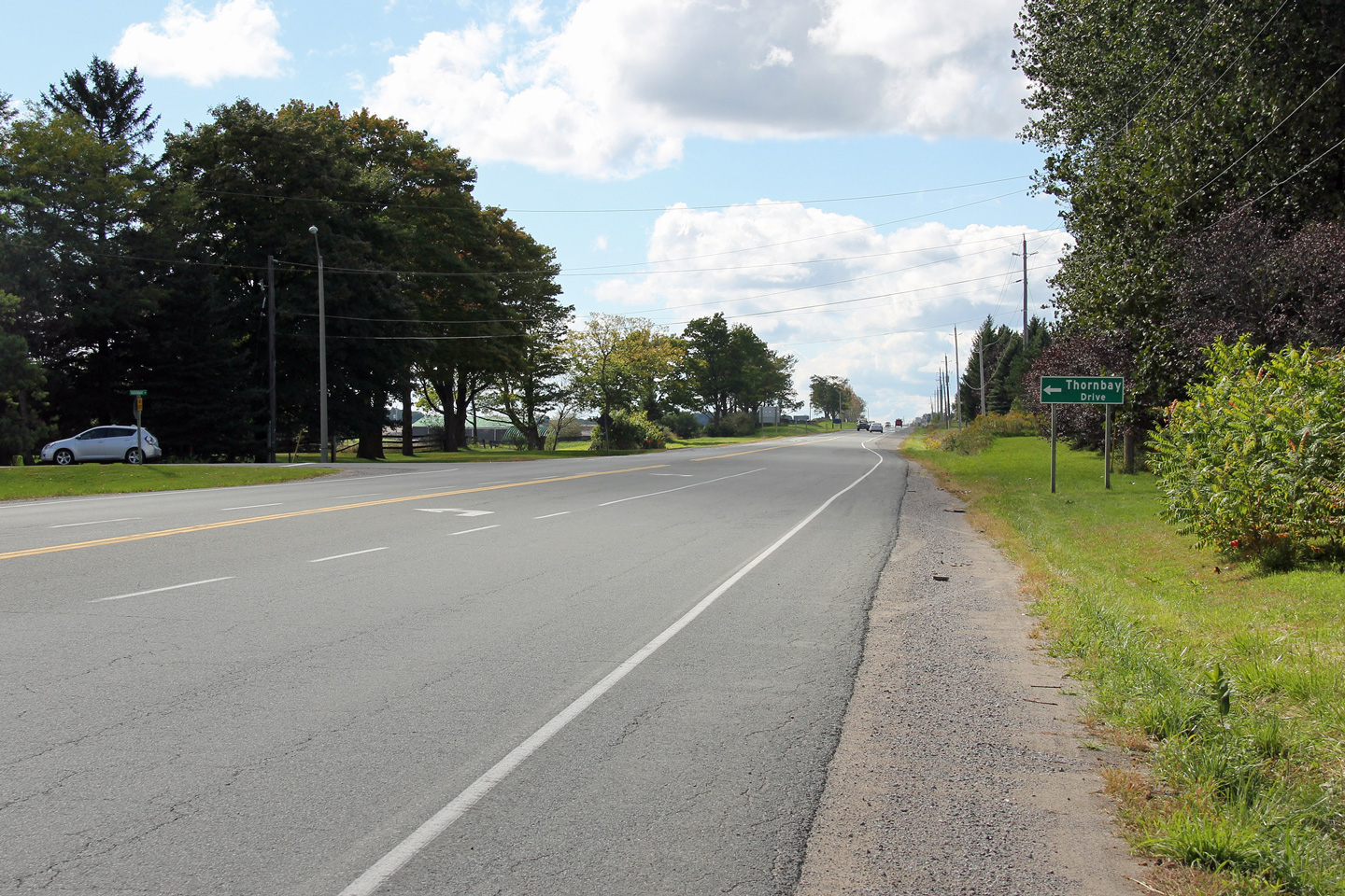
| Town of Whitchurch-Stouffville Regional Municipality of York |
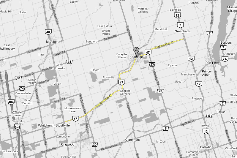
The MTO had jurisdiction over this stretch of what has become Bloomington
Sideroad for 5 years between 1993 and 1998. The only improvement that
was made to this road during their tenure was the addition of this left turn
lane at Thornbay Drive, immediately east of Ninth Line. Photo taken: September 22nd, 2012. |
 (720x480) (1440x960) (2400x1600) |
|
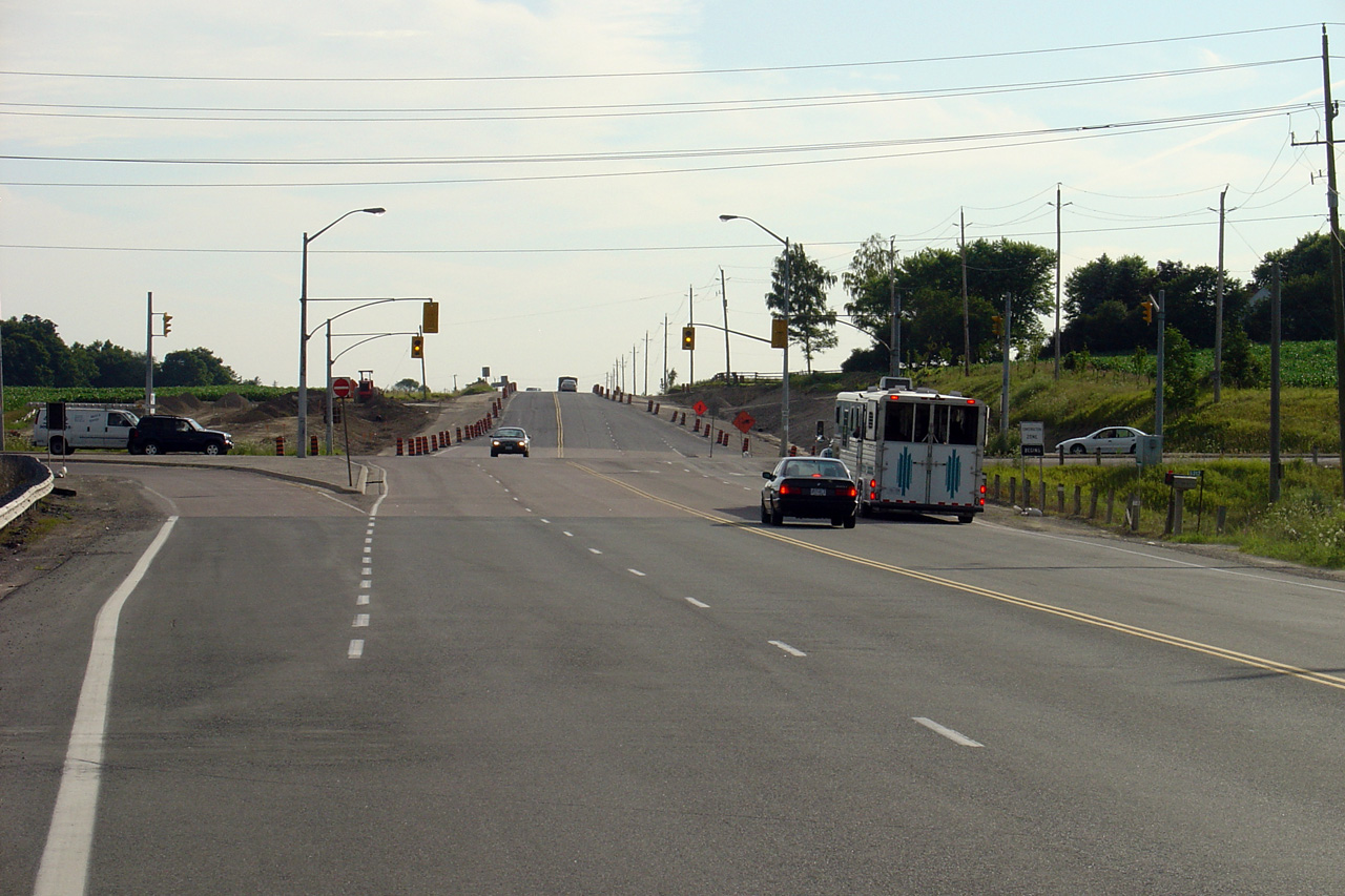
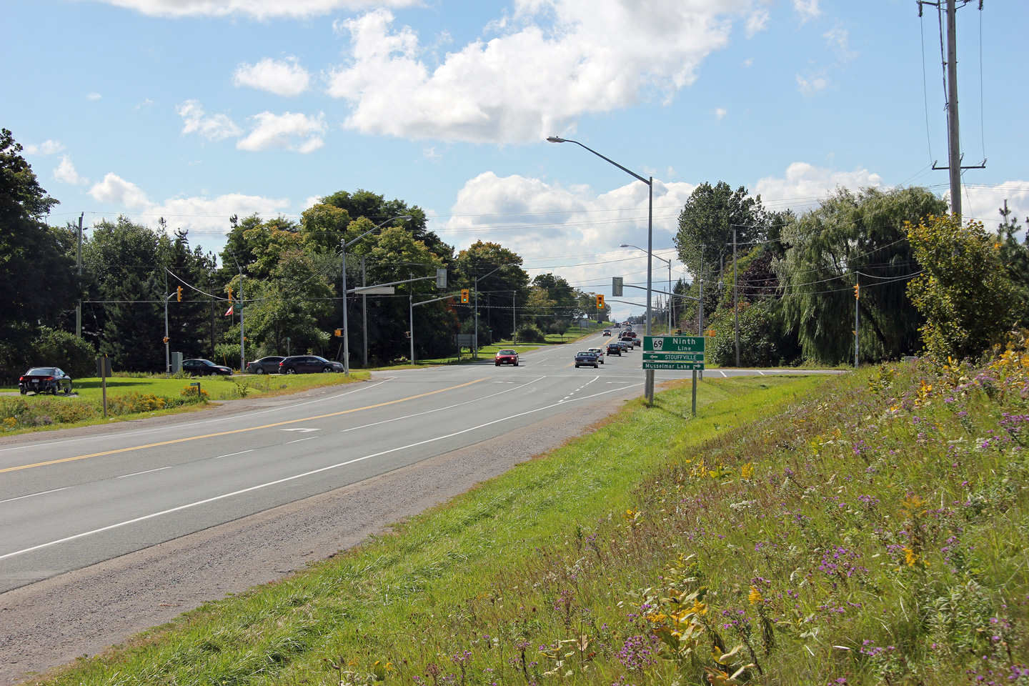
| Town of Whitchurch-Stouffville Regional Municipality of York |
Easterly view along Highway 47 towards the Ninth Line intersection. Photo taken: September 22nd, 2012. |
 (720x480) (1440x960) (2400x1600) |
|
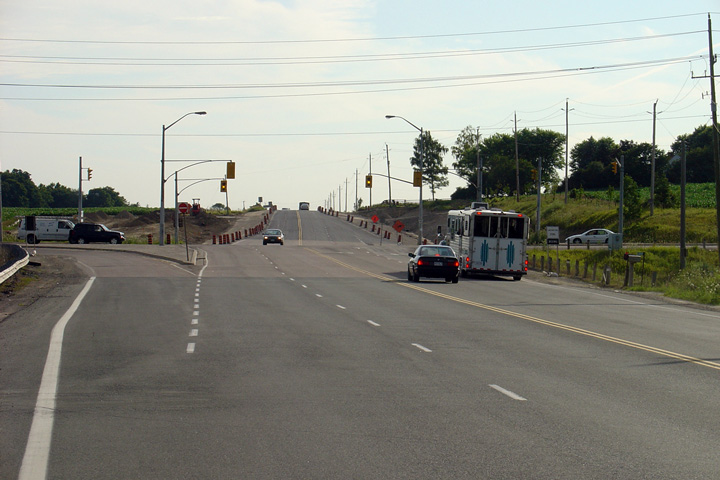
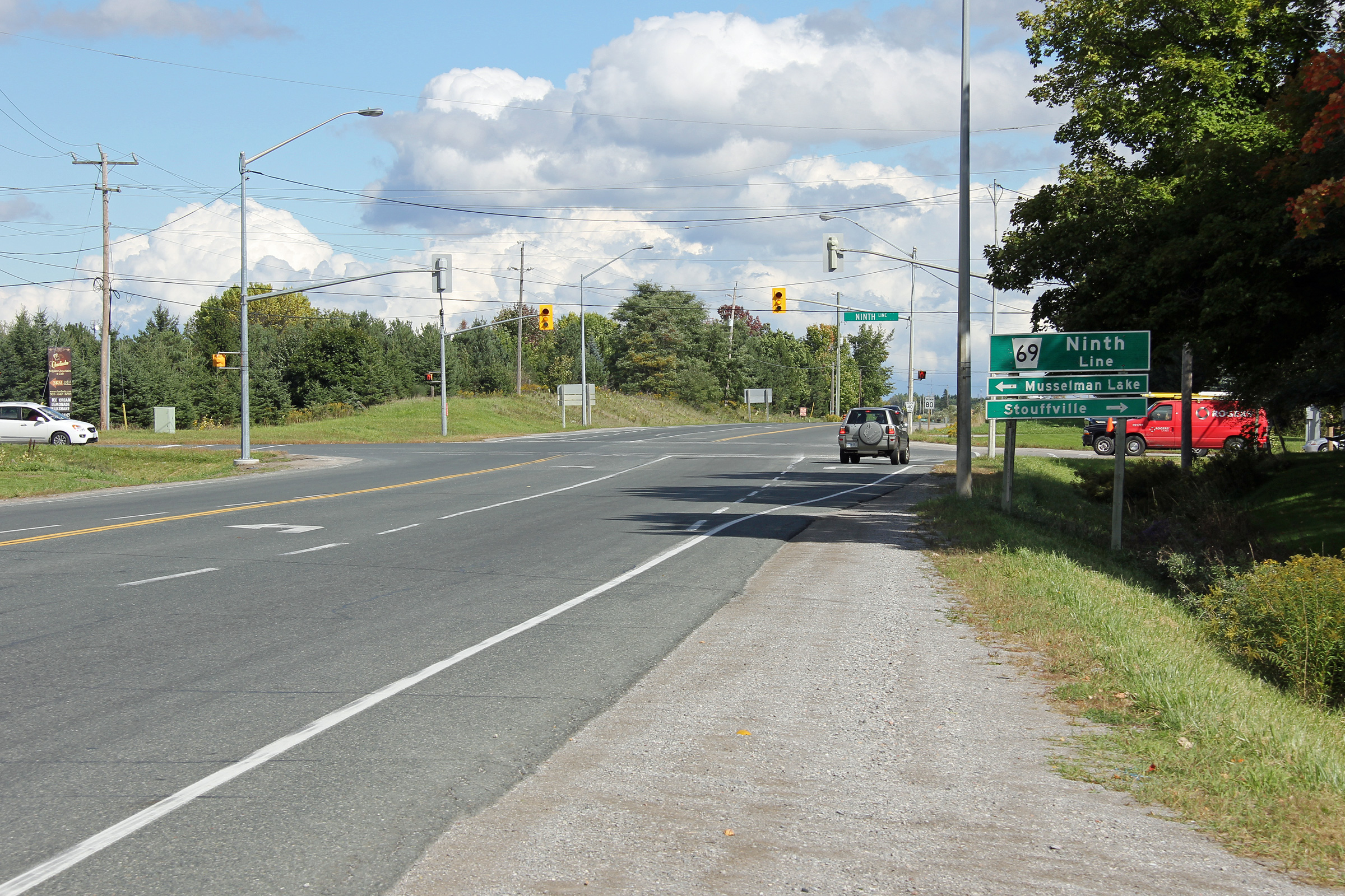
| Town of Whitchurch-Stouffville Regional Municipality of York |
Easterly view approaching the Ninth Line intersection. The only clue
that this road was ever maintained by the province stands in the guide
signage that remains at some intersections. Photo taken: September 22nd, 2012. |
 (720x480) (1440x960) (2400x1600) |
|
| Town of Whitchurch-Stouffville Regional Municipality of York |
This view looks easterly approaching the York/Durham Line intersection. Photo taken: July 20th, 2012. |
 |
|
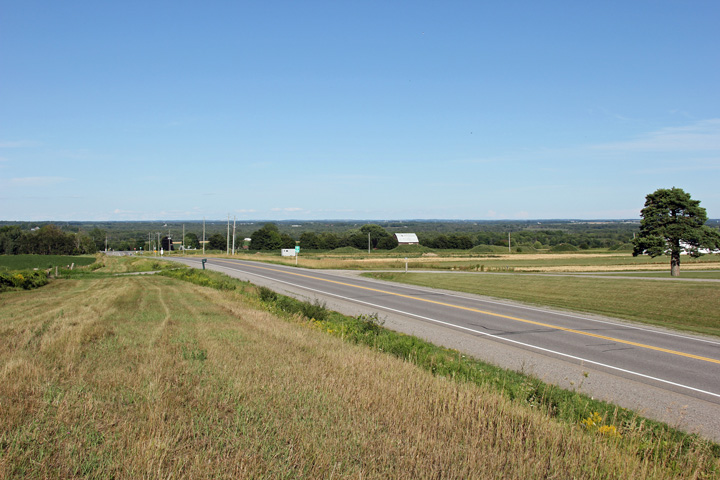
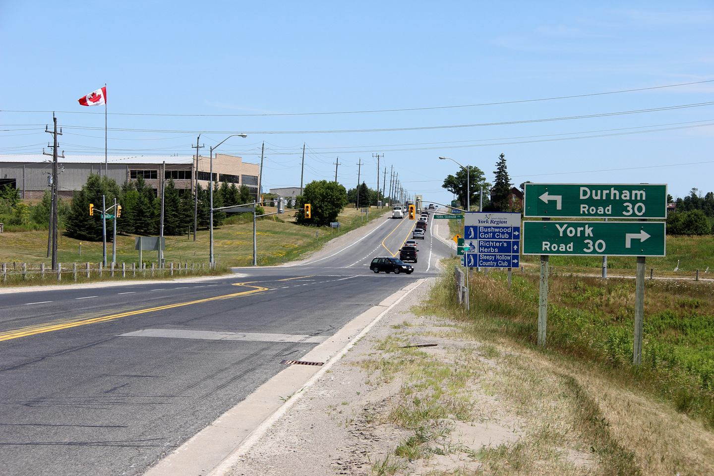
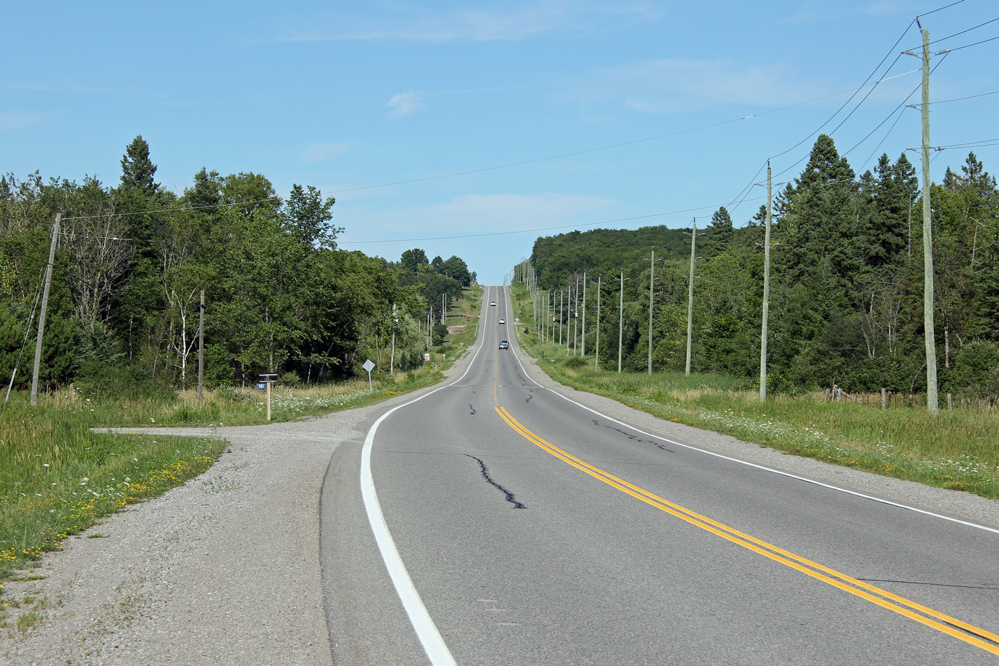
| Township of Uxbridge Regional Municipality of York |
Westerly view towards the York/Durham Line intersection. Prior to
1993, Highway 47 turned left at this intersection, following the York/Durham
Line and Stouffville's Tenth Line into Downtown Stouffville. Photo taken: July 20th, 2012. |
 |
|
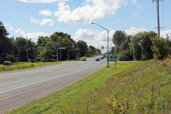
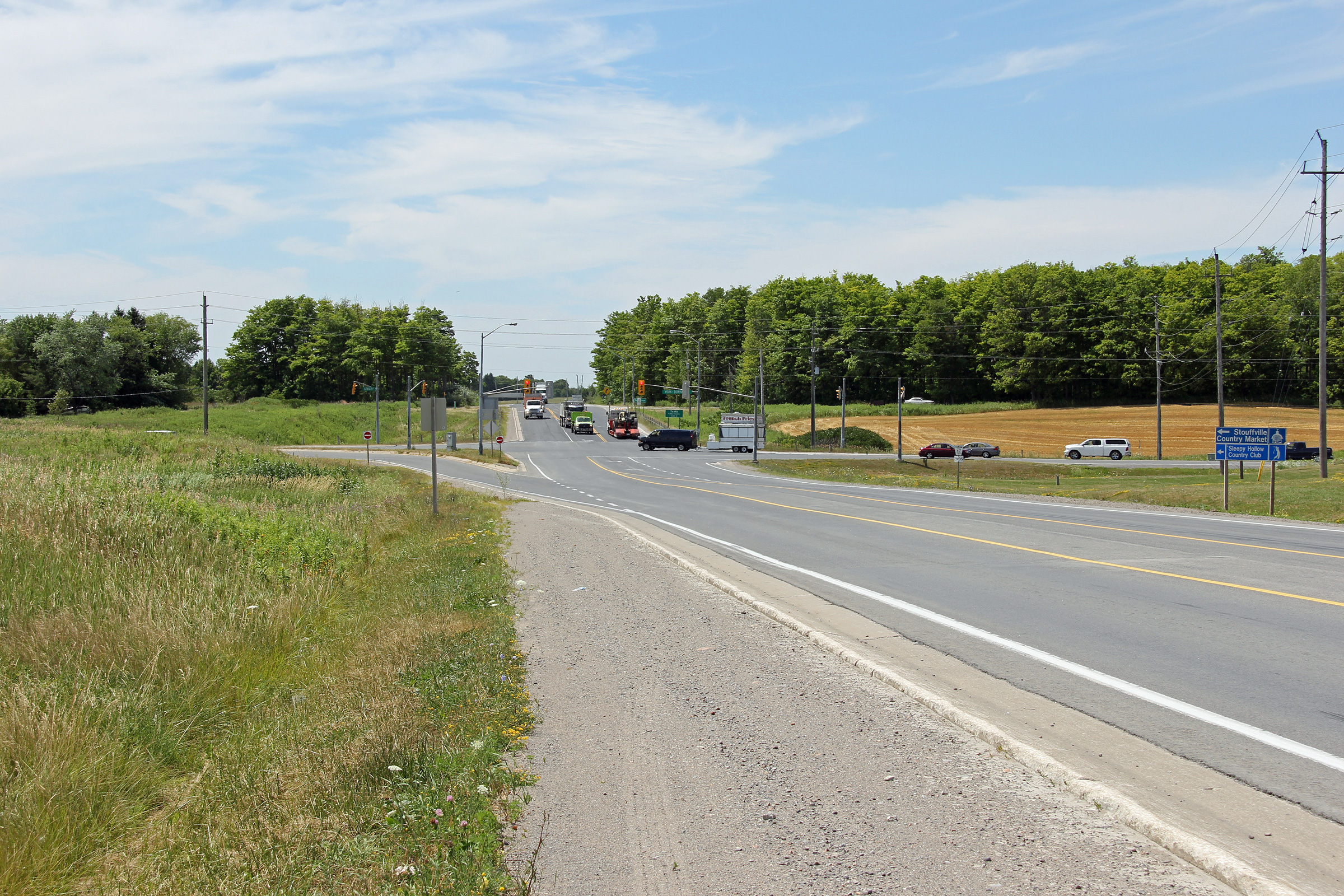
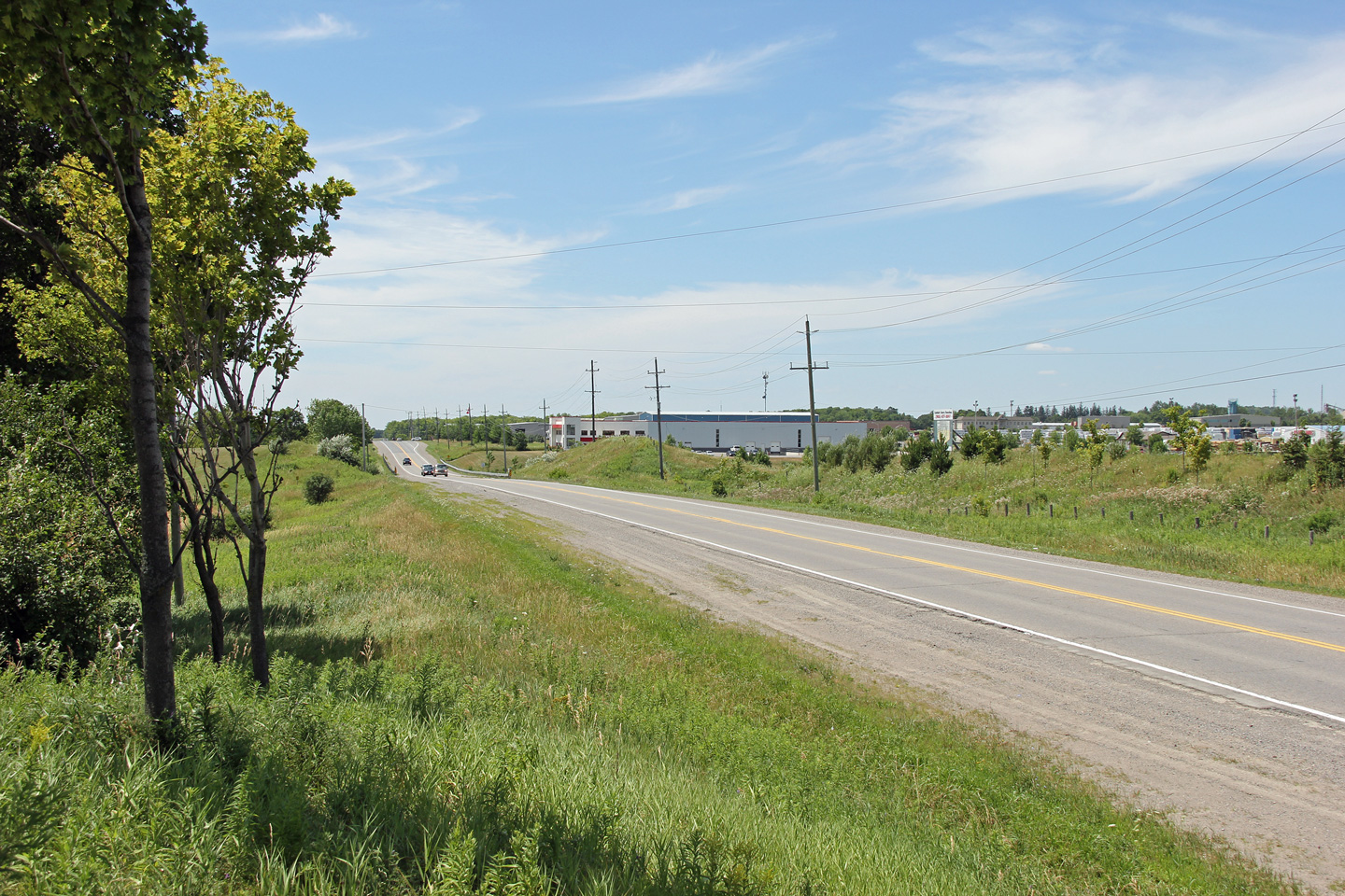
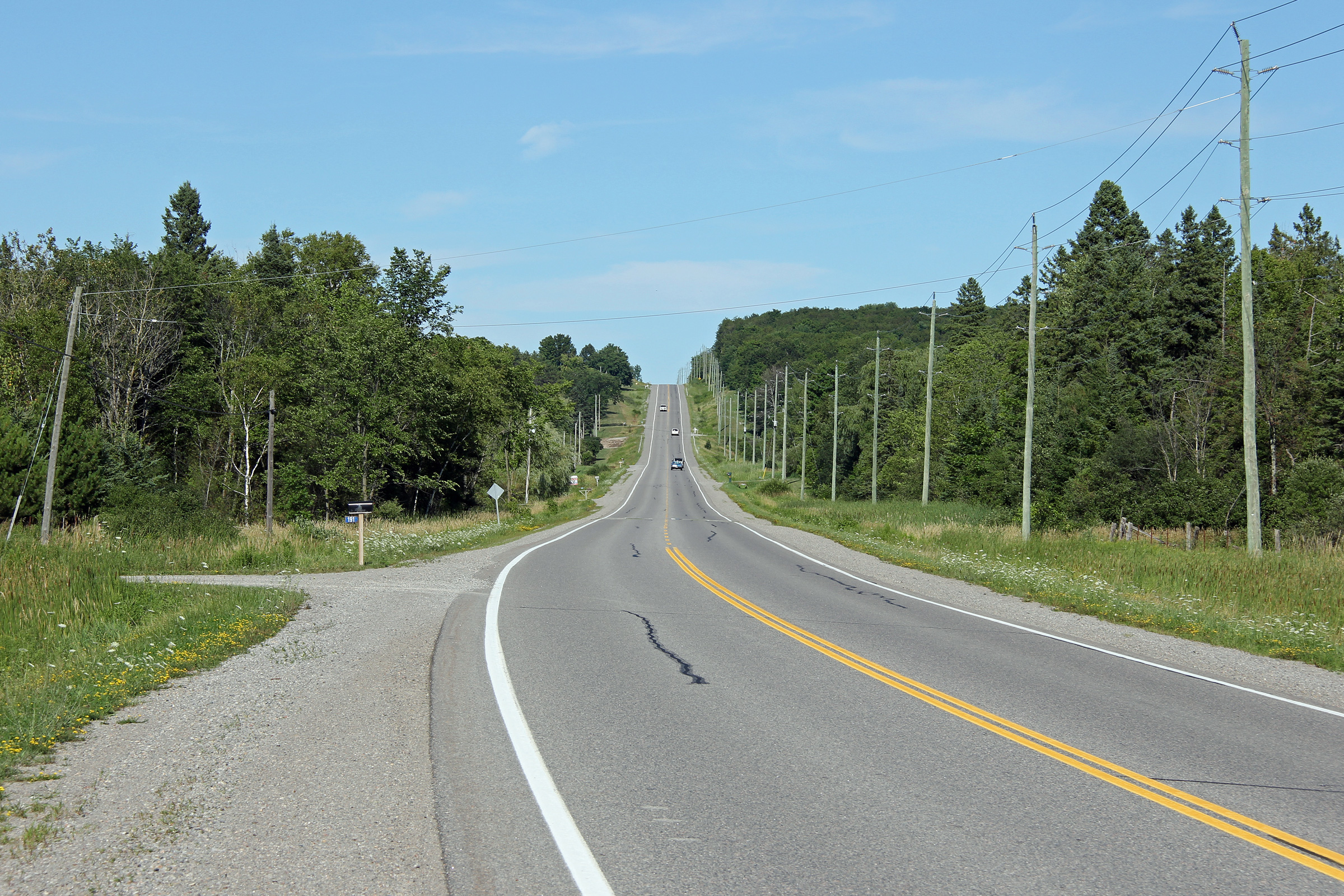
| Township of Uxbridge Regional Municipality of York |
Two views looking westerly along Highway 47 between Uxbridge Concession 2
and the York/Durham Line. The Township of Uxbridge has zoned a large
business park to the northeast of York/Durham Line's intersection with
Highway 47. From this business park, it is only a short 15 minute
drive along Bloomington Road to Highway 404 in York Region. Photos taken: July 20th, 2012. |
 (720x480) (1440x960) (2400x1600) 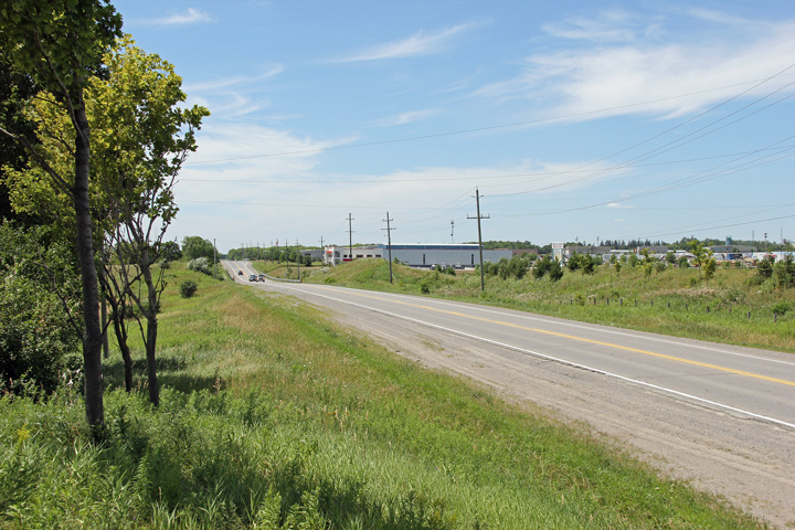 (720x480) (1440x960) (2400x1600) |
|
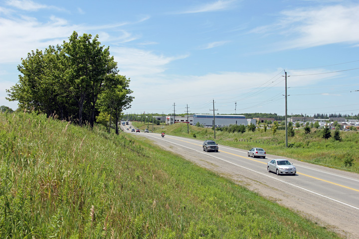
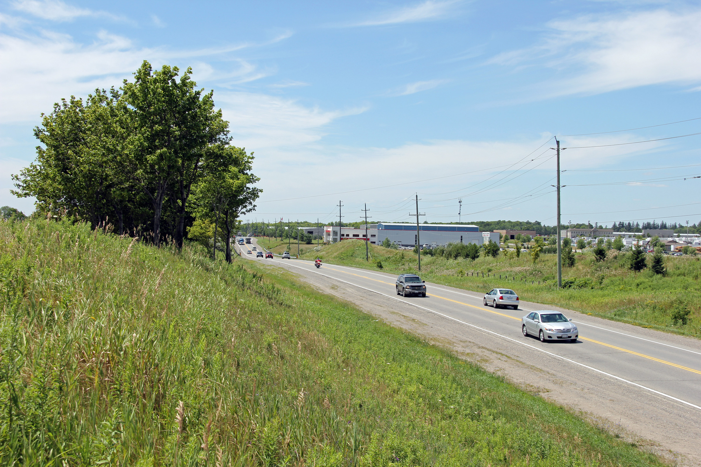
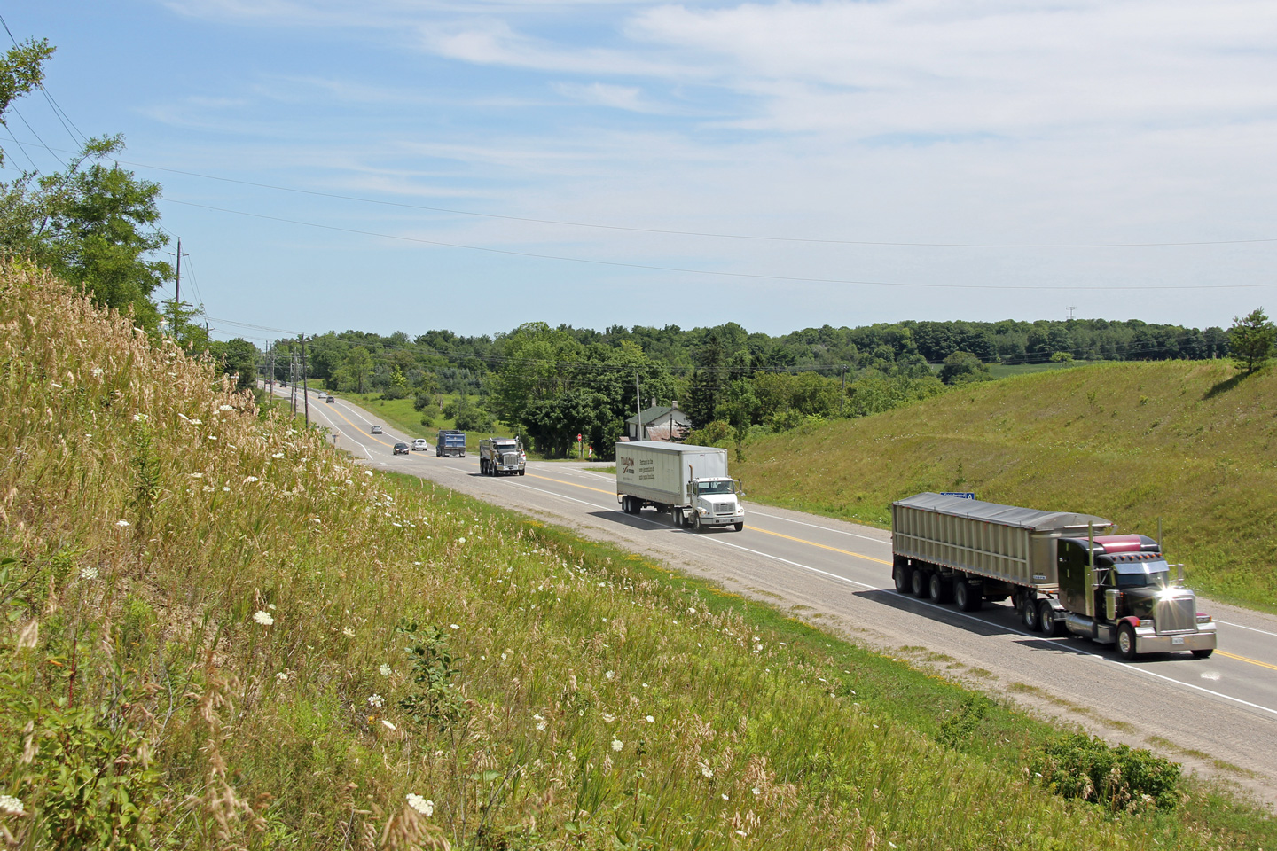
| Township of Uxbridge Regional Municipality of York |
Easterly view from west of the Concession 2 intersection showing heavy truck
traffic. A considerable amount of earth needed to be removed in order to
flatten Highway 47 through western Uxbridge Township. Photo taken: July 20th, 2012. |
 (720x480) (1440x960) (2400x1600) |
|
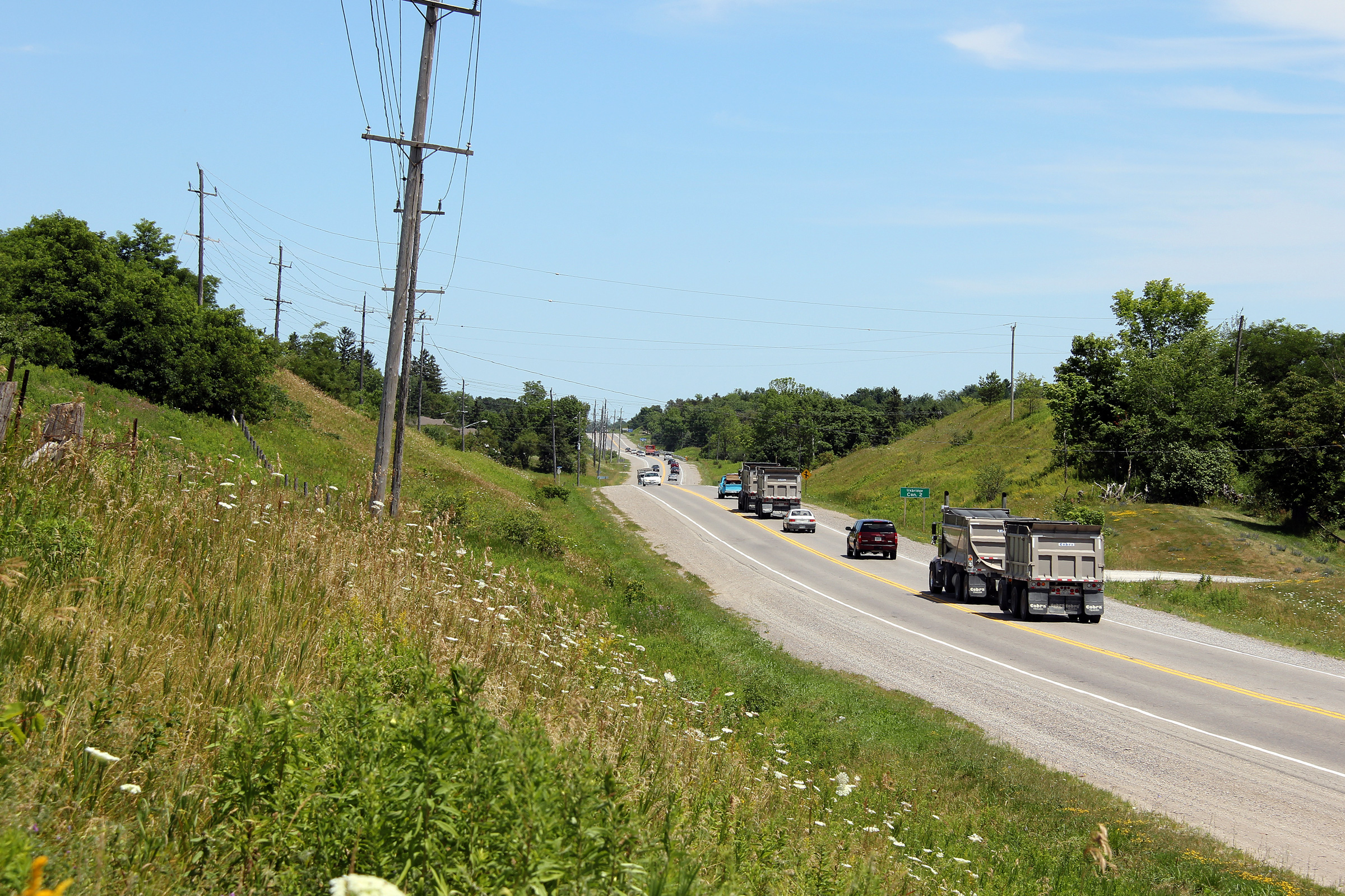
| Township of Uxbridge Regional Municipality of York |
Two views showing Highway 47 thick with midday traffic at the Uxbridge
Concession 2 intersection. Highway 47 carries a considerable volume of
heavy truck traffic. There are a number of gravel quarries in the area
which mine aggregate for use in the cities to the south. Photos taken: July 20th, 2012. |
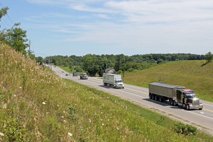 (720x480) (1440x960) (2400x1600) 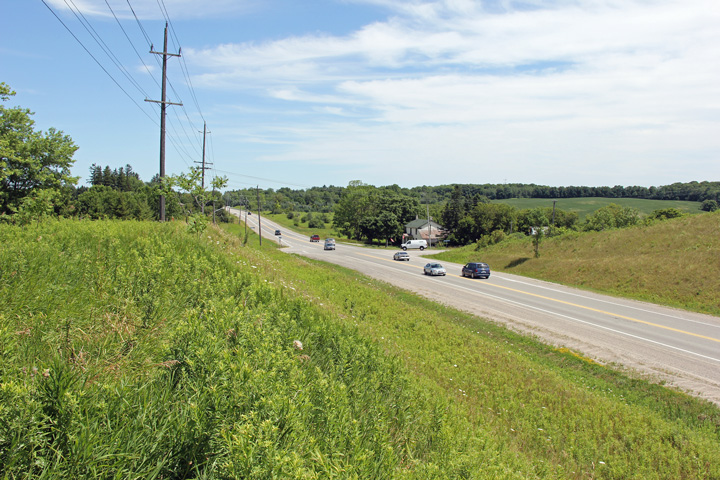 (720x480) (1440x960) (2400x1600) |
|
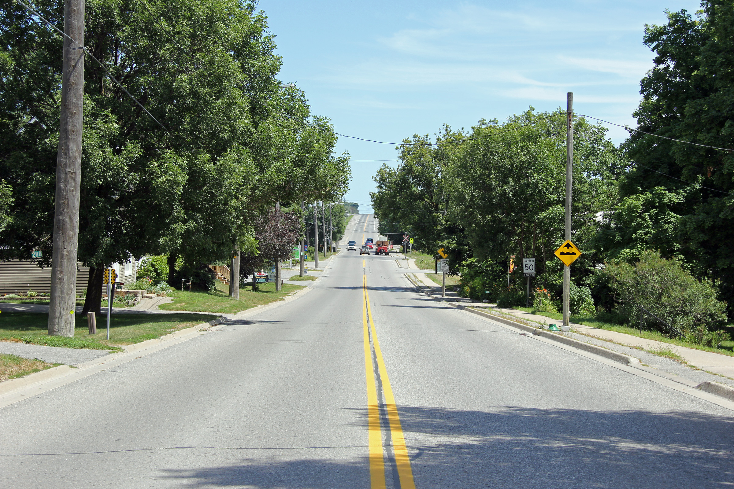
| Township of Uxbridge Regional Municipality of York |
View looking westerly from the top of the hill in Goodwood towards
Stouffville. Photo taken: July 20th, 2012. |
 |
|
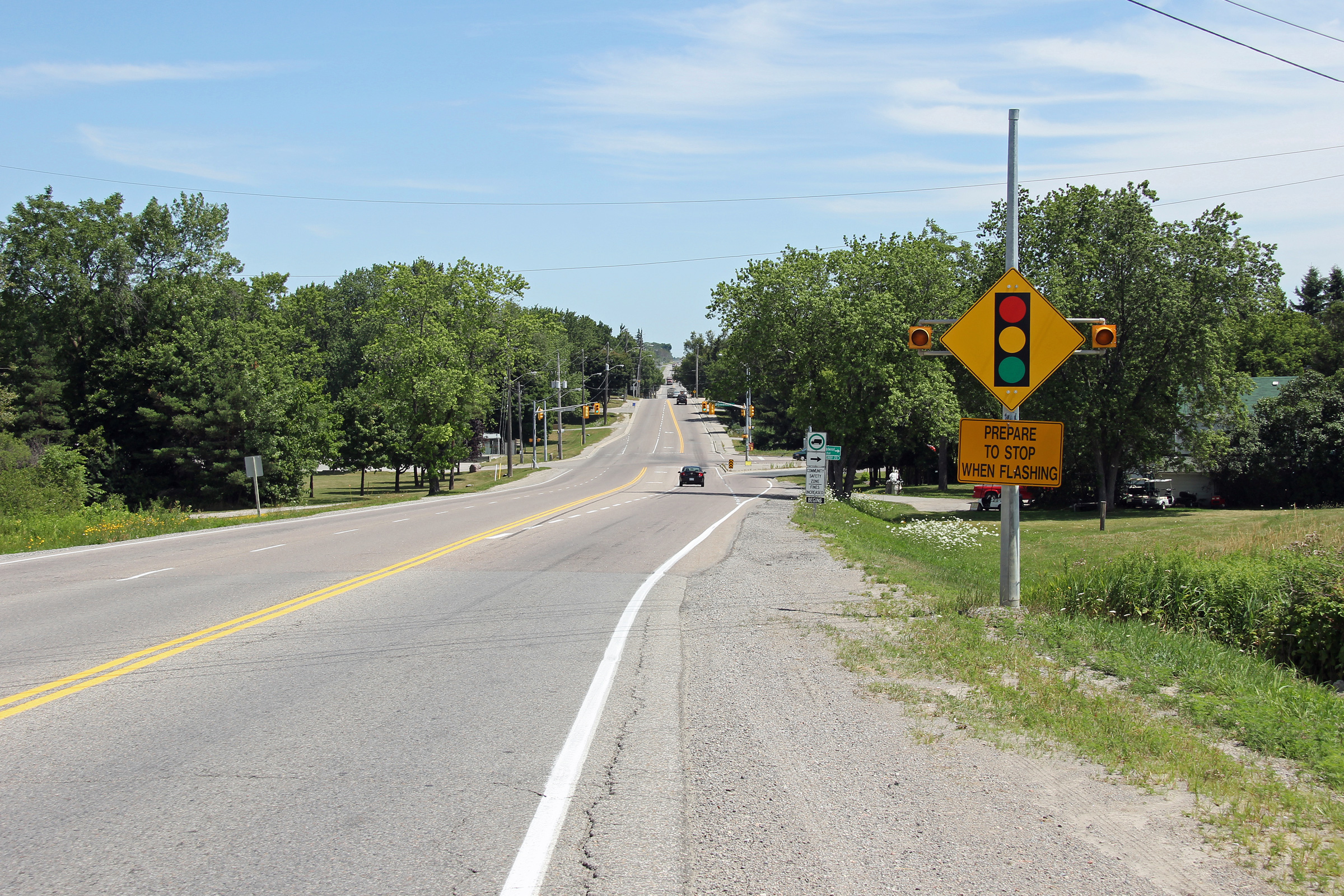
| Township of Uxbridge Regional Municipality of Durham |
Highway 47 looking east through Goodwood, from the west side of the community. At the traffic lights at the bottom of the hill, Durham Road 21 departs from Highway 47 leading traffic to Highway 7A and Port Perry. Photo taken: July 20th, 2012. |
||
| Township of Uxbridge Regional Municipality of Durham |
This view looks westerly towards the Goodwood Road intersection. Photo taken: July 20th, 2012. |
 |
|
| Township of Uxbridge Regional Municipality of Durham |
Easterly view through Goodwood towards the level crossing with the
York/Durham Heritage Railway line. This railway line now truncates in
Uxbridge, but formerly extended to Lindsay and beyond. GO operates
train service on this line from Lincolnville (near the intersection of
Highway 47 and York/Durham Line) southerly. Presumably the tracks were
never lifted between Lincolnville and Uxbridge to facilitate an eventual
extension of commuter rail service to Uxbridge. Photo taken: July 20th, 2012. |
 |
|
| Township of Uxbridge Regional Municipality of Durham |
View looking easterly along Highway 47 approaching the Brock Street (Durham
Road 8-West) intersection. Eastbound traffic must turn right at this
intersection to continue along Highway 47. Photo taken: September 12th, 2012. |
 |
|
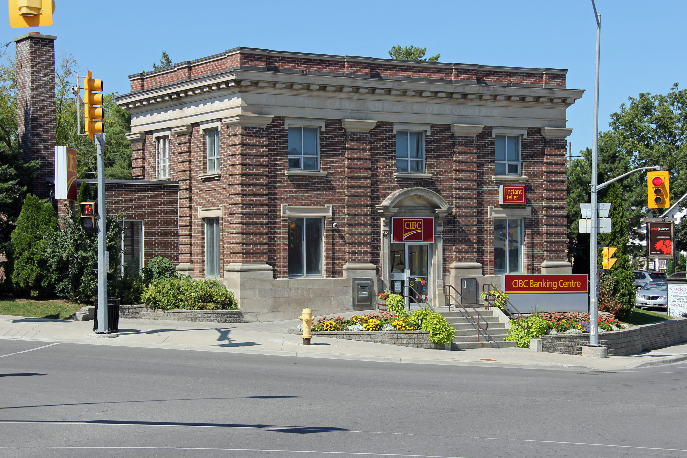
| Township of Uxbridge Regional Municipality of Durham |
The stately CIBC building stands at the corner of Toronto and Brock Streets. Photo taken: September 3rd, 2012. |
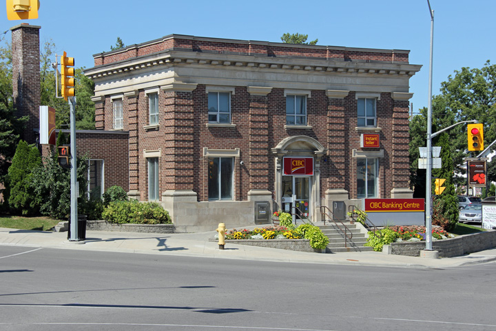 |
|
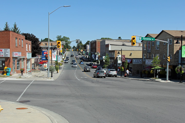
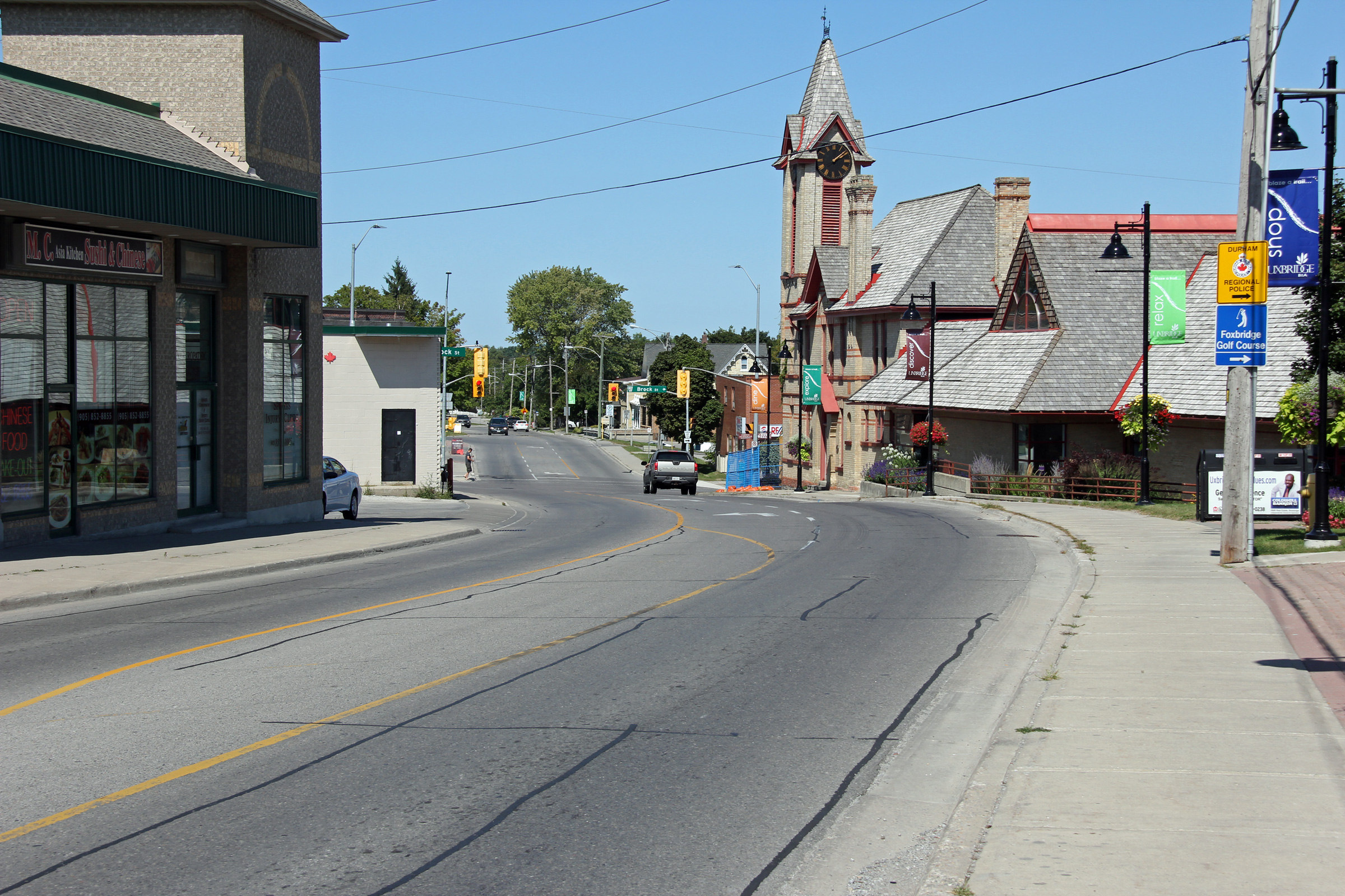
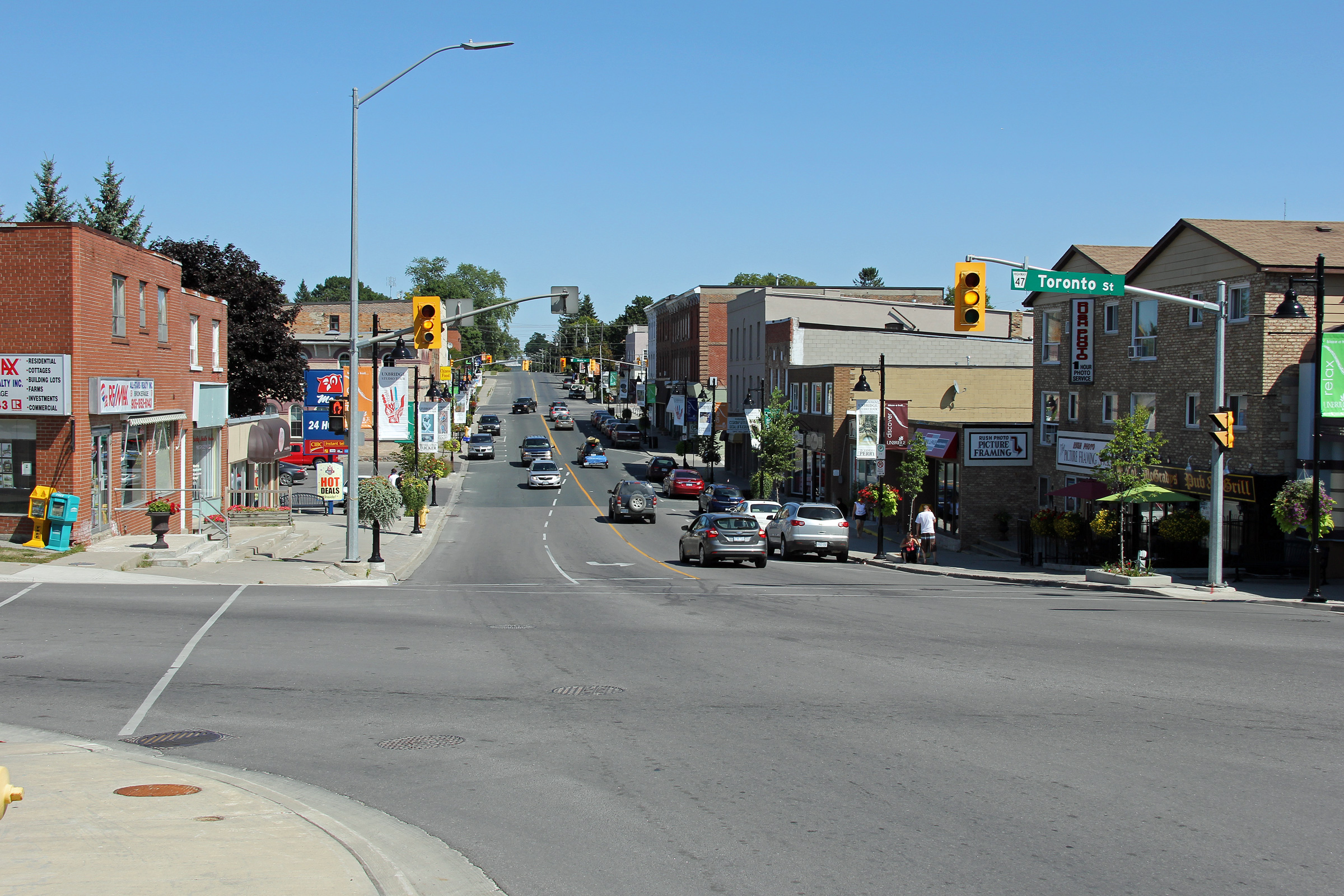
| Township of Uxbridge Regional Municipality of Durham |
Easterly view along Highway 47 through Downtown Uxbridge. Most of
Uxbridge's commercial activity has moved away from the historic downtown to
large format stores located along Highway 47 in the southwest part of town. Photo taken: September 3rd, 2012. |
 |
|
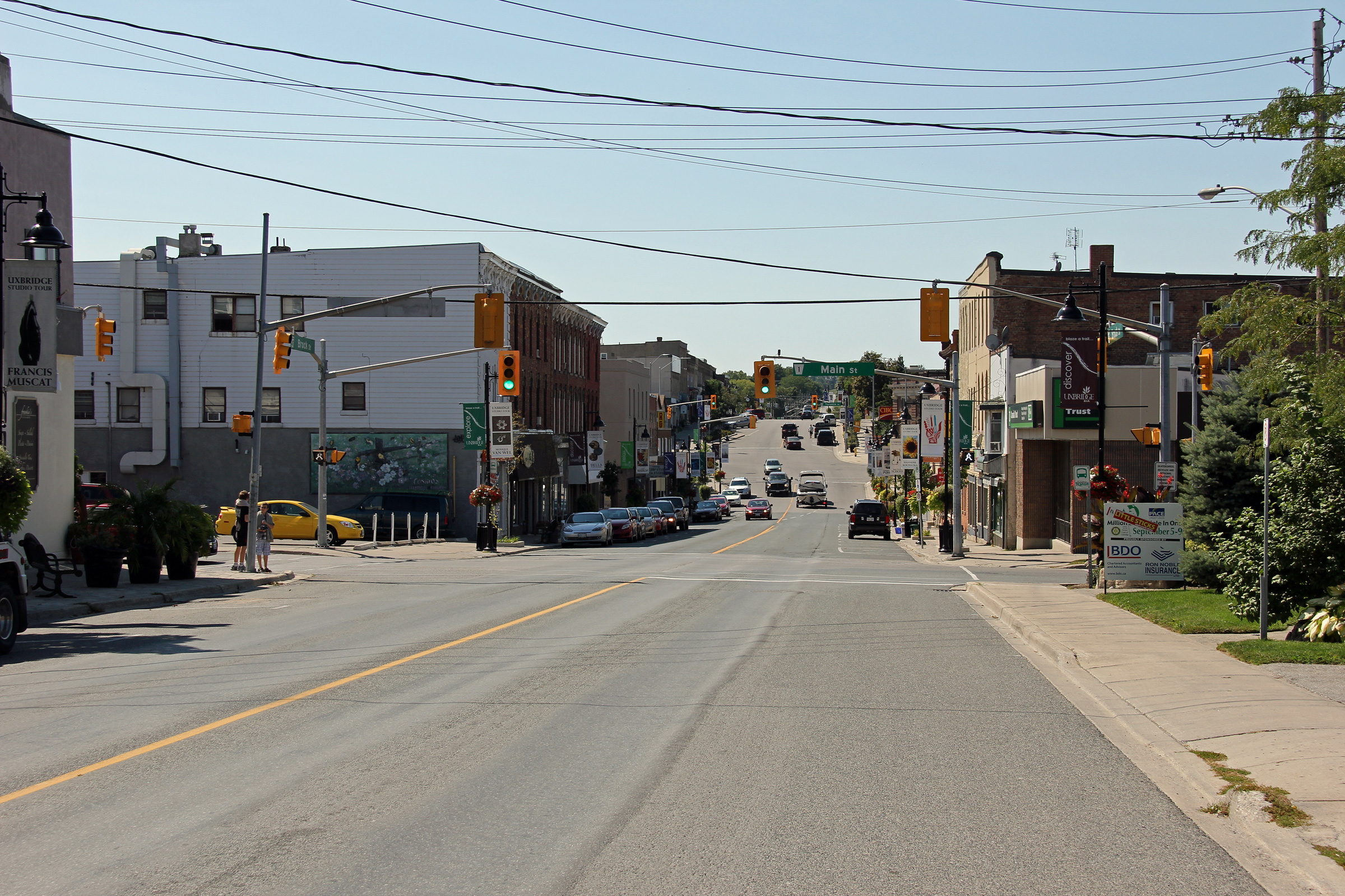
| Township of Uxbridge Regional Municipality of Durham |
View looking westerly through Downtown Uxbridge. The building stock
that remains in downtown does not maintain the heritage of Queen Street in
neighbouring Port Perry. Photo taken: September 3rd, 2012. |
 |
|
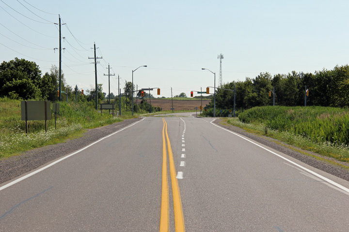
| Township of Uxbridge Regional Municipality of Durham |
View looking east along Highway 47 approaching the Lake Ridge Road
intersection. Lake Ridge Road is located roughly 2km east of the
centre of Uxbridge. Traffic signals were placed at this intersection
in 1997, shortly before Highway 47 was transferred to the Region of Durham
in 1998. Photo taken: May 9th, 2006. |
 (720x480) (1440x960) (2400x1600) |
|
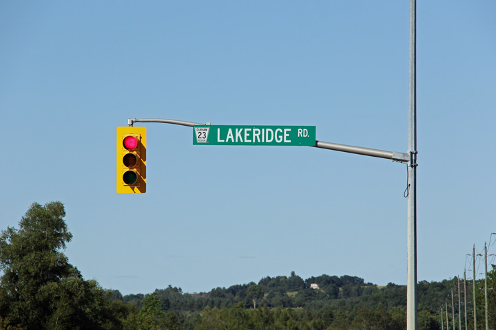
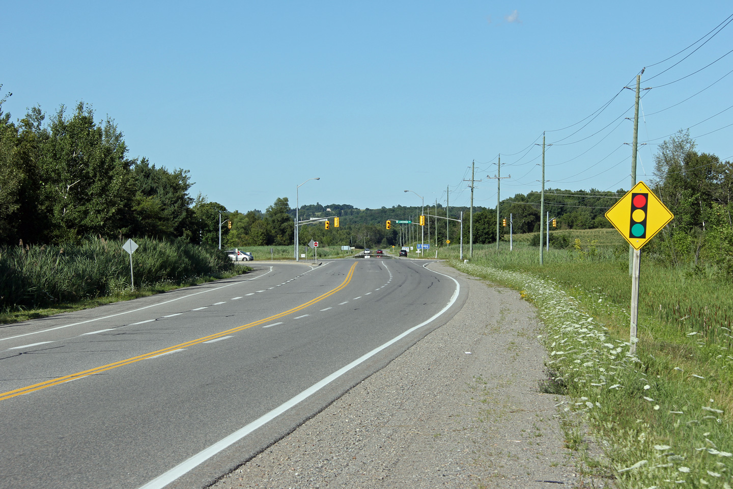
| Uxbridge / Scugog Boundary Regional Municipality of Durham |
Blade signage affixed to the traffic signal mast arm for Lakeridge Road.
This sign was erected by the Regional Municipality of Durham shortly after
Highway 47 was transferred to the region. The region has altered their
traffic signal mast signage since this sign was erected -- no longer does
the region use all-caps in their signage. Photo taken: July 28th, 2012. |
 (720x480) (720x480)(1440x960) |
|
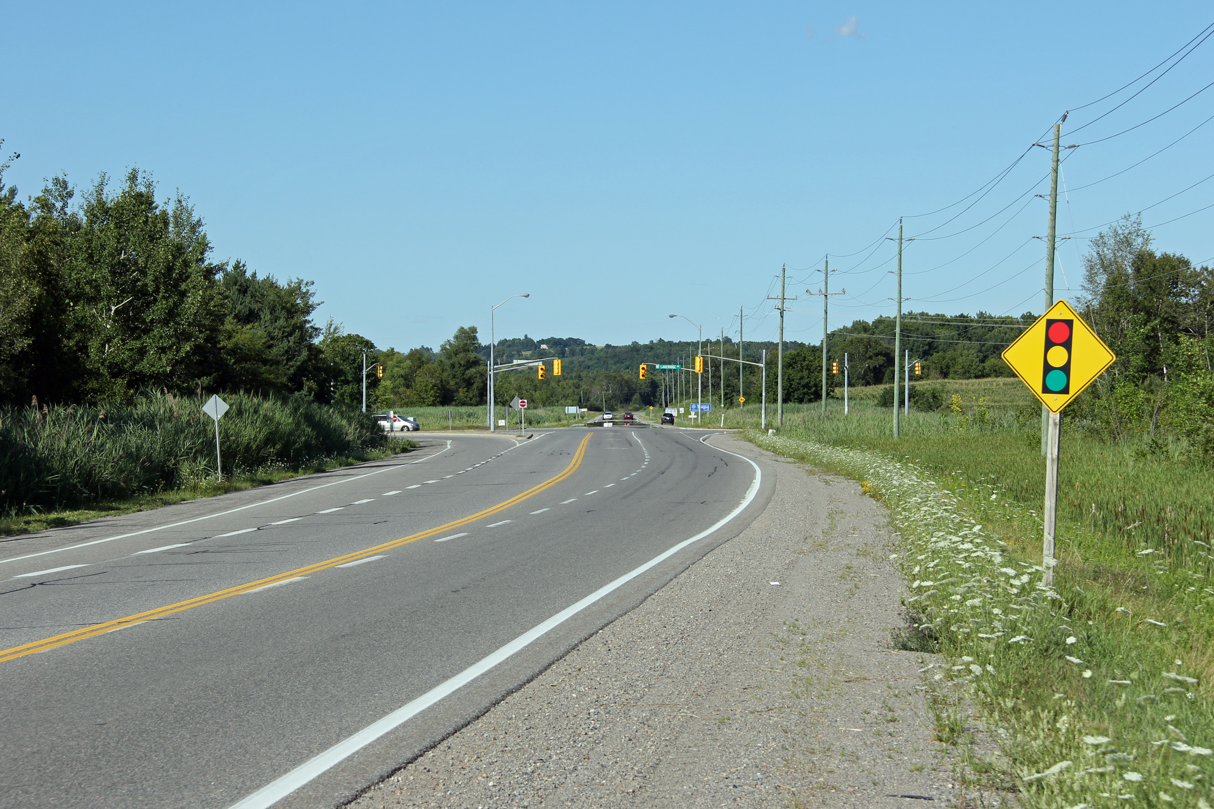
| Township of Scugog Regional Municipality of Durham |
View looking west along Highway 47 towards the Lake Ridge Road intersection.
Traffic signals were installed at this intersection in the mid 1990s. Photo taken: May 9th, 2006. |
 |
|
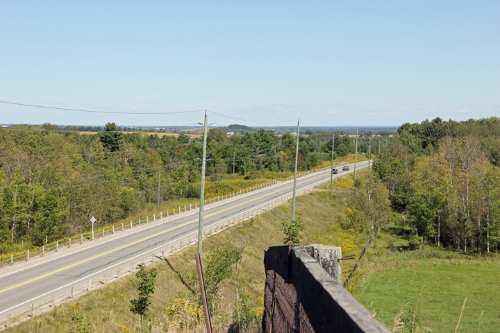
| Township of Scugog Regional Municipality of Durham |
View looking easterly from just east of Lakeridge Road along Highway 47 as
it climbs the high ridge that separates the Lake Simcoe drainage basin from
the Lake Scugog drainage basin. Photo taken: July 28th, 2012. |
 |
|
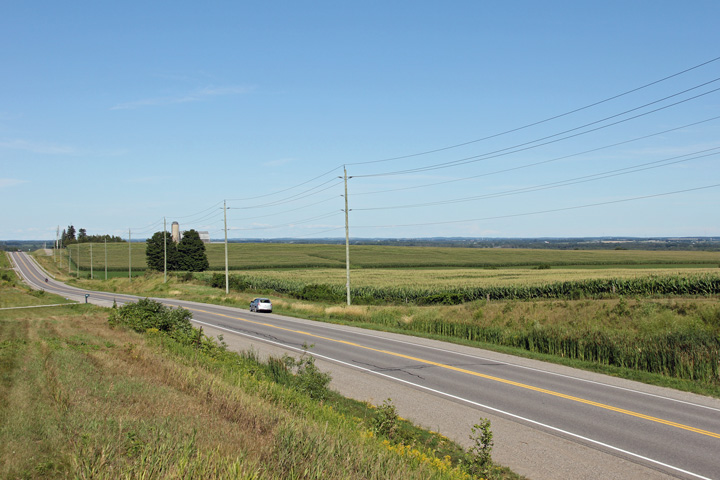
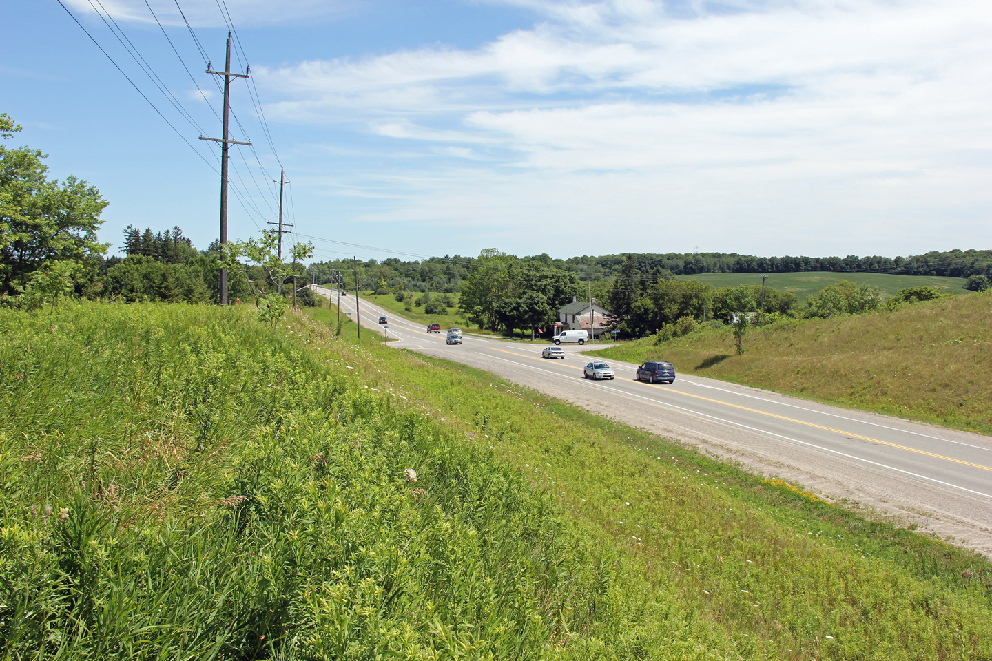
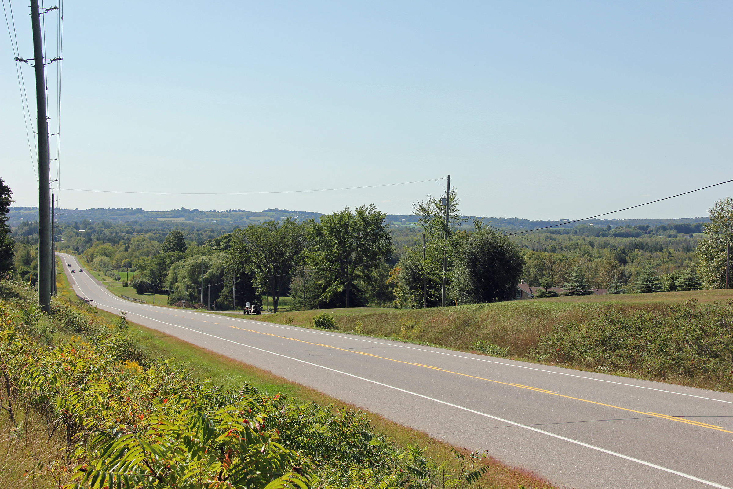
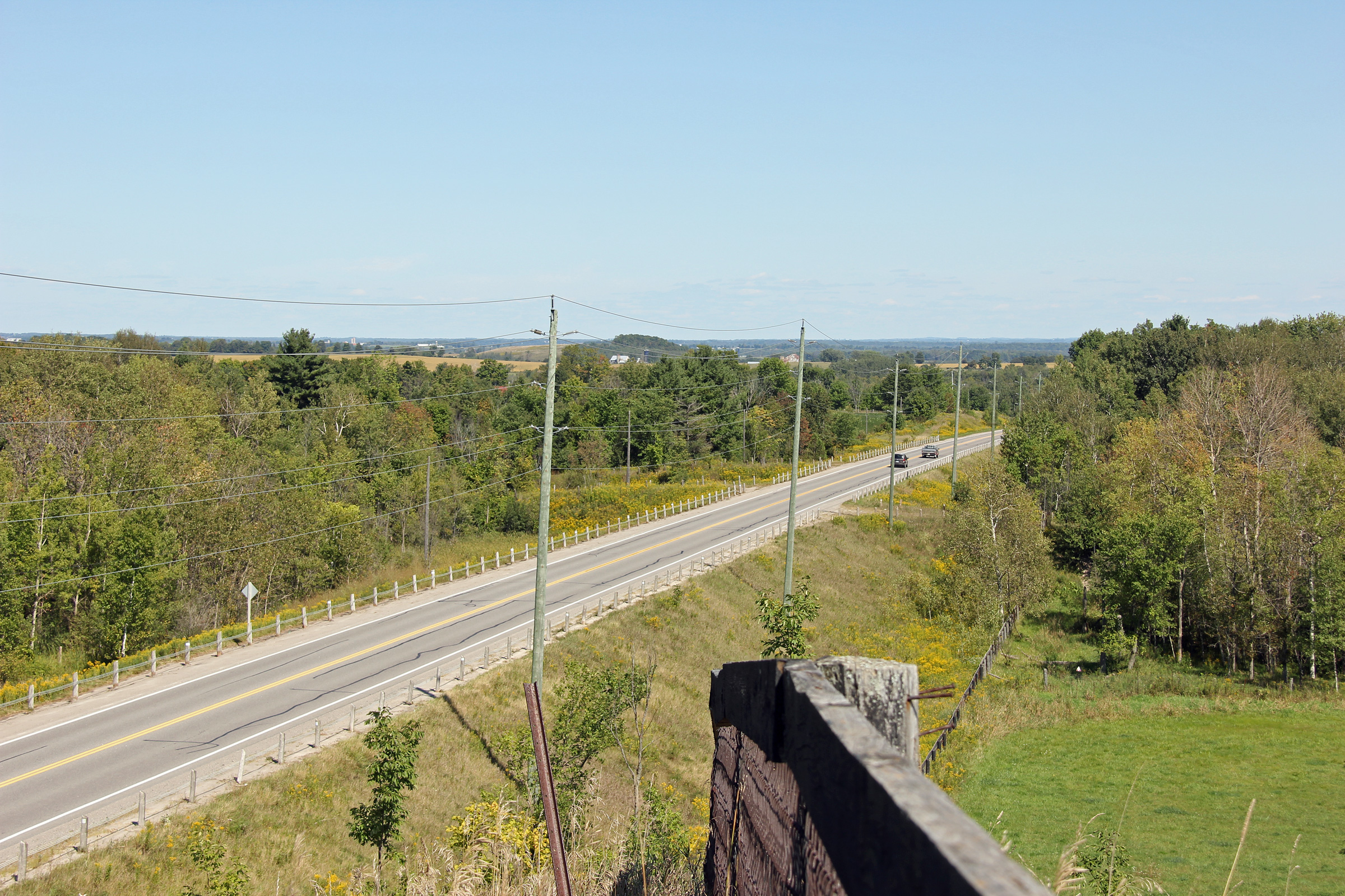
| Township of Scugog Regional Municipality of Durham |
Looking west along Highway 47 towards Uxbridge from roughly 2km east of the
Lake Ridge Road intersection. When originally constructed Highway 47
followed the graded alignment that is visible straight ahead of the
left-hand curve that is visible at the bottom of the pictured hill. Photo taken: September 2nd, 2012. |
 (720x480) (1440x960) (2400x1600) |
|
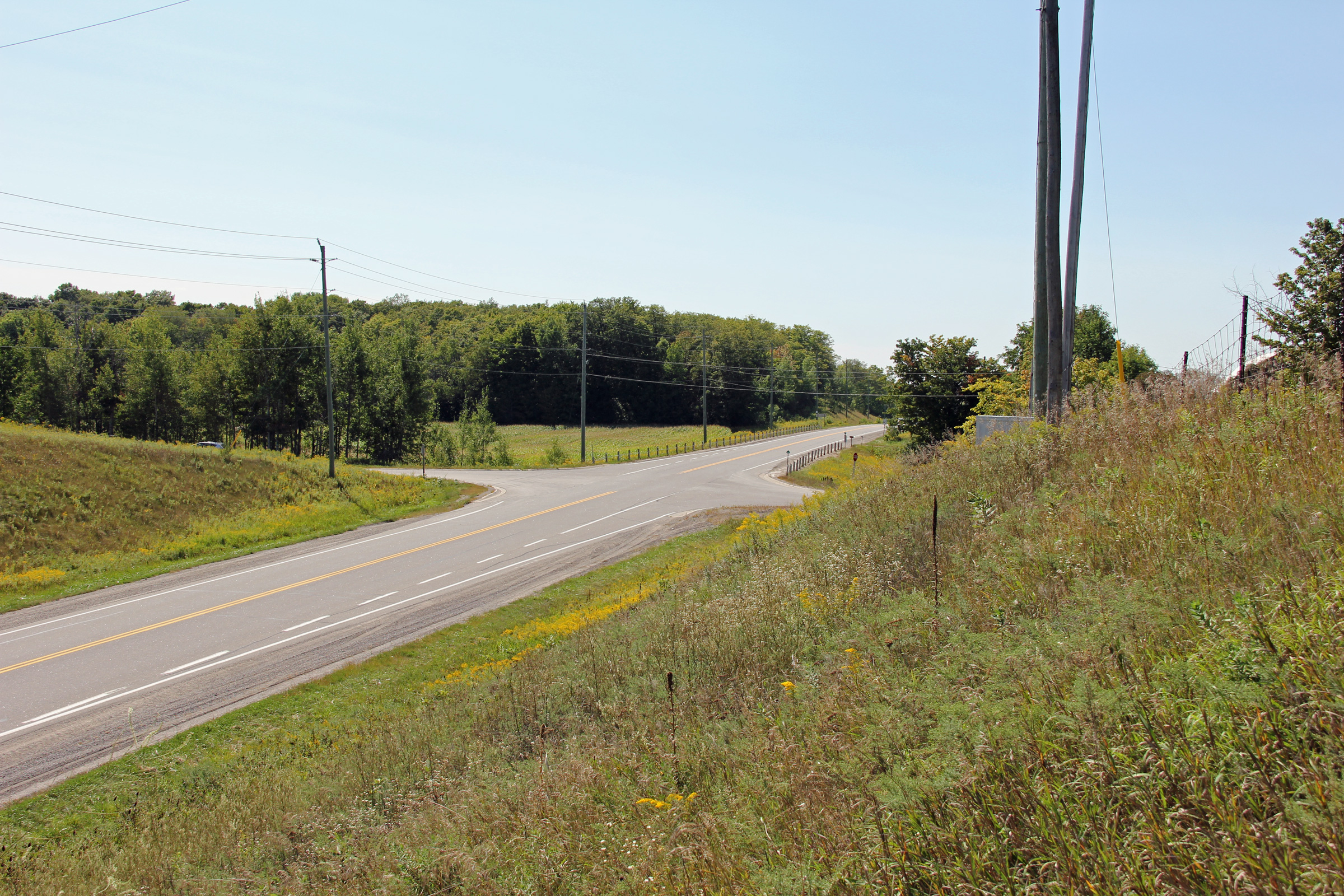
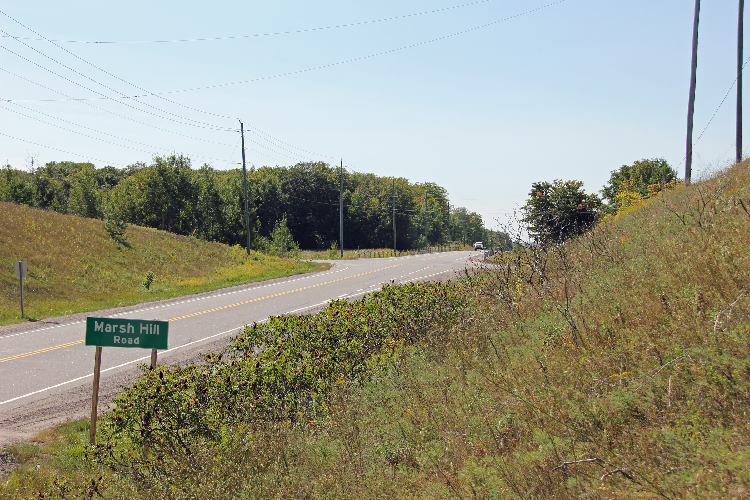
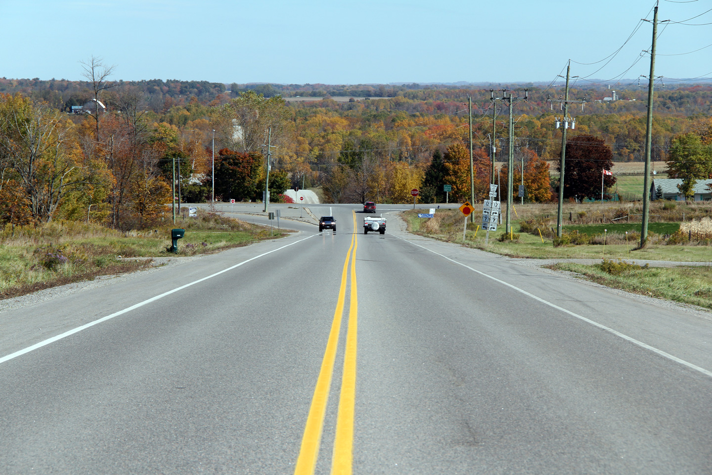
| Township of Scugog Regional Municipality of Durham |
Two views looking westerly from the Marsh Hill Road intersection.
Between Highway 47 and Durham Road 8 (the next major road to the south)
Marsh Hill Road follows the top of a high ridge that serves as the drainage
divide between Lakes Simcoe and Scugog. As such, motorists are treated
to some scenic views of pastoral farmland. Photos taken: September 2nd, 2012. |
 (720x480) (1440x960) (2400x1600)  (720x480) (1440x960) (2400x1600) |
|
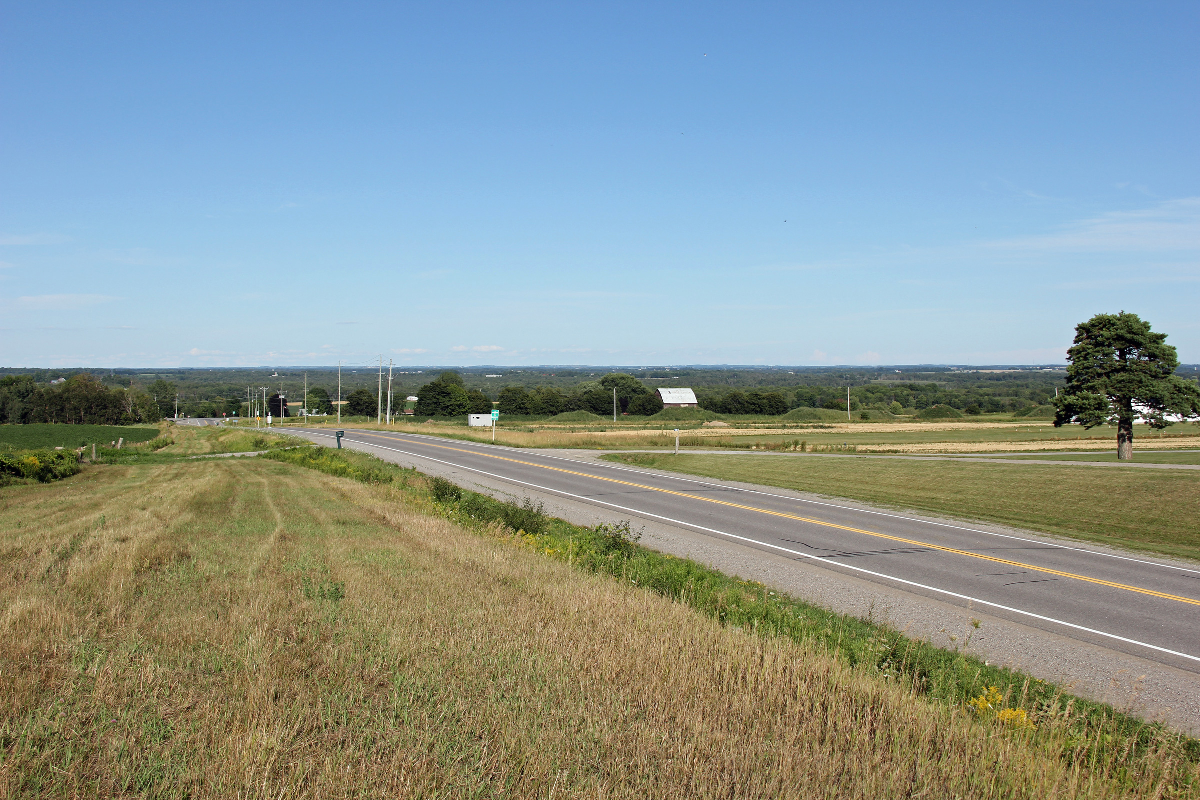
| Township of Scugog Regional Municipality of Durham |
View looking east along Highway 47 from just east of the Marsh Hill Road
intersection. Photo taken: September 2nd, 2012. |
 (720x480) (1440x960) (2400x1600) |
|
| Township of Scugog Regional Municipality of Durham |
View looking westerly along Highway 47 towards Marsh Hill Road. Photo taken: October 10th, 2010. |
 |
|
| Township of Scugog Regional Municipality of Durham |
Easterly view along Highway 47 towards Highway 7/12. Photo taken: July 28th, 2012. |
 |
|
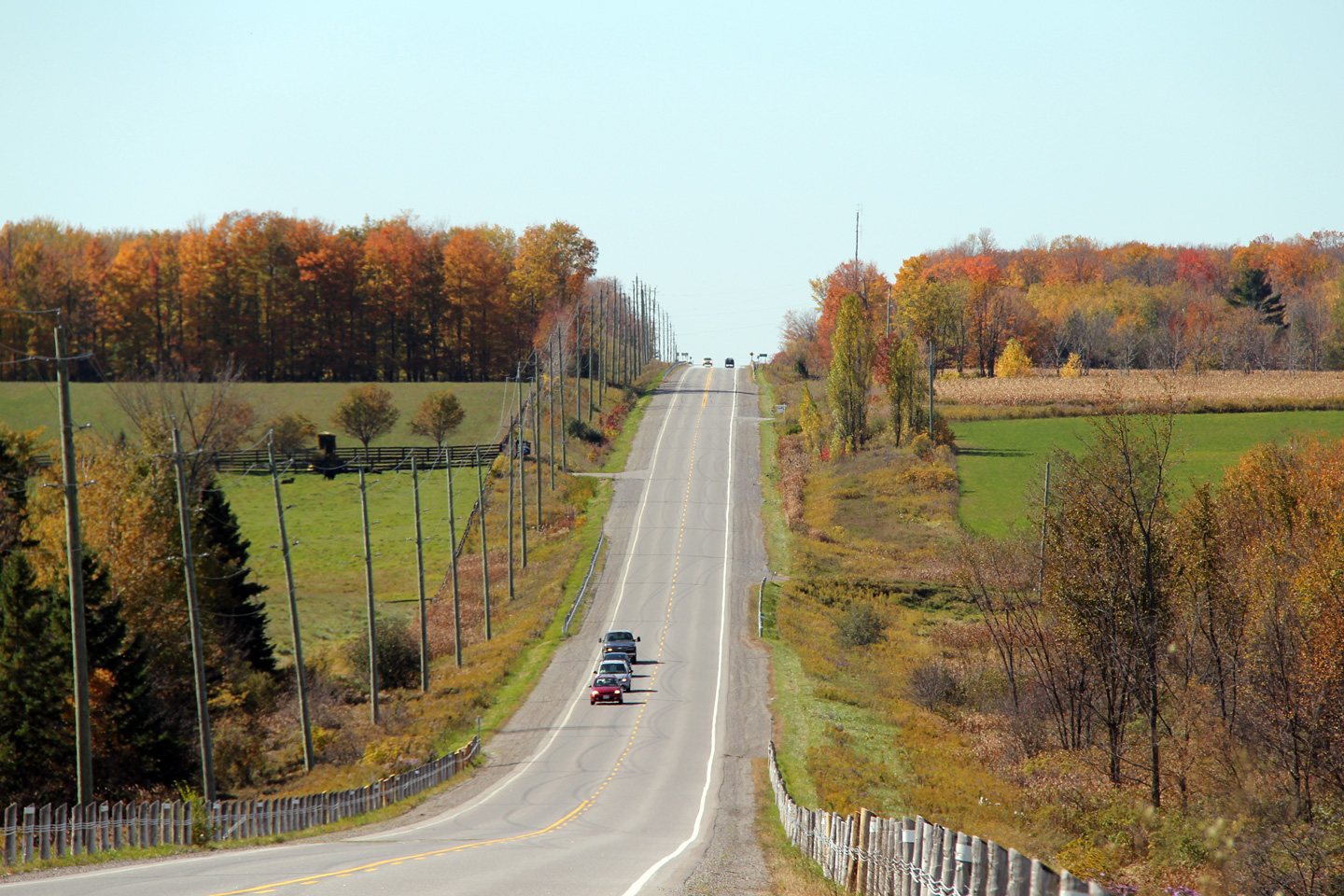
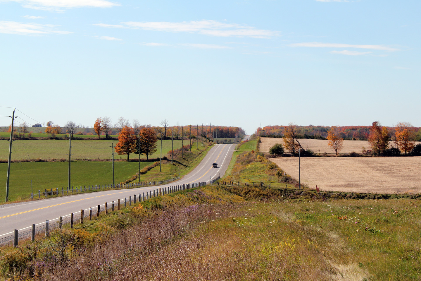
| Township of Scugog Regional Municipality of Durham |
Another westerly view along Highway 47. North Durham Region is a
particularly pretty part of Southern Ontario, especially during the Autumn. Photo taken: October 10th, 2010. |
 |
|
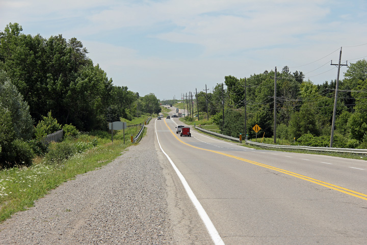
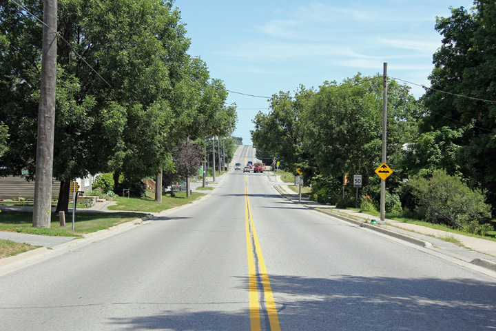
| Township of Scugog Regional Municipality of Durham |
Eastbound view as Highway 47 prepares to descend its final hill before
Highway 7/12. Photo taken: July 28th, 2012. |
 |
|
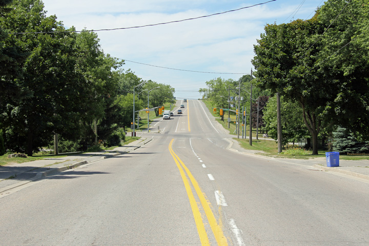
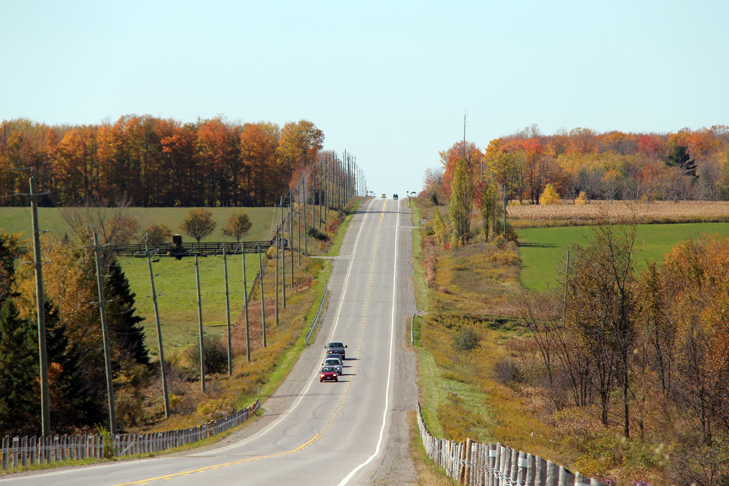
| Township of Scugog Regional Municipality of Durham |
View of the eastern end of Highway 47. Highway 47 ends at the bottom
of this long hill at Highway 7/12. Photo taken: October 10th, 2010. |
 |
|
| Highway 47 ends at Highway 7/12 south of Greenbank. Click here for Highway 12 images and here for Highway 7 images | |||
<- Highway 46 Images Back to Highway 47 Highway 48 Images ->
Copyright (c) 2004-2012, Scott Steeves (Webmaster) scott@asphaltplanet.ca
