AsphaltPlanet.ca > OntHighways >
Highway 17 > Images
> Page 3A
King's Highway 17 - Images
<- Page 2H Page 3A - Sault Ste Marie to Bruce Mines Page 3B ->
Photos shown in this table are arranged from North to South:
| Proper Municipality Name | Photo Description |
Photo |
|
|
Pictures taken from driver's perspective appear offset from centre-line pictures: |
East- Bound |
West- bound |
|
| Continued from Montreal River to Sault Ste. Marie | |||
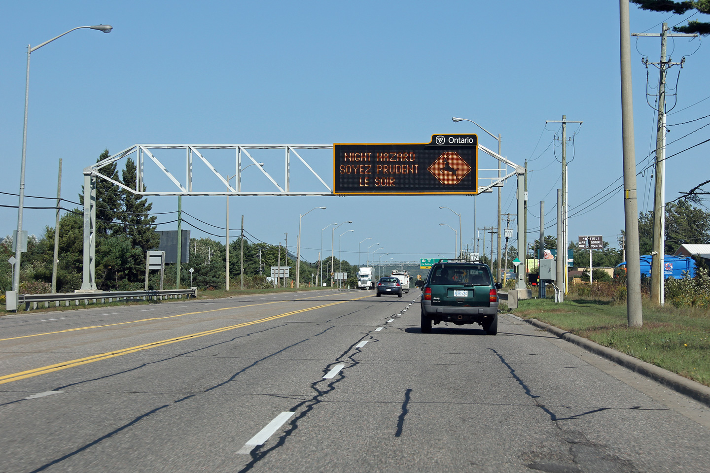
| City of Sault Ste. Marie District of Algoma |
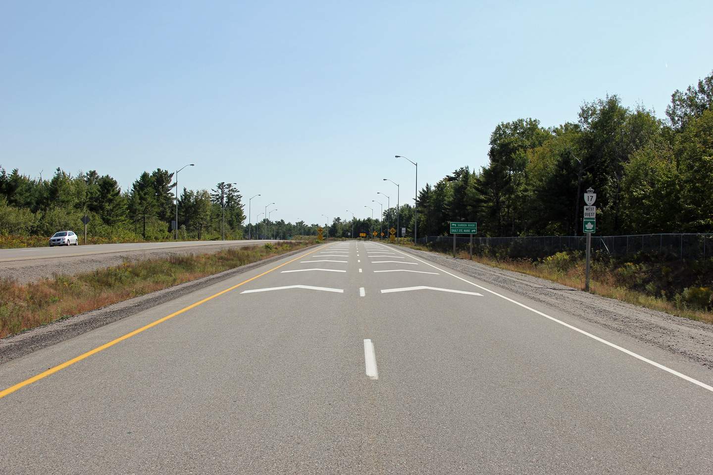
Overhead changeable message signage along Highway 17 approaching the Highway
17B intersection. Photo taken: September 11th, 2012. |
 (720x480) (720x480)(1440x960) (2400x1600) |
|
| City of Sault Ste. Marie District of Algoma |
Overhead signage advising through traffic to turn left to continue easterly
along Highway 17. Photo taken: September 11th, 2012. |
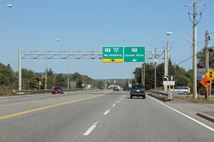 (720x480) (720x480)(1440x960) (2400x1600) |
|
| Highway 17B (Garden River) follow the pre-2007 alignment of Highway 17 through the Garden River First Nation. Click here for Highway 17B (Garden River) images. | |||
| City of Sault Ste. Marie District of Algoma |
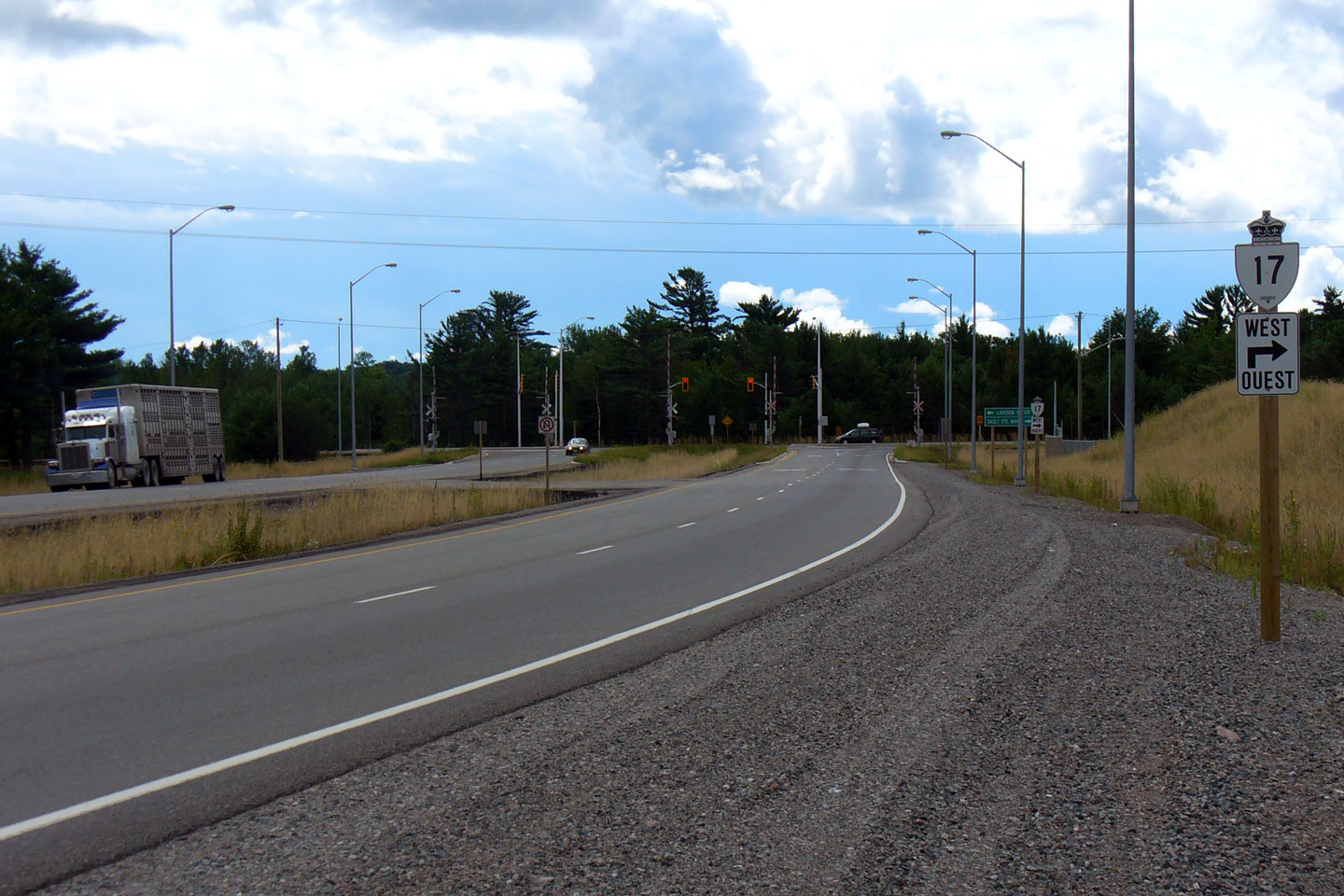
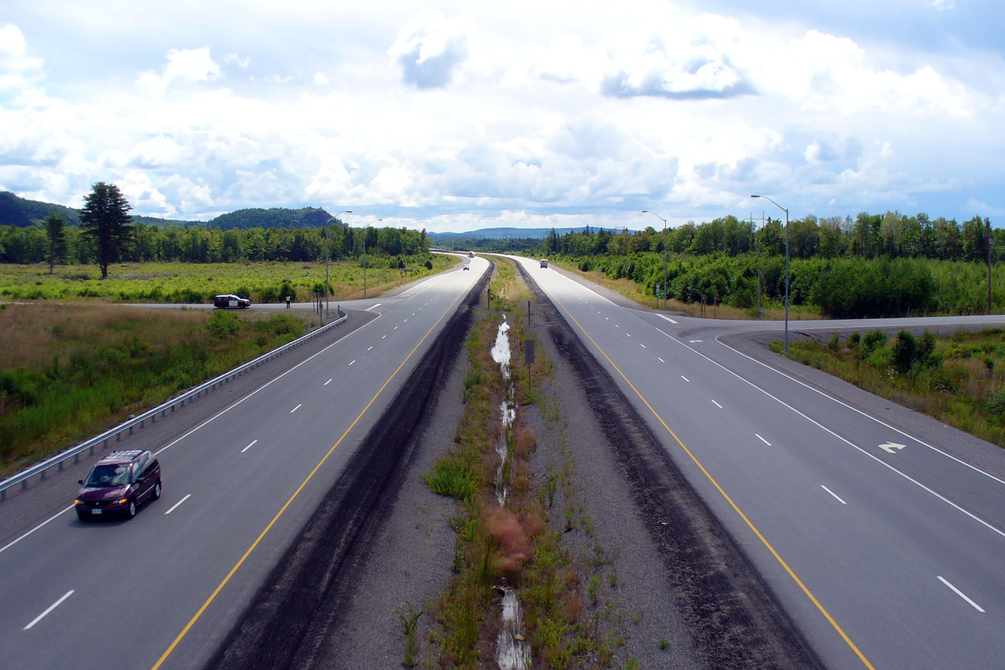
View looking westerly along Highway 17 approaching the Trunk Road
intersection. Click here for a 2008
view taken by Patrick Gaudreau. Photo taken: September 11th, 2012. |
 |
|
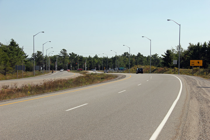
| City of Sault Ste. Marie District of Algoma |
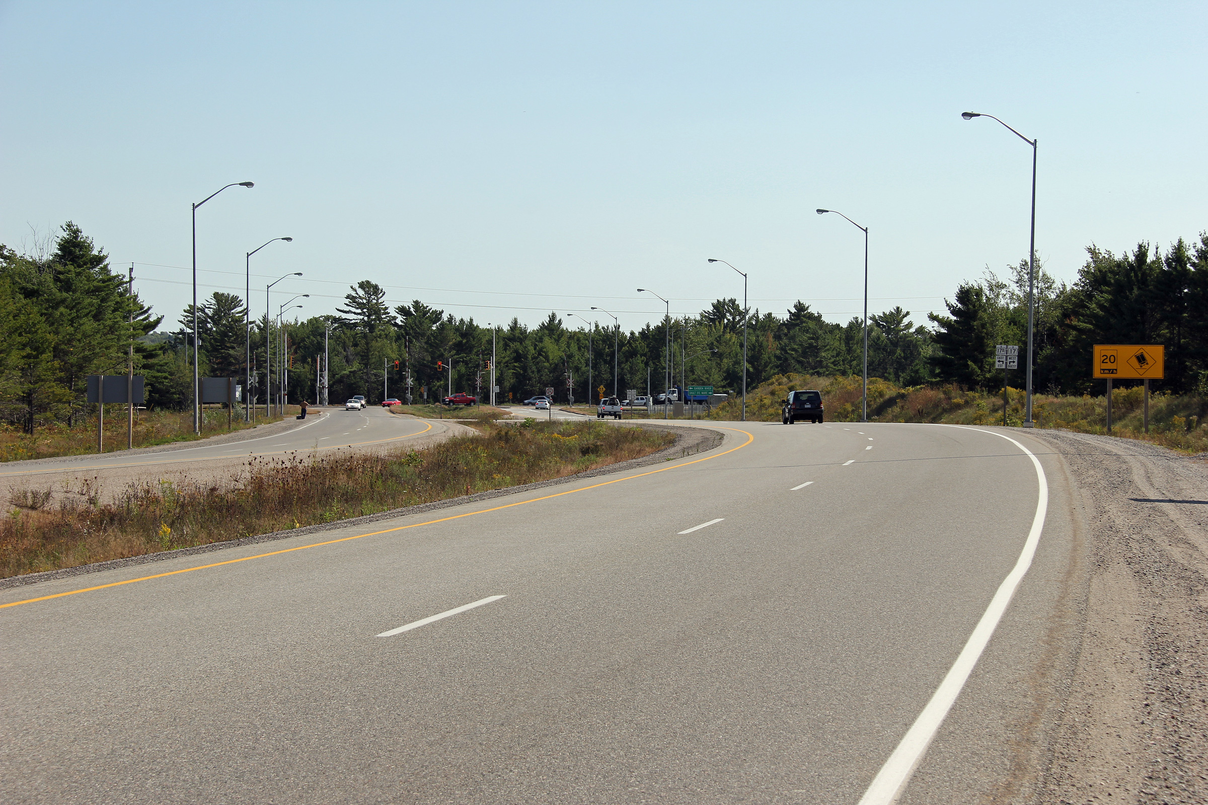
Westerly view approaching Sault Ste. Marie. The speed limit drops from
90km/h to 60km/ in advance of the Trunk Road intersection. Photo taken: September 11th, 2012. |
 (720x480) (720x480)(1440x960) (2400x1600) |
|
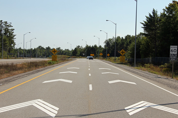
| City of Sault Ste. Marie District of Algoma |
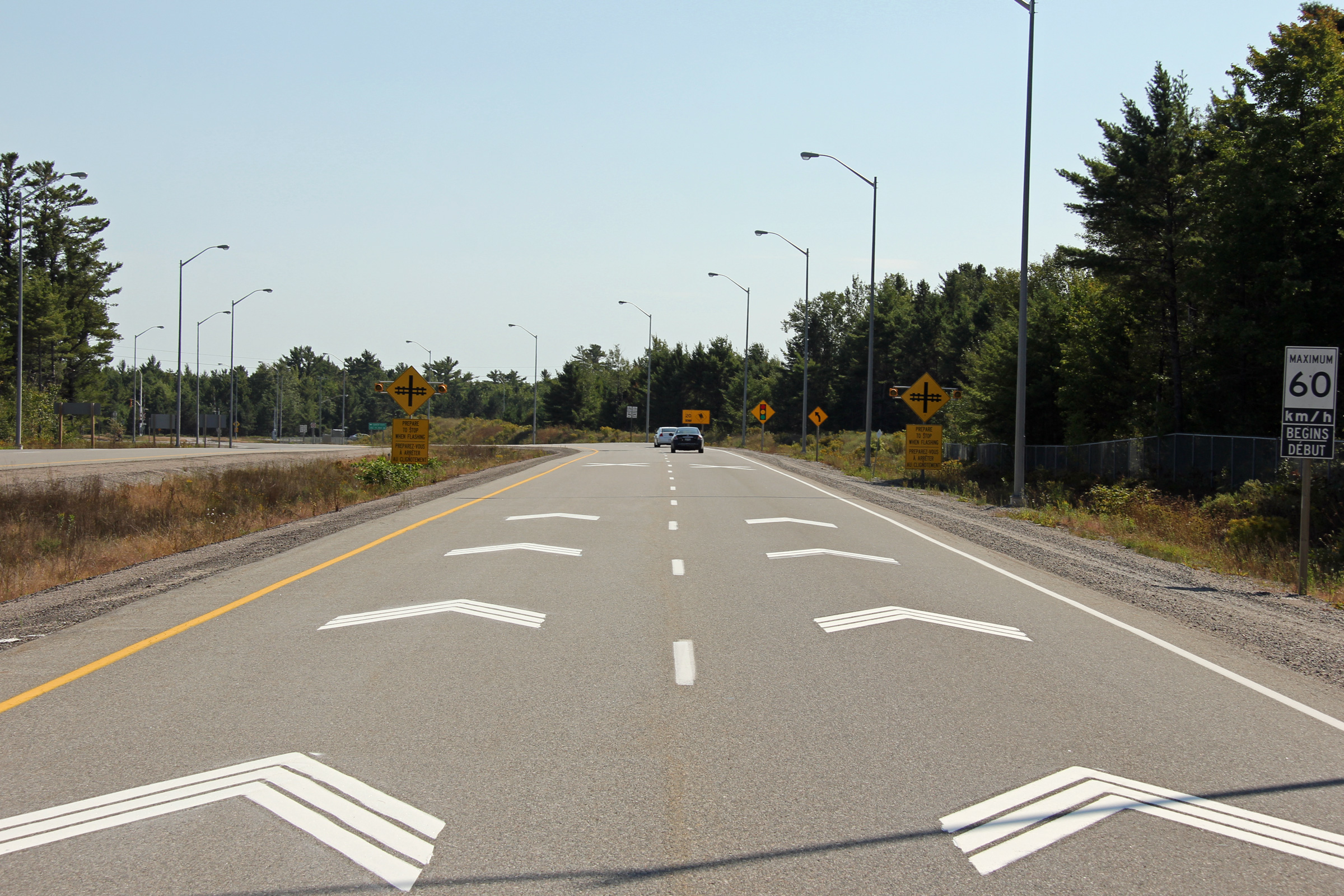
An additional westerly view approaching Sault Ste. Marie. Chevrons have
been painted on the westbound lanes of Highway 17 in an effort
to slow traffic before it enters the urban area. Photo taken: September 11th, 2012. |
 (720x480) (720x480)(1440x960) (2400x1600) |
|
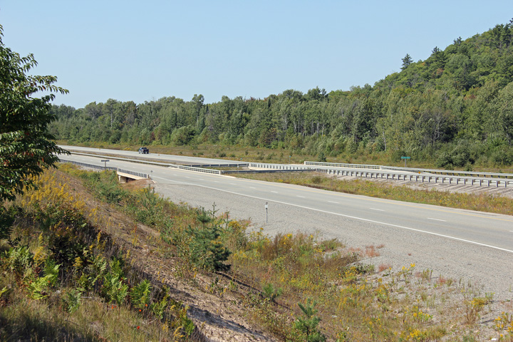
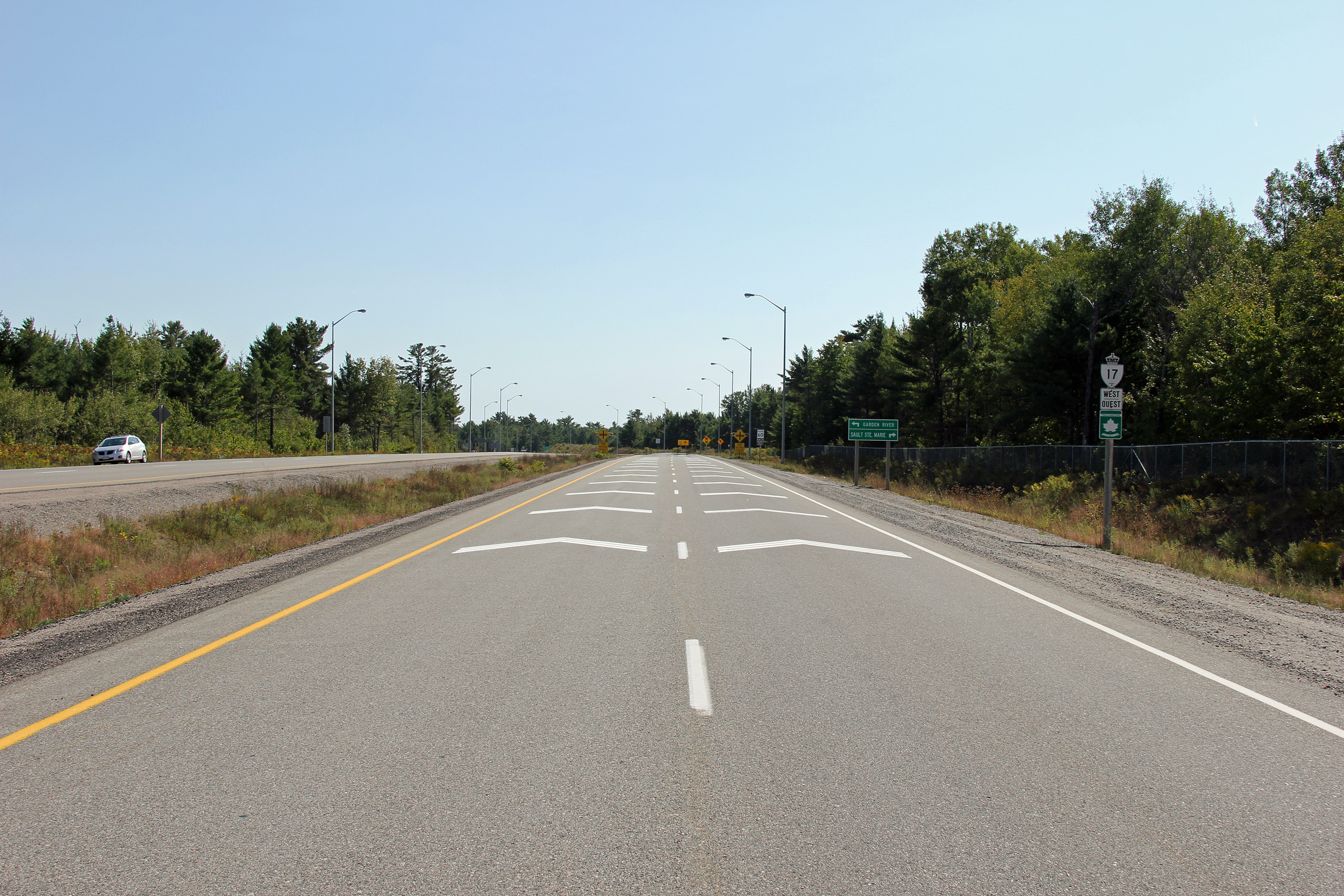
| Garden River IR # 14 District of Algoma |
View looking westerly towards the Belleau Creek bridge near the Sault Ste.
Marie city limits. Steel railings such as are pictured are common to
modern structures located in northern Ontario. Photo taken: September 11th, 2012. |
 (720x480) (1440x960) (2400x1600) |
|
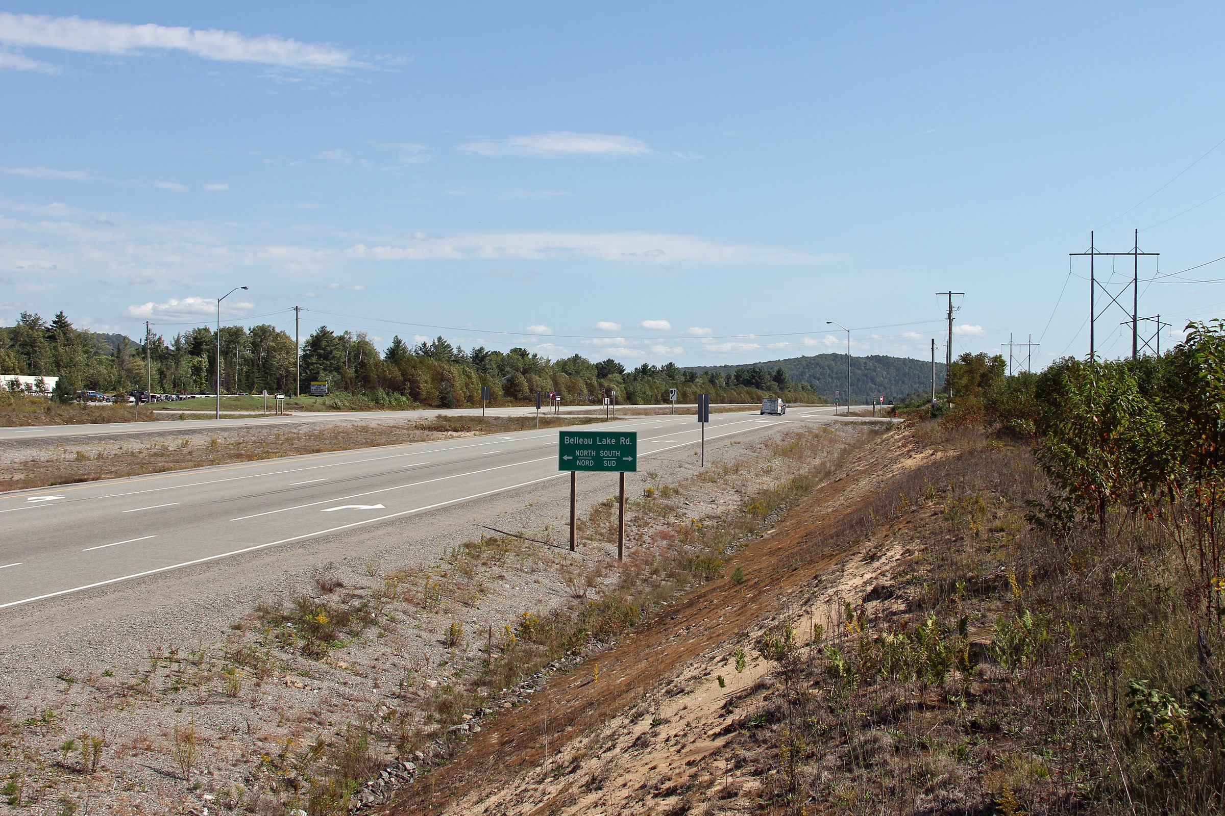
| Garden River IR # 14 District of Algoma |
Easterly view towards the Belleau Lake Road intersection. This is the
first at-grade intersection east of Sault Ste. Marie along Highway 17. Photo taken: September 11th, 2012. |
 (720x480) (1440x960) (2400x1600) |
|
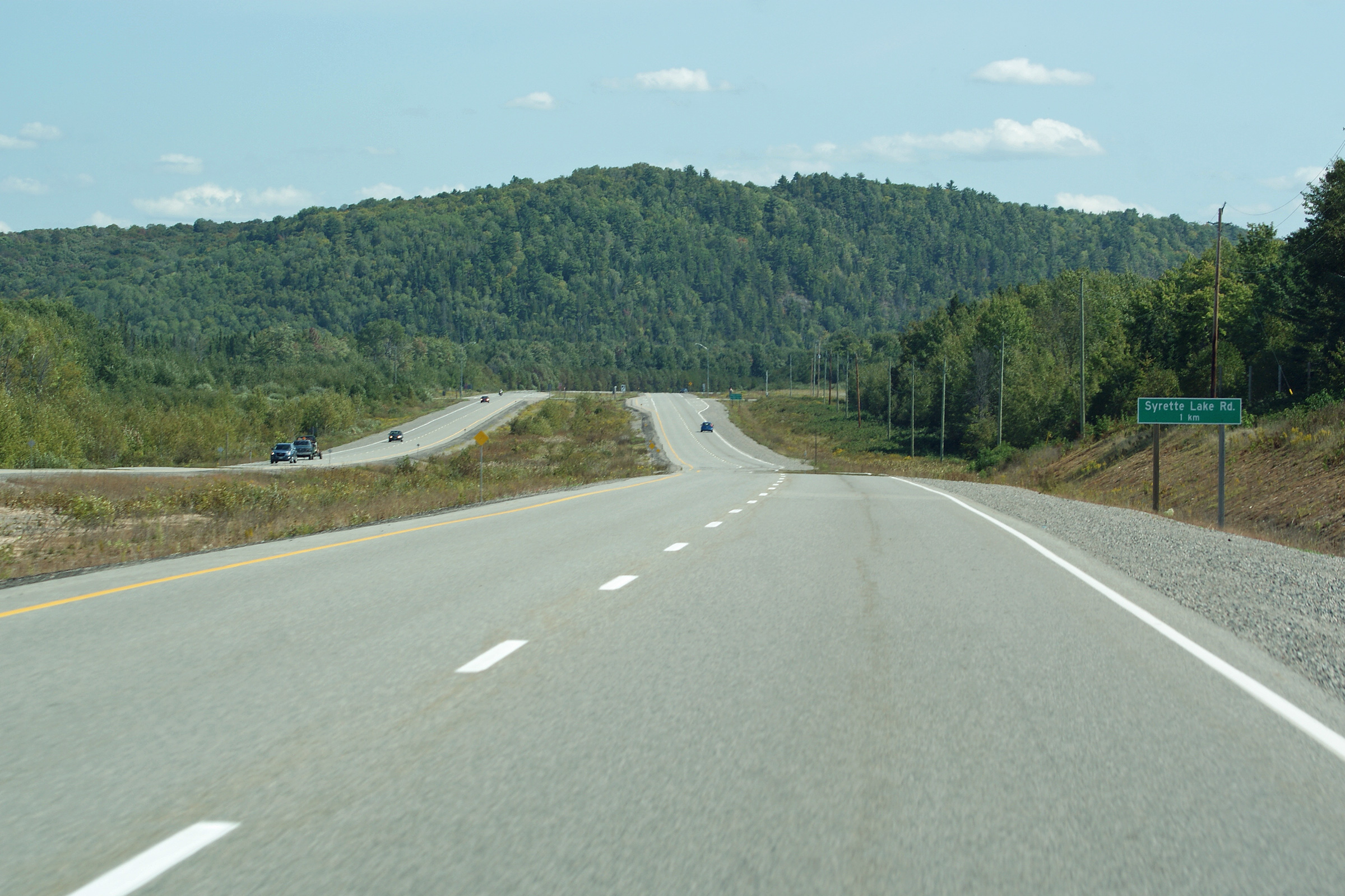
| Garden River IR # 14 District of Algoma |
Advanced signage for the Syrette Lake Road intersection. Similarly to
the at-grade sections of Highway 11 between North Bay and Gravenhurst, signs
are posted 1km in advance of at-grade intersections along the Garden River
by-pass. Photo taken: September 11th, 2012. |
 (720x480) (720x480)(1440x960) (2400x1600) |
|
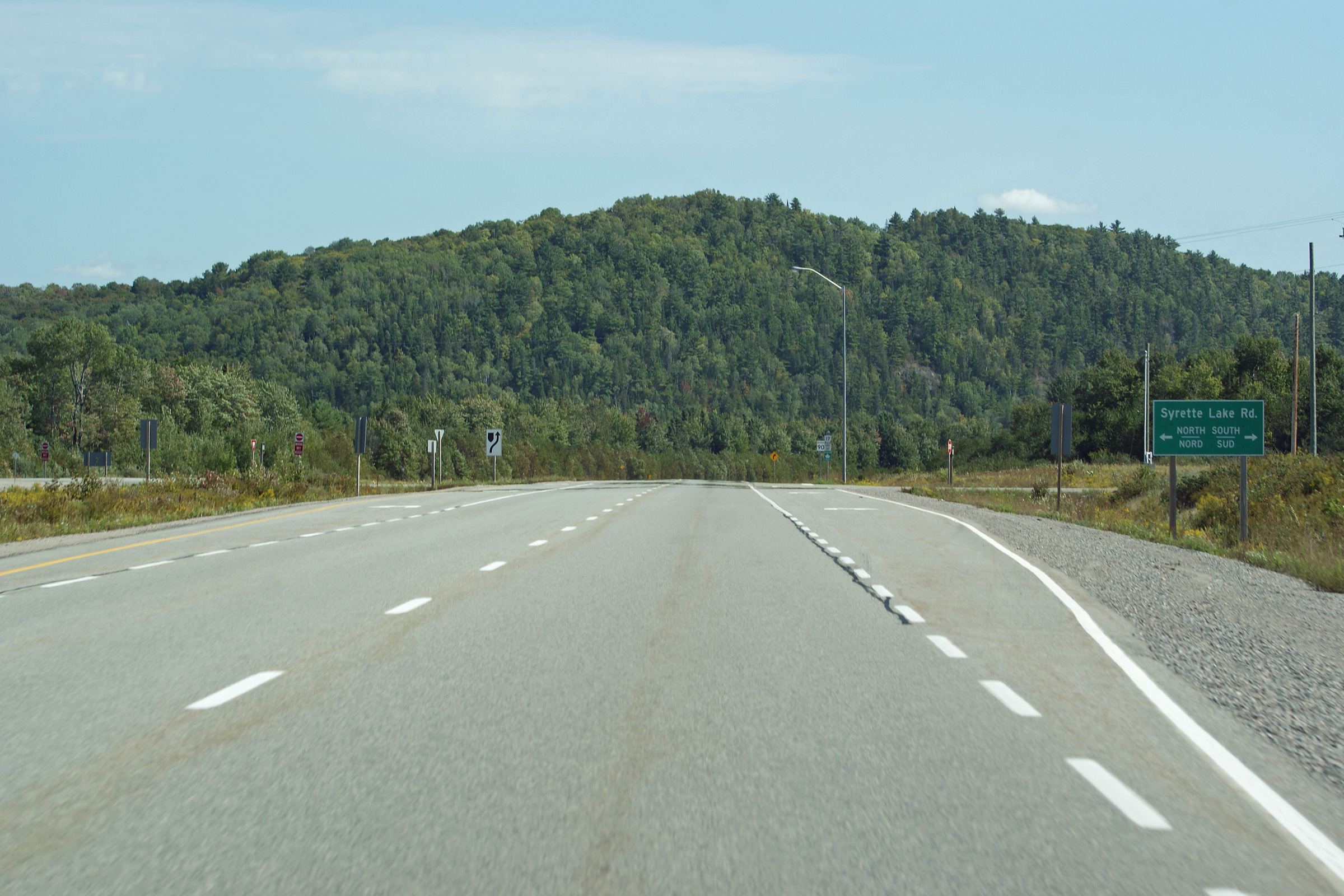
| Garden River IR # 14 District of Algoma |
Signage at the at-grade intersection with Syrette Lake Road. Photo taken: September 11th, 2012. |
 (720x480) (720x480)(1440x960) (2400x1600) |
|
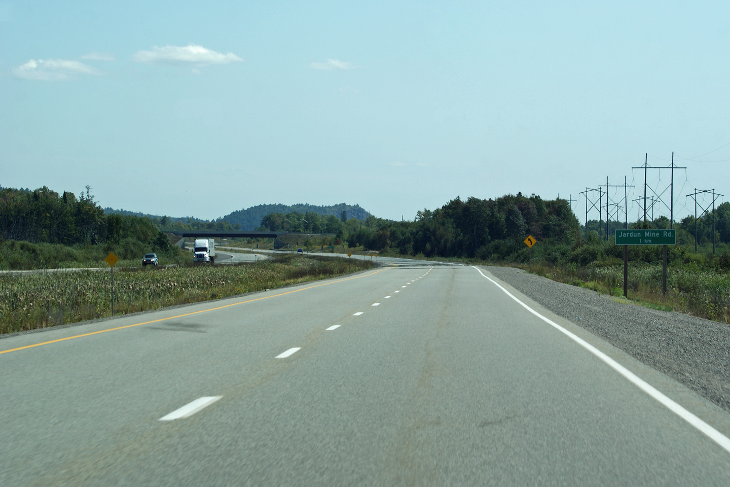
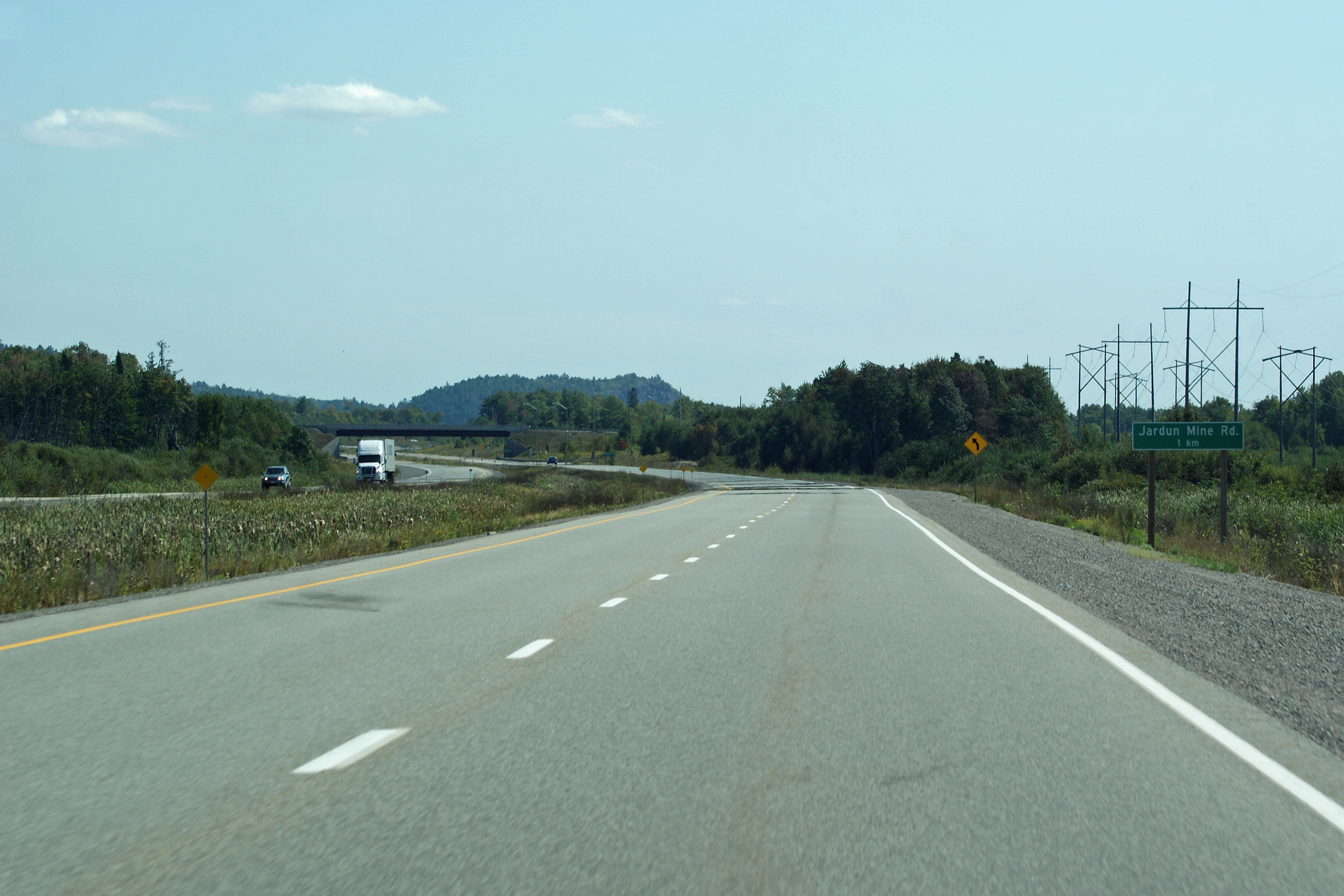
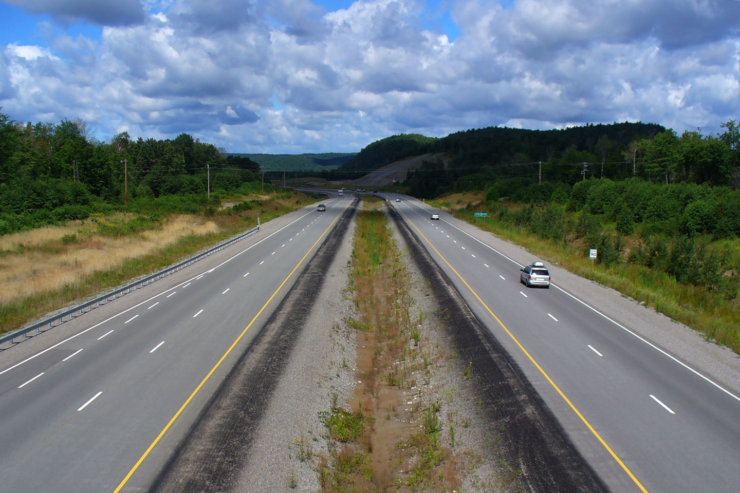
| Garden River IR # 14 District of Algoma |
Easterly view approaching the Jardin Mine Road intersection. Despite
having a grade separation, the Jardin Mine Road intersection is signed in
the same fashion as an at-grade intersection. Photo taken: September 11th, 2012. |
 (720x480) (720x480)(1440x960) (2400x1600) |
|
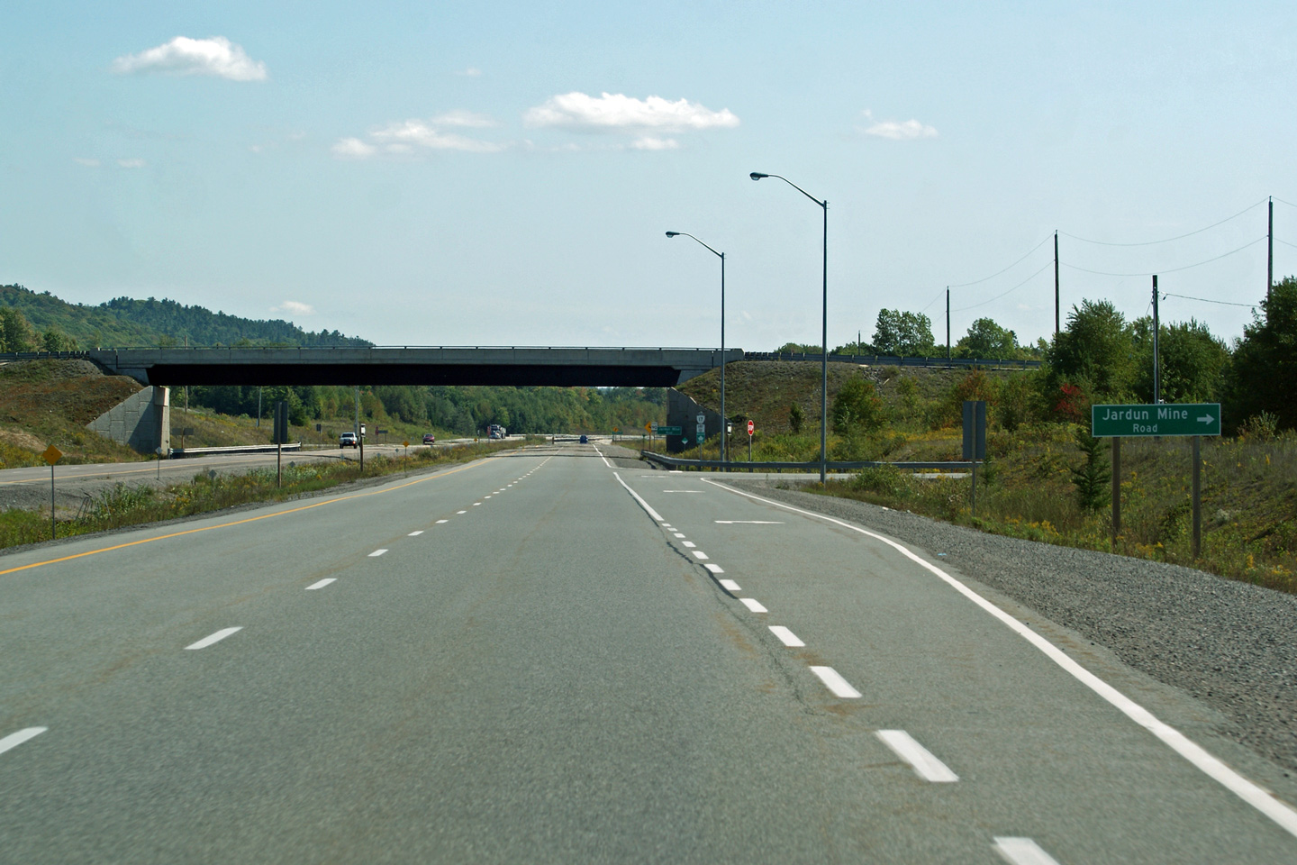
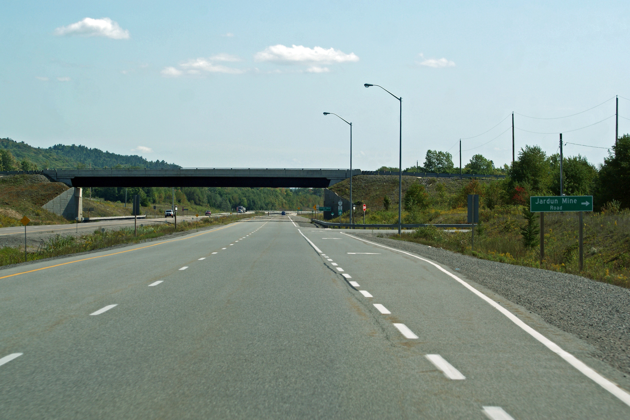
| Garden River IR # 14 District of Algoma |
Signage at the turn-off to Jardin Mine Road. Photo taken: September 11th, 2012. |
 (720x480) (720x480)(1440x960) (2400x1600) |
|
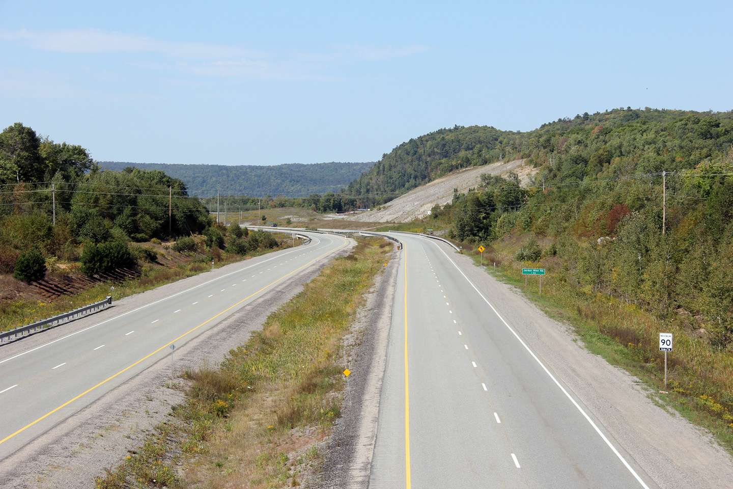
| Garden River IR # 14 District of Algoma |
View looking west from the first of two grade separations along the Garden
River By-pass. This is the Jardin Mine Road overpass. Click
here for a 2008 view taken by Patrick
Gaudreau. Photograph taken: September 11th, 2012. |
 (720x480) (1440x960) (2400x1600) |
|
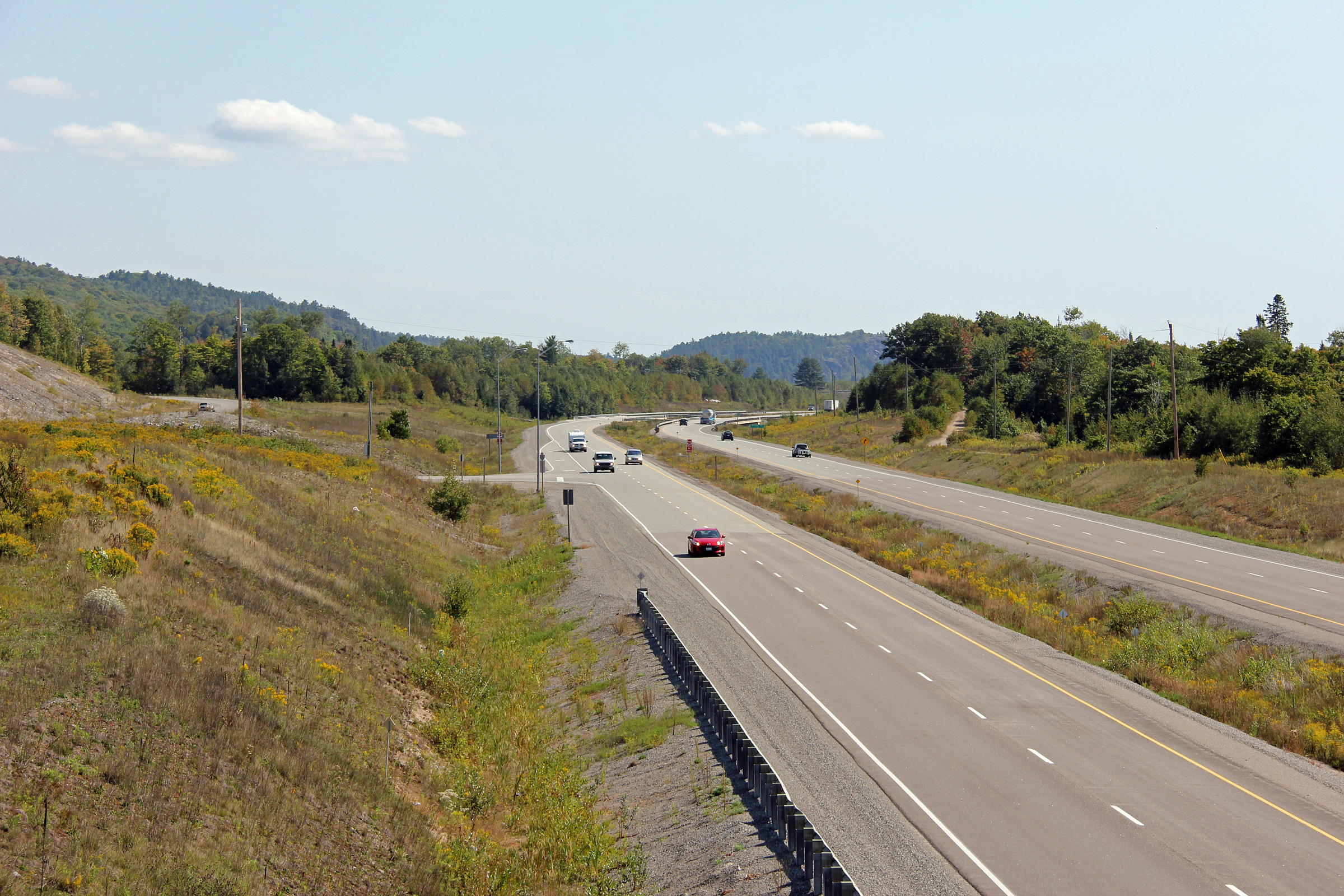
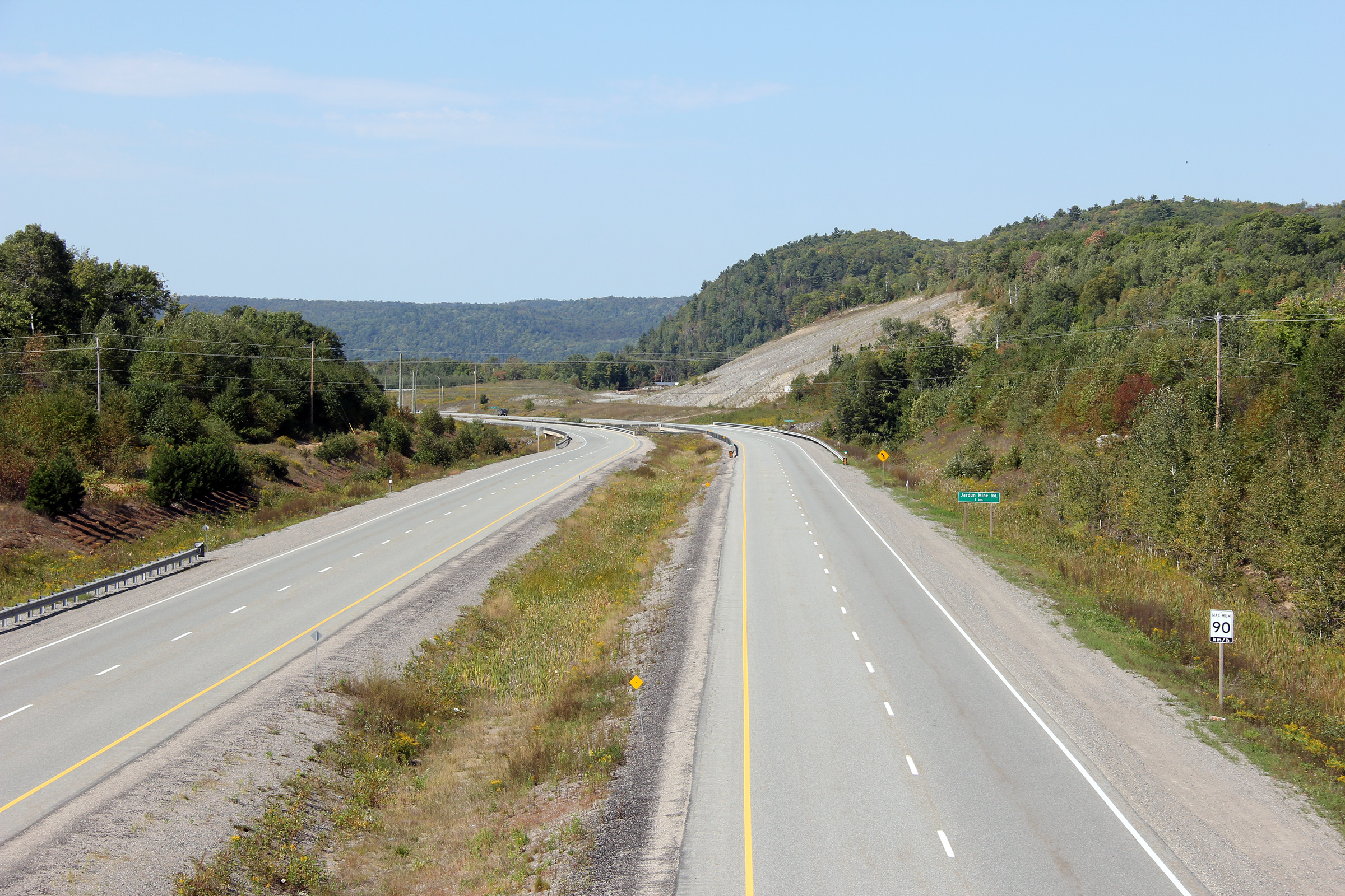
| Garden River IR # 14 District of Algoma |
Easterly view from the Jardin Mine Road overpass. Click
here for a 2008 view taken by Patrick
Gaudreau. Photograph taken: September 11th, 2012. |
 (720x480) (1440x960) (2400x1600) |
|
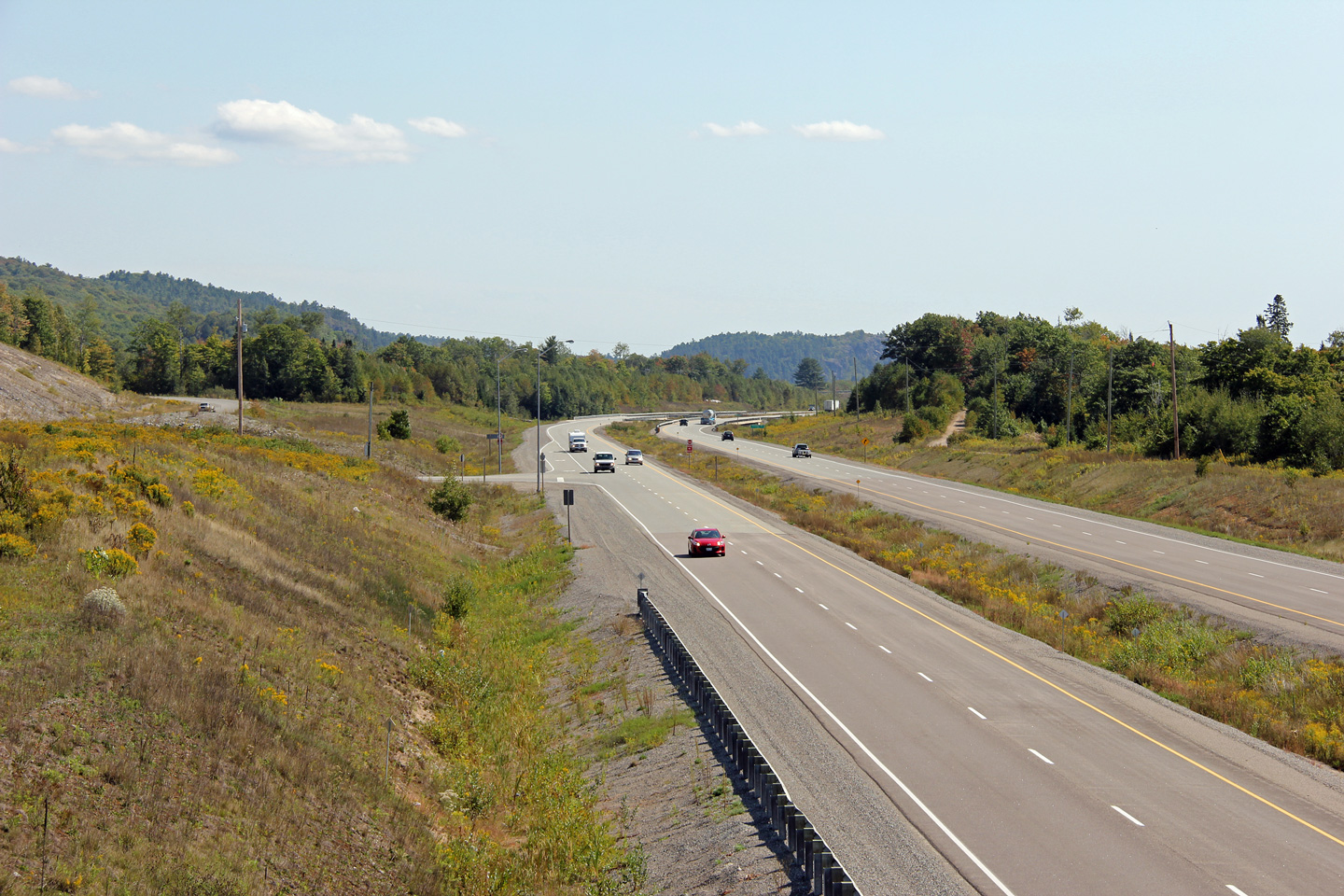
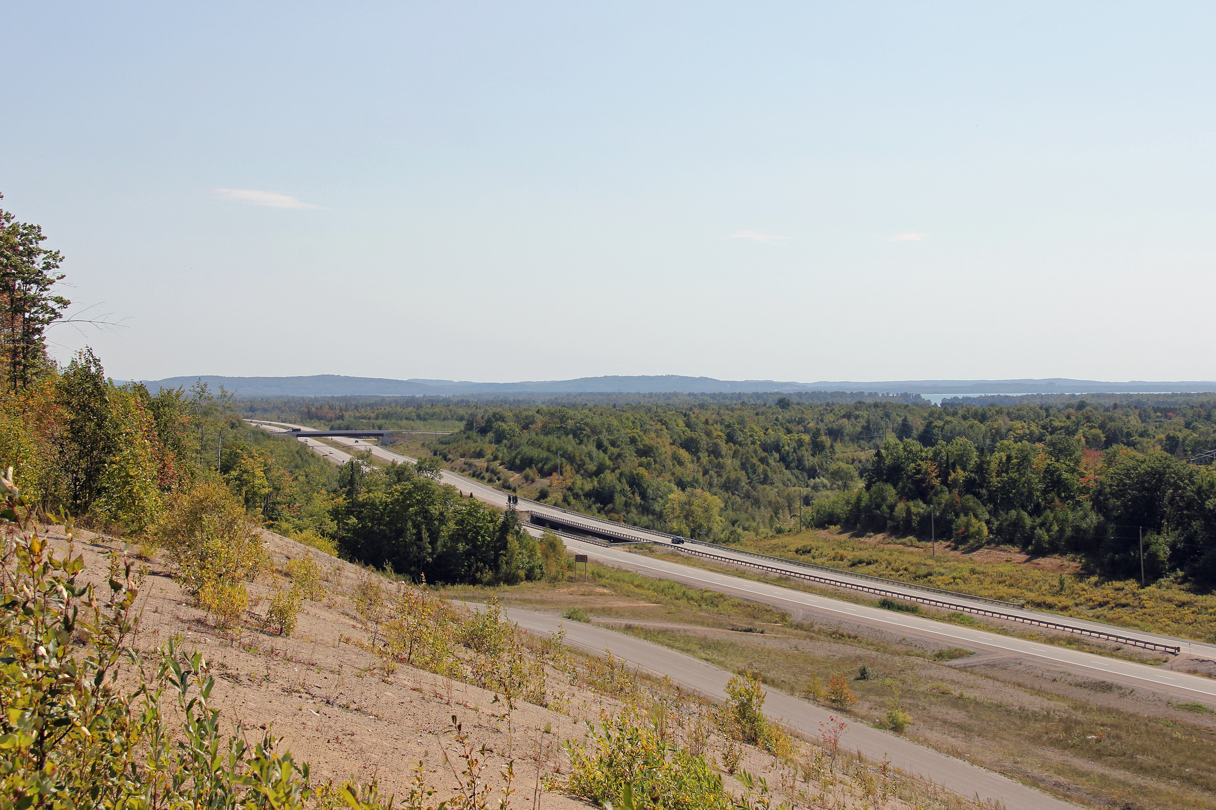
| Garden River IR # 14 District of Algoma |
View looking westerly towards the Jardin Mine Road intersection and grade
separation. Little Lake George (part of the St. Mary's River) is
visible in this photo. Photo taken: September 11th, 2012. |
 |
|
| Garden River IR # 14 District of Algoma |
Easterly view towards the Noon Day Road intersection. Photo taken: September 11th, 2012. |
 |
|
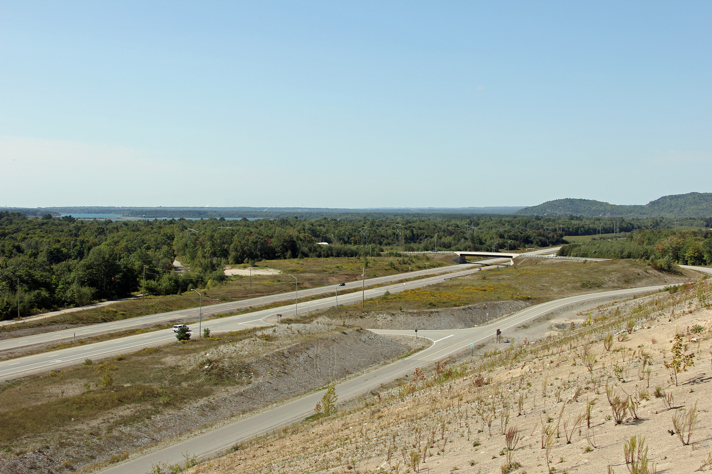
| Garden River IR # 14 District of Algoma |
Westerly view from the second of two grade separations -- the Noon Day Road
overpass. Click here for a 2008
view taken by Patrick Gaudreau. Photo taken: September 11th, 2012. |
 |
|
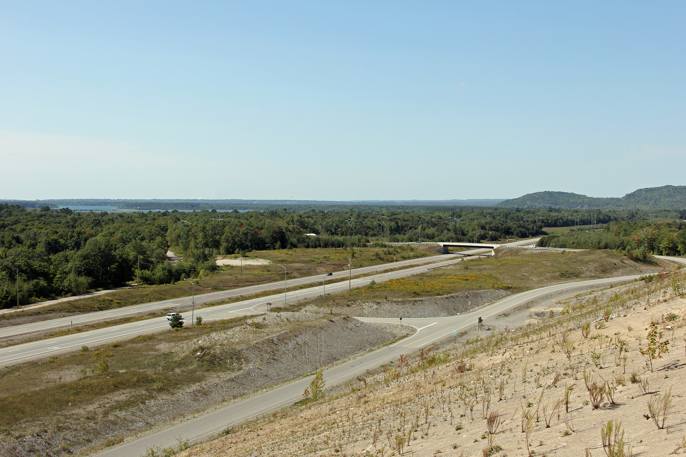
| Garden River IR # 14 District of Algoma |
Easterly view from the Noon Day Rod overpass. Noon Day Road serves a
large gravel pit to the north of the highway, and is therefore quite well
traveled. Click here for a 2008
view taken by Patrick Gaudreau. Photo taken: September 11th, 2012. |
 (720x480) (1440x960) (2400x1600) |
|
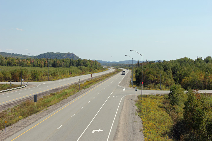
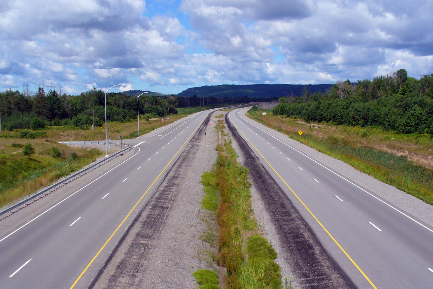
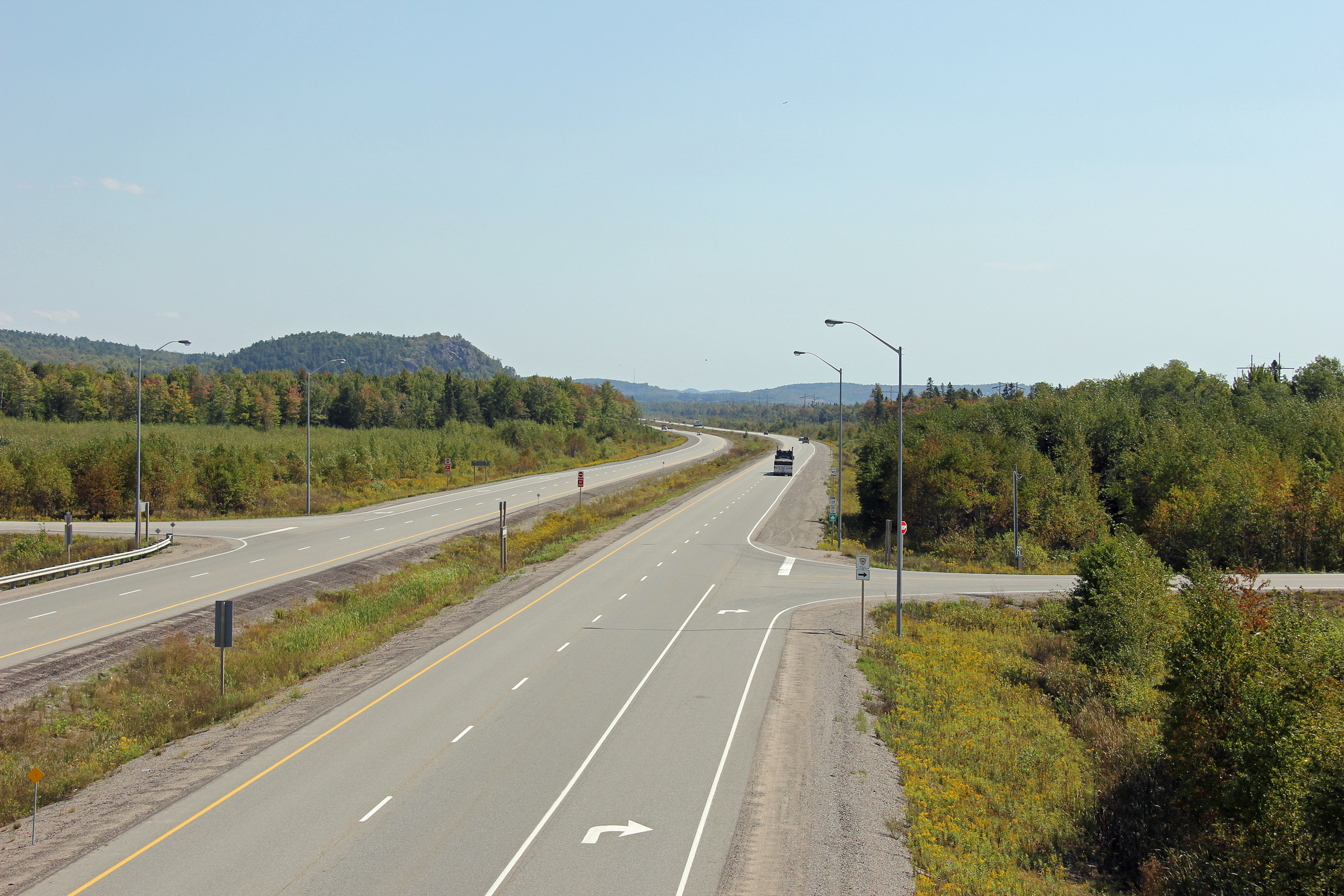
| Township of Macdonald, Meredith
and Aberdeen Additional District of Algoma |
This view looks westerly along the Garden River diversion of Highway 17 from
about 2km west of the Highway 638 intersection. Photo taken: September 11th, 2012. |
 |
|
| Highway 638 forms an inland loop of Highway 17 through Leeburn and Rydal Bank. Click here for Highway 638 images. | |||
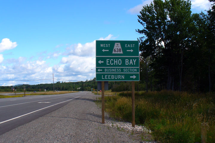
| Township of Macdonald, Meredith
and Aberdeen Additional District of Algoma |
Green sign for the Highway 638 at-grade intersection. The Garden River
community had wanted the former alignment of Highway 17 to be designated as
Highway 17B. Photograph courtesy: Patrick Gaudreau |
 |
|
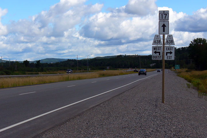
| Township of Macdonald, Meredith
and Aberdeen Additional District of Algoma |
Junction assembly for Highway 638. Photograph courtesy: Patrick Gaudreau |
 (720x480) (720x480)(1440x960) |
|
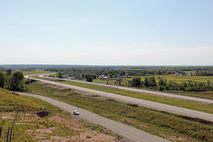
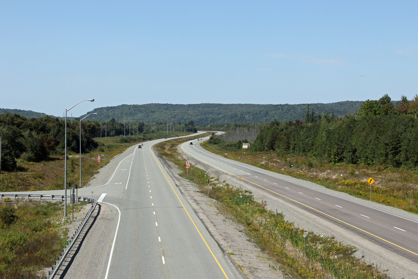
| Township of Macdonald, Meredith
and Aberdeen Additional District of Algoma |
Westerly looking view of Highway 17 towards the Watson Road intersection. Photo taken: September 11th, 2012. |
 |
|
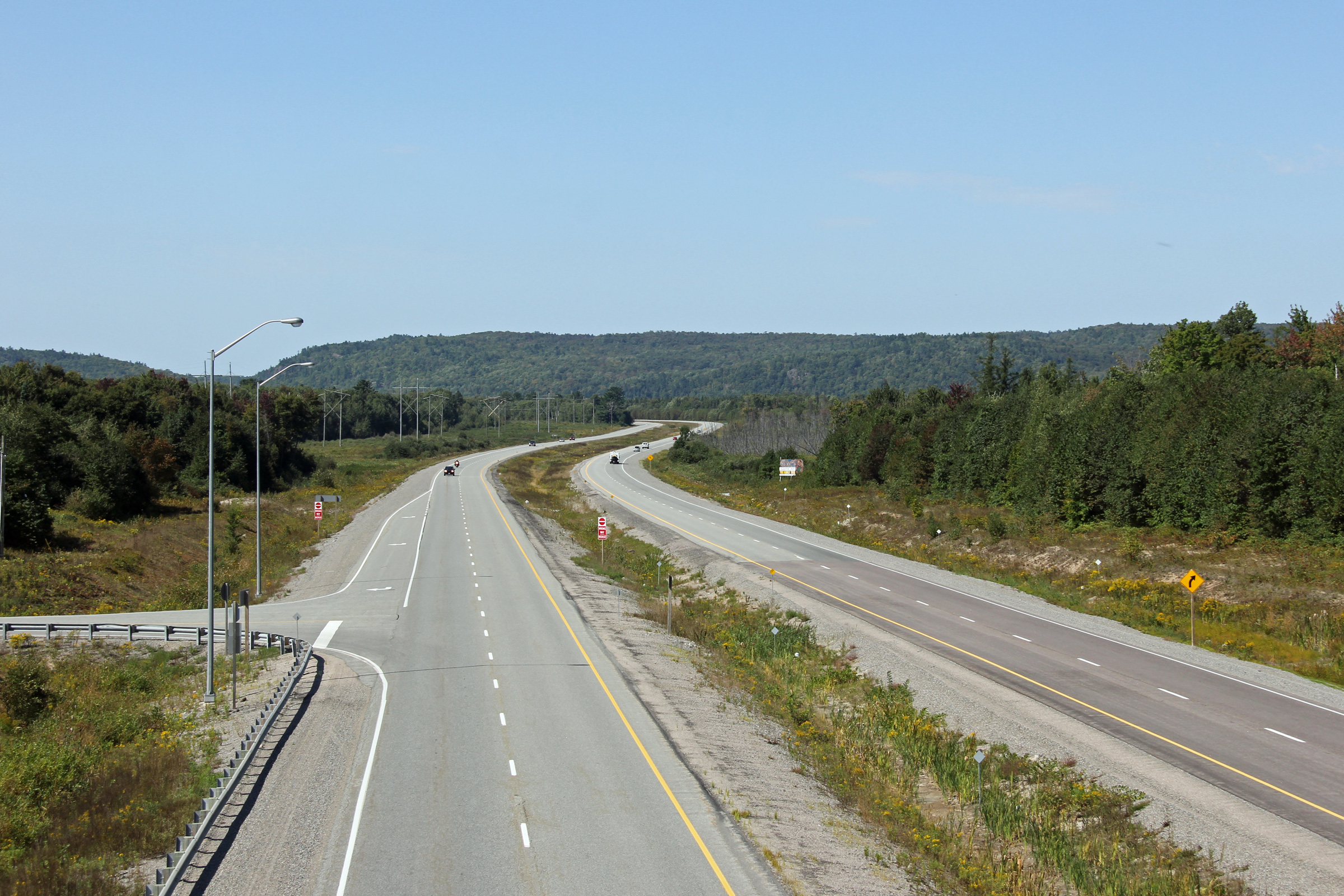
| Township of Macdonald, Meredith
and Aberdeen Additional District of Algoma |
Westerly view from the same vantage point as above. Highway 17 passes
overtop of the Huron Central Railway in this photo. Highway 17
parallels the Huron Central Railway between Sault Ste. Marie and Sudbury. Photo taken: September 11th, 2012. |
 |
|
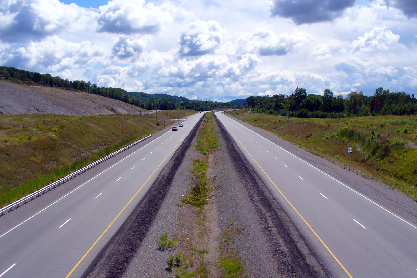
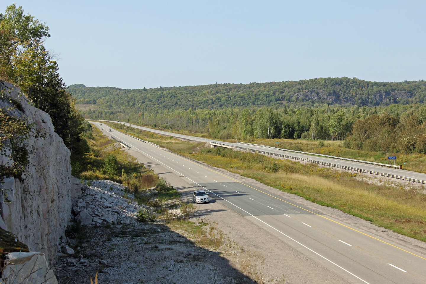
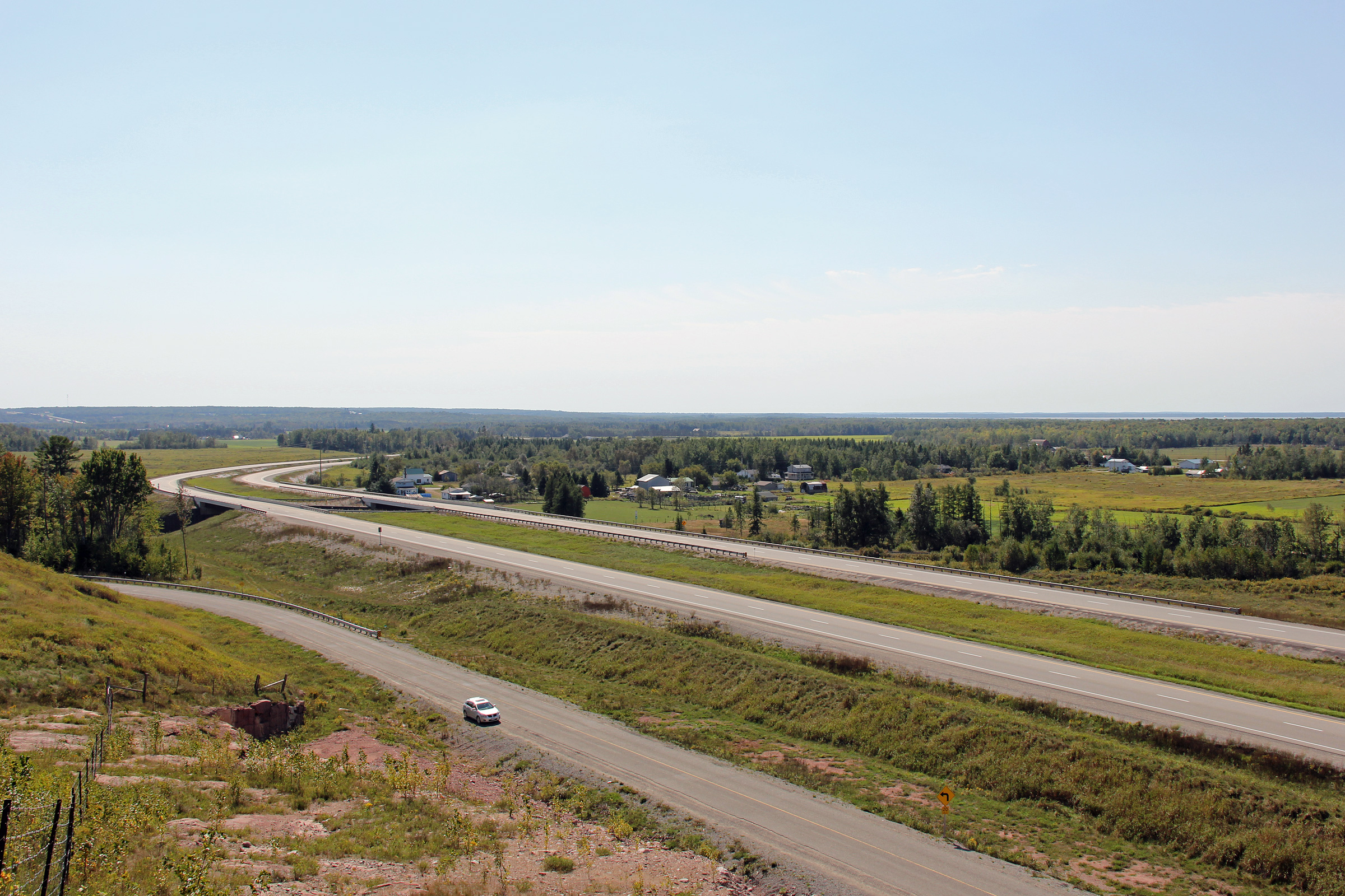
| Township of Laird District of Algoma |
View looking easterly along Highway 17 from the Reid's Road intersection. Photo taken: September 10th, 2012. |
 |
|
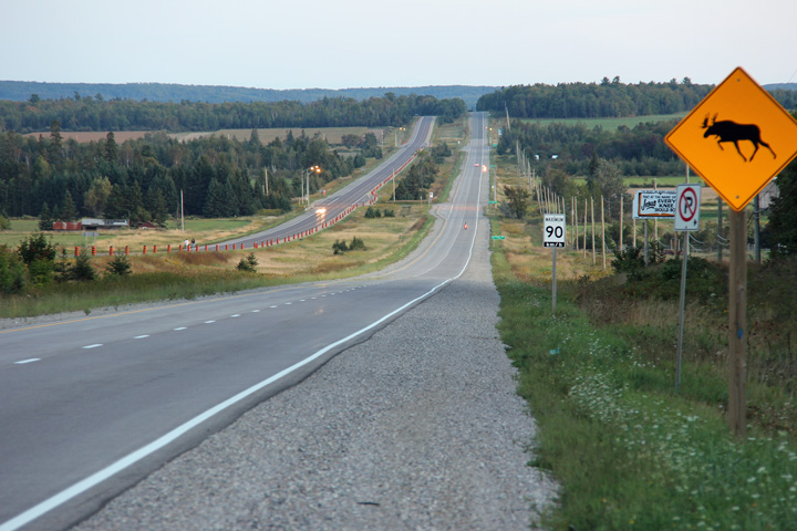
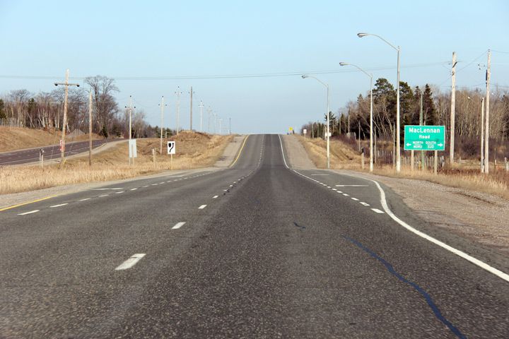
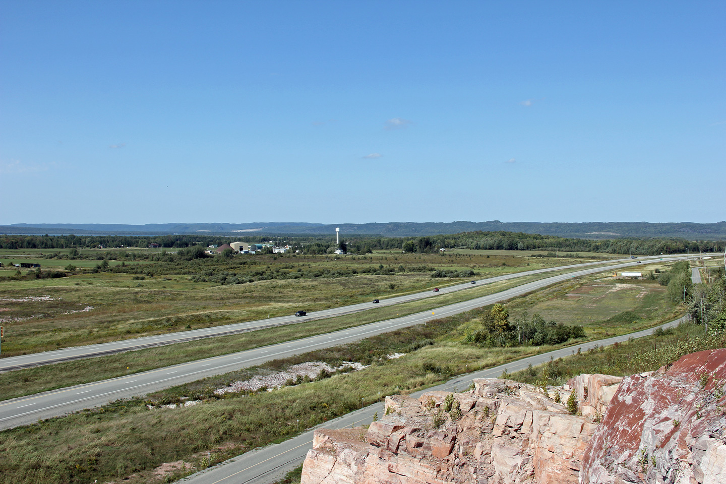
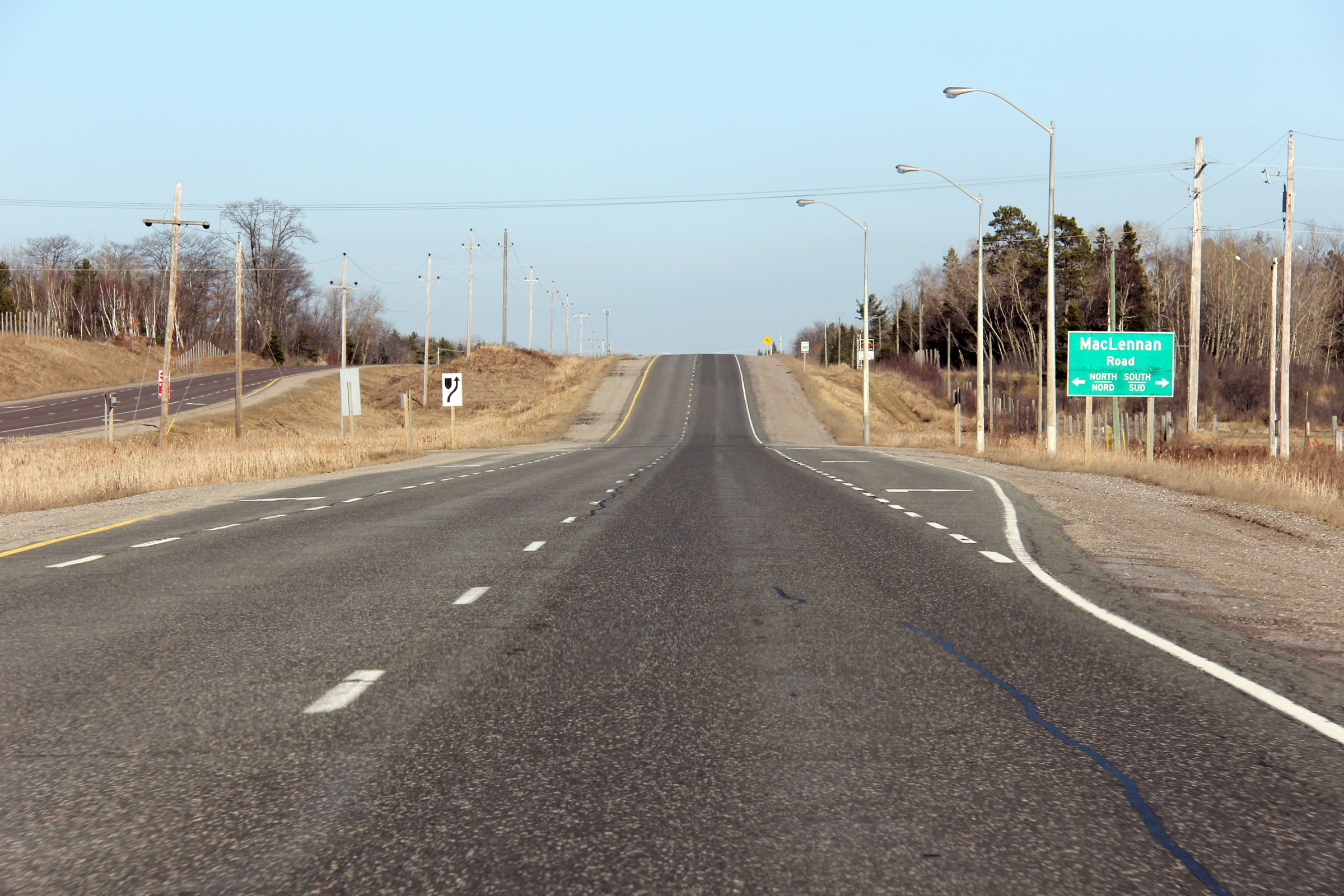
| Township of Tarbutt & Tarbutt
Additional District of Algoma |
Easterly view at MacLennan Road. Photo taken: April 3rd, 2012. |
 (720x480) (720x480)(1440x960) (2400x1600) |
|
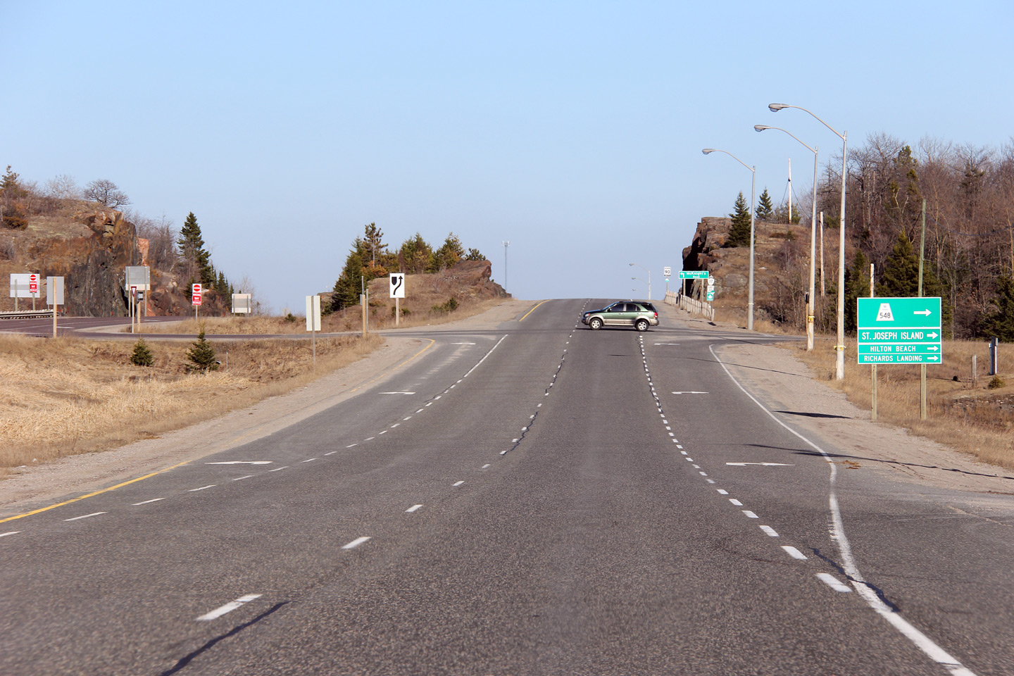
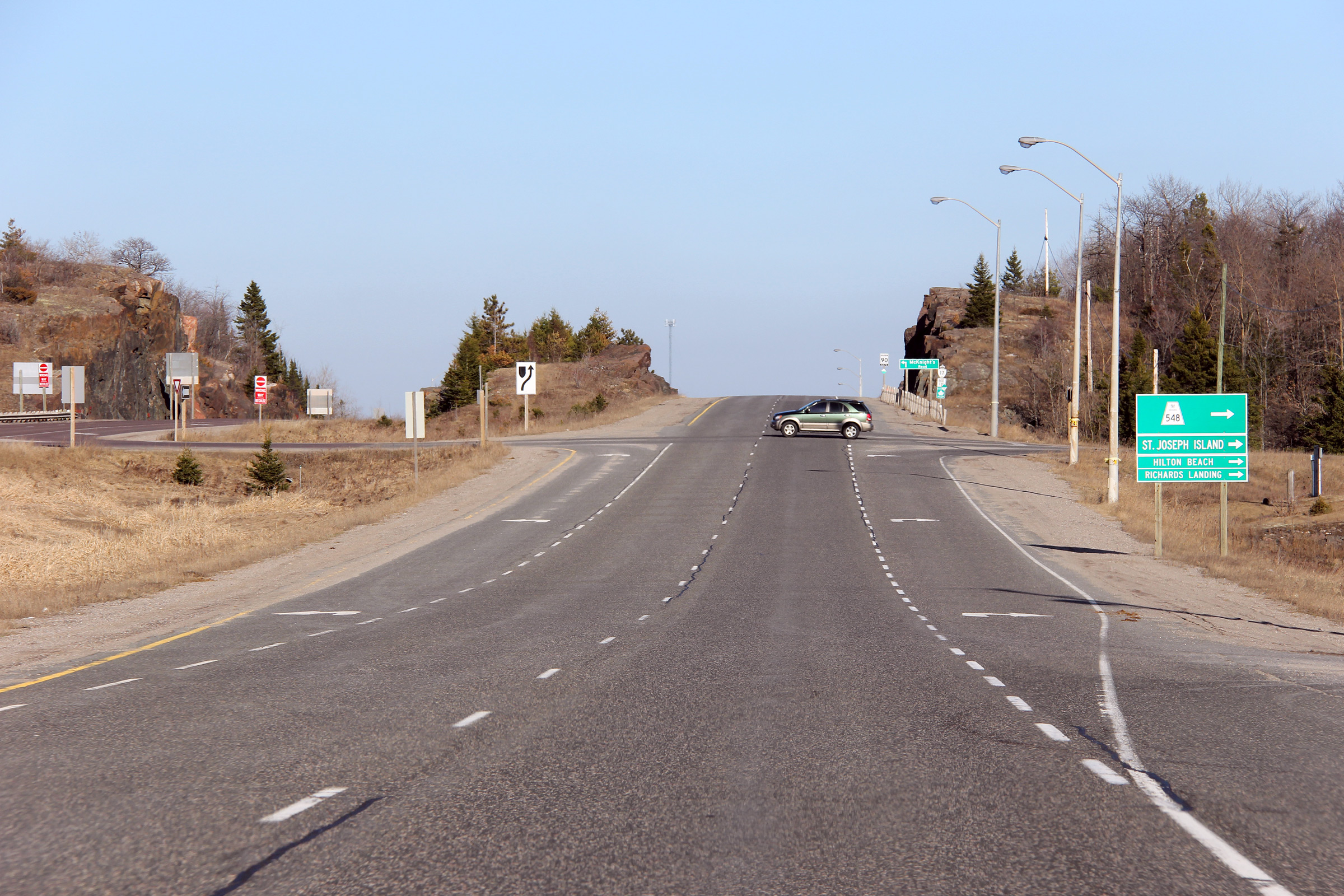
| Township of Tarbutt & Tarbutt
Additional District of Algoma |
View looking easterly approaching the Highway 548 intersection.
Highway 548 runs southerly from Highway 17 crossing onto St. Joseph Island
which the highway then runs circumferential around. Photo taken: April 3rd, 2012. |
 (720x480) (720x480)(1440x960) (2400x1600) |
|
| Highway 548 extends southerly from Highway 17 bound for St. Joseph Island. Click here for Highway 548 images. | |||
| Continues on Bruce Mines to Iron Bridge Images | |||
<- Page 2H Images Highway 17 Images Index Page 3B Images ->
<- Highway 16 Images Back to Highway 17 - Page 3 Highway 17A Images ->
Copyright (c) 2004-2016, Scott Steeves (Webmaster) scott@asphaltplanet.ca