|
Proper Municipality Name |
Photo Description |
Photo |
|
Photos taken
from driver's perspective appear offset from centre-line Photos: |
South-
Bound |
North-
bound |
|
Continued from
White River to Wawa
Images |
| Township of Michipicoten
District of Thunder Bay |
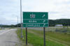
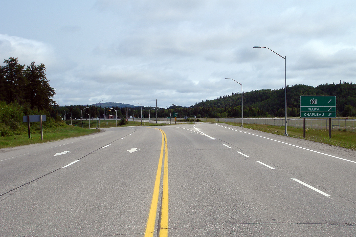
Green junction signage for the ramp to Highway 101 in Wawa. Unlike
most signs along two lane highways in Ontario, the signs at Highway 101 in
Wawa are aluminum extruded signs as opposed to wooden signs.
Photo taken: July 2nd, 2006. |
 |
| Township of Michipicoten
District of Thunder Bay |
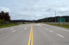
View looking northerly towards the Highway 101 junction in Wawa.
Photo taken: July 2nd, 2006. |
Low-res
High-res |
| Township of Michipicoten
District of Thunder Bay |
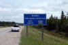
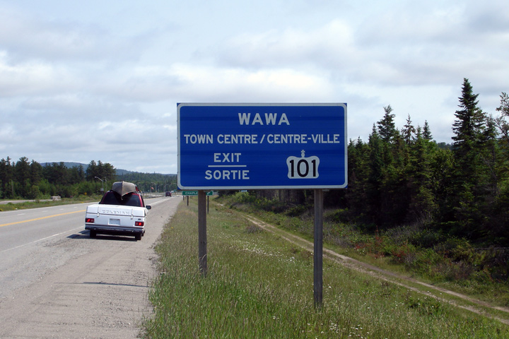
Blue signage for Downtown Wawa from Highway 17. Though Highway 17 is a
two lane highway it is almost signed as if it were a freeway through Wawa.
Photo taken: July 2nd, 2006. |
 |
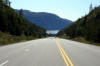
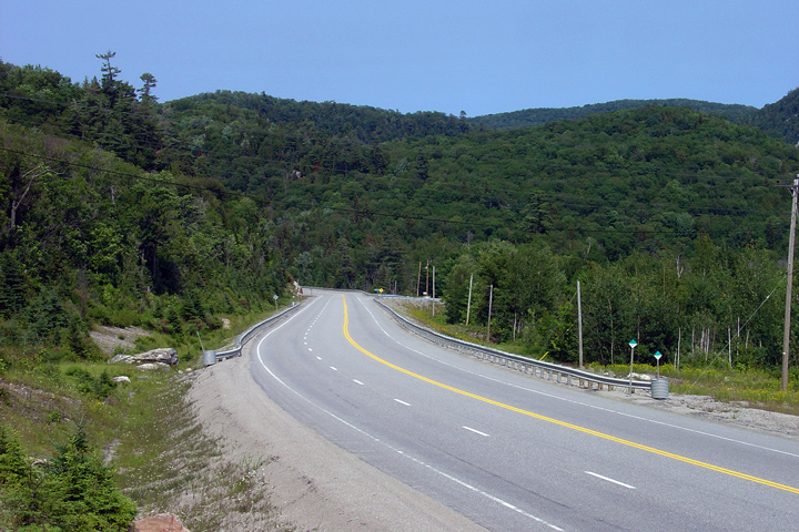
| District of Algoma |
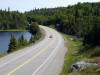
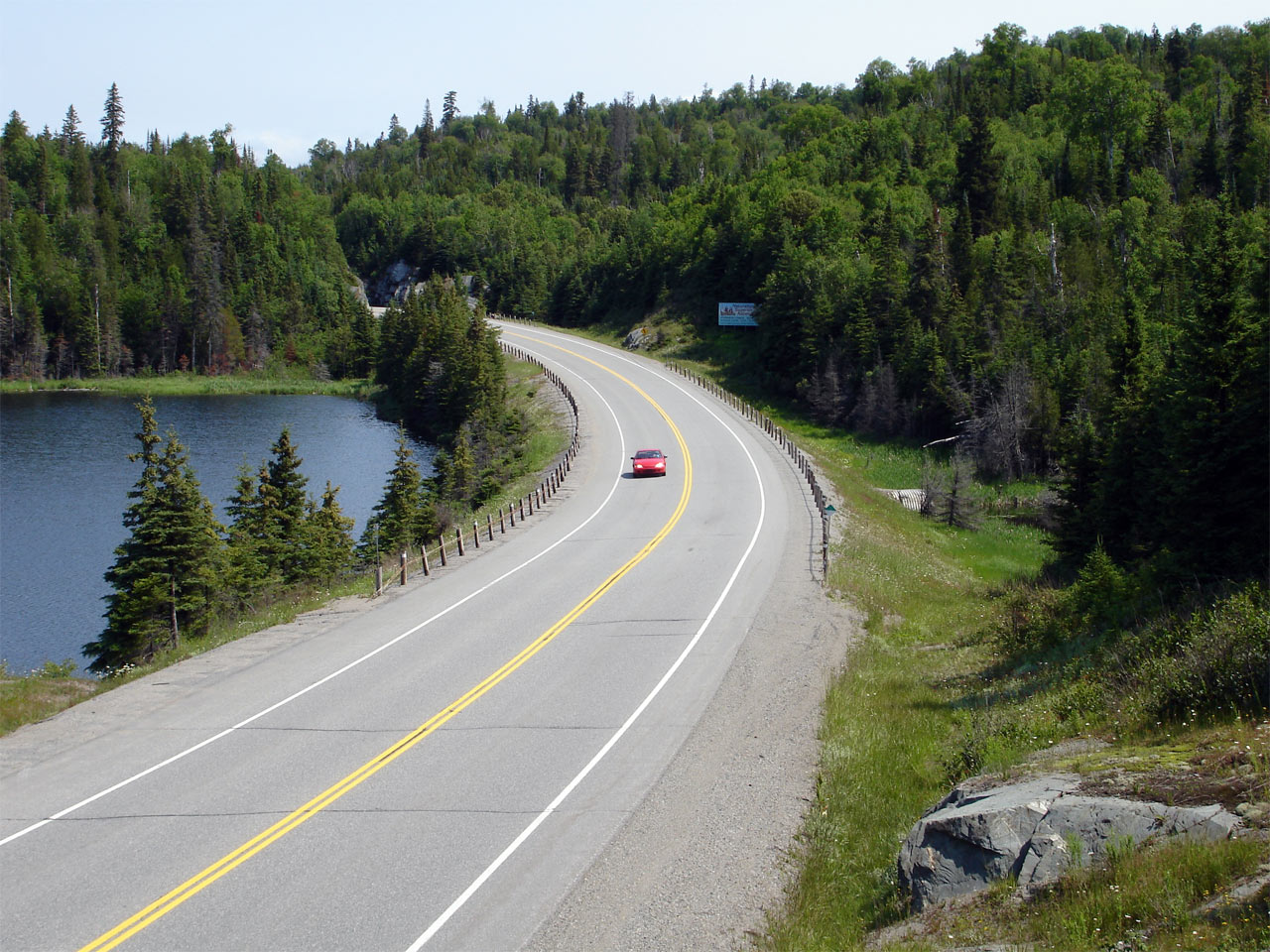
A picturesque lake dots the scenery along Highway 17 south of Wawa.
Photo taken: July 2nd, 2006. |
Low-res
High-res |
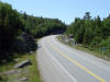
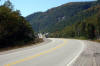
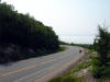
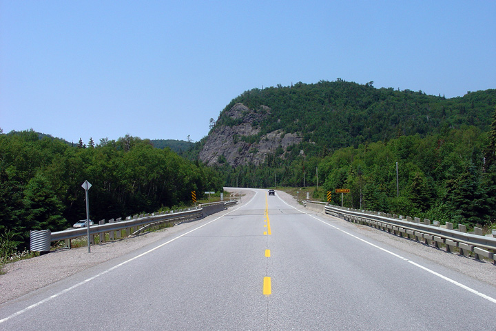
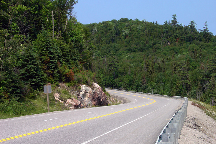
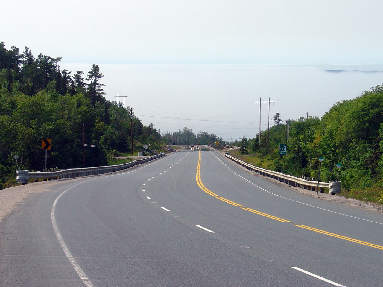
| District of Algoma |
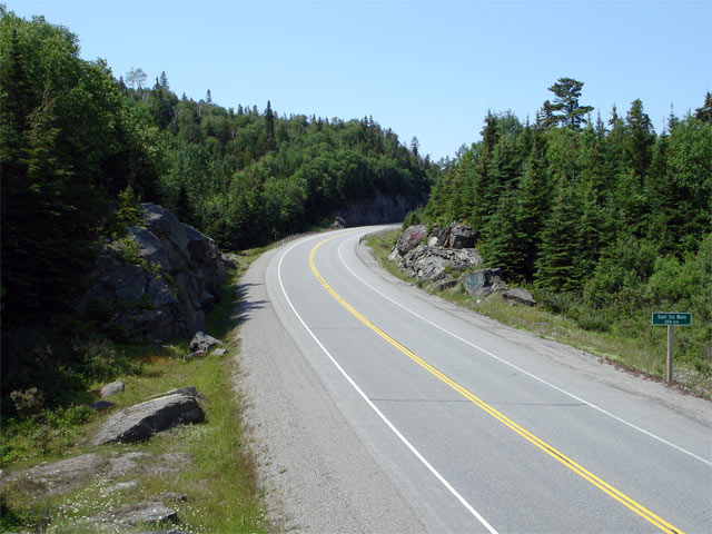
View looking southerly along Highway 17 from roughly 7km south of Wawa.
Photo taken: July 2nd, 2006. |
Low-res
High-res |
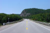
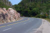
| District of Algoma |
View looking southerly as Highway 17 begins its decent to Old Woman Bay in
Lake Superior Provincial Park.
Photo taken: September 5th, 2006. |
Low-res
High-res |
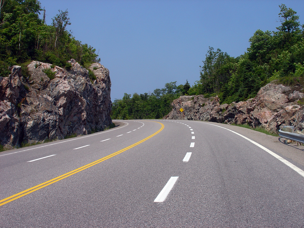
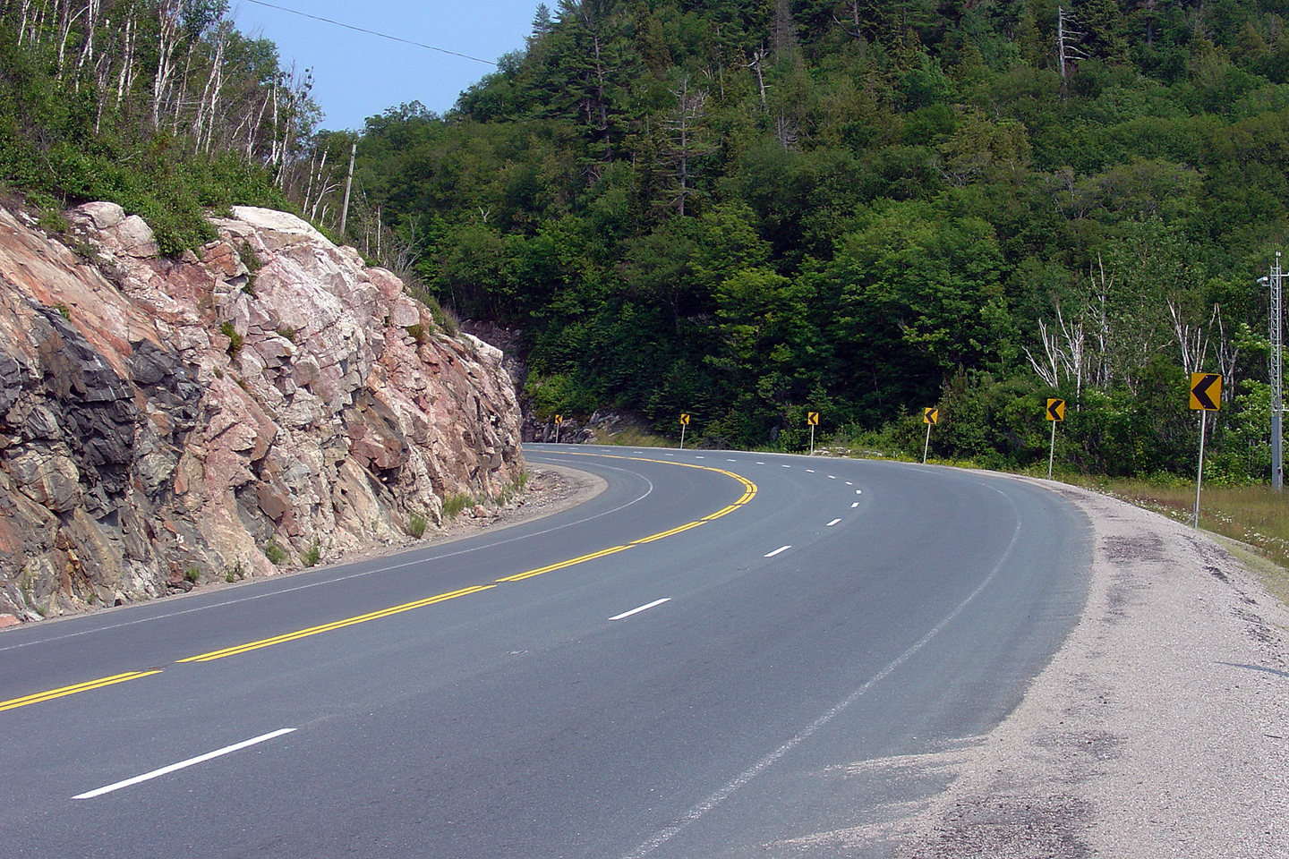
| District of Algoma |
Looking northerly as Highway 17 passes through a large rock cut near Old
Woman Bay. Note how the rock that was cut from the hillside was used
to fill the gully in which I am standing on. Balancing cut/fill
quantity is one of the principal tasks of highway engineering.
Photo taken: July 2nd, 2006. |
Low-res
High-res |
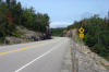
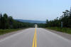
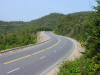
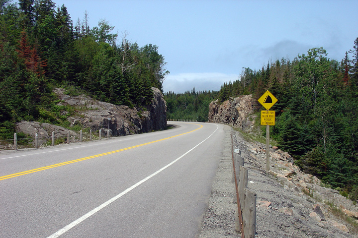
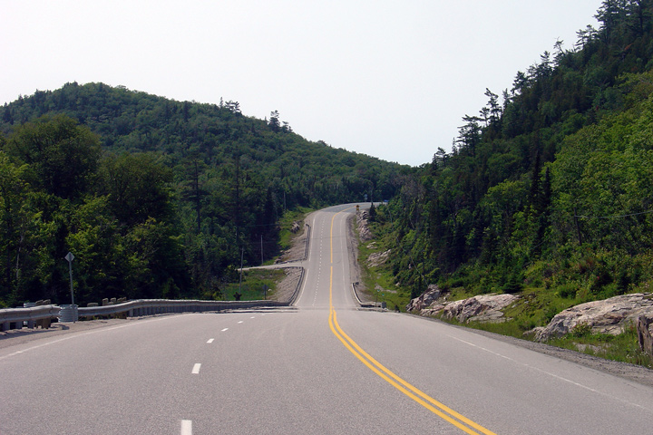
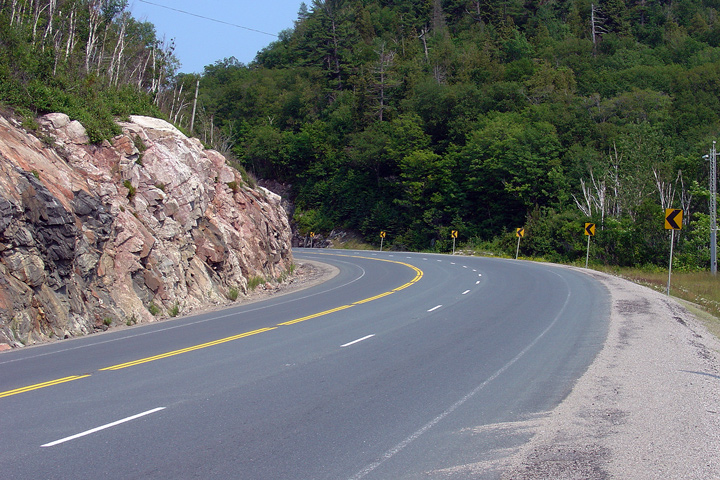
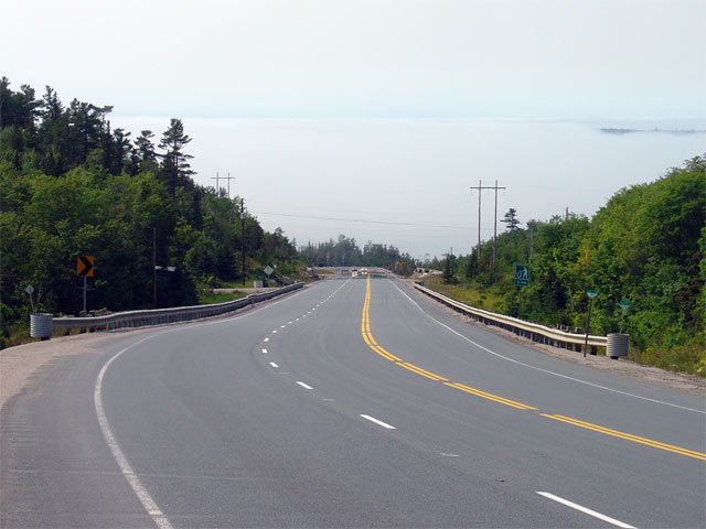
| District of Algoma |
View looking northerly about 30km south of Old Woman Bay. Note how the
highway just disappears from view as it rounds the bend -- this is an
example of poor vertical curve geometry as described by the Transportation
Association of Canada's (TAC) Manual for Highway Design. In
retrospect, the highway designer should have specified a slightly flatter
crest curve to improve the vertical sightlines.
Photo taken: July 2nd, 2006. |

Low-res
High-res |
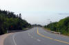
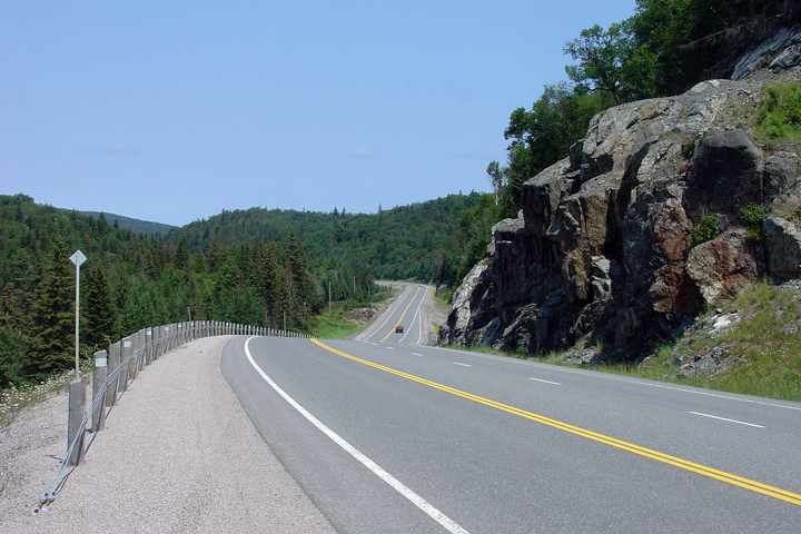
| District of Algoma |
View looking northerly at the south end of a long three lane section along
Highway 17. Though Highway 17 runs generally very close to the Lake Superior
shore through Lake Superior Provincial Park; large costal hills associated
with the north shore of Lake Superior often push the highway inland.
Photo taken: July 2nd, 2006. |

Low-res
High-res |
| District of Algoma |
Looking south as Highway 17 approaches Bald Head. It is a shame this
photo was taken on a hazy day, this is a beautiful vantage point.
Photo taken: July 2nd, 2006. |
Low-res
High-res |
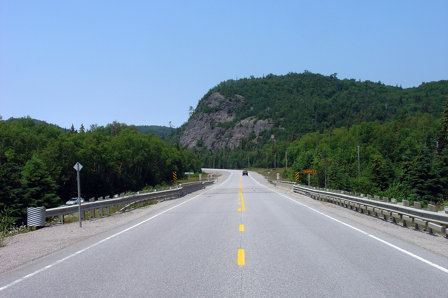
| District of Algoma |
View looking northerly approaching the Coldwater River bridge. Note
the brown signs used for Coldwater Creek. Like
Highway 60 through
Algonquin Park, yellow on brown signs are used through Lake Superior
Provincial Park.
Photo taken: July 2nd, 2006. |
Low-res
High-res |
| District of Algoma |
View looking southerly as a panoramic of Lake Superior appears over the
crest of the hill.
Photo taken: July 2nd, 2006. |
Low-res
High-res |
| District of Algoma |
View looking northerly as Highway 17 begins its ascent from Agawa Bay back
into the costal hills of Lake Superior.
Photo taken: September 5th, 2006. |
Low-res
High-res |
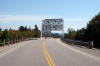
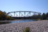
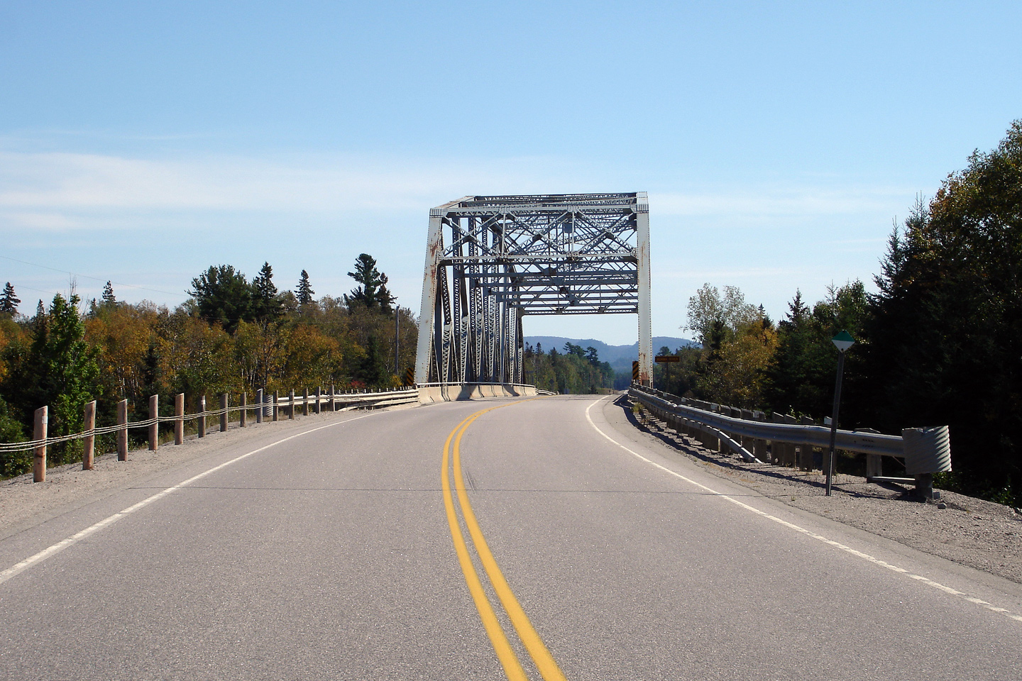
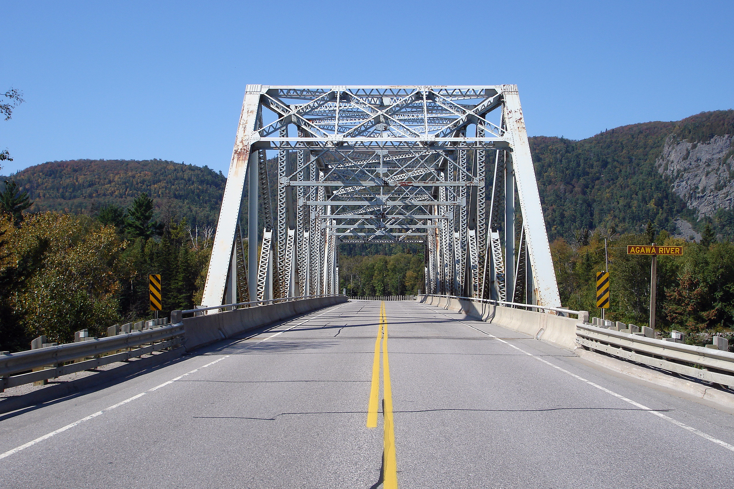
| District of Algoma |
This view looks southerly at the large truss bridge that carries Highway 17
overtop of the Agawa River. Highway 17 has a similar appeal to me as
US-66 did prior to the interstate era. While Highway 17 is not a
freeway, it is still the main street across Canada. While it is
unquestionably slower to traverse than a four lane highway would be, passing
through the small northern communities adds to the highways appeal. It
harkens back to the days before motoring was simply about speed.
Photo taken: September 5th, 2006. |
Low-res
High-res |
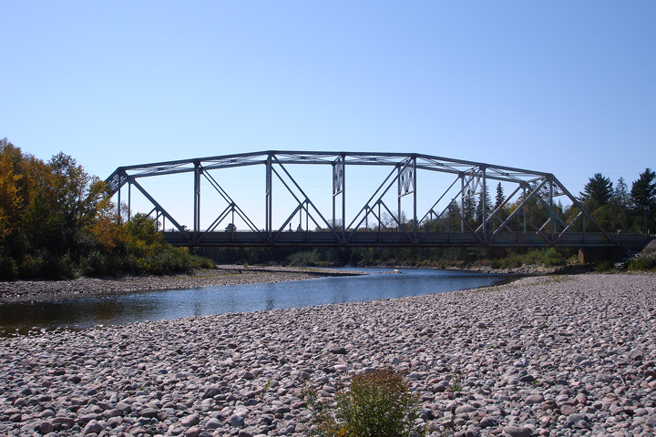
| District of Algoma |
Side shot of the Agawa River bridge. In this late summer photo, the
Agawa River is but a shallow meandering stream, however during the spring I
imagine the river has considerable more flow then pictured.
Photo taken: September 5th, 2006. |
Low-res
High-res |
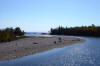
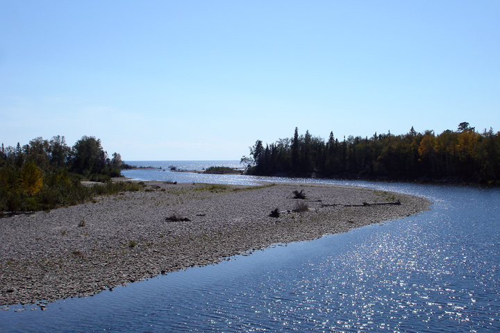
| District of Algoma |
View looking west as the Agawa River empties into Lake Superior. The
Lake Superior shoreline is beyond beautiful. When Cameron, Josh and I
went up north in 2006, we spent almost four full days photographing Highway
17 between Montreal River Harbour and Thunder Bay.
Photo taken: September 5th, 2006. |
Low-res
High-res |
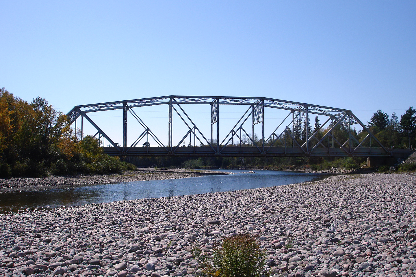
| District of Algoma |
This view looks northerly as Highway 17 passes overtop of the Agawa River.
This is a particularly picturesque portion of the Trans-Canada Highway.
The early start to the autumn colours starting to tint the forest with
pockets of orange and yellow accentuate the natural beauty of Lake Superior
Provincial Park.
Photo taken: September 5th, 2006. |

(720x480)
(1440x960)
(2400x1600) |
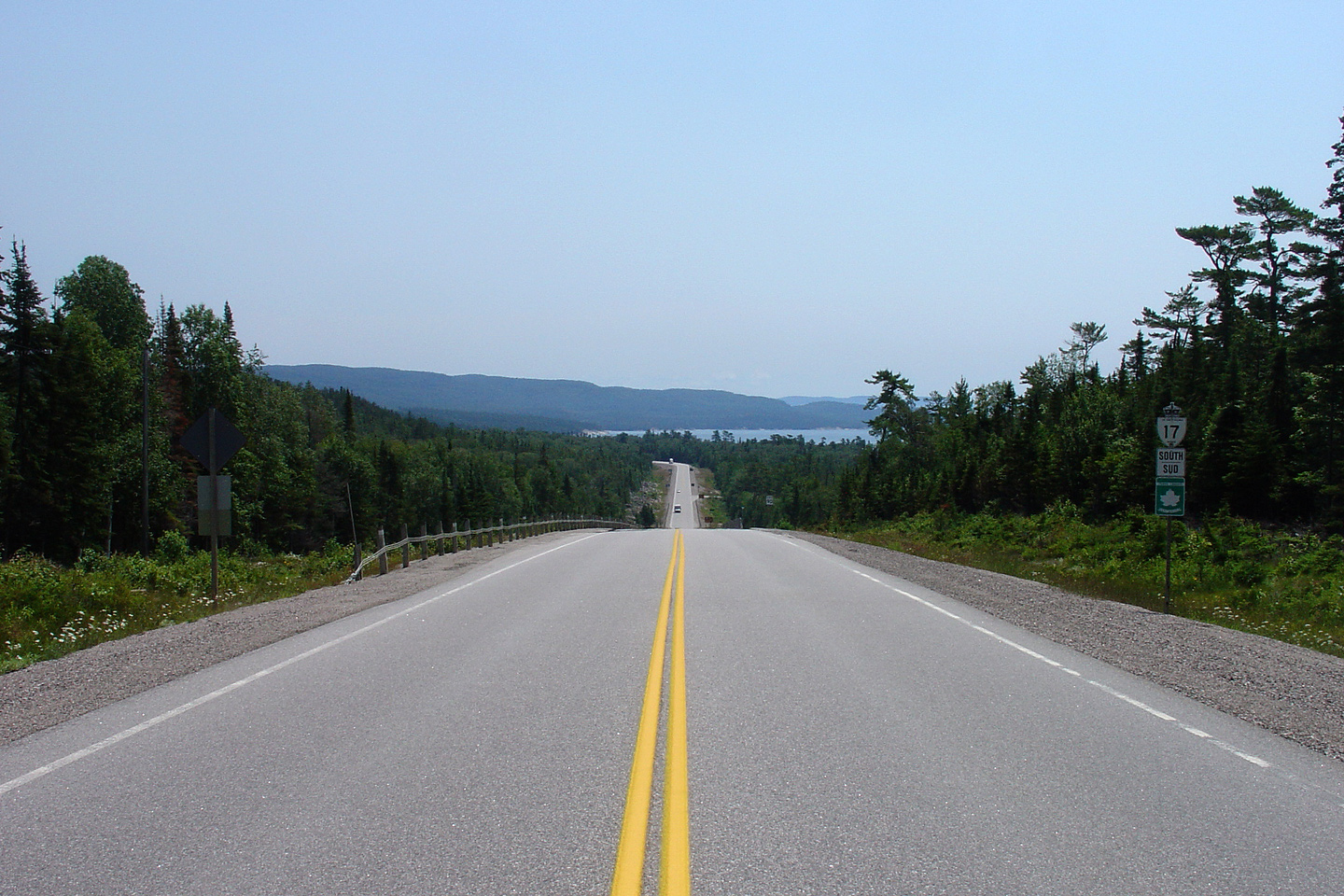
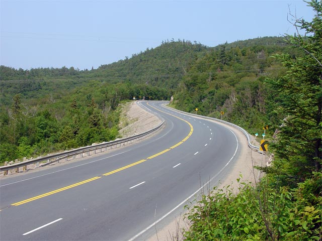
| District of Algoma |
View of the north end of the Montreal River hill along Highway 17. A
long southbound passing lane begins in this photo.
Photo taken: July 2nd, 2006. |
Low-res
High-res |
| District of Algoma |
Northerly view about halfway up the back-end of the Montreal River hill.
Photo taken: July 2nd, 2006. |
Low-res
High-res |
| District of Algoma |
Opposing view from the same vantage point. A large lake has been built
to the left of the highway here. Ontario Power Generation operates a
generating station at the Montreal River Dam. Numerous remote rivers
have been dammed in Northern Ontario for hydro-electric production.
Historically electricity has been very inexpensive in many Northern Ontario
Communities.
Photo taken: July 2nd, 2006. |
Low-res
High-res |
| District of Algoma |
This view looks northerly at the crest of Montreal River Hill. A brief
four lane section of highway has been constructed at the top of the hill as
the southbound climbing lane ends in favour of a long northbound climbing
lane.
Photo taken: July 2nd, 2006. |

Low-res
High-res |
| District of Algoma |
Opposing view from the previous vantage point. A large valley separates
the two 'summit's of Montreal River Hill. While this valley would be
regarded as quite shallow by those used to traversing mountains, this valley
is notable along Highway 17 in Ontario.
Photo taken: July 2nd, 2006. |
Low-res
High-res |
| District of Algoma |
View from the other side of the valley. This photo was taken from the
south 'summit'. Heading northbound up Montreal River Hill the road
simply climbs from the Montreal River bridge to this point, cresting the
hill I find it very striking how quickly the highway falls into the valley
only to rise to the next crest about a kilometre away.
Photo taken: July 2nd, 2006. |
Low-res
High-res |
| District of Algoma |
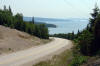
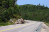
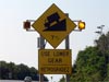
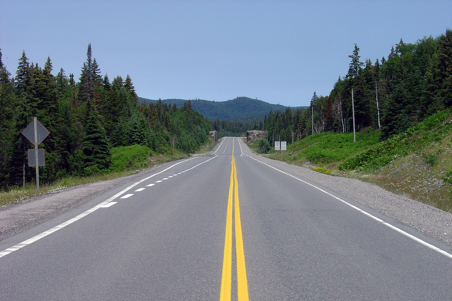
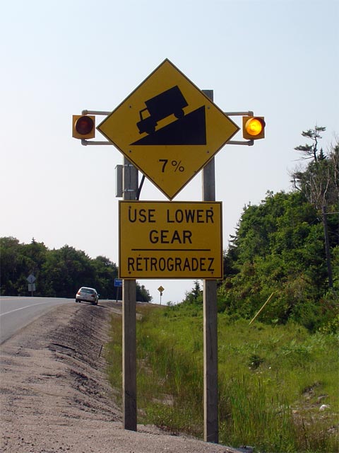
Yellow warning side marking the beginning of the Montreal River Hill.
The MTO recently began studying a diversion around the Montreal River Hill.
Photo taken: July 2nd, 2006. |
 |
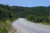
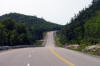
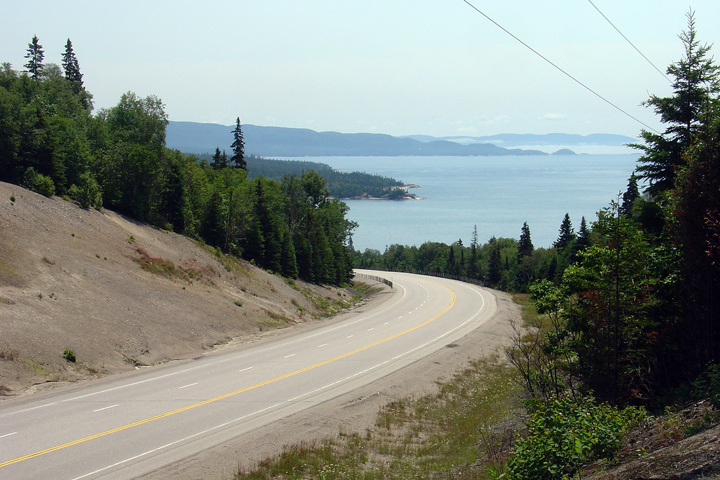
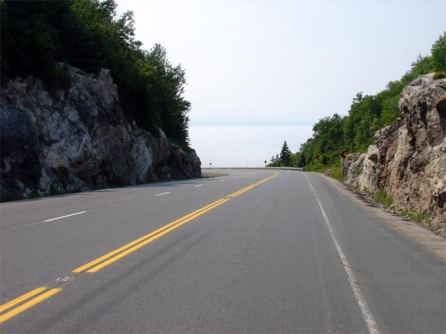
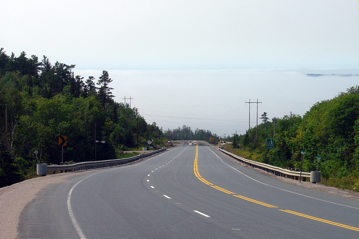
| District of Algoma |
Looking southerly as Highway 17 begins its decent down the Montreal River
Hill. Unfortunately when this photo was taken, Lake Superior was
covered by a fine mist that just kept the water out of view. The
Montreal River Hill offers travelers one of the most scenic vistas of Lake
Superior to be found along Highway 17.
Photo taken: July 2nd, 2006. |
 |
| District of Algoma |
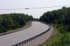
Looking again south at the same curve as the
previous photo. It is hoped that the current Highway 17 alignment
would be left open as a scenic loop ensuring future travelers can continue
to enjoy the beautiful view of the lake once the Montreal River Hill
diversion is completed
Photo taken: July 2nd, 2006. |
Low-res
High-res |
| District of Algoma |
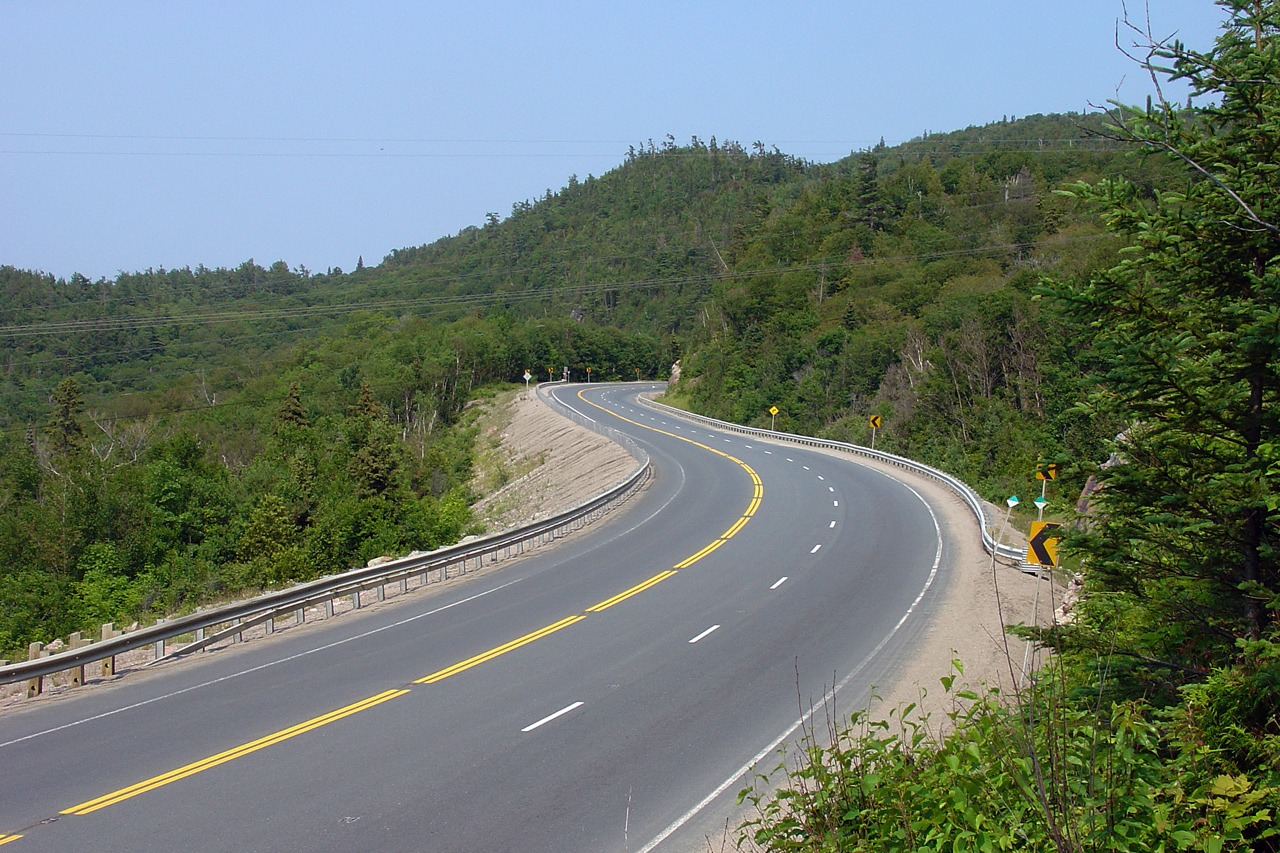
Looking north at a rather tight reversing curve as
Highway 17 ascends the Montreal River Hill. Photo taken: July 2nd, 2006. |
Low-res
High-res |
| District of Algoma |
View midway up the hill -- looking north.
Photo taken: July 2nd, 2006. |
Low-res
High-res |
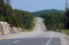
| District of Algoma |
Looking south towards Montreal River Harbour. Highway 17 follows a
straight alignment on the southern portion of the Montreal River Hill.
Photo taken: July 2nd, 2006. Low-res: 50kb. High-res: 210kb. |
Low-res
High-res |
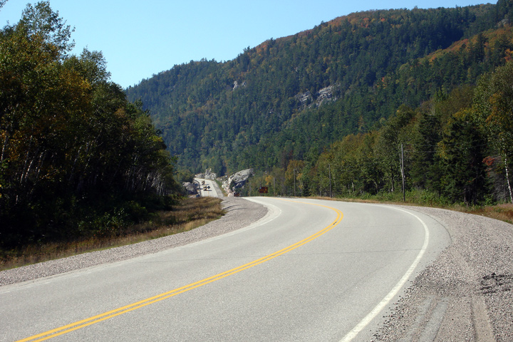
| District of Algoma |
Looking north towards the abrupt start of the Montreal River Hill. The
transition from the the fairly tame Lake Superior shoreline into the rugged
hills hills along the north and east sides of the lake is never more
pronounced then it is at the Montreal River.
Photo taken: July 2nd, 2006. |

Low-res
High-res |
|
Continues on Montreal River to
Sault Ste. Marie Images |


