King's Highway 11 - Images
<- Page 5C Page 5D - Shabaqua to Atikokan Page 5E ->
Photos shown in this table are arranged from EAST to WEST:
| Proper Municipality Name | Photo Description | Photo | |
|
Photos taken from driver's perspective appear offset from centre-line Photos: |
East- bound |
West- bound |
|
| Continued from Thunder Bay to Shabaqua Images | |||
| Highway 17 is the Trans-Canada Highway. Click here for Highway 17-East images | |||
| District of Thunder Bay |
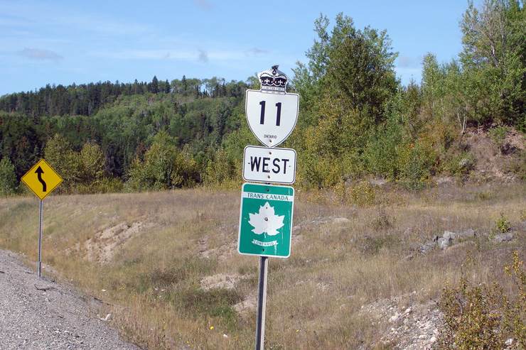
The first westbound reassurance marker from Shabaqua Corners is posted with
a Trans-Canada Highway marker. The Ontario Official Road Map no longer
shows Highway 11 as part of the Trans-Canada Highway network. Ironically,
the first westbound Highway 17 markers past Highway 11 doesn't included a
Trans-Canada Highway shield. Photo taken: August 31st, 2006. |
 |
|
| District of Thunder Bay |
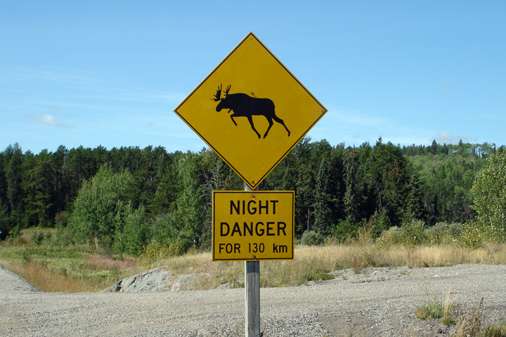
West of Shabaqua Corners, Highway 11 passes through several hundred
kilometres of wilderness before emerging in Fort Frances. Photo taken: August 31st, 2006. |
 |
|
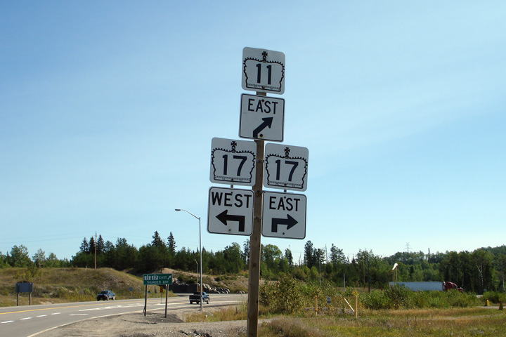
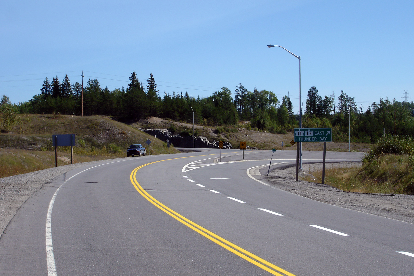
| District of Thunder Bay |
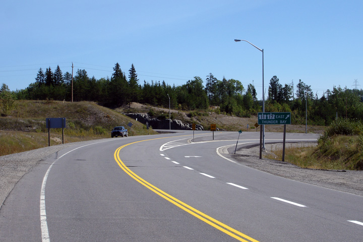
Green signage for the eastbound ramp to Highway 11/17. Its nearly 70km
from this junction into Thunder Bay. Photo taken: August 31st, 2006. |
 |
|
| District of Thunder Bay |
Easterly view from the International Bridge between Rainy River and Baudette
Minnesota. This quiet rural stretch of highway is a world away from
the congested border crossings found in the south of the province. Photo taken: August 31st, 2006. |
 |
|
| District of Thunder Bay |
Advanced junction assembly for the Highway 17-West intersection.
Highway 11 and 17 run concurrently for 180km between this junction and
Nipigon. Photo taken: August 31st, 2006. |
 |
|
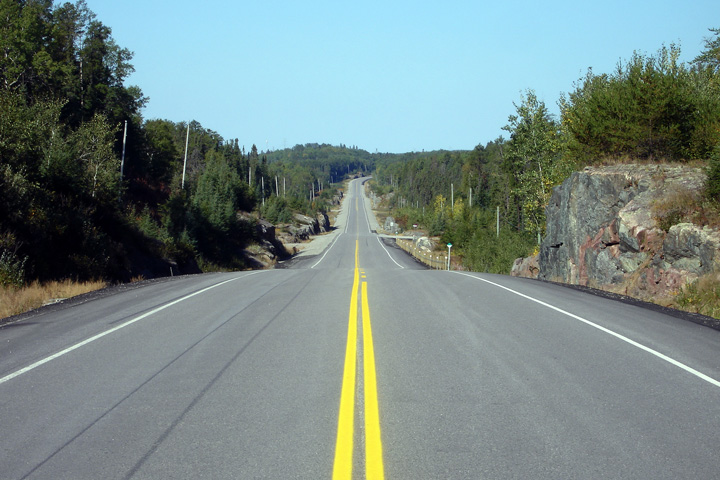
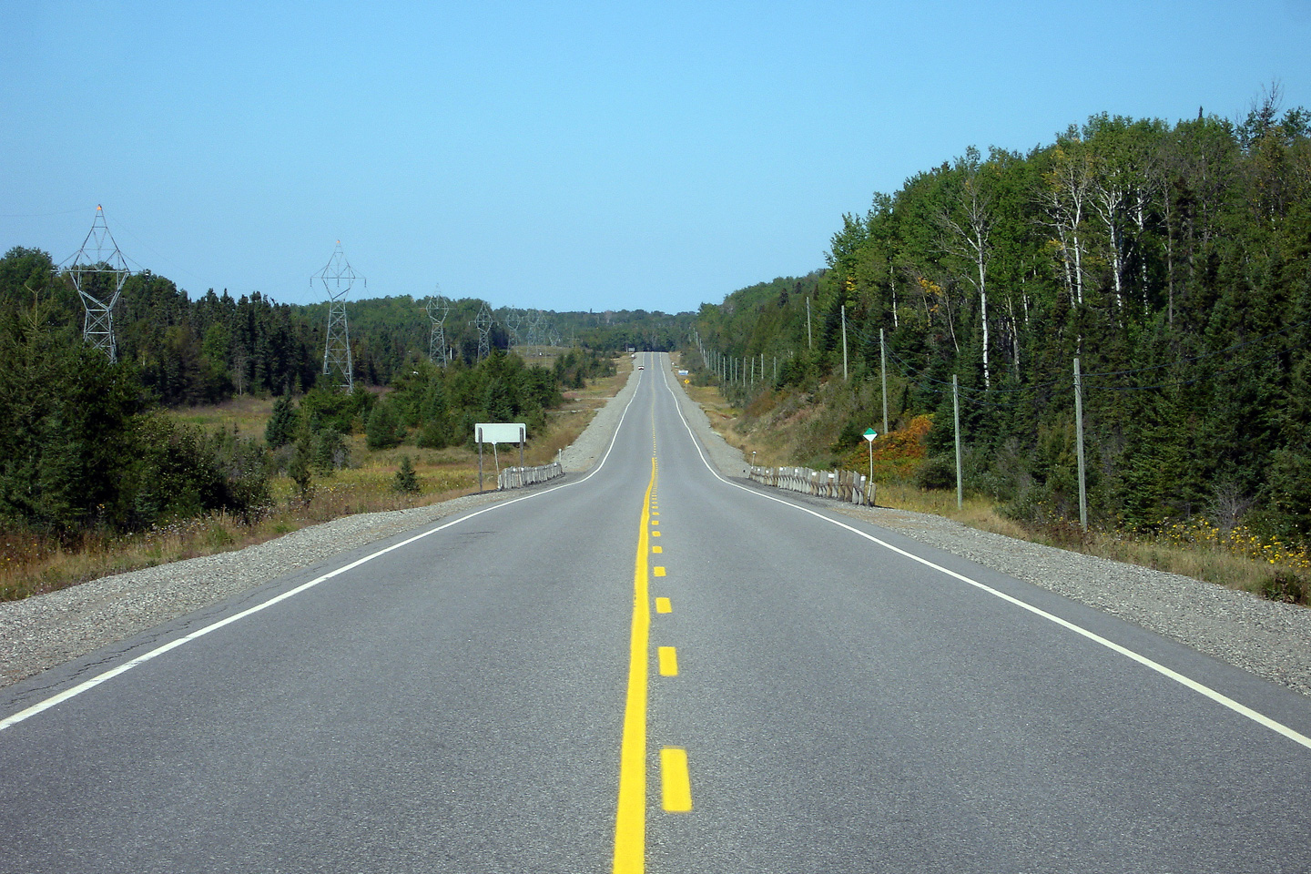
| District of Thunder Bay |
View looking westerly from the Shebandowan Road intersection. Photo taken: September 4th, 2006. |
 |
|
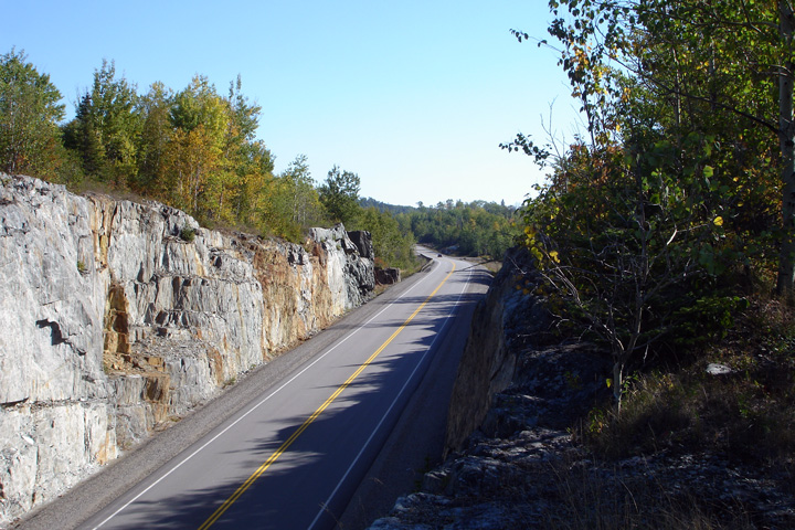
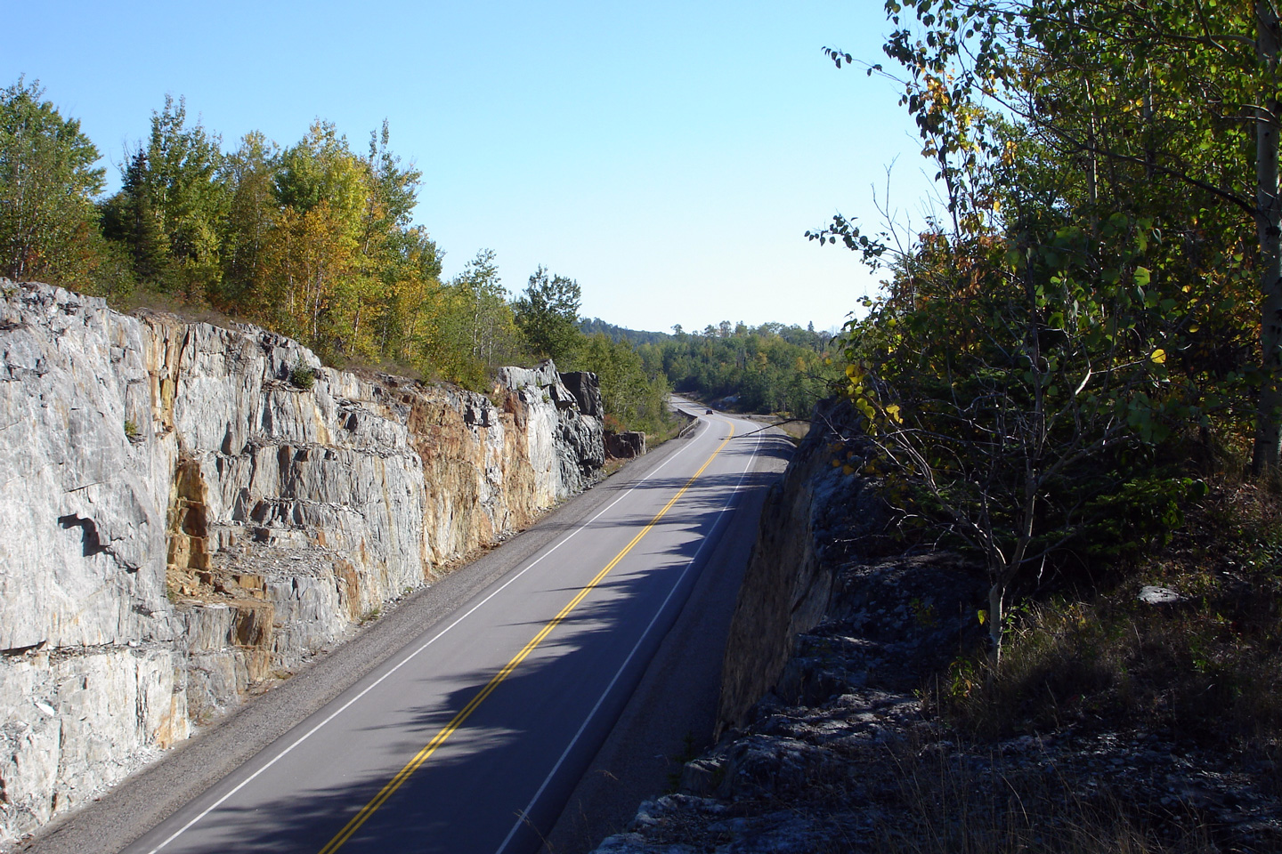
| District of Thunder Bay |
Reverse, easterly view from the previous location. Note the scale of
the rock cut. It was no easy task to punch Highway 11 through the
rugged wilderness that is Northwestern Ontario. The Ontario Government
spared no expense when construction Highway 11. Less than 1000 vehicles use
this highway on an average day. Photo taken: September 4th, 2006. |
|
|
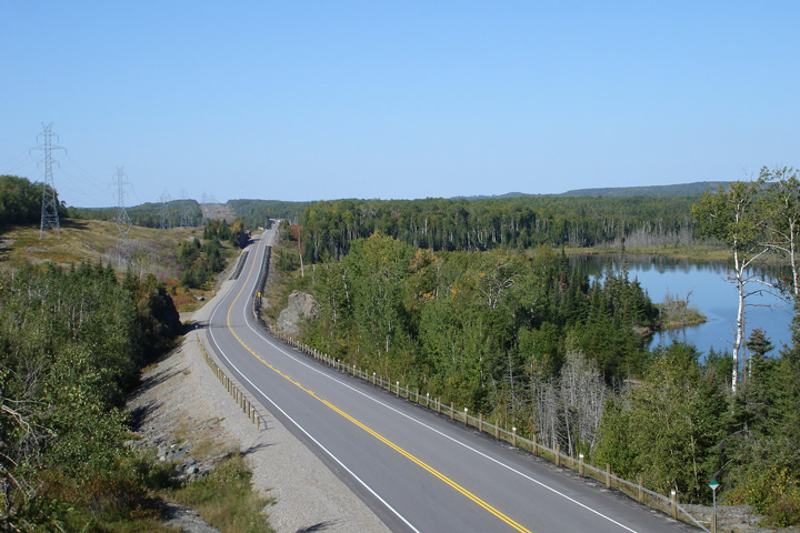
| District of Thunder Bay |
Westerly view as Highway 11 passes by Kashabowie Lake. Photo taken: September 4th, 2006. |
|
|
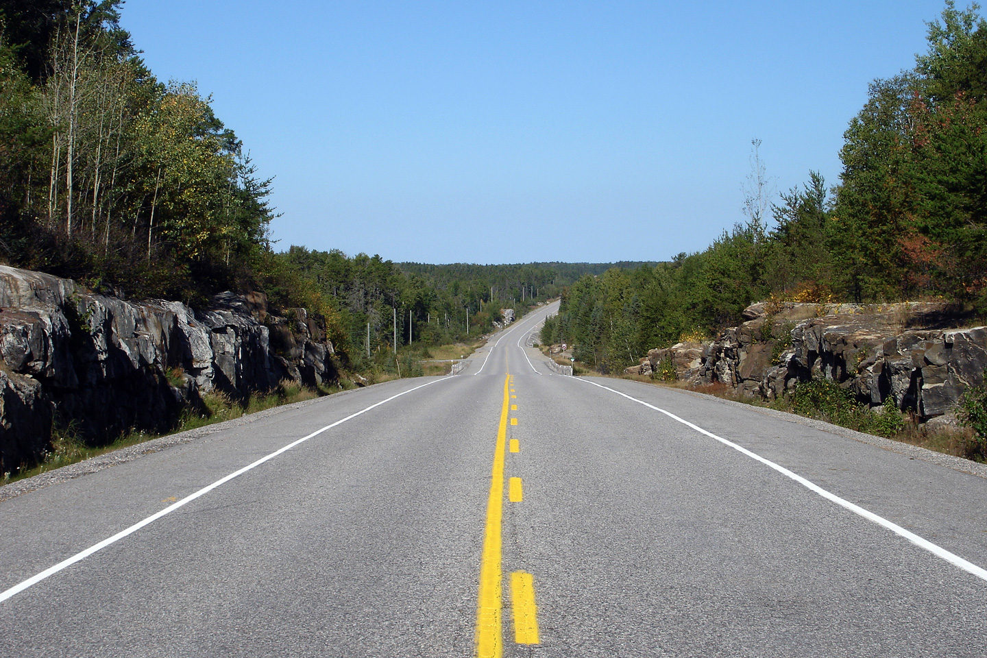
| District of Thunder Bay |
View looking westerly along Highway 11 about 50km west of Shabaqua Corners. Photo taken: September 4th, 2006. |
 |
|
| District of Thunder Bay |
Westerly view taken roughly 65km west of the Highway 17 intersection at
Shabaqua Corners. Notice how little traffic appeared in the preceding
photos. Highway 11 between Shabaqua Corners and Fort Francis is one of
Ontario's most lightly travelled King's Highways. Photo taken: September 4th, 2006. |
 |
|
| Continue west on Highway 11 via Atikokan to Fort Frances images (Coming Soon!). | |||
<-
Page 5C Images
Highway
11 Images Index Page
5E Images ->
Back to Highway 11 - Page 5
<- Highway 10 Images Images Index Highway 11A Images ->
Copyright (c) 2004-2010, AsphaltPlanet.ca AsphaltPlanet@asphaltplanet.ca