|
Proper Municipality Name |
Photo Description |
Photo |
|
Pictures taken
from driver's perspective appear offset from centre-line pictures: |
East-
bound |
West-
bound |
|
Continued from Nipigon to Pass Lake
Images |
Municipality of Shuniah
District of Thunder Bay |
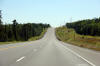
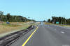
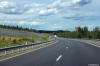
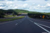
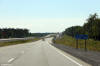
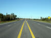
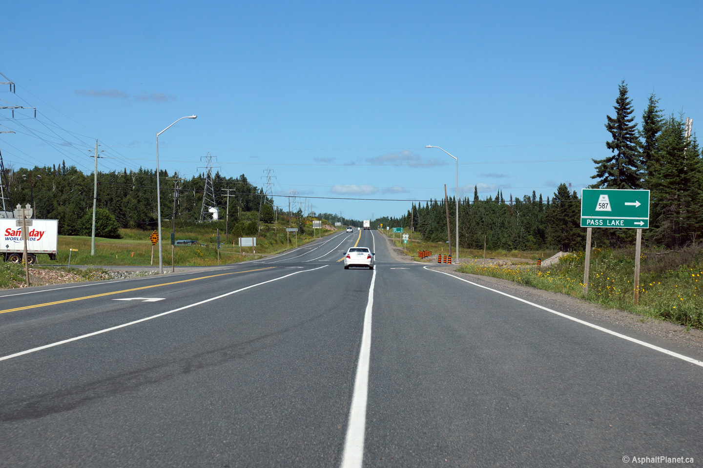
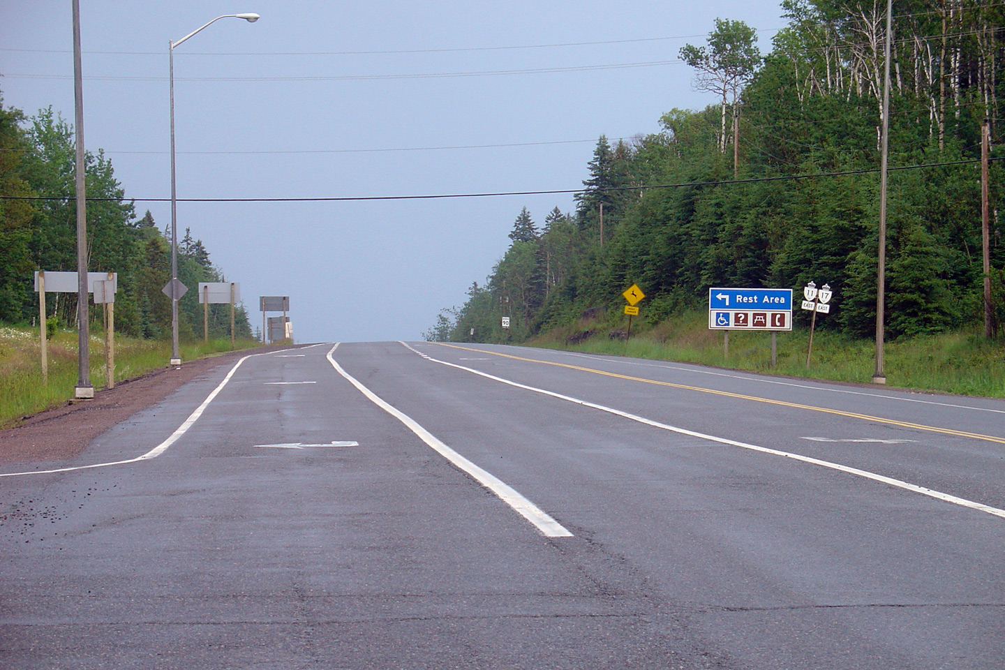
Easterly view approaching the Highway 587 junction. Highway 587 runs
southerly from Highway 11/17 and serves various small communities on the
Sibley Peninsula.
Photo taken: August 13th, 2014. |

(720x480)
(1440x960)
(2400x1600) |
Municipality of Shuniah
District of Thunder Bay |
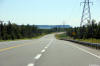
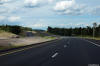
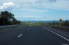
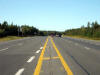
Westerly view of a four lane undivided portion of Highway 11/17 a short
distance west of Highway 587.
Photo taken: August 13th, 2014. |
(720x480)
(1440x960)
(2400x1600) |
Municipality of Shuniah
District of Thunder Bay |
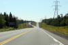
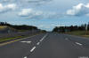
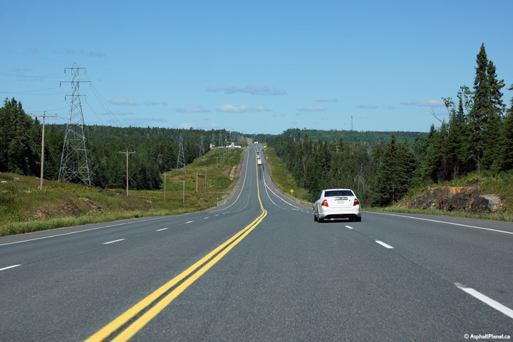
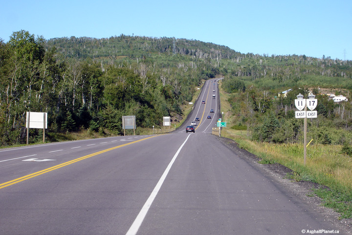
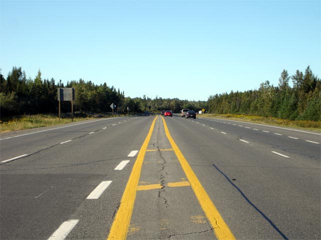
Looking easterly along Highway 11/17 from about halfway between the Highway
587 and Nelson Road intersections.
Photo taken: August 13th, 2014. |

(720x480)
(1440x960)
(2400x1600) |
Municipality of Shuniah
District of Thunder Bay |
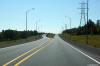
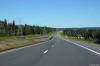
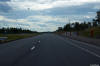
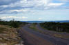
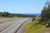
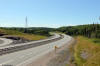
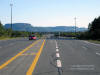
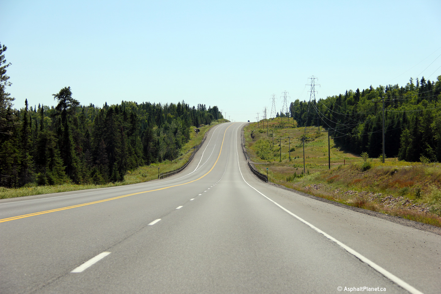
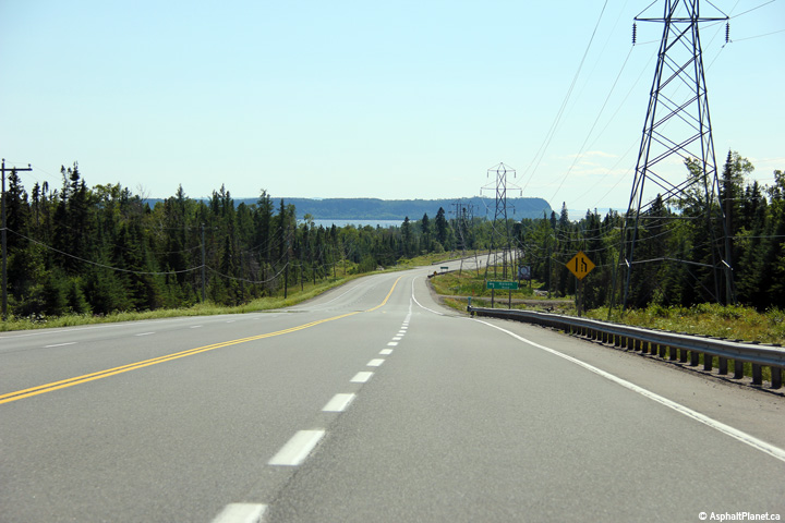
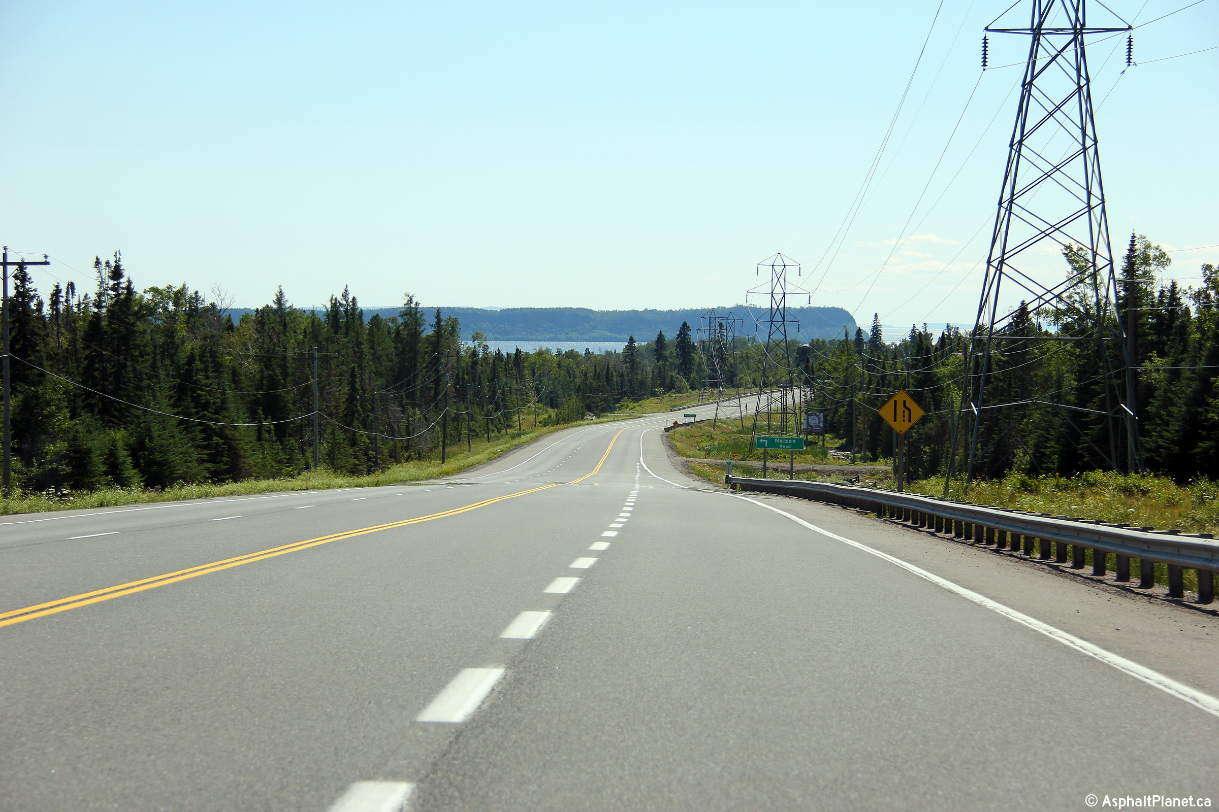
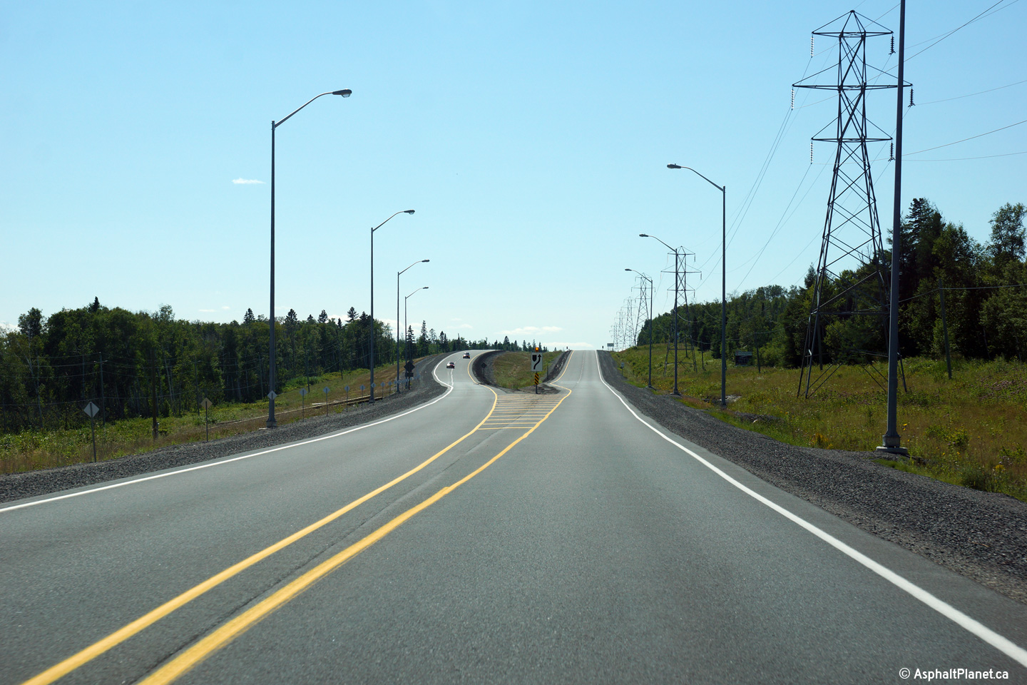
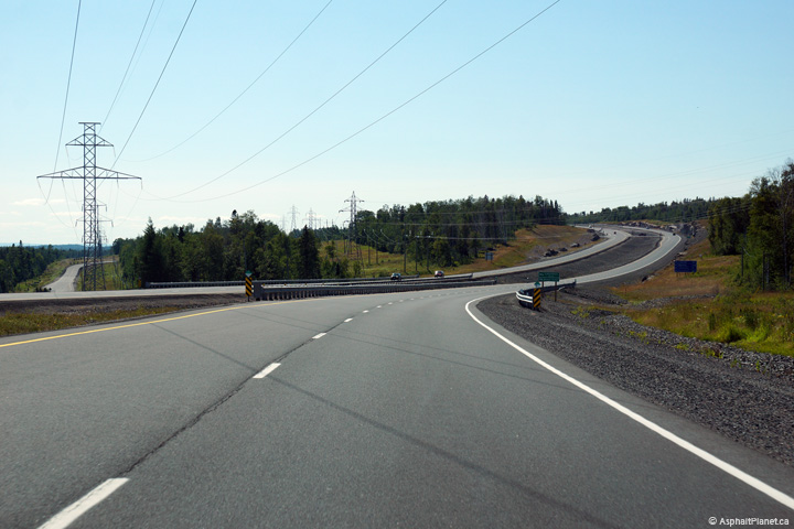
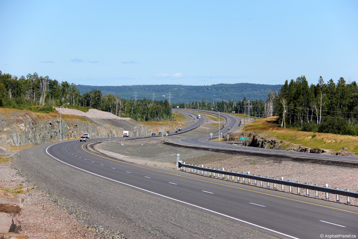
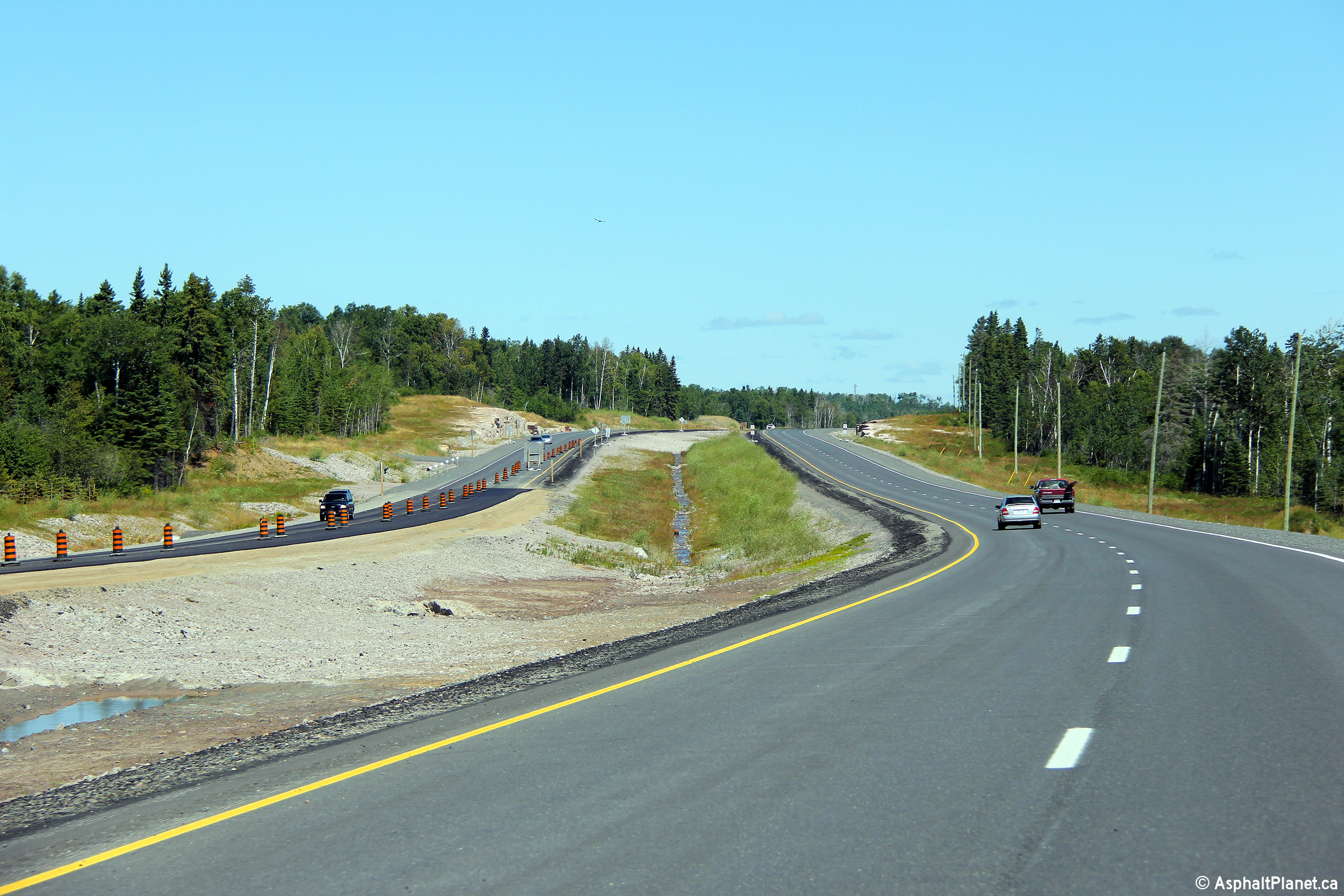
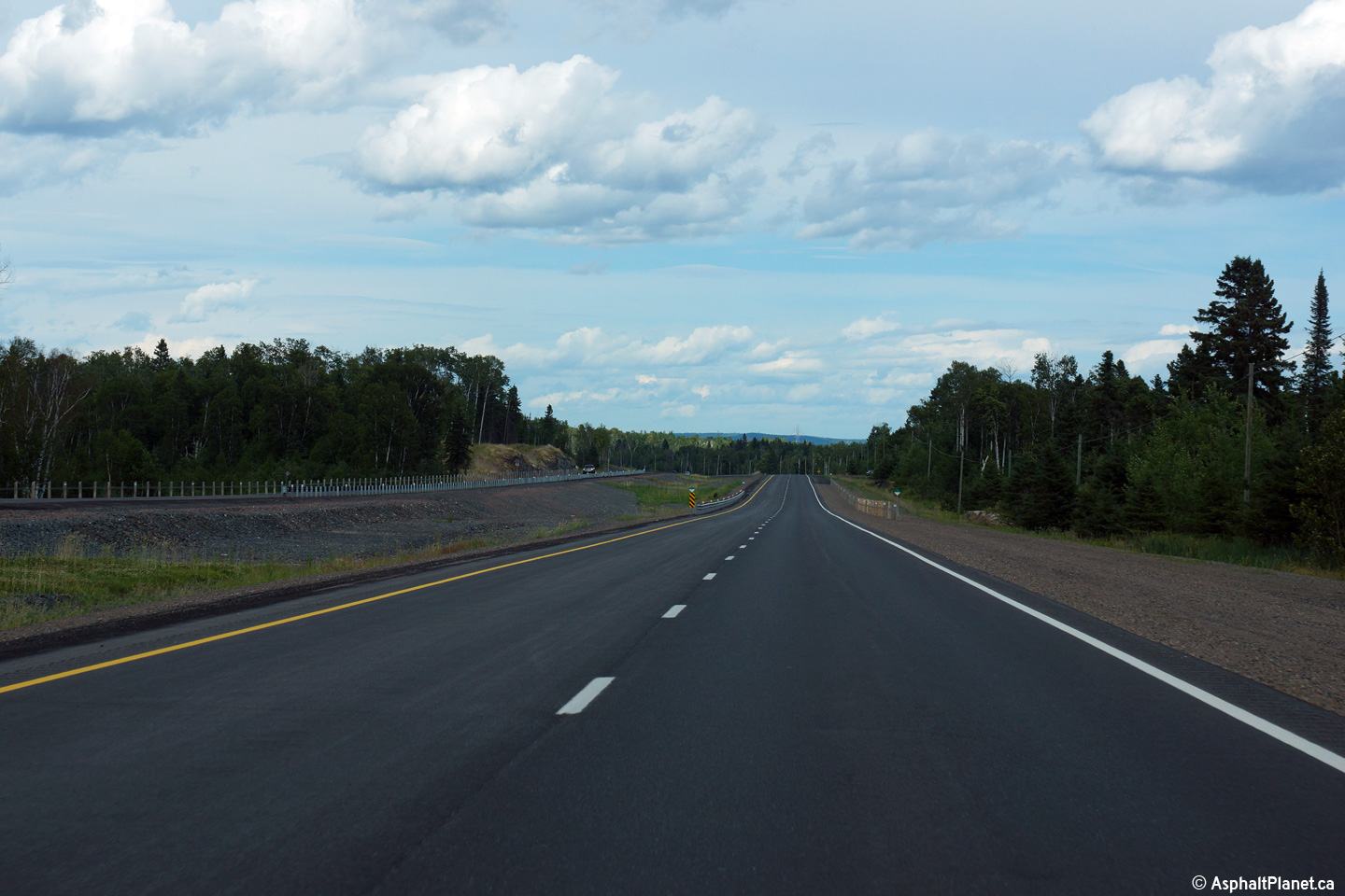
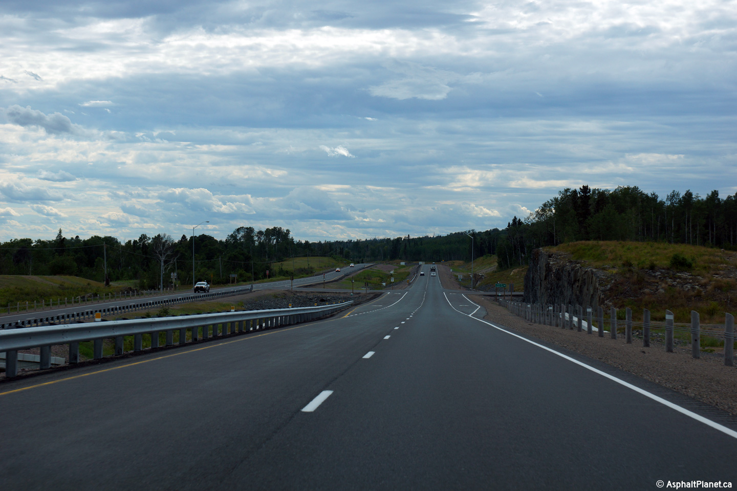
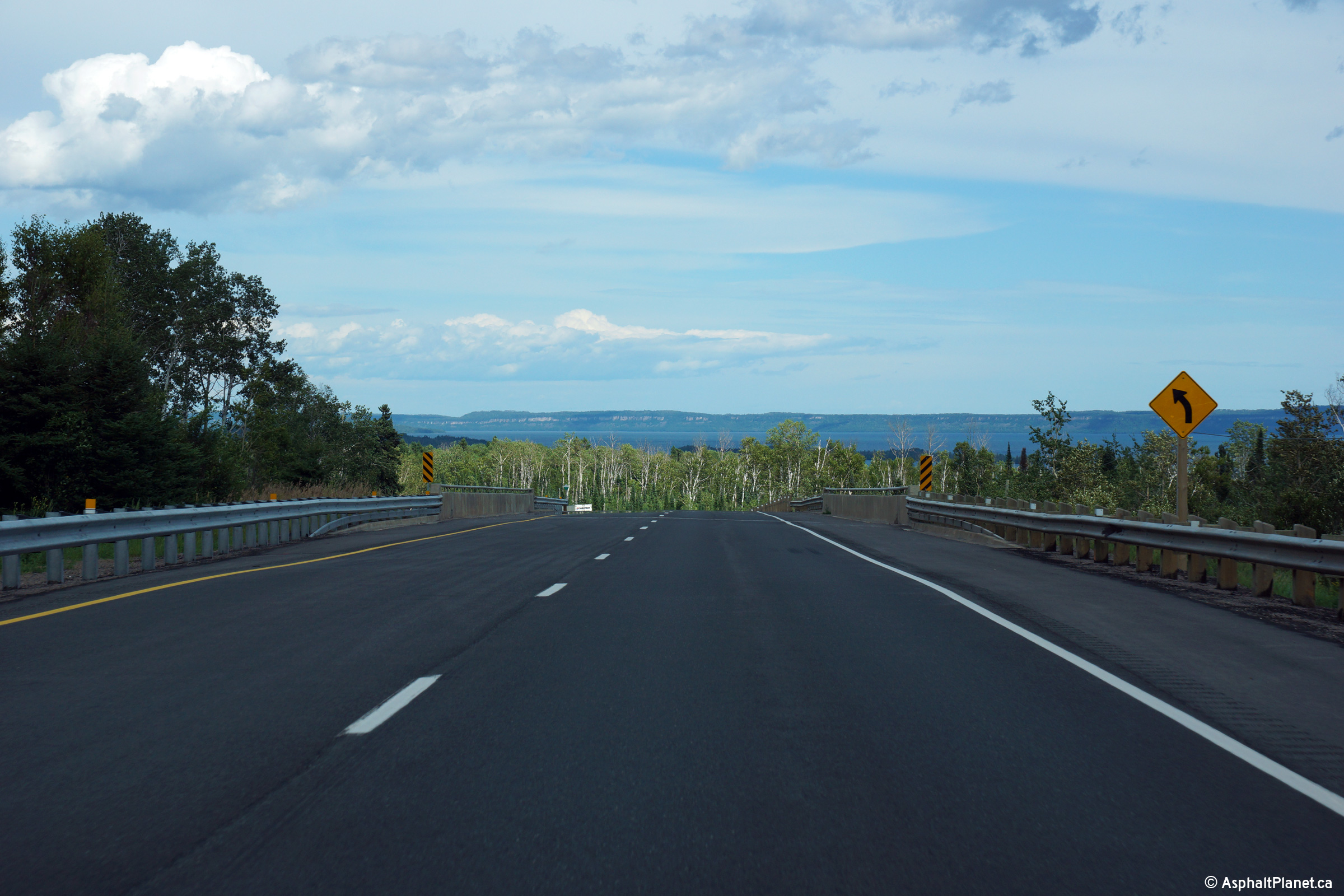
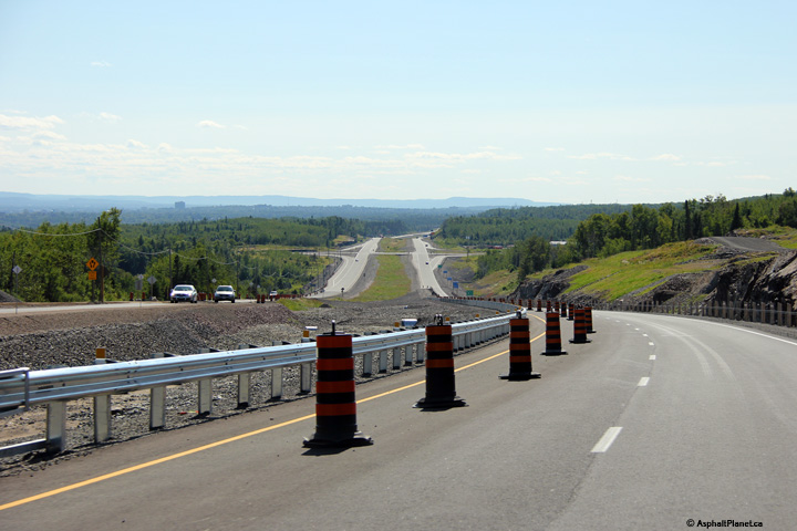
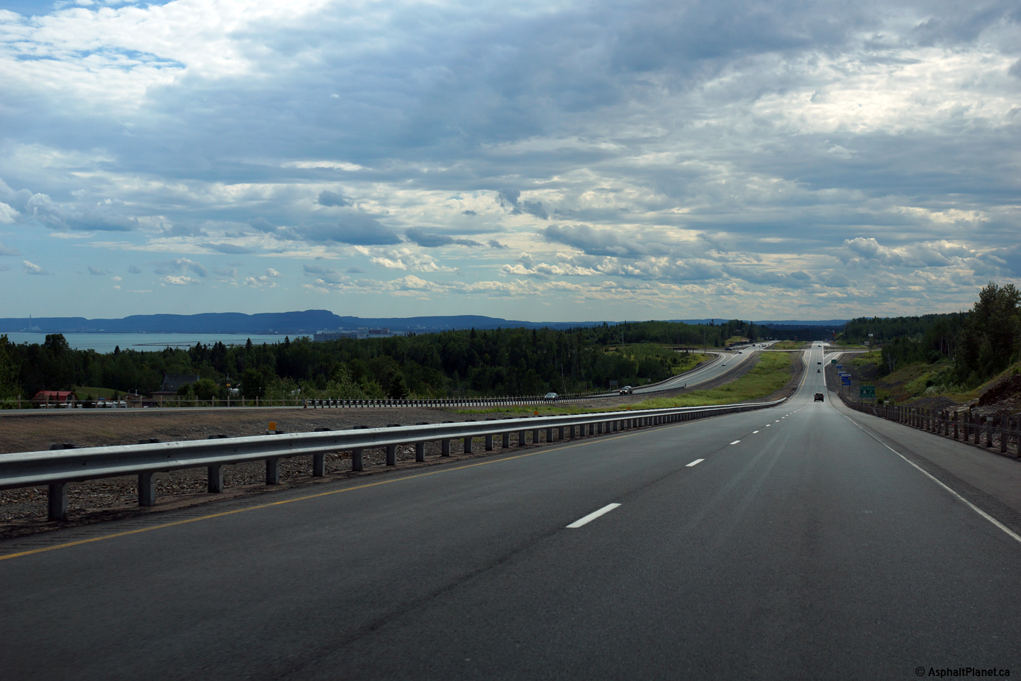
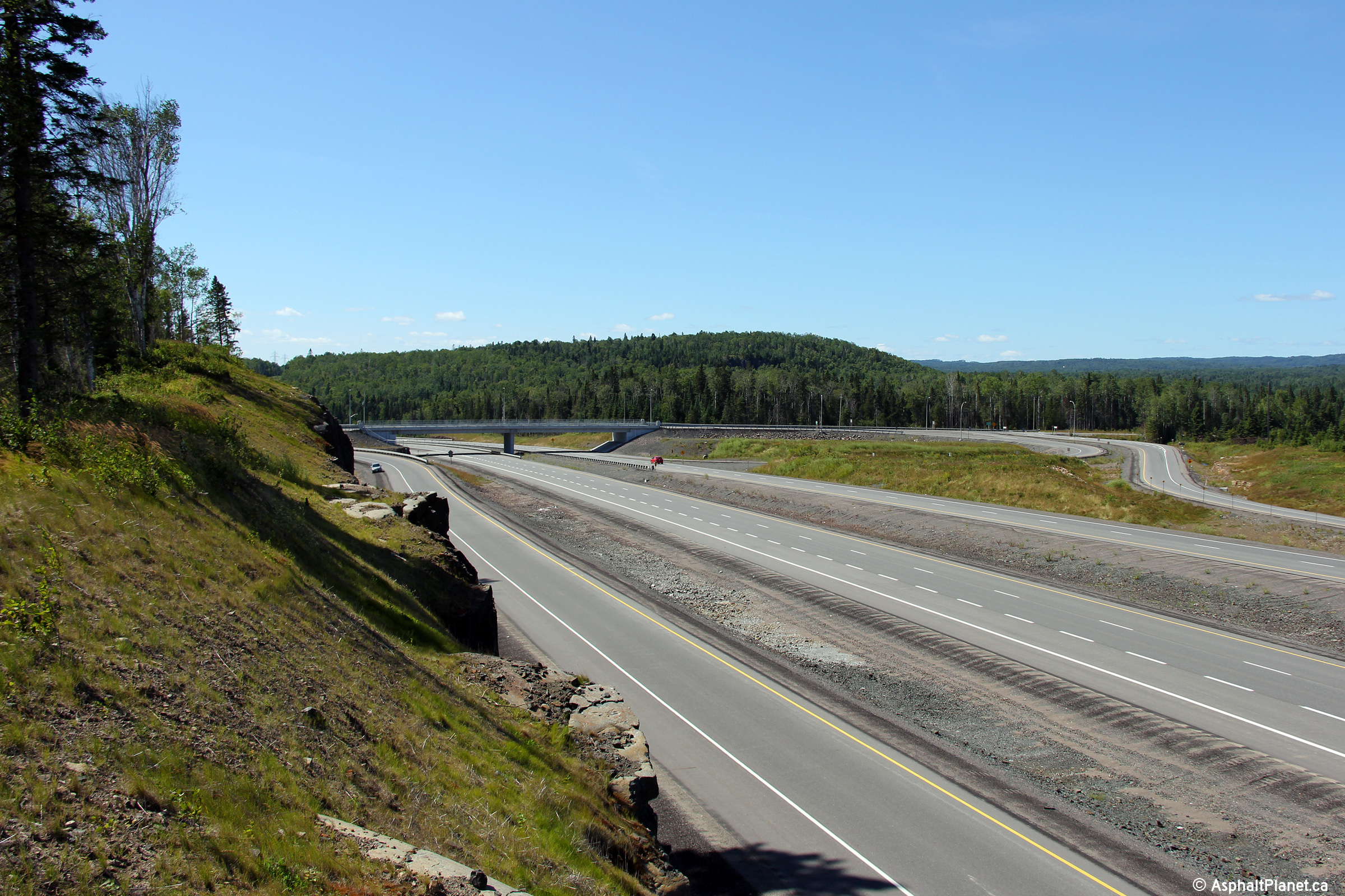
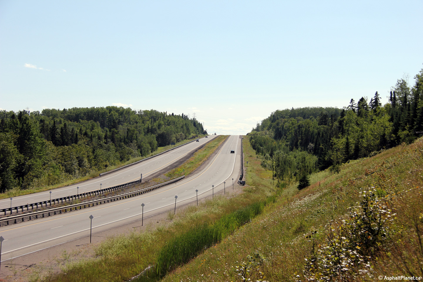
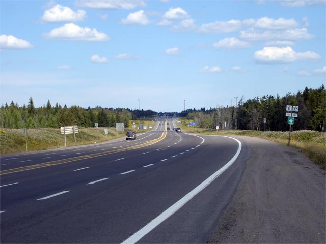
Westerly view approaching the Nelson Road intersection. Lake Superior
is visible from the top of this high hill. Though the pictured
westbound passing lane ends in this photo, the four lane divided highway
begins only a few kilometres to the west of this location.
Photo taken: August 13th, 2014. |
(720x480)
(1440x960)
(2400x1600) |
Municipality of Shuniah
District of Thunder Bay |
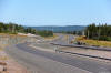
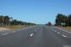
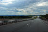
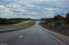
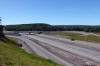
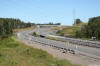
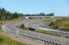
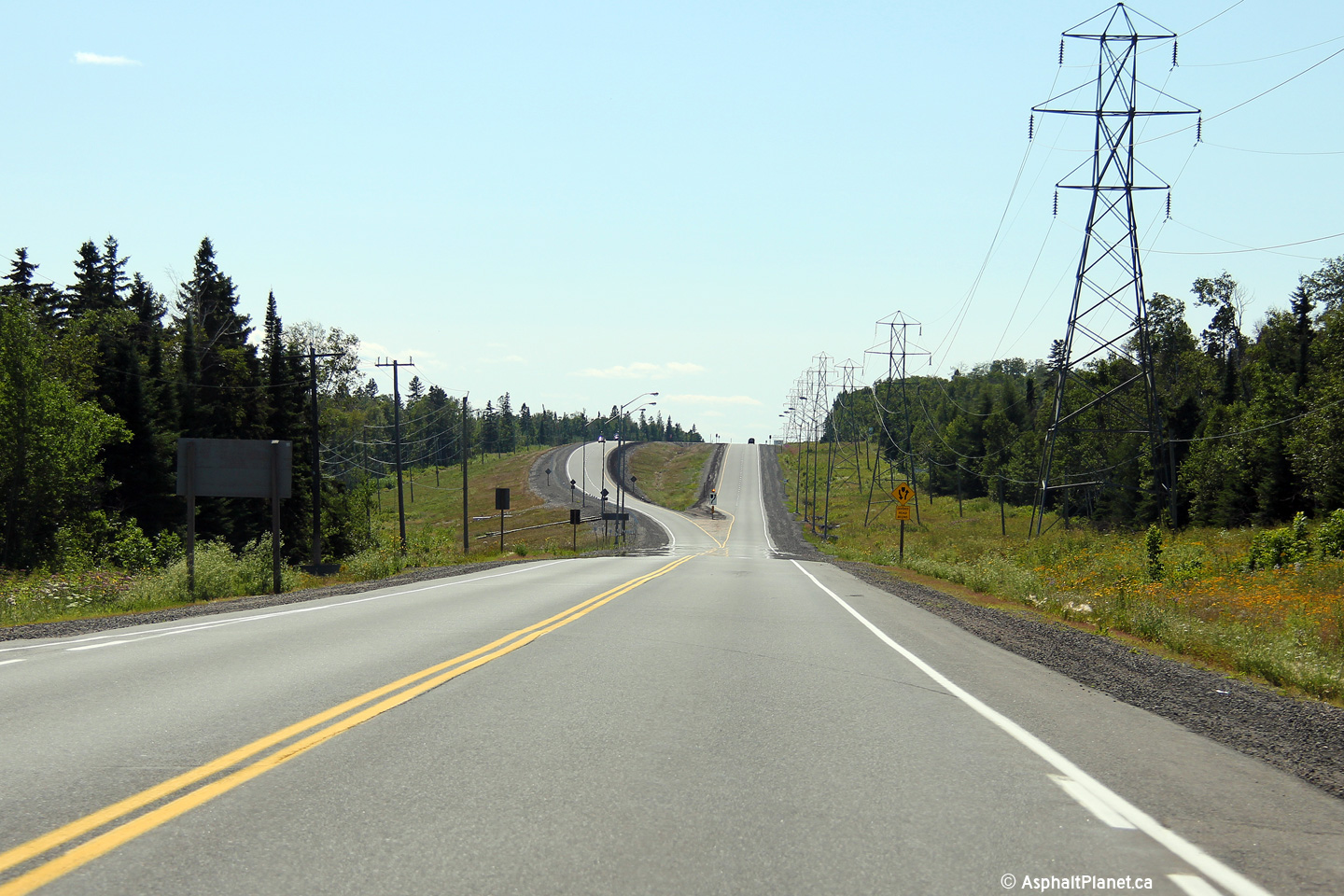
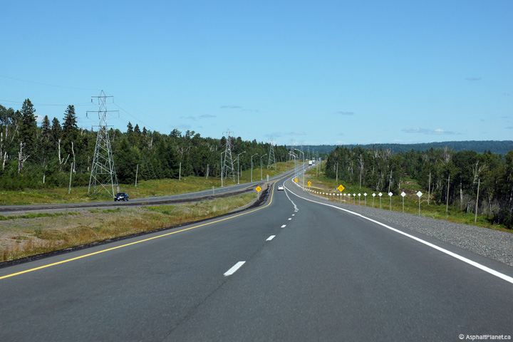
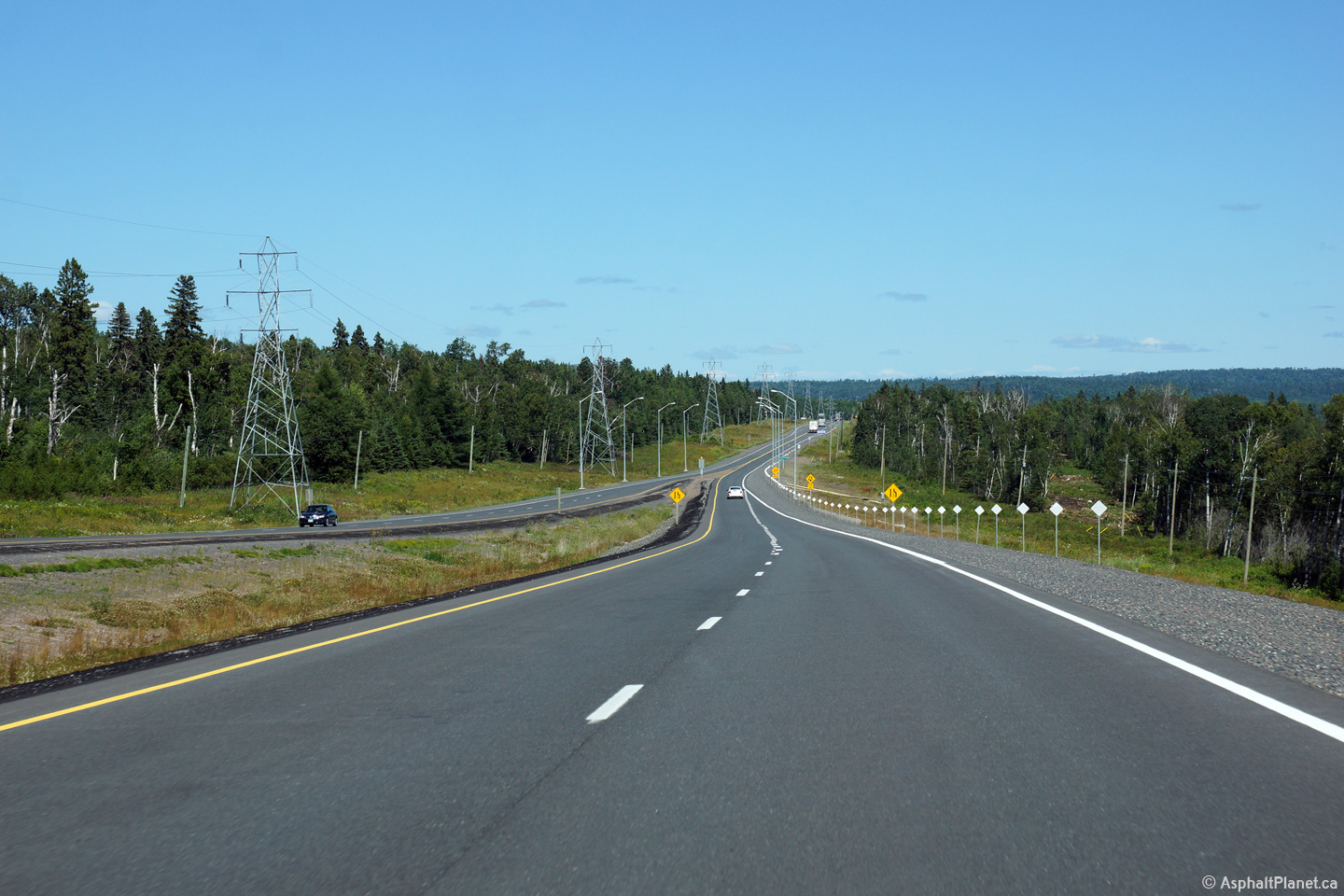
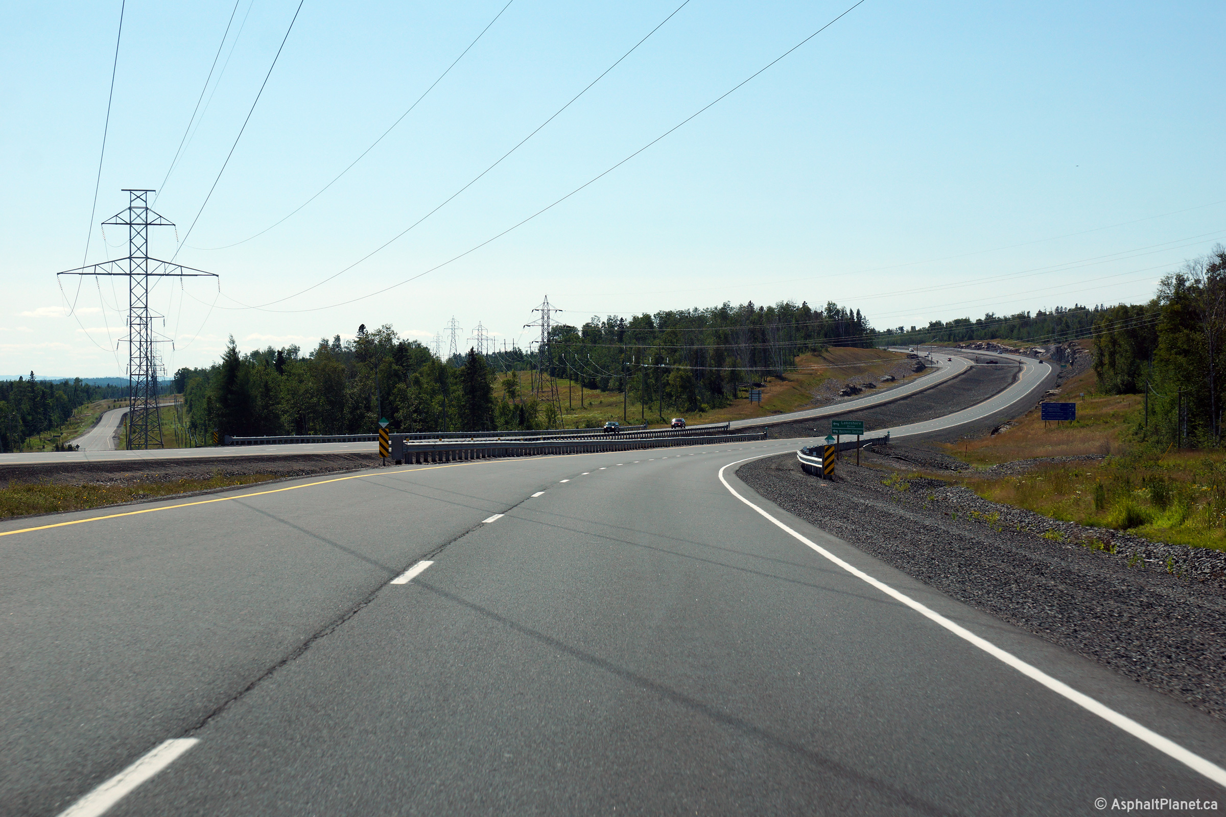
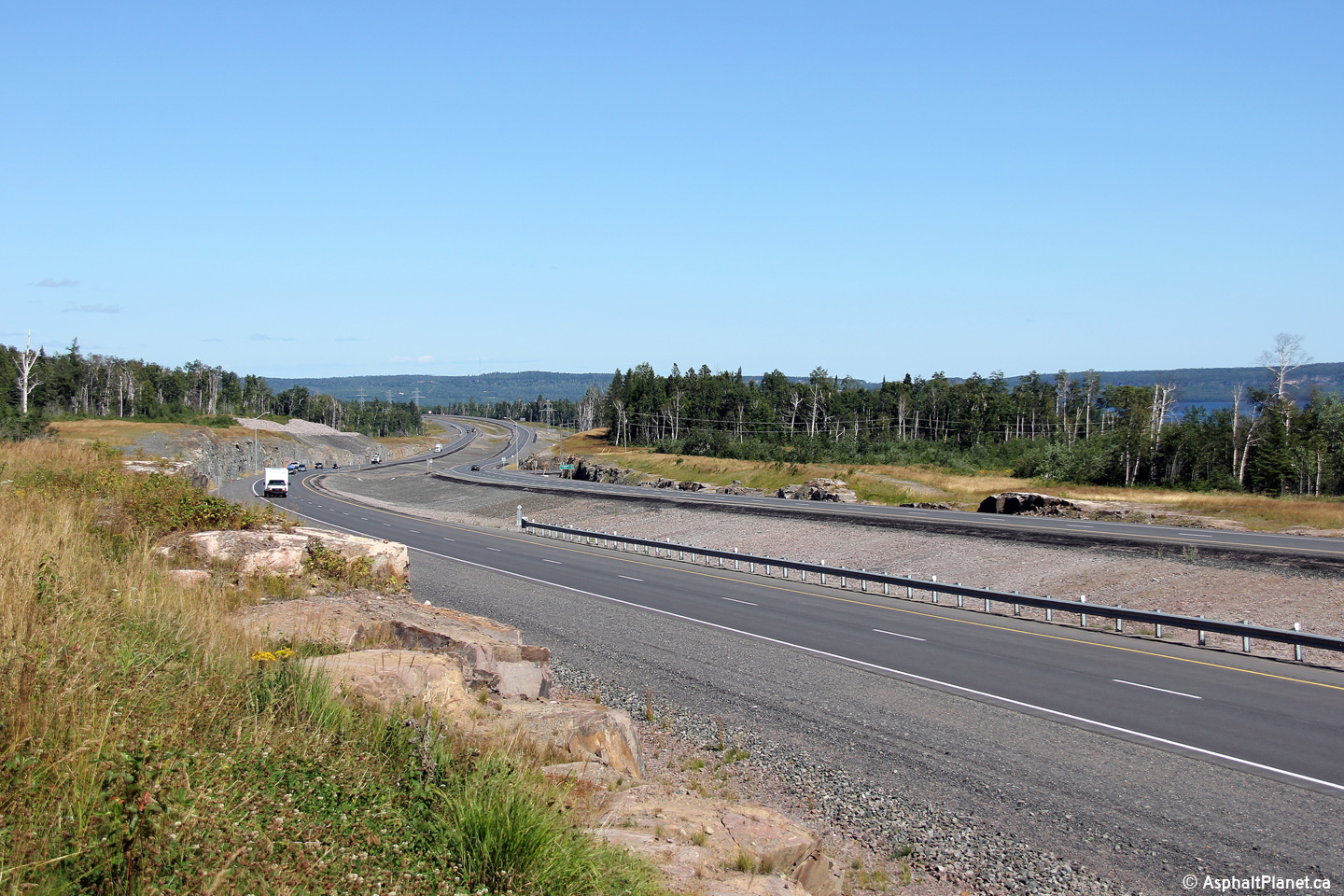
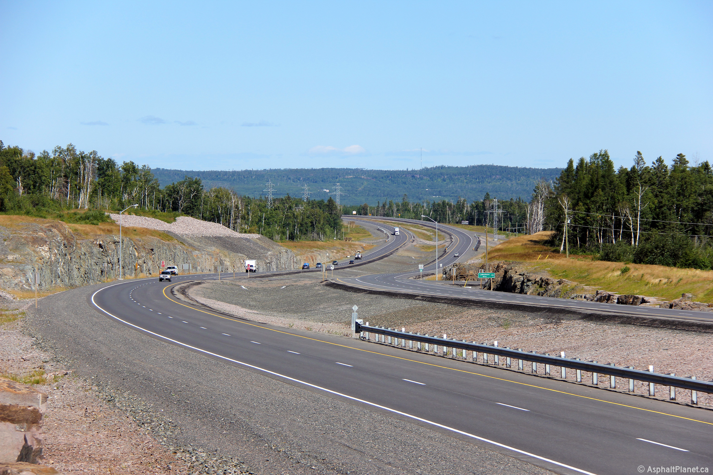
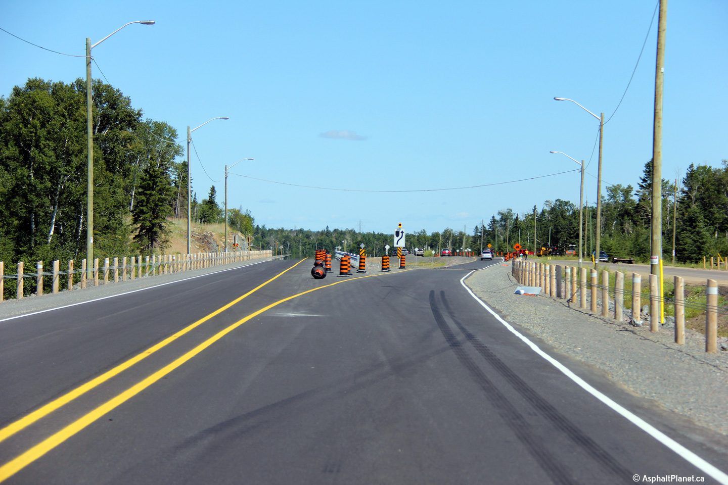
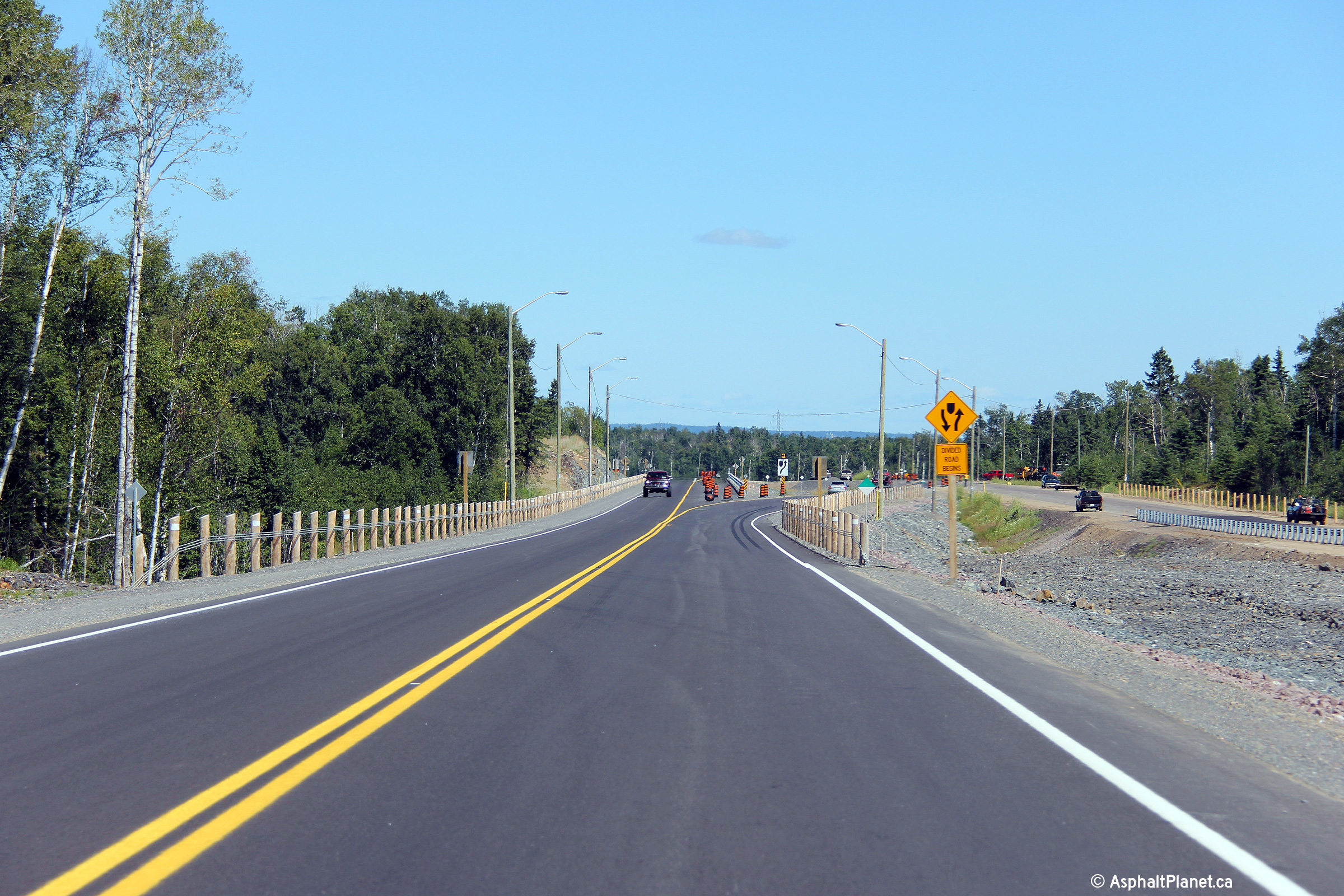
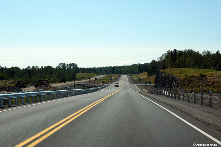
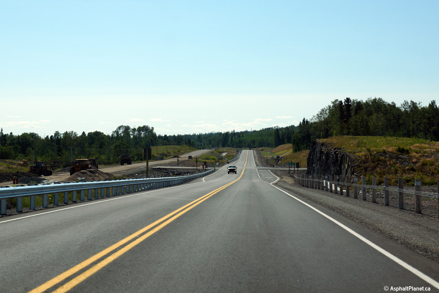
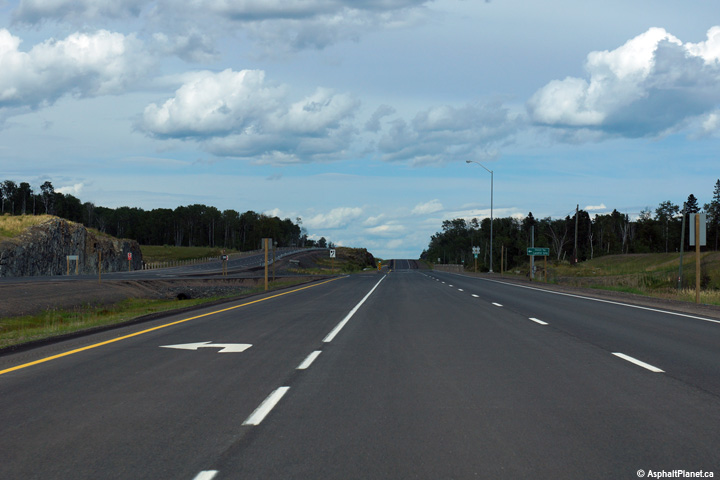
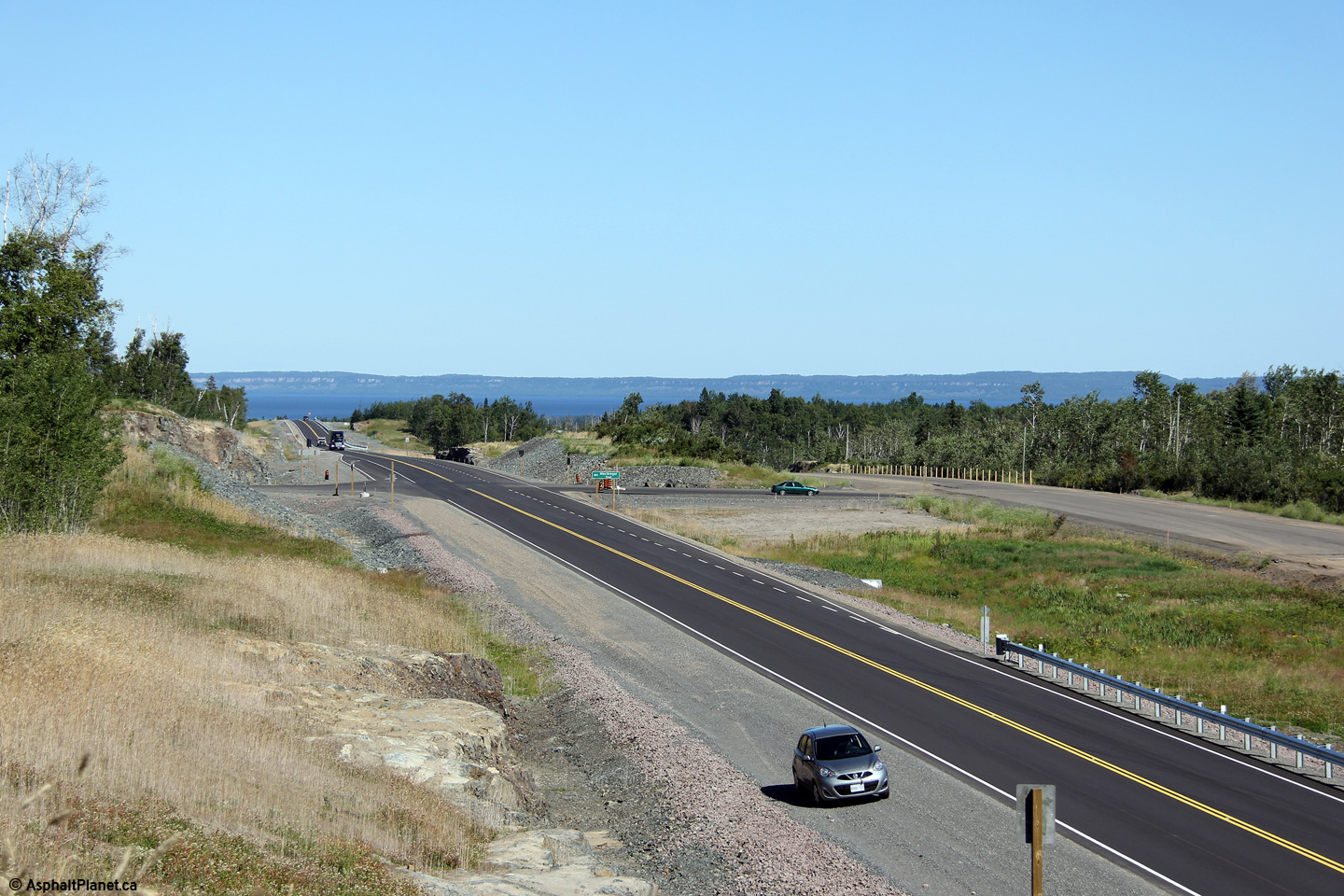
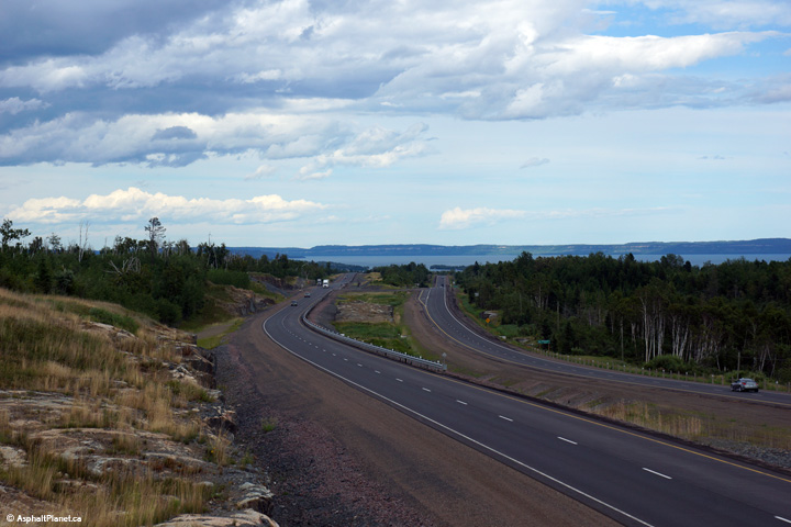
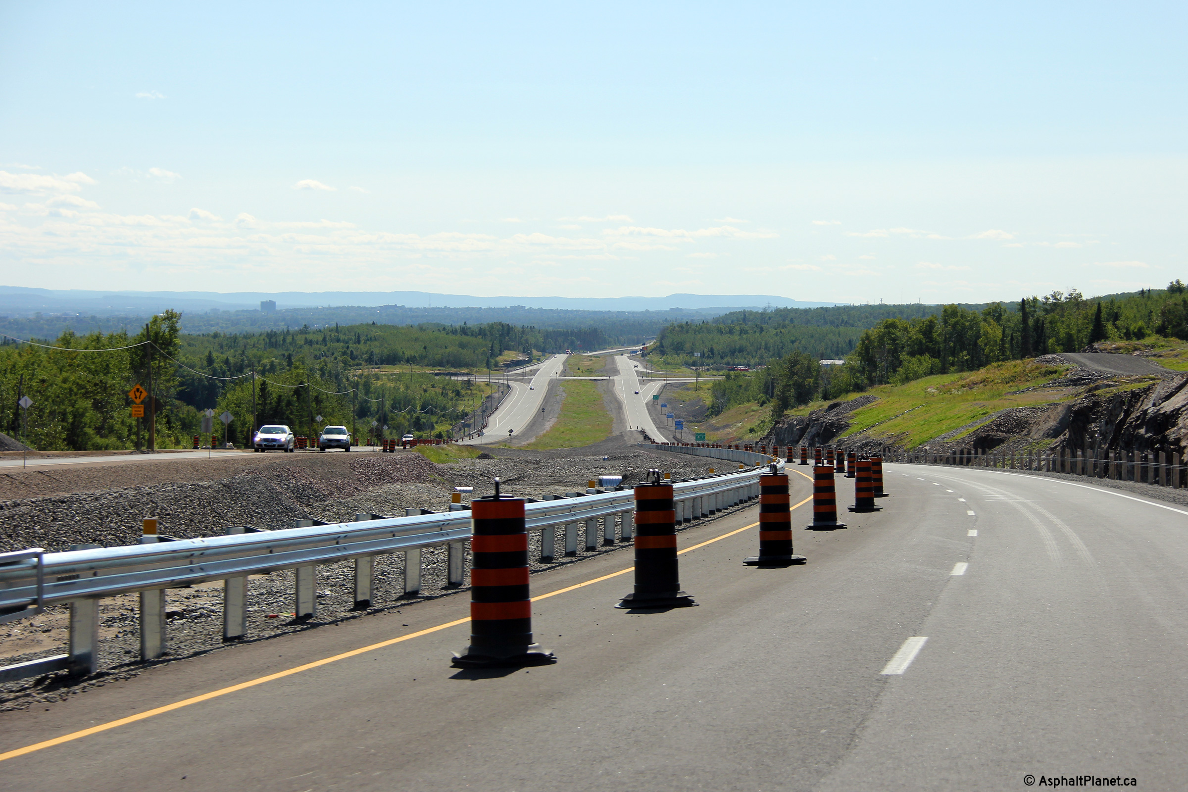
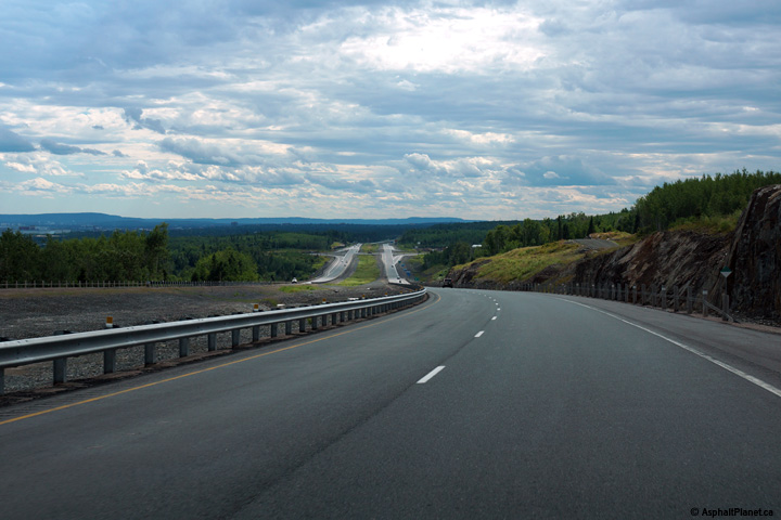
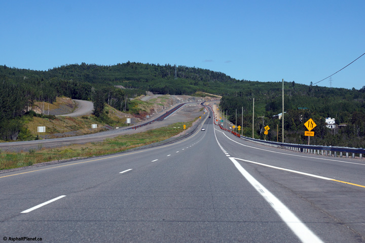
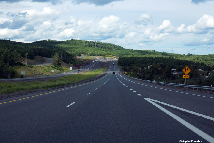
Two views looking westerly towards the start of the divided highway west of
Nelson Road. This portion of Highway 11/17 opened to traffic on
September 26, 2013. The new highway was constructed primarily on a new
alignment located further inland than the former highway. Despite
being a four-land divided highway from this point easterly to Thunder Bay,
the speed limit remains posted at 90km/h.
Photos taken: August 13th, 2014. |
(720x480)
(1440x960)
(2400x1600)
(720x480)
(1440x960)
(2400x1600) |
Municipality of Shuniah
District of Thunder Bay |
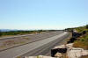
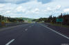
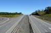
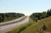
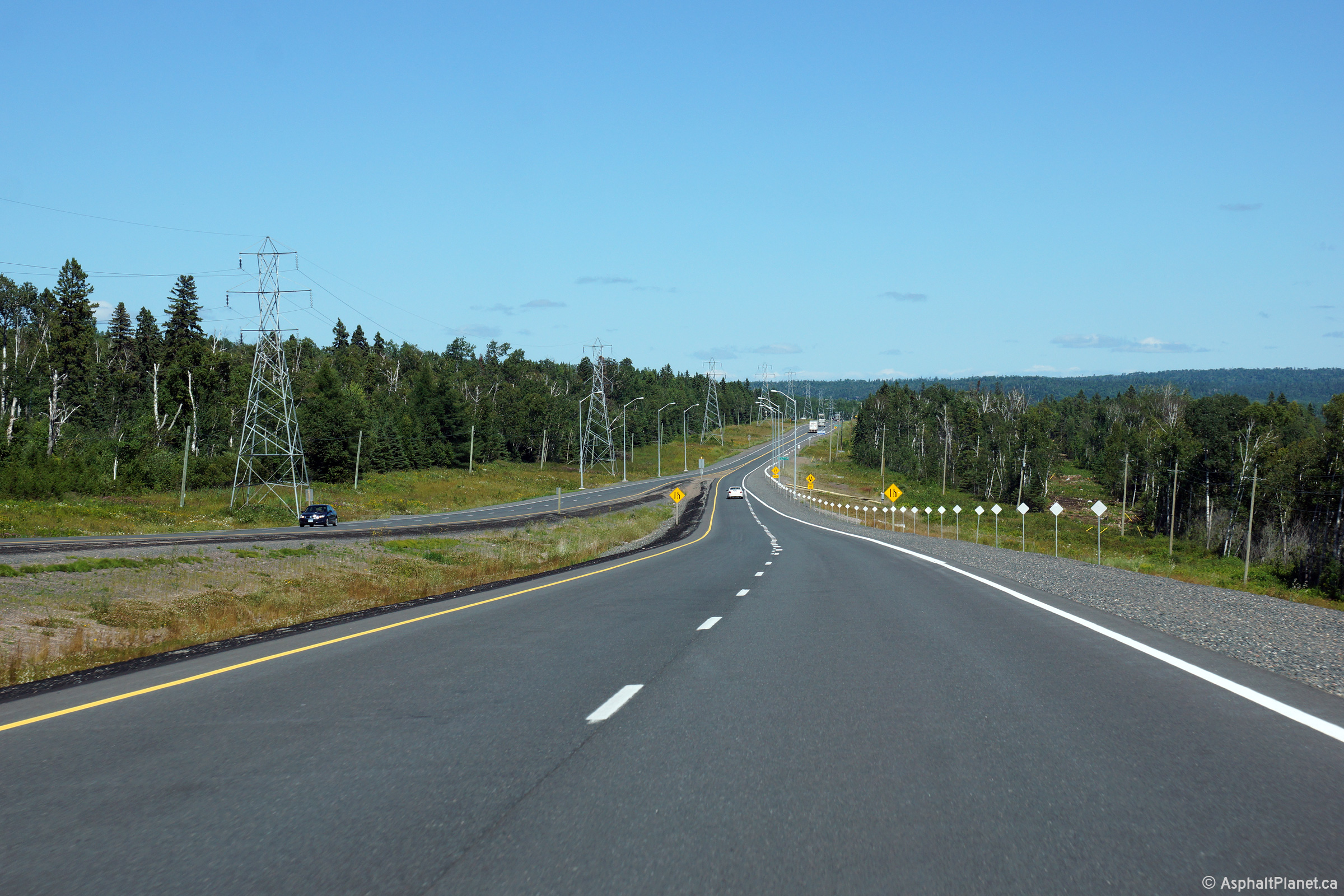
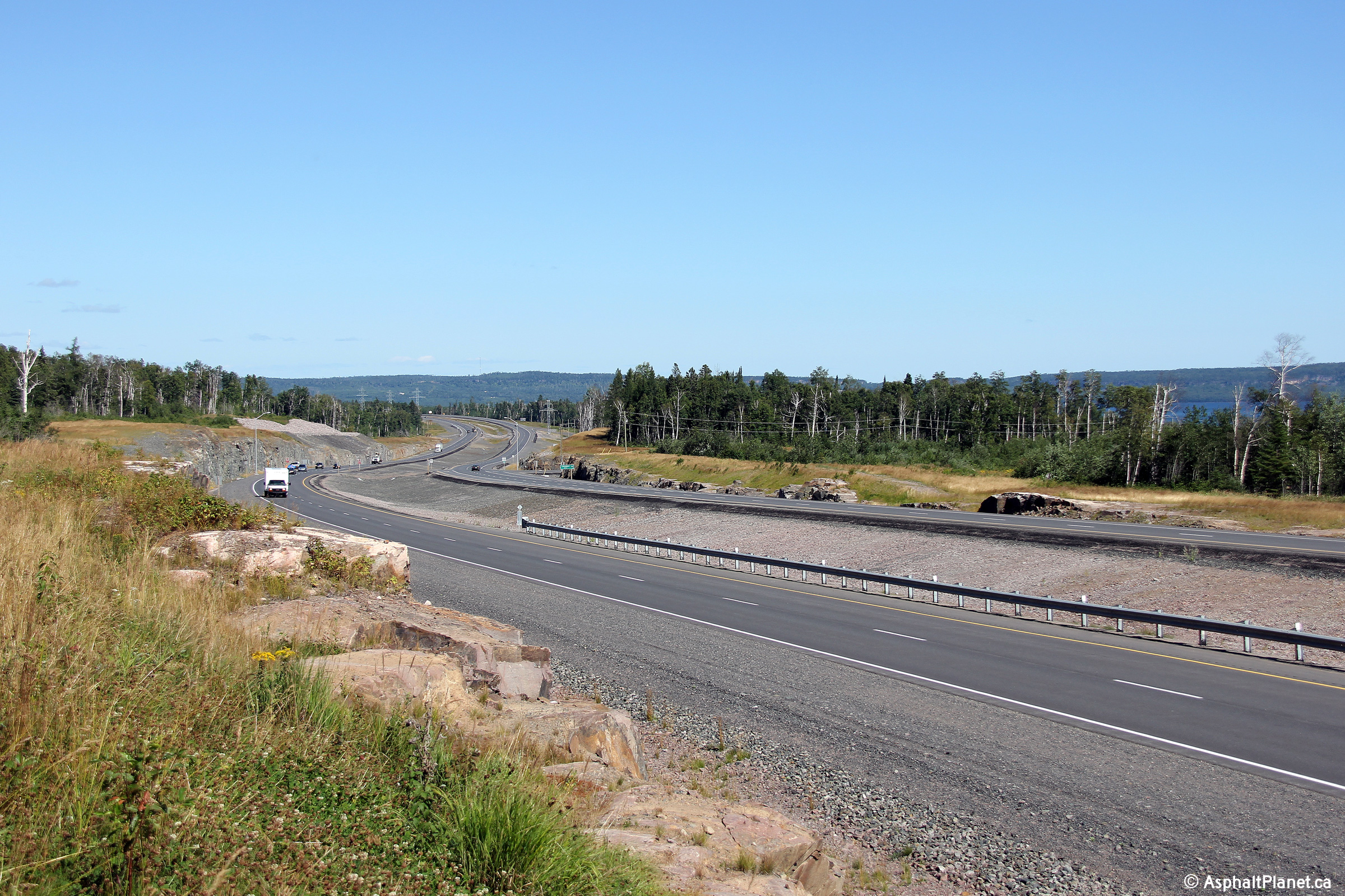
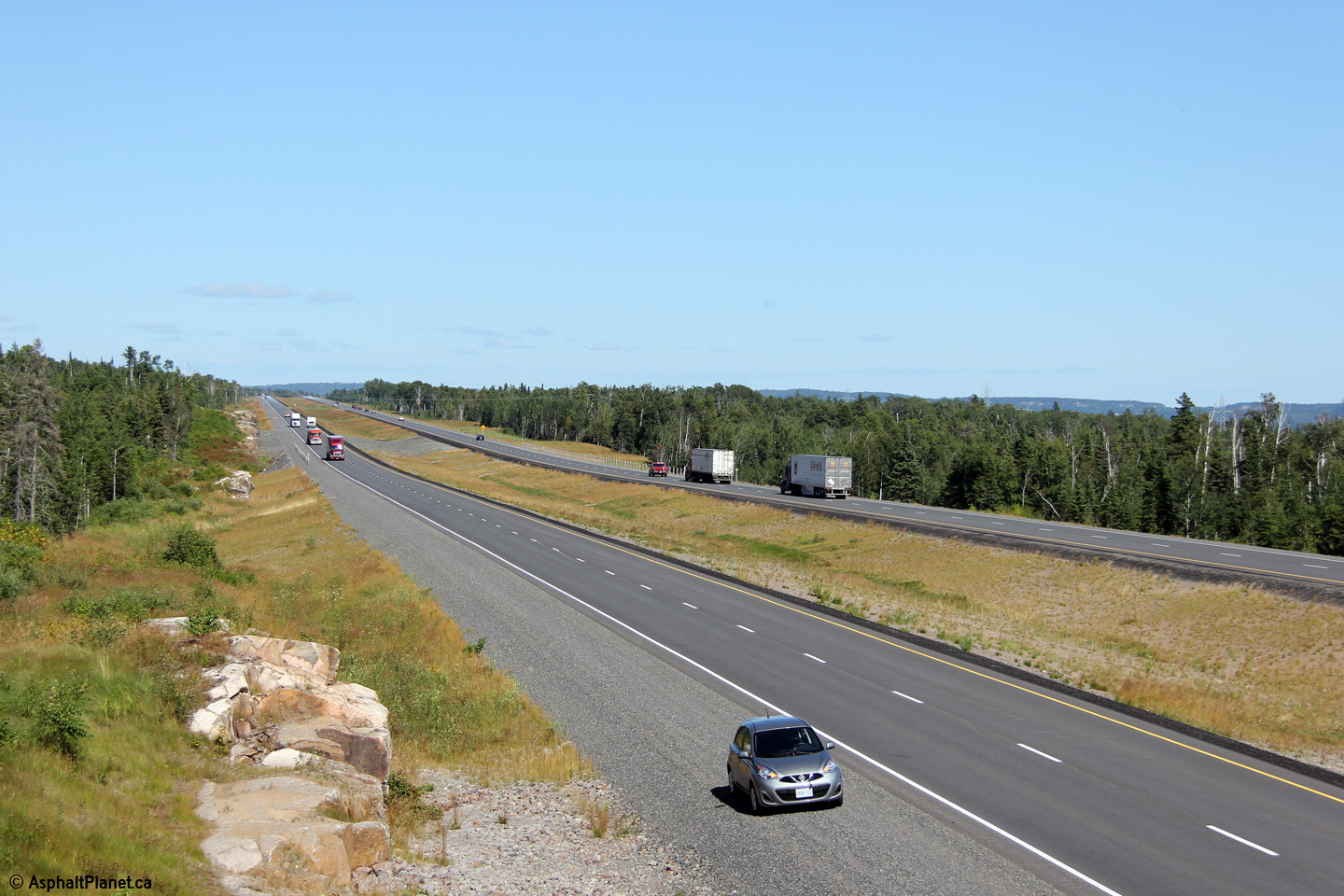
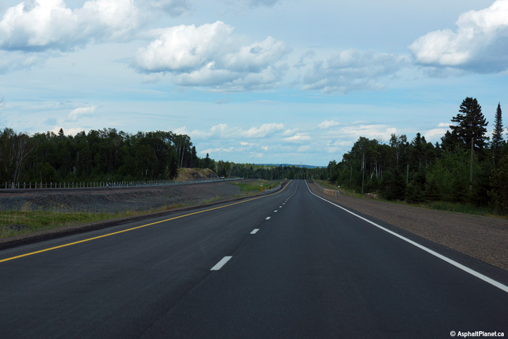
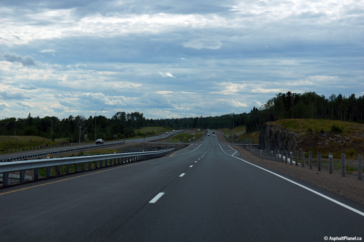
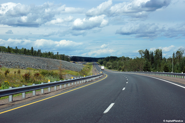
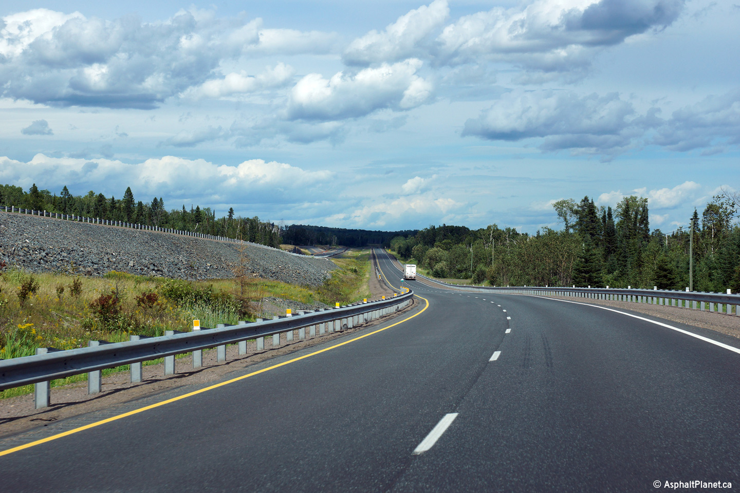
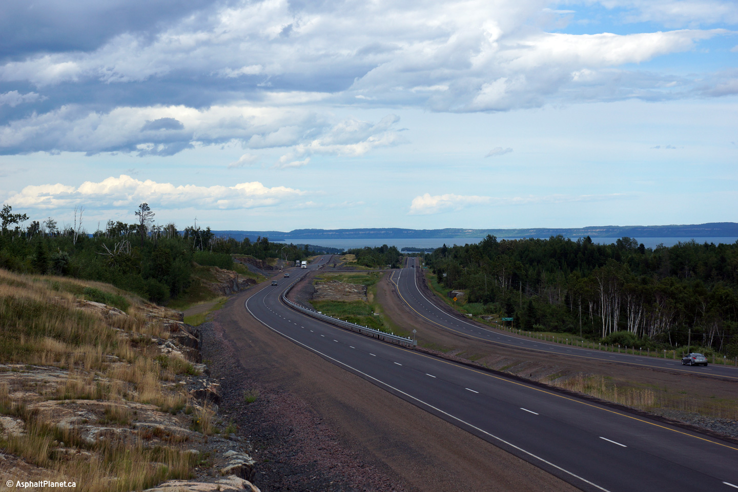
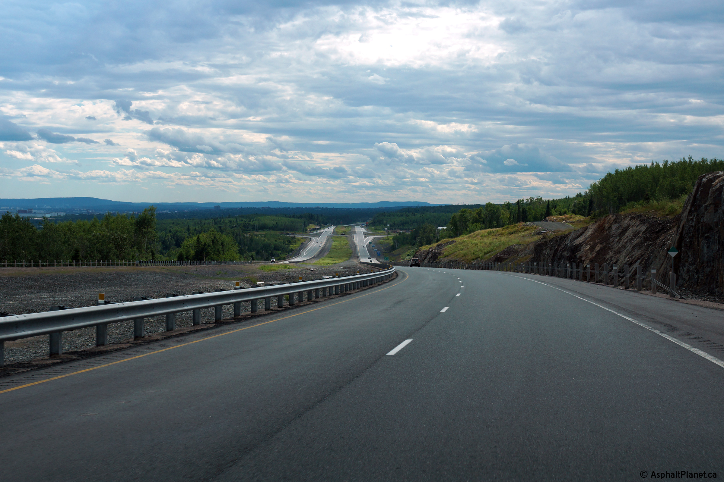
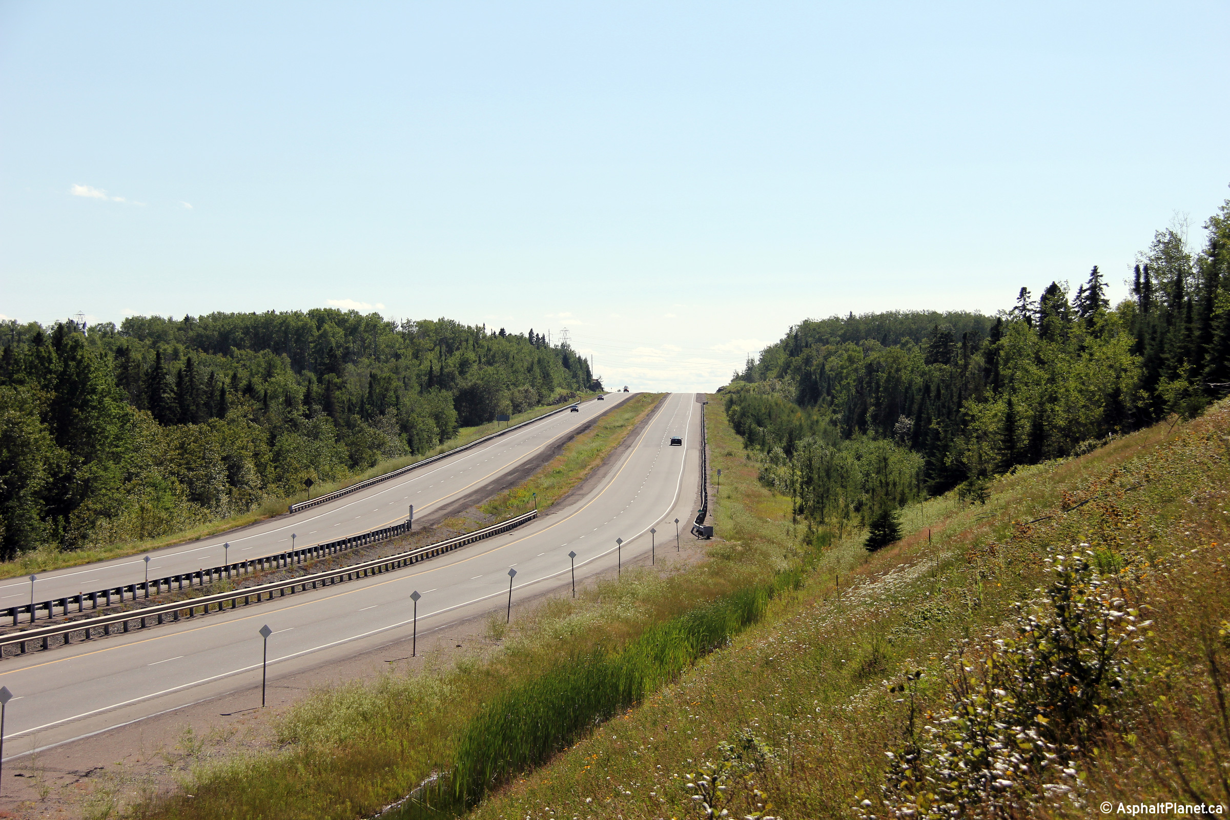
View looking easterly towards Nipigon approaching the eastern end of the
divided highway. Construction is scheduled to commence later this
decade (2010s) to further extend the four lane highway easterly from Thunder
Bay to Nipigon.
Photo taken: August 13th, 2014. |
(720x480)
(1440x960)
(2400x1600) |
Municipality of Shuniah
District of Thunder Bay |
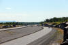
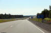
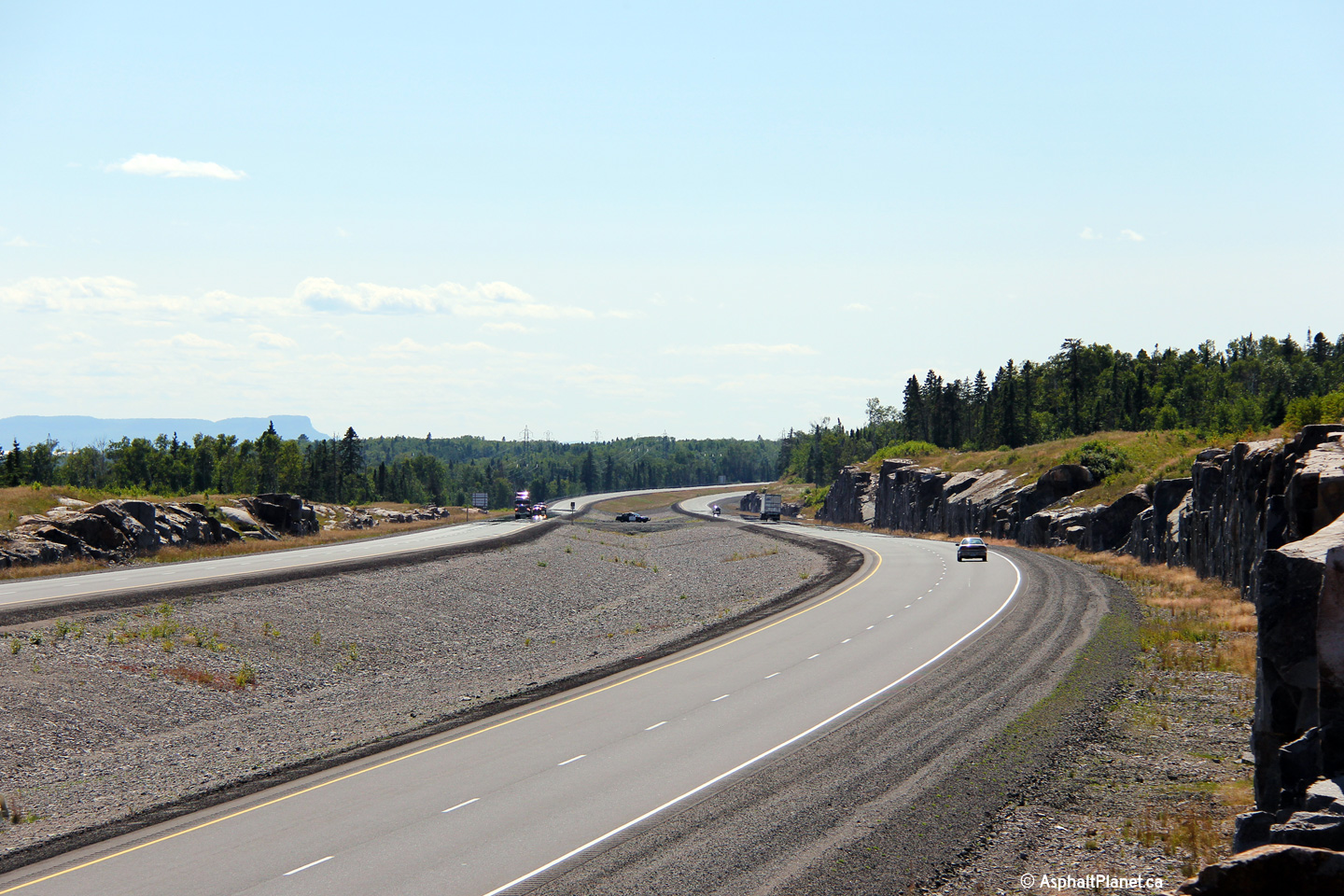
Westerly view as Highway 11/17 nears the Lakeshore Road intersection.
The former alignment of Highway 11/17 can be seen to the left of the current
highway in this photo.
Photo taken: August 13th, 2014. |

(720x480)
(1440x960)
(2400x1600) |
Municipality of Shuniah
District of Thunder Bay |
Two views looking easterly towards Nipigon approaching the Lakeshore Drive
intersection.
Photos taken: August 13th, 2014. |

(720x480)
(1440x960)
(2400x1600)
(720x480)
(1440x960)
(2400x1600) |
Municipality of Shuniah
District of Thunder Bay |
Easterly view along the new divided Highway 11/17 towards Nipigon.
Photo taken: August 13th, 2014. |

(720x480)
(1440x960)
(2400x1600) |
Municipality of Shuniah
District of Thunder Bay |
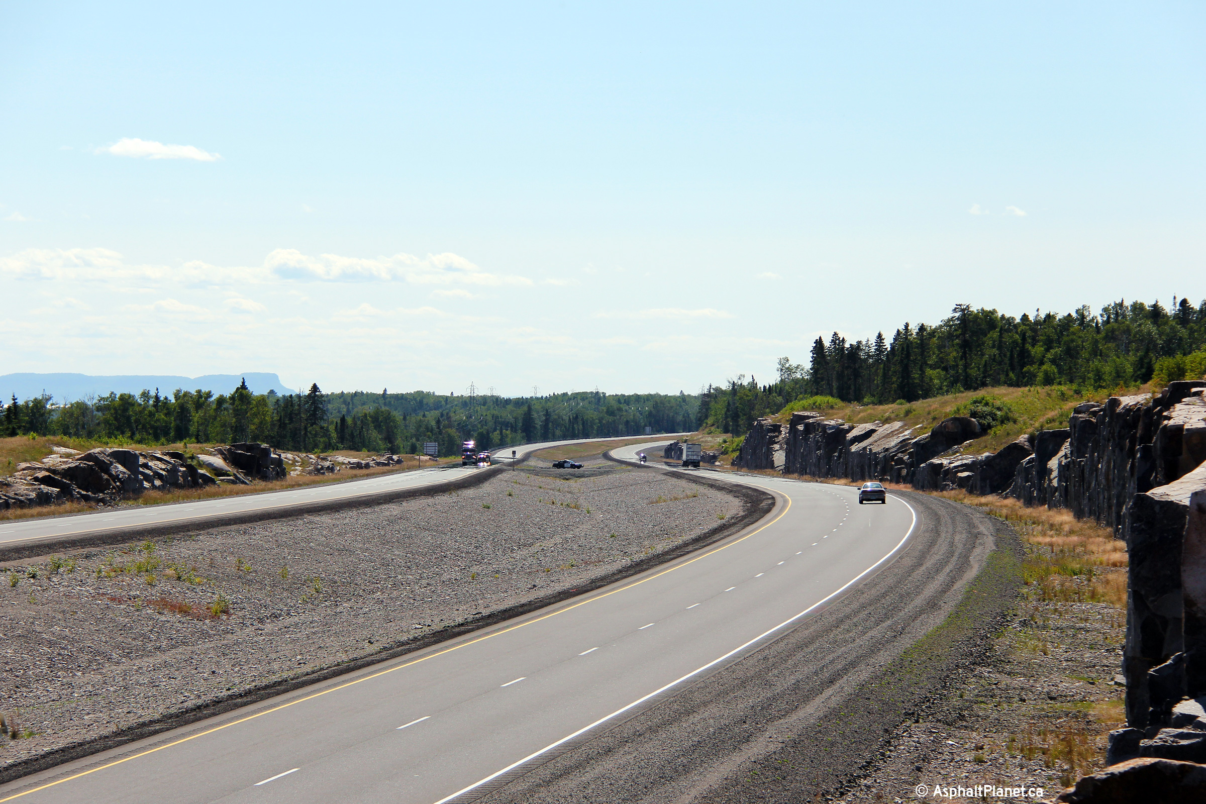
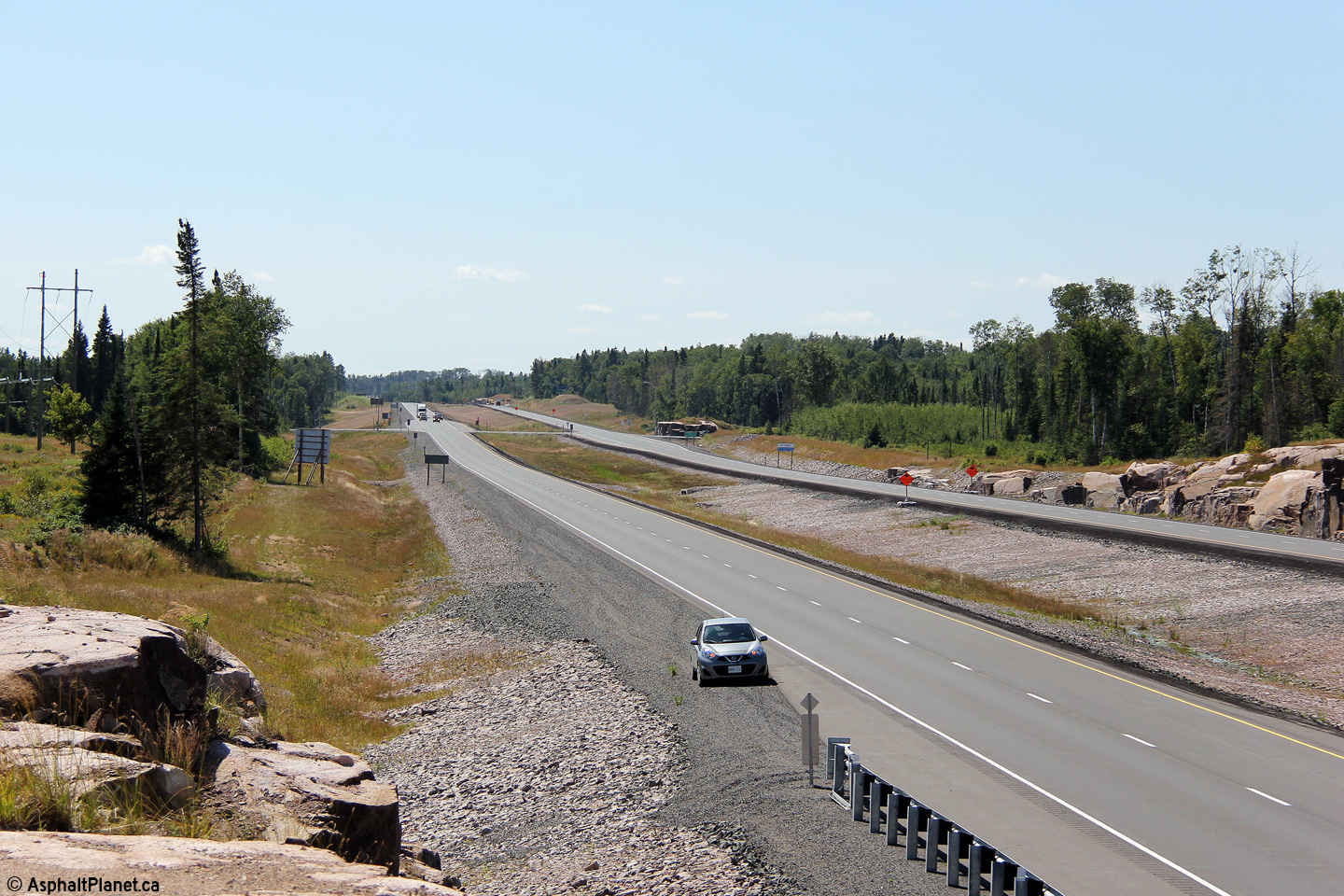
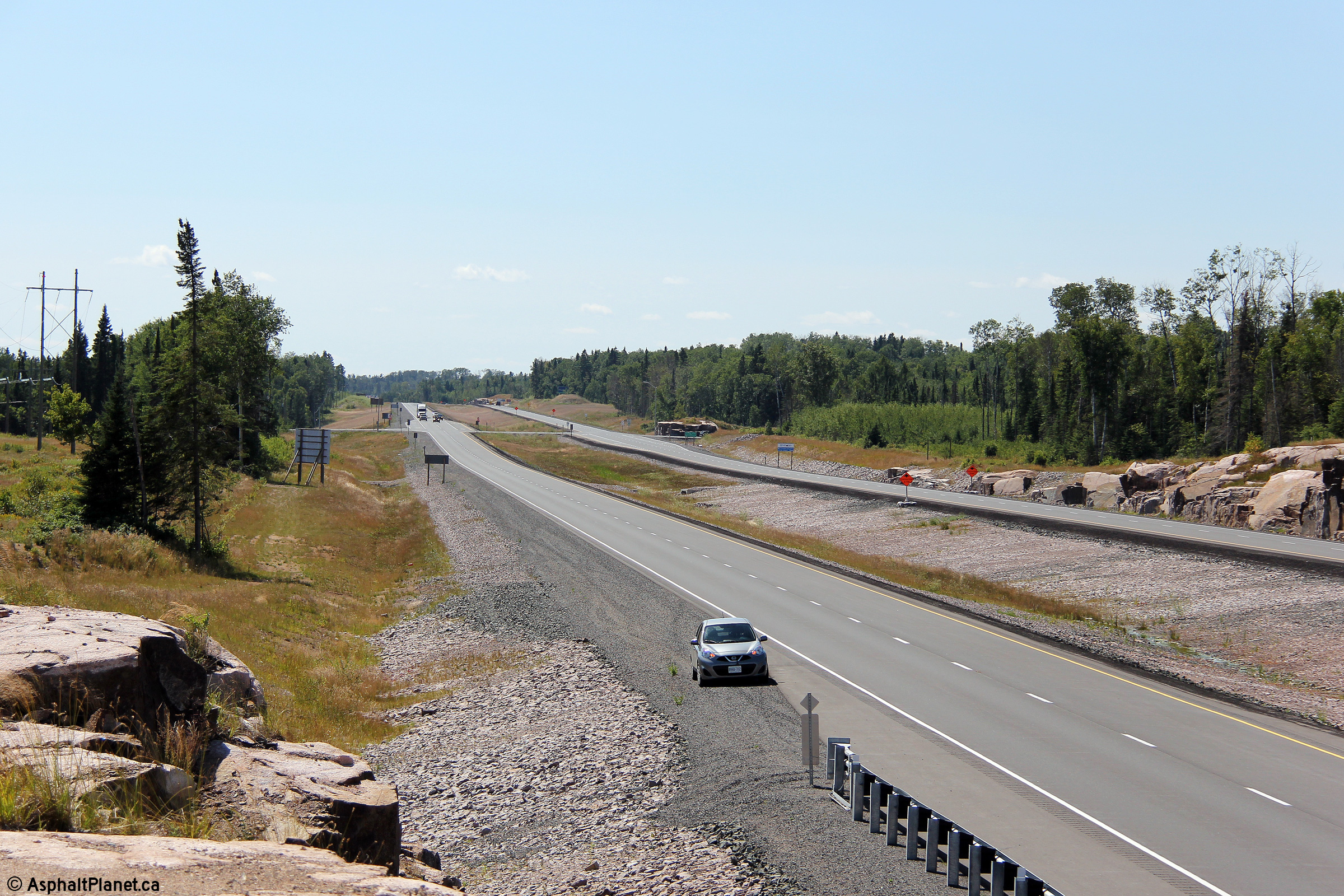
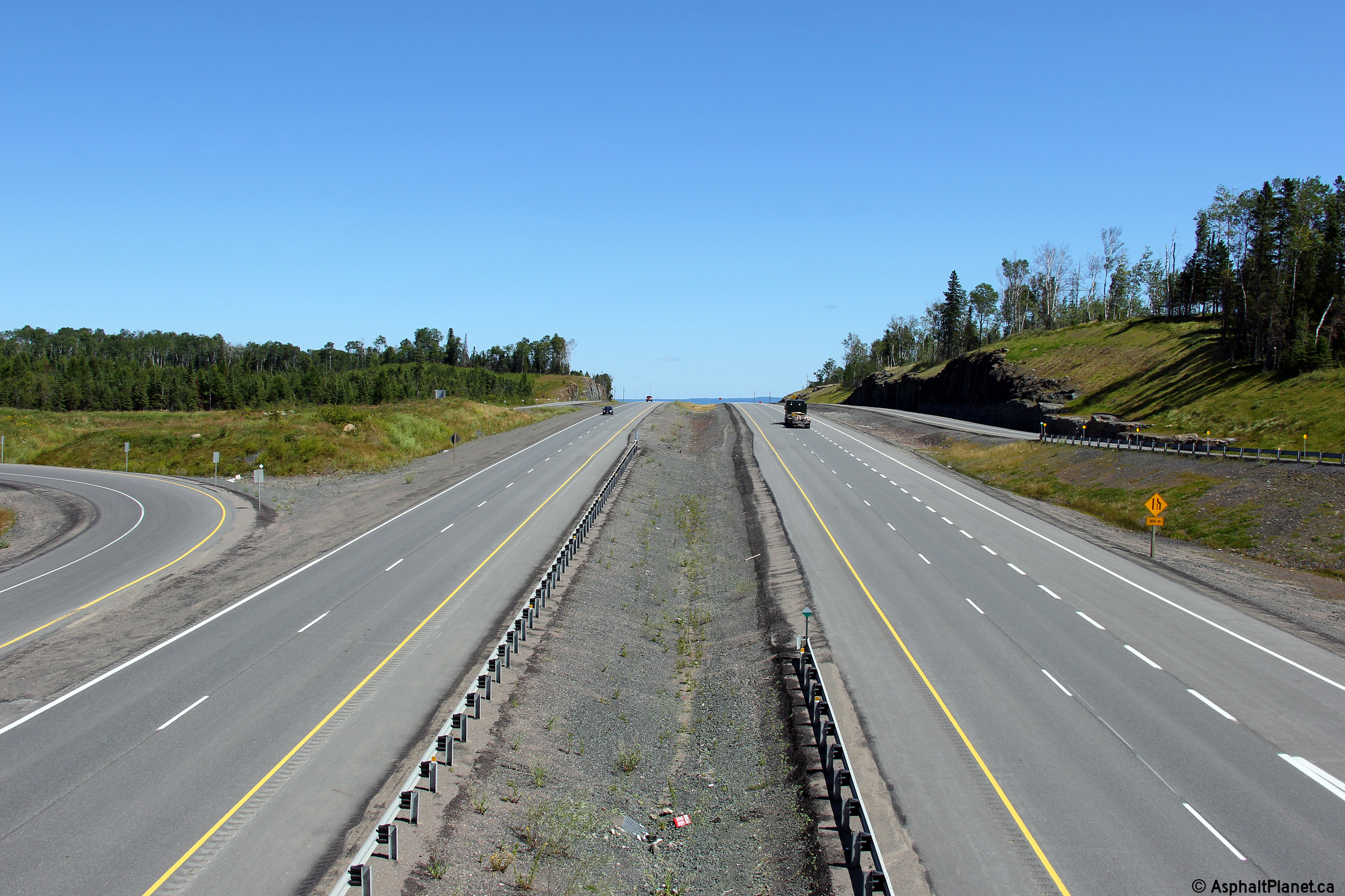
Two views looking westerly towards Thunder Bay several kilometres east of
the Mackenzie River bridge. It is somewhat insulting that an OPP
Officer has chosen this location in order to enforce the rules of the road.
This portion of Highway 11/17 is unquestionably the most modern
and high standard portion of highway in all of northwestern Ontario.
Photo taken: August 13th, 2014. |
(720x480)
(1440x960)
(2400x1600)
(720x480)
(1440x960)
(2400x1600) |
Municipality of Shuniah
District of Thunder Bay |
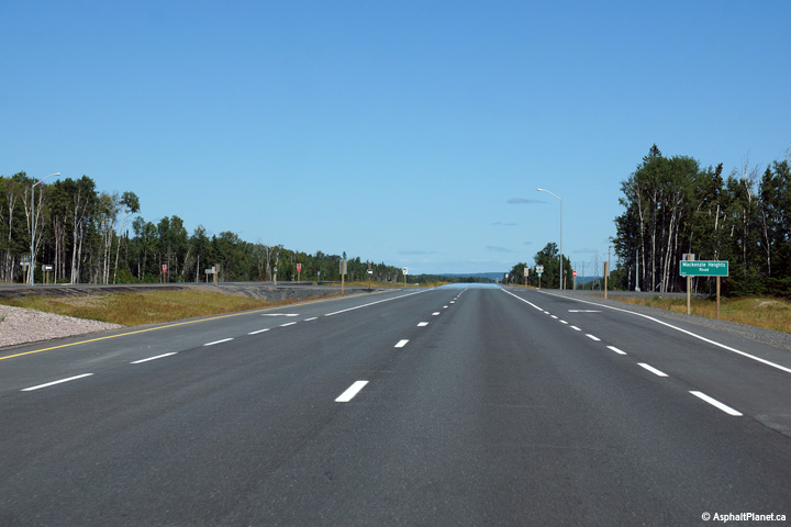
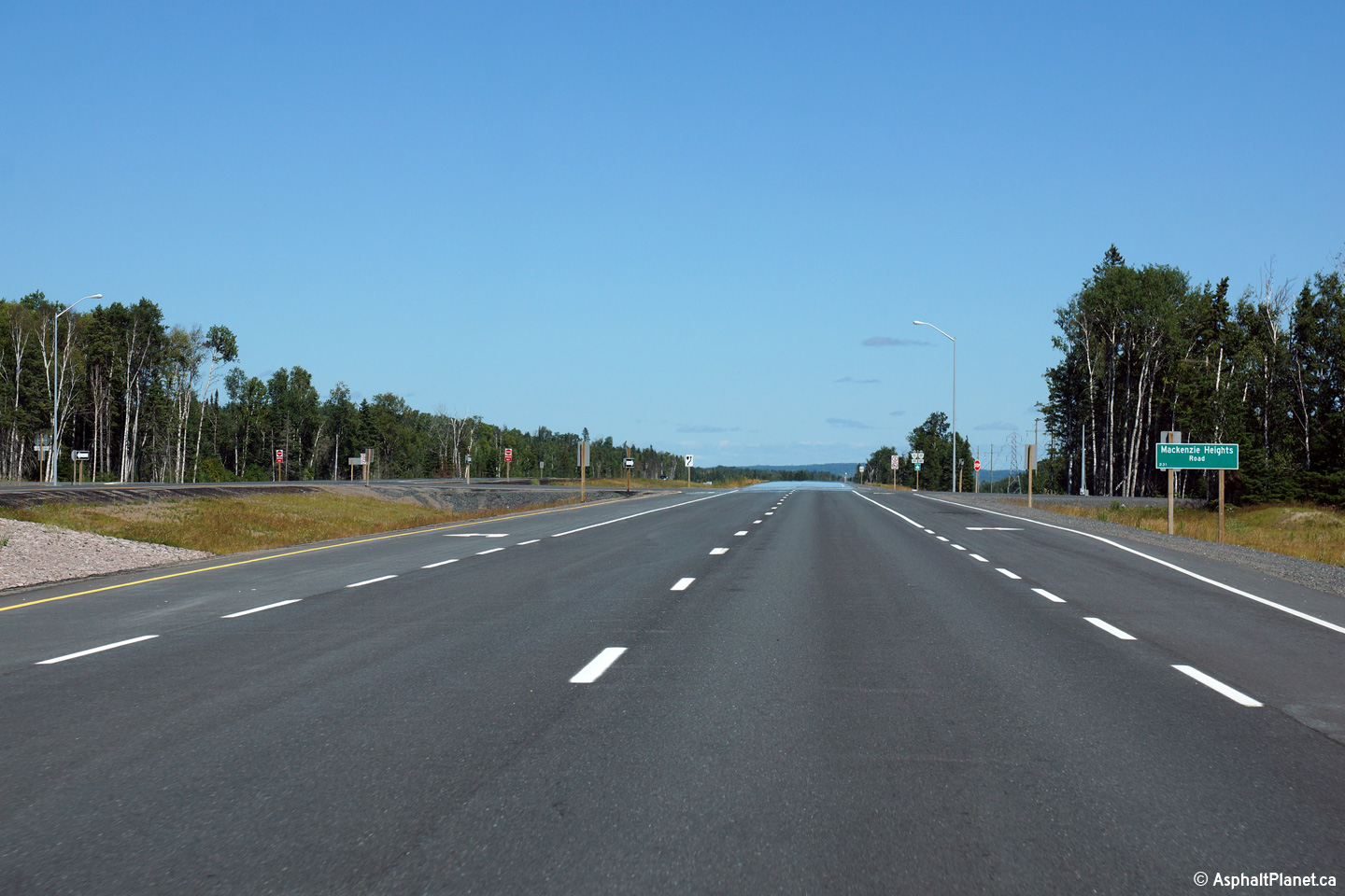
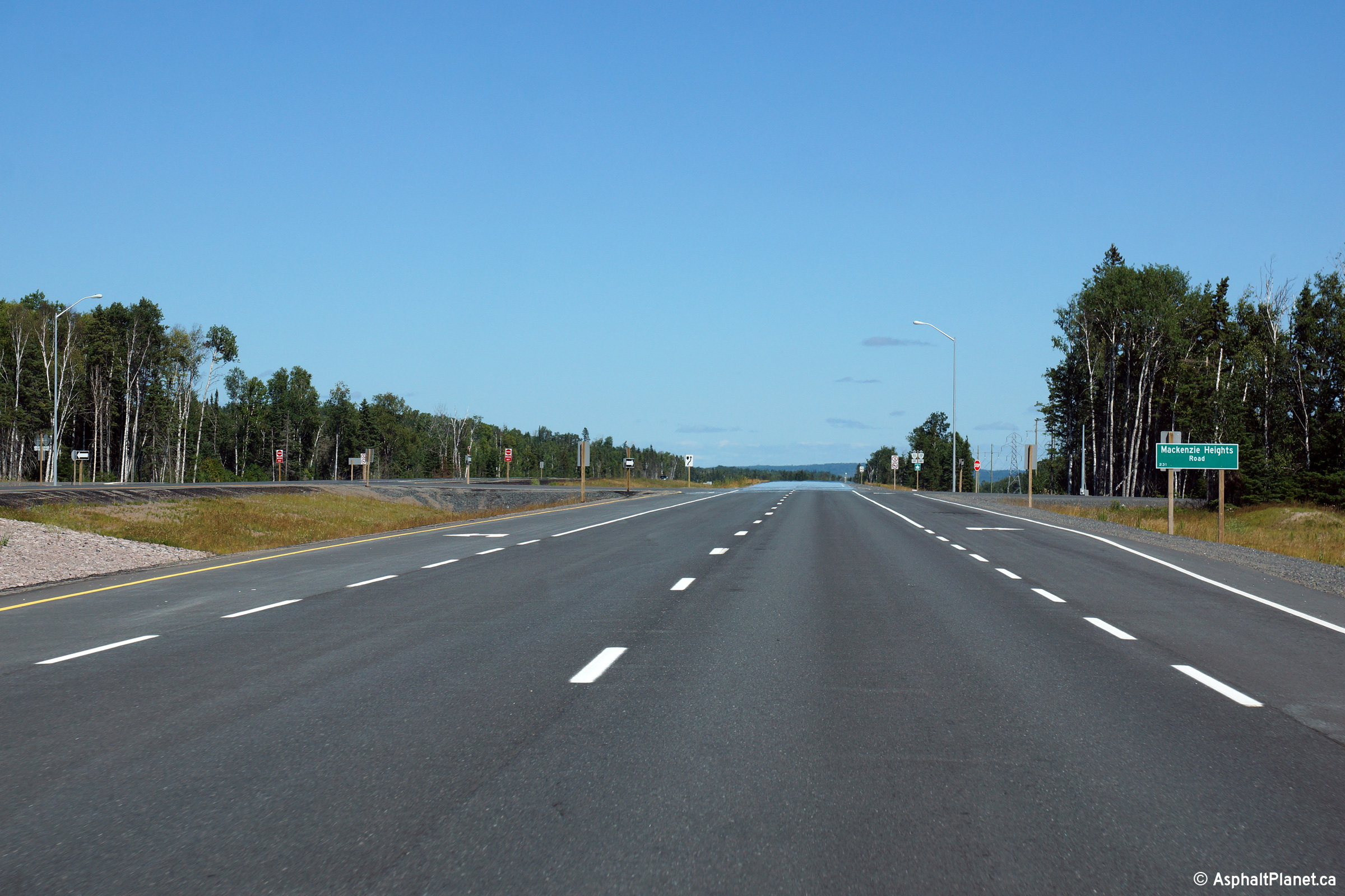
Easterly view approaching the Mackenzie Heights Road intersection.
Photo taken: August 13th, 2014. |
(720x480)
(1440x960)
(2400x1600) |
Municipality of Shuniah
District of Thunder Bay |
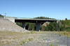
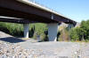
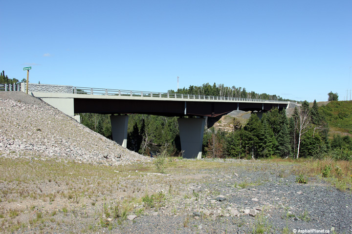
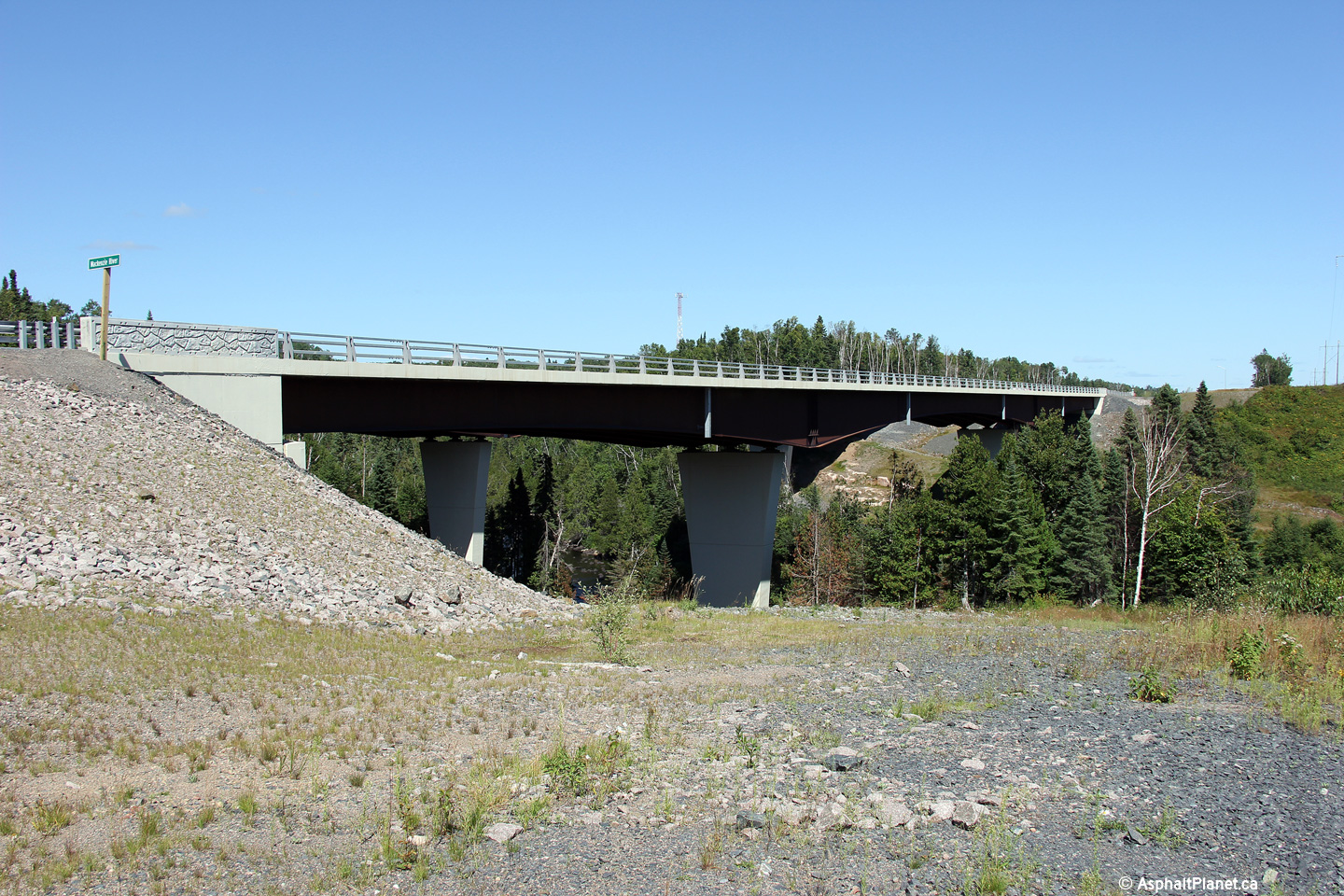
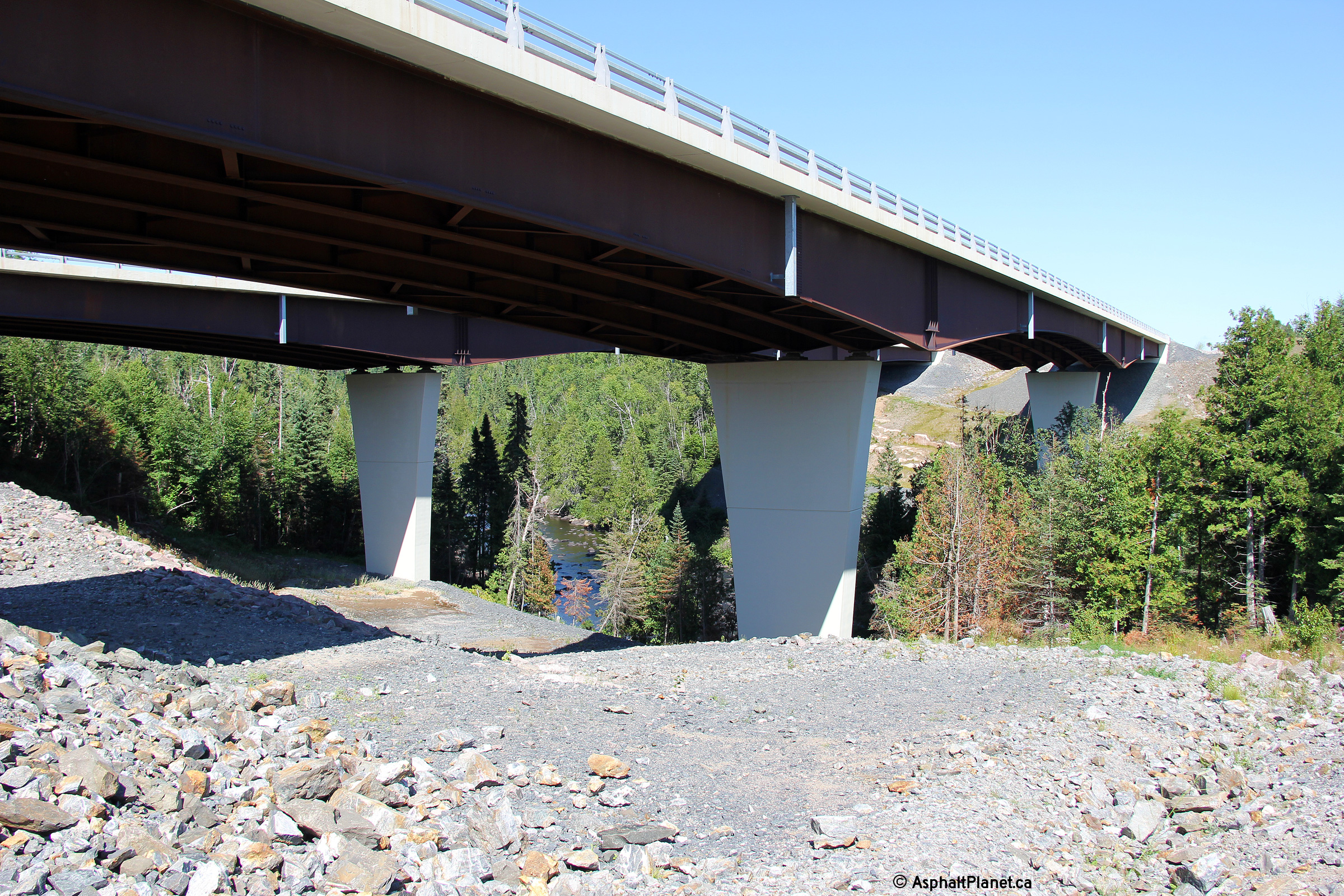
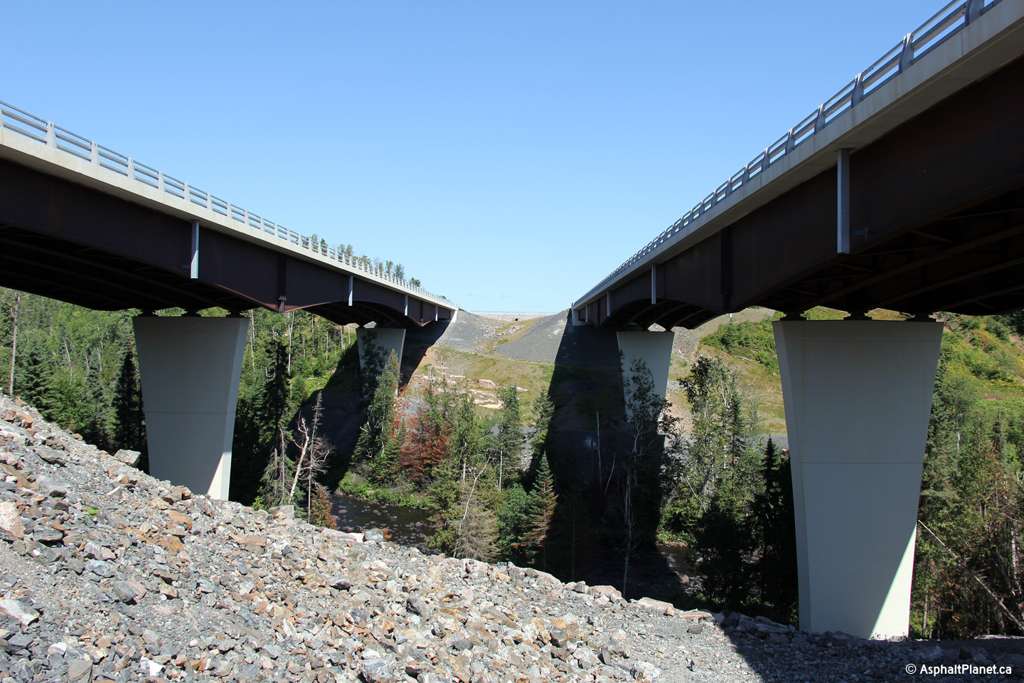
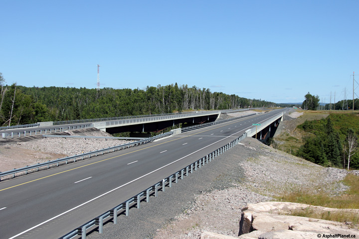
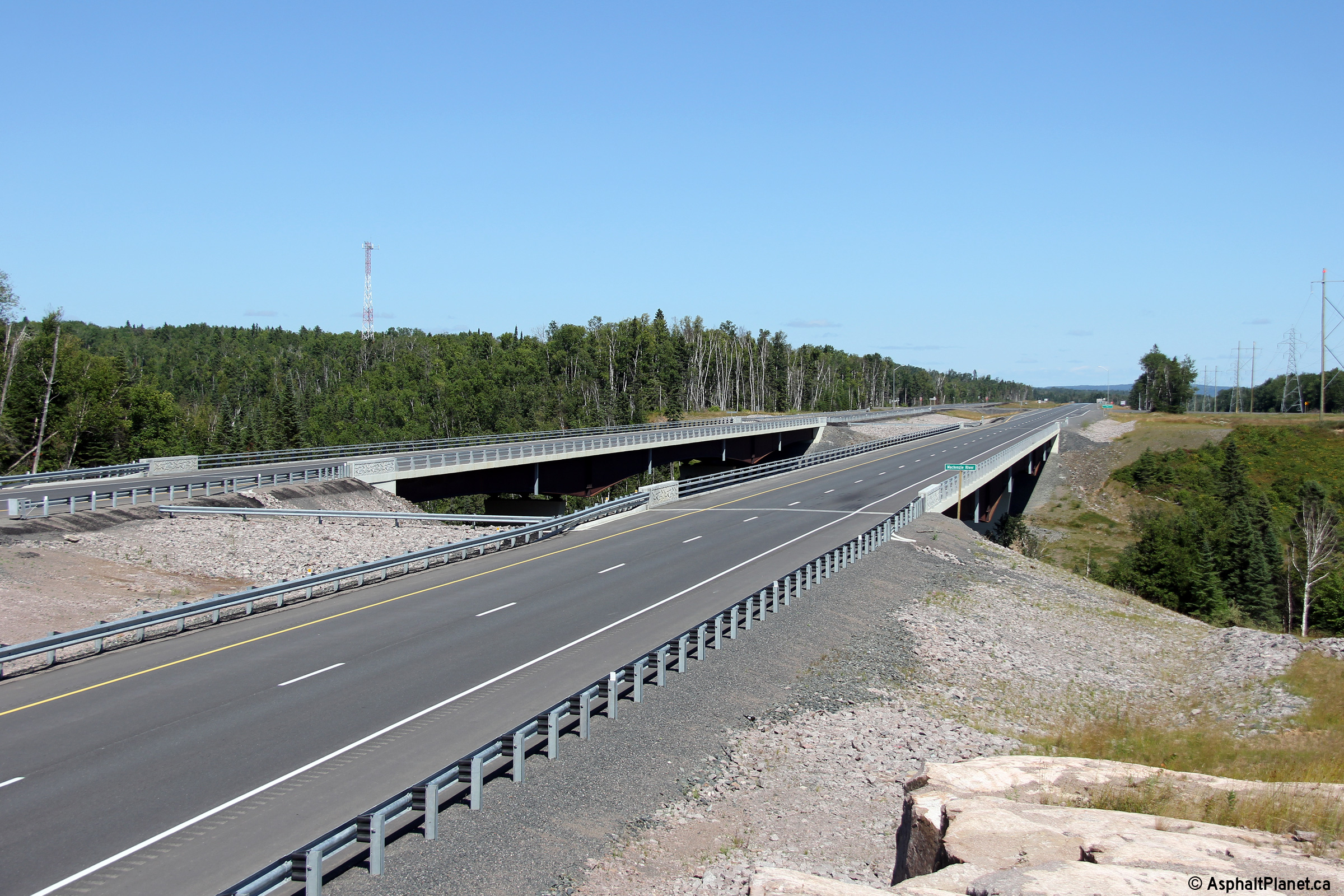
A series of views of the new Mackenzie River Bridge. These massive
twin haunched steel girder bridges were completed in 2013 as part of a
larger highway realignment project. The twin bridges are 180m in
length and allow the newly twinned highway to cross the deep Mackenzie River
gorge with minimal vertical deflection to the highway's alignment. The new
Mackenzie River bridges were constructed using an innovative pre-cast
concrete deck. Deck segments were poured off-site and then trucked to
the bridge construction site where they were erected into place using large
cranes. The deck segments were finally anchored together using a
special field set concrete. The use of pre-cast concrete bridge decks
has grown in popularity in recent years.
Photos taken: August 13th, 2014. |
(720x480)
(1440x960)
(2400x1600)
(720x480)
(1440x960)
(2400x1600)

(720x480)
(1440x960)
(2400x1600) |
Municipality of Shuniah
District of Thunder Bay |
Deck view looking easterly towards the twin Mackenzie River bridges.
Photo taken: August 13th, 2014. |

(720x480)
(1440x960)
(2400x1600) |
Municipality of Shuniah
District of Thunder Bay |
Westerly view towards the Mackenzie Station Road intersection from just west
of the Mackenzie River bridge.
Photo taken: August 13th, 2014. |
(720x480)
(1440x960)
(2400x1600) |
Municipality of Shuniah
District of Thunder Bay |
Easterly view approaching the Mackenzie Station Road intersection.
Photo taken: August 13th, 2014. |
(720x480)
(1440x960)
(2400x1600) |
Municipality of Shuniah
District of Thunder Bay |
Two views looking easterly along Highway 11/17 from just west of Mackenzie Station
Road.
Upper photo taken: August 13th, 2014.
Lower photo taken: August 1st, 2015. |
(720x480)
(1440x960)
(2400x1600) |
Municipality of Shuniah
District of Thunder Bay |
The upper photos show an easterly view approaching the start of the divided highway
when the divided highway resumed just west of Mackenzie Station Road.
The lower photo was taken after the highway twinning project had been
completed.
Upper photos taken: August 13th, 2014.
Lower photos taken: August 1st, 2015. |

(720x480)
(1440x960)
(2400x1600) |
Municipality of Shuniah
District of Thunder Bay |
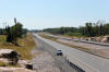
Two views looking westerly towards the intersection with the access road to
the Shuniah Township Landfill site. The upper photo was taken in 2014
a few weeks before the twinning of Highway 11/17 was completed. The
2015 photo shows the completed highway. The eastbound and westbound
lanes follow independent vertical alignments through much of western Shuniah
Township.
Upper photo taken: August 14th, 2014.
Lower photo taken: August 1st, 2015. |

(720x480)
(1440x960)
(2400x1600) |
Municipality of Shuniah
District of Thunder Bay |
View looking westerly approaching the access road to the Shuniah Township
Landfill Site.
Photo taken: August 1st, 2015. |
(720x480)
(1440x960)
(2400x1600) |
Municipality of Shuniah
District of Thunder Bay |
This view looks westerly. A westbound parking area has been roughed in
approaching Thunder Bay between the Shuniah Township Landfill Site and the
CPR underpass.
Photo taken: August 1st, 2015. |
(720x480)
(1440x960)
(2400x1600) |
Municipality of Shuniah
District of Thunder Bay |
View looking easterly along Highway 11/17 just east of the the CPR
underpass. The westbound lanes follow a very different alignment overtop of
the CPR compared to the pictured eastbound.
Photo taken: August 1st, 2015. |
(720x480)
(1440x960)
(2400x1600) |
Municipality of Shuniah
District of Thunder Bay |
Easterly view as Highway 11/17 passes overtop of the CPR overpass.
Somewhat surprisingly, the 1970s era CPR underpass was not significantly
reconstructed during the recent highway twinning project.
Photo taken: August 1st, 2015. |
(720x480)
(1440x960)
(2400x1600) |
Municipality of Shuniah
District of Thunder Bay |
Two views looking easterly approaching the MacGregor Road intersection.
Despite being constructed during the early 1970s, the original alignment of
Highway 11/17 (today's eastbound lanes) has a considerably more undulating
alignment than the modern 2010s westbound carriageway. Though the
eastbound lanes were reconstructed during the last phase of the highway
twinning project, no significant modifications were made to the pre-existing
highway's geometry.
Upper photo taken: August 13th, 2014.
Lower photo taken: August 1st, 2015. |
(720x480)
(1440x960)
(2400x1600) |
Municipality of Shuniah
District of Thunder Bay |
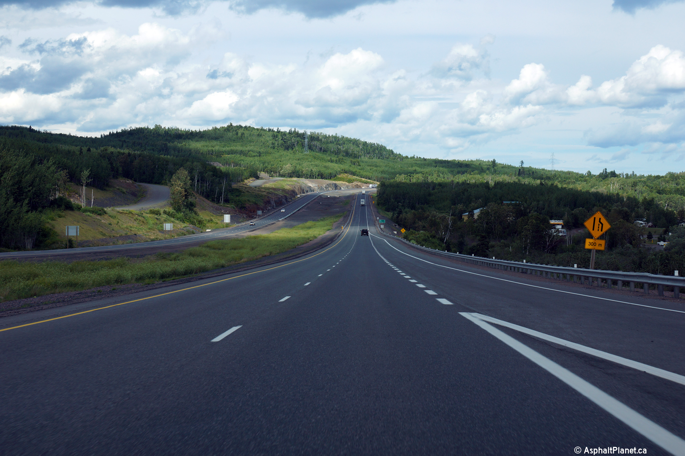
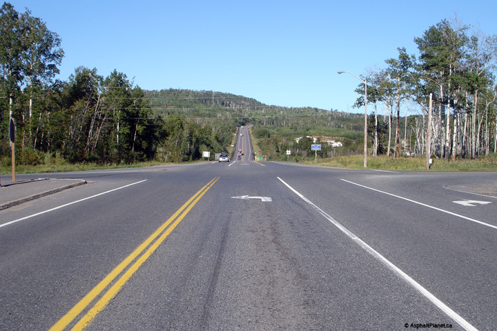
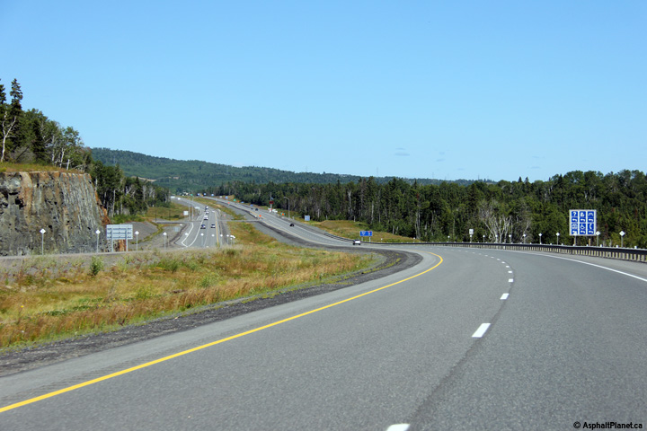
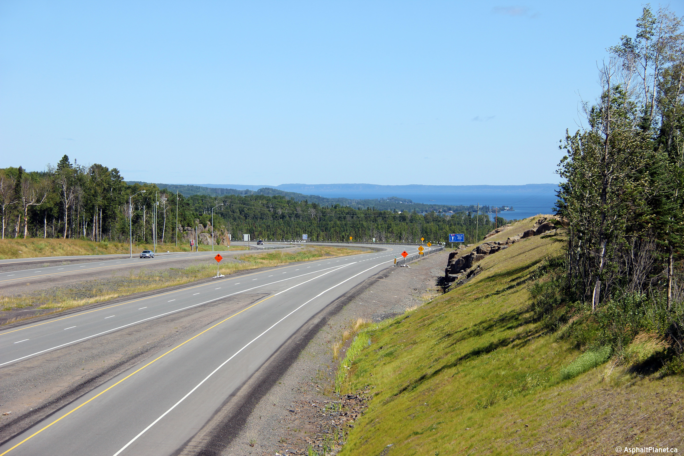
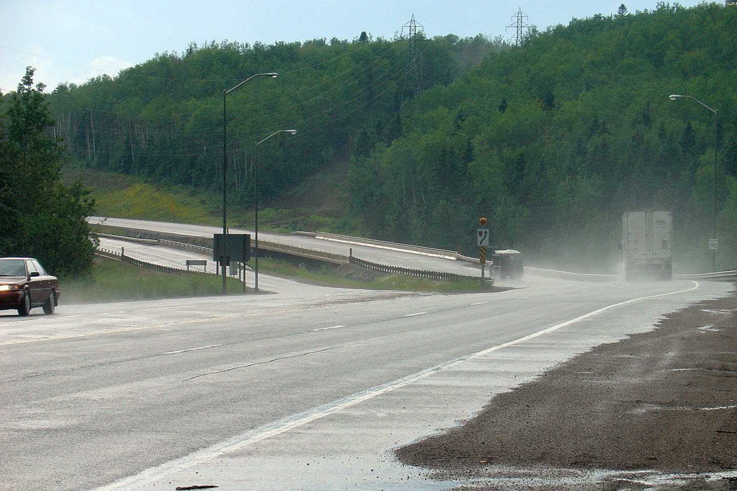
A series of three views looking westerly as Highway 11/17 begins its decent
down the large hill before the Highway 527 intersection. The upper
photo shows the highway before construction had been completed to widen the
highway to four lanes. The eastbound (opposing) lanes carried
bidirectional traffic before construction was started to widen the highway.
The lower two photos show the highway once construction had been completed
to four lane the highway. Westbound motorists are treated to a scenic view
of Lake Superior as they descend down this large hill.
Upper photo taken: August 13th, 2014.
Lower photos taken: August 1st, 2015. |

(720x480)
(1440x960)
(2400x1600)
(720x480)
(1440x960)
(2400x1600) |
Municipality of Shuniah
District of Thunder Bay |
A series of three views looking easterly as Highway 11/17 climbs up onto a
high ridge east of the Highway 527 junction. The upper photo shows the
highway several years before construction was started to widen this portion
of the Trans-Canada Highway to four lanes. The middle photo shows a
view of the highway after Highway 11/17 had been widened to four lanes from
Thunder Bay easterly to just east of Highway 527. The lower photo
shows the highway once construction to four lane Highway 11/17 easterly from
Highway 527 had been completed.
Upper photo taken: August 30th, 2006.
Middle photo taken: August 13th, 2014.
Lower photo taken: August 1st, 2015. |
(720x480)
(1440x960)
(2400x1600) |
Municipality of Shuniah
District of Thunder Bay |
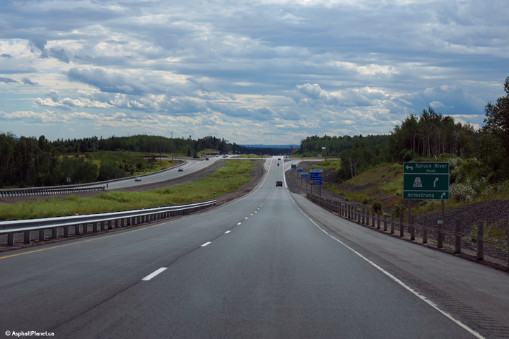
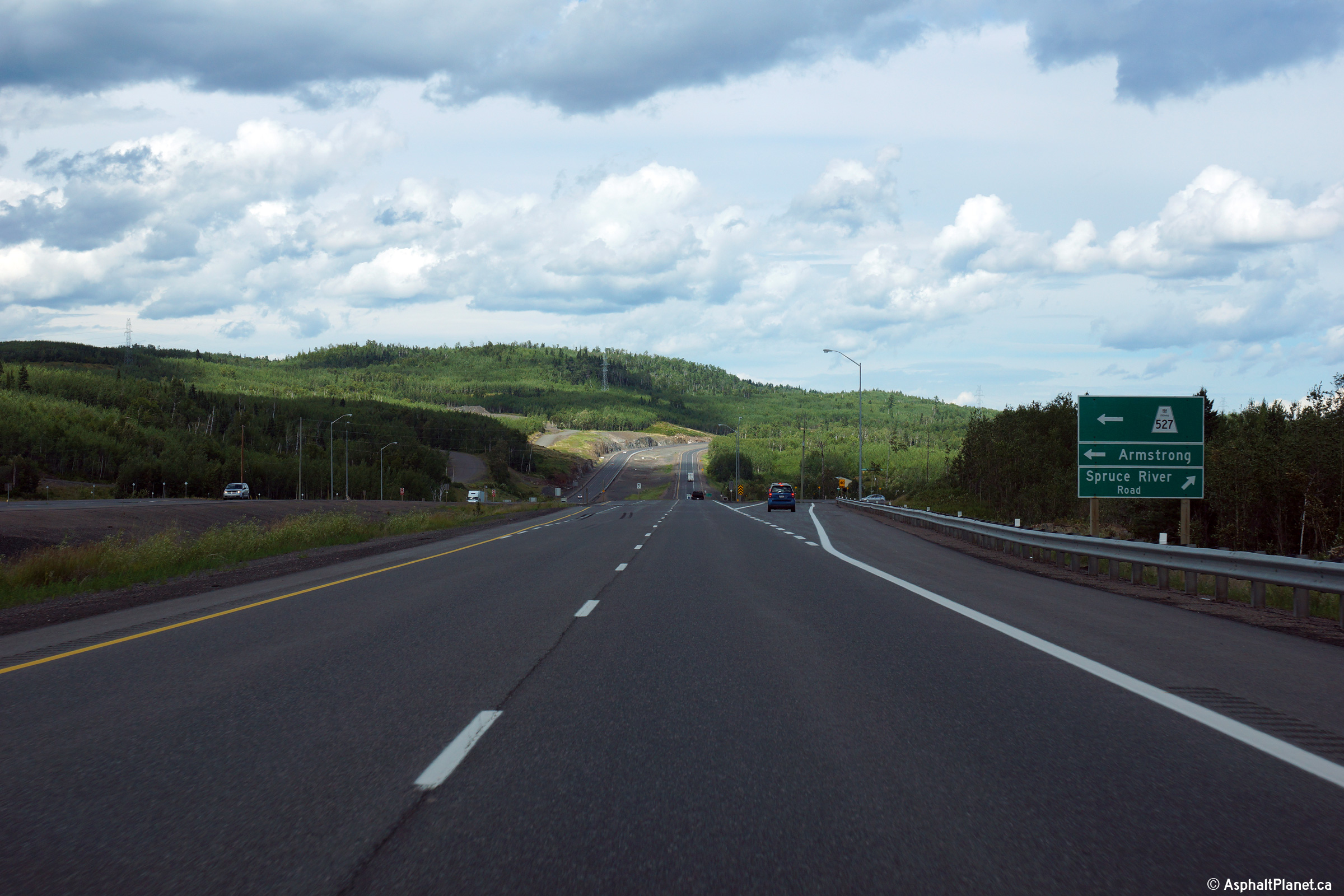
This view looks westerly approaching the Highway 527 intersection.
Photo taken: August 1st, 2015. |
(720x480)
(1440x960)
(2400x1600) |
|
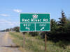
Highway 527 is a long spur highway
that leads northerly through the wilderness to the remote community of
Armstrong. Click here for Highway 527 images. |
Municipality of Shuniah
District of Thunder Bay |
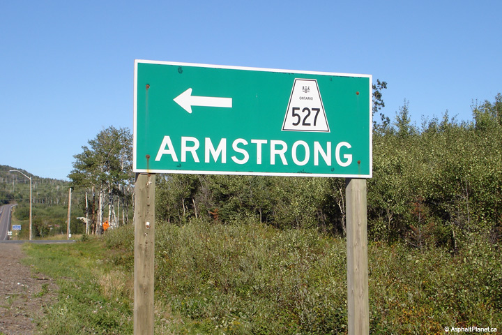
This signage for Highway 527 was updated with a more typical design during
the construction that saw Highway 11/17 widened through the Highway 527
intersection.
Photo taken: August 30th, 2006. |
|
Municipality of Shuniah
District of Thunder Bay |
Eastbound views approaching the Highway 527 intersection.
Upper photo taken: August 30th, 2006.
Lower photo taken: August 1st, 2015. |

(720x480)
(1440x960)
(2400x1600) |
Municipality of Shuniah
District of Thunder Bay |
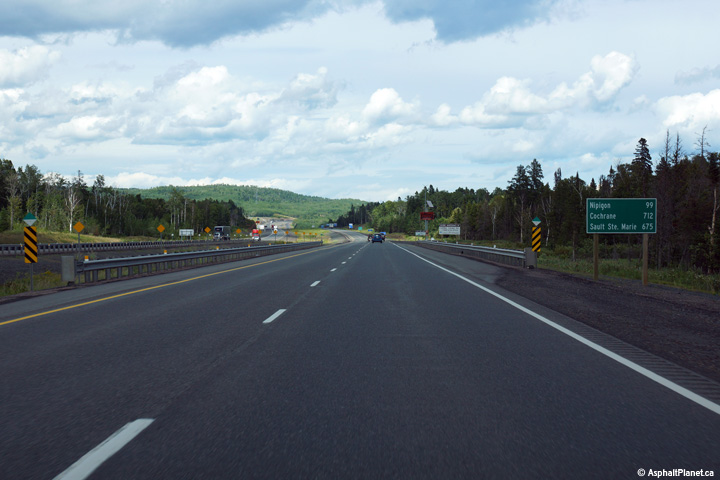
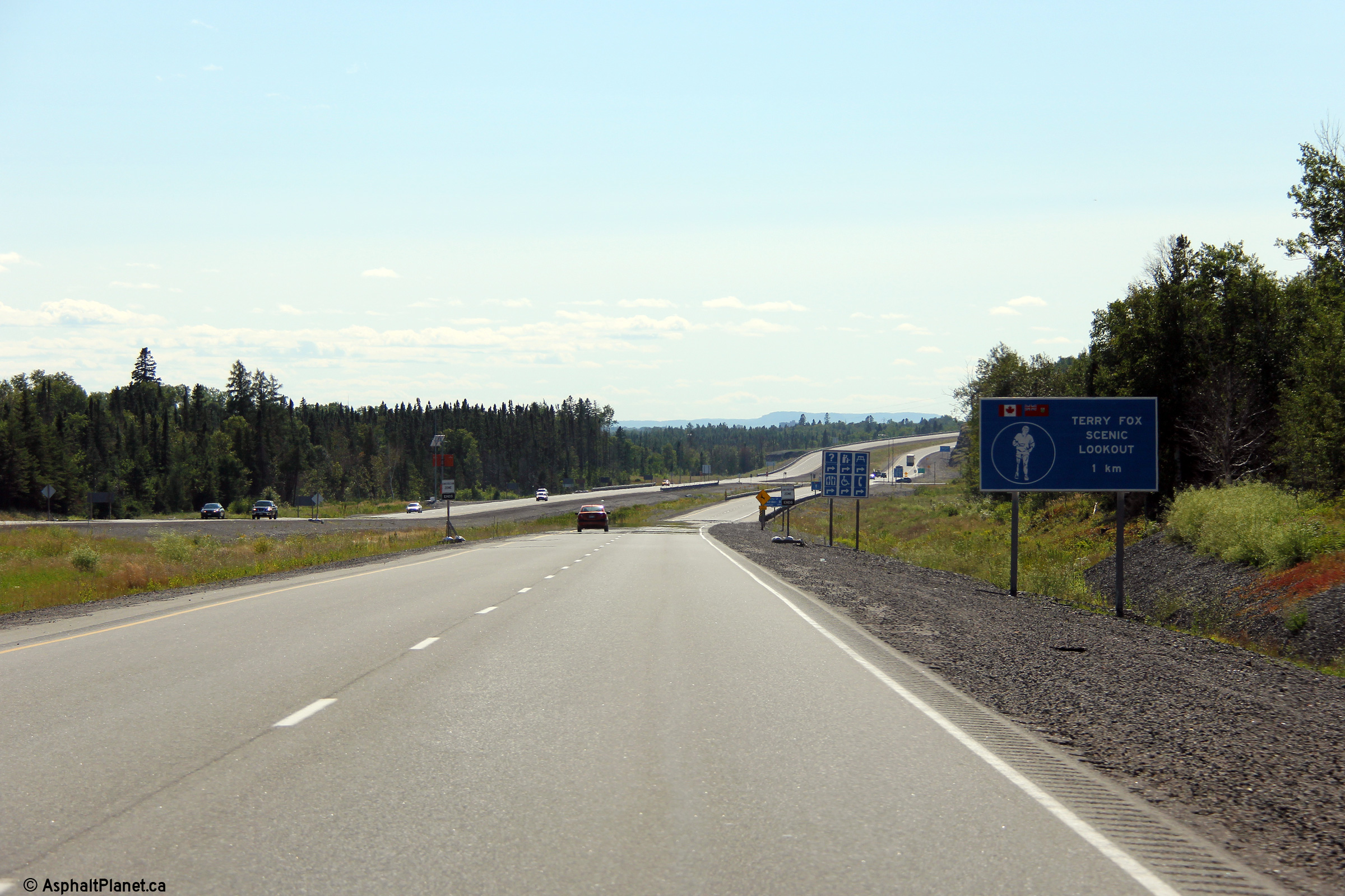
This eastbound distance signage is situated just east of the Terry Fox
monument along Highway 11/17. From this sign it is nearly the same
distance to Sault Ste. Marie, as it is from Windsor to Brockville.
Photo taken: August 1st, 2015. |
(720x480)
(1440x960)
(2400x1600) |
Municipality of Shuniah
District of Thunder Bay |
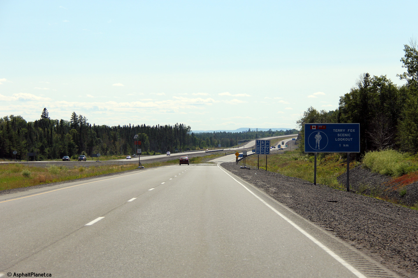
View looking westerly approaching the Terry Fox Rest Area that is located
between the Highway 527 intersection and the Hodder Avenue interchange.
Photo taken: August 13th, 2014. |
(720x480)
(1440x960)
(2400x1600) |
| City of Thunder Bay |
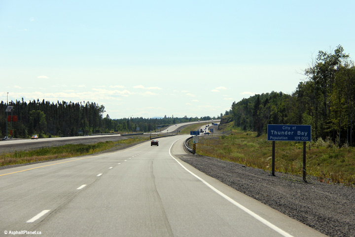
Signage advising westbound motorists that they have entered the City of
Thunder Bay. Thunder Bay is the largest city to be located on Lake
Superior. (Duluth, MN has a larger metropolitan area, but smaller
individual municipalities).
Photo taken: August 13th, 2014. |
(720x480)
(1440x960)
(2400x1600) |
| City of Thunder Bay |
View looking easterly along along Highway 11/17 approaching the Terry Fox
Rest Area.
Photo taken: August 13th, 2014. |

(720x480)
(1440x960)
(2400x1600) |
| City of Thunder Bay |
View looking easterly from a high rock-cut just east of the Hodder Avenue
interchange.
Photo taken: August 13th, 2014. |
(720x480)
(1440x960)
(2400x1600) |
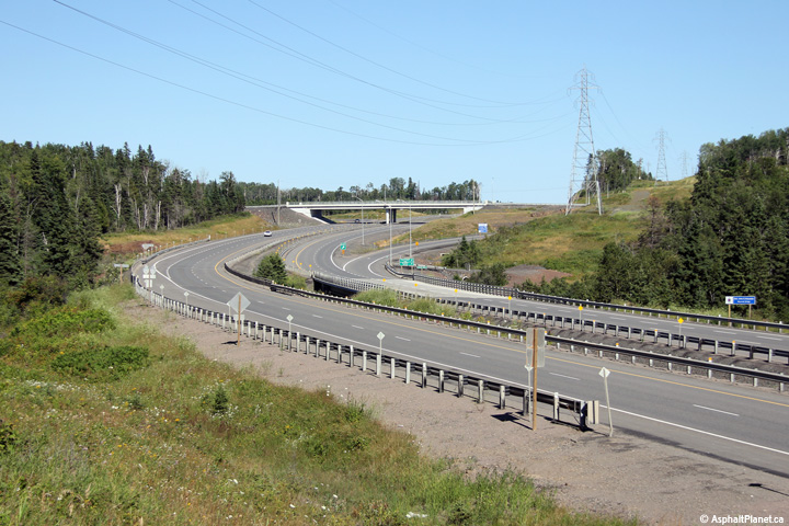
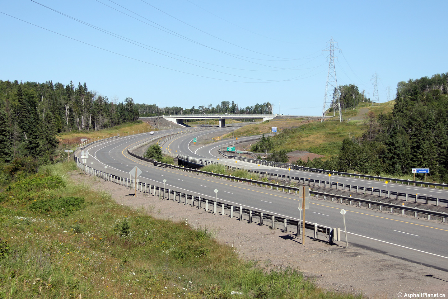
| City of Thunder Bay |
Two views looking westerly towards the Hodder Avenue interchange from a high
rock-cut on the east side of the interchange. The interchange between
Hodder Avenue and Highway 11/17 is the first and only interchange in
northwestern Ontario. The Hodder Avenue interchange was opened to
traffic in 2012 as part of the first phase of a series of contracts to
four-lane Highway 11/17 east of Thunder Bay.
Photo taken: August 13th, 2014. |

(720x480)
(1440x960)
(2400x1600)
(720x480)
(1440x960)
(2400x1600) |
| City of Thunder Bay |
View looking east along Highway 11/17
from the Hodder Avenue overpass. Click
here for a photo from this
location taken in July, 2004, before the Highway 11/17 was widened to four
lanes east of Hodder Avenue. Photo taken: August 13th, 2014. |
(720x480)
(1440x960)
(2400x1600) |
|
City of Thunder Bay |
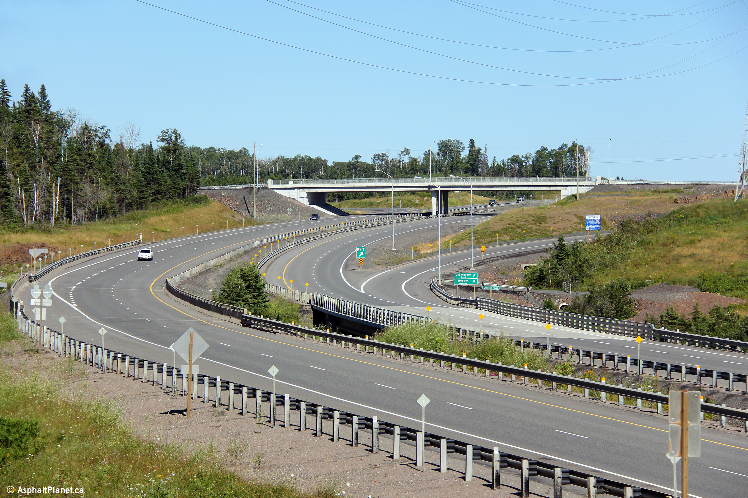
View looking westerly along Highway 11/17 from the Hodder Avenue
interchange. Click here
for a photo from this location taken in July, 2004, before the construction
of the Hodder Avenue interchange.
Photo taken: August 13th, 2014. |
(720x480)
(1440x960)
(2400x1600) |
|
City of Thunder Bay |
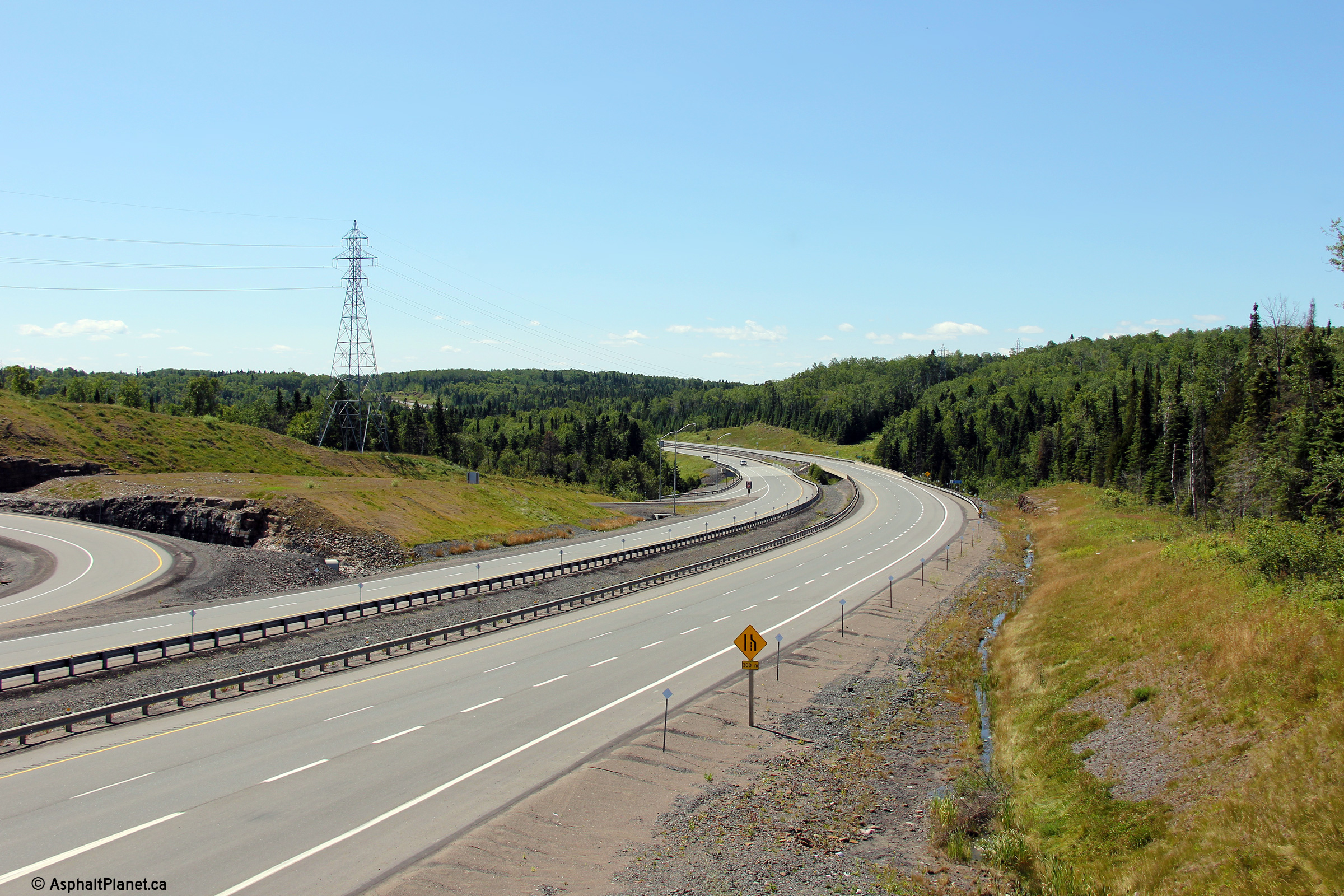
Two views looking easterly as Highway 11/17 passes overtop of the Current
River and approaches the Hodder Avenue interchange.
Photos taken: August 13th, 2014. |
(720x480)
(1440x960)
(2400x1600)
(720x480)
(1440x960)
(2400x1600) |
|
City of Thunder Bay |
View looking westerly from just west of the Current River bridge as the
Trans-Canada Highway climbs out of the Current River Valley.
Photo taken: August 13th, 2014. |
(720x480)
(1440x960)
(2400x1600) |
|
City of Thunder Bay |
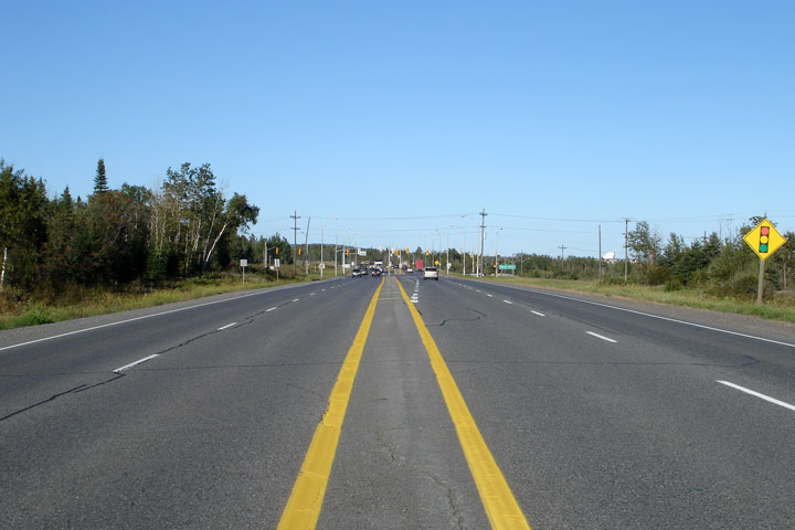
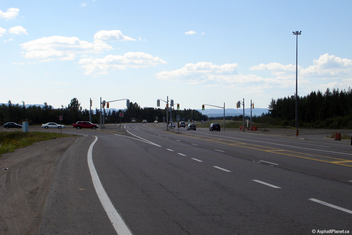
Looking easterly along the Thunder Bay Expressway towards the Balsam Street
intersection. Balsam Street is the first signalized intersection
westbound travelers encounter upon entering Thunder Bay. Picture taken:
August 30th, 2006. Size: 40kb. |
 |
|
Highway 102 is a shortcut route
bypassing Highway 11/17 through Kakabeka Falls.
Click here for Highway 102 images. |
|
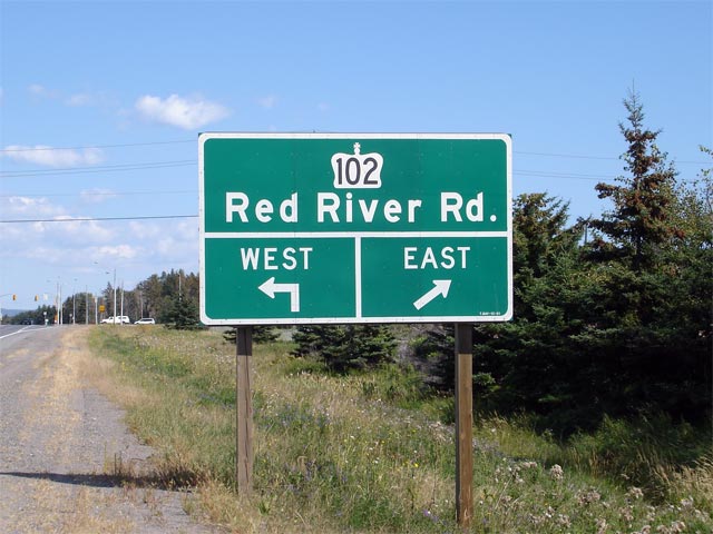
City of Thunder Bay. |
Green sign denoting the Highway 102
intersection for eastbound motorists. Signage along the Thunder Bay
expressway is an interesting cross between standard two-lane highway signage
and extruded aluminum signage that would appear on freeways.
Picture size: 60kb. |
 |
|
City of Thunder Bay |
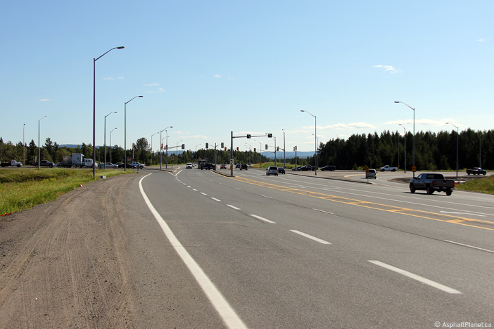
Looking easterly along the Thunder Bay Expressway from just east of the
Oliver Road intersection. Notice that the hatch markings in the
centre-line of the highway are only used approaching intersections, and not
along the length of the expressway.
Picture taken: August 30th, 2006. Size: 45kb. |
 |
|
City of Thunder Bay |
The Oliver Road intersection along the Thunder Bay Expressway is dwarfed by
Mount McKay in the distance. Oliver Road was at one time designated as
Secondary Highway 590. A number of highways in the Thunder Bay area
were decommissioned during municipal reorganizations that took place in the
1970s.
Click here for high resolution image (215kb).
Picture taken: August 30th, 2006. Size: 45kb. |
 |
|
City of Thunder Bay |
Looking easterly towards the Oliver Road intersection from just east of the
Harbour Expressway intersection.
Click
here for high resolution image (170kb). Picture taken: September 4th,
2006. Size: 40kb. |
 |
|
City of Thunder Bay |
Two views looking westerly towards the Harbour Expressway intersection along the
Thunder Bay Expressway. The upper photo shows the intersection before
the Shabaqua Highway opened to traffic in 2007, and when Highway 11/17
continued through this intersection. The lower photo was taken in
2014, and shows the intersection after the completion of the Shabaqua
Highway. Since the completion of the Shabaqua Highway in 2007, Highway
11/17 no longer continues straight through this intersection, instead
turning westerly following the Shabaqua Highway towards Kakabeka Falls.
Upper photo taken: September 4th, 2006.
Lower photo taken: August 13th, 2014. |
(720x480)
(1440x960)
(2400x1600) |
|
Highway 61 leads southerly from
Thunder Bay to the Minnesota Border at Pigeon River.
Click here for Highway 61
images. |
|
Continue west on Highway 11 via
Thunder Bay to Shabaqua images. |


 (720x480)
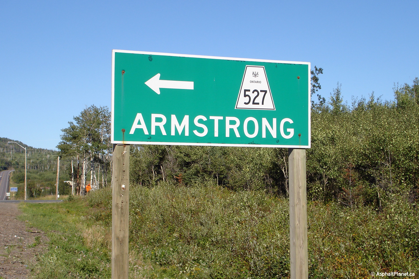


