|
Proper Municipality Name |
Photo Description |
Photo |
|
Pictures taken
from driver's perspective appear offset from centre-line pictures: |
North-
Bound |
South-
Bound |
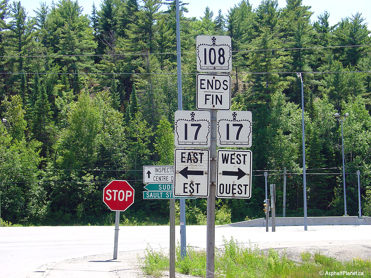
| Township of the North Shore District of Algoma |
This picture shows the junction
assembly marking the southern terminus of Highway 108, where it meets
Highway 17 at Serpent River. Click
here for
Highway 17 Images
Picture taken July 2nd, 2004.
Size: 40kb |
 (720x480) (720x480)
(1280x960) |
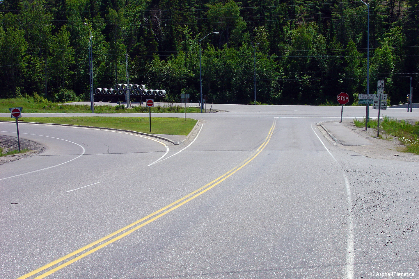
| Township of the North Shore District of Algoma |
This shot is taken a little
further up the road then the previous picture. This is the southern
terminus of Highway 108, the cross street running about halfway through the
picture is Highway 17. Straight ahead of
Highway 17 is a truck
inspection station.
Picture taken July 2nd, 2004.
Size: 45kb |
(720x480)
(1440x960)
|
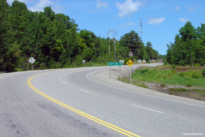
| Township of the North Shore District of Algoma |
This picture is looking north
along Highway 108 from Highway 17. The distance sign in the picture
reads 'Elliot Lake 30 (km)'. Elliot lake is the major destination
along Highway 108, and is pretty much the only draw along the highway.
Picture taken July 2nd, 2004.
Size: 50kb |
(720x480)
(1440x960) |
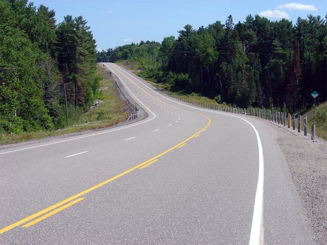
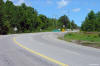
| District of Algoma |
Highway 108 looking north from about 8km north of
Highway 17. This is a fairly typical
looking view of Highway 108 between Highway 17
and Elliot Lake. The entire length of Highway 108 between Elliot Lake
and Serpent River has recently been rehabilitated, and winds like this
through the rugged terrain in the area.
Picture taken: July 3rd, 2005. Size: 70kb. |
 |
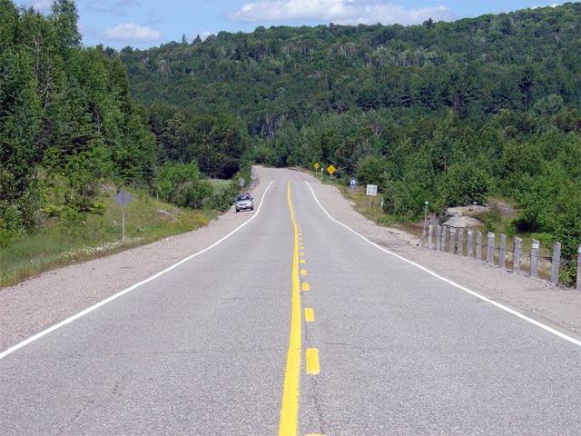
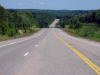
| District of Algoma |
Highway 108 looking north from about 2km south of the highways northern
terminus. North of Elliot Lake, Highway 108 sees very little traffic,
and is quite overbuilt. This is because at one point, before many of
the local mines closed, Highway 108 north of Elliot Lake saw much more truck
traffic then it currently does.
Picture taken: July 3rd, 2005. Size: 65kb. |
 |
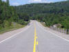
| District of Algoma |
Looking north along Highway 108 towards its northern terminus where it
transitions to Highway 639. Picture taken: July 3rd, 2005. Size:
80kb. |
 |
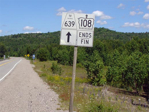
| District of Algoma |
Junction assembly for the northern terminus of Highway 108 where it
transitions into Highway 639. Highway 639 continues northerly through
some very rugged terrain before terminating at Highway 546. Click here
to Continue northerly via Highway 639 Images. (Coming Soon!)
Picture size: 50kb. |
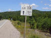 |
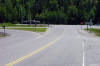
| District of Algoma |
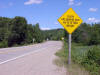
This picture shows a very unique sign, quite possibly the only time this
sign is used in the entire province. Notice the rather abrupt end in
line-paint at the northern end of Highway 108. Picture size: 75kb. |
 |
 (720x480)