King's Highway 405 - www.OntHighways.com

Highway 405 is a short spur highway leading from The Queen Elizabeth way in Niagara-on-the-Lake to the Queenston-Lewiston Bridge.  On the American side of the border, Highway 405 connects to Interstate-190, which is the Niagara Section of the New York Thruway.


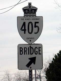
Old Style King's Highway 405 Shield

  Western Terminus:  Partial Interchange with the Queen Elizabeth Way east of St. Catherines

Eastern Terminus:  Queenston-Lewiston Bridge Toll Plaza.

Length:  8.5 km

Multiplexes:  None

Freeway:  Entire Length.

Control Cities:  EB: Bridge to USA.  WB: Toronto

AADT (2002):  Highest: 25,400, from the QEW to the Stanley Avenue Interchange

                             Lowest: 22,000, from Stanley Avenue to the Queenston-Lewiston Bridge Toll Plaza

Road Info:  Presently, Highway 405 is probably in the worst condition of any 400-series highway in Ontario.  Pavement conditions are acceptable, but sub-par compared to other important highways.  Traffic volumes are moderate, and Highway 405 has a posted speed limit of 100km/h.


Highway 405 information:


OntHighways.com  

Detailed Route information available below
Virtual Tour and other photos of Highway 405


TheKingsHighway.ca   History of Highway 405
Photographic History of Highway 405

Interchanges along Highway 405 from West to East:

Proper Municipality Name Distance Interchange Name North / West Control City South / East Control City
Town of Niagara-on-the-Lake 0 km / 8.5 km Queen Elizabeth Way - (Toronto Bound Partial Interchange) Toronto
City of Niagara Falls 5.3 km / 3.2 km Stanley Avenue (Niagara Road 102) Niagara-on-the-Lake Niagara Falls
Canada-USA border 8.5 km / 0 km Interstate 190 via Queenston Lewiston Bridge    
Highway 405 Ends

<- Highway 404          www.OntHighways.com - Home          Highway 406 ->


Copyright (c) 2004-2006, AsphaltPlanet.ca   webmaster@onthighways.com

Page last updated:  February 10th, 2005

Page created:  February 10th, 2005