|
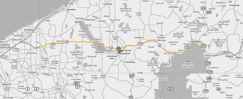
New York Route 17 |
| <- I-86 PA |
|
Page 2 -> |
Pictures are arranged in order from west to east. NY-17 East photos are
left-aligned in the last column, while NY-17 West photos are
right-aligned.
Center-line pictures are centered within the last column.
|
Location |
Description |
Photo |
||
|
East- |
West- |
|||
|
Route 17 continues west into Pennsylvania as Interstate 86. Click here for I-86 (PA) images. |
||||
|
Chautauqua County |
View looking westerly along Interstate 86 about 15miles east of the Pennsylvania Border. |
|
||
|
Date: 7/09/2007 |
||||
|
Chautauqua County |
Two views looking westerly from the Route 394 overpass. It is not far west of Route 394 until I-86 climbs back into the hills synonymous with the Southern Tier of New York. |
 |
||
 |
||||
|
Date: 7/09/2007 |
||||
|
Chautauqua County |
Easterly view from the Route 394 overpass towards the Chautauqua Lake Bridge. Before the Chautauqua Lake Bride was constructed, Route 17 headed northerly along the Chautauqua River towards Westfield New York. |
 |
||
|
Date: 7/09/2007 |
||||
|
Chautauqua County |
View of the advanced signage for the Route 394 atop the Chautauqua Lake Bridge. The day I shot this photo, NYSDOT was repairing the concrete bridge deck. As much as I like concrete highways it drives me nuts when concrete is repaired and not diamond ground smooth once the surface has hardened. |
|
||
|
Date: 7/09/2007 |
||||
|
Chautauqua County Town of Ellery |
|
|
||
|
Date: 7/09/2007 |
||||
|
Chautauqua County Town of Ellicott |
|
 |
||
|
Date: 7/09/2007 |
||||
|
Chautauqua County Town of Ellicott |
|
 |
||
|
Date: 7/09/2007 |
||||
|
Chautauqua County |
|
 |
||
|
Date: 7/09/2007 |
||||
|
Chautauqua County |
|
 |
||
|
Date: 7/09/2007 |
||||
| US-62 is somewhat of a forgotten road that meanders through the western part of New York State South from Buffalo. Click here for US-62 images. | ||||
|
Chautauqua County |
|
 |
||
|
Date: 7/09/2007 |
||||
|
Route 17 continues easterly through Salamanca, Olean and Corning. Click here for Page 2 images. |
||||
<- I-86 (PA) Back to Route 17 Index Page 2 ->
<- NY 16
NY Highways NY 17A ->
Canhighways.com
© 2007-10, CanHighways.com.
All rights reserved. All pictures used on this site are the property
of the respective photographers, and are used by permission. No
picture may be used without the consent of the respective photographer.
Page Created: January 3, 2010.
Last Updated: January 3, 2010.


