AsphaltPlanet.ca > California > SR-4
Pictures on this page are arranged in order from west to east. CA-4 East photos are left-aligned in the last column, while CA-4 West photos are right-aligned. Center-line pictures are centered within the last column.
|
Location |
Description |
Photo |
||
|
East- |
West- |
|||
| CA-242 links CA-4 to I-680 in Pleasant Hill. Click here for SR-242 Images. | ||||
|
Contra Costa County |
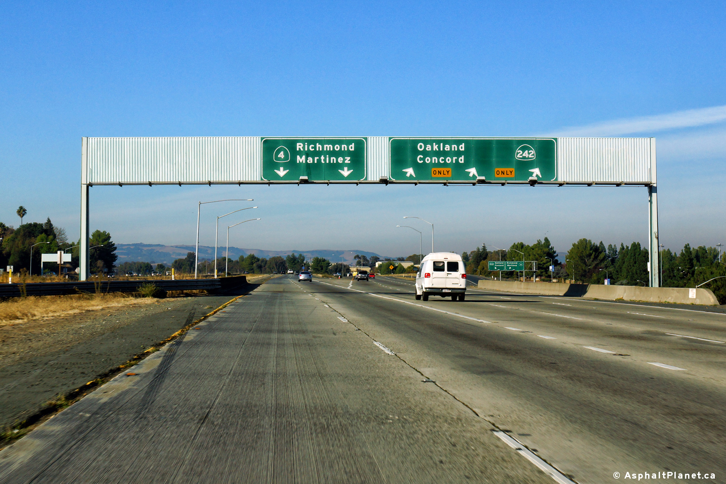
View looking westerly at the off-ramp to SR-242 from the westbound side of Hwy 4. |
|
||
|
Date: 11/02/2013 |
High-res: (1440x960) (2400x1600) |
|||
|
Contra Costa County |
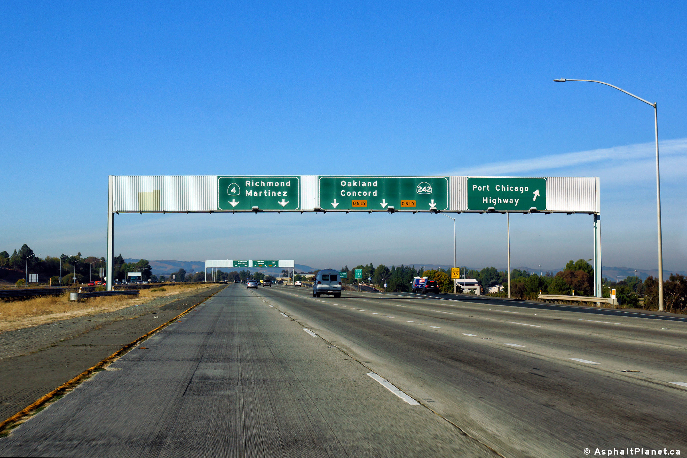
The westbound off-ramp to the Port Chicago Highway is located immediately upstream of the SR-242 off-ramp. |
|
||
|
Date: 11/02/2013 |
High-res: (1440x960) (2400x1600) |
|||
|
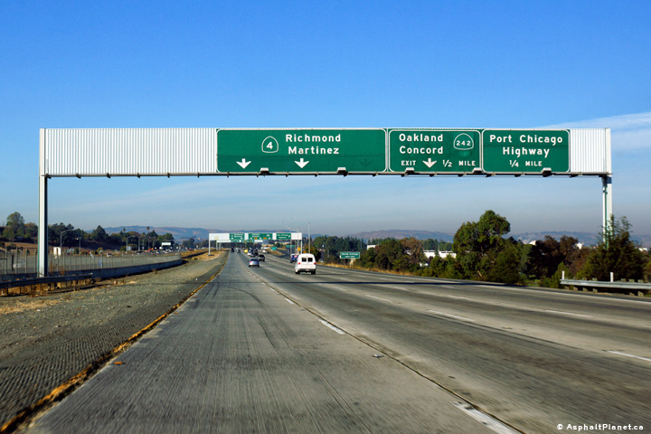
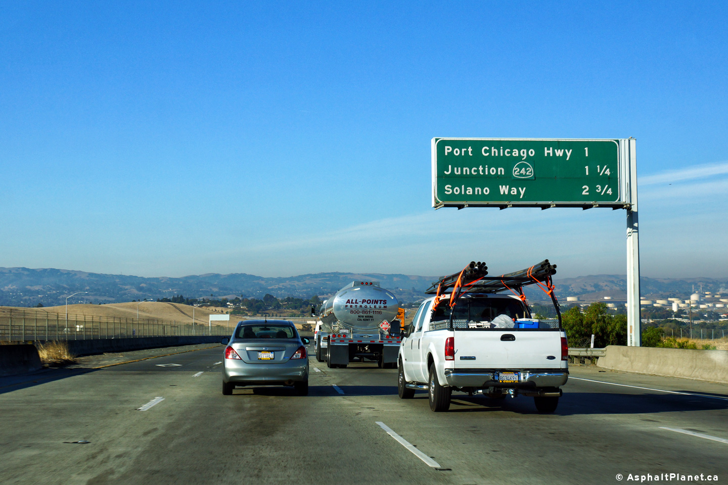
Contra Costa County |
Advanced signage facing westbound motorists for both SR-242 and the Port Chicago Highway. I took these photos only several months after I had purchased my Sony Alpha 77 camera. Looking at these photos today in 2017, it is obviously apparent that I really didn't know how to use such an advanced level camera. I don't recommend using an advanced camera on "creative auto" mode. |
|
||
|
Date: 11/02/2013 |
High-res: (1440x960) (2400x1600) |
|||
|
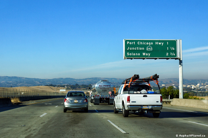
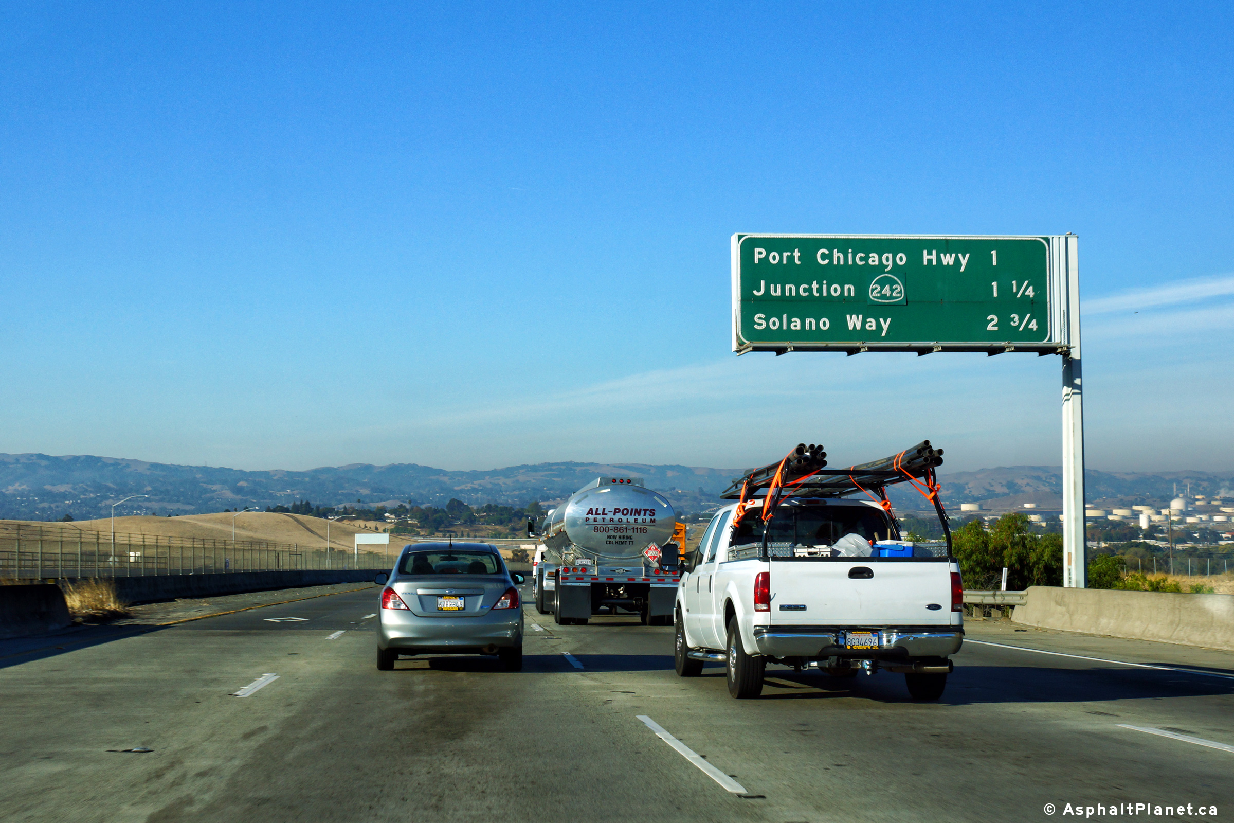
Contra Costa County |
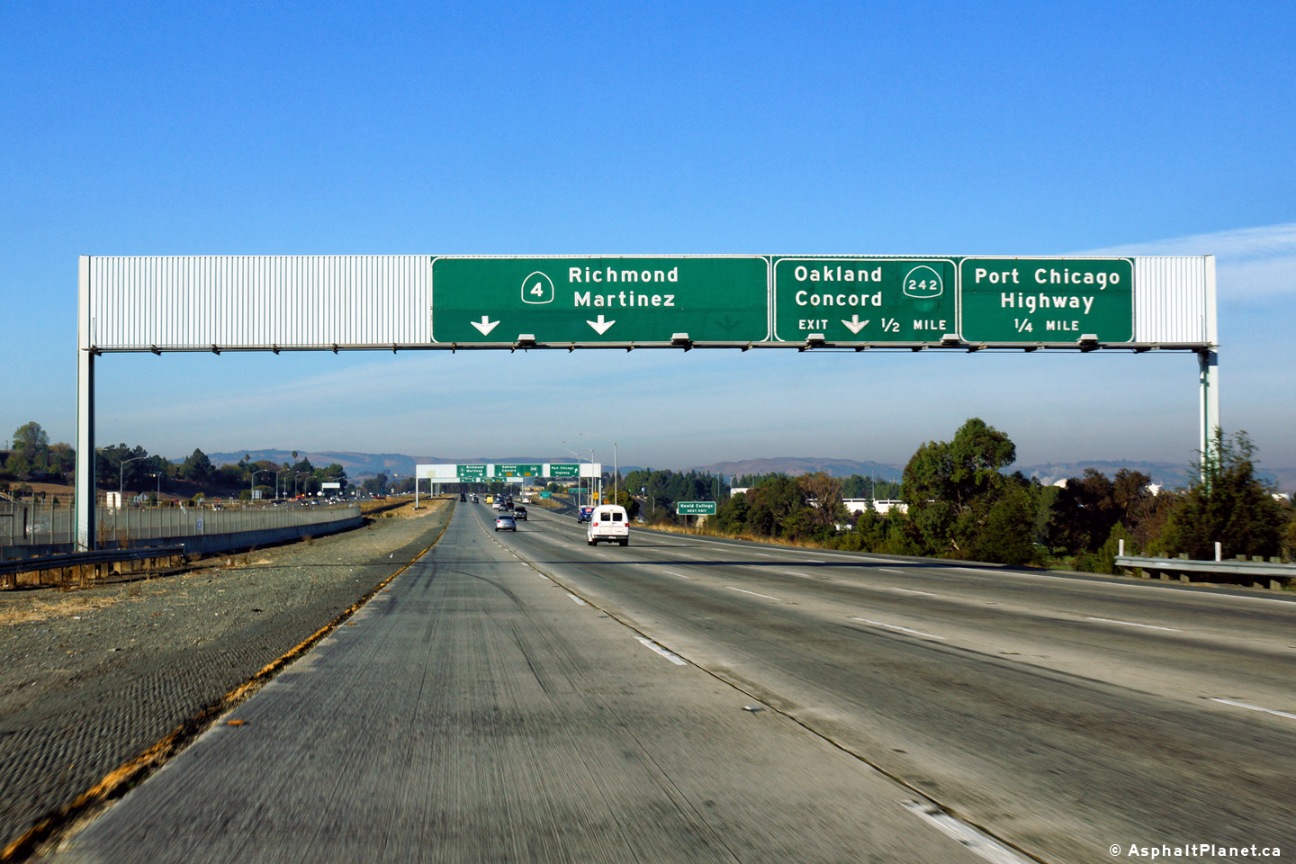
Interchange sequence signage approaching the Port Chicago Highway interchange. |
|
||
|
Date: 11/02/2013 |
High-res: (1440x960) (2400x1600) |
|||
|
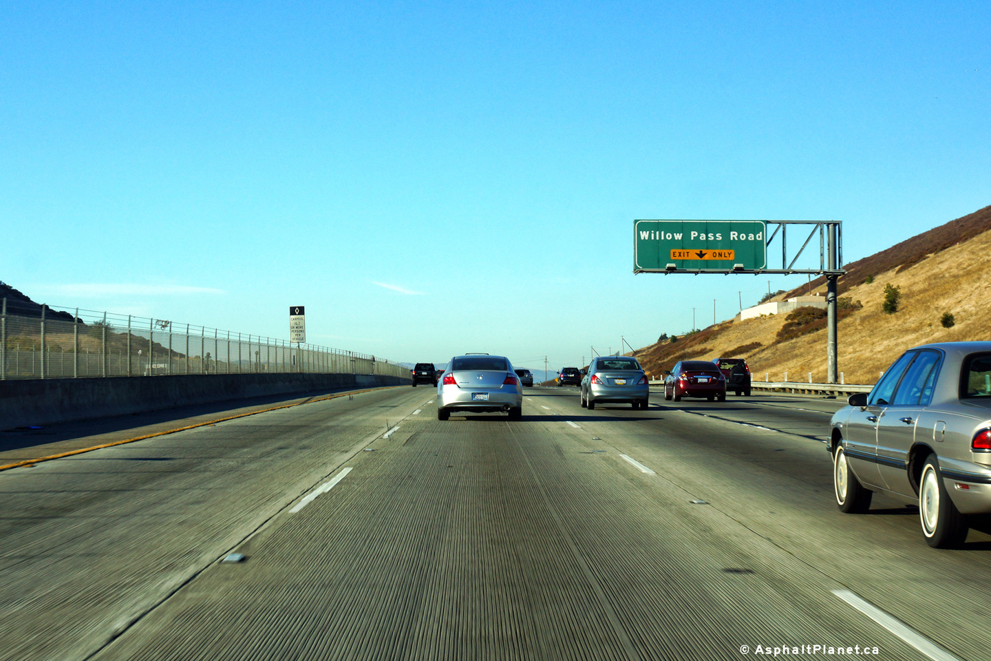
Contra Costa County |
View looking westerly at the off-ramp to Willow Pass Road. |
|
||
|
Date: 11/02/2013 |
High-res: (1440x960) (2400x1600) |
|||
|
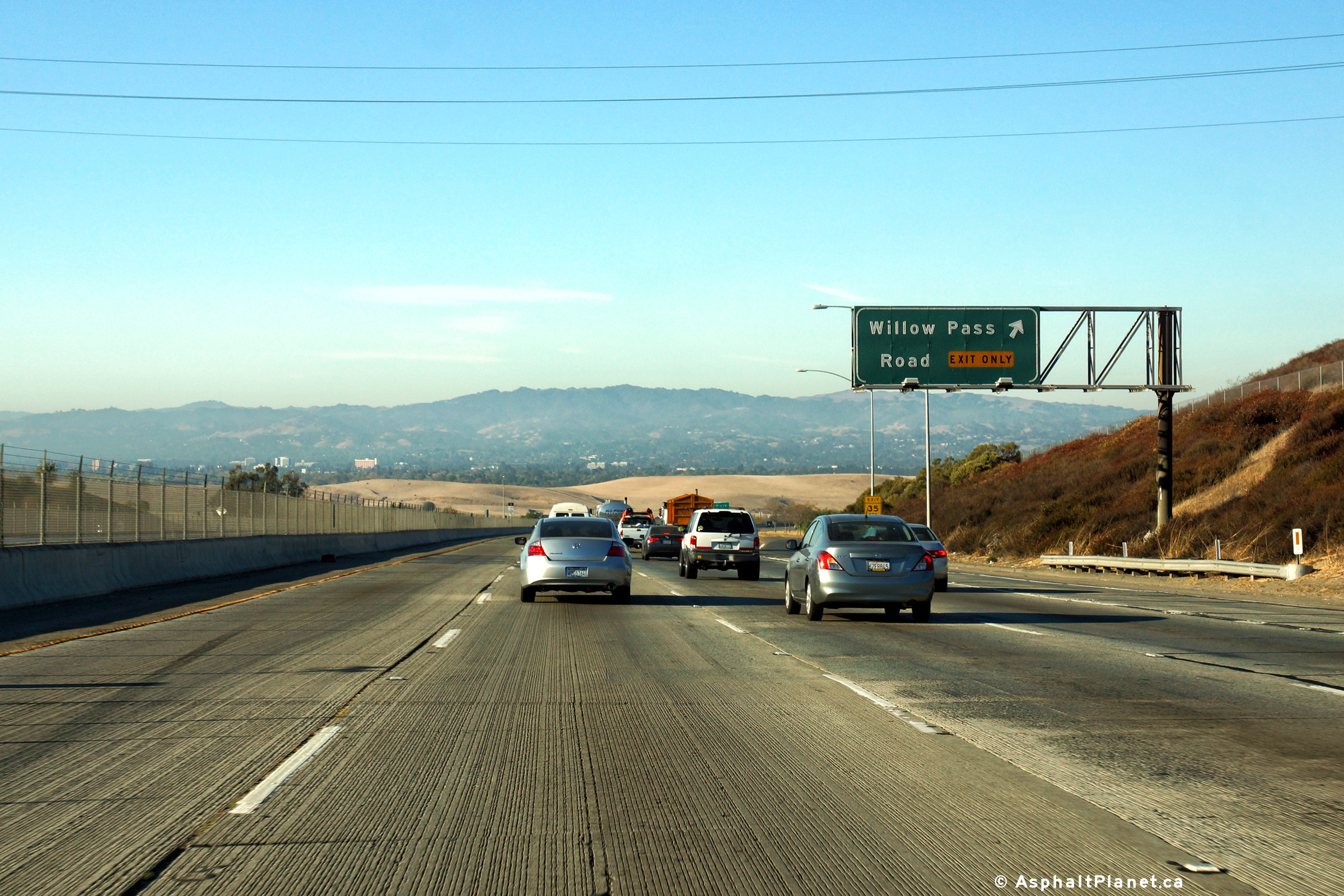
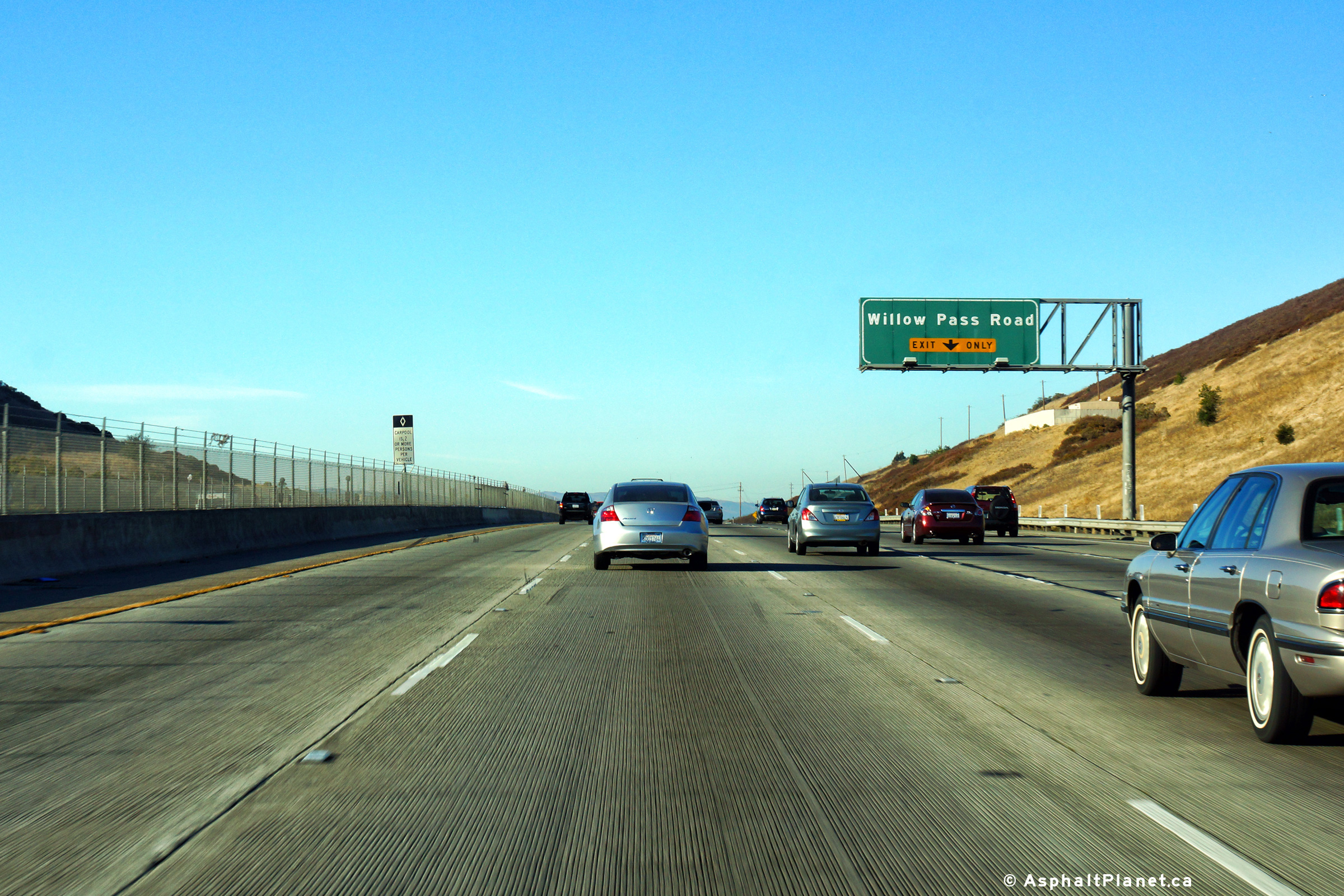
Contra Costa County |
Westbound advanced signage for the Willow Pass Road interchange. |
 |
||
|
Date: 11/02/2013 |
High-res: (1440x960) (2400x1600) |
|||
|
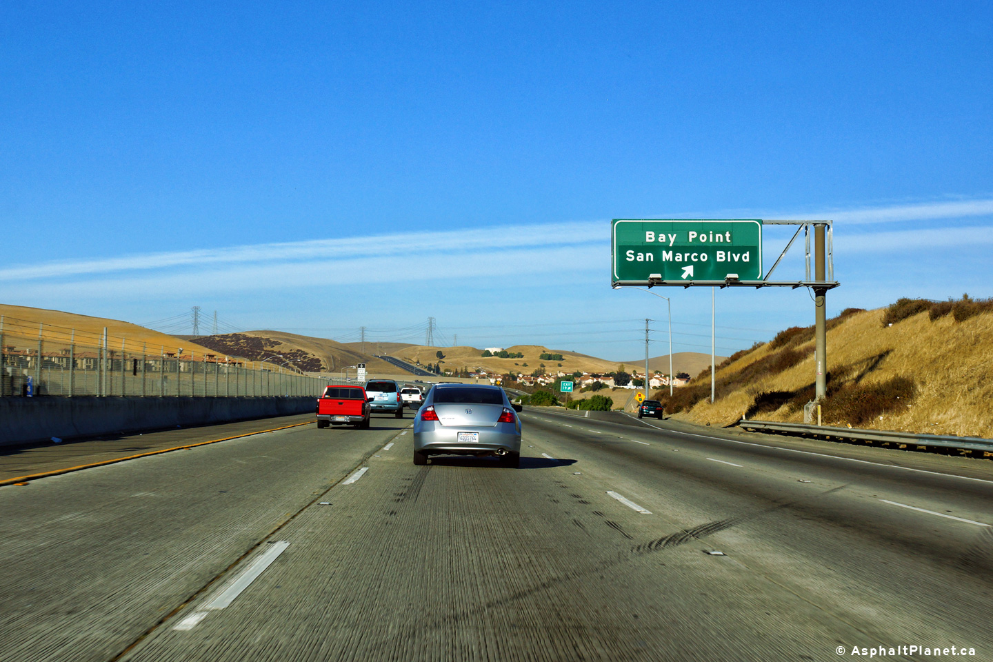
Contra Costa County |
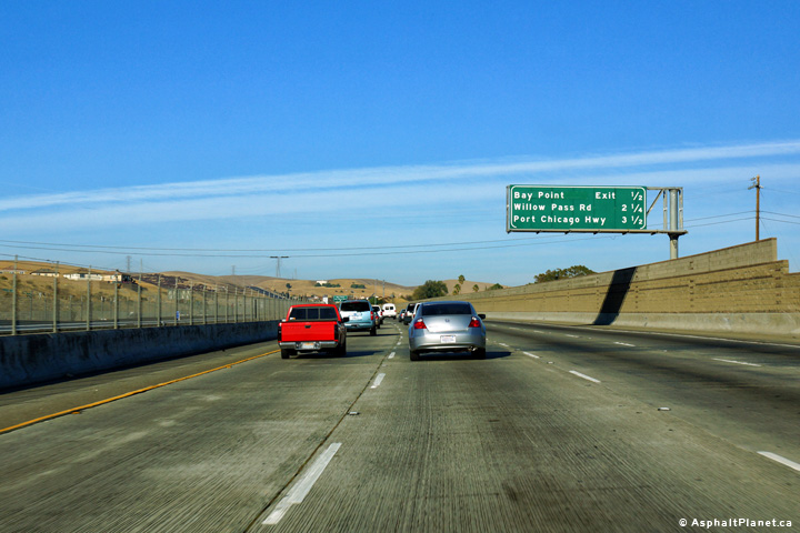
Westbound signage at the Bay Point interchange. |
 |
||
|
Date: 11/02/2013 |
High-res: (1440x960) (2400x1600) |
|||
|
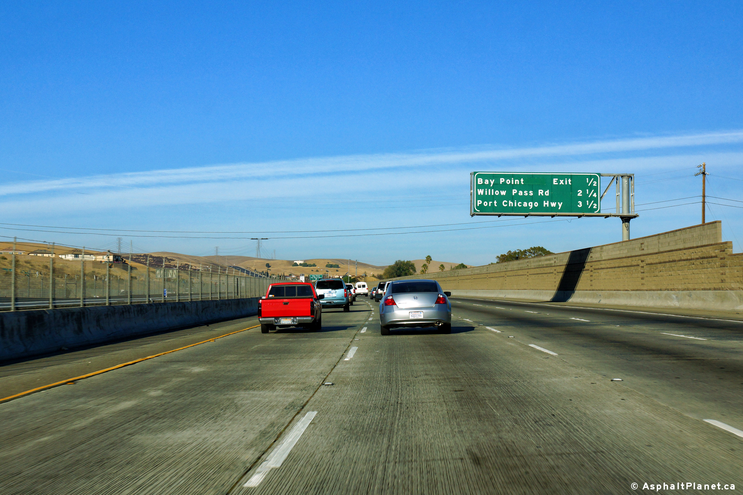
Contra Costa County |
Interchange sequence signage in advance of the Bay Point interchange. |
|
||
|
Date: 11/02/2013 |
High-res: (1440x960) (2400x1600) |
|||
|
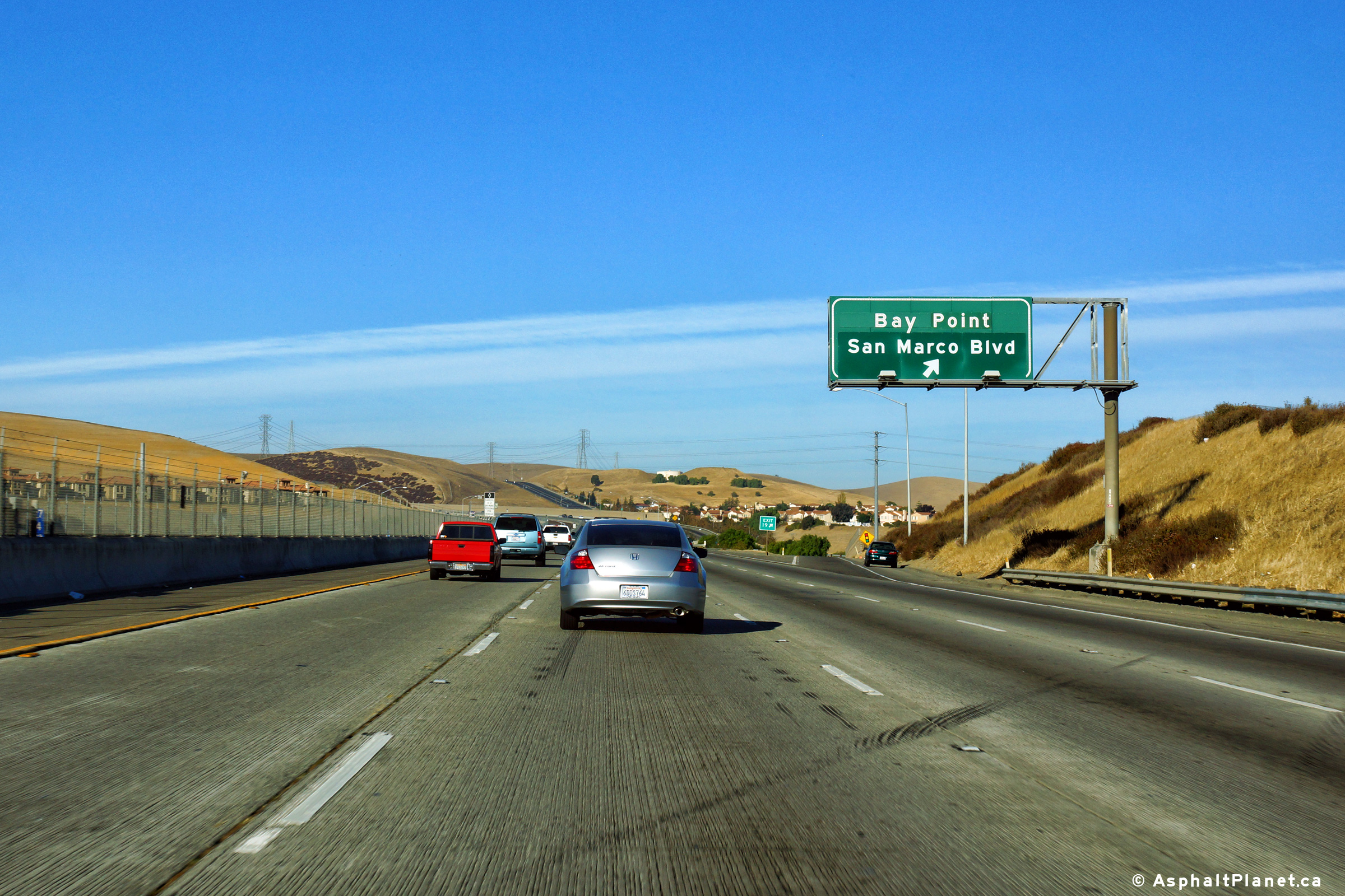
Contra Costa County |
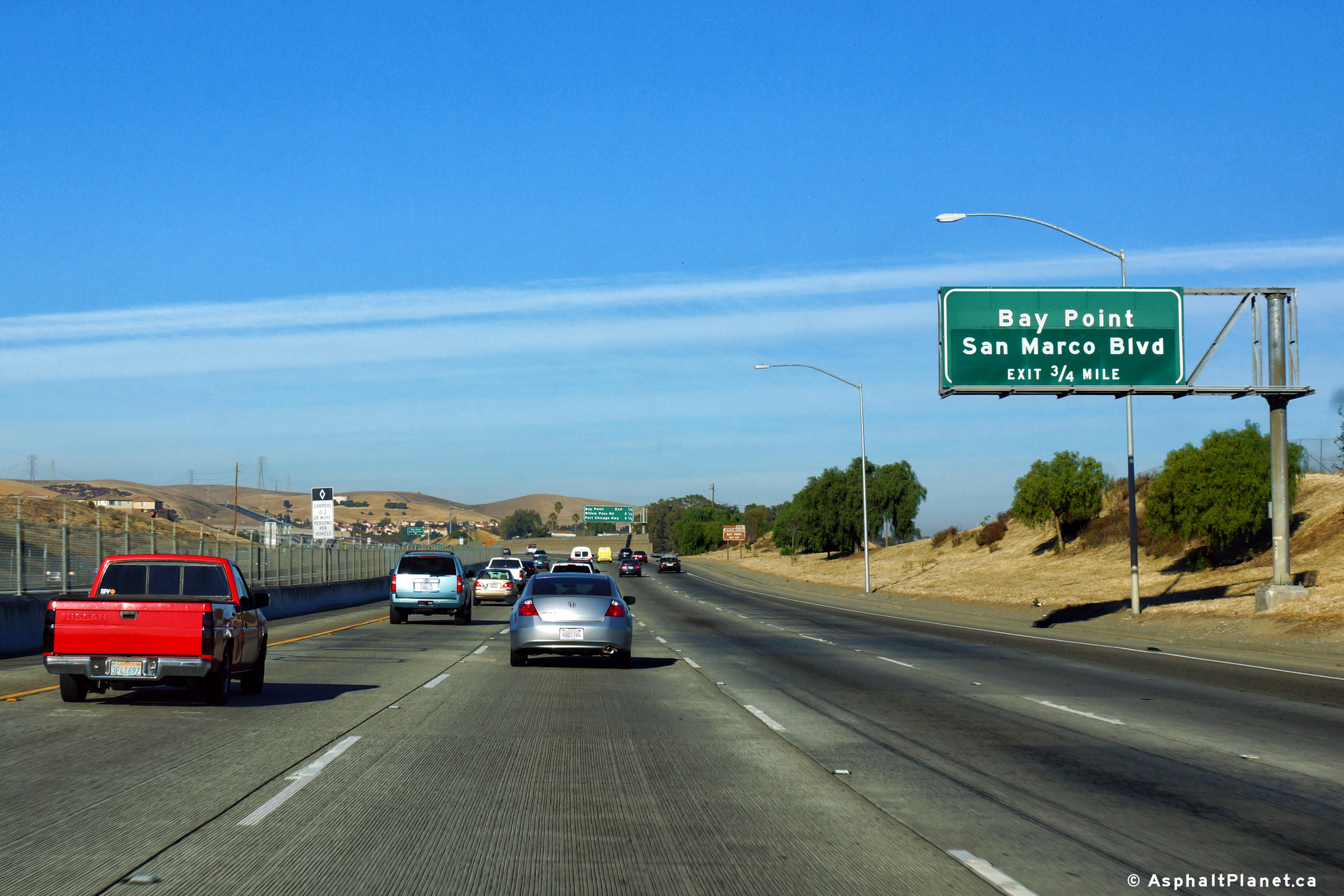
Westbound advanced signage for the Bay Point interchange. |
 |
||
|
Date: 11/02/2013 |
High-res: (1440x960) (2400x1600) |
|||
|
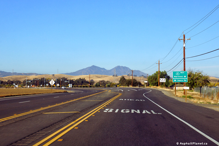
Contra Costa County |
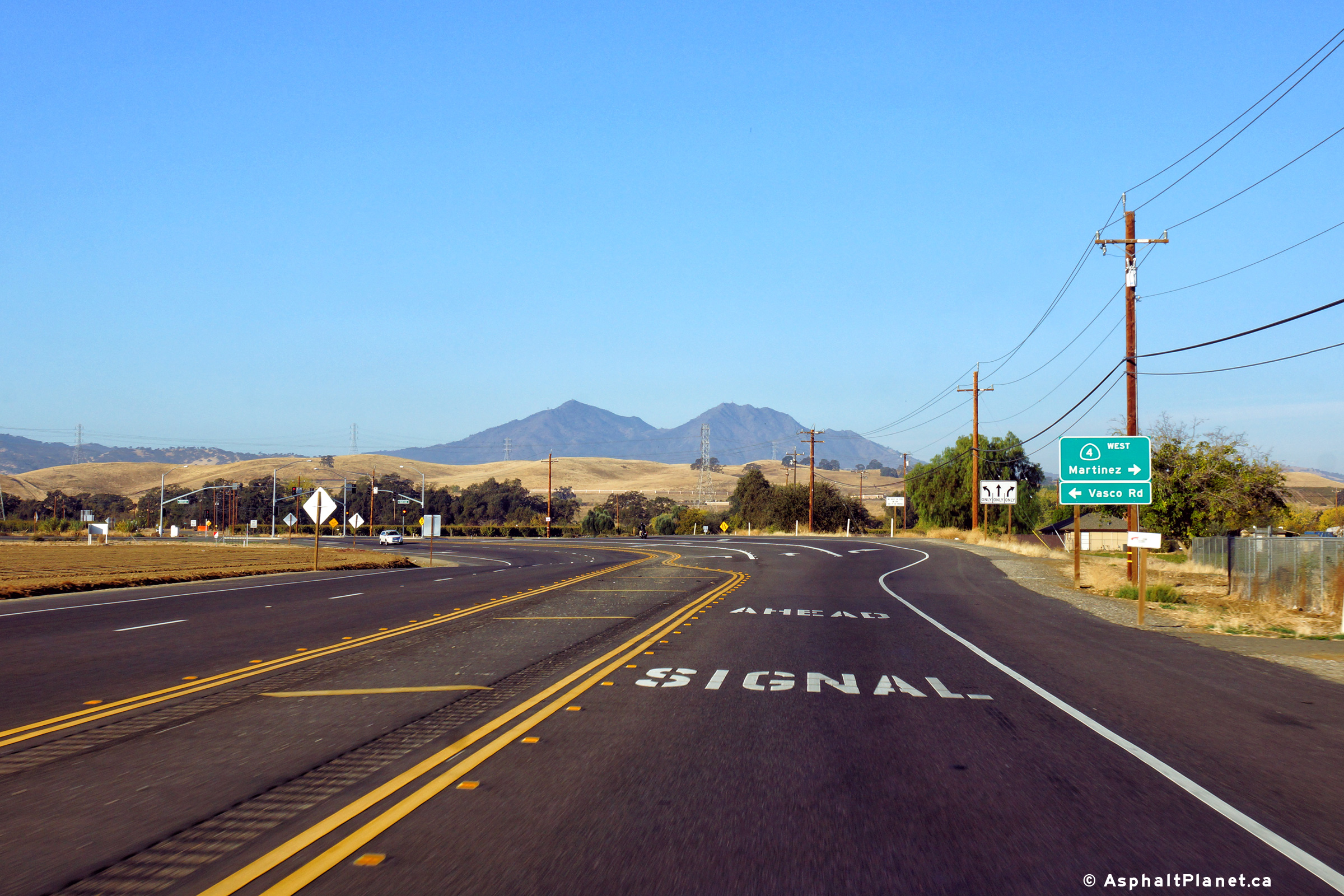
Signage along Hwy 4 approaching the signalized intersection with Vasco Road. Hwy 4 turns right at this interchange, and follows a road that could potentially be upgraded to a full freeway. |
 |
||
|
Date: 11/02/2013 |
High-res: (1440x960) (2400x1600) |
|||
| Hwy 4 meets Interstate 5 at the western edge of Stockton. Click here for Interstate 5 Images. | ||||
<- CA-3
CA Highways
CA-7 ->
AsphaltPlanet.ca
© 2010-2017 AsphaltPlanet.ca.
Scott@asphaltplanet.ca
Page Created: February 25, 2017
Last Updated: February 25, 2017.


