AsphaltPlanet.ca > Michigan > M-39
Pictures on
this page are arranged in order from south to north. M-39 North photos are
left-aligned in the last column, while M-39 South photos are right-aligned.
Center-line pictures are centered within the last column.
|
Location |
Description |
Photo |
||
|
North- |
South- |
|||
|
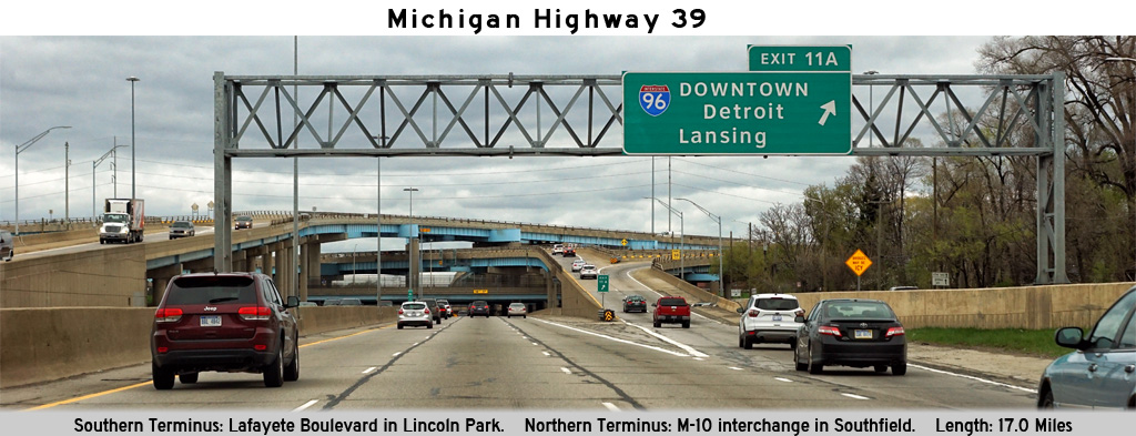
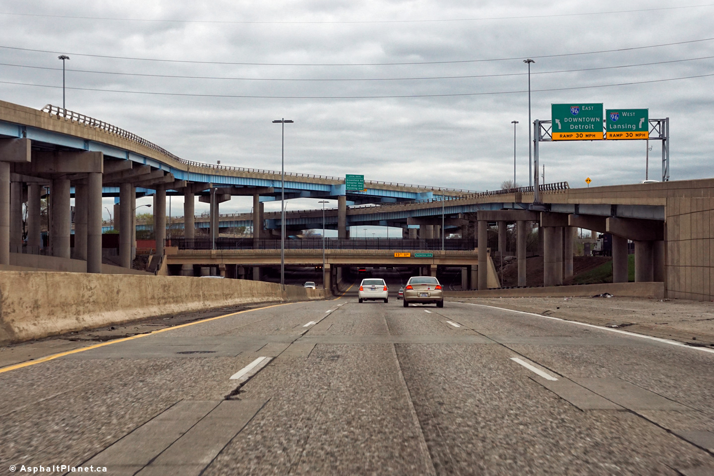
Wayne County |
View looking southerly along the Southfield Freeway as the freeway passes beneath the Interstate 96 interchange.. |
 |
||
|
Date: 4/21/2017 |
High-res: (1440x960) (2400x1600) |
|||
|
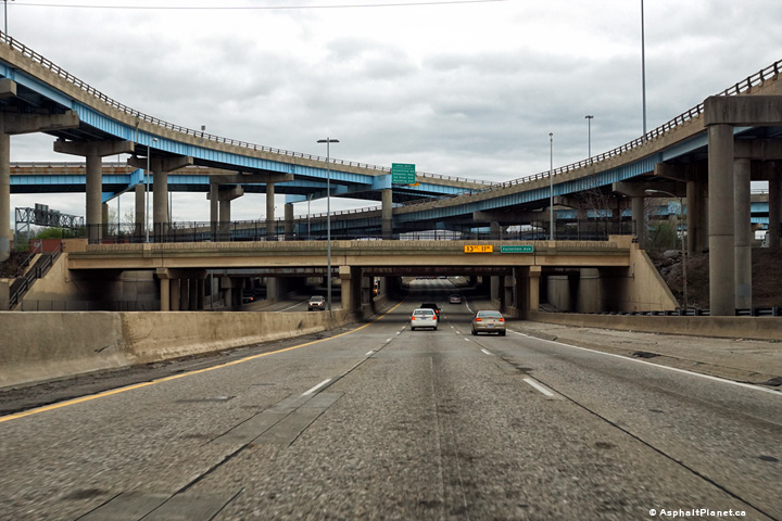
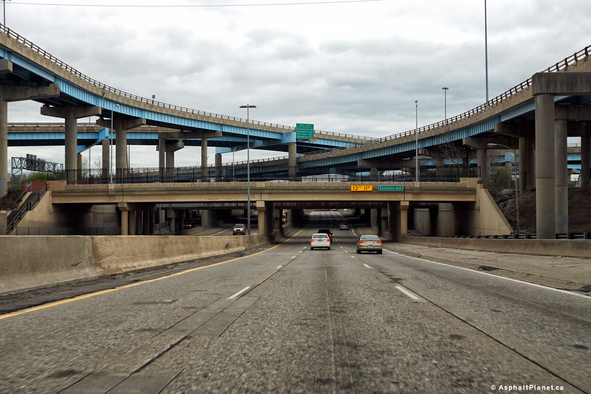
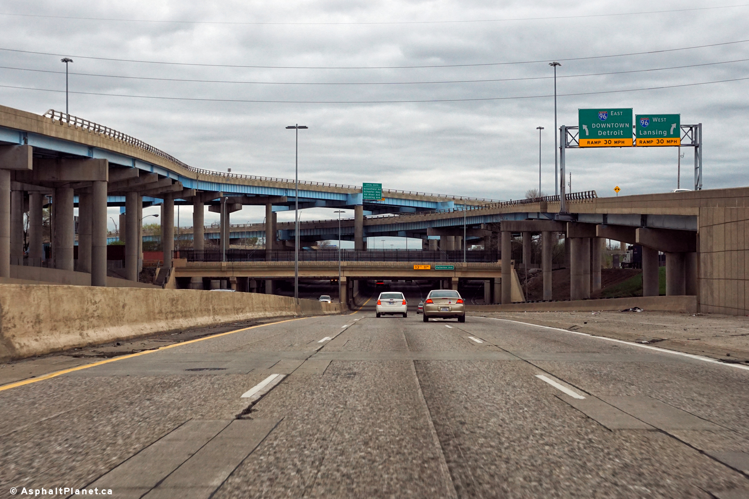
Wayne County |
The Southfield Freeway meets I-96 at a four level stack interchange. |
 |
||
|
Date: 4/21/2017 |
High-res: (1440x960) (2400x1600) |
|||
|
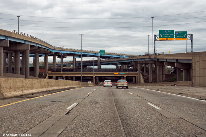
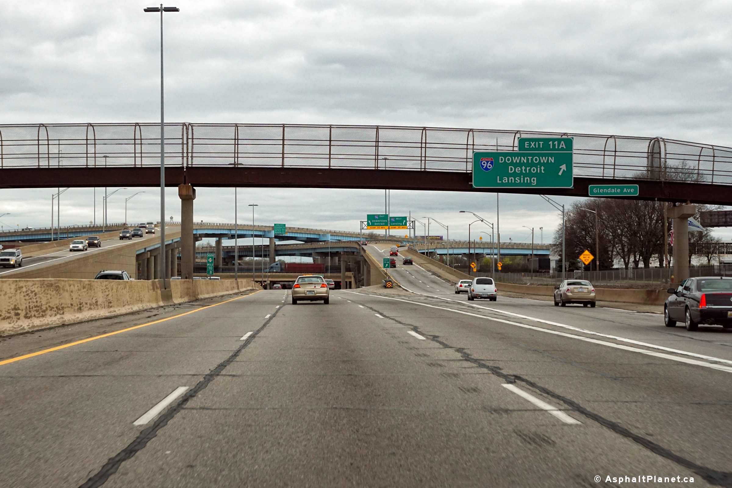
Wayne County |
The southbound turn-off signage for the Interstate 96 interchange is affixed to the Glendale Avenue pedestrian overpass. |
 |
||
|
Date: 4/21/2017 |
High-res: (1440x960) (2400x1600) |
|||
|
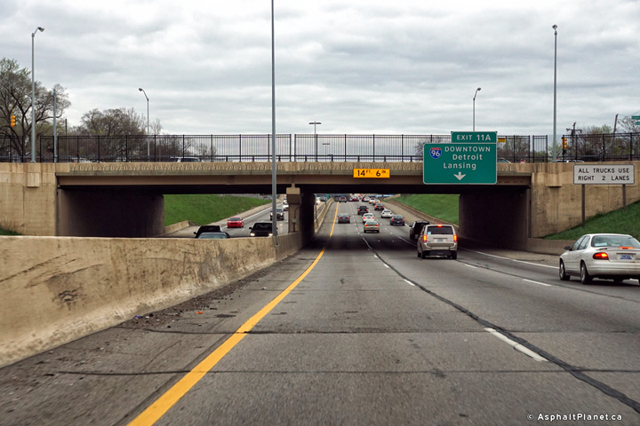
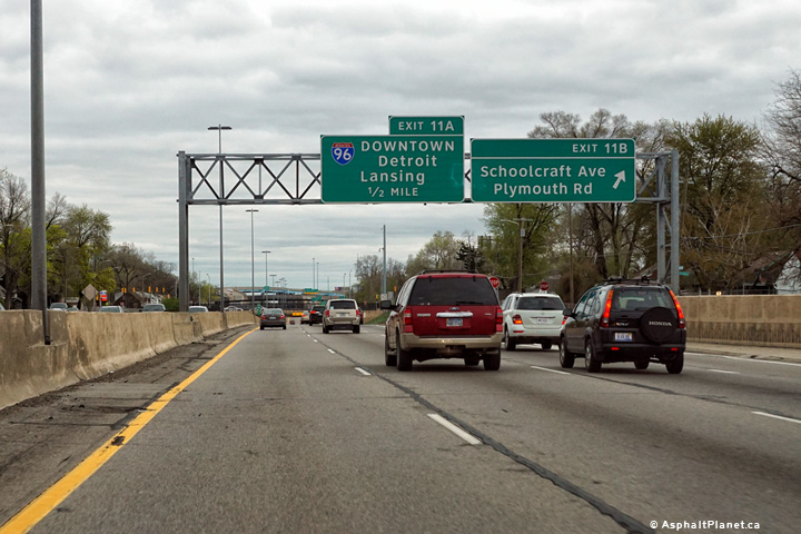
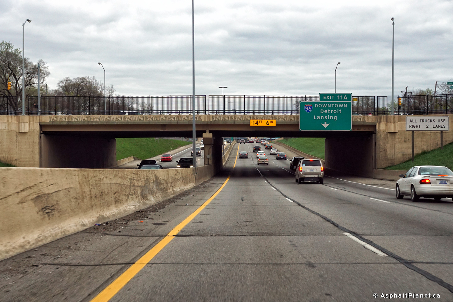
Wayne County |
Advanced signage for the I-96 interchange is affixed to Schoolcraft Road overpass. |
 |
||
|
Date: 4/21/2017 |
High-res: (1440x960) (2400x1600) |
|||
|
Wayne County |
Southbound signage at the off-ramp to Schoolcraft Road. |
 |
||
|
Date: 4/21/2017 |
High-res: (1440x960) (2400x1600) |
|||
|
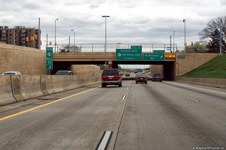
Wayne County |
Southbound signage at the off-ramp to McNichols Road. |
 |
||
|
Date: 4/21/2017 |
High-res: (1440x960) (2400x1600) |
|||
|
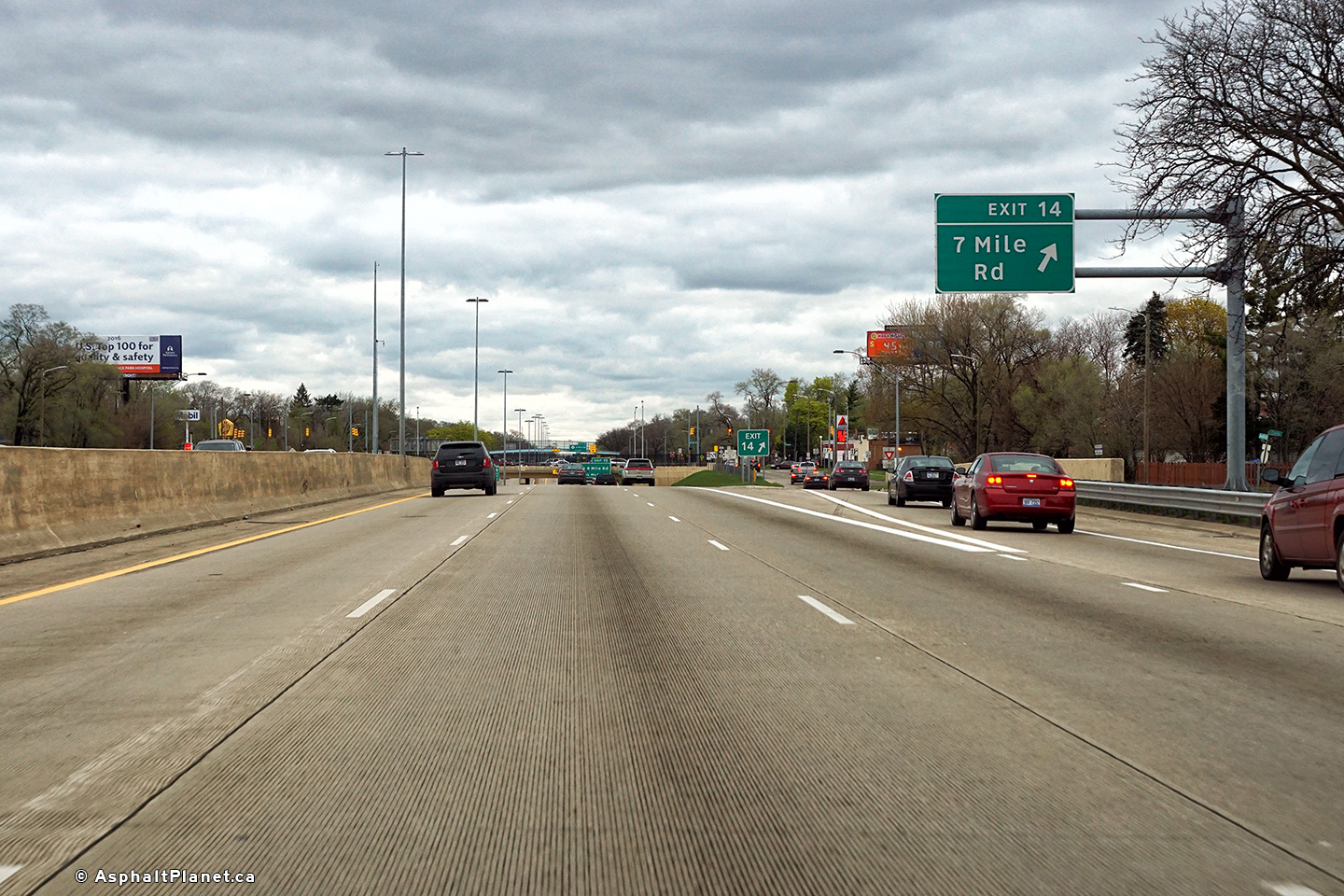
Wayne County |
View looking northerly at the off-ramp to Seven Mile Road. |
 |
||
|
Date: 4/21/2017 |
High-res: (1440x960) (2400x1600) |
|||
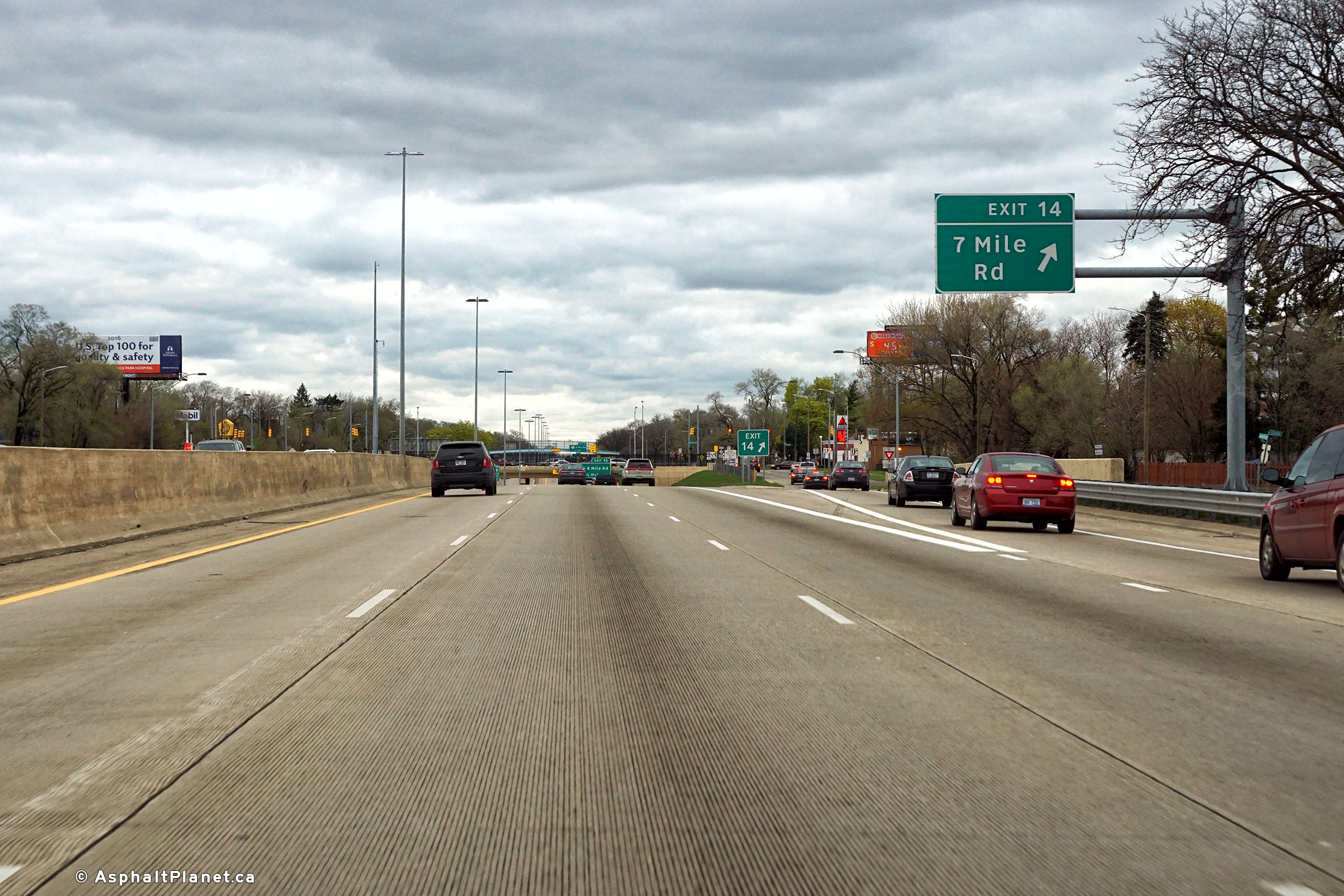
|
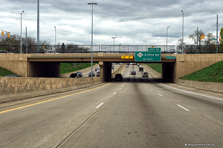
Wayne County |
The advanced signage for the Eight Mile Road interchange is affixed to the Seven Mile Road overpass. |
 |
||
|
Date: 4/21/2017 |
High-res: (1440x960) (2400x1600) |
|||
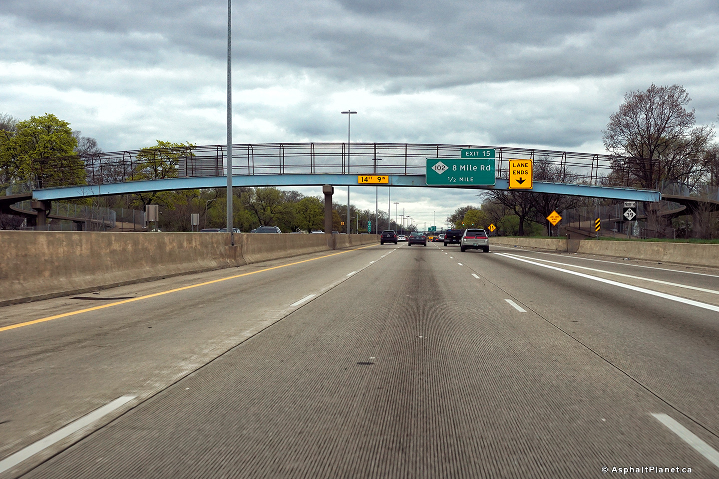
|
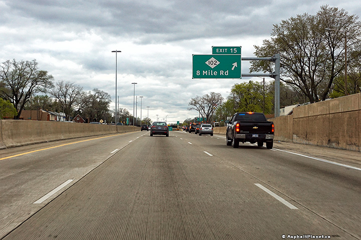
Wayne County |
Advanced signage for the Eight Mile Road interchange. |
 |
||
|
Date: 4/21/2017 |
High-res: (1440x960) (2400x1600) |
|||
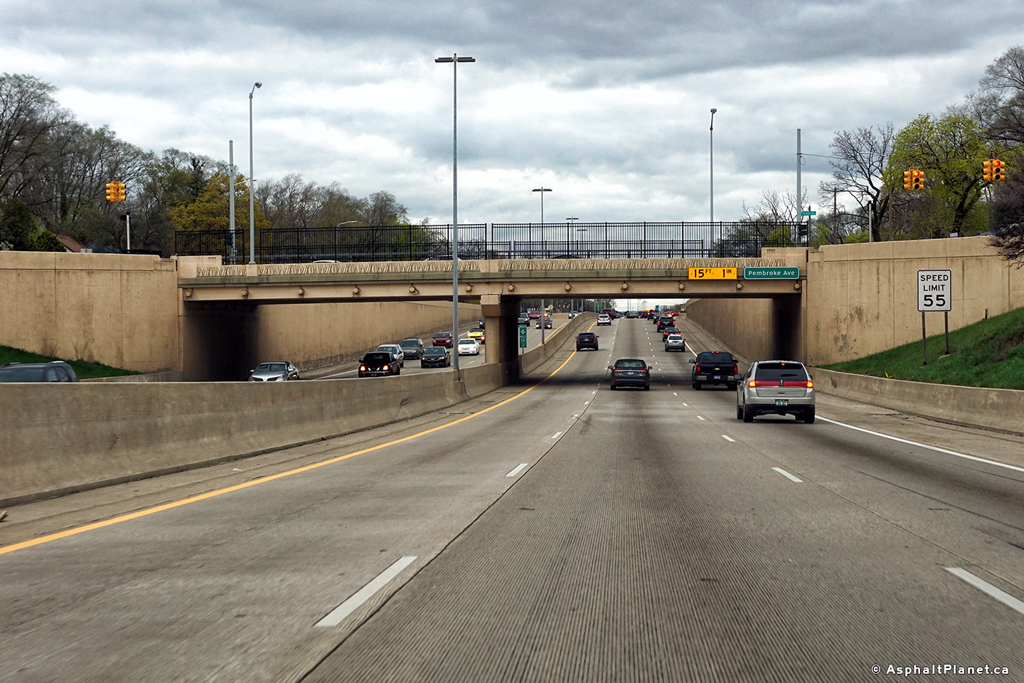
|
Wayne County |
View as the Southfield Freeway passes beneath the Pembroke Avenue overpass. |
 |
||
|
Date: 4/21/2017 |
High-res: (1440x960) (2400x1600) |
|||
|
Wayne County |
Signage at the northbound off-ramp to the Eight Mile Road interchange. |
 |
||
|
Date: 4/21/2017 |
High-res: (1440x960) (2400x1600) |
|||
|
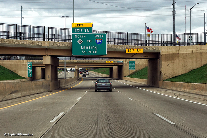
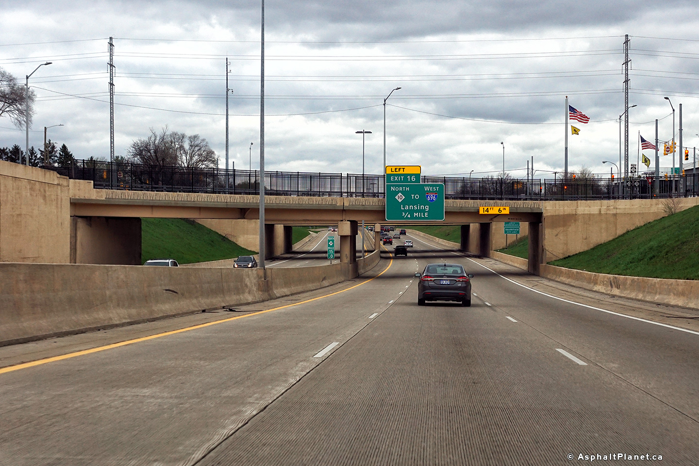
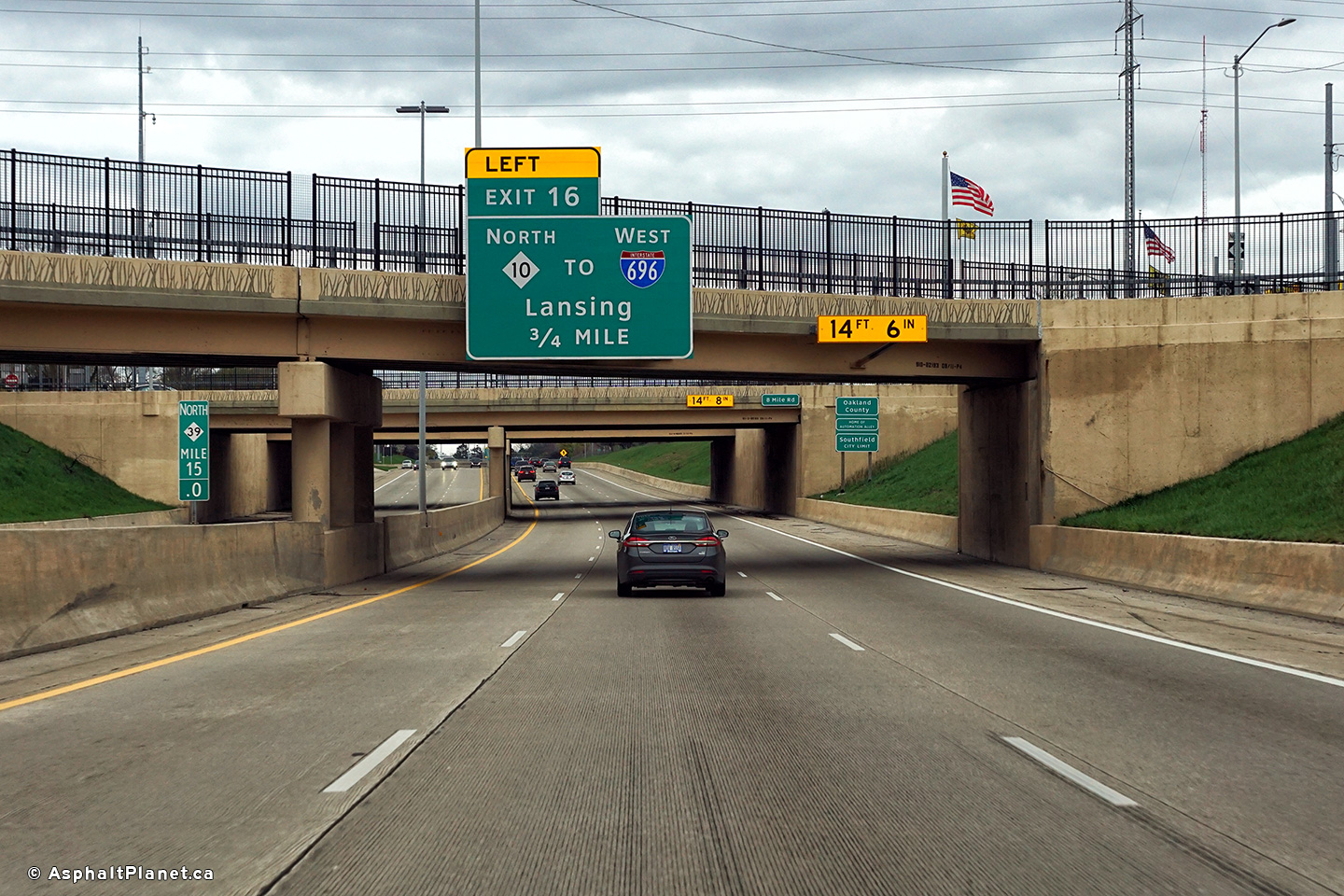
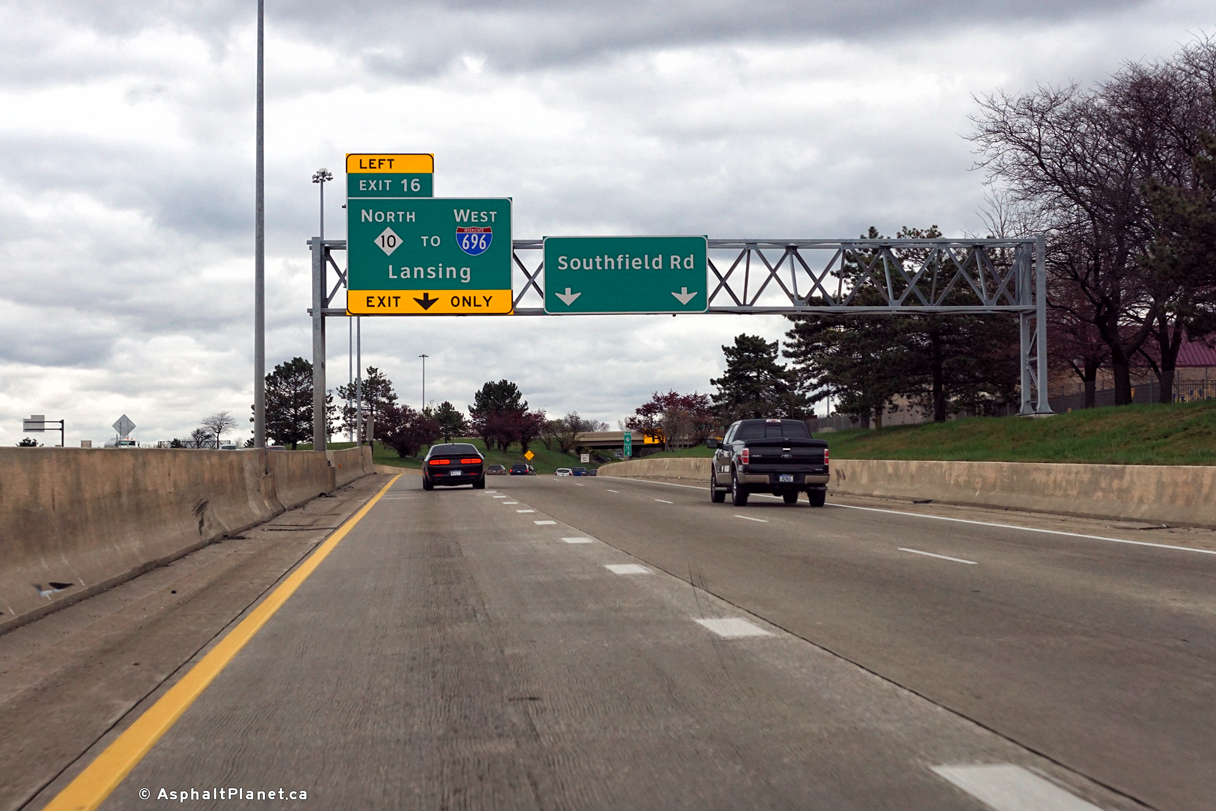
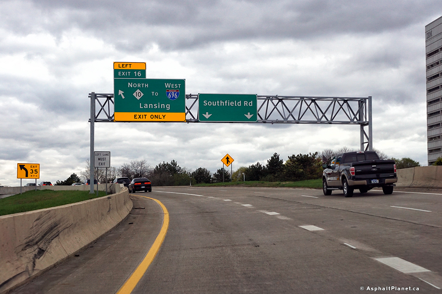
Wayne County |
The final northbound interchange from the Southfield Freeway is the left-hand ramp to M-10. |
 |
||
|
High-res: (1440x960) (2400x1600) |
||||
 |
||||
|
Date: 4/21/2017 |
High-res: (1440x960) (2400x1600) |
|||
|
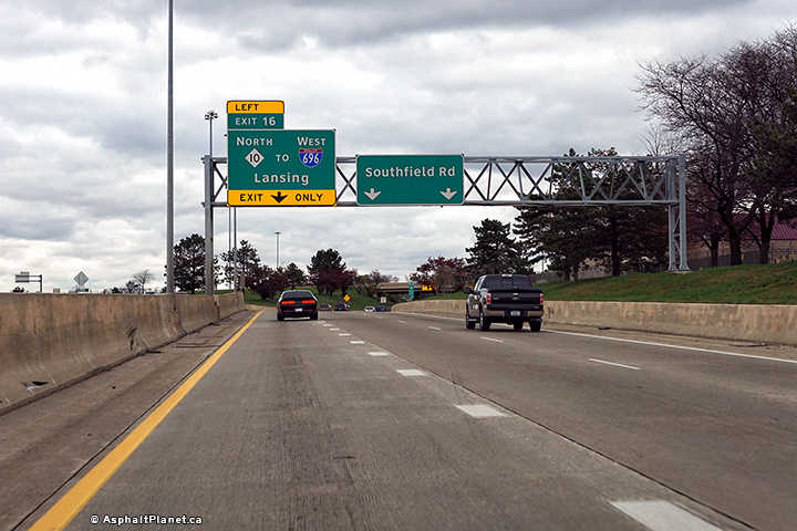
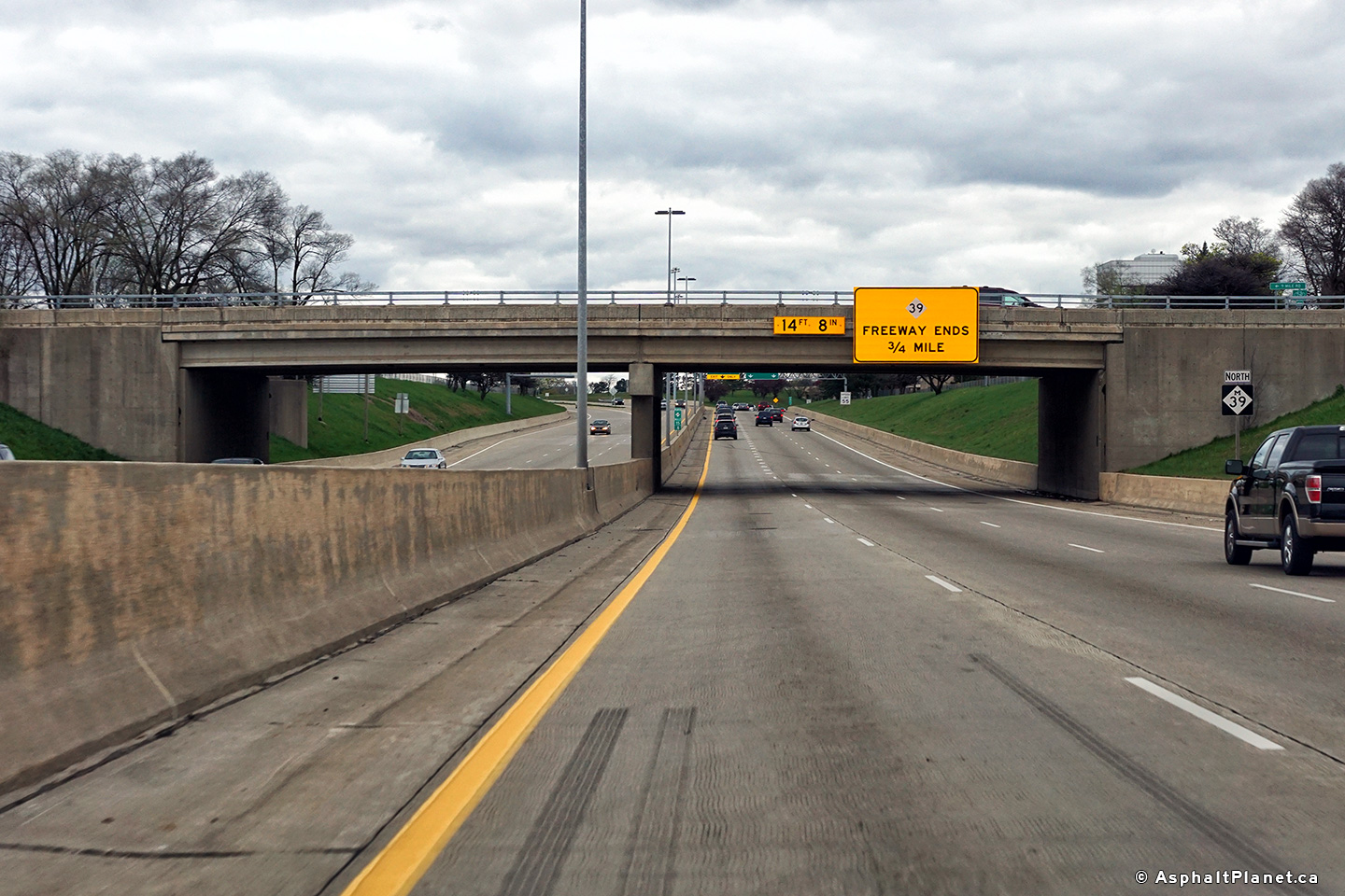
Wayne County |
M-39 ends at the M-10 interchange ahead. |
 |
||
|
Date: 4/21/2017 |
High-res: (1440x960) (2400x1600) |
|||
|
Oakland County |
Northbound advanced signage approaching the northern terminus of the Southfield Freeway. |
 |
||
|
Date: 4/21/2017 |
High-res: (1440x960) (2400x1600) |
|||
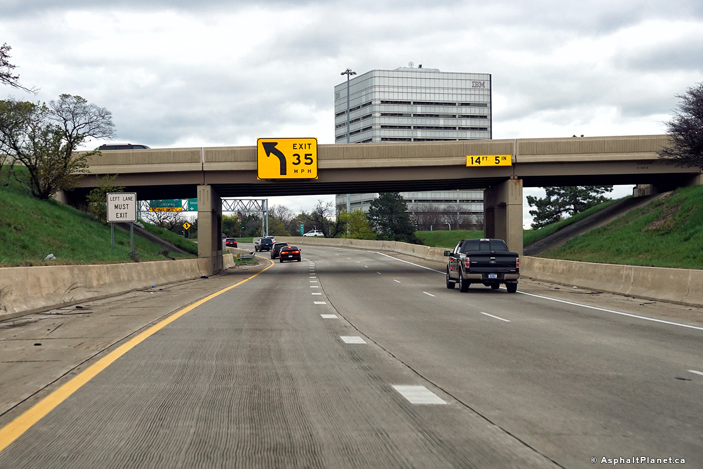
|
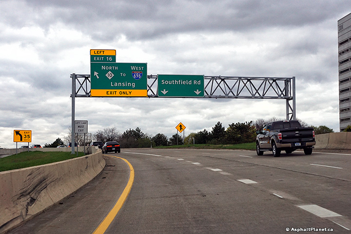
Oakland County |
The ramp to the M-10 Freeway is unexpectedly sharp, hence the large overhead signage to warn motorists to slow down. |
 |
||
|
Date: 4/21/2017 |
High-res: (1440x960) (2400x1600) |
|||
|
Oakland County |
Signage at the northern terminus of the Southfield Freeway. |
 |
||
|
Date: 4/21/2017 |
High-res: (1440x960) (2400x1600) |
|||
<- M-38
MI Highways
M-40 ->
Asphaltplanet.ca
© 2010-17 AsphaltPlanet.ca.
AsphaltPlanet@asphaltplanet.ca
Page Created: April 28, 2017.
Last Updated: July 8, 2017.