AsphaltPlanet.ca > Quebec > Route 301
|
Southern Terminus: Ontario Highway (Renfrew County Road) 653 at the Ontario / Québec Border. Northern Terminus: Route 105 at Kazabazua. Regions: Pontiac, La Vallée de-la Gatineau |
Pictures on this page are arranged in order from south to north. R-301 North photos are left-aligned in the last column, while R-301- South photos are right-aligned. Center-line pictures are centered within the last column.
|
Location |
Description |
Photo |
||
|
North- |
South- |
|||
|
Highway 653 carries Québec bound traffic to and from the Trans-Canada Highway. Click here for ON-653 images. |
||||
|
MRC de Pontiac |
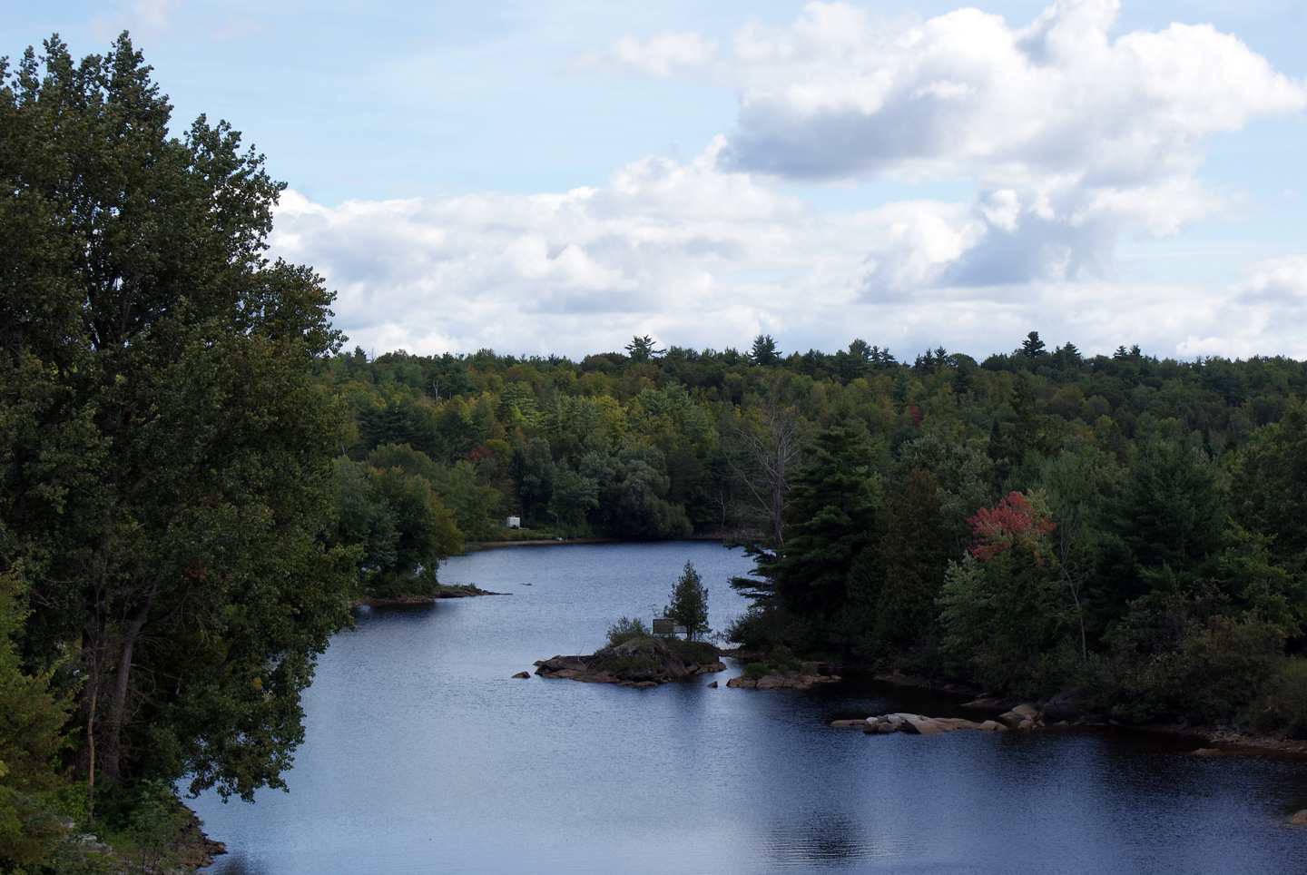
Scenic view of the western branch of the Ottawa River from the Québec/Ontario Border.
Vue panoramique de la branche ouest de la rivière des Outaouais à partir de la frontière de l'Ontario. |
|
||
|
Date: 9/12/2009 |
High-res: (1440x960) (2400x1600) |
|||
|
MRC de Pontiac |
View looking southerly from Limerick Island towards the Chenaux Hydro Dam. Several dams have been constructed along the Ottawa River to control water flows and generate power for the Ottawa Valley.
Vue vers le sud à partir de l'île de Limerick vers le barrage d'Hydro Chenaux. Plusieurs barrages ont été construits le long de la rivière des Outaouais pour contrôler les flux de l'eau et produire de l'énergie pour la vallée de l'Outaouais. |
|
||
|
Date: 9/12/2009 |
||||
|
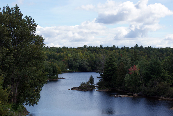
MRC de Pontiac |
Southerly view towards the Ontario Boundary from Limerick Island.
Vue vers le sud et la frontière de l'Ontario à partir d'île Limerick. |
|
||
|
Date: 9/12/2009 |
||||
|
MRC de Pontiac |
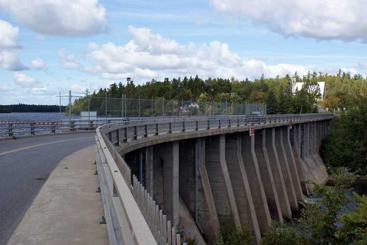
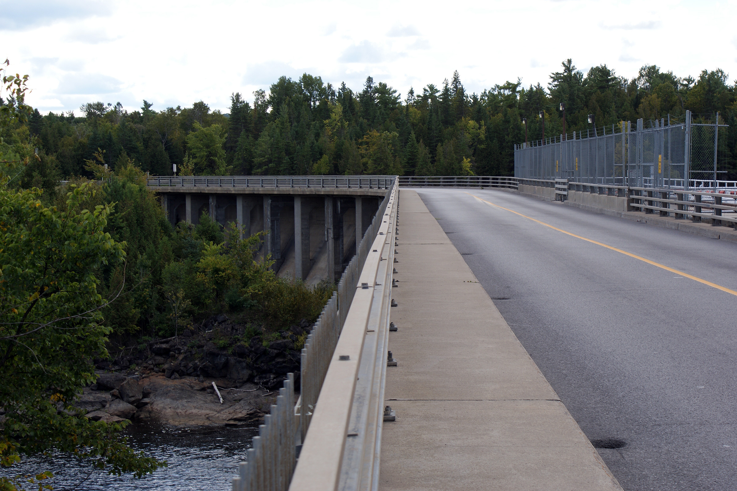
Northerly view along the eastern Portage-du-Fort Dam. An impressive amount of concrete was used to dam the Ottawa River at Limerick Island. The impression of the old planks that were used to form the concrete are still visible in the concrete piers that support the roadway. This indicates that this large structure was constructed prior to the post world war II boom, before the time when plywood had gained universal acceptance as a building material.
Voir le nord le long du barrage de Portage-du-Fort. Une somme impressionnante de béton ont été utilisés pour construire le barrage à l'île de Limerick . L'impression des vieilles planches qui ont été utilisés pour former le béton sont toujours visibles dans les piliers de béton qui supportent la chaussée. Ceci indique que cette grande structure a été construite avant l'heure que le contreplaqué obtenu une reconnaissance universelle en tant que matériau de construction. |
|
||
|
Date: 9/12/2009 |
High-res: (1440x960) (2400x1600) |
|||
|
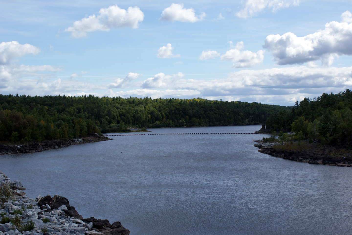
MRC de Pontiac |
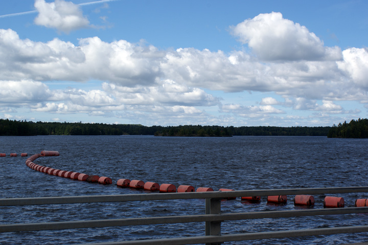
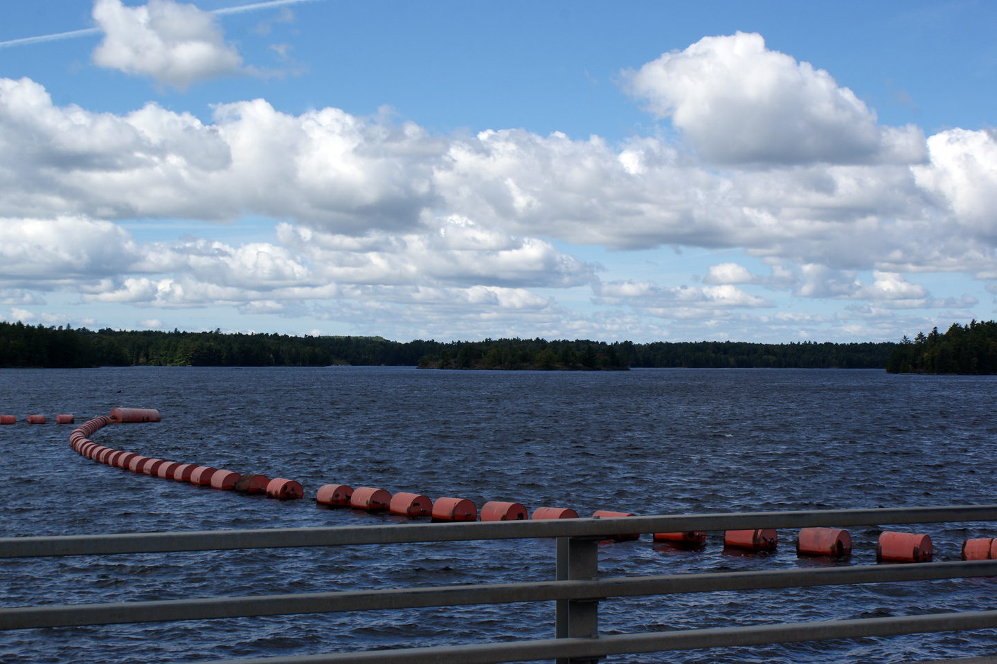
Upstream view of the Ottawa River from the Portage-du-Fort dam.
Vue en amont de la rivière des Outaouais à partir du barrage Portage-du-Fort. |
|
||
|
Date: 9/12/2009 |
||||
|
MRC de Pontiac |
Downstream view of the River from Highway 301.
Vue aval de la rivière de la route 301. |
|
||
|
Date: 9/12/2009 |
||||
|
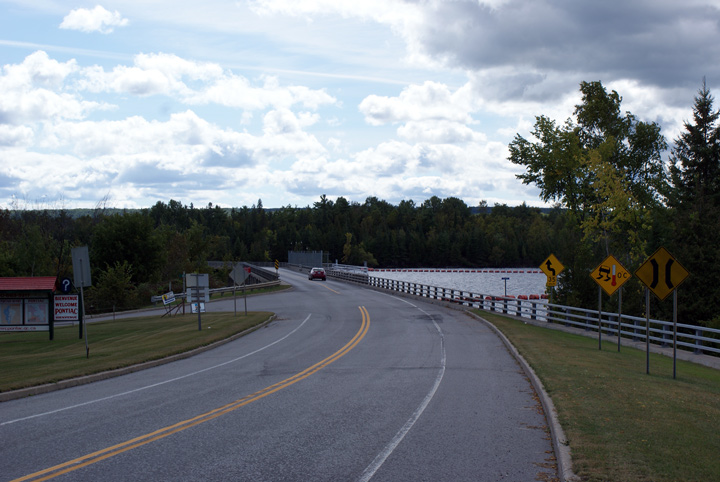
MRC de Pontiac |
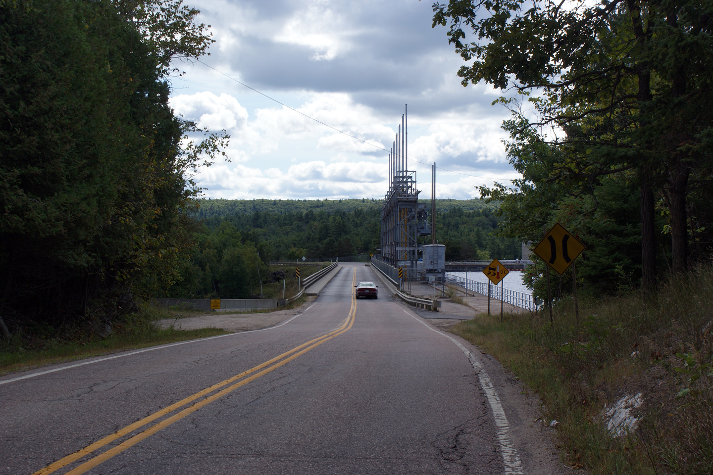
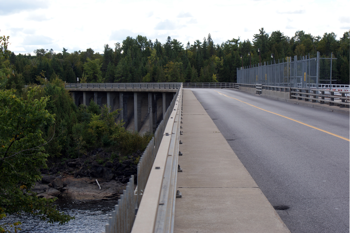
Southerly view along as Route 301 crosses overtop of the Portage-du-Fort Dam. The highway is suspended overtop of the downward side of the dam by a network of columns.
Vue vers le sud que la route 301 passe au-dessus du barrage de Portage-du-Fort. La route est suspendue au-dessus du barrage par un systeme de colonnes |
|
||
|
Date: 9/12/2009 |
High-res: (1440x960) (2400x1600) |
|||
|
MRC de Pontiac |
View looking southerly from the Quebec side of the Ottawa River as Highway 301 passes overtop of Portage-du-Fort Dam onto Limerick Island.
Vue vers le sud à partir du côté québécois de la rivière des Outaouais, où la route 301 passe sur le barrage de Portage-du-Fort vers l'île de Limerick. |
|
||
|
Date: 9/12/2009 |
||||
|
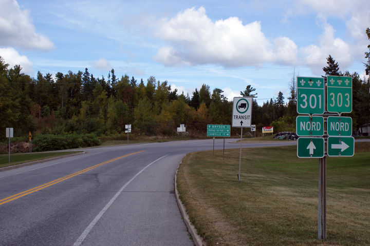
MRC de Pontiac |
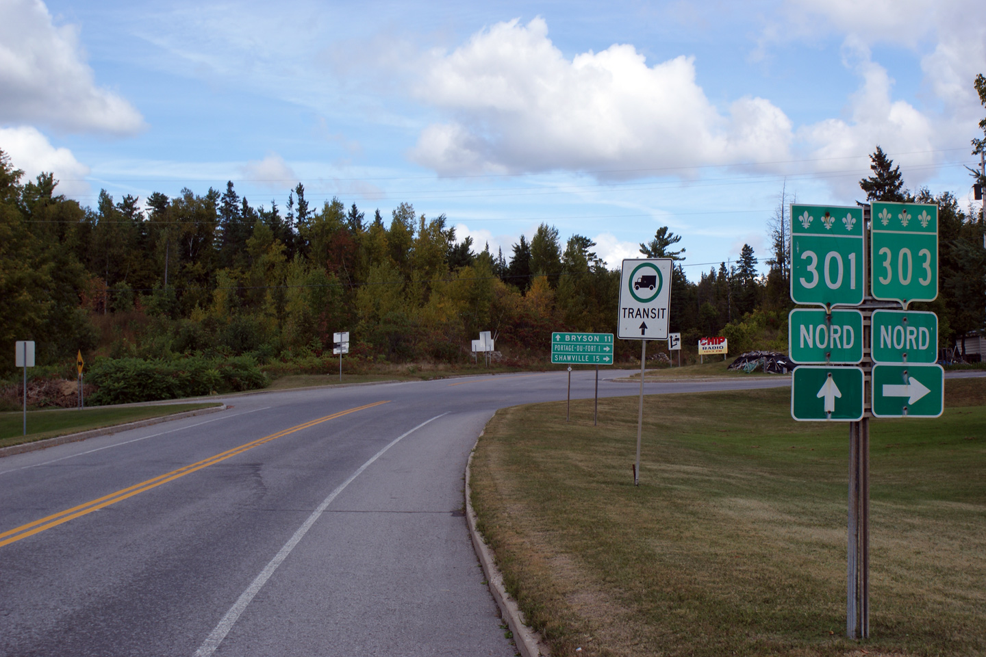
Northbound junction assembly for Route 303.
Ensemble de jonction en direction du nord de la Route 303. |
|
||
|
Date: 9/12/2009 |
||||
|
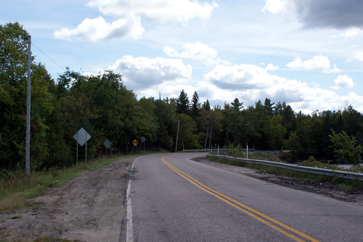
Route 303 departs on its northeasterly trajectory at Portage-du-Fort. Click here for R-303 images. |
||||
<-
R-299 PQ Highways
R-303 ->
AsphaltPlanet.ca
© 2010-2011 AsphaltPlanet.ca.
AsphaltPlanet@asphaltplanet.ca
Page Created: June 13, 2011.
Last Updated: June 13, 2011.


