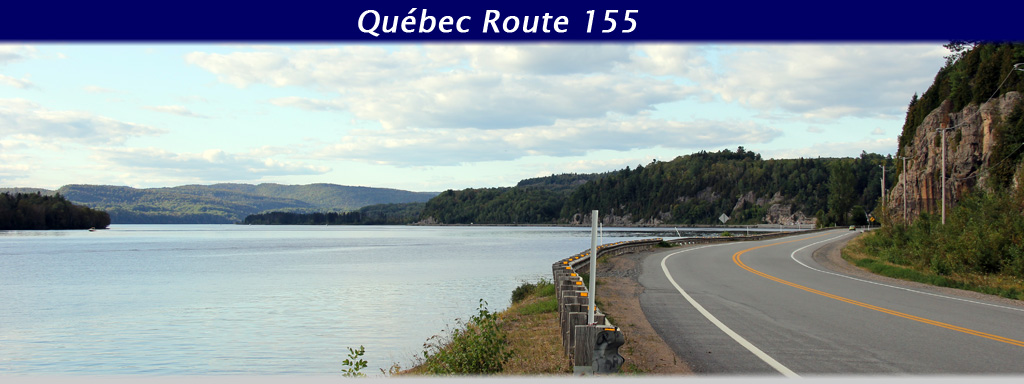
AsphaltPlanet.ca > Quebec > Route 155
|
Southern Terminus: (As of 2005) Autoroute 20 interchange south of Saint-Leonard-d'Aston. Northern Terminus: Junction Route 169 in Chambord. Regions: Nicolet-Yamaska, Trois-Rivières, Maskinongé, Shawinigan, Mékinac, La Tuque, Domaine-du-Roy. |
Pictures on this page are arranged in order from south to north. R-155 North photos are left-aligned in the last column, while R-155- South photos are right-aligned. Center-line pictures are centered within the last column.
|
Location |
Description |
Photo |
||
|
North- |
South- |
|||
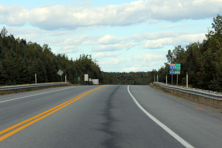
|
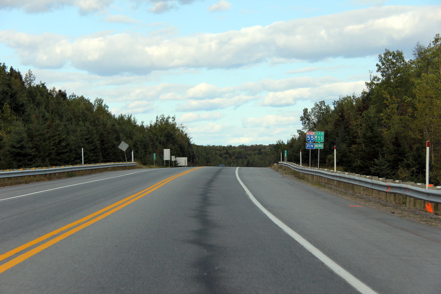
Autoroute 55 continues southerly from Shawinigan through Trois-Rivières, Drummondville, Sherbrooke, and eventually the U.S. border. Click here for Autoroute 55 images. |
||||
|
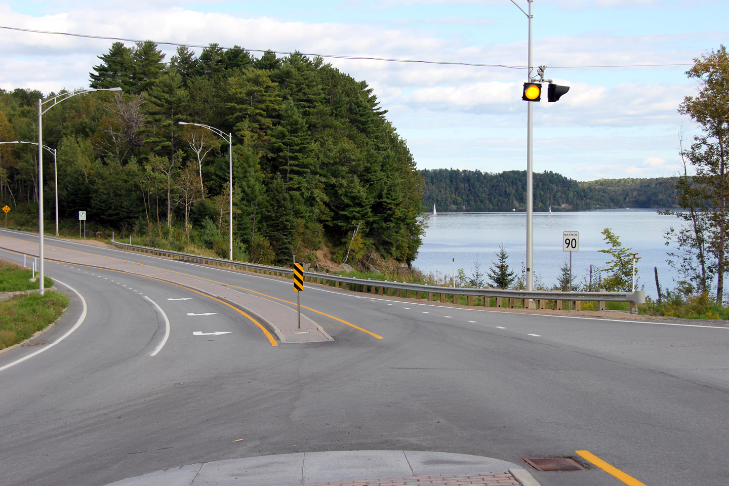
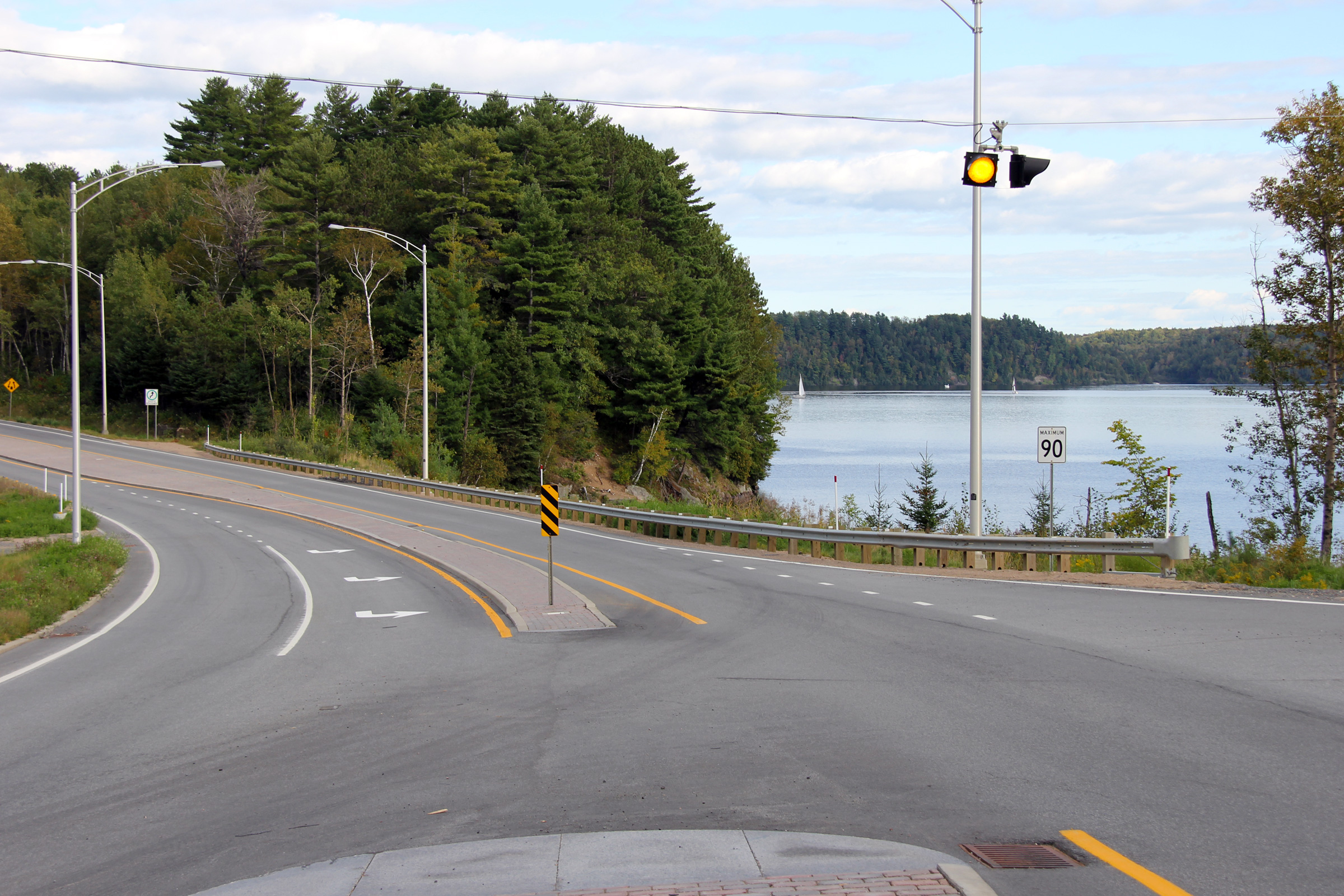
MRC de Montérégie |
Signage denoting the northern terminus of Autoroute 55 just south of the Saint-Maurice River.
Signalisation indiquant le terminus nord de l'autoroute 55 juste au sud de la rivière Saint-Maurice. |
|
||
|
Date: 9/12/2009 |
High-res: (1440x960) (2400x1600) |
|||
|
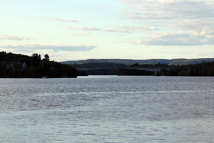
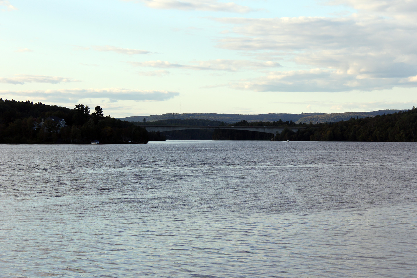
MRC de Montérégie |
Northerly view towards the pont-des-Piles bridge that carries Highway 155 overtop of the Saint-Maurice River.
Vue vers le nord en direction du pont-des-Piles qui porte la route 155 au-dessus de la rivière Saint-Maurice. |
 |
||
|
Date: 9/12/2009 |
High-res: (1440x960) (2400x1600) |
|||
|
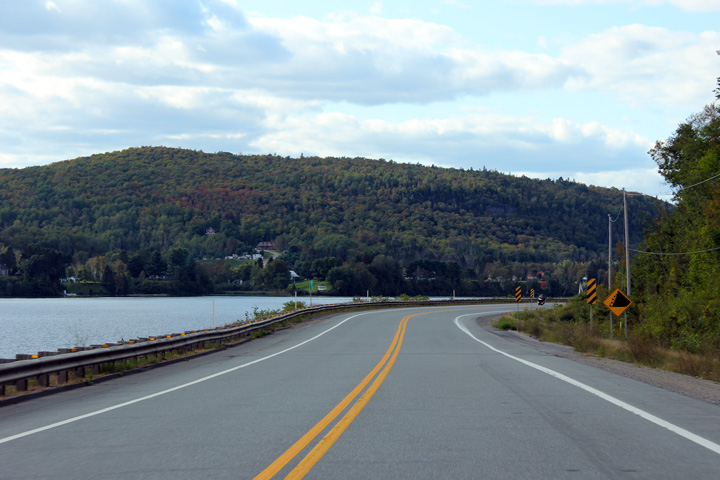
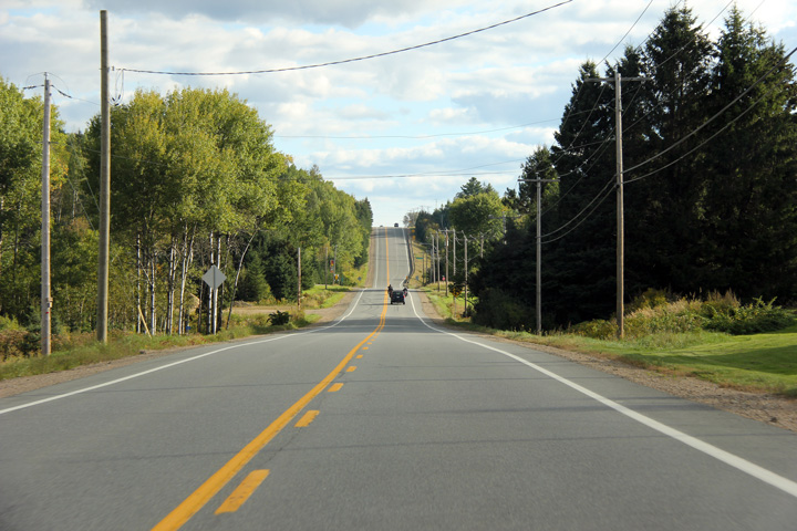
MRC de Mékinac |
Northerly view along Route 155 at the Forth Avenue intersection in Grandes-Piles.
Vue vers le nord le long de la route 155 au carrefour de l'av. Quatrième à Grandes-Piles. |
 |
||
|
Date: 9/12/2009 |
High-res: (1440x960) (2400x1600) |
|||
|
MRC de Mékinac |
Northbound view departing Grandes-Piles.
Vue vers le nord au départ de Grandes-Piles. |
 |
||
|
Date: 9/12/2009 |
High-res: (1440x960) (2400x1600) |
|||
|
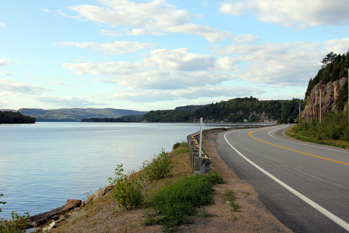
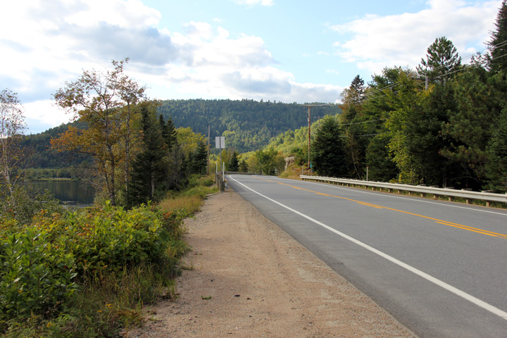
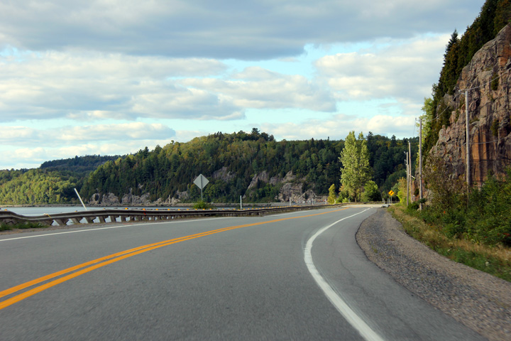
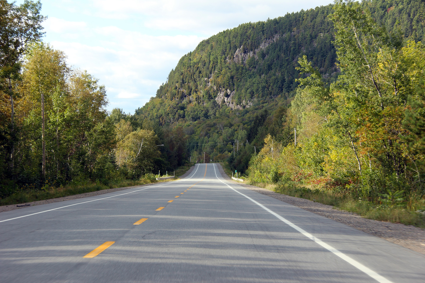
MRC de Mékinac |
The eastern cliff of the Saint-Maurice River valley dominates Highway 155 between Grandes-Piles and Saint-Roch-de-Mékinac.
Les falaises à l'est de la vallée de la rivière Saint-Maurice domine la route 155 entre Grandes-Piles et Saint-Roch-de-Mékinac. |
|
||
|
Date: 9/12/2009 |
High-res: (1440x960) (2400x1600) |
|||
|
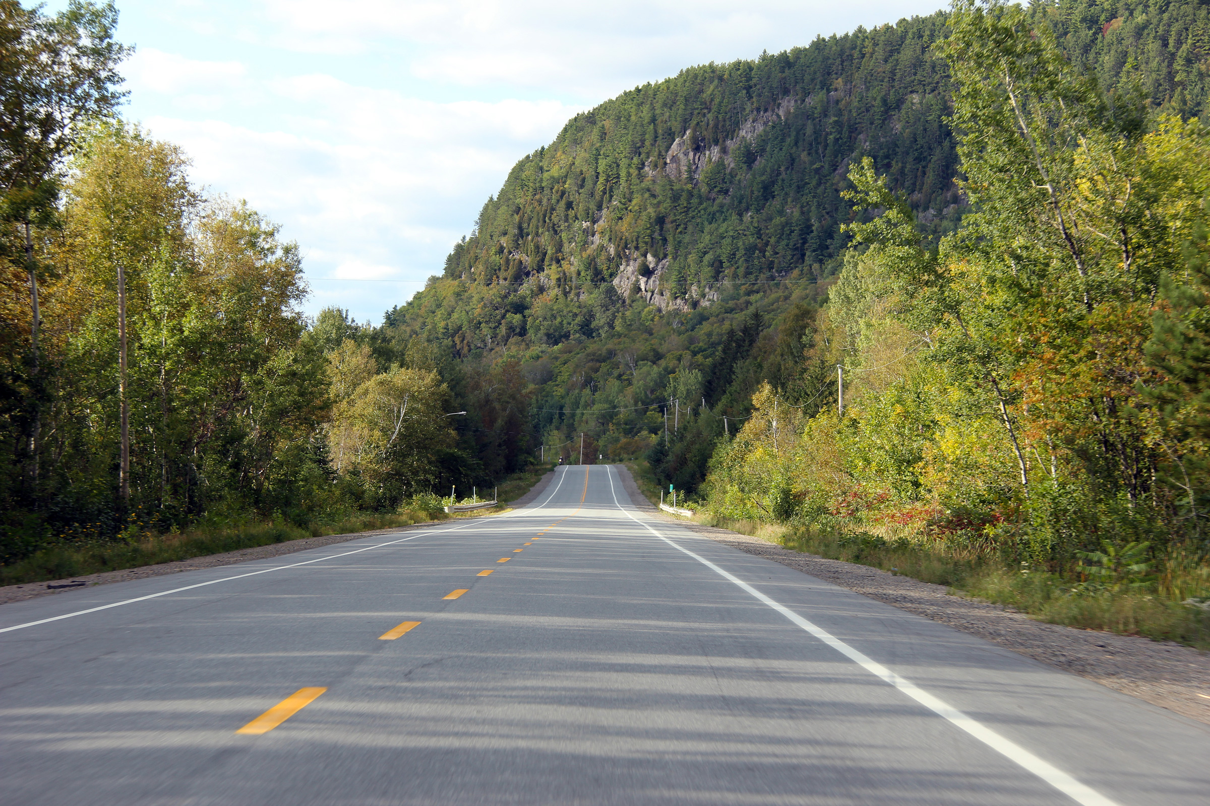
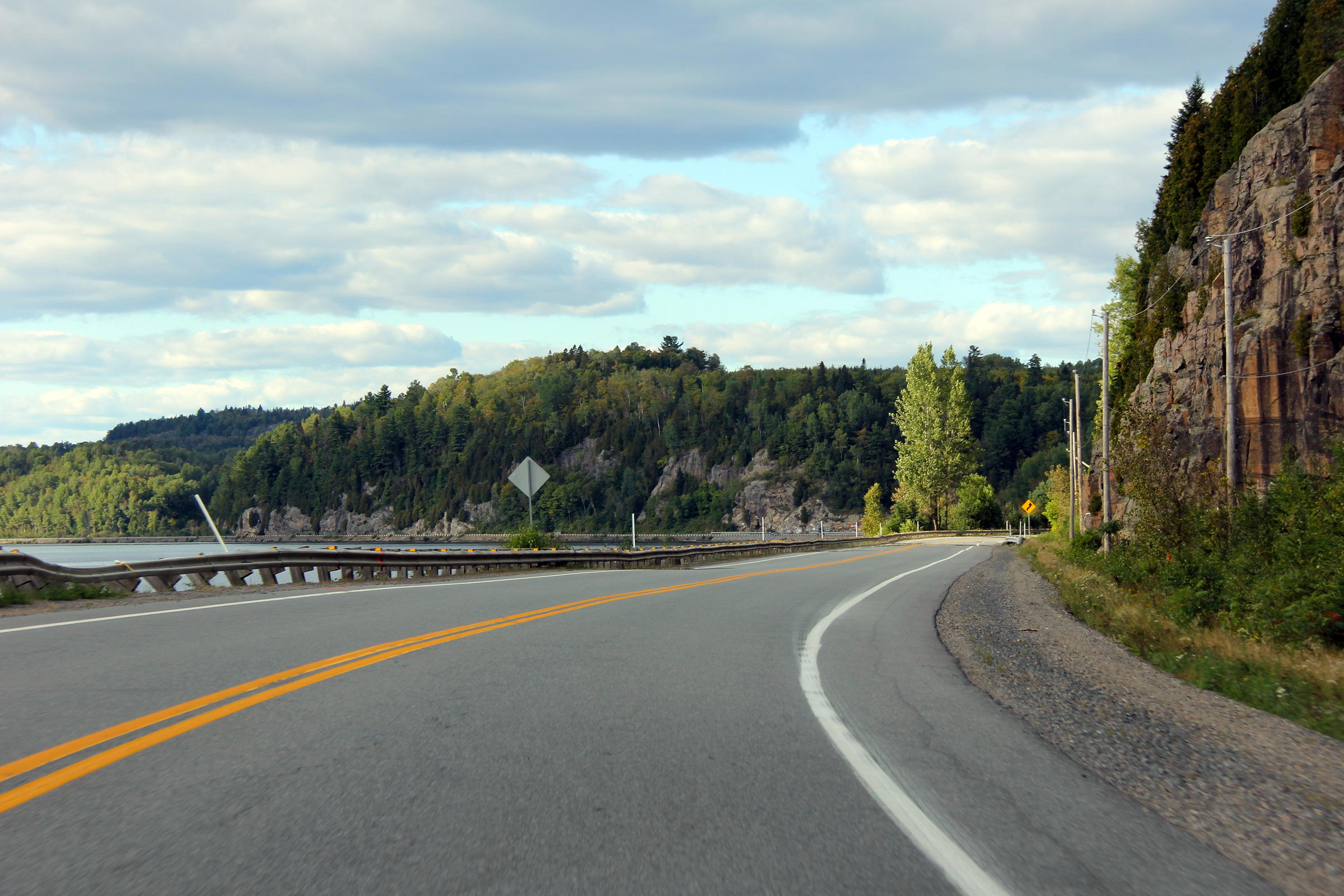
MRC de Mékinac |
Highway 155 as it gracefully curves along the eastern bank of the Saint-Maurice River. The trees on the opposite side of the river are just beginning to show their fall colours.
La route 155 comme elle s'incurve gracieusement le long de la rivière Saint-Maurice. Les arbres sur le côté opposé de la rivière commencent tout juste à montrer leurs couleurs d'automne. |
 |
||
|
Date: 9/12/2009 |
High-res: (1440x960) (2400x1600) |
|||
|
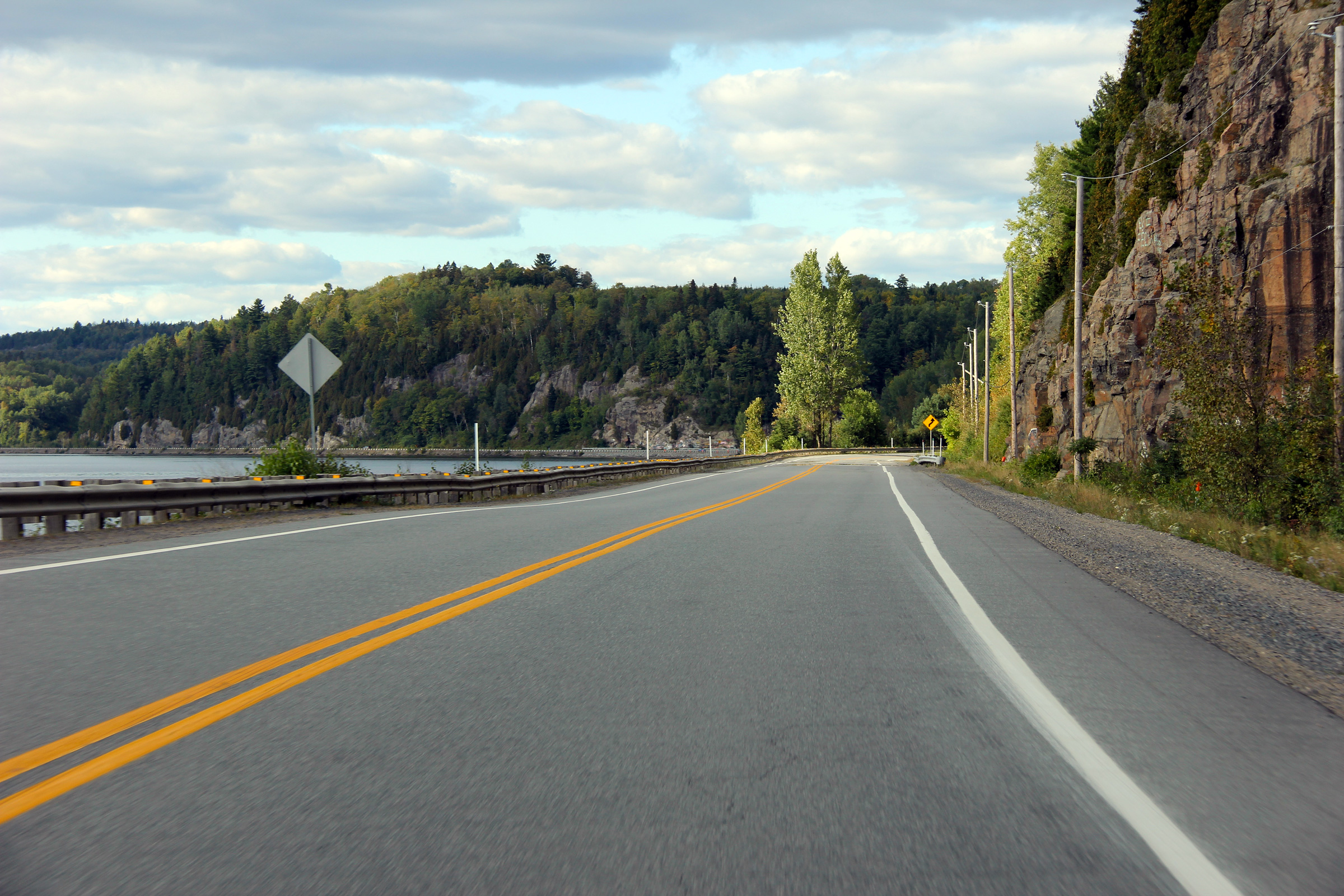
MRC de Mékinac |
Another view looking northerly along Highway 155.
Un autre point de vue vers le nord le long de la route 155. |
|
||
|
Date: 9/12/2009 |
High-res: (1440x960) (2400x1600) |
|||
|
MRC de Mékinac |
Northerly view of the Saint-Maurice River from a small roadside picnic area between Grandes-Piles and Saint-Roch-de-Mékinac.
Vue du nord de la rivière Saint-Maurice à partir d'une petite aire de pique-nique à la côte de la route 155 Grandes-Piles et Saint-Roch-de-Mékinac. |
|
||
|
Date: 9/12/2009 |
High-res: (1440x960) (2400x1600) |
|||
|
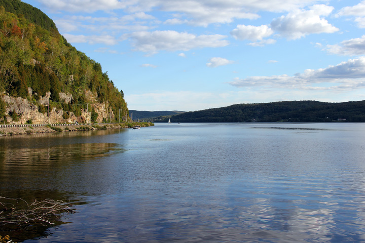
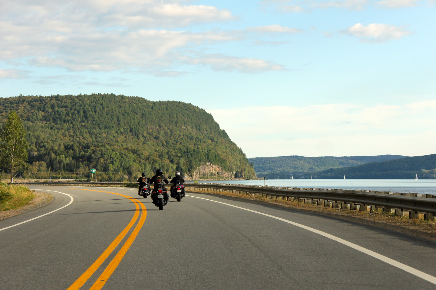
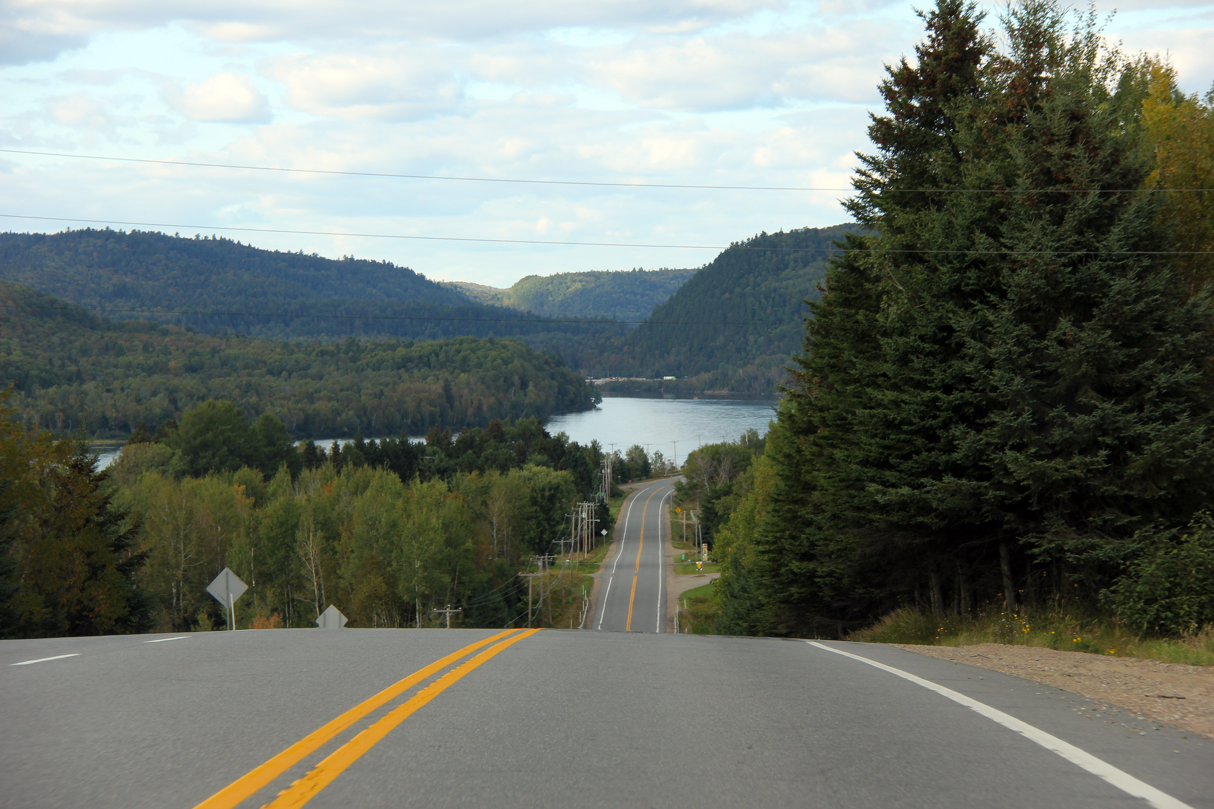
MRC de Mékinac |
Two views looking northerly along Highway 155 from the same roadside picnic area as the above photo. Highway 155 is one of the most stunningly beautiful highways that I have ever driven.
Deux points de vue vers le nord le long de la route 155 à partir de l'aire de pique-nique même que la photo ci-dessus. La route 155 est l'une des routes les plus belle que j'aie jamais conduit. |
 |
||
|
High-res: (1440x960) (2400x1600) |
||||
|
|
||||
|
Date: 9/12/2009 |
High-res: (1440x960) (2400x1600) |
|||
|
MRC de Mékinac |
Two views of Highway 155. Here the cliff had to be blasted away to create a platform for the highway.
Deux vues de la route 155. Ici, la falaise a dû être dynamité loin de créer une plate-forme pour la route. |
|
||
|
High-res: (1440x960) (2400x1600) |
||||
|
|
||||
|
Date: 9/12/2009 |
High-res: (1440x960) (2400x1600) |
|||
|
MRC de Mékinac |
Highway 155 curves with the river valley around this small inlet.
La route 155 fait une courbe avec le mur de la vallée du fleuve autour de cette petite crique. |
|
||
|
Date: 9/12/2009 |
High-res: (1440x960) (2400x1600) |
|||
|
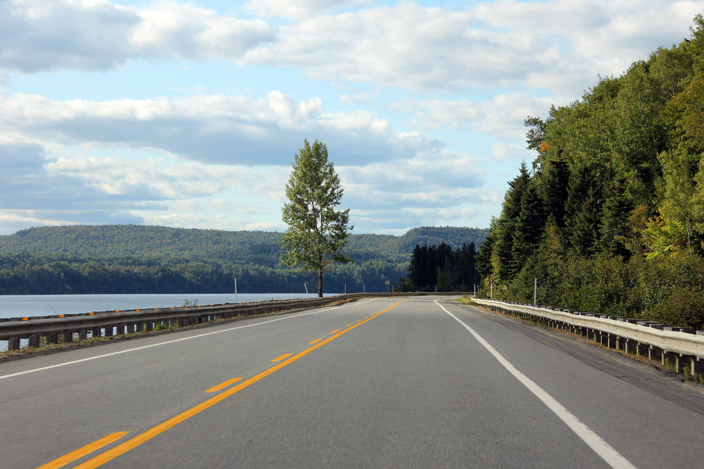
MRC de Mékinac |
A lone tree lies between Highway 155 and the Saint-Maurice River in this view.
Dans cette photo, un seul arbre se dresse entre la route 155 et la rivière Saint-Maurice. |
|
||
|
Date: 9/12/2009 |
High-res: (1440x960) (2400x1600) |
|||
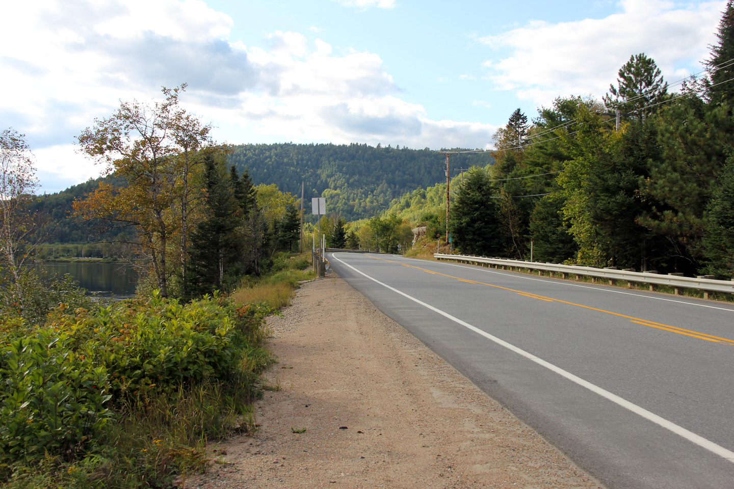
|
MRC de Mékinac |
Southerly view once again beside the river.
Vue vers le sud une fois de plus à côté de la rivière. |
 |
||
|
Date: 9/12/2009 |
High-res: (1440x960) (2400x1600) |
|||
|
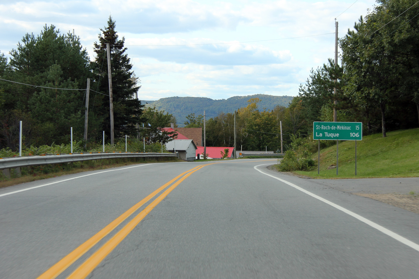
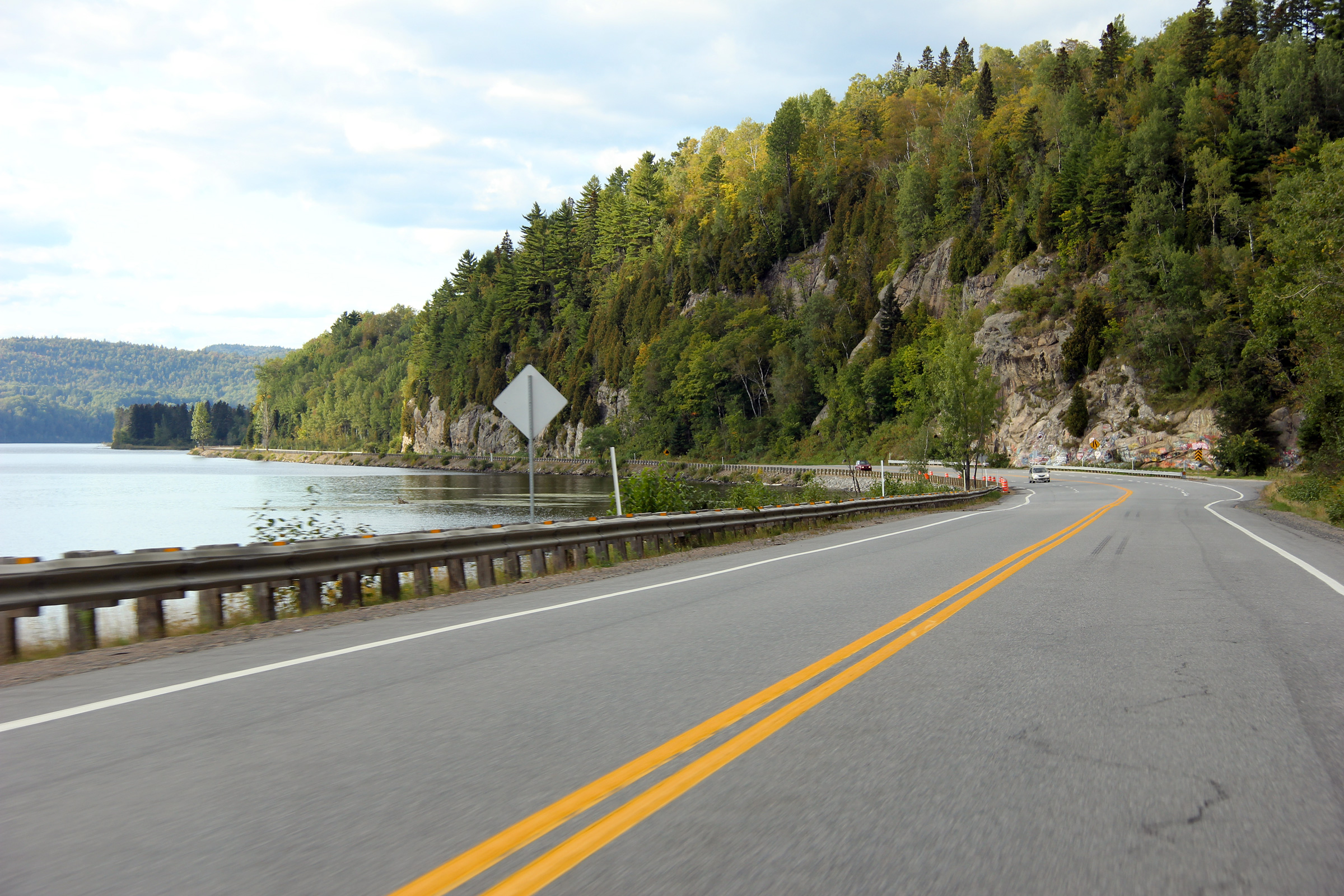
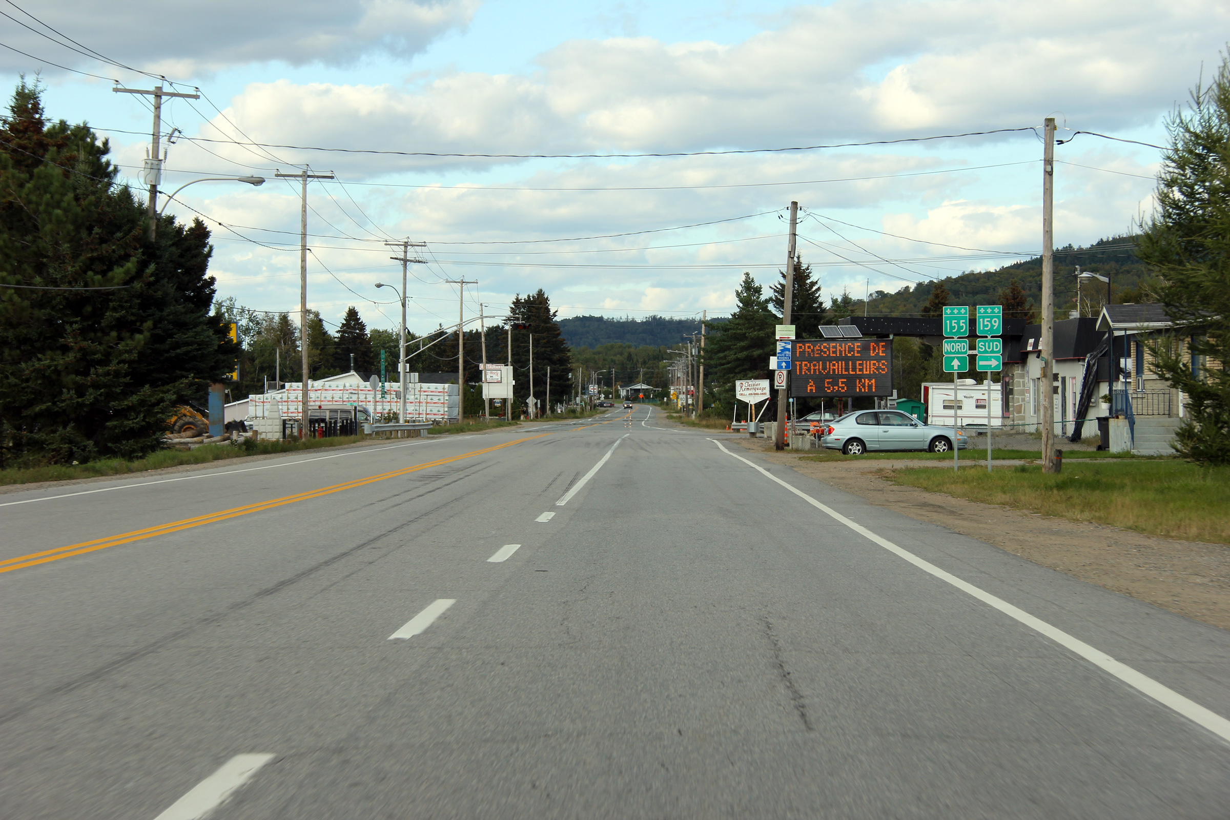
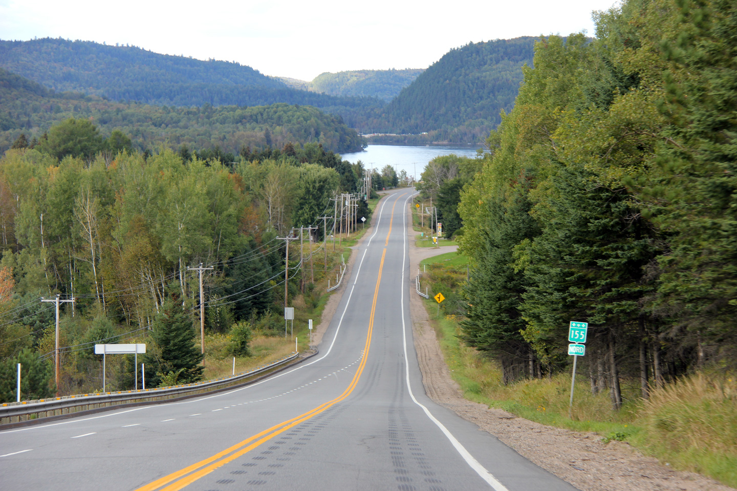
MRC de Mékinac |
Southerly view from just south of the Highway 159 intersection.
Vue vers le sud à partir de juste au sud du carrefour de la route 159. |
|
||
|
Date: 9/12/2009 |
High-res: (1440x960) (2400x1600) |
|||
|
MRC de Mékinac |
Northerly view at the Highway 159 intersection in Saint-Roch-de-Mékinac.
Vue vers le nord au carrefour de la route 159 à Saint-Roch-de-Mékinac. |
|
||
|
Date: 9/12/2009 |
High-res: (1440x960) (2400x1600) |
|||
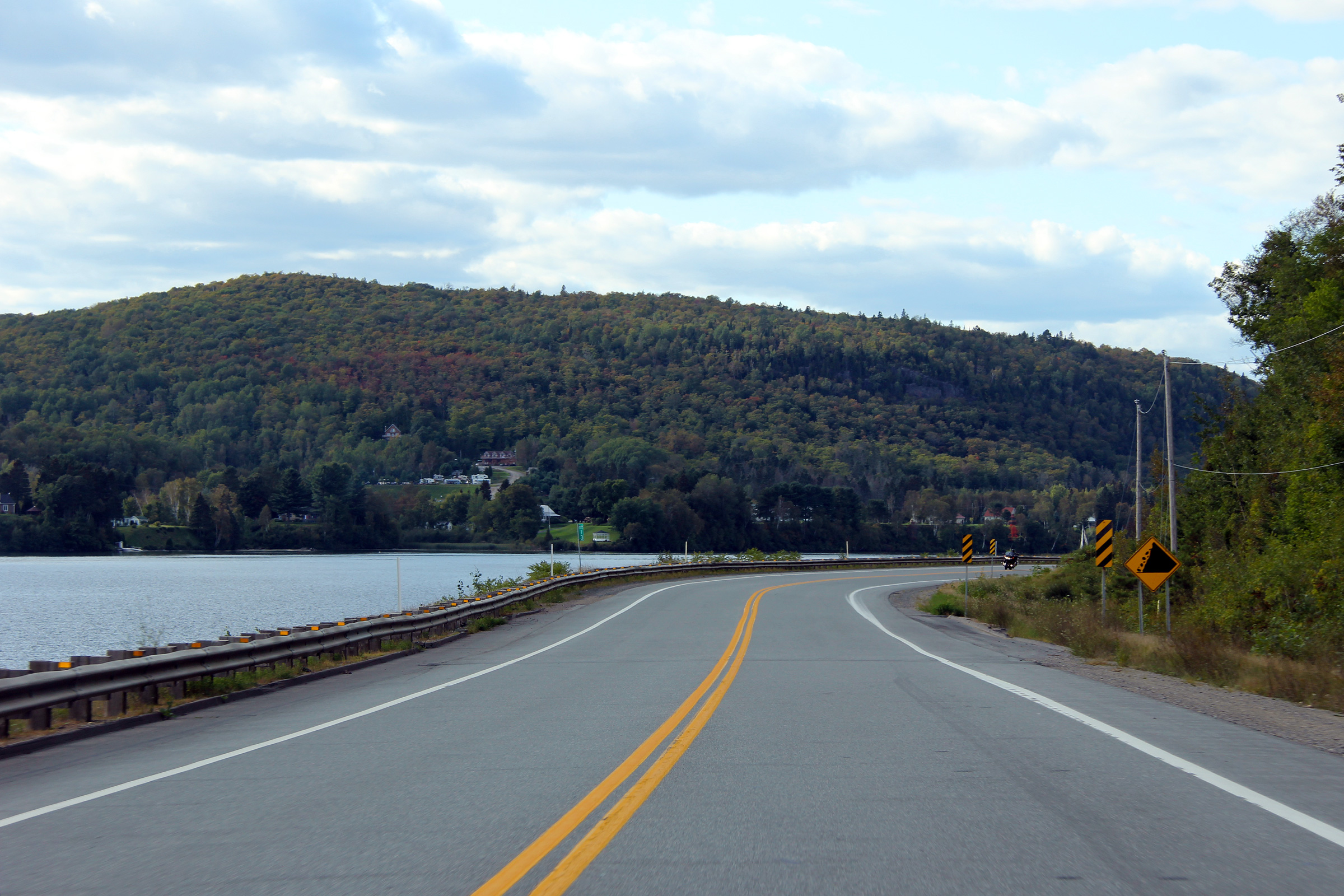
|
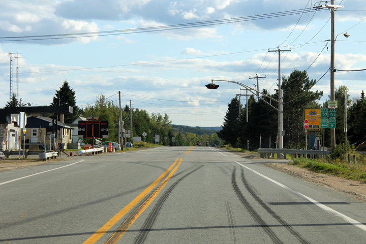
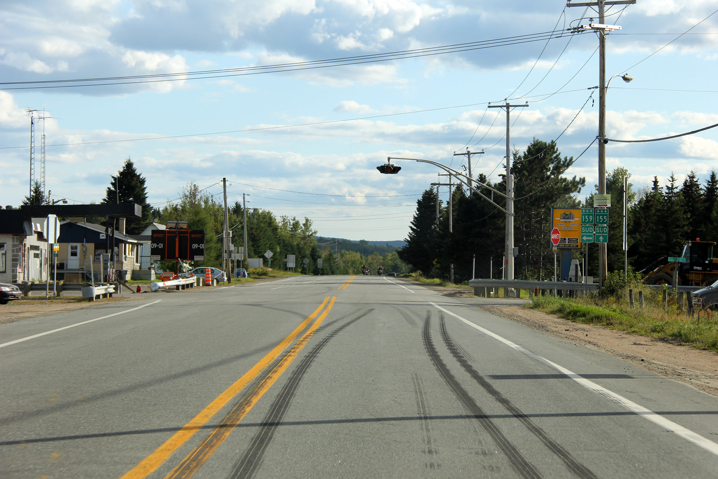
MRC de Mékinac |
Southbound view along Highway 155 at the Highway 159 intersection in Saint-Roch-de-Mékinac. The burnt tire tracks in the roadway seem to indicate a need for a left hand turn lane for southbound traffic turning onto Highway 159.
Vue en direction sud sur la route 155 à la carrefour de la route 159 en Saint-Roch-de-Mékinac. Les traces de pneus brûlés sur la chaussé semblent indiquer la nécessité d'une voie de virage à gauche pour la circulation en direction sud qui tourne à gauche a la route 159. |
|
||
|
Date: 9/12/2009 |
High-res: (1440x960) (2400x1600) |
|||
|
MRC de Mékinac |
Two views as Highway 155 quickly descends back into the river valley from Saint-Roch-de-Mékinac.
Deux points de vue qui montrent la route 155 descend vite dans la vallée du fleuve de Saint-Roch-de-Mékinac. |
 |
||
|
High-res: (1440x960) (2400x1600) |
||||
 |
||||
|
Date: 9/12/2009 |
High-res: (1440x960) |
|||
|
MRC de Mékinac |
This view looks southerly towards the 10% grade that carries Highway 155 from the river valley into Saint-Roch-de-Mékinac.
Ce point de vue semble sud vers la pente de 10% qui porte la route 155 à partir de la vallée du fleuve vers Saint-Roch-de-Mékinac. |
 |
||
|
Date: 9/12/2009 |
High-res: (1440x960) (2400x1600) |
|||
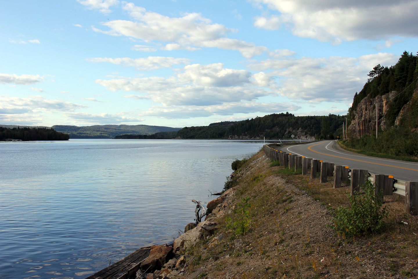
|
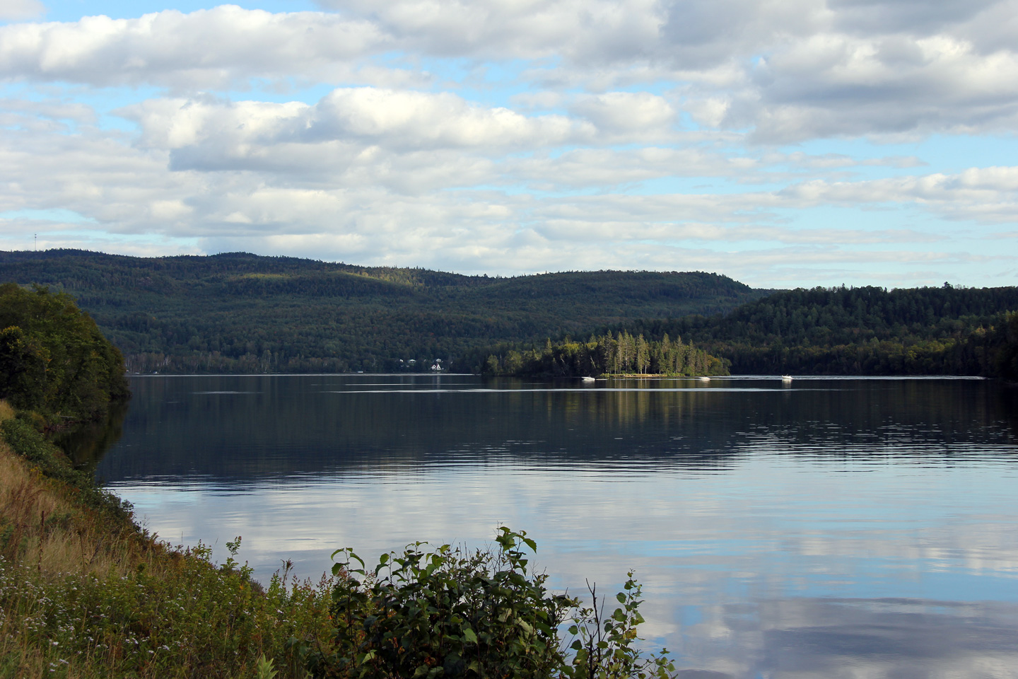
MRC de Mékinac |
Southerly view of the Saint-Maurice River.
Vue le long de la rivière Saint-Maurice en direction sud. |
 |
||
|
Date: 9/12/2009 |
High-res: (1440x960) (2400x1600) |
|||
|
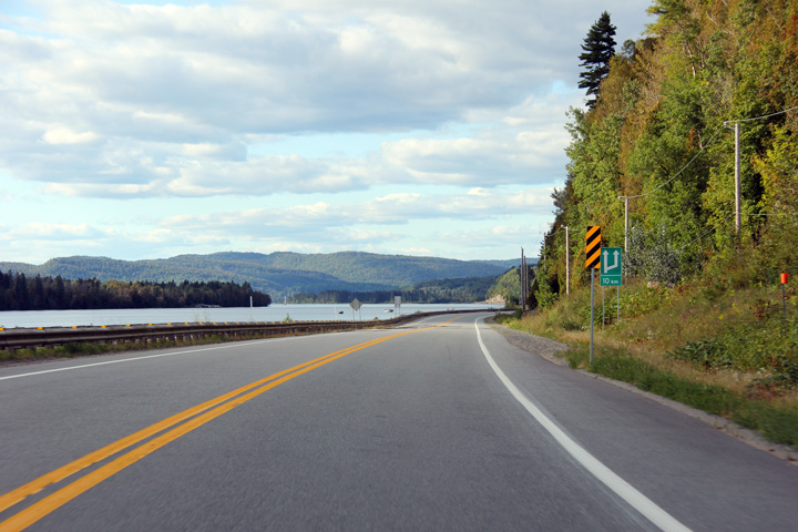
MRC de Mékinac |
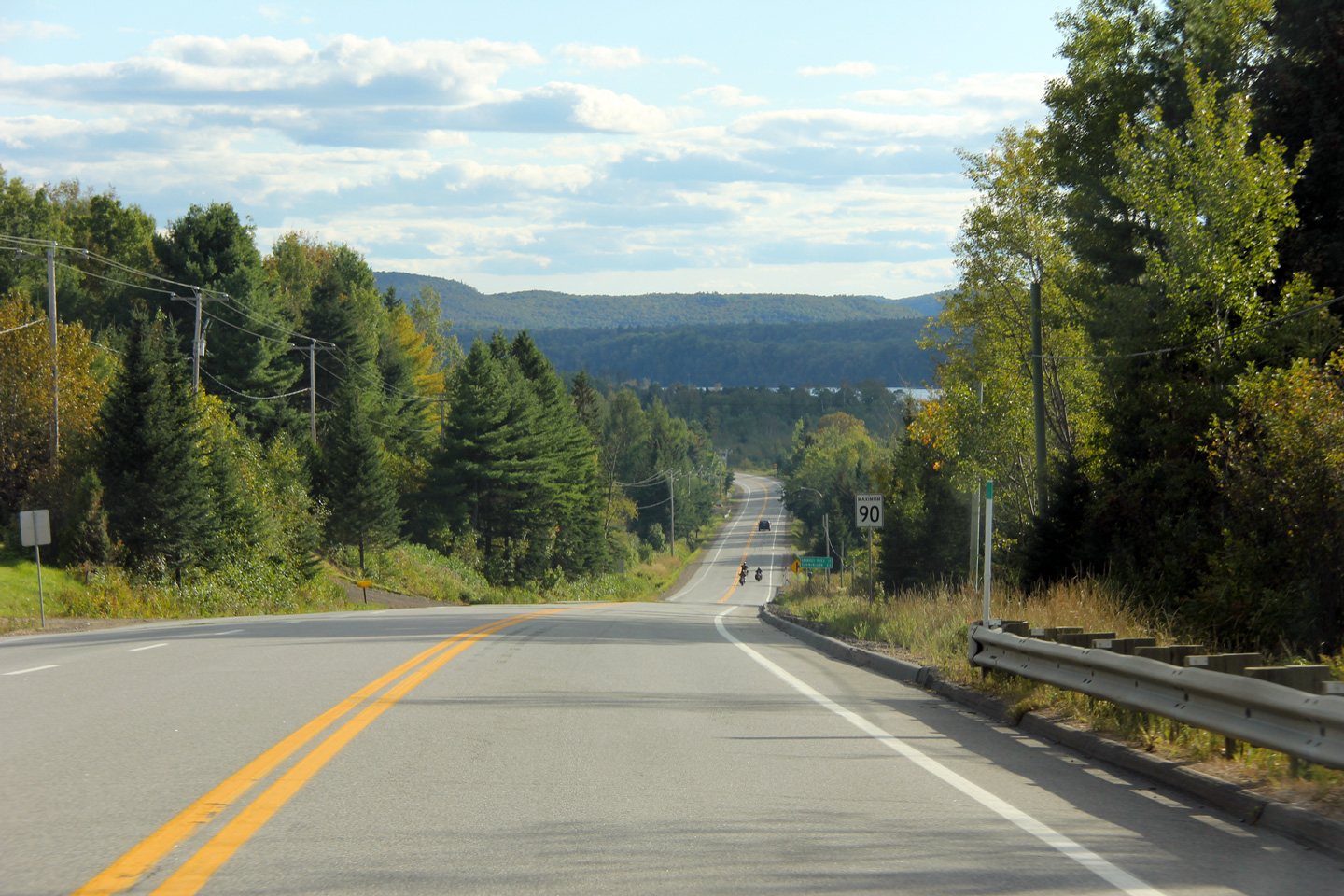
Northerly view along Route 155 from the Chemin du Domaine-Batchelder intersection. This was as far north as I drove along Highway 155 in September 2011. Beyond this, the highway continues to follow the Maurice River bound for La Tuque.
Vue vers le nord de la route 155 depuis le carrefour du chemin du Domaine-Batchelder. Ce fut aussi loin au nord que je roulais sur la route 155 en Septembre 2011. Au-delà de cela, la route continue à suivre la rivière Maurice à destination de La Tuque. |
 |
||
|
Date: 9/12/2009 |
High-res: (1440x960) (2400x1600) |
|||
<-
R-153 PQ Highways
R-157 ->
AsphaltPlanet.ca
© 2006-2012 Scott Steeves. AsphaltPlanet@asphaltplanet.ca
Page Created: March 21st, 2012.
Last Updated: March 21st, 2012.


