AsphaltPlanet.ca > Quebec > Autoroute 640
|
Western Terminus: The R-344 roundabout at Saint-Joseph-du-Lac. Eastern Terminus: At-grade intersection with R-344 in Charlemagne. Routing: Autoroute 640 follows the the north shore of the Rivière des Mille-Iles from Pointe-Calumet to Charlemagne. The freeway was intended to serve as a northern by-pass of Montreal. Links:
|
Pictures on this page are arranged in order from west to east. A-440 East photos are left-aligned in the last column, while A-440 west photos are right-aligned. Center-line pictures are centered within the last column.
|
Location |
Description |
Photo |
||
|
East- |
West- |
|||
|
M.R.C. de Deux-Montagnes Saint-Joseph-du-Lac |
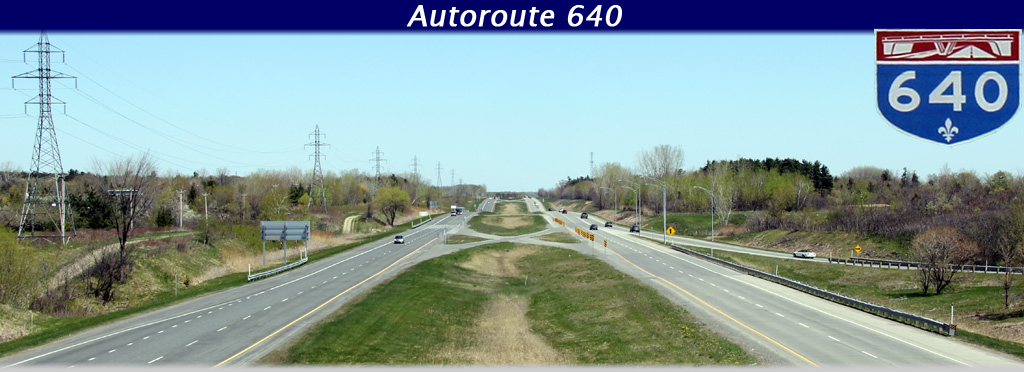
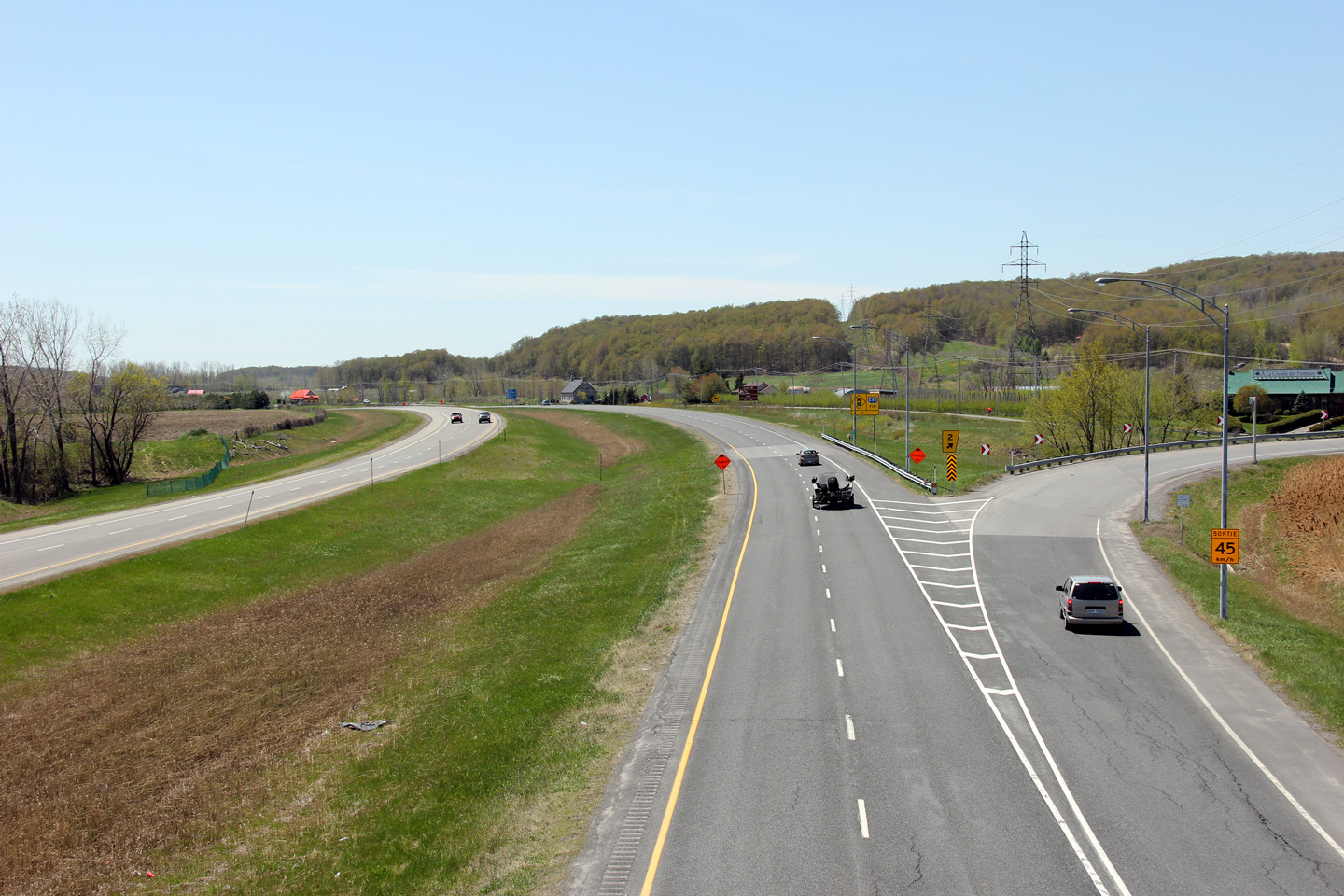
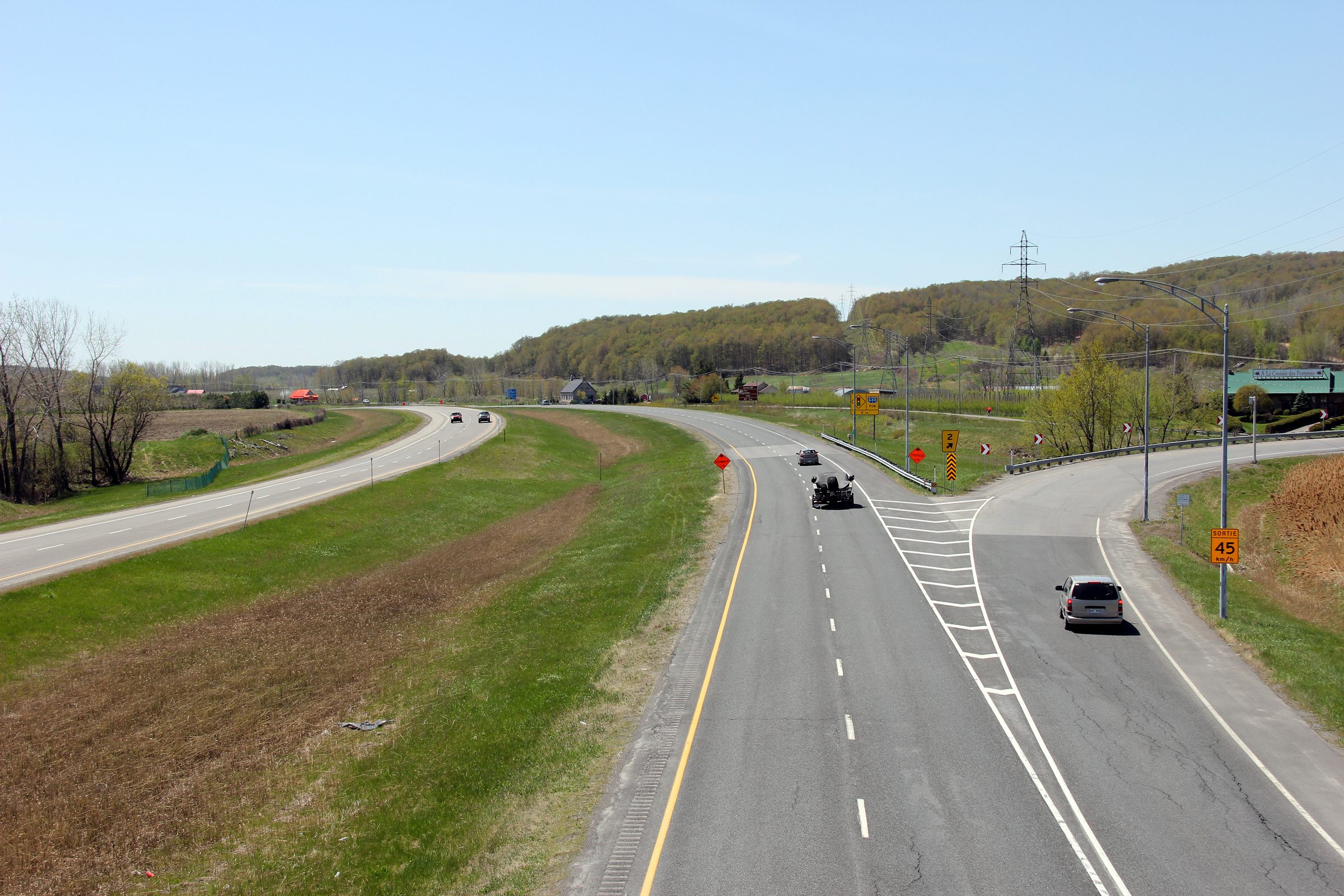
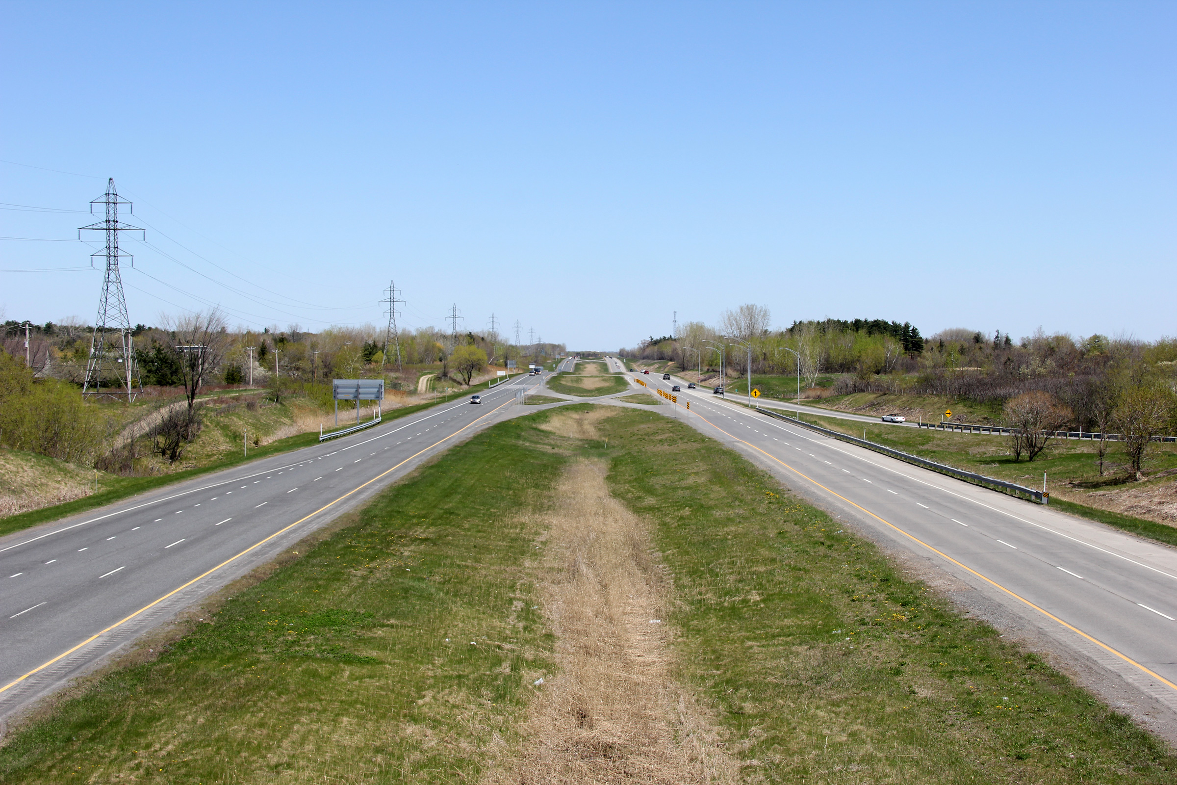
Westerly view from the chemin Principal overpass. Autoroute 640 ends just west of this interchange at Highway 344.
Vue en direction ouest à partir du pont d'étagement du chemin Principal. L'aut. 640 se termine juste à l'ouest de ce pont au carrefour giratoire avec la route 344. |
 |
||
|
Date: 5/6/2012 |
High-res: (1440x960) (2400x1600) | |||
|
M.R.C. de Deux-Montagnes Saint-Joseph-du-Lac |
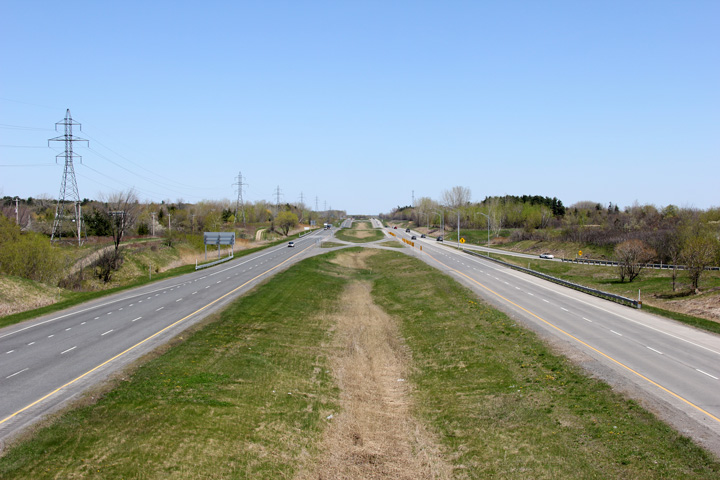
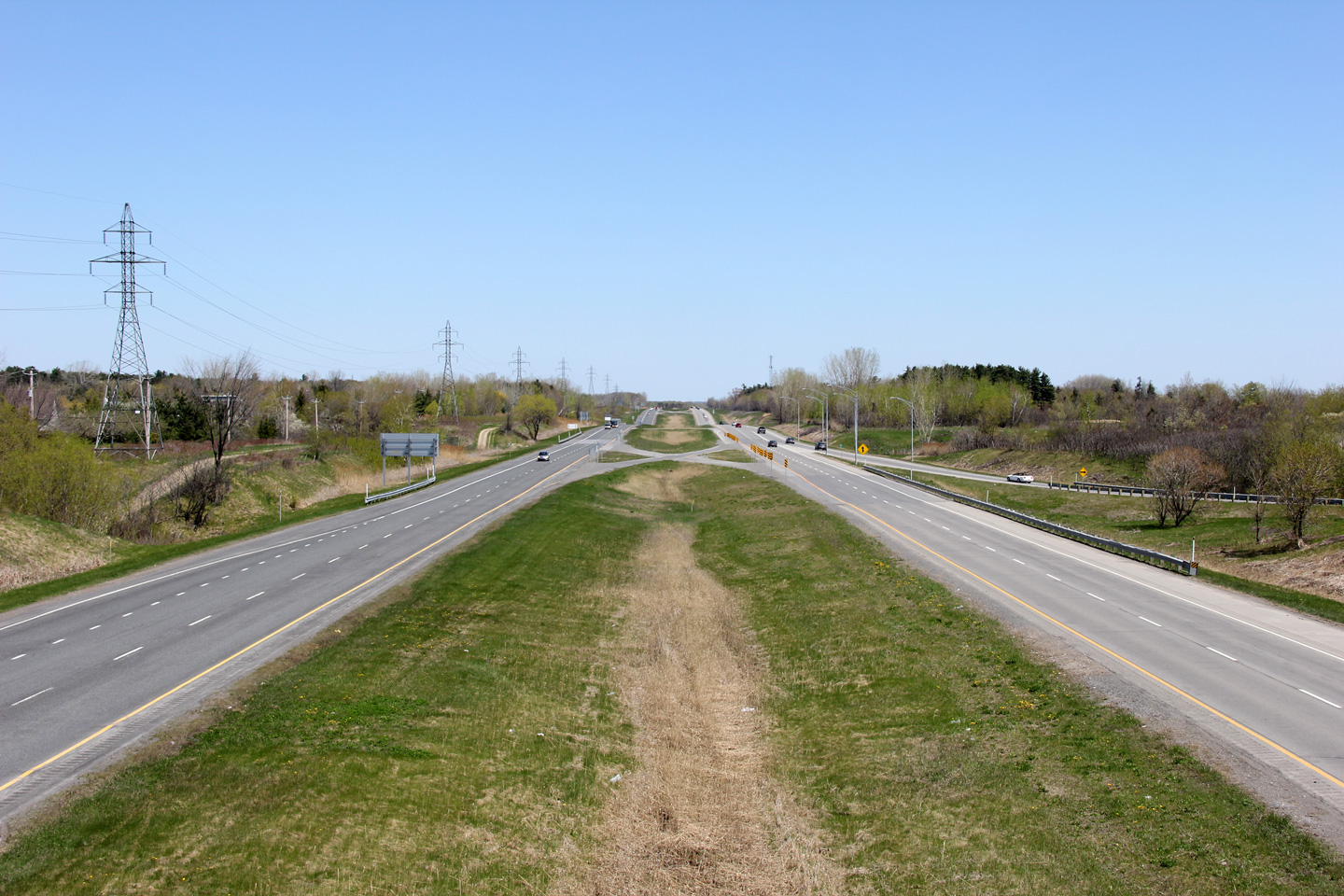
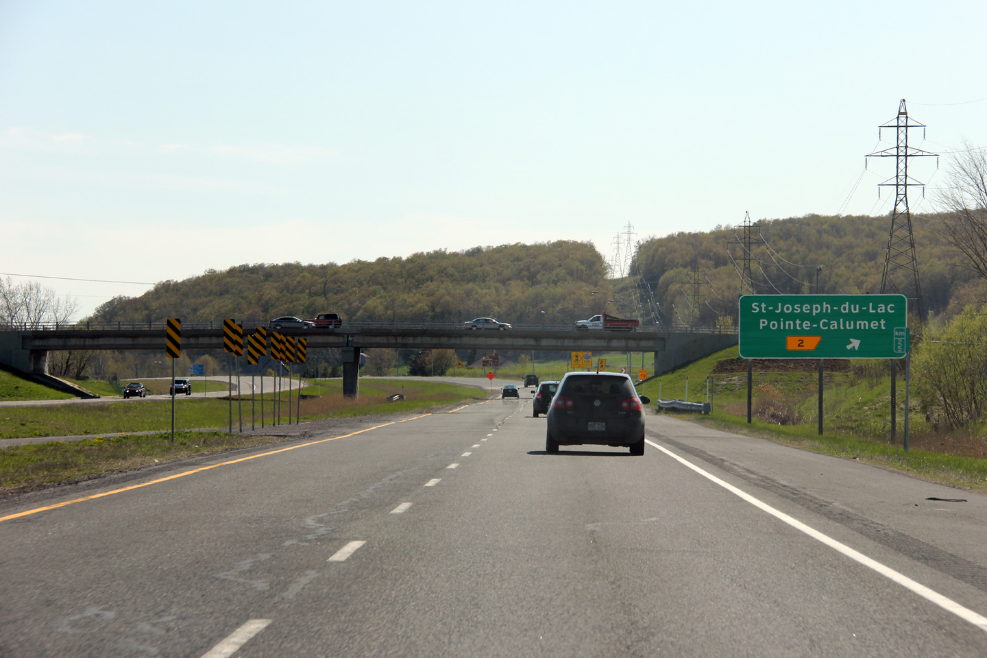
Easterly view from the chemin Principal overpass.
Vue vers l'est à partir du pont d'étagement du chemin Principal. |
 |
||
|
Date: 5/6/2012 |
High-res: (1440x960) (2400x1600) | |||
|
M.R.C. de Deux-Montagnes Saint-Joseph-du-Lac |
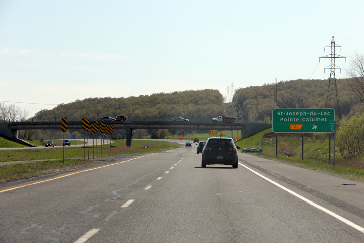
Westbound signage in advance of the ramp to chemin Principal.
Signalisation en direction ouest pour la bretelle vers le chemin Principal. |
 |
||
|
Date: 5/5/2012 |
High-res: (1440x960) (2400x1600) | |||
|
M.R.C. de Deux-Montagnes Saint-Eustache |
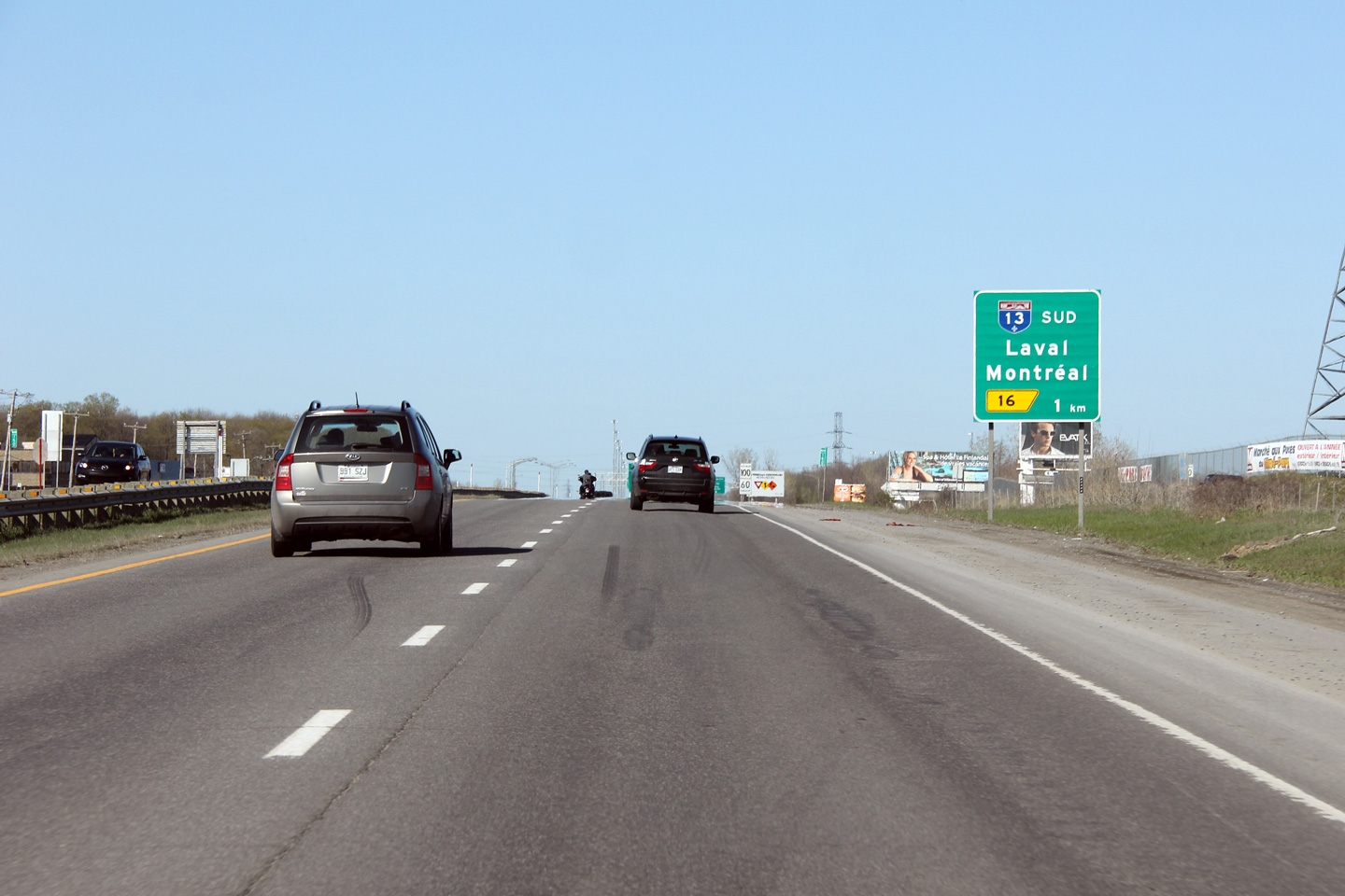
Eastbound advanced signage for Autoroute 13.
Signalisation avancée en direction est pour l'aut. 13. |
 |
||
|
Date: 5/5/2012 |
High-res: (1440x960) | |||
|
M.R.C. de Deux-Montagnes Saint-Eustache |
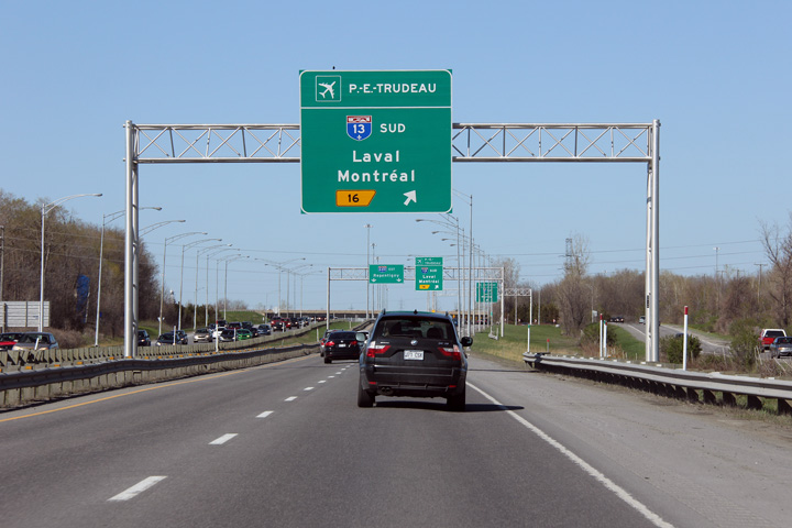
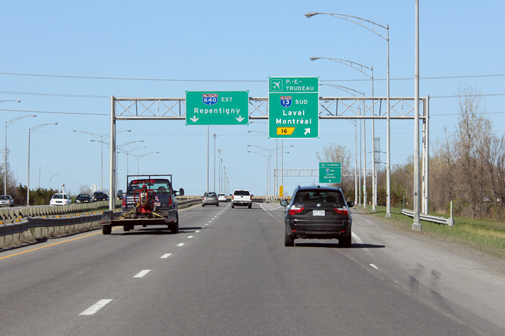
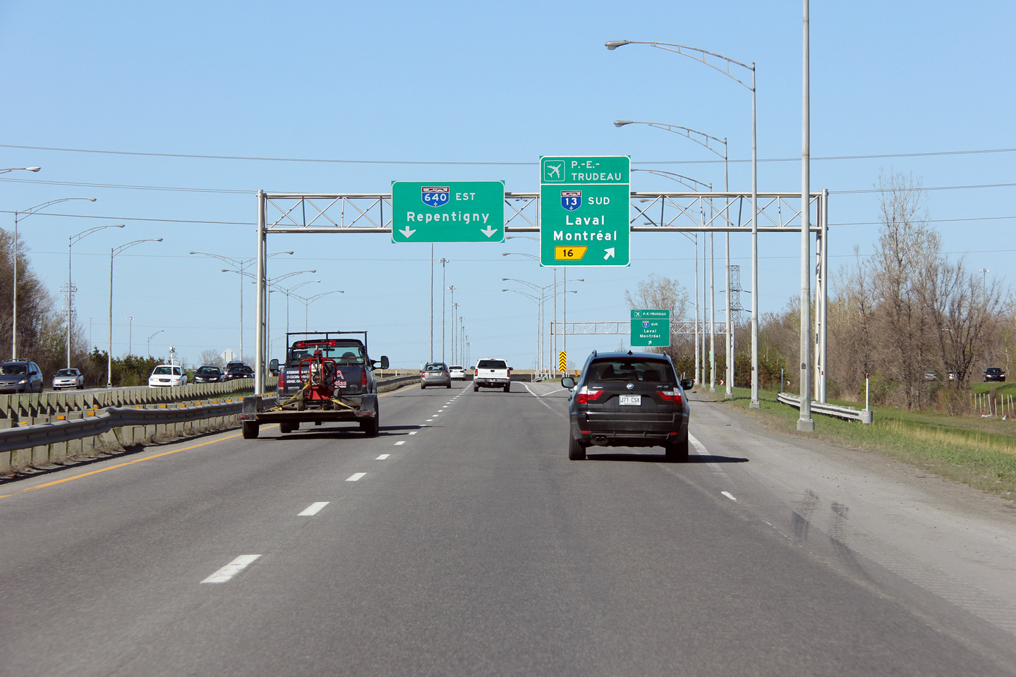
Overhead advanced signage for the Autoroute 13 interchange.
Signalisation aérienne avancée pour l'échangeur avec l'autoroute 13. |
 |
||
|
Date: 5/5/2012 |
High-res: (1440x960) (2400x1600) | |||
|
M.R.C. de Deux-Montagnes Saint-Eustache |
Signage at the ramp to Autoroute 13. During the height of the Autoroute era, Autoroute 13 was proposed to be extended northerly to A-50 at Mirabel Airport. As such, this interchange was constructed as a cloverleaf with several ramps constructed but never opened to traffic. Steve Alpert has some photos of these ghost ramps on his website.
Signalisation à la bretelle vers l'autoroute 13. Lors des grandes années de l'ère autoroutière, l'autoroute 13 avait été prévu pour se rendre jusqu'à l'aéroport de Mirabel. D'ailleurs, un échangeur en trèfle à la jonction de l'autoroute 640 à été construit. Plusieurs des bretelles construites n'ont jamais été ouvert à la circulation. Steve Alpert a quelques photos de ces bretelles fantômes sur son site web |
 |
||
|
Date: 5/5/2012 |
High-res: (1440x960) (2400x1600) | |||
|
A-13 carries traffic between Autoroute 20 in Dorval to Autoroute 640 in Boisbriand. Click here for A-13 images. |
||||
<- A-610
PQ Highways
A-720 ->
Asphaltplanet.ca
© 2010-2016 Scott Steeves.
AsphaltPlanet@asphaltplanet.ca Special thanks to Mathieu Thériault for assistance
with French translations
Page Created: July 25, 2012.
Last Updated: July 25, 2012.