|
|
|
|
|
|
South-
Bound
|
|
MRC de Roussillon
Candiac
|
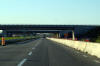
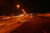
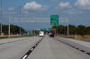
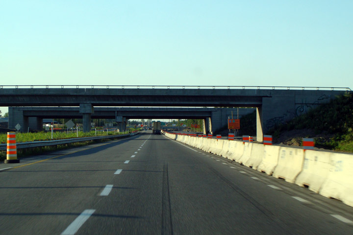
This view looks
northerly along A-15 as it passes under the future A-30 Sainte-Catharine
Bypass. Before 2010, Autoroute 30 existed only in short segments
along the South Shore of Montreal. At the time this photo was
taken (2009), an aggressive construction schedule is seeing the new
highway ring around the south of Montreal to function as a new Southern
By-pass. |
 |
|
Photographed by: AsphaltPlanet.ca |
Date: 7/16/2009 |
High-res |
|
MRC de Roussillon
Candiac
|
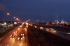
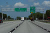
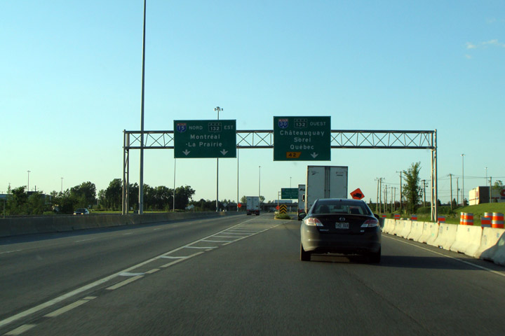
View looking northerly
along A-15 at the current A-30 interchange. This short segment of
A-30 will revert to simply be a short freeway segment of R-132 when the
La Prarie By-pass is completed in 2012. |
 |
|
Photographed by: AsphaltPlanet.ca |
Date: 7/16/2009 |
High-res |
|
Autoroute 15 meets Autoroute between Sainte-Catherine
and La Prairie.
Click here for A-30 images.
|
|
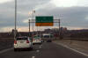
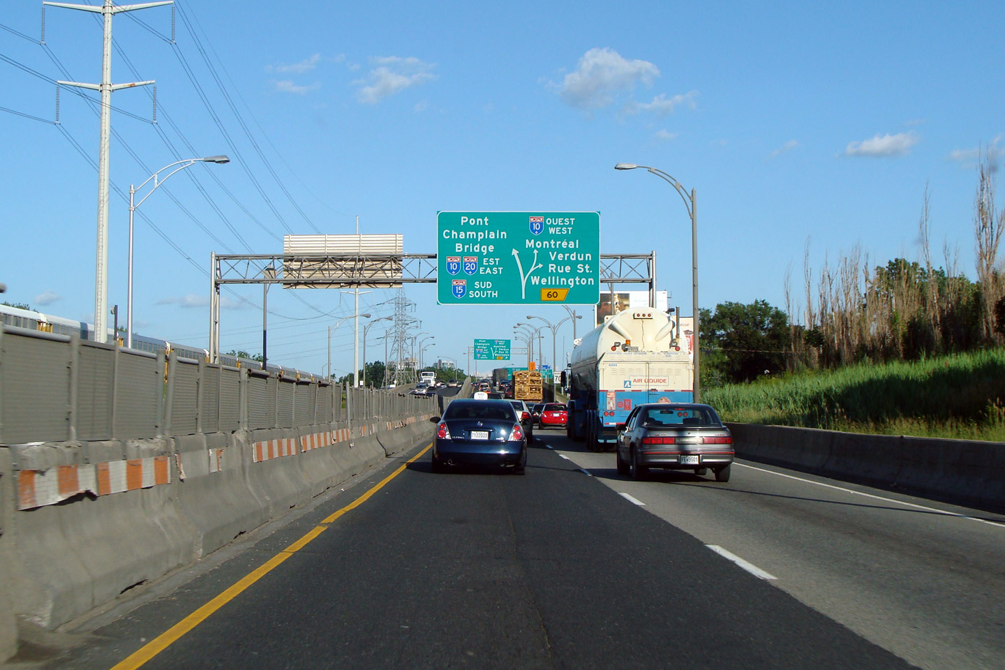
Agglomeration de Montreal
Le Sud-Ouest
|
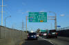
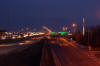
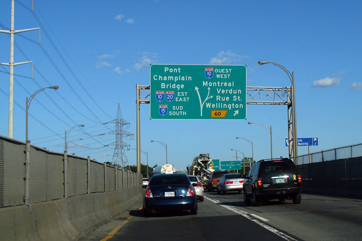
Southbound
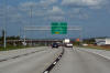
view approaching the northern A-10 interchange just before Pont Champlain.
Notice that the diagram sign is used in lieu of pull-through signage. |
|
|
Photographed by: AsphaltPlanet.ca |
Date: 7/16/2009 |
High-res |
|
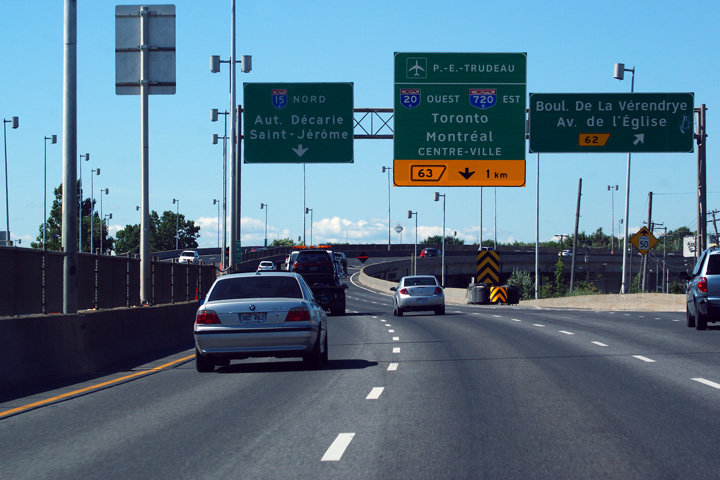
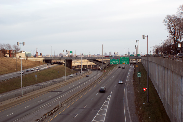
Agglomeration de Montreal
Le Sud-Ouest
|
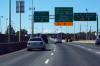
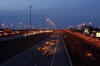
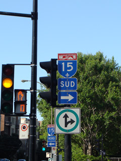
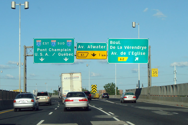
This
sign is for all intents and purposes exactly the same as the sign located
just above in the table. This is the first of two southbound/eastbound
signs that drivers encounter before the Champlain Bridge.. |

|
|
Photographed by: AsphaltPlanet.ca |
Date: 7/16/2009 |
High-res |
|
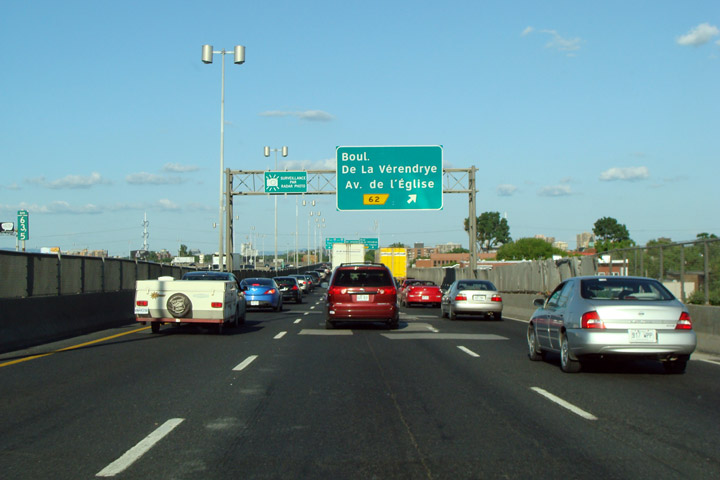
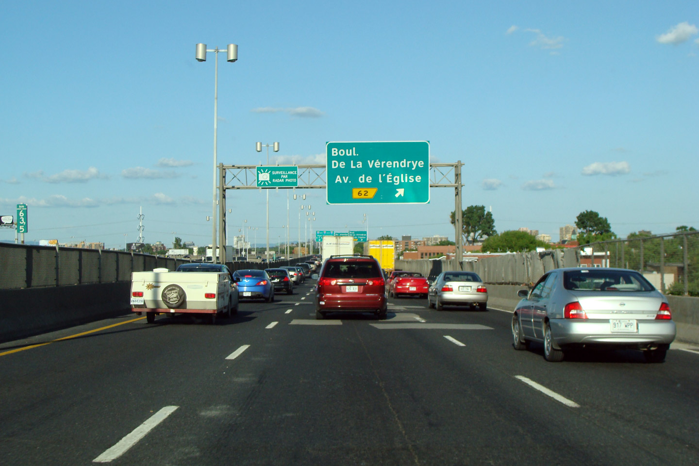
Agglomeration de Montreal
Le Sud-Ouest
|
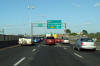
View looking south
as Exit 62 departs from A-15. Notice the rather deplorable state of
the Autoroute here. This stretch of A-15/20 is to be completely
reconstructed as part of the proposed Turcot Interchange upgrades. |

|
|
Photographed by: AsphaltPlanet.ca |
Date: 7/16/2009 |
High-res |
|
Agglomeration de Montreal
Le Sud-Ouest
|
 Northbound advanced
signage approaching the Turcot Interchange. Note that the signage
uses clearview font -- MTQ has been aggressively replacing its old
highway gothic guide signage stock with new clearview signs. Northbound advanced
signage approaching the Turcot Interchange. Note that the signage
uses clearview font -- MTQ has been aggressively replacing its old
highway gothic guide signage stock with new clearview signs. |
 |
|
Photographed by: AsphaltPlanet.ca |
Date: 12/7/2008 |
High-res |
|
Agglomeration de Montreal
Le Sud-Ouest
|
Advanced
clearview signage for Exit 62. Clearview signage appears much larger
than the highway gothic font that has conventionally been used on highway
guide signage. |
|
|
Photographed by: AsphaltPlanet.ca |
Date: 7/16/2009 |
High-res |
|
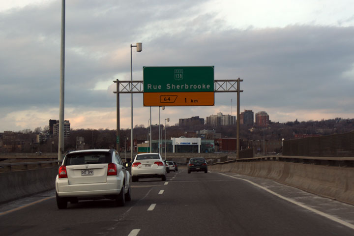
Agglomeration de Montreal
Le Sud-Ouest
|
Advanced
guide signage for Route-138/Sherbrooke Street. Through Downtown
Montreal, Sherbrooke Street is lined with trendy shops in similar
fashion to Toronto's Bloor Street. |
 |
|
Photographed by: AsphaltPlanet.ca |
Date: 12/7/2008 |
High-res |
|
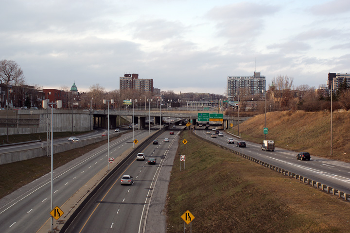
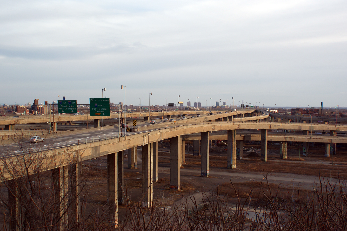
The Turcot Interchange is Montreal's most notable
freeway interchange -- here A-15 meets both A-20 and A-720.
Click
here for A-20 Images and
here for A-720 images.
|
|
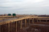
Agglomeration de Montreal
Cote St-Luc
|
The
Turcot Interchange towers over the former CN Railway lands from which
the interchange is named. |
 |
|
Photographed by: AsphaltPlanet.ca |
Date: 12/7/2008 |
High-res |
|
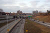
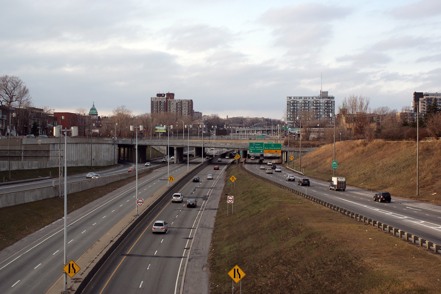
Agglomeration de Montreal
Cote St-Luc
|
View
looking north from the Rue St-Jacques Overpass. The grand scale of
the Turcot interchange can be seen from the northbound vantage point
just as from the south.. |
 |
|
Photographed by: AsphaltPlanet.ca |
Date: 12/7/2008 |
High-res:
(1440x960)
(2400x1600) |
|
Agglomeration de Montreal
Cote St-Luc
|
This
southbound view from Chemin Upper Lachine shows a rather unique overpass
support design for the Rue St-Jacques overpass. |
 |
|
Photographed by: AsphaltPlanet.ca |
Date: 12/7/2008 |
High-res:
(1440x960)
(2400x1600) |
|
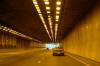
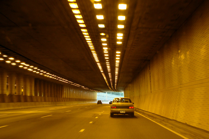
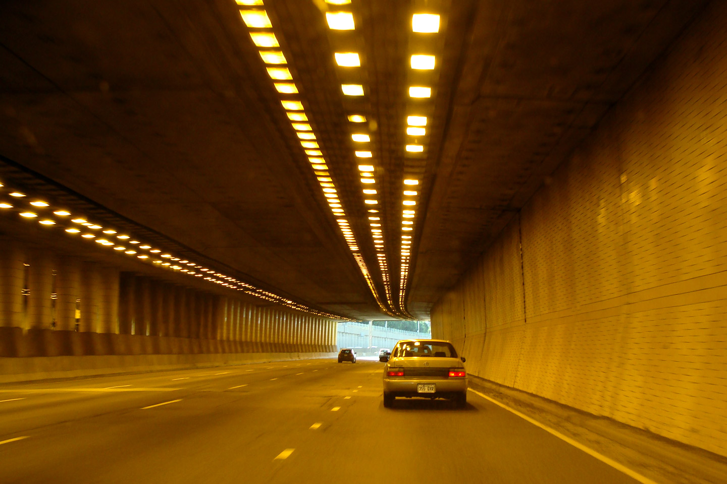
Agglomeration de Montreal
|
Driving Northerly
through the short tunnel segment along A-15 where it passes underneath
of Notre-Dame-de-Grace-School. Taking photos while passing through
a tunnel is surprisingly difficult -- my automatic camera seems to have
a lot of trouble finding something to focus on. |
 |
|
Photographed by: AsphaltPlanet.ca |
Date: 7/16/2009 |
High-res |
|
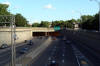
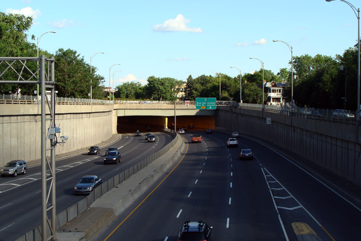
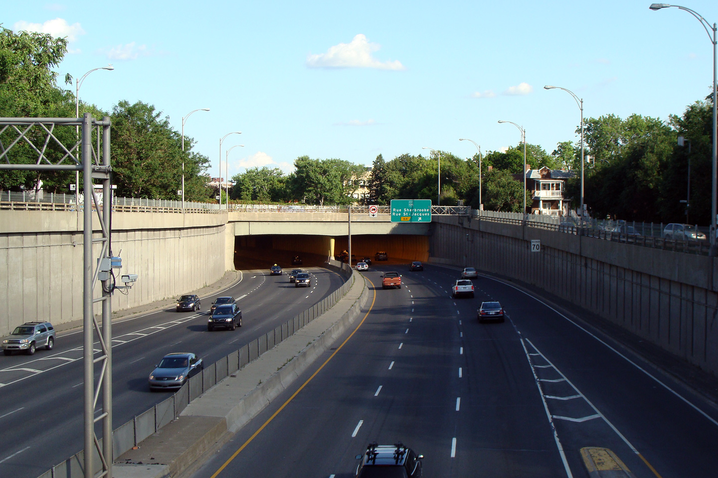
Agglomeration de Montreal
|
View looking southerly from the
Monkland Avenue overpass in Montreal. Notice the tunnel that
carries Highway 15 underneath of Notre-Dame-de-Grace School and Avenue. |
|
|
Photographed by: AsphaltPlanet.ca |
Date: 7/16/2009 |
High-res |
|
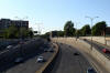
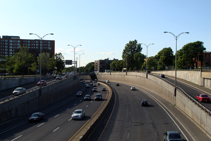
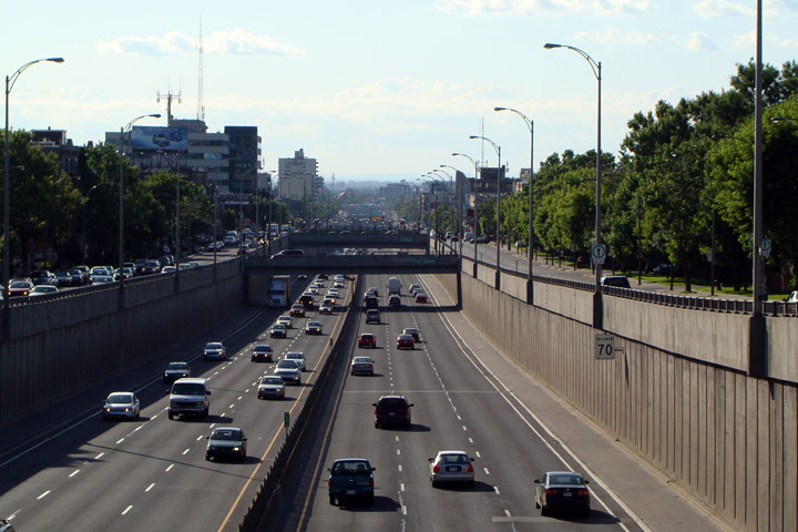
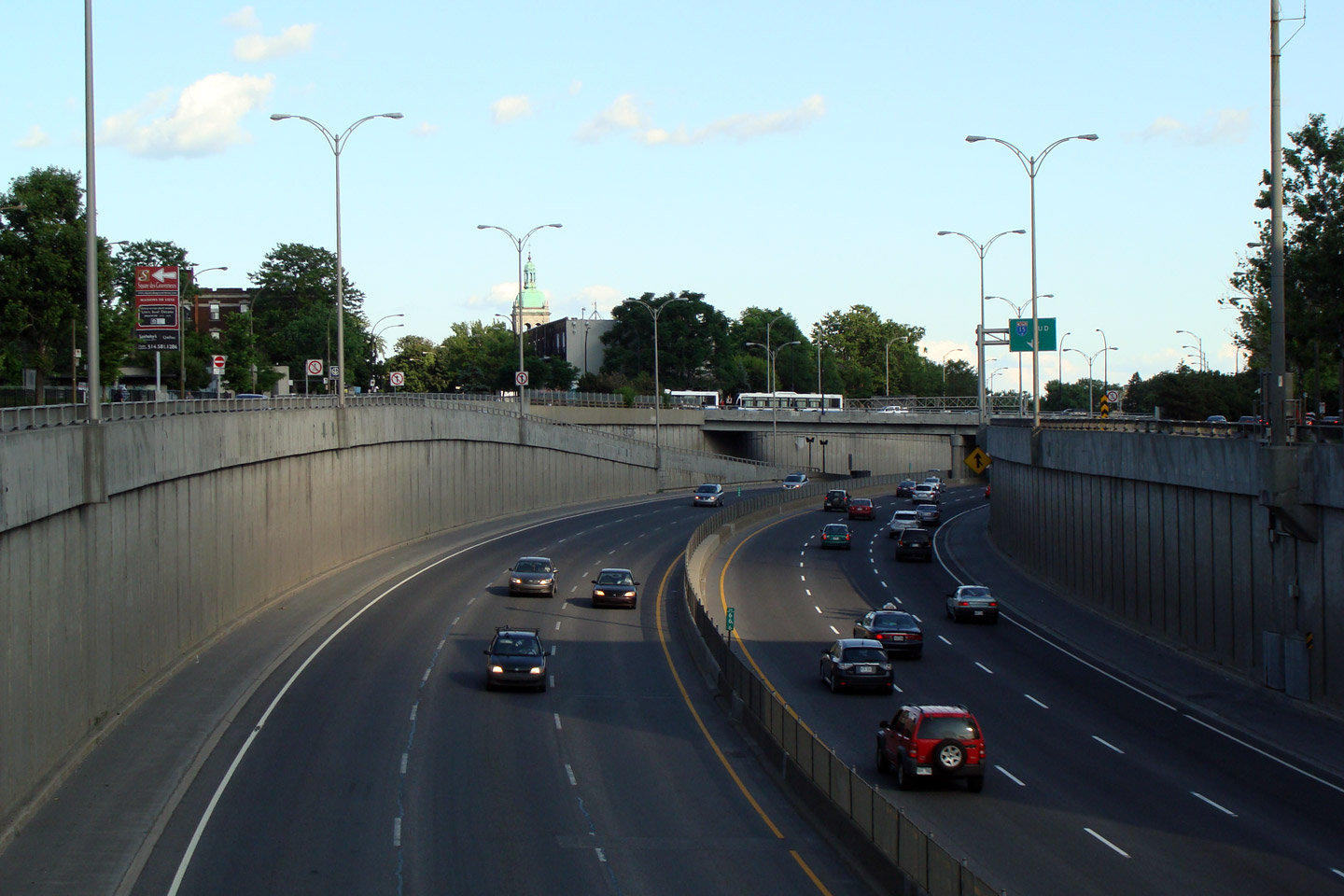
Agglomeration de Montreal
|
View looking northerly from Monkland Avenue. The first set of exit
ramps from the Decarie Expressway to Decarie Boulevard are in view.
The Decarie Expressway is built in a trench, with one-way surface roads
flanking it to either side. |
 |
|
Photographed by: AsphaltPlanet.ca |
Date: 7/16/2009 |
High-res |
|
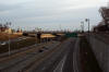
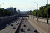
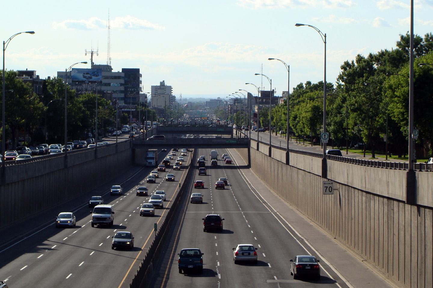
Agglomeration de Montreal
|
This
southbound view from Chemin de la Cote St-Luc. Autoroute Decarie
is almost perfectly straight, aside from the quick jog shown. |
 |
|
Photographed by: AsphaltPlanet.ca |
Date: 7/16/2009 |
High-res |
|
Agglomeration de Montreal
|
View looking northerly into the sun from Chemin de la Cote St-Luc.
I don't think there is another freeway in Canada that has been built in
a trench the same way the Decarie has been. Steve Anderson offers
a pretty detailed history of the Decarie accessible
here. |
 |
|
Photographed by: AsphaltPlanet.ca |
Date: 7/16/2009 |
High-res |
|
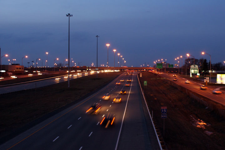
M.R.C. de Laval
|
Looking
north from Boulevard Cartier towards Laval's shopping district at night.
Traffic is amplified by the happy Montrealers hustling and bustling to
and from their Christmas errands. |
|
|
Photographed by: AsphaltPlanet.ca |
Date: 12/7/2008 |
High-res |
|
M.R.C. de Laval
|
Two
southerly views from the Boulevard Le Carrefour Overpass in Laval.
A-15's extremely wide cross-section through Laval reminds a lot of
Ontario's Highway 400 through Vaughan. |
 |
|
Photographed by: AsphaltPlanet.ca |
Date: 12/7/2008 |
High-res
High-res |
|
M.R.C. de Laval
|
Northerly
view from Boulevard Le Carrefour in Laval towards Autoroute 440. |
 |
|
Photographed by: AsphaltPlanet.ca |
Date: 12/7/2008 |
High-res |
|
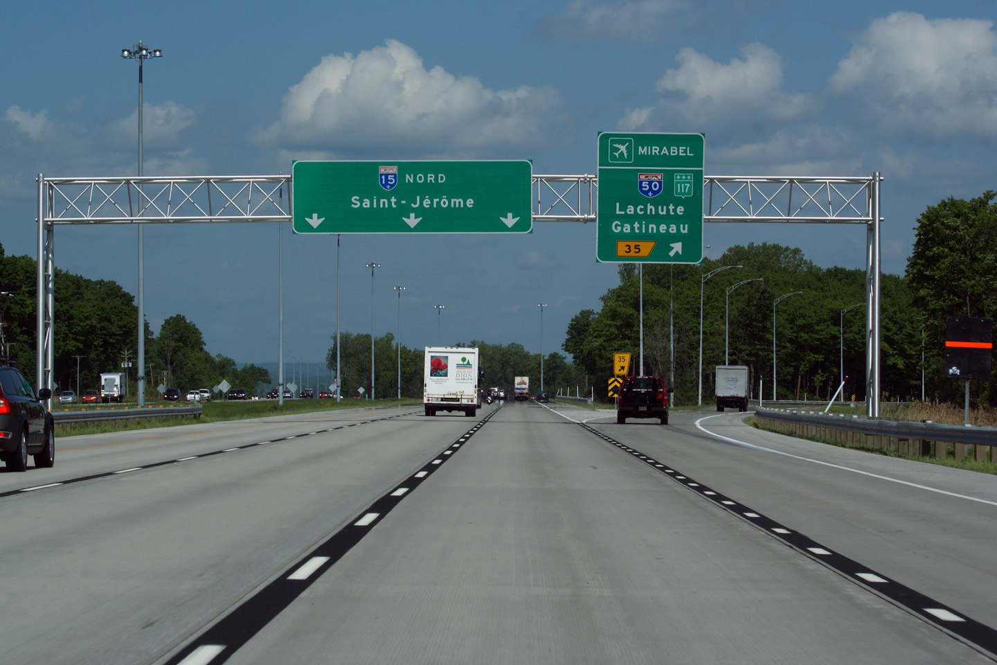
M.R.C. de Mirabel
|
Advanced
overhead signage for Autoroute 50. Autoroute 50 is a long freeway
that extends west from A-15 paralleling the Ottawa River into Gatineau. |
 |
|
Photographed by: AsphaltPlanet.ca |
Date: 12/7/2008 |
High-res |
|
M.R.C. de Mirabel
|
Overhead
guide signage at the split for A-50. While A-50 only leads west
from A-15, a short ramp extension leads easterly linking both A-15, and
A-50 with Route 117, located less than a kilometre to the east.
R-117 is the old principal highway north from Montreal. |
 |
|
Photographed by: AsphaltPlanet.ca |
Date: 12/7/2008 |
High-res |
|
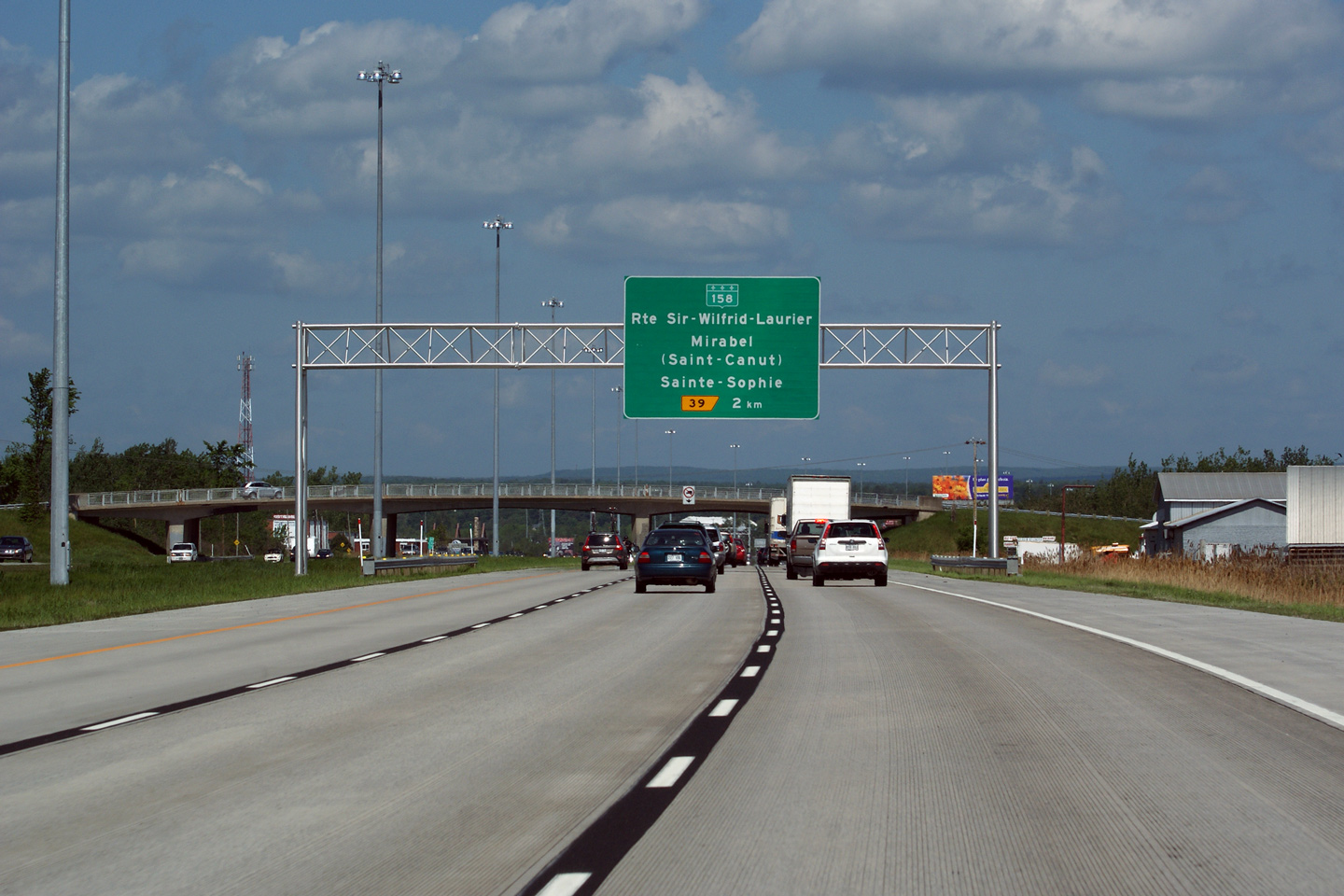
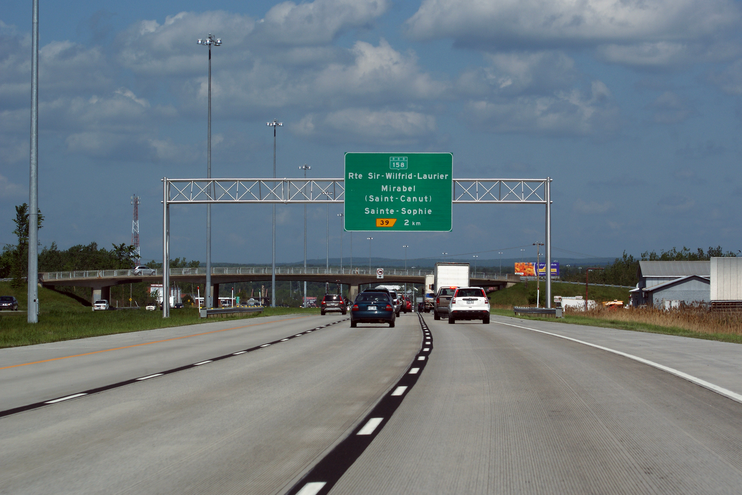
M.R.C. de Mirabel
|
Overhead advanced
signage for the R-158 interchange, situated just before Rang Ste-Marie
overpass. |
 |
|
Photographed by: AsphaltPlanet.ca |
Date: 12/7/2008 |
High-res:
(1440x960)
(2400x1600) |


