KING`S HIGHWAY NO. 401
Eastern Ontario
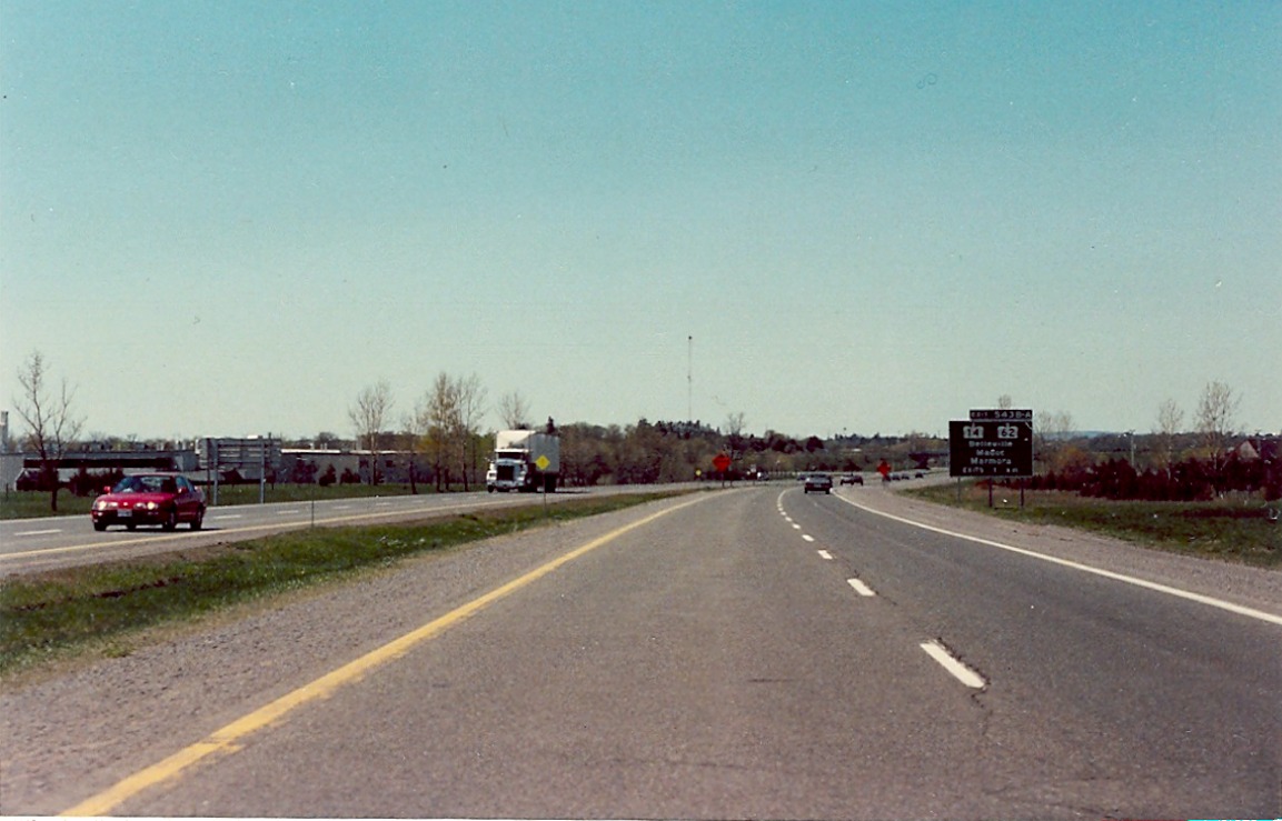
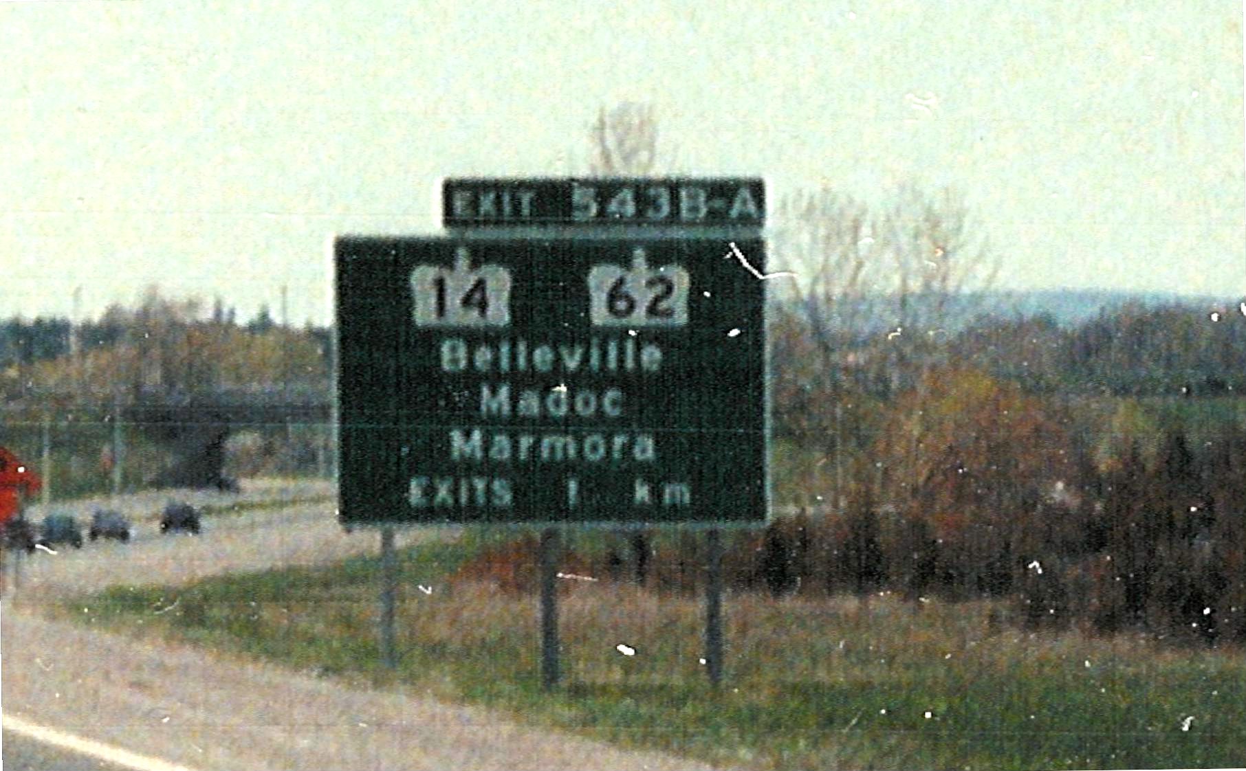
| 1km advance signage for Highways 14 and 62 located on westbound Highway 401 in Belleville. Despite Highway 14 having its southern terminus with Highway 62 in Foxboro, about 8 kilometres north of the 401, it is still indicated as a primary route on this signage. April of 1991. | |
| Looking west along the westbound lanes of Highway 401 towards the Highway 37 overpass in Belleville. April of 1991. | 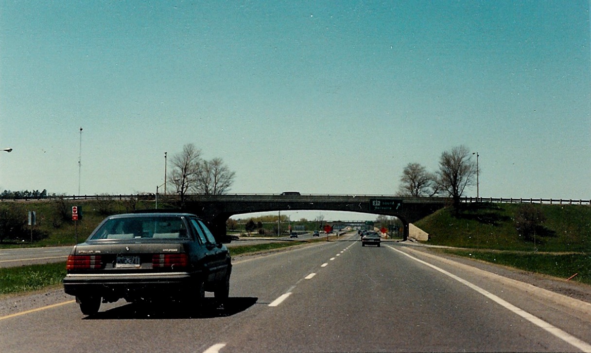 |
| Looking west along westbound Highway 401, 1 kilometre east of the Palace Road interchange in Napanee. April of 1991. | 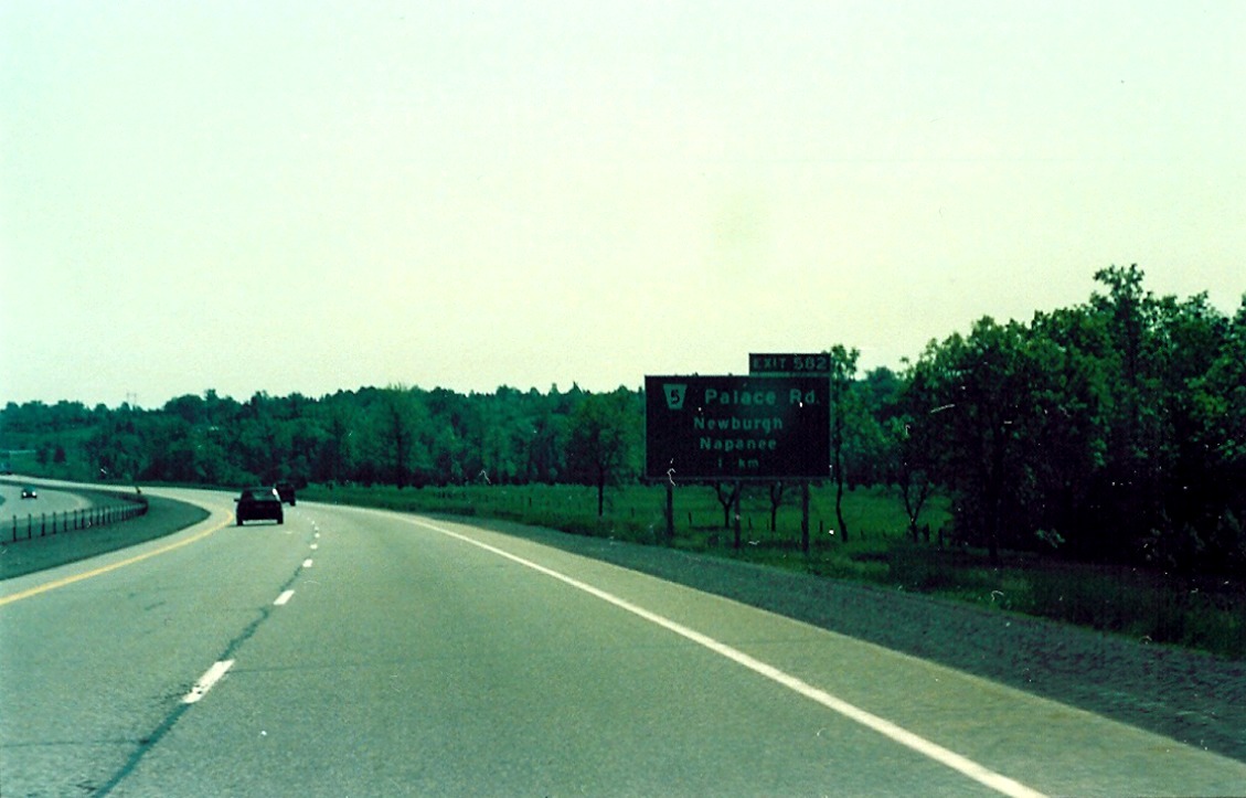 |
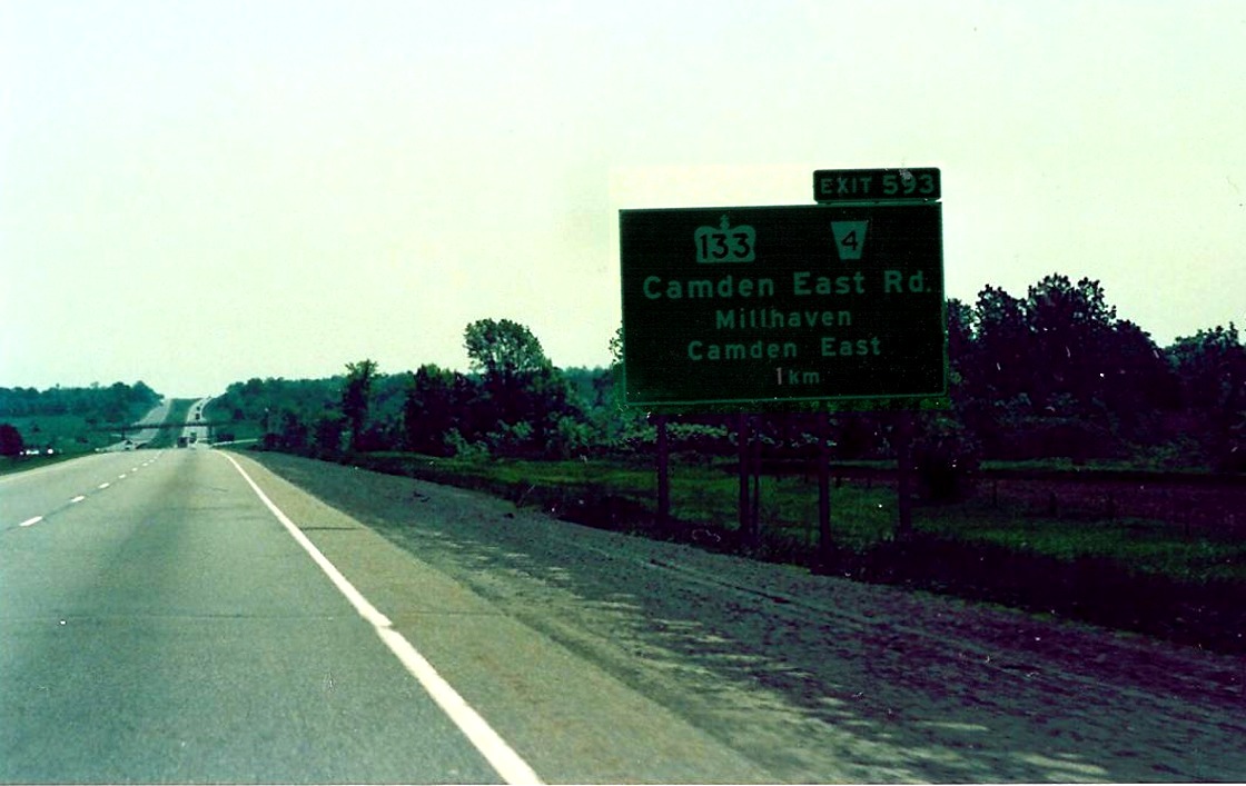 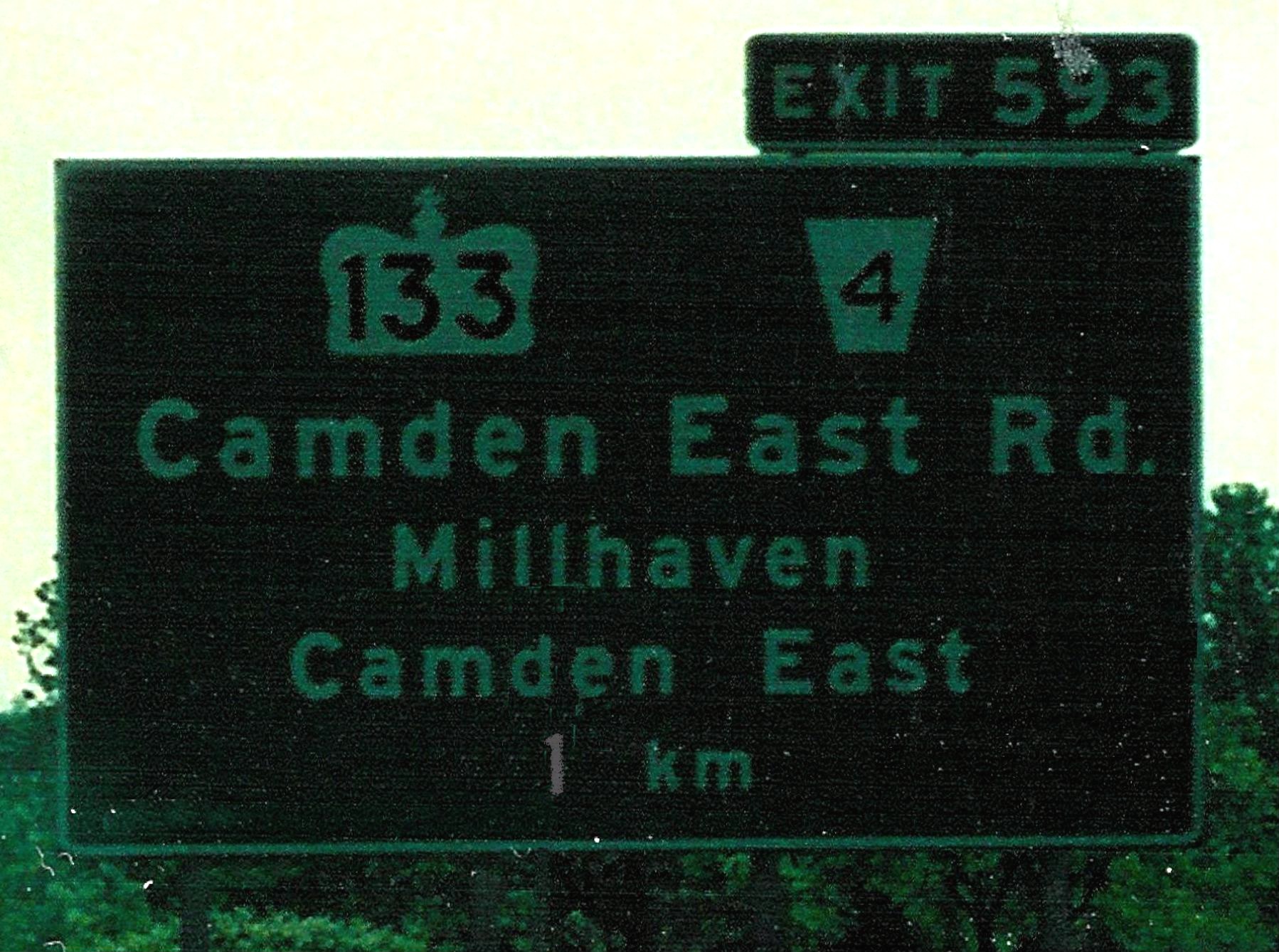 |
Ground mounted advance signage for Highway 133, located on eastbound Highway 401, between Napanee and Odessa. Highway 133 was a short highway that connected Highway 401 with Highway 33. April of 1991. |
| Looking west along westbound Highway 401 at the Division Street interchange in Kingston. June of 1992. | 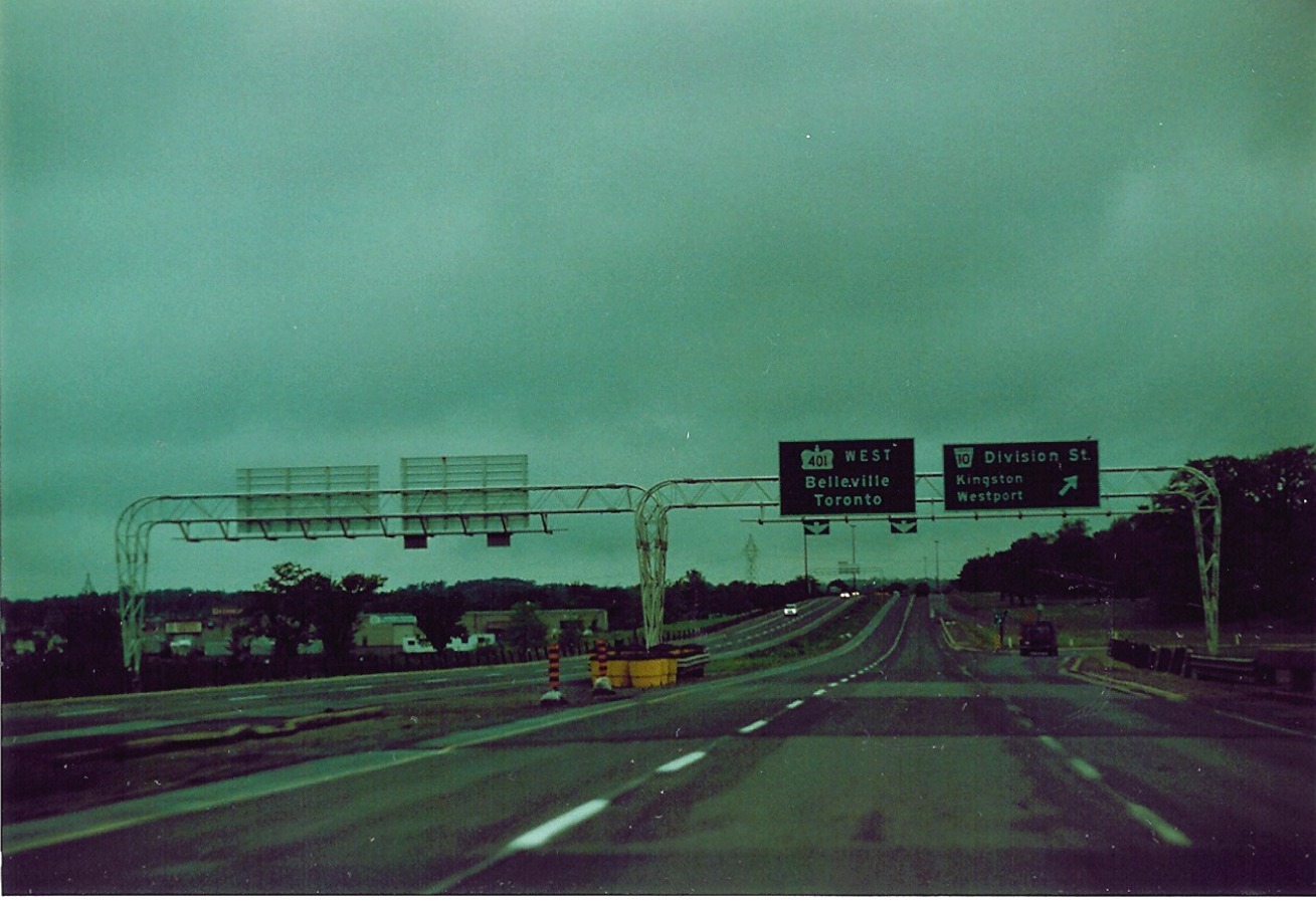 |
| 1km advance signage for Highway 15, located on westbound Highway 401, just northeast of the City of Kingston. April of 1991. | 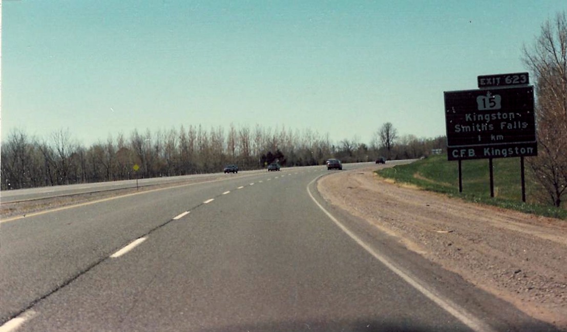 |
| Looking west along the westbound lanes of Highway 401 towards the John F. Scott Road overpass, about 1 kilometre east of the Highway 15 interchange. April of 1991. | 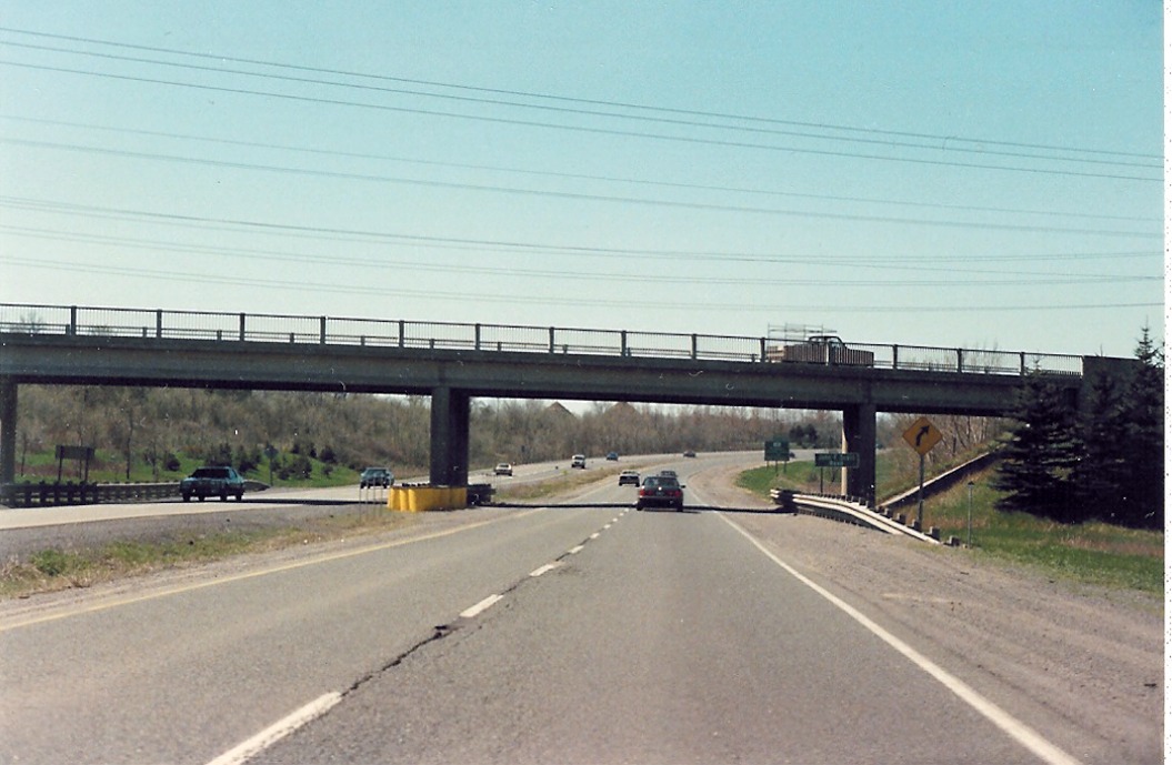 |
| Looking west along westbound Highway 401 from the Thousand Island Parkway interchange. Advance signage for Highway 32 is visibile in the background. June of 1992. | 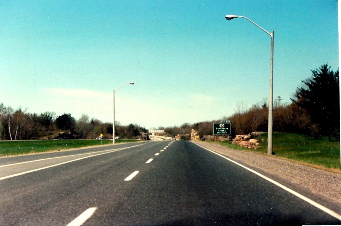 |
| Looking west along westbound Highway 401 as it approaches the Highway 2 overpass (exit 648) east of Gananoque. June of 1992. | 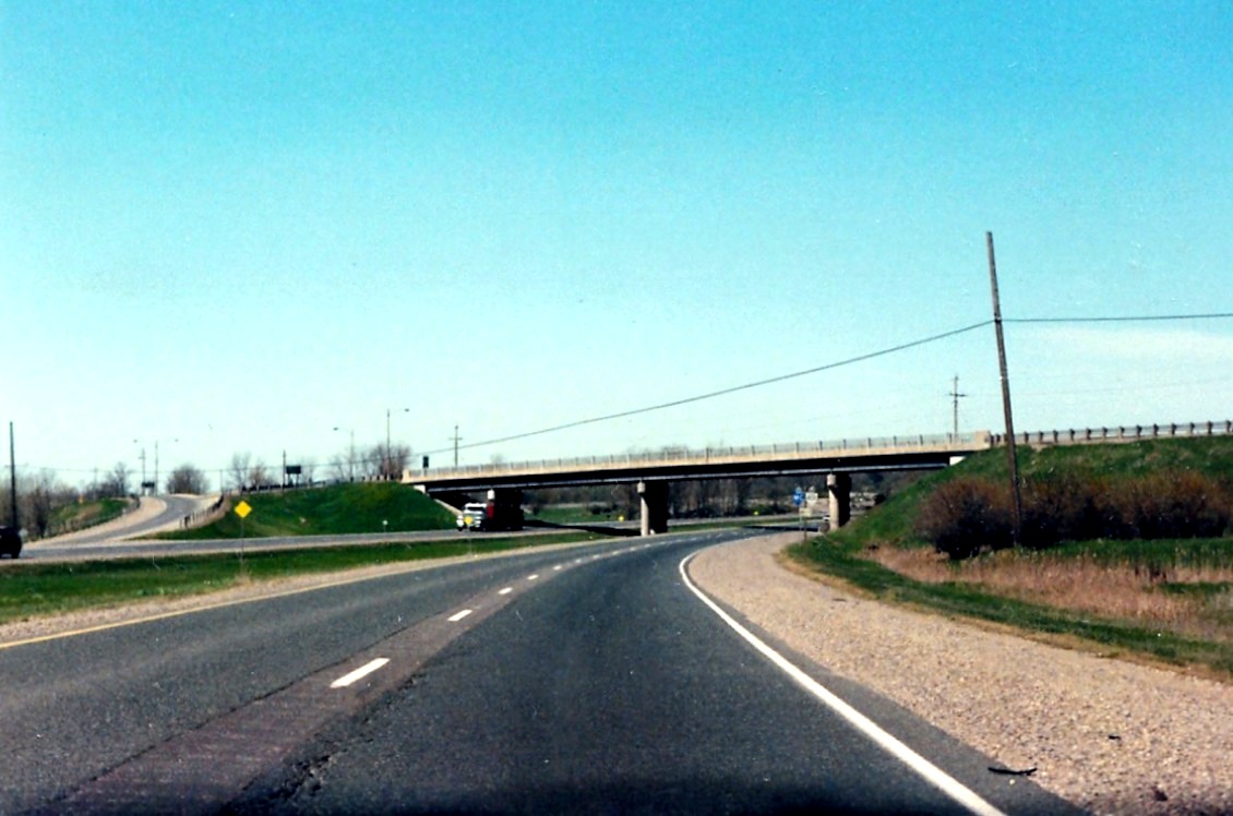 |
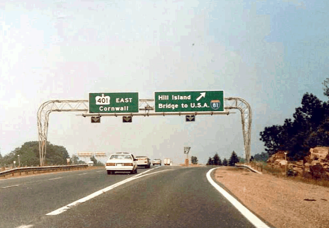 |
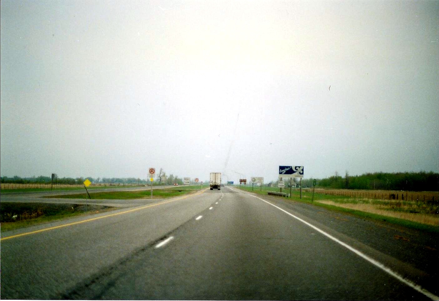
Eastbound Highway 401 as it approaches the Highway 137 interchage. Highway 137 in the early 1990s was an unsigned highway; southbound was indicated as "TO BRIDGE TO USA" and northbound was indicated as "TO HIGHWAY 401". April of 1991. |
| Looking west along westbound Highway 401 as it approaches the Highway 137 interchange. April of 1991. | 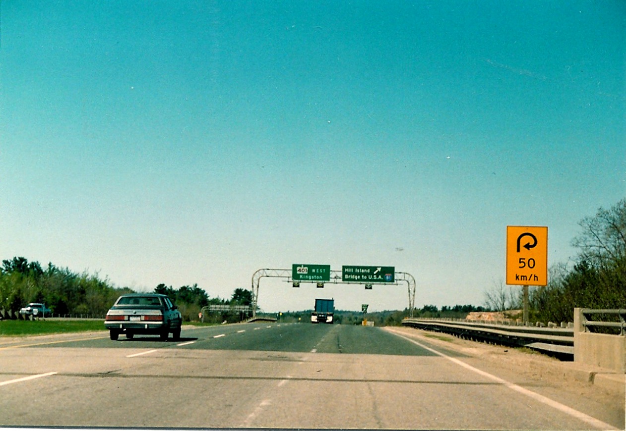 |
| 1 kilometre advance signage for Highway 137 located on westbound Highway 401 in southwest Leeds and Grenville County. June of 1992. | 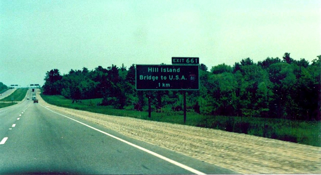 |
| Approaching the Thousand Islands Parkway interchange offramp from westbound Highway 401. The eastern terminus for Thousand Islands Parkway meets Highway 401 with directional on and offramps. April of 1991. | 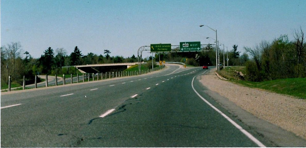 |
| Advance signage for Thousand Island Parkway, located on westbound Highway 401, just southwest of Brockville. I am not entirely sure why signage for Thousand Islands Parkway uses yellow font, but have heard from some people that Ontario uses that colour to denote scenic parkways. April of 1991. | 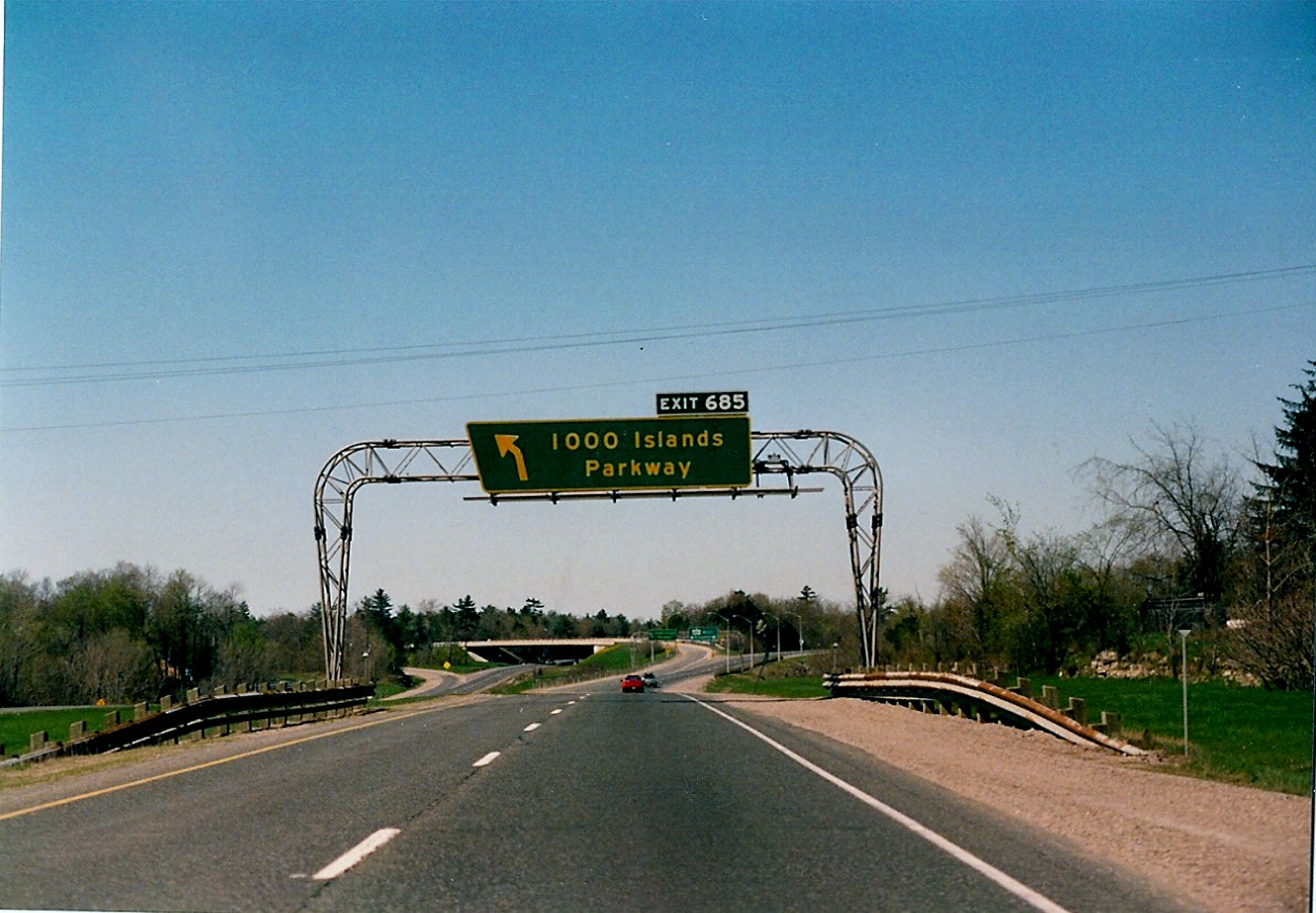 |
| Looking west along westbound Highway 401, about 1 kilometre east of the Thousand Islands Parkway interchange. April of 1991. |  |
| Distance sign located on westbound Highway 401 near the Town of Morrisburg. Km tabs are generally not used on distance signs in Ontario anymore. April of 1991. | 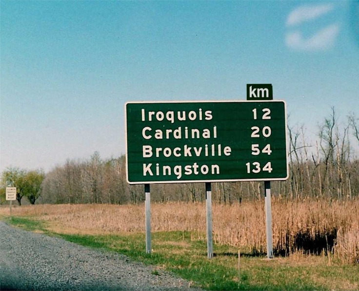 |
| 1 km advance signage for Highway 31, located on westbound Highway 401 near the town of Morrisburg. April of 1991. | 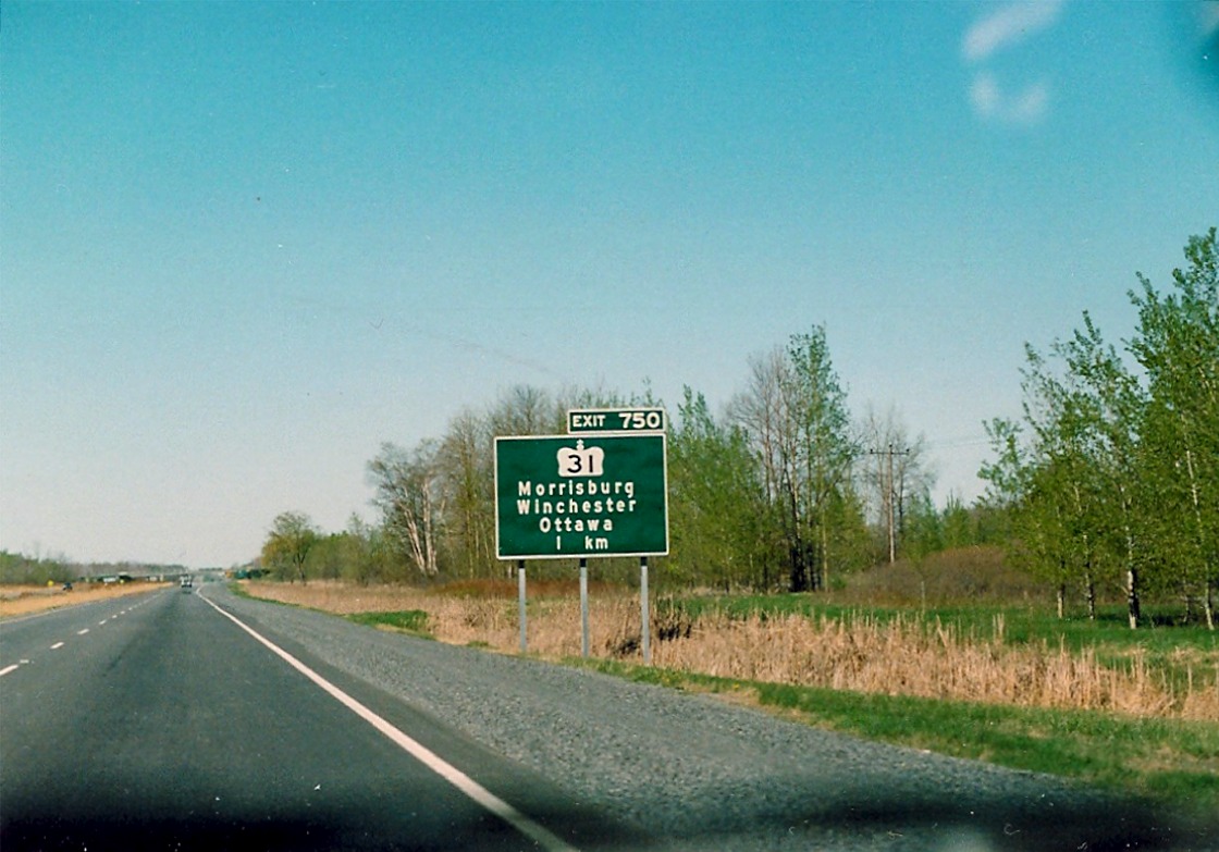 |
| Looking west along westbound Highway 401 as it approaches the Nudell Bush Road overpass. April of 1991. | 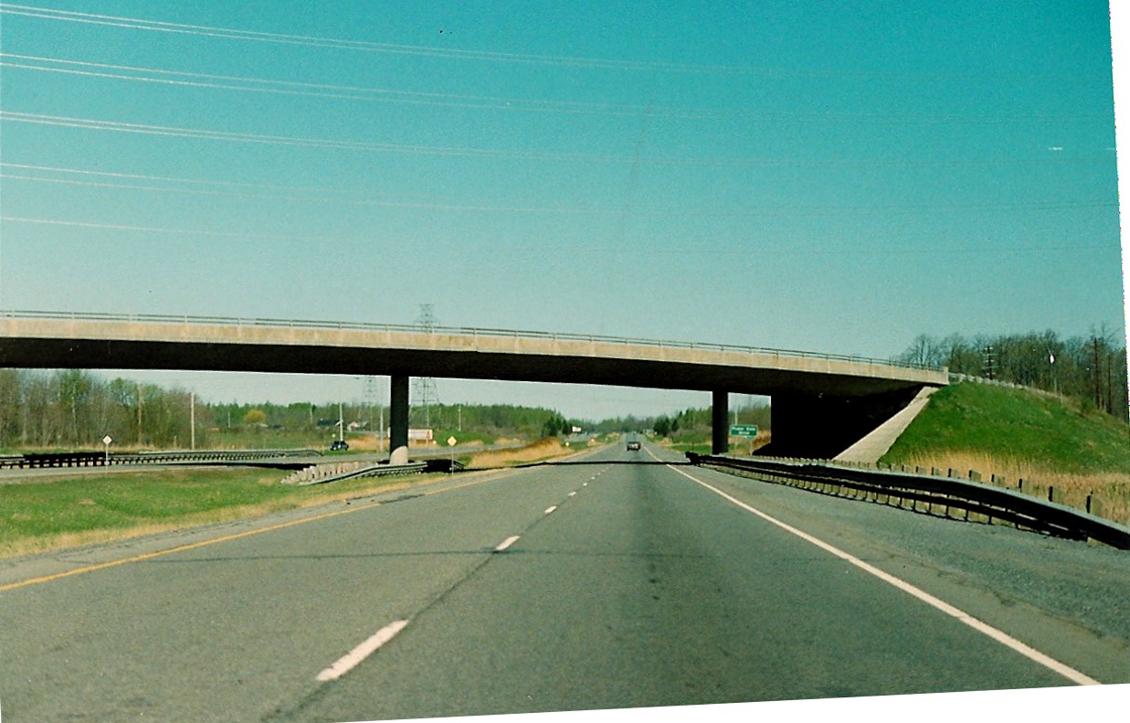 |
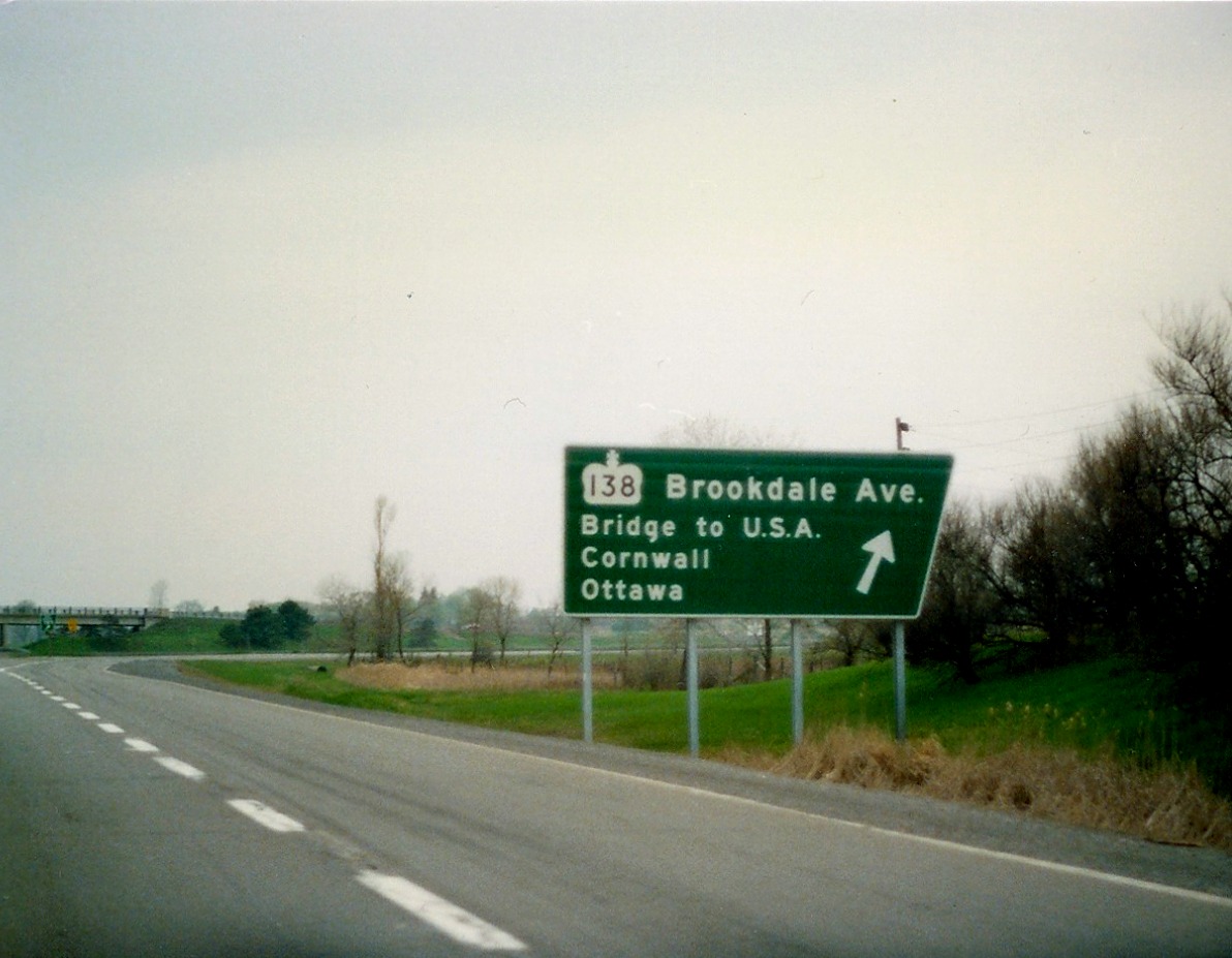 |
Ground mounted exit signage for Highway 138 located on eastbound Highway 401 in the Town of Cornwall. April of 1990. |
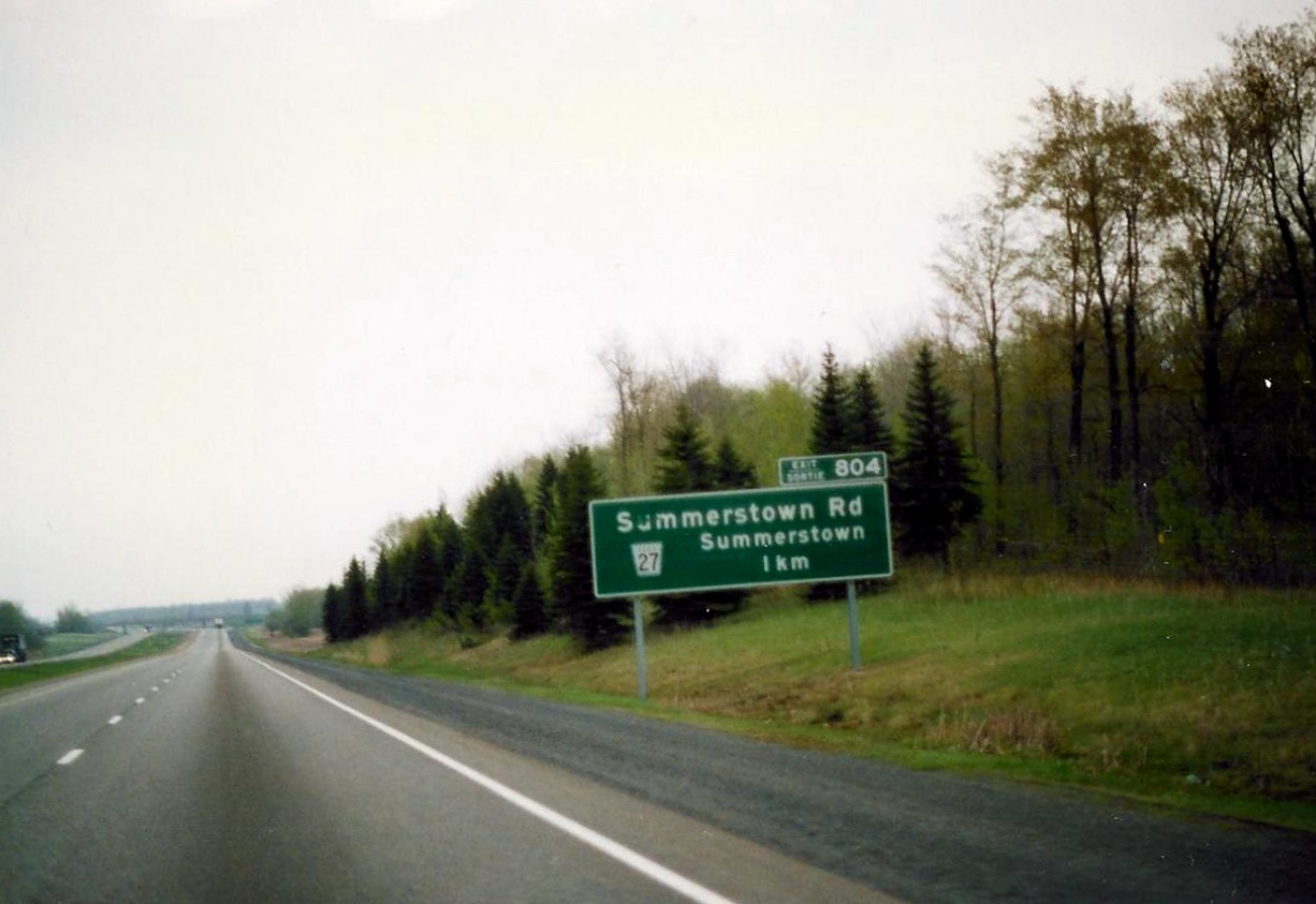 |
1 km advance signage for Summerstown Road located on eastbound Highway 401, just east of the Town of Cornwall. The regional road "flowerpot" graphic should be on the same reading plane as the Steet name. April of 1990. |
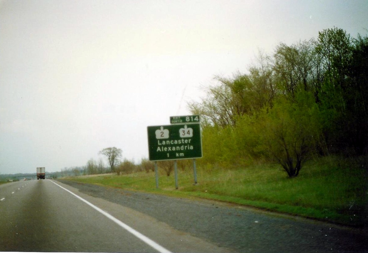 |
1 km advance signage for Highways 2 and 34 located on eastbound Highway 401, east of the Town of Cornwall. You will notice in a lot of these photos from far eastern Ontario, the crowns used on guide signs don`t look quite right. The curves on the side are a little chubby? April of 1990. |
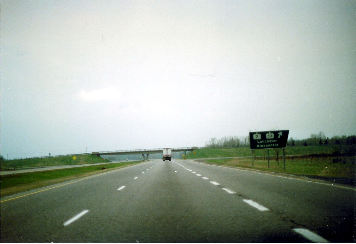 |
Facing east along eastbound Highway 401 as it approaches the Highway 2 and 34 interhcnage in Lancaster. April of 1990. |
 |
The end of an 815 kilometre journey. Looking east along eastbound Highway 401 as it terminates at the Quebec border. April of 1990. |
| Westbound Highway 401 begins at the the Ontario/Quebec border. 5th Line Road overpass in the background. April of 1990. |  |