|
Proper Municipality Name |
Photo Description |
Photo |
|
Pictures taken
from driver's perspective appear offset from centre-line pictures: |
East-
Bound |
West-
Bound |
|
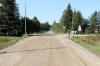
Highway 670 terminates at Highway
638 north of Bruce Mines.
Click here for Highway 638 images |
District of Algoma
(Geographical Township of Aberdeen) |
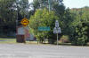
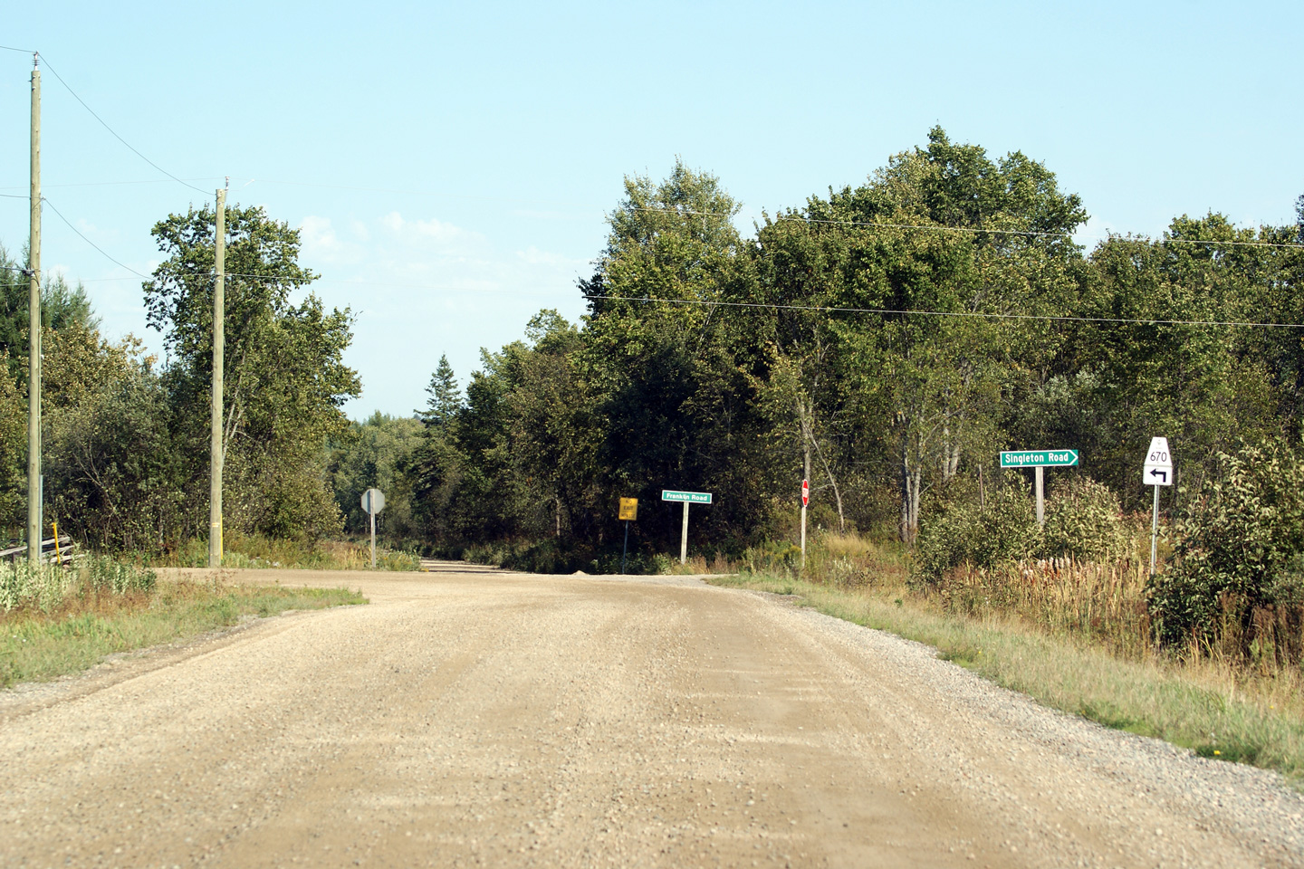
Junction assembly at the western end of Highway 670 at the Highway 638
intersection.
Photo taken: September 11th, 2012. |
 (720x480) (720x480)
(1440x960)
(2400x1600) |
District of Algoma
(Geographical Township of Aberdeen) |
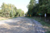
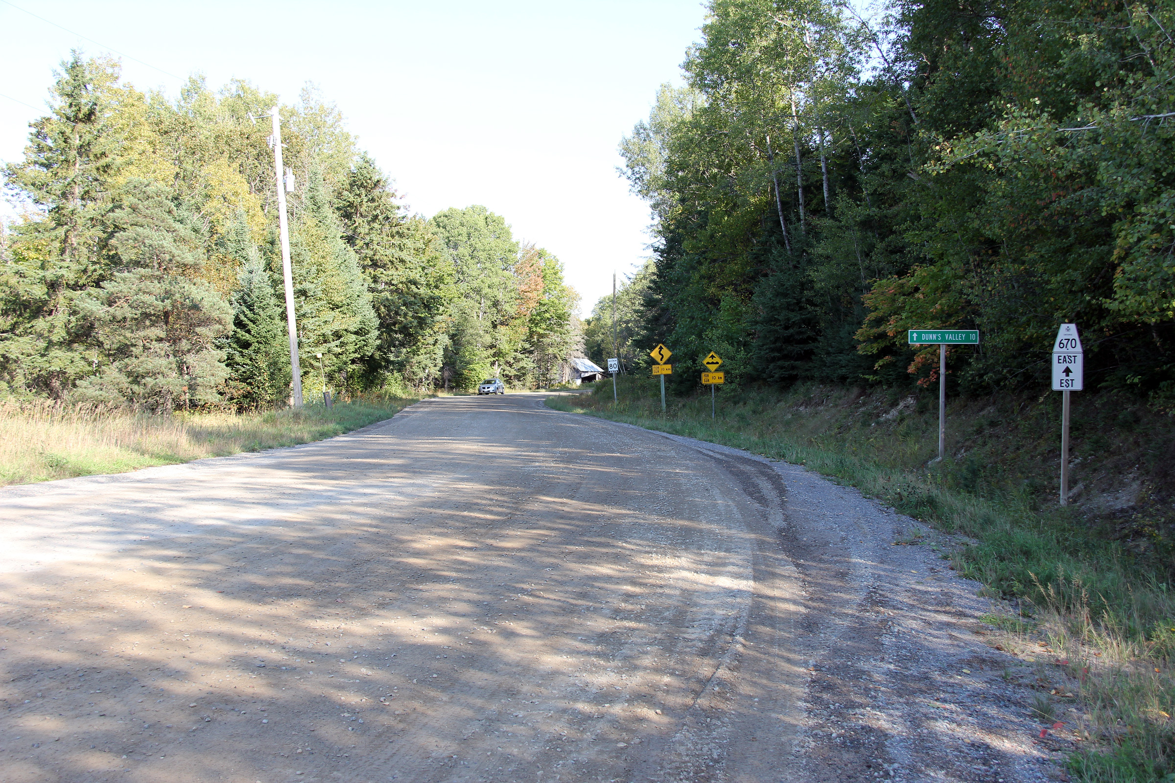
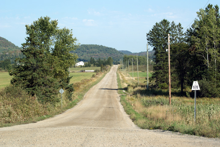
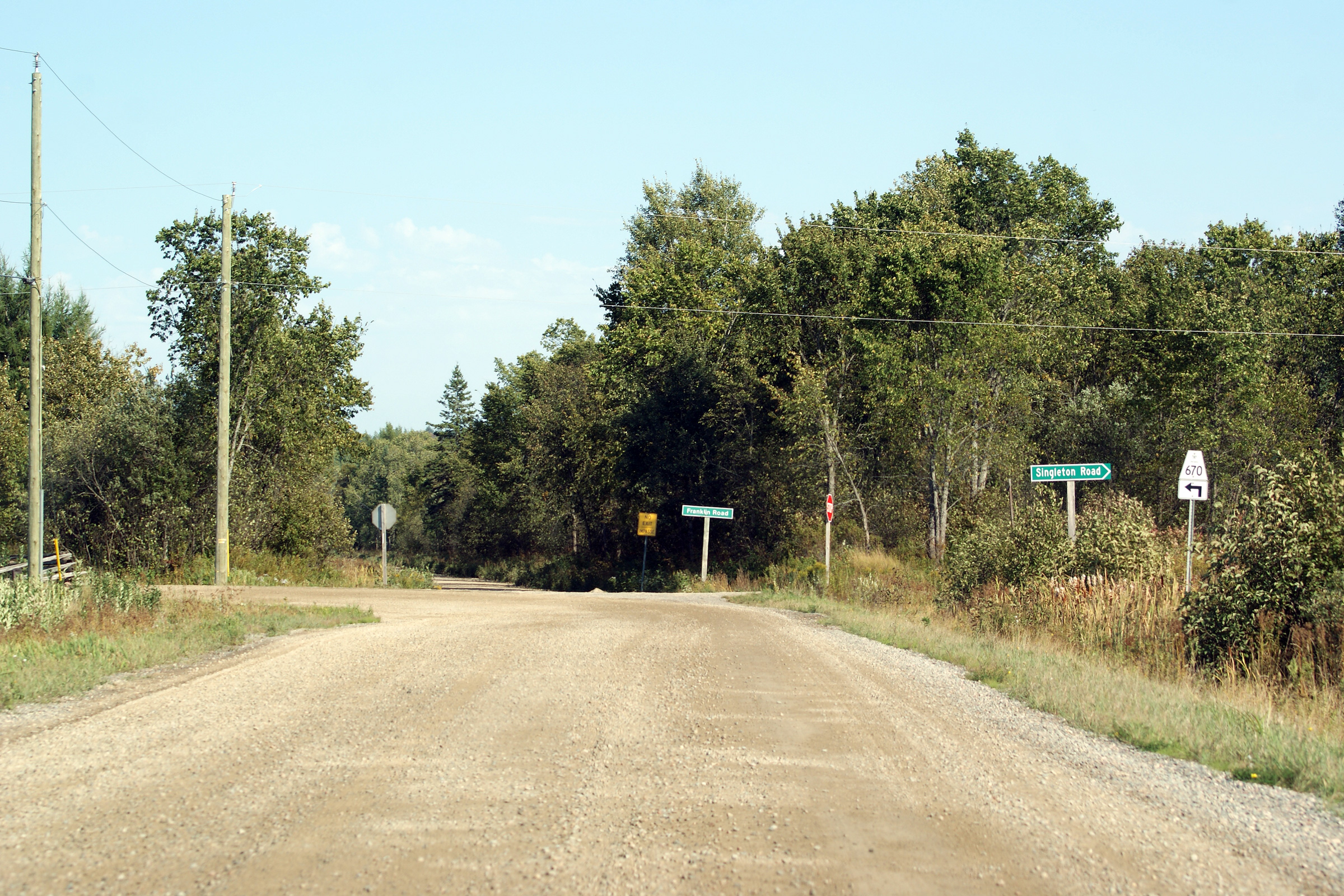
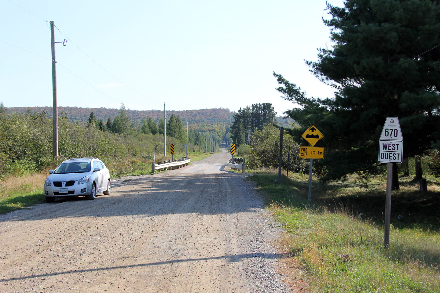
Easterly view along Highway 670 from the Highway
638 junction. The signs pictured at the beginning of Highway 670
convey Highway 670's full story. It is just shy of 10km in length, it
is unpaved for all of that distance. Despite the winding road signage,
most of Highway 670 is fairly tame, however there are times when the highway
goes in directions the driver may not have expected it to go.
Furthermore, despite the 80km/h speed limit, I wouldn't trust myself to
drive that quickly on this road.
Photo taken: September 11th, 2012. |
(720x480)
(1440x960)
(2400x1600) |
District of Algoma
(Geographical Township of Aberdeen) |
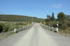
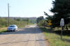
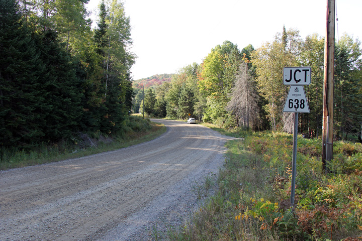
View looking westerly approaching the Highway
638 junction. Photo taken: September 11th, 2012. |

(720x480)
(1440x960)
(2400x1600) |
District of Algoma
(Geographical Township of Gailbraith) |
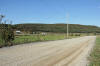
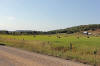
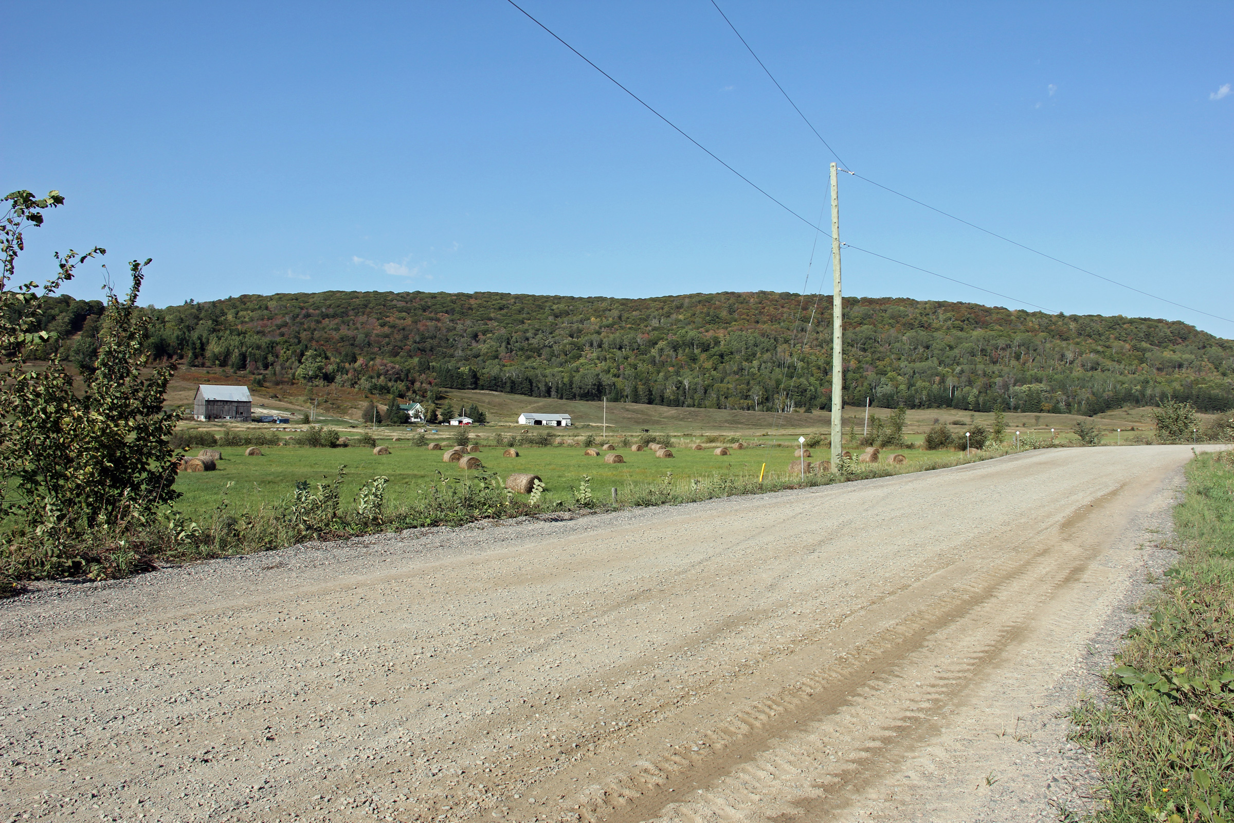
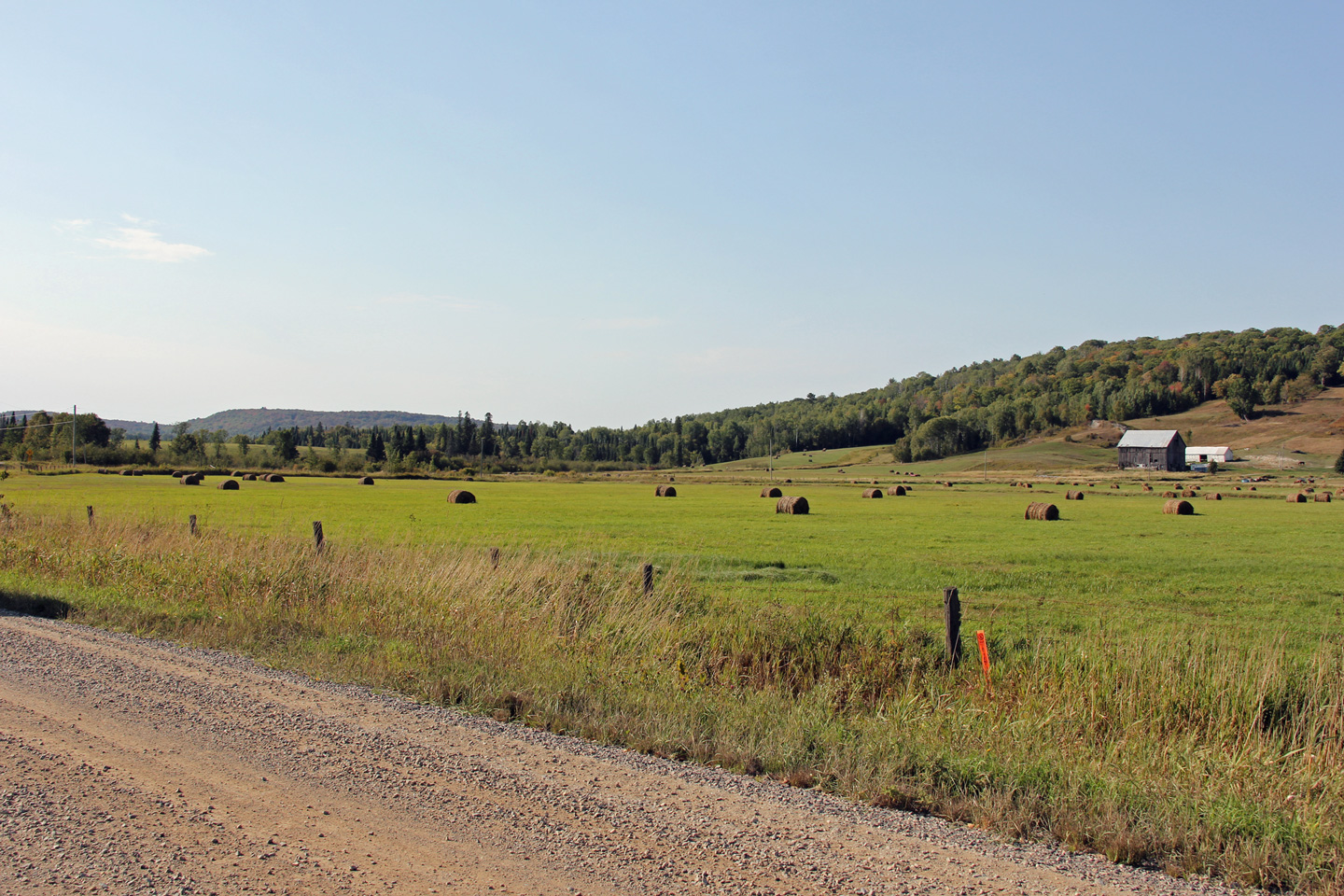
The Algoma countryside that Highway 670 passes through is quite unique.
The road passes through rugged, rocky mountainous terrain that is punctuated
with smooth, fertile and prosperous farmland. The southern part of
Algoma District is one of Ontario's hidden gems. Photo taken:
September 11th, 2012. |

(720x480)
(1440x960)
(2400x1600) |
District of Algoma
(Geographical Township of Gailbraith) |
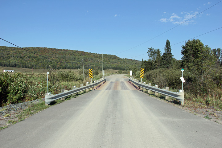
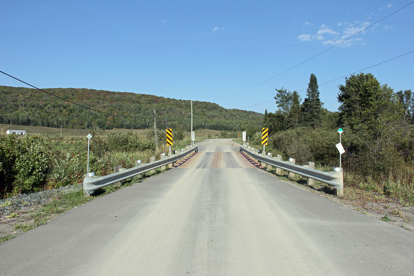
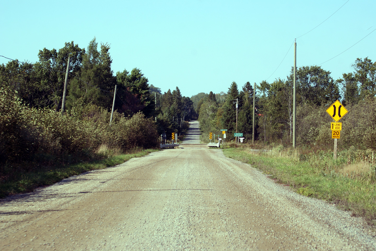
Highway 670 crosses three small watercourses via
similar single lane modular bridges. Photo taken: September 11th, 2012. |
(720x480)
(1440x960)
(2400x1600) |
District of Algoma
(Geographical Township of Gailbraith) |
Easterly view along Highway 670. The high
hills of southern Algoma District tower over the peaceful farmland below. Photo taken: September
11th, 2012. |
(720x480)
(1440x960)
(2400x1600) |
District of Algoma
(Geographical Township of Gailbraith) |
Many of the farms in Algoma District grow
grasses. Photo taken: September 11th, 2012. |
(720x480)
(1440x960)
(2400x1600) |
District of Algoma
(Geographical Township of Gailbraith) |
Unexpectedly, Highway 670 turns left at a local road junction just before
Dunn's Valley Photo taken:
September 11th, 2012. |
(720x480)
(1440x960)
(2400x1600) |
District of Algoma
(Geographical Township of Gailbraith) |
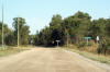
Highway 670 now leads eastbound traffic to the
north. Highway 670 heads north for about 1km before terminating at an
indiscriminate local road intersection. Photo taken: September 11th, 2012. |

(720x480)
(1440x960)
(2400x1600) |
District of Algoma
(Geographical Township of Gailbraith) |
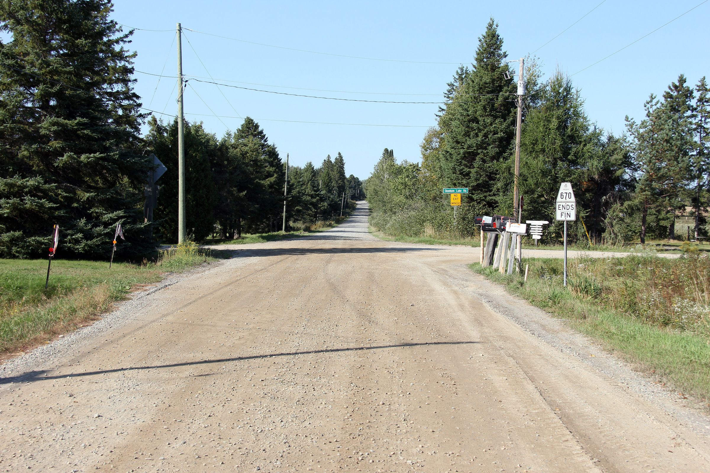
View looking westerly along Highway 670 from the
eastern terminus of the highway. Photo taken: September 11th, 2012. |
(720x480)
(1440x960)
(2400x1600) |
District of Algoma
(Geographical Township of Gailbraith) |
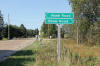
Fingerboard signage at the eastern terminus of Highway 670. Highway
670 ends at a very arbitrary location. The local road network
continues in all directions from this location. Highway 129 is
accessible from the Shaw Road .
Photo taken: September 11th, 2012. |
 (720x480) (720x480)
(1440x960) |
District of Algoma
(Geographical Township of Gailbraith) |
View looking easterly at the eastern terminus of
Highway 670. Photo taken: September 11th, 2012. |
(720x480)
(1440x960)
(2400x1600) |
 (720x480)
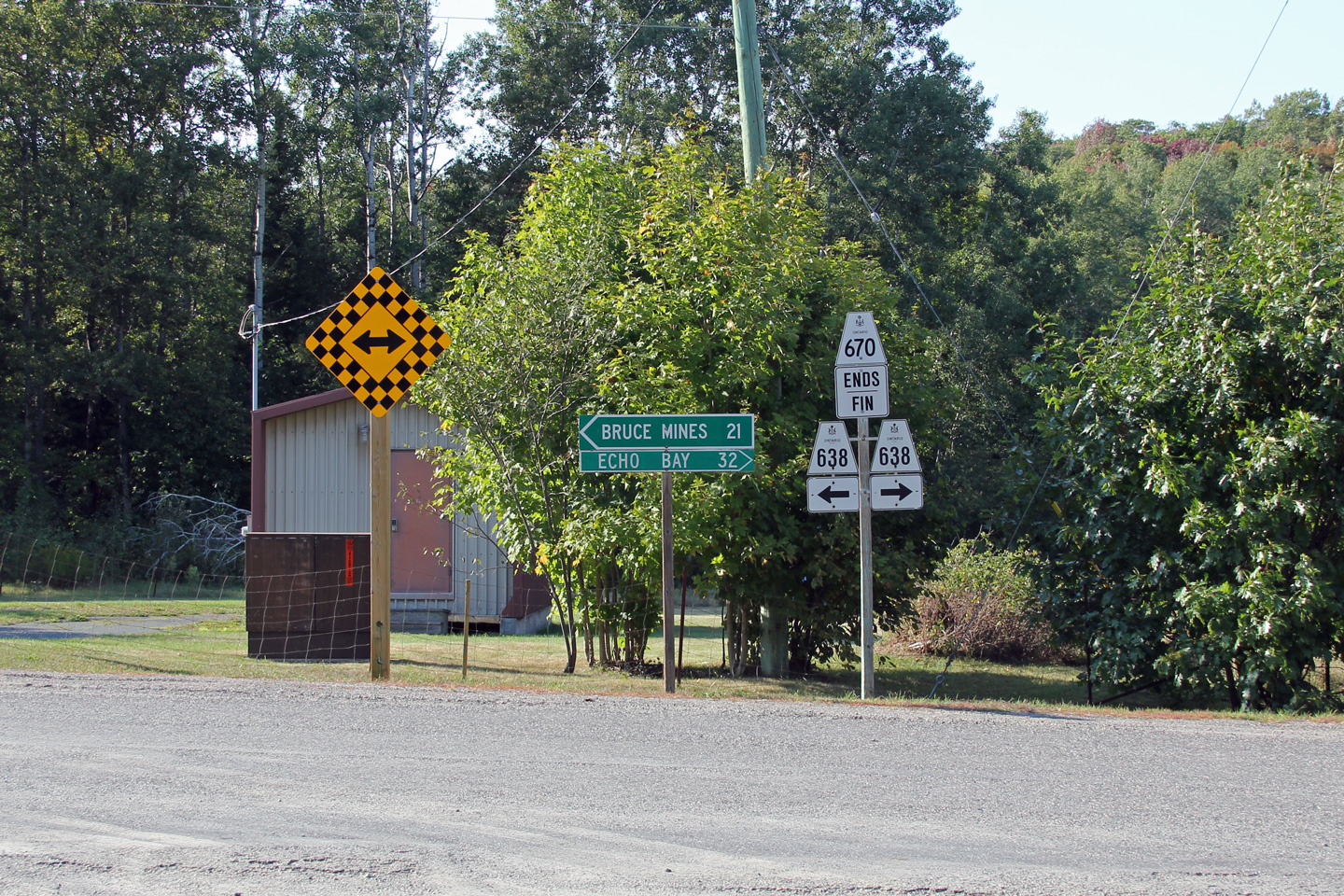


 (720x480)
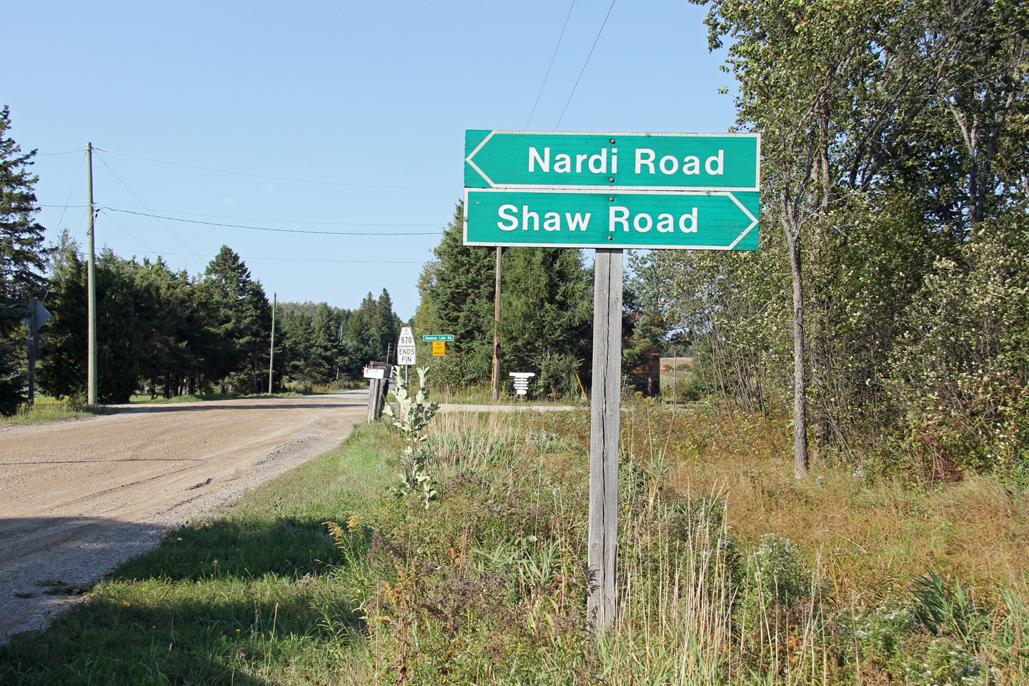
