Pictures taken from driver's perspective appear offset from centre-line pictures:
Bound
Bound
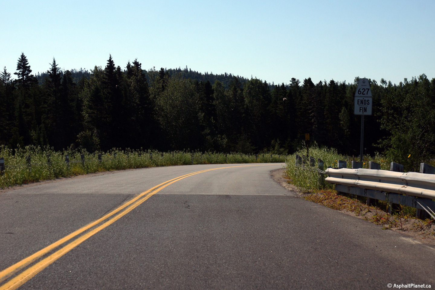
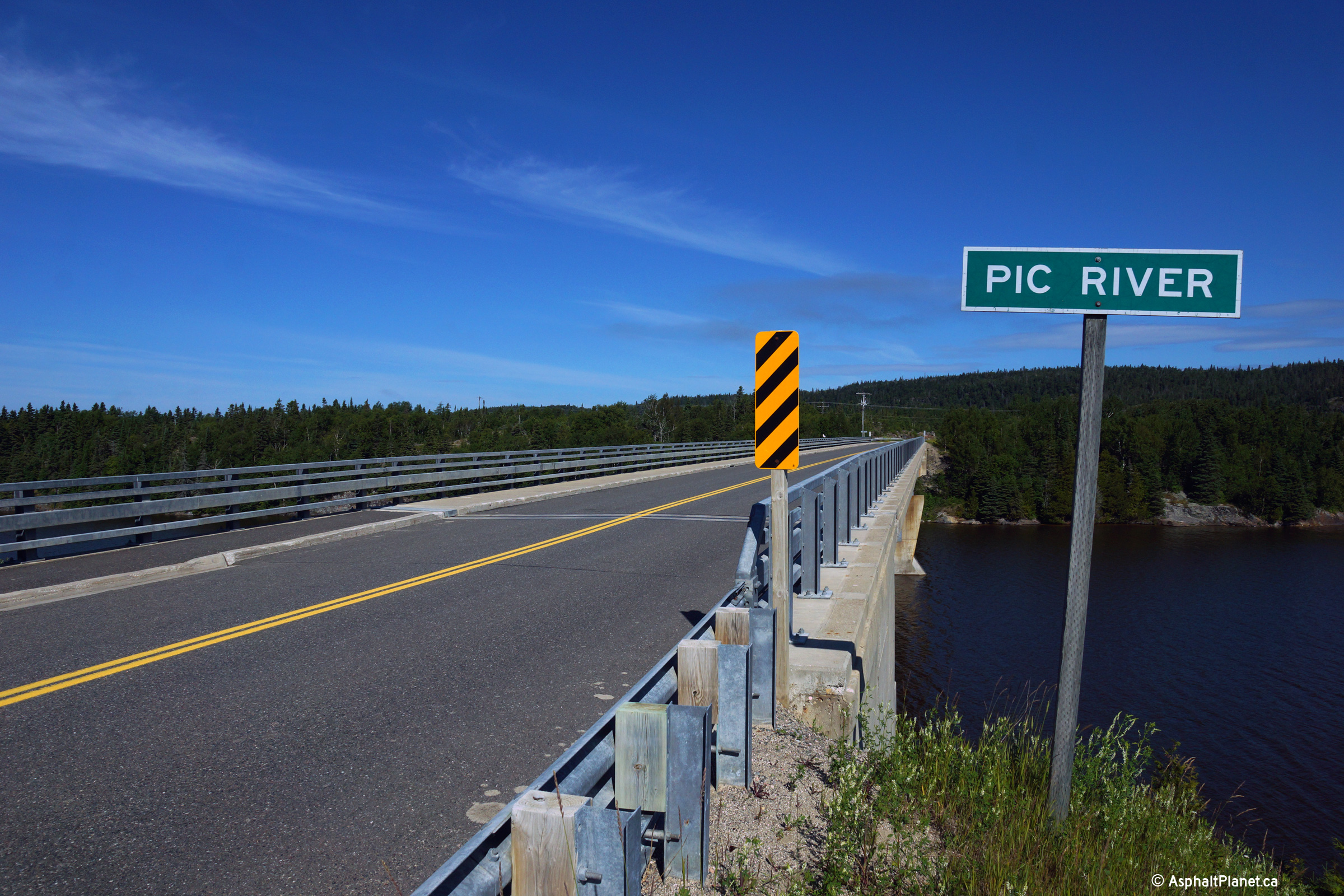
Photo taken: August 1st, 2015.
(720x480) (1440x960) (2400x1600)

(720x480) (1440x960) (2400x1600)
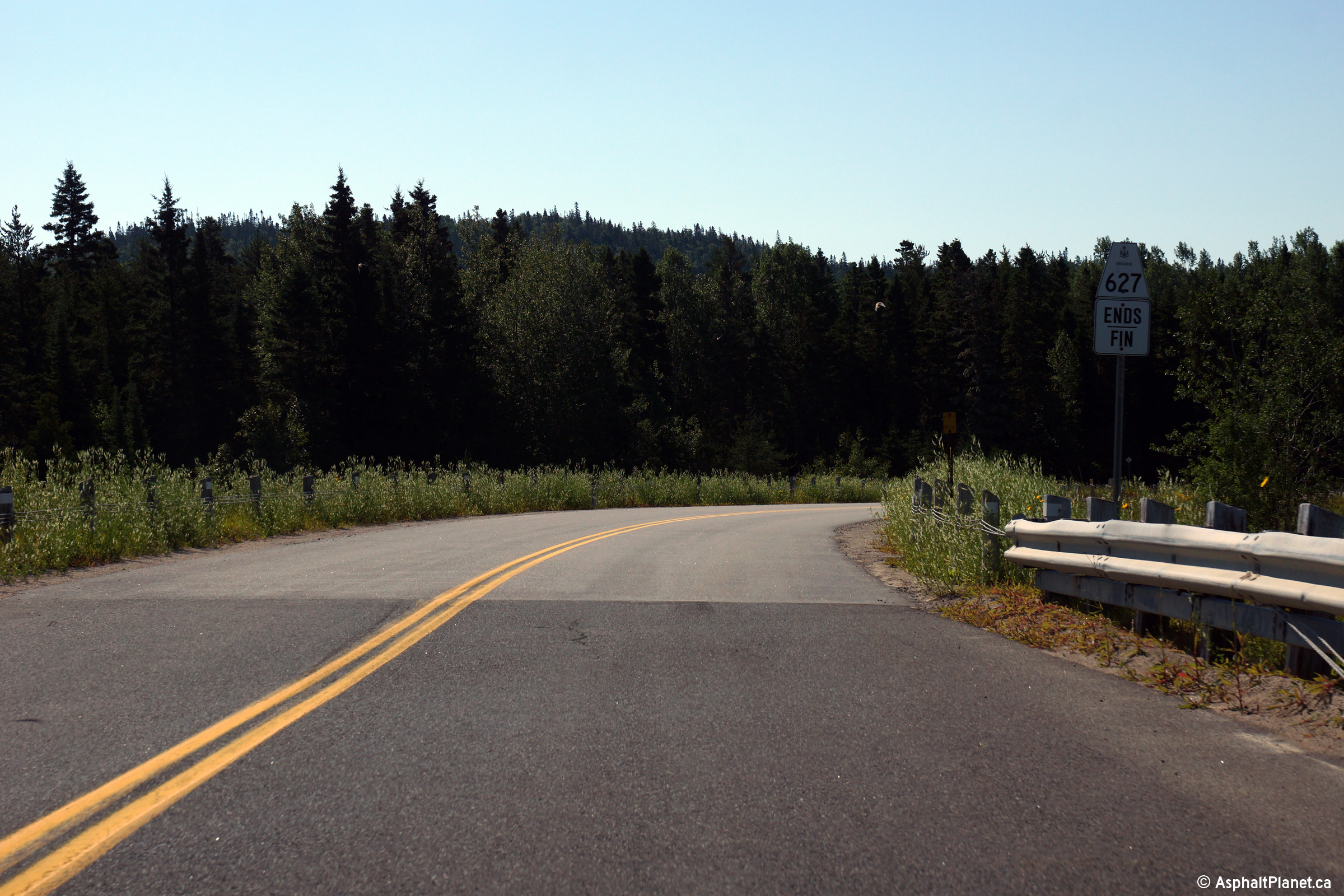
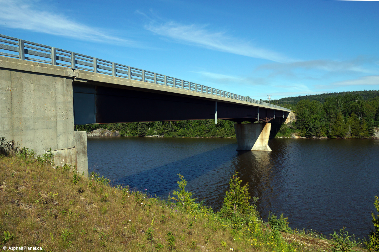
Photo taken: August 1st, 2015.
(720x480) (1440x960) (2400x1600)

(720x480) (1440x960) (2400x1600)
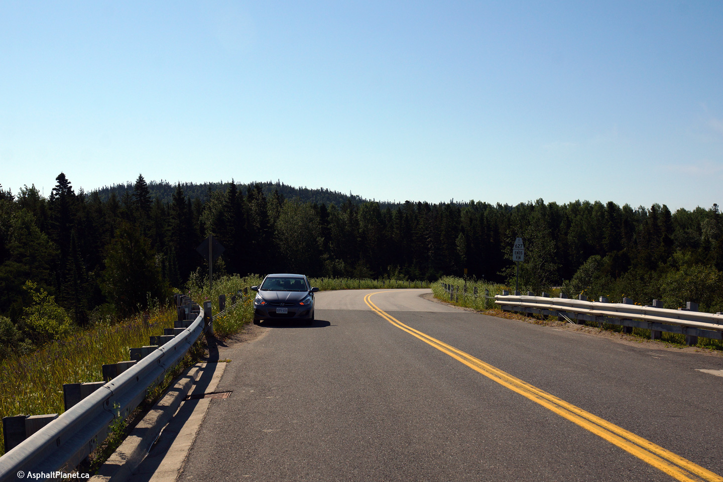
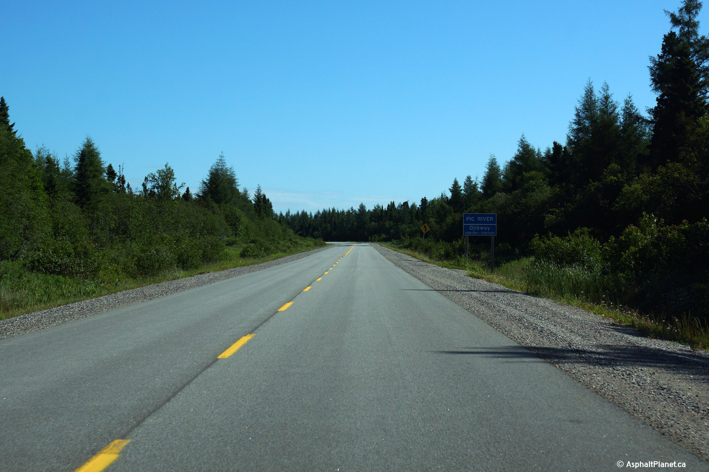
Photo taken: August 1st, 2015.
(720x480)
(1440x960)
(2400x1600)
(720x480)
(1440x960)
(2400x1600)
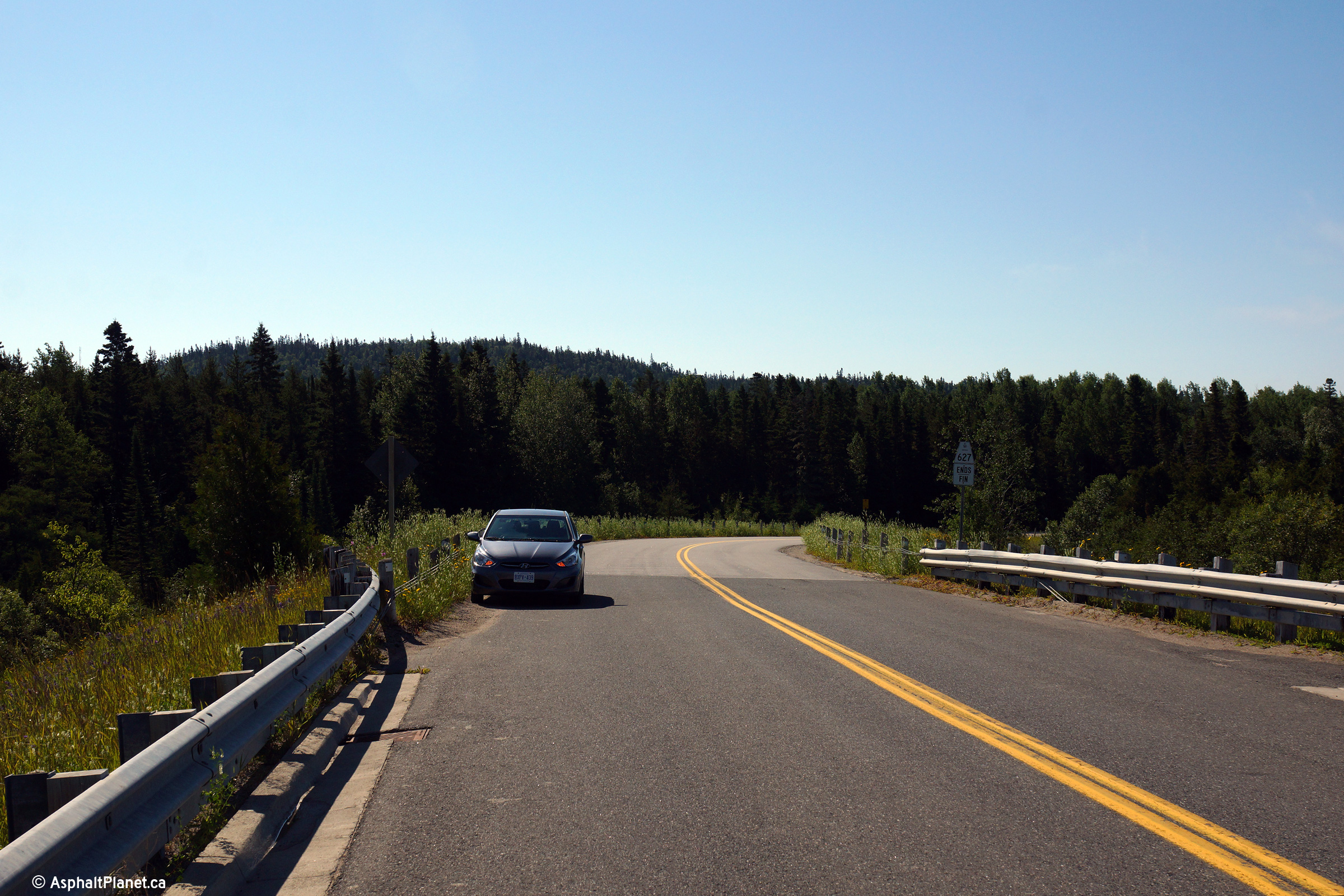
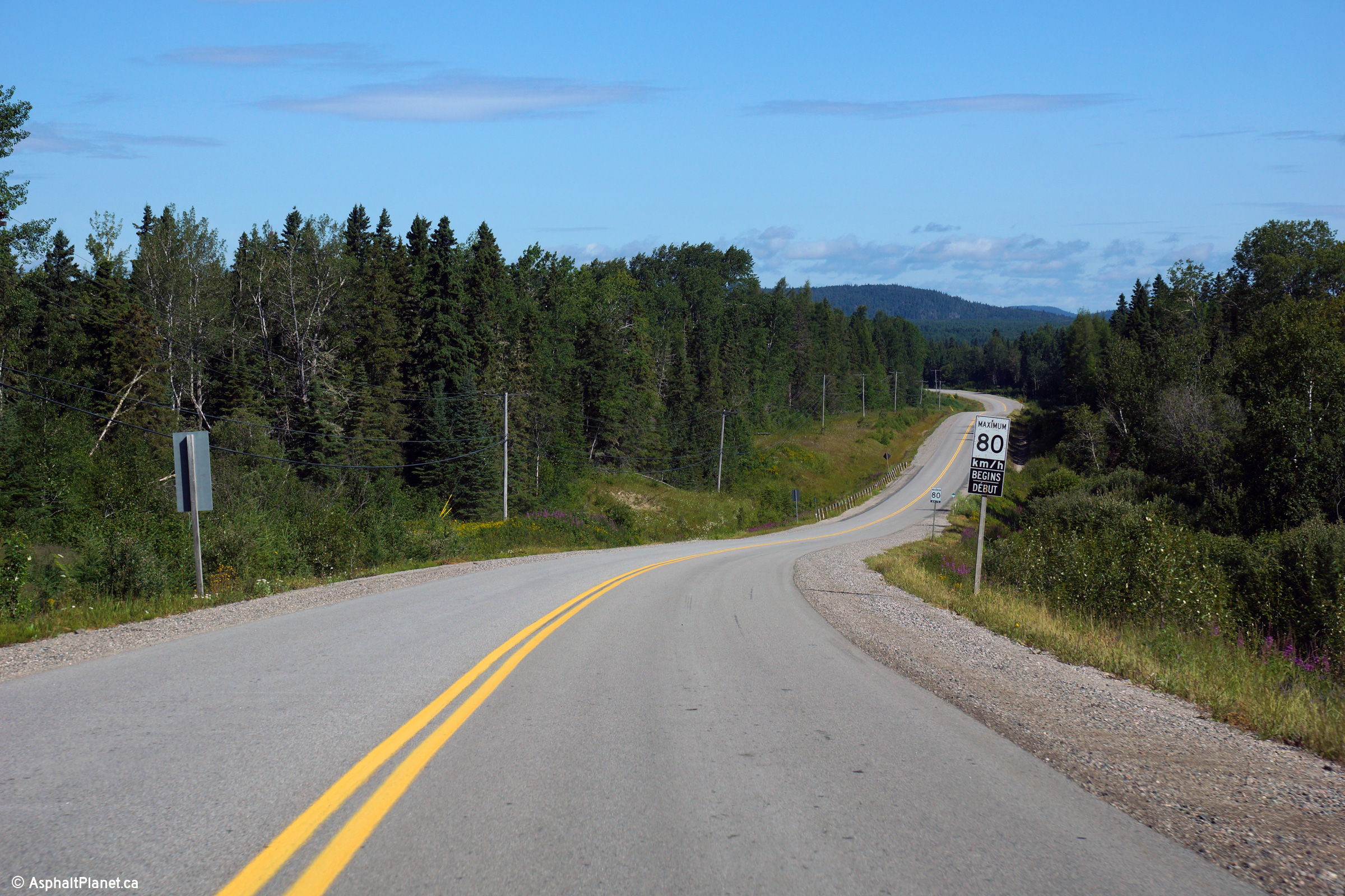
Photo taken: August 1st, 2015.

(720x480) (1440x960) (2400x1600)
Photo taken: August 1st, 2015.

Photo taken: August 1st, 2015.

(720x480) (1440x960) (2400x1600)
Photo taken: August 1st, 2015.

(720x480) (1440x960) (2400x1600)
Photo taken: August 1st, 2015.

(720x480) (1440x960) (2400x1600)

(720x480) (1440x960) (2400x1600)
Photo taken: August 1st, 2015.
 (720x480)
(1440x960)
(2400x1600)