|
Proper Municipality Name
|
Photo Description
|
Photo
|
|
Pictures taken
from driver's perspective appear offset from centre-line pictures: |
North-
Bound
|
South-
Bound
|
|
Highway 555 ends at Highway 557.
Click here for Highway
557 images. |
Town of Blind River
District of Algoma |
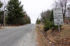
Southbound view at the southern terminus of the former Highway 555 at
Highway 557. As is evident in the photo, the intersection favours
through movements between Highway 557 and Highway 555.
Photo taken: April 10th, 2012. |

(720x480)
(1440x960)
(2400x1600) |
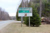
Town of Blind River
District of Algoma |
Northbound view just north of the Highway 557 junction.
Photo taken: April 10th, 2012. |
(720x480)
(1440x960)
(2400x1600) |
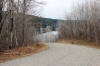
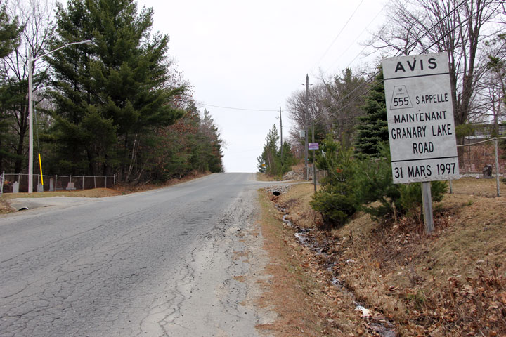
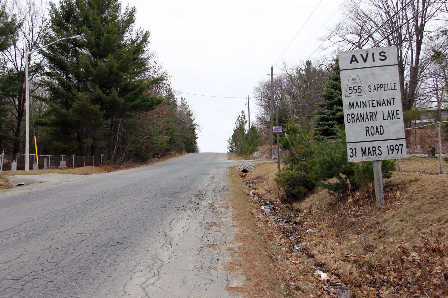
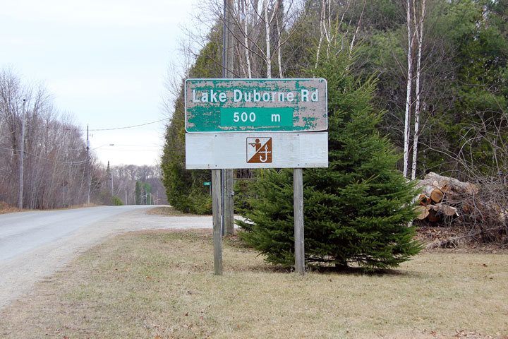
Town of Blind River
District of Algoma |
Southbound advanced signage for the Lake Duborne Road intersection.
Considering that Highway 555 simply dead-ends to the north of this
intersection, it is surprising that the Lake Duborne Road intersection is
signed as well in the southbound direction as it is.
Photo taken: April 10th, 2012. |
(720x480)
(1440x960) |
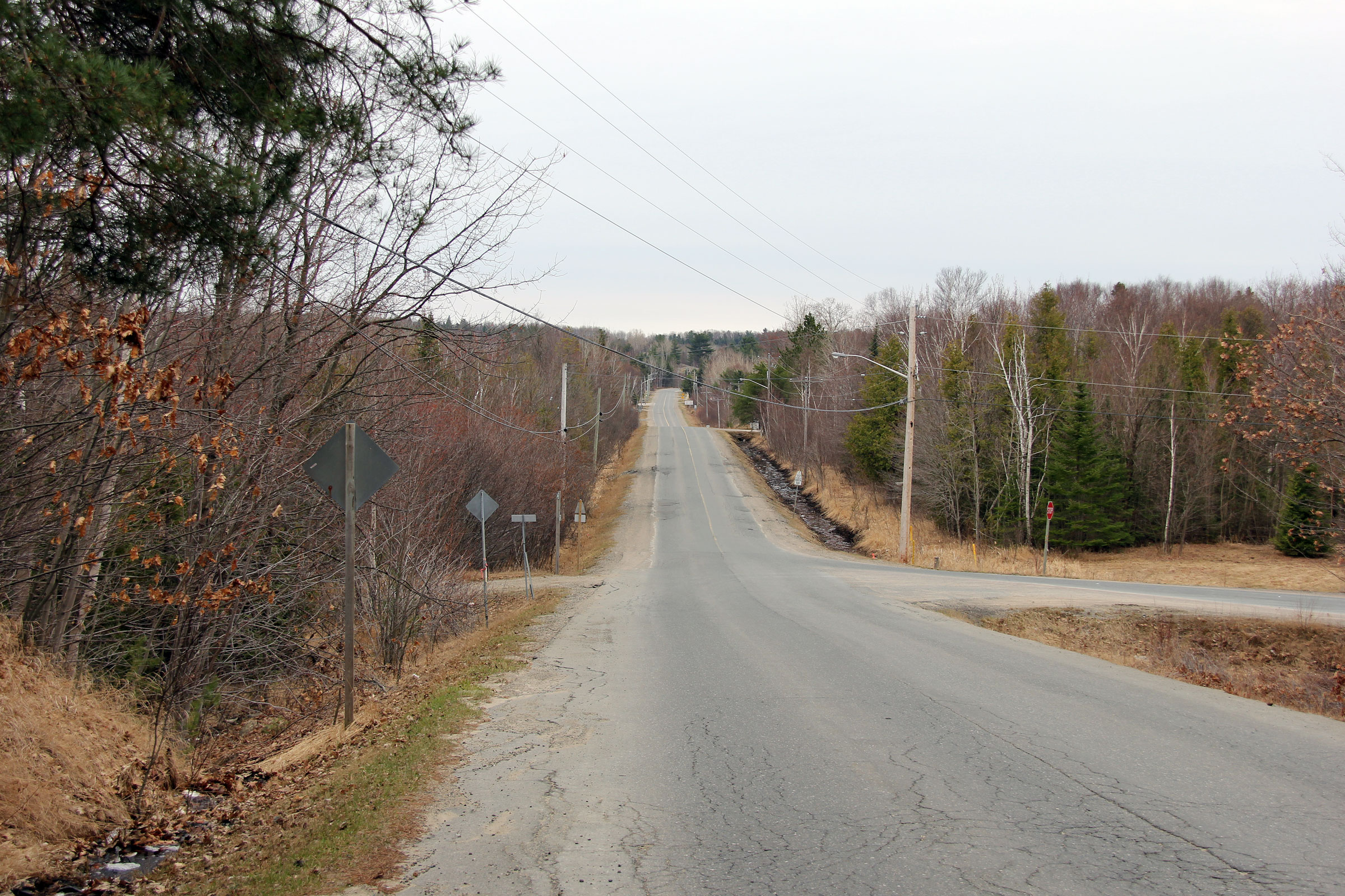
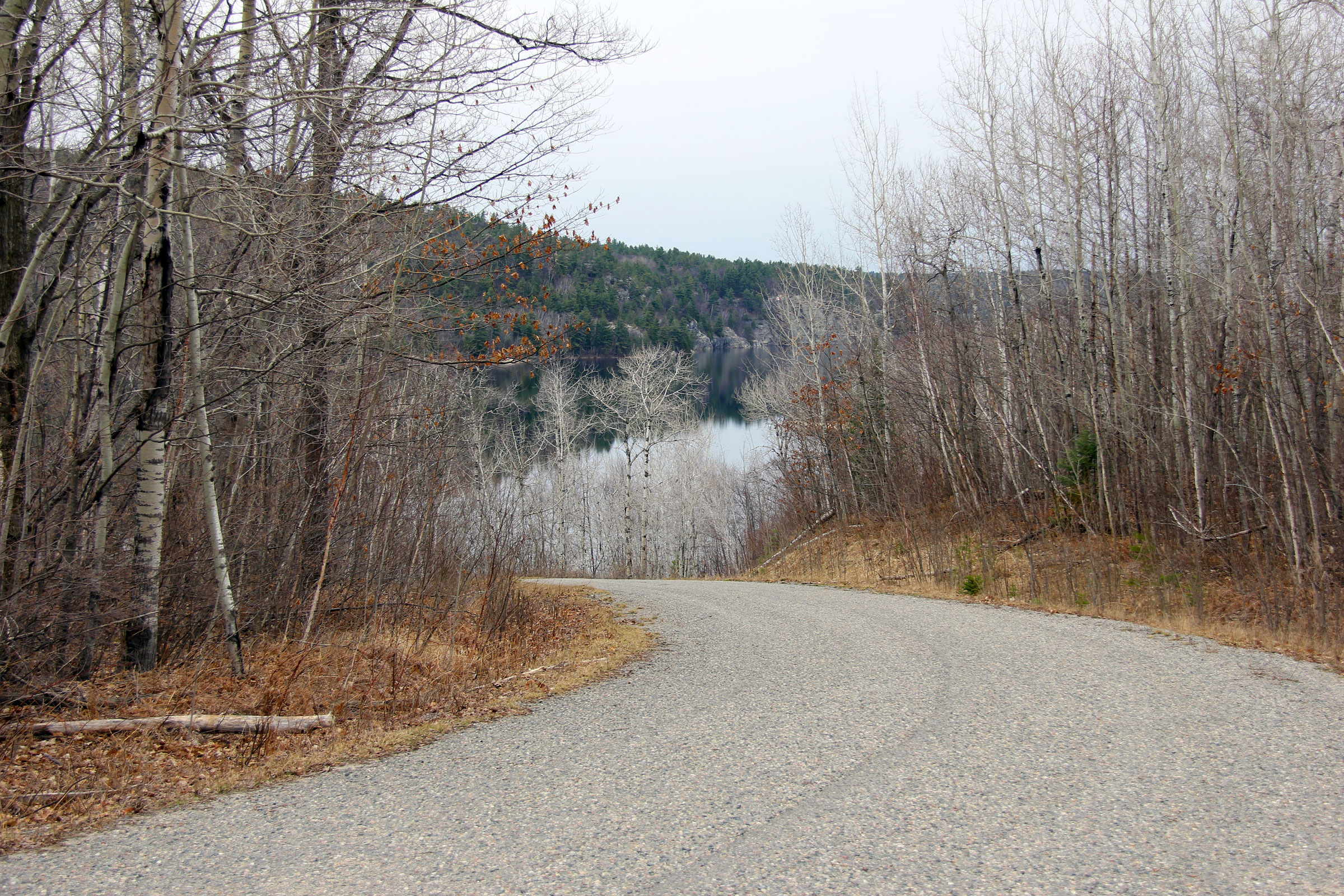
Town of Blind River
District of Algoma |
Northerly view at the end of Highway 555 approaching Lake Magog.
Photo taken: April 10th, 2012. |
(720x480)
(1440x960)
(2400x1600) |

