|
Proper Municipality Name |
Photo Description |
Photo |
|
Pictures taken
from driver's perspective appear offset from centre-line pictures: |
East-
Bound |
West-
Bound |
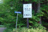
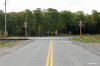
| District of Algoma |
Oversized Highway 552 ends sign at the western end of Highway 552.
Photo taken: July 2nd, 2006. |
 (720x480) (720x480)
(1440x960) |
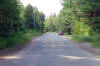
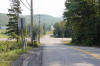
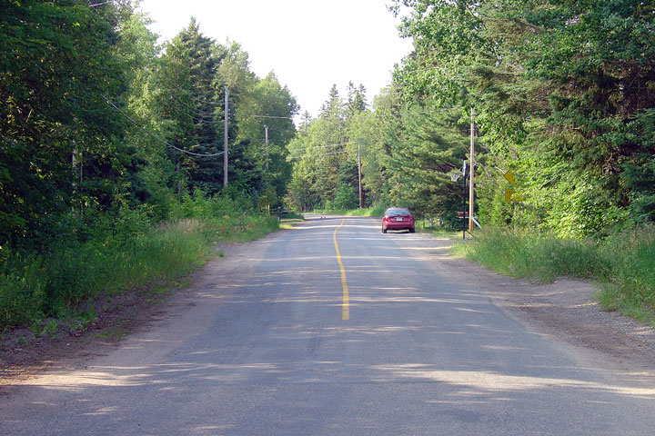
| District of Algoma |
View looking easterly along Highway 552 from the highways western terminus. Photo
taken: July 2nd, 2006. |
(720x480)
(1440x960) |
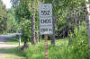
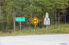
| District of Algoma |
Advanced signage that denotes the upcoming western terminus of Highway 552. Photo taken: July 2nd, 2006. |
 (720x480) (720x480)
(1440x960) |
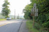
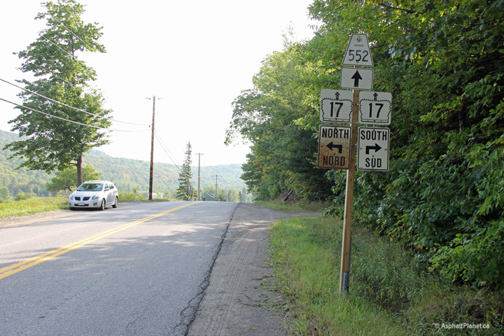
| District of Algoma |
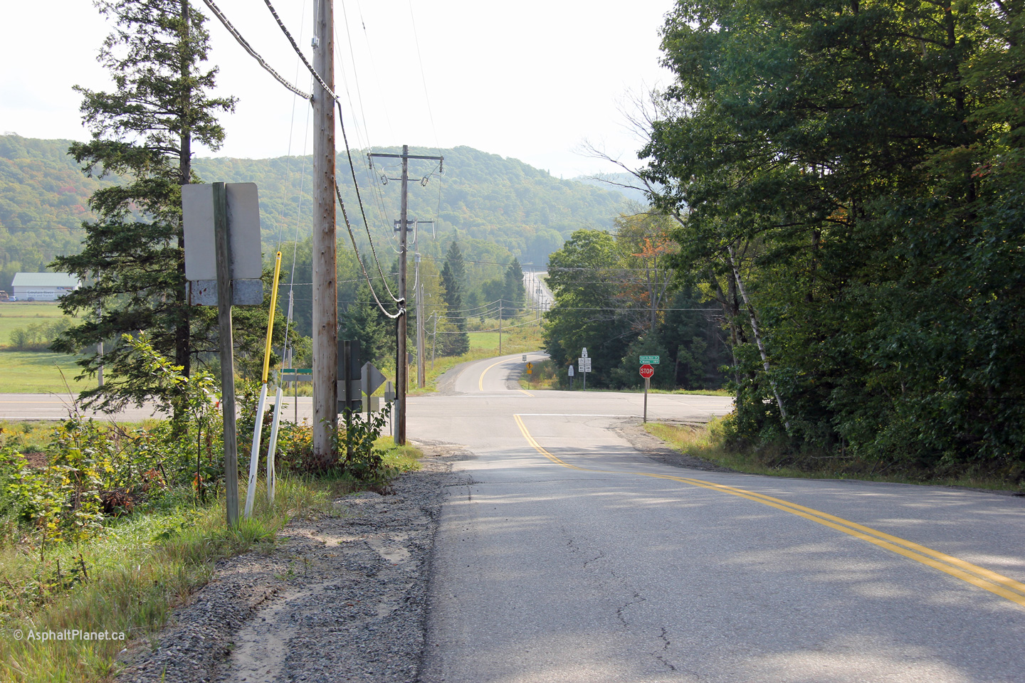
Advanced signage for the Highway 17 intersection. Photo taken: September
11th, 2012. |
 (720x480) (720x480)
(1440x960) |
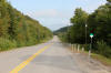
| District of Algoma |
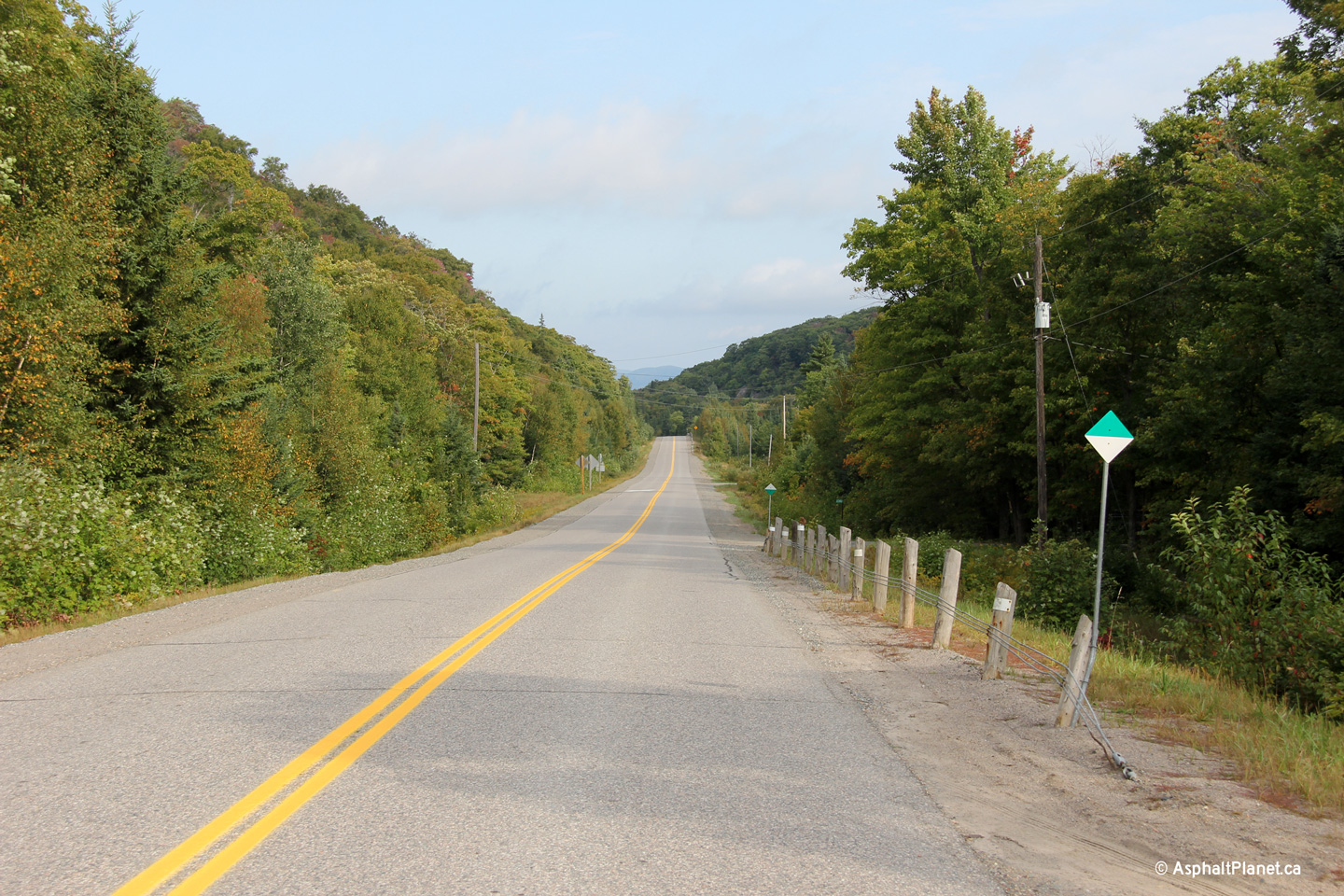
This view looks easterly along Highway 552 approaching its junction with
Highway 17. The valleys in this part of the Algoma District were
enshrouded with a light fog on the cool September morning when this photo
was taken. This part of Algoma District has almost a maritime climate
as its weather patterns are greatly influenced by Lake Superior to the west.
Photo taken: September 11th, 2012. |
(720x480)
(1440x960)
(2400x1600) |
|
Highway 17 is the Lake Superior
Route of the Trans-Canada Highway.
Click here for
Highway 17 images. |
| District of Algoma |
Westerly view along Highway 552 from just west of the Soo Railway crossing. Photo
taken: September 11th, 2012. |
(720x480)
(1440x960)
(2400x1600) |
| District of Algoma |
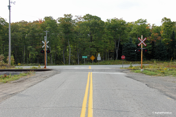
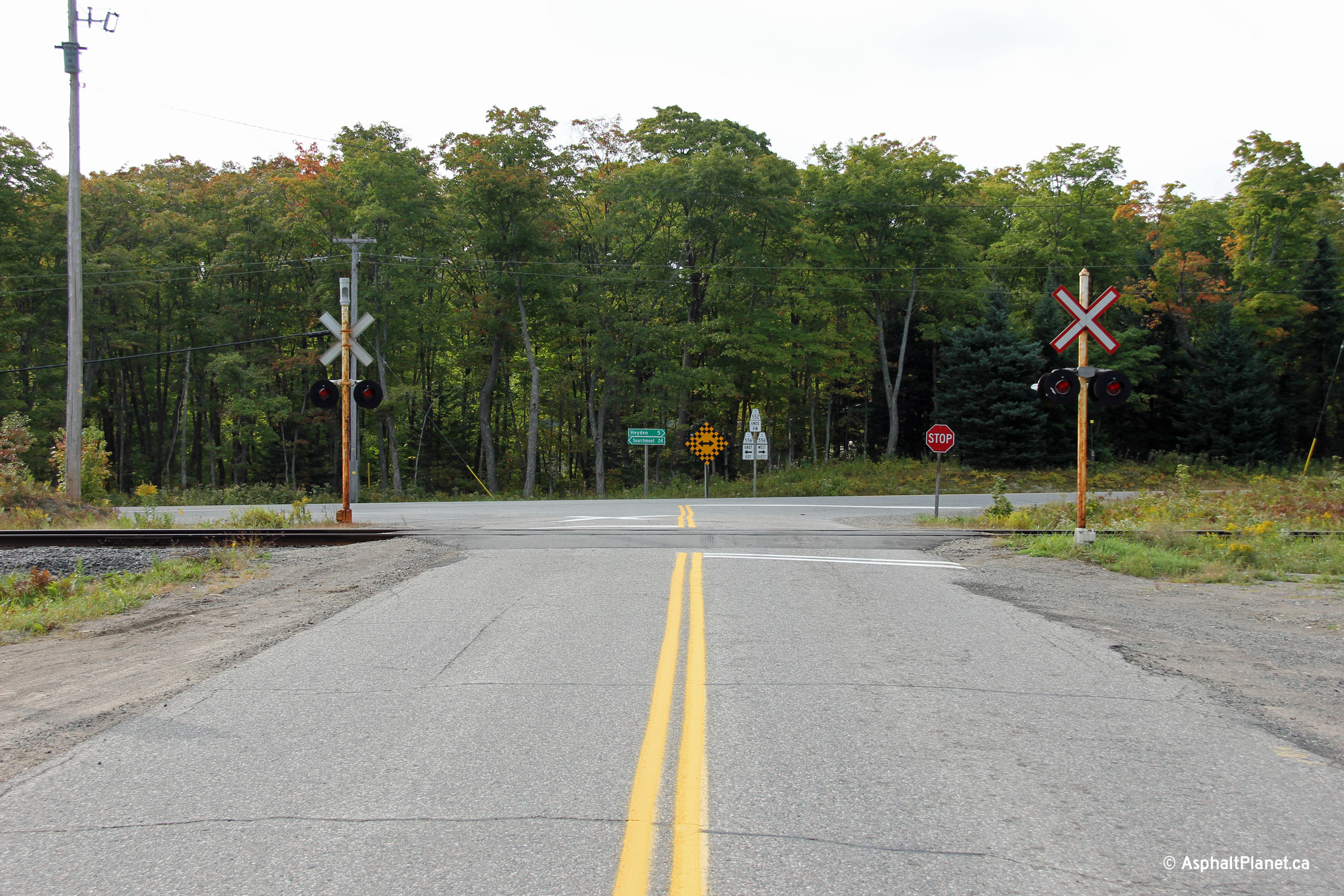
This view looks easterly towards the eastern terminus of Highway 552 at
Highway 556. Highway 552 crosses CN's Soo Line immediately prior to
terminating at Highway 556. Photo taken: September 11th, 2012. |
(720x480)
(1440x960)
(2400x1600) |
| District of Algoma |
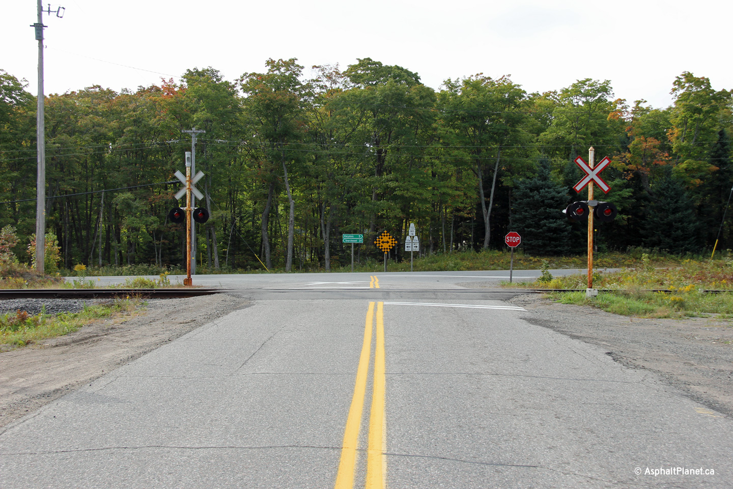
Eastbound signage assembly denoting the eastern terminus of Highway 552 at
Highway 556. Photo taken: September 11th, 2012. |
 (720x480) (720x480)
(1440x960) |
|
Highway 556 is a long and remote
highway that carries traffic through the Algoma Highlands between Highways 17
and 129. Click here for
Highway 556 images. |
 (720x480)
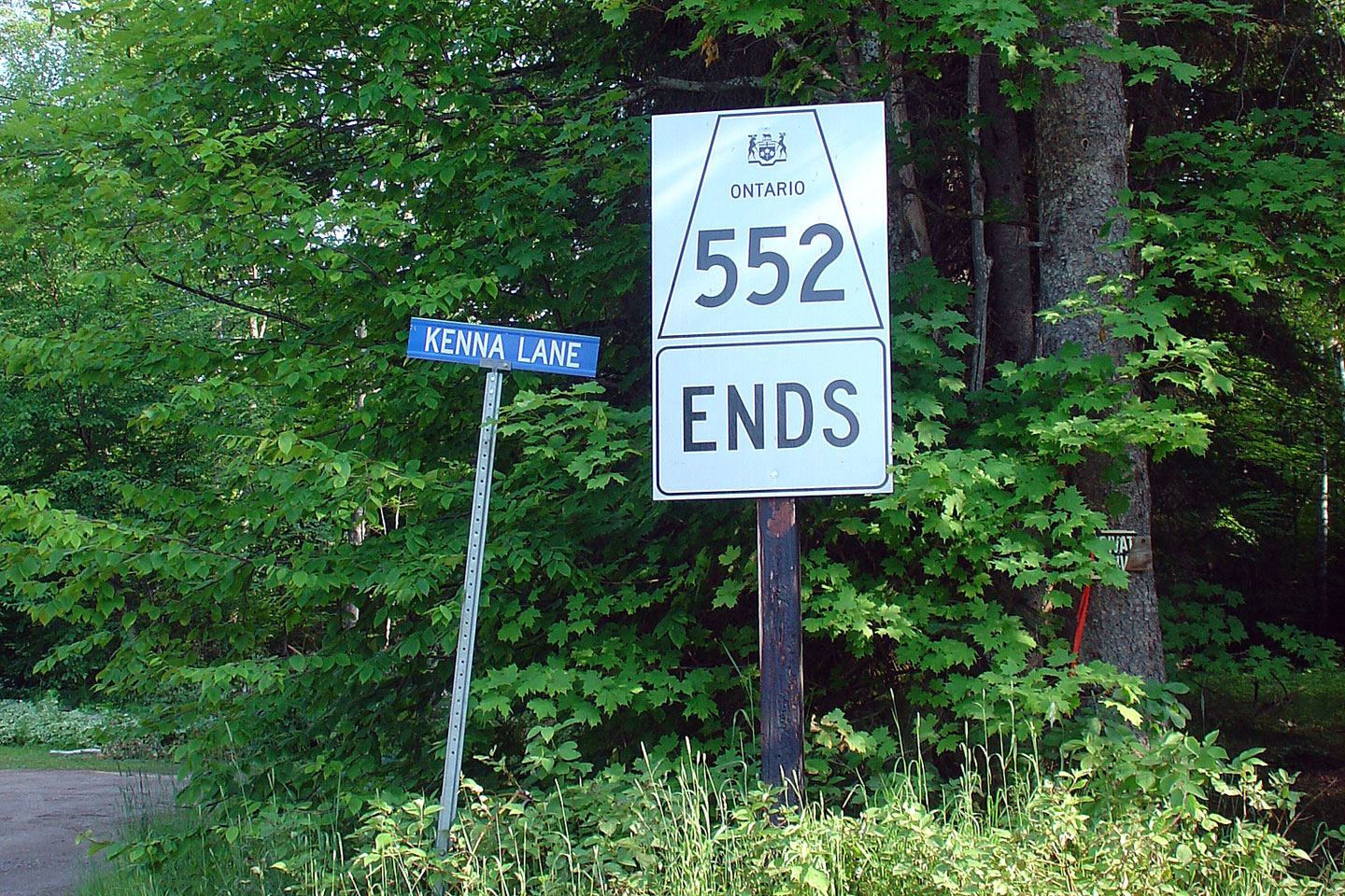
 (720x480)
 (720x480)
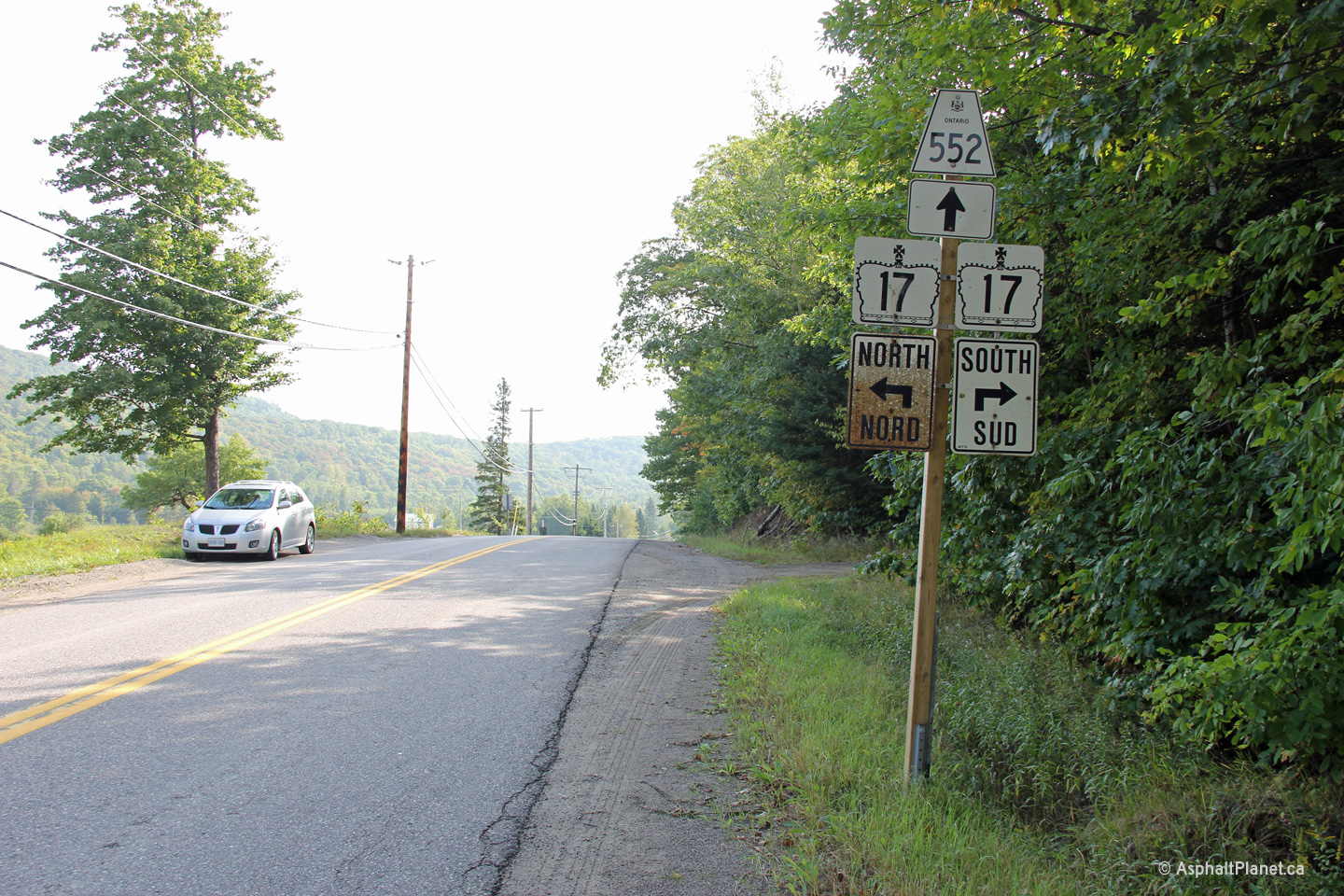


 (720x480)
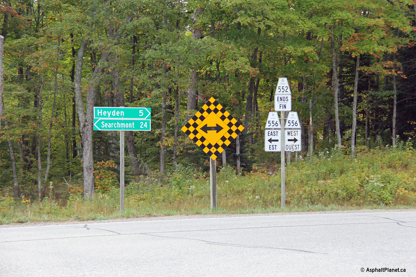