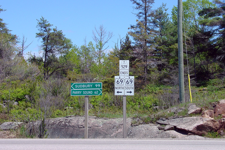
District of Parry Sound
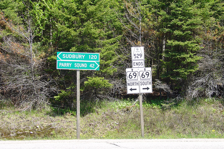
This photo is of the junction assembly located at the southern terminus of Highway 529 where it meets Highway 69 just north of Pointe au Baril.
Photo taken: May 29th, 2004.
 (720x480)
(1440x960)
District of Parry Sound
Photo taken: September 20th, 2015.
(720x480) (1440x960) (2400x1600)
District of Parry Sound
Photo taken: September 20th, 2015.

(720x480) (1440x960) (2400x1600)
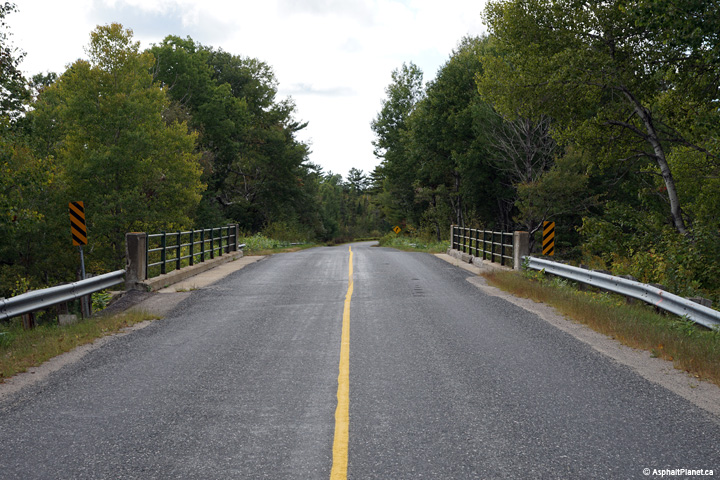
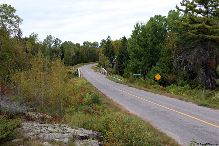
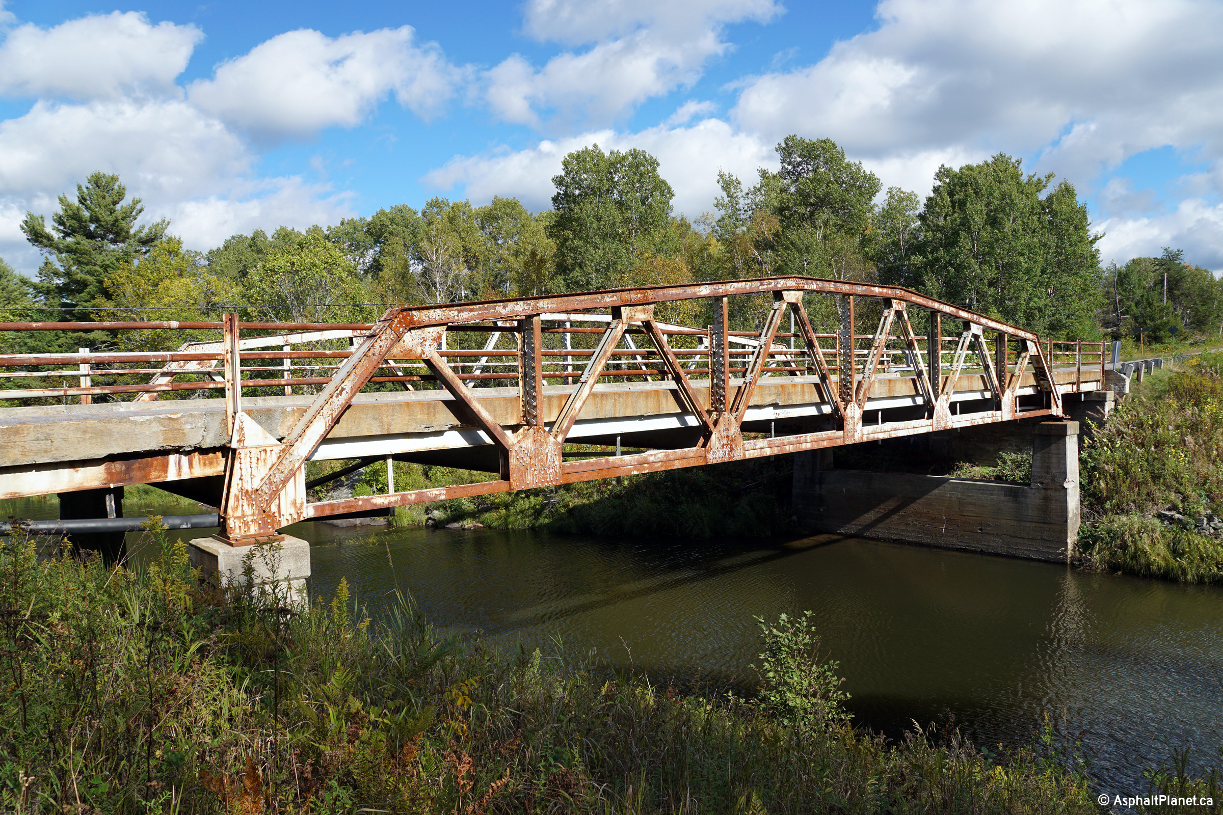
District of Parry Sound
Photo taken: September 20th, 2015.

(720x480) (1440x960) (2400x1600)
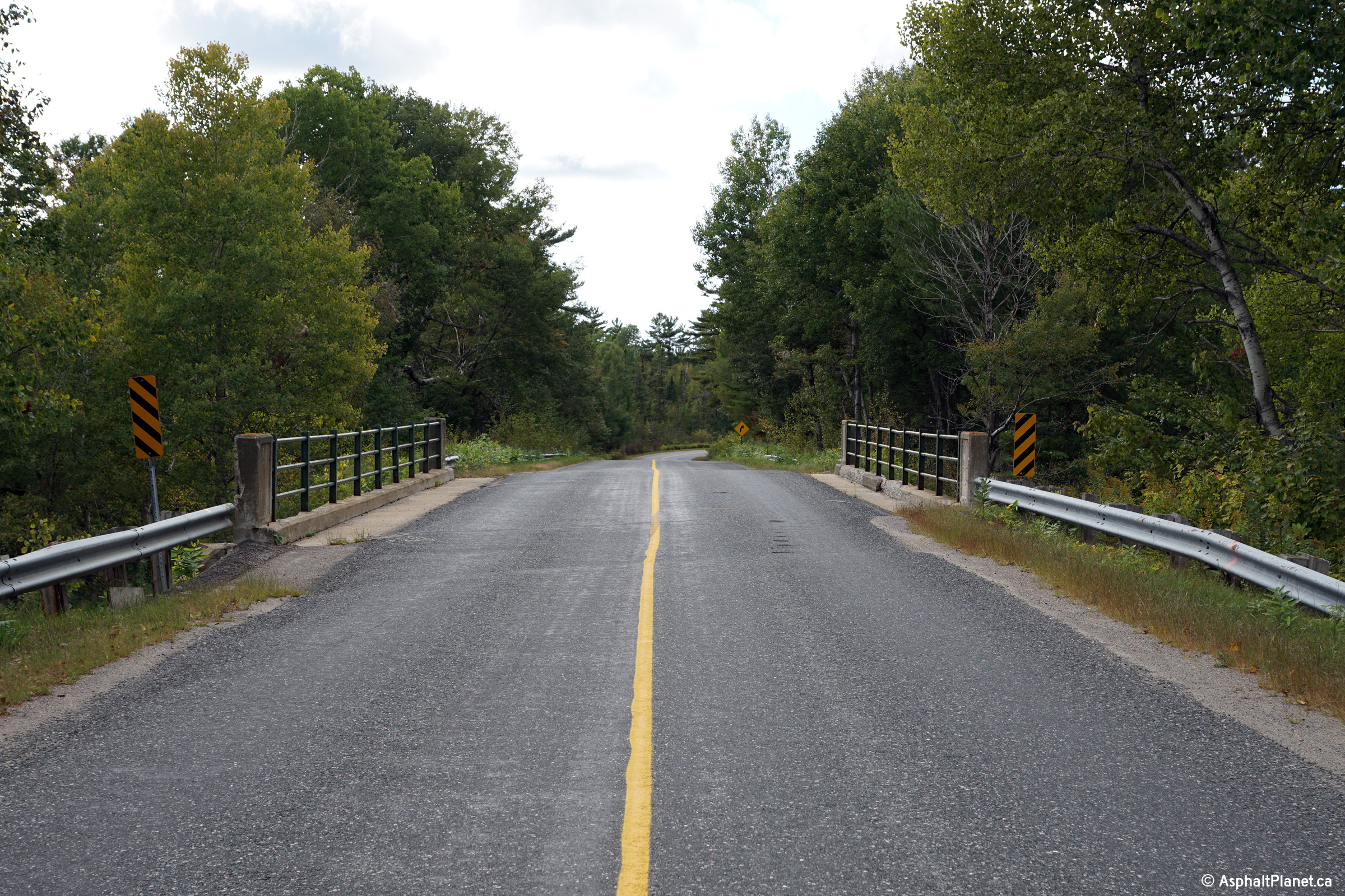
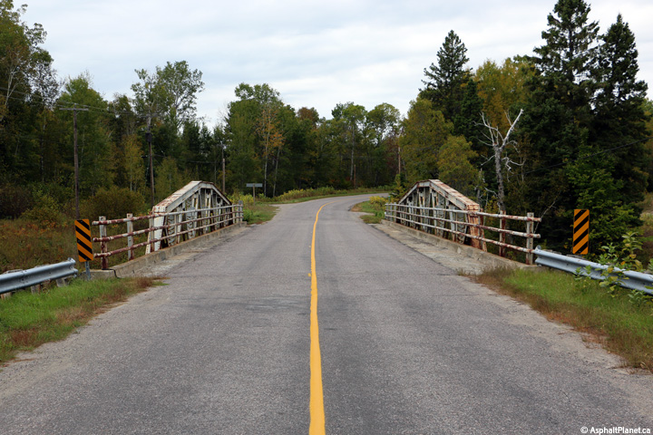
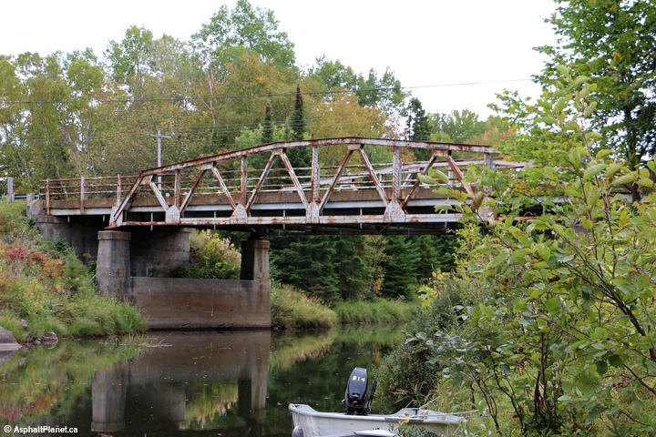
District of Parry Sound
Photo taken: September 20th, 2015.
(720x480) (1440x960) (2400x1600)
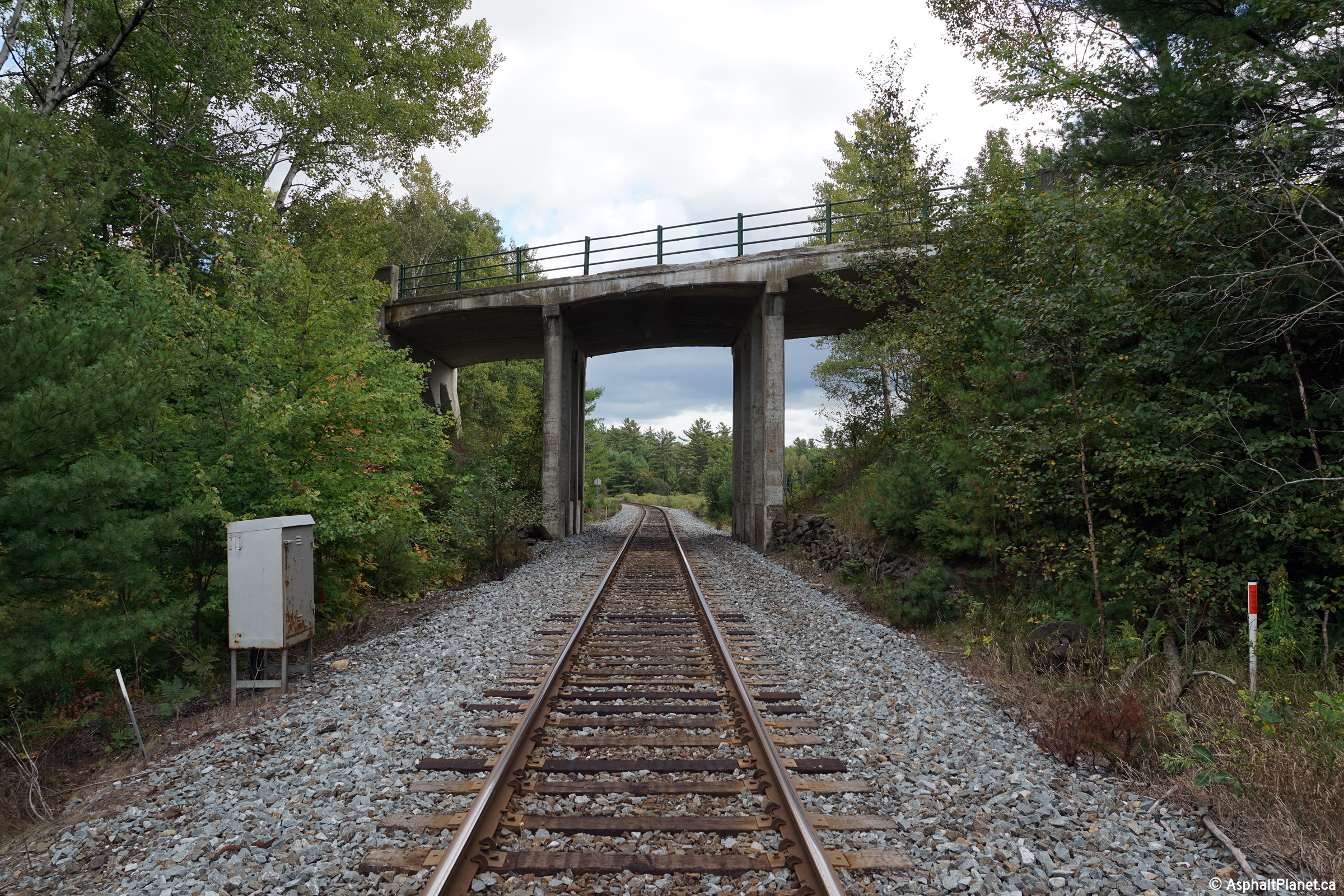
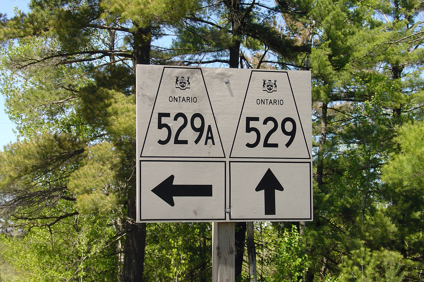
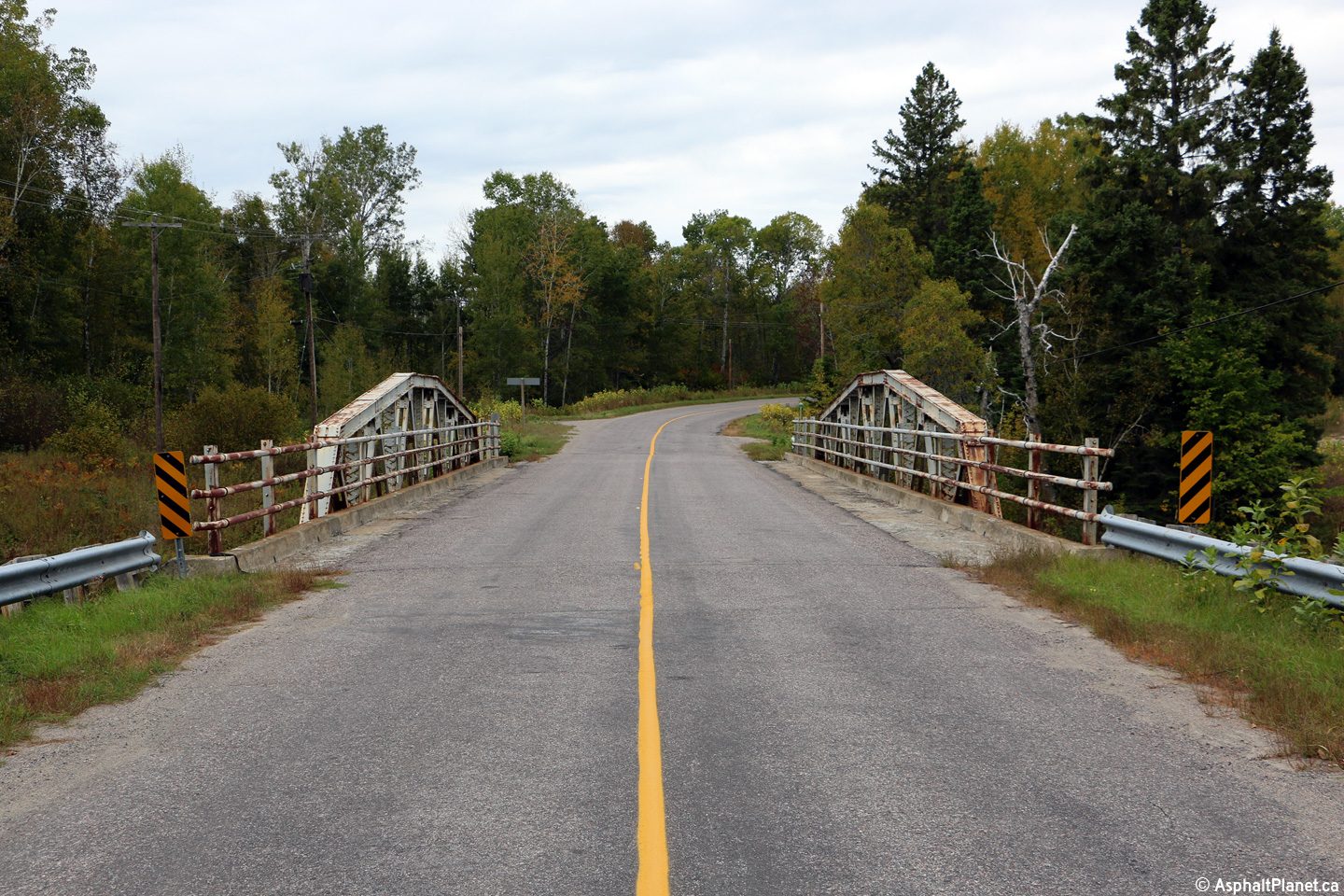
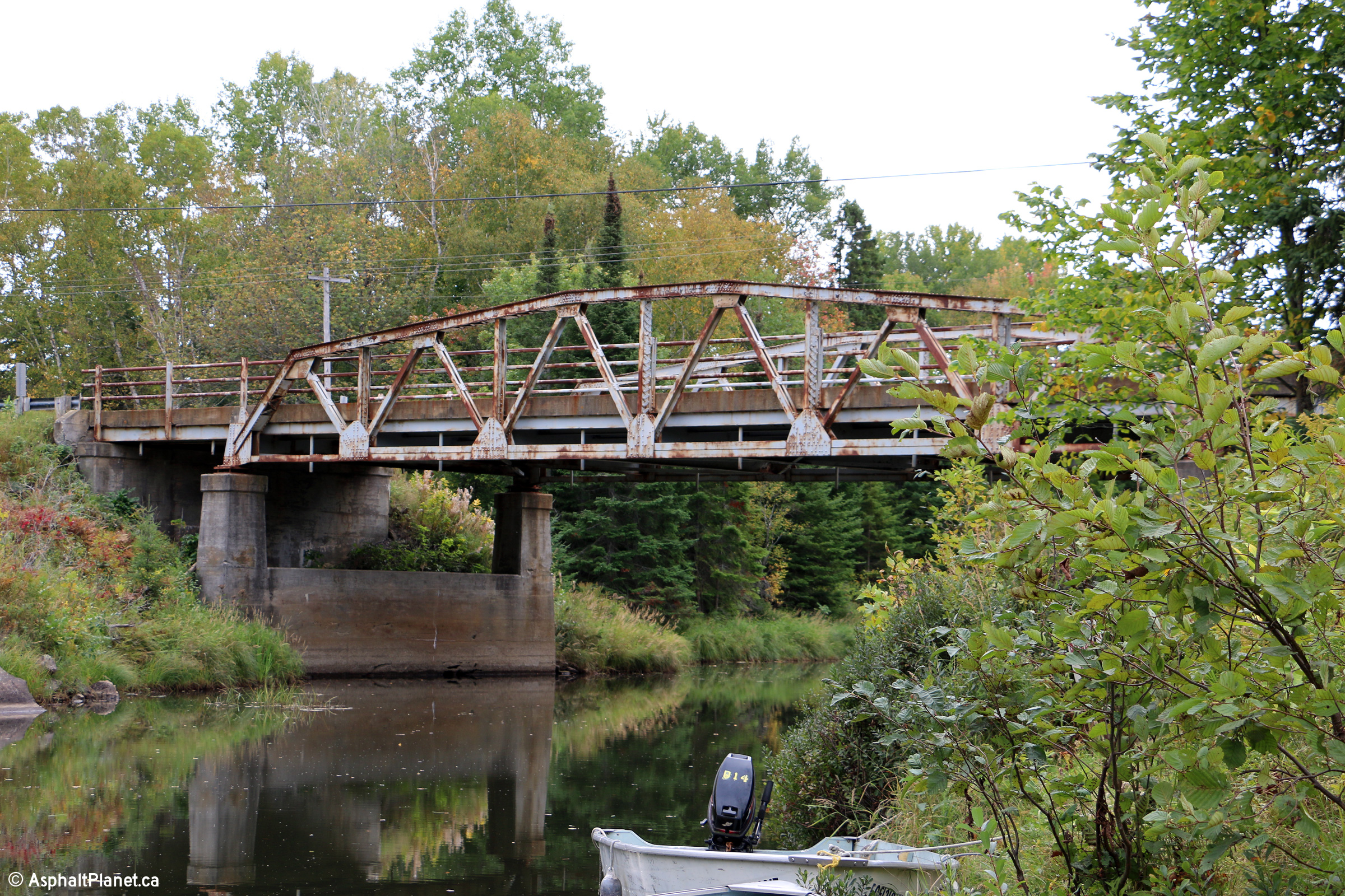
District of Parry Sound
The junction assembly for the junction of Highway 529 and Highway 529A. Highway 529A is actually the original alignment of Highway 529. It is very common for an old secondary highway alignment to recieve the 'A' suffix if a new highway alignment is constructed bypassing the spur.
Photo taken: May 29th, 2004.
 (720x480)
(1440x960)
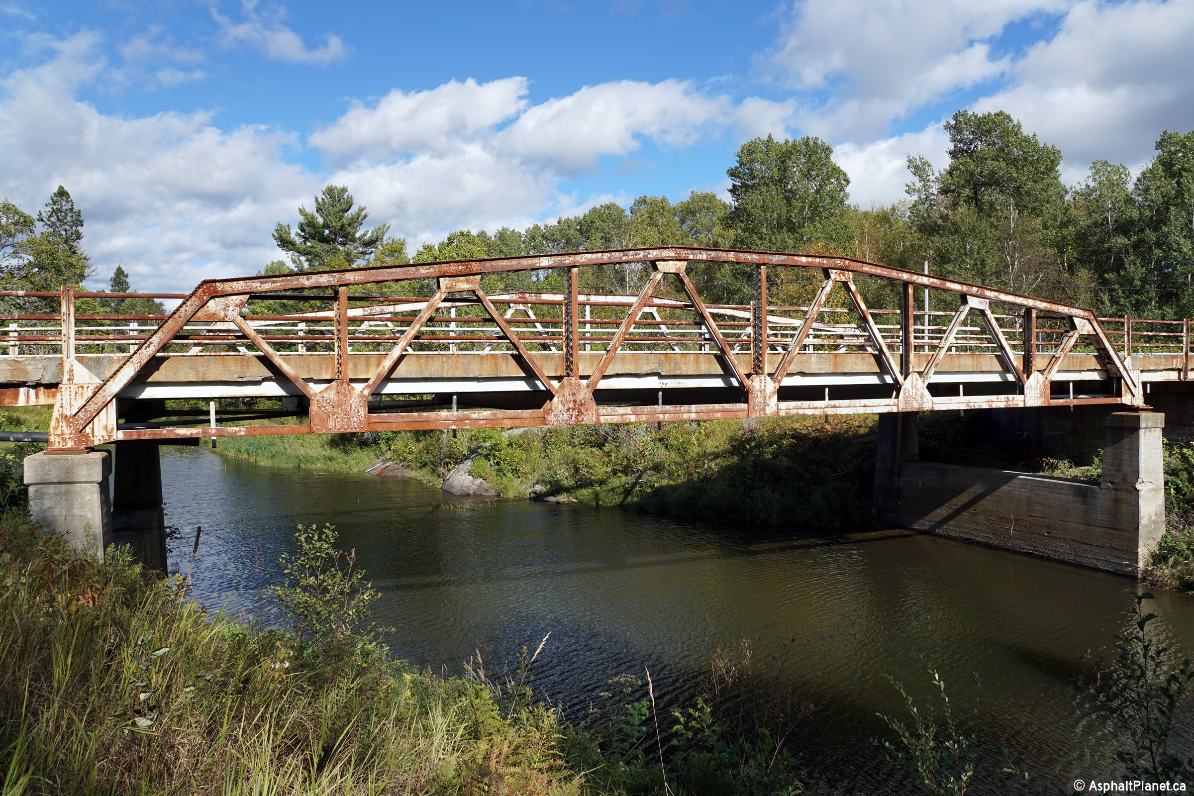
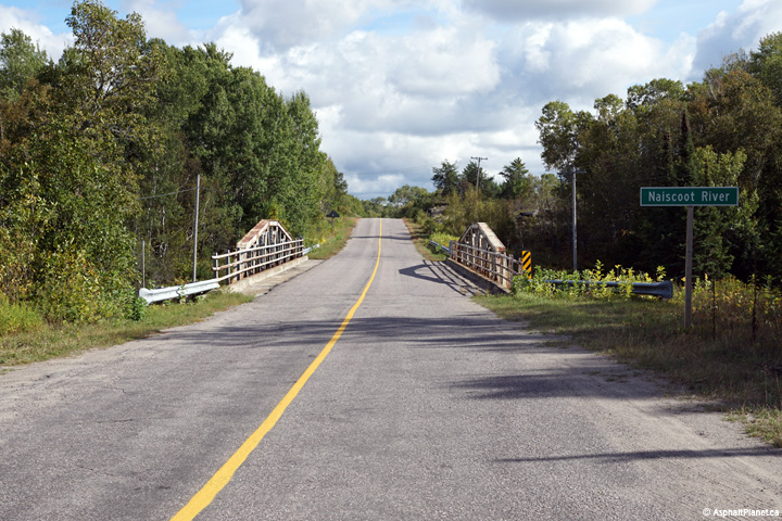
District of Parry Sound
Photo taken: September 25th, 2015.
(720x480) (1440x960) (2400x1600)
District of Parry Sound
Photo taken: September 25th, 2015.
(720x480) (1440x960) (2400x1600)
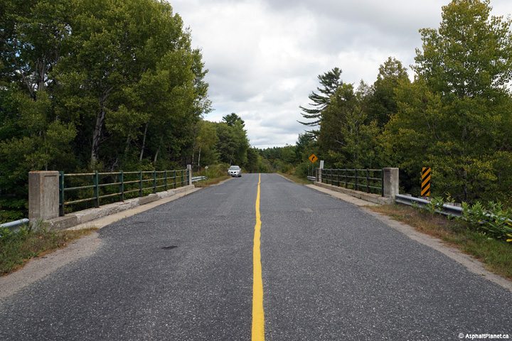
District of Parry Sound
Photos taken: September 20th, 2015.

(720x480) (1440x960) (2400x1600)

(720x480) (1440x960) (2400x1600)
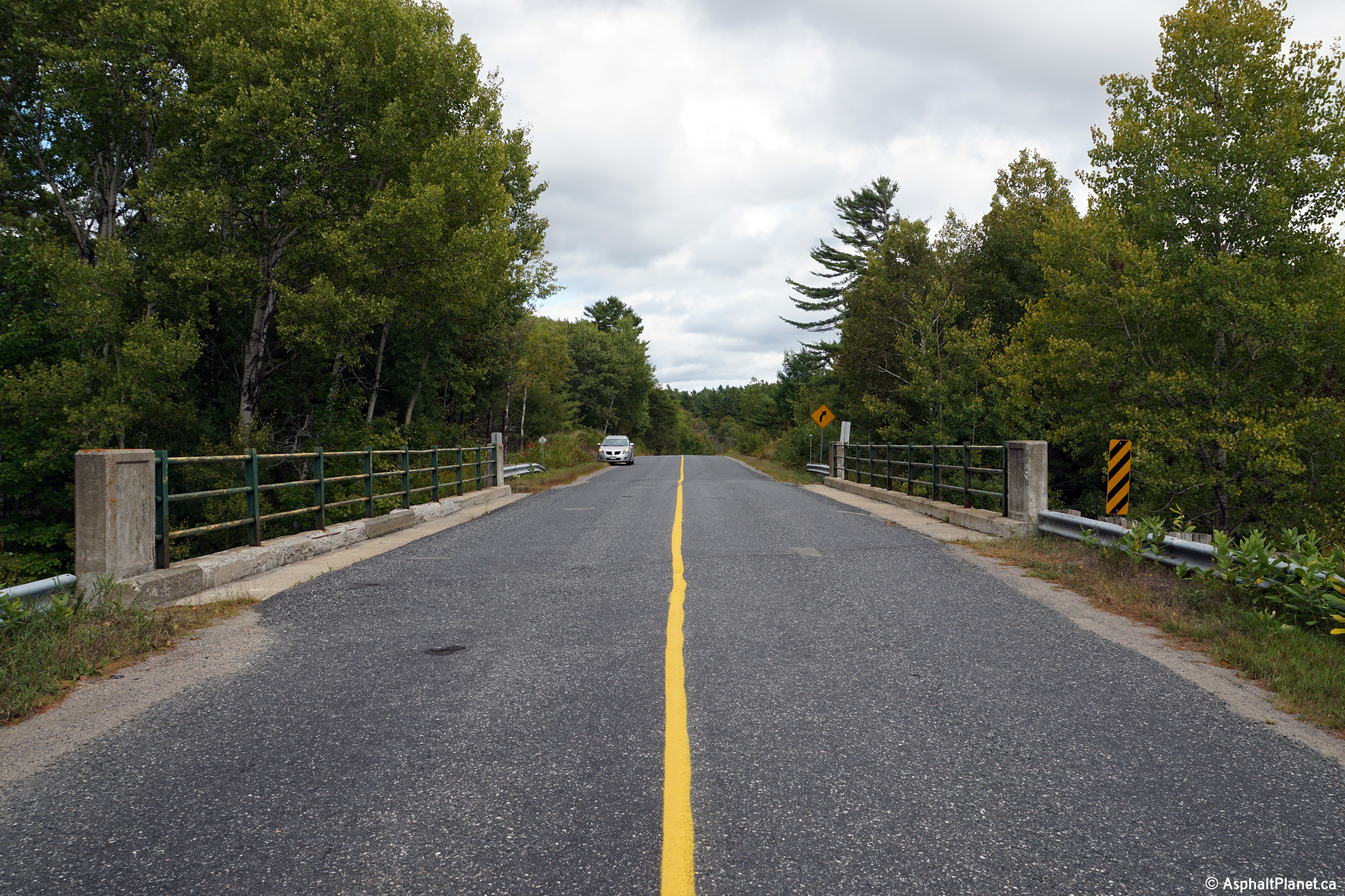
District of Parry Sound
Photo taken: September 25th, 2015.
(720x480) (1440x960) (2400x1600)
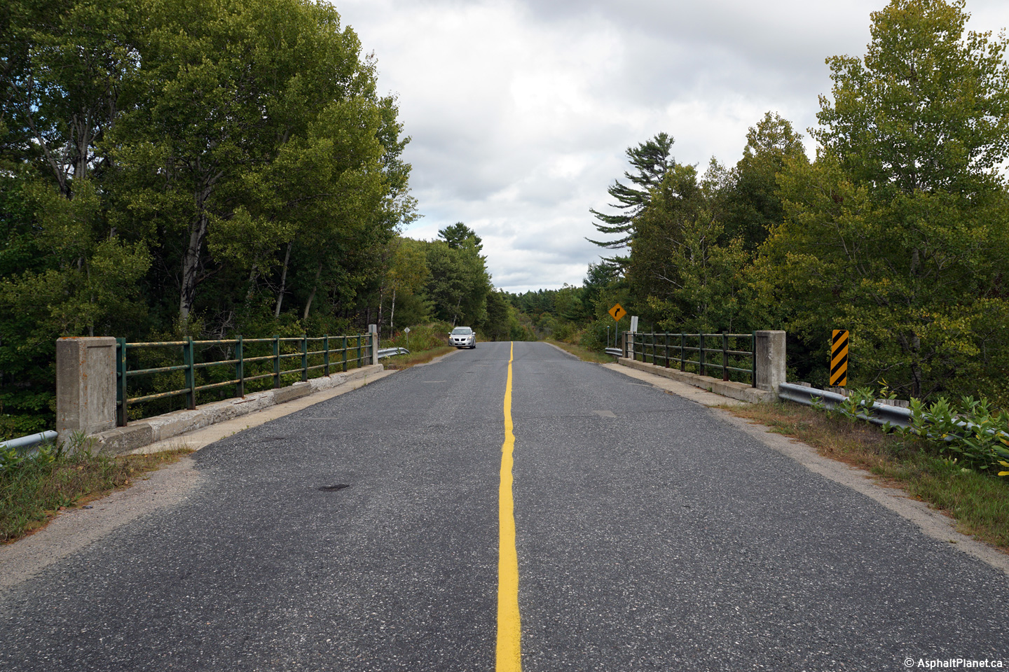
District of Parry Sound
Photo taken: September 20th, 2015.
(720x480) (1440x960) (2400x1600)
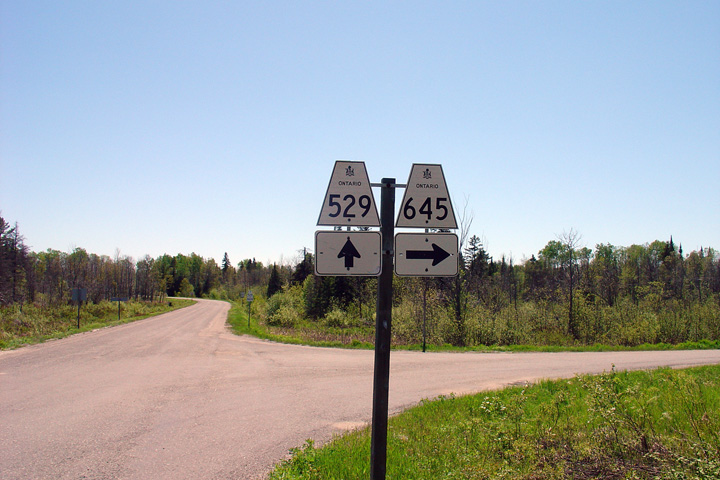
District of Parry Sound
This photo shows the junction assembly for Highway 529 and Highway 645. Highway 645 is a short spur highway that leads west from Highway 529 to Byng Inlet.
Photo taken: May 29th, 2004.
 (720x480)
(1440x960)
District of Parry Sound
This photos shows the junction assembly for the northern terminus of Highway 529 at Highway 69. This junction is located about 5 kilometres south of Britt Station.
Photo taken: May 29th, 2004.
 (720x480)
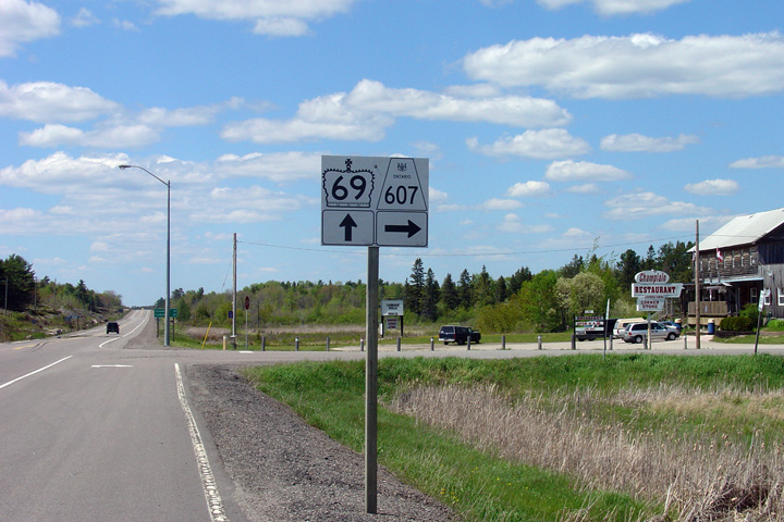
(1440x960)