|
Proper Municipality Name |
Photo Description |
Photo |
|
Photos taken
from driver's perspective appear offset from centre-line Photos: |
North-
Bound |
South-
Bound |
|
Highway 509 ends at Highway 7 just
west of Sharbot Lake.
Click here for Highway 7 images. |
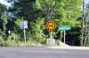
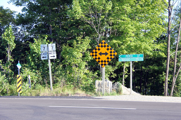
Township of Central Frontenac
County of Renfrew |
This photo looks southerly at the junction assembly at the Highway 7
intersection. Photo taken: May
30th, 2011. |
 (720
x 540) (720
x 540)
(1440x960) |
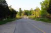
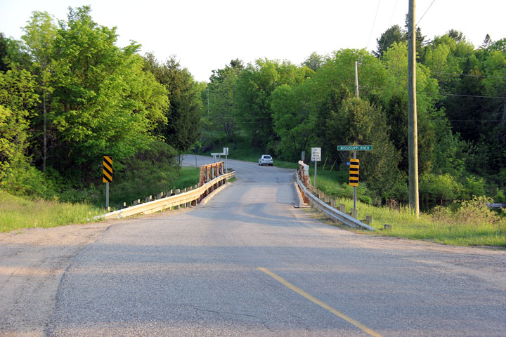
Township of North Frontenac
County of Frontenac |
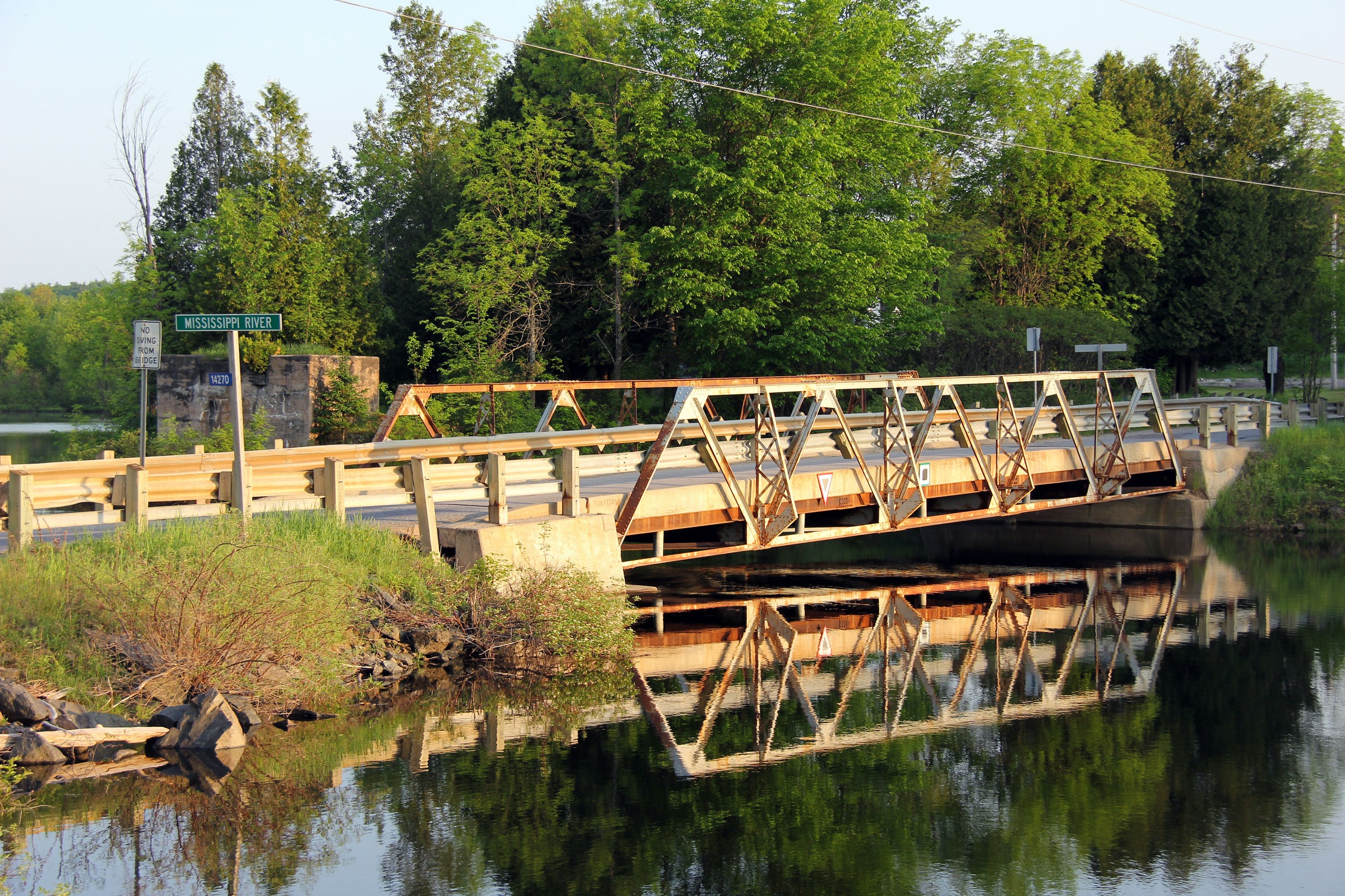
View looking northerly along Highway 509 approaching the Mississippi River
bridge. The abutment for the long abandoned Kingston and Pembroke
(K&P) Railway bridge can be seen to the right (east) of the highway.
Photo taken: May 30th, 2011. |
(720x480)
(1440x960)
(2400x1600) |
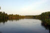
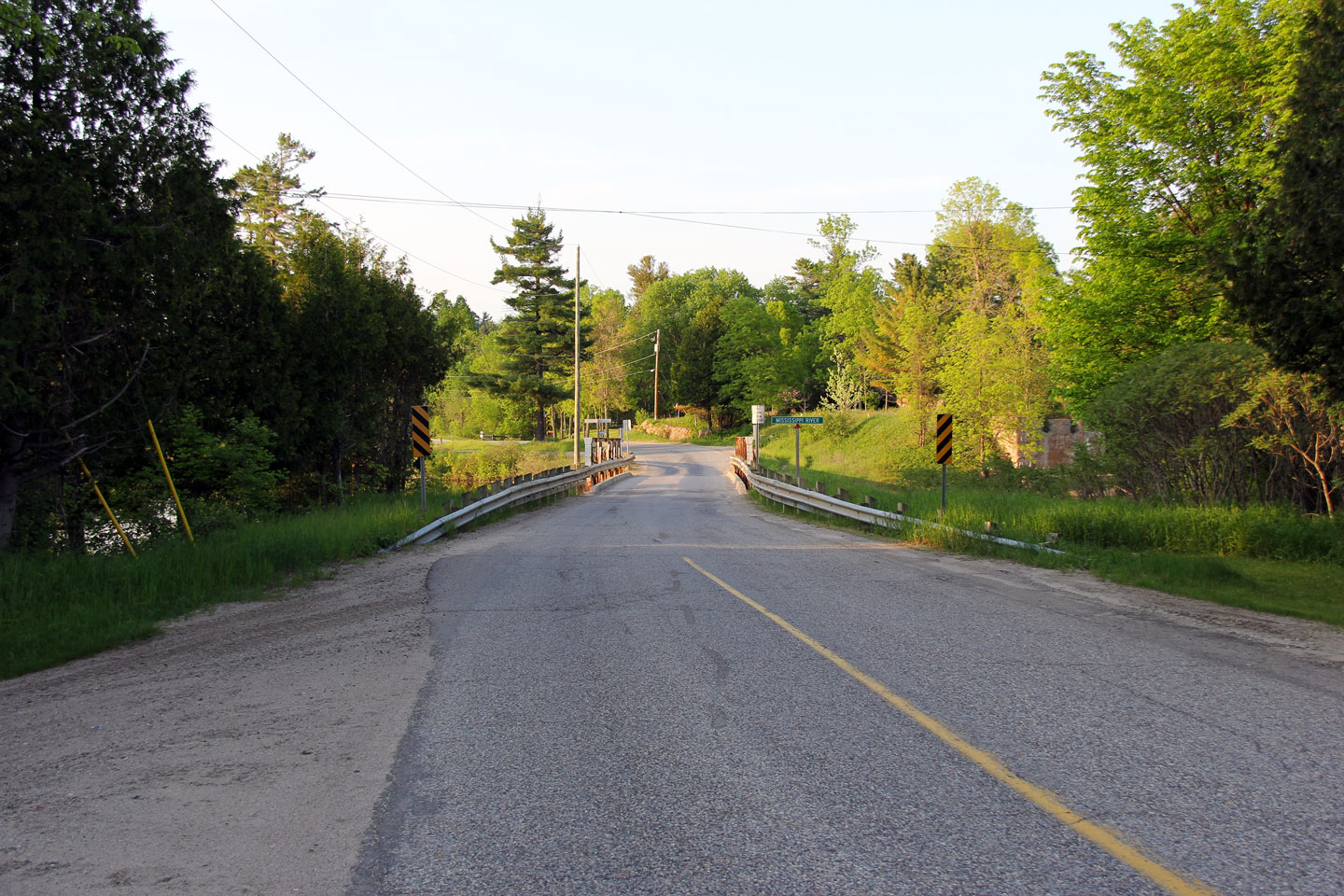
Township of North Frontenac
County of Frontenac |
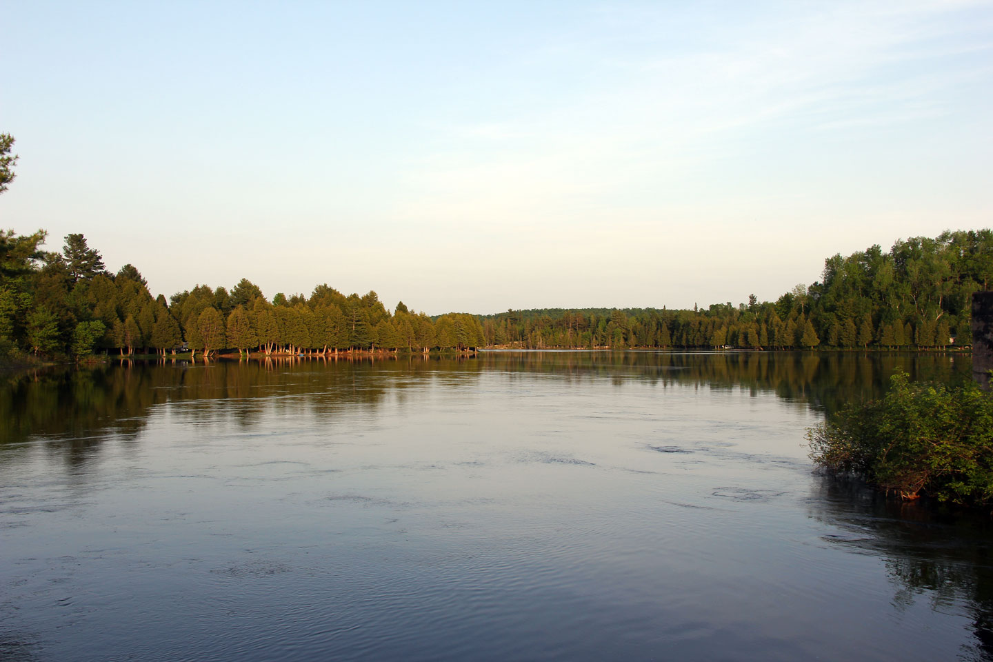
This view looks easterly along the Mississippi River from the Highway 509
crossing. Photo taken: May
30th, 2011. |
(720x480)
(1440x960)
(2400x1600) |
Township of North Frontenac
County of Frontenac |
This photo looks easterly towards the western side of the Mississippi River
bridge. The north bridge abutment looks to be slowly sinking into the
Mississippi River. Photo taken: May
30th, 2011. |

(720x480)
(1440x960)
(2400x1600) |
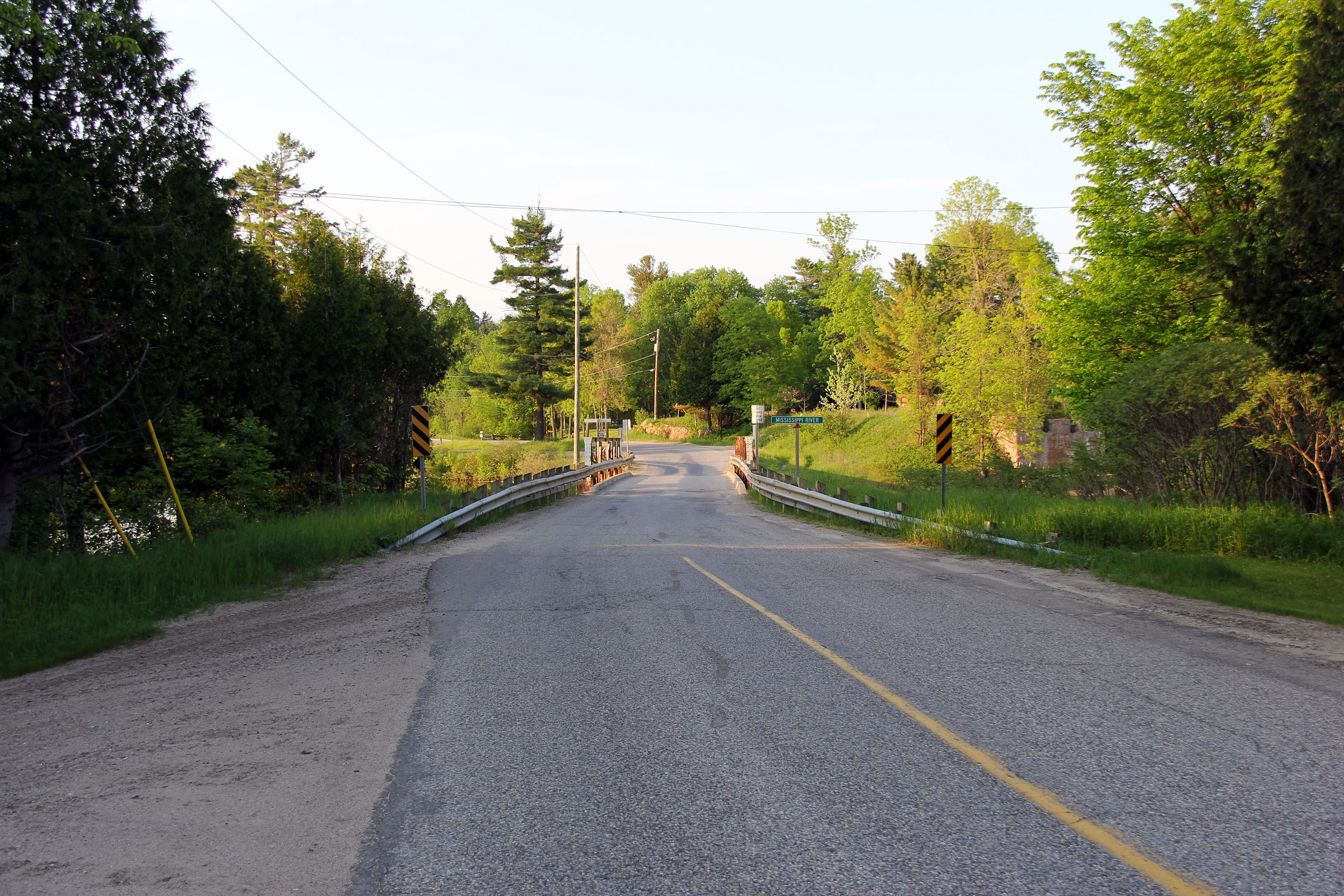
Township of North Frontenac
County of Frontenac |
Southerly view looking across the Mississippi River bridge. Photo taken: May 30th, 2011. |

(720x480)
(1440x960)
(2400x1600) |
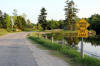
Township of North Frontenac
County of Frontenac |
View looking southerly towards the warning sign advising traffic of the
single lane Mississippi River bridge ahead. Photo taken: May
30th, 2011. |
(720x480)
(1440x960)
(2400x1600) |
 (720
x 540)
(720
x 540)


