Secondary Highway
639 - www.OntHighways.com
Highway 639 is a short highway that
connects Elliot Lake (via Highway 108 to the south) to Highway 546. The
highway passes through a rather desolate and mountainous section of the
province. Despite this, Highway 639 is actually in pretty good shape for
its entire length.
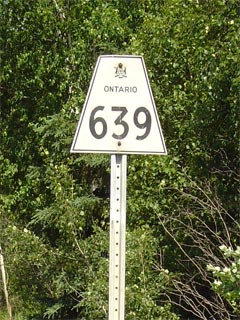
Secondary Highway 639 Shield.
|
|
Southern Terminus:
Where Highway 639 transitions into Highway 108 north of Elliot Lake Northern Terminus:
Junction Highway 546 west of Mount Lake
Length: 23.3km
Multiplexes: None
Freeway: No
AADT (2002):
160, for the entire length of Highway 639
Road Info: Highway 639 is in good condition for its entire
length, especially given how lightly traveled the highway is.
For its entire length, Highway 639 is part of Ontario's Deer Route, and has
a posted speed limit of 80km/h. |
Communities and Intersections along and Highway 639 from South to North:
|
Proper
Municipality Name |
Community Name |
Distance |
Intersecting
Road |
| District of Algoma |
----- |
0 km / 23.3 km |
King's Highway 108 |
| District of Algoma |
----- |
11.1 km / 12.2 km |
Mississagi Park Road |
| District of Algoma |
----- |
23.3 km / 0 km |
Secondary Highway 546 |
|
Highway 639 Ends |
<-
Highway 638
www.OntHighways.com -
Home
Highway 640 ->
Copyright (c) 2004-2010, Scott Steeves (Webmaster)
scott@asphaltplanet.ca
Page last updated: July 12th, 2010
Page created: September 1st, 2005