Secondary
Highway 538 - Secondary.OntHighways.com
Highway 538 is a short and desolate
secondary highway that runs a short distance south of Highway 17 for its entire
length. Highway 538 is actually a former alignment of Highway 17. It
was bypassed due to several sharp corners, an at-grade rail crossing, and a rail
overhead that has both poor sightlines and a low overhead clearance.
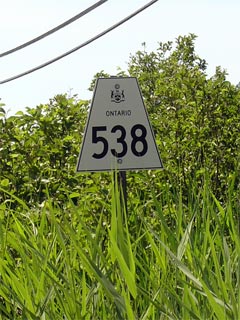
Secondary Highway 538 Shield
|
|
Western Terminus:
Junction Highway 17 in Algoma Mills
Eastern Terminus: Junction Highway 17 west of Spragge
Length: 5.6km
Multiplexes: None
Orientation: East-West
Regions
Served: Algoma District
AADT (2002):
Highest: 200, from Highway 17 (West Junction) easterly to Miranda
Boulevard;
Lowest: 70, from Miranda Boulevard easterly to Highway 17 (East
Junction).
Road Info: Highway 538 is in
reasonable condition for its entire length. It is covered with
lose-top pavement, and is very lightly traveled. The highway has a
posted speed limit of 80km/h, though there are several places where the road
cannot be safely negotiated at that speed. |
Communities and Intersections along and Highway 538 from West to East:
|
Proper
Municipality Name |
Community Name |
Distance |
Intersecting
Road |
| Township of the North Shore |
Algoma Mines |
0 km / 5.6 km |
King's Highway 17 (West Junction) |
| Township of the North Shore |
|
0.9 km / 4.7 km |
Miranda Boulevard |
| Township of the North Shore |
|
5.6 km / 0 km |
Kings Highway 17 (East Junction) |
|
Highway 538 Ends |
Highway 538 - Images
Secondary.OntHighways.com - Home
www.OntHighways.com - Home
Copyright (c) 2004-2007, Scott Steeves (Webmaster)
webmaster@onthighways.com
Page last updated: July 31st, 2006
Page created: September 26th, 2005