|
Proper Municipality Name |
Photo Description |
Photo |
|
Pictures taken
from driver's perspective appear offset from centre-line pictures: |
East-
Bound |
West-
Bound |
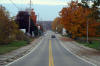
Township of Rideau Lakes
County of Leeds & Grenville |
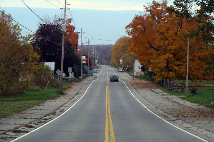
Easterly view along Highway 42 through Philipsville. Highway 42 runs
through (in my opinion) a forgotten part of Ontario.
Photo taken: October 13th, 2008. |
Low Res
High Res |
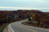
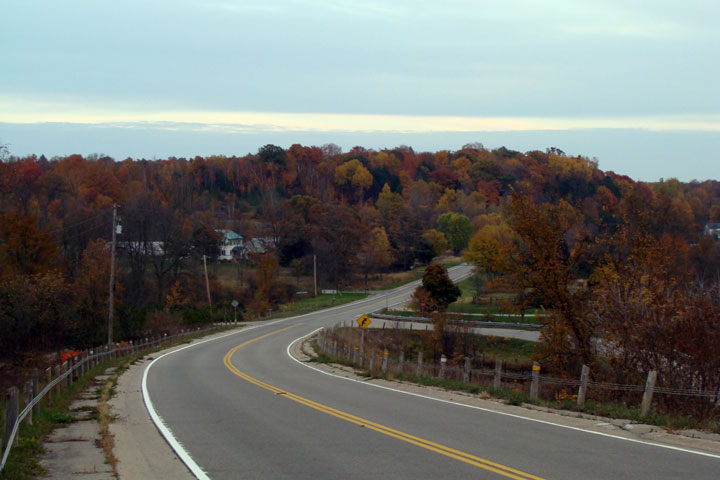
Township of Rideau Lakes
County of Leeds & Grenville |
Scenic view of Highway 42 as it meanders through the autumn coloured hills
east of Philipsville.
Photo taken: October 13th, 2008. |
Low Res
High Res |
|
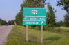
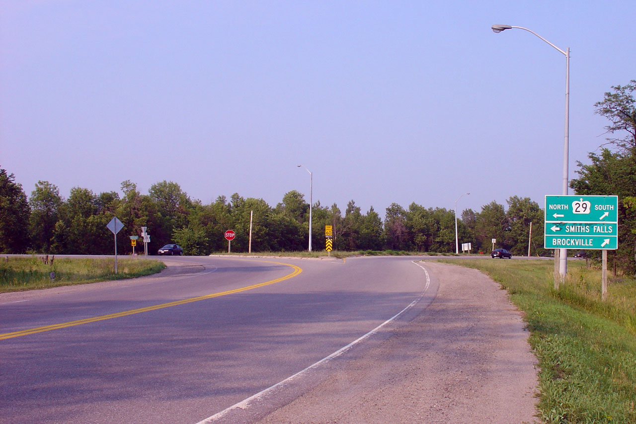
Township of Elizabethtown -
Kitley County of Leeds & Grenville |
Advanced green signage for the Highway 29 junction. Photo taken: July 4th,
2005. |
 |
|
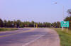
Township of Elizabethtown -
Kitley County of Leeds & Grenville |
The eastern end of the former Highway 42 is found at Highway 42 north of
Brockville. Note yet another green sign for Highway 29. Photograph
taken: July 4th, 2005. |
Low Res
High Res |
|
Highway 42 ends at Highway 29.
Highway 29 leads either to Brockville or Smiths Falls.
Click here for Highway 29 images. |

