AsphaltPlanet.ca > OntHighways >
Highway 35A > Images
King's Highway 35A - Images
Photos shown in this table are arranged from West to East:
|
Proper Municipality Name |
Photo Description
|
Photo
|
|
Pictures taken
from driver's perspective appear offset from centre-line pictures: |
East-
Bound
|
West-
Bound
|
|
Highway 35 is the major
north-south thoroughfare through the city of Kawartha Lakes and beyond.
Click here for Highway 35 images. |
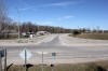
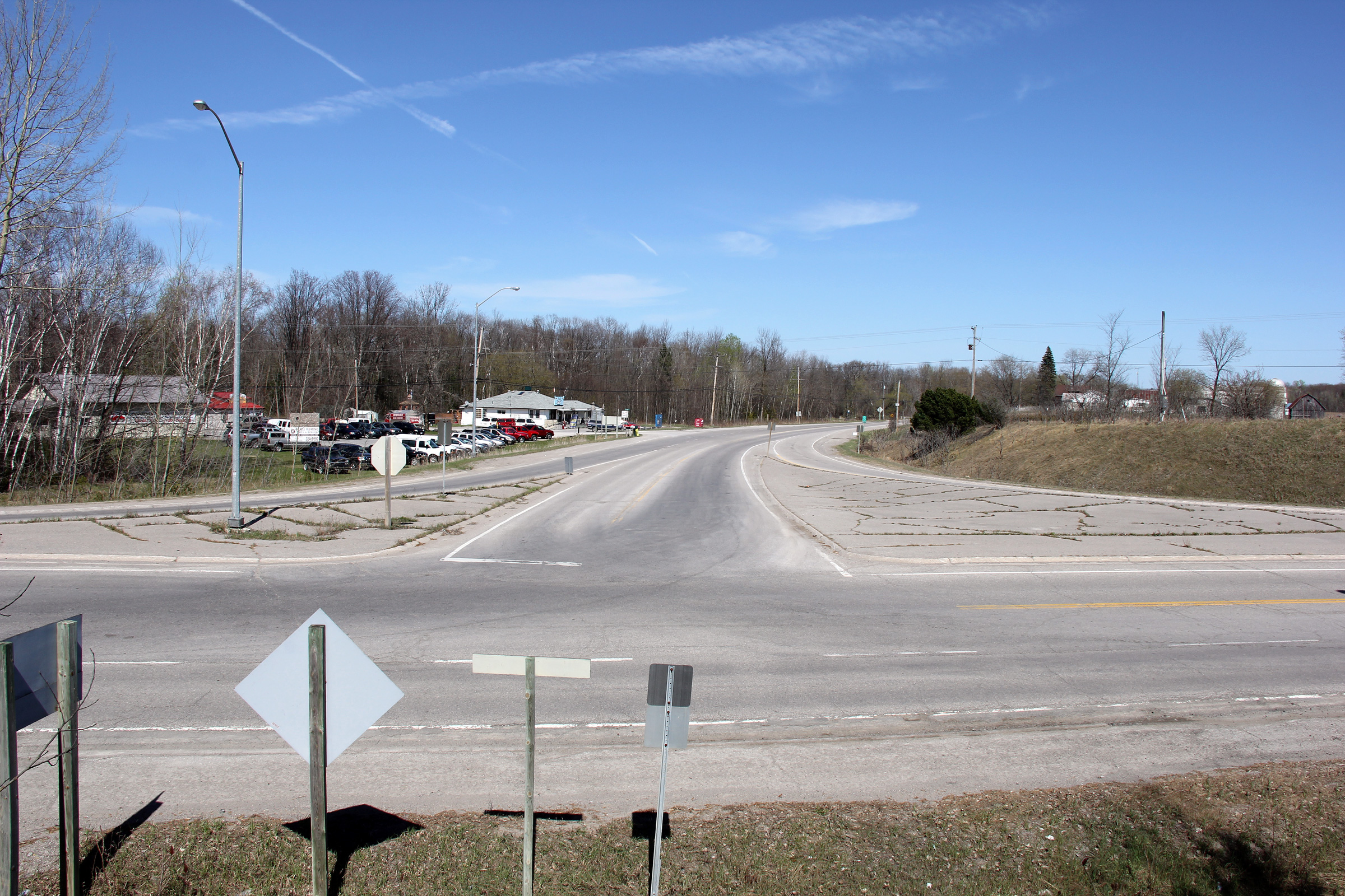
| City of Kawartha Lakes |
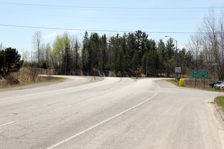
This view looks easterly along Highway 35A from
the Highway 35 junction. Typical of rural highway junctions in
Ontario, there are right turn channels between both directions of Highway 35
and Highway 35A.
Photo taken: April 18th, 2012. |
(720x480)
(1440x960)
(2400x1600) |
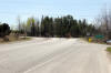
| City of Kawartha Lakes |
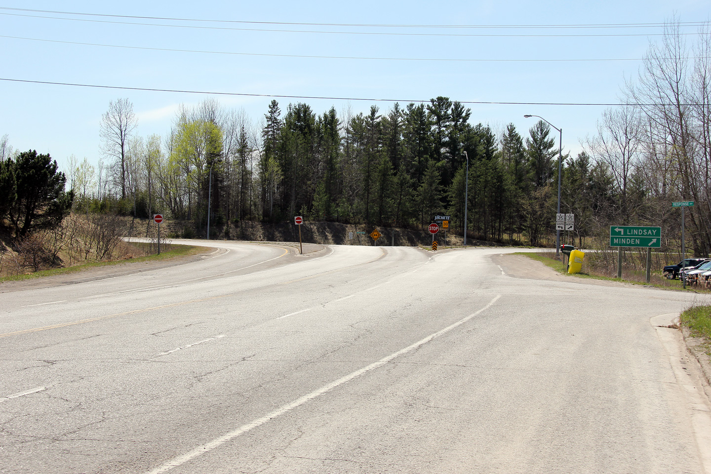
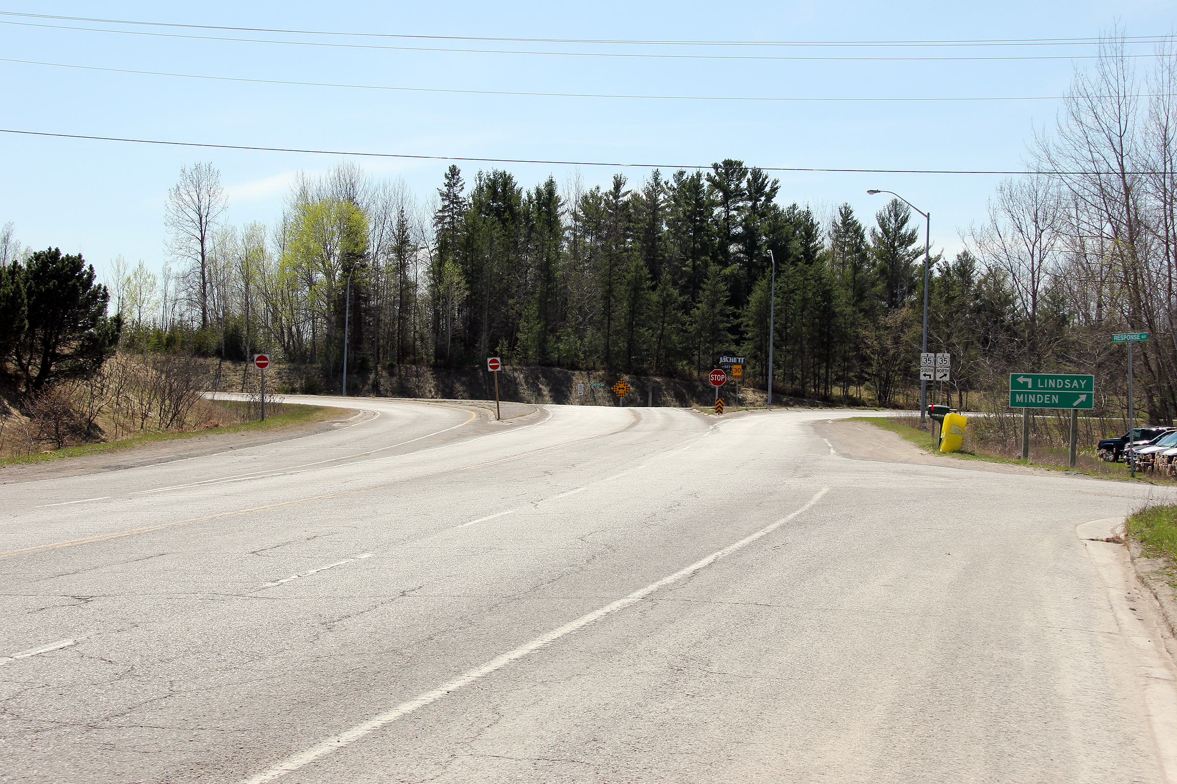
View looking westerly approaching the Highway 35
intersection.
Photo taken: April 18th, 2012. |
(720x480)
(1440x960)
(2400x1600) |
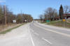
| City of Kawartha Lakes |
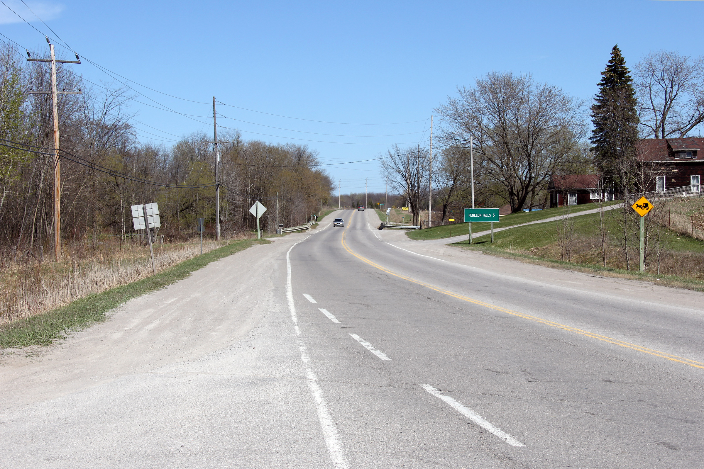
Looking easterly from Highway 35 towards Fenelon
Falls. Note the oversized distance sign for Fenelon Falls.
Photo taken: April 18th, 2012. |
(720x480)
(1440x960)
(2400x1600) |
<-
Highway 35 Images
Back to Highway 35A
Highway 35B Images ->
www.OntHighways.com - Home
Copyright (c) 2004-2013, Scott Steeves (Webmaster)
scott@asphaltplanet.ca

