|
Proper Municipality Name |
Photo Description |
Photo |
|
Pictures taken
from driver's perspective appear offset from centre-line pictures: |
East-
bound |
West-
bound |
|
Continued from
Toronto to Kingston Images |
| Gananoque - Leeds & The Thousand
Islands Boundary United Counties of Leeds & Grenville |
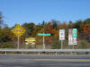
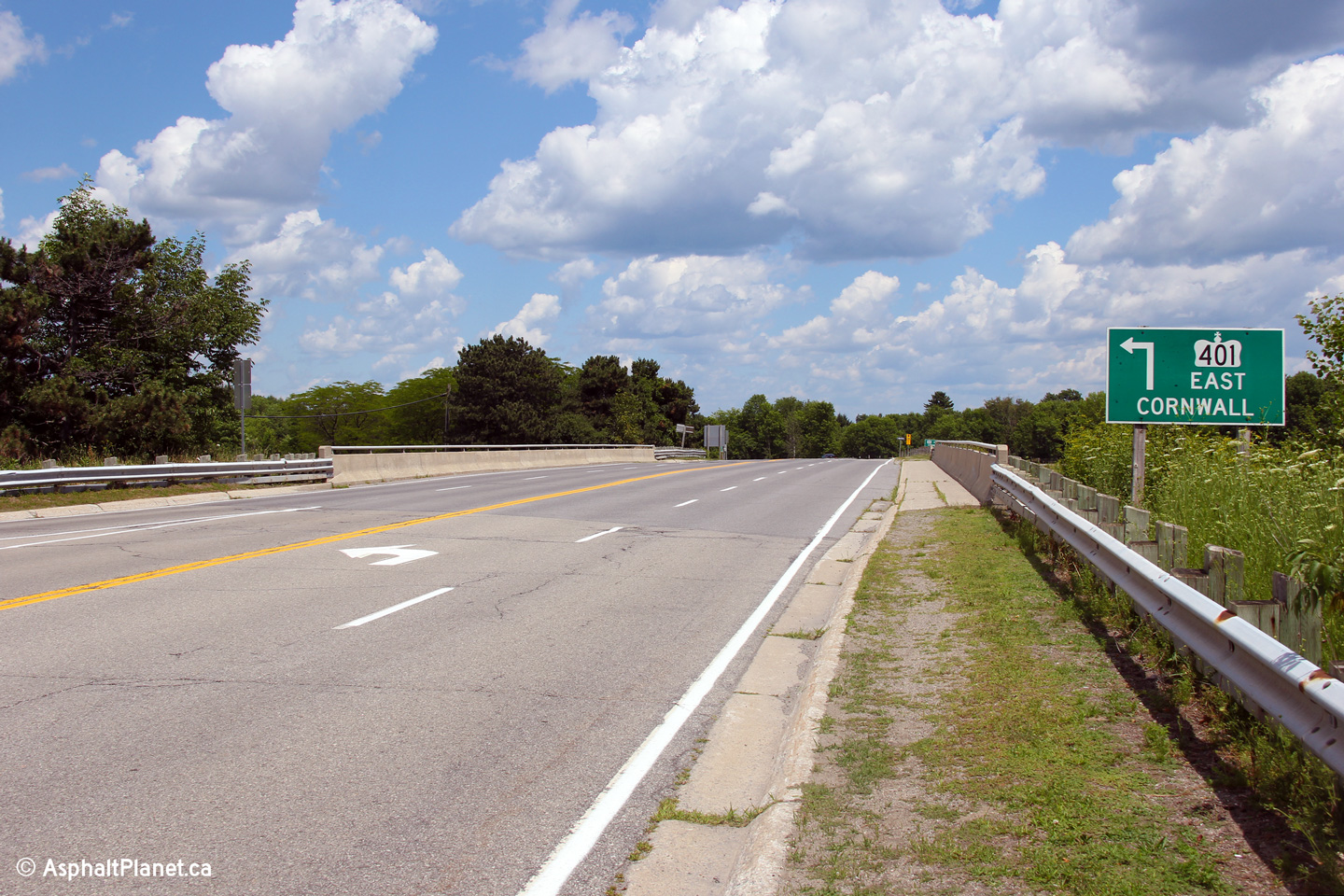
This picture is looking east from Highway 2's current western terminus at
the Eastern Boundary of Gananoque. This picture shows Highway 2's
interchange with the Thousand Islands Parkway. Before September 1967,
this interchange was actually part of Highway 401. In September 1967,
the Highway 401-Thousand Islands Bypass opened a few kilometres to the
north.
Picture taken: October 22nd, 2004. Size: 50kb. |
 |
| Township of Leeds & The Thousand
Islands United Counties of Leeds & Grenville |
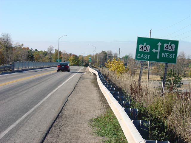
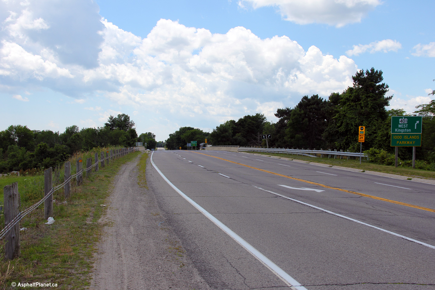
Highway 2 looking west at the Thousand Islands Bridge interchange. The
Thousand Islands Parkway meets highway 2 at a standard diamond style
interchange. Notice the vintage railings on the original Highway 401
overpass. This style of railing was very common on Highway 401
overpasses constructed during the 1950s and 60s.
Picture taken: October 22nd, 2004. Size: 45kb. |
 |
| Township of Leeds & The Thousand
Islands United Counties of Leeds & Grenville |
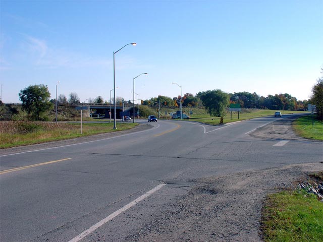
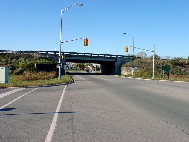
Highway 2 looking west from the Highway 401 overpass. The Highway 401
overpass is located about a kilometre northeast of the Thousand Islands
Parkway Interchange. This picture showcases most of active Highway 2.
Picture taken: October 22nd, 2004. Size: 65kb. |
 |
| Township of Leeds & The Thousand
Islands United Counties of Leeds & Grenville |
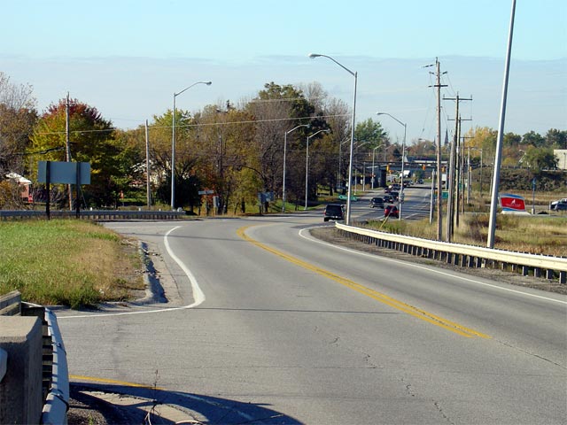
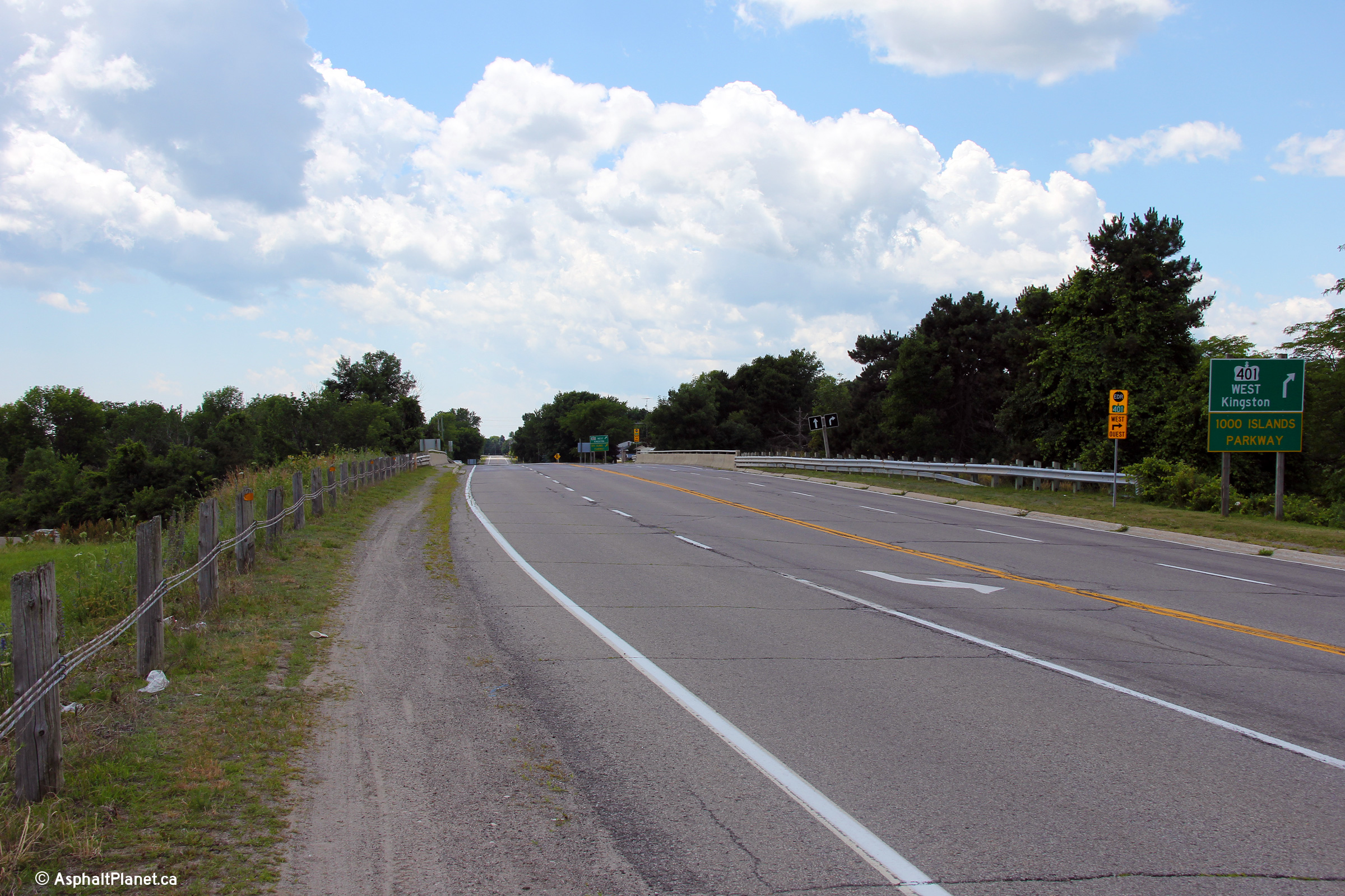
Highway 2 looking west across the Highway 401 overpass. As the Highway
401 diagramical sign indicates, Highway 401 meets Highway 2 with only a
partial diamond interchange on the eastern side of the structure.
Traffic bound for westbound Highway 401 (and vice versa) is directed onto
the Thousand Islands Parkway, which is located a short distance ahead.
Picture taken: October 22nd, 2004. Size: 65kb. |
 |
| Township of Leeds & The Thousand
Islands United Counties of Leeds & Grenville |
Sign assembly located at the ramp terminus of
the WB Off ramp for Highway 2. Notice that this signage is located at
the current eastern terminus of Highway 2. Also notice that the
Heritage Highway only continues west of Highway 401. Contrary to
popular belief, the the Heritage Highway follows the Thousand Islands
Parkway in this area, not Highway 2.
Picture size: 110kb. |
 |
| Township of Front of Yonge
United Counties of Leeds & Grenville |
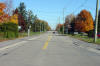
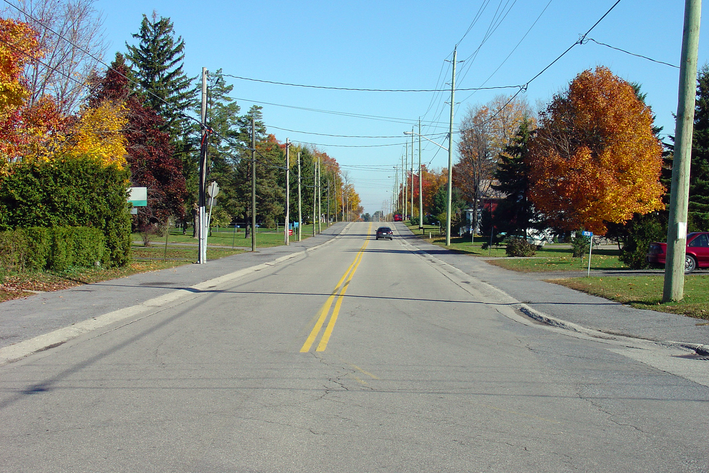
Highway 2 looking through the small community of Mallorytown. This
picture is looking east from the Mallorytown Road intersection.
Mallorytown is a small community and is located roughly 30km east of
Gananoque.
Picture taken: October 22nd, 2004. Size: 75kb. |
Low-res
High-res |
| Township of Elizabethown - Kitley
United Counties of Leeds & Grenville |
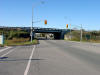
Easterly view along Highway 2 at the Highway 401 interchange west of
Brockville.
Photo taken: July 2nd, 2012. |
(720x480)
(1440x960)
(2400x1600) |
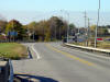
| Township of Elizabethown - Kitley
United Counties of Leeds & Grenville |
Westerly view overtop of the Highway 401 interchange west of Brockville.
Photo taken: July 2nd, 2012. |

(720x480)
(1440x960)
(2400x1600) |
| Township of Elizabethown - Kitley
United Counties of Leeds & Grenville |
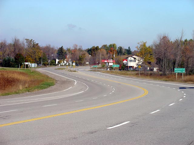
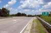
Highway 2 looking east from the Highway 401 interchange (at kilometre 687).
This picture showcases the western start of the 1930s-era Divided Highway
that runs from here easterly to Brockville. These type of early
divided highways can still be found at many entrances to larger Ontario
Centres, and represent some of the first examples of divided highways in
Ontario.
Picture taken: October 22nd, 2004. Size: 50kb. |
 |


