|
Proper Municipality Name |
Photo Description |
Photo |
|
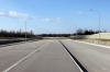
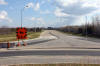
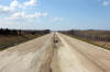
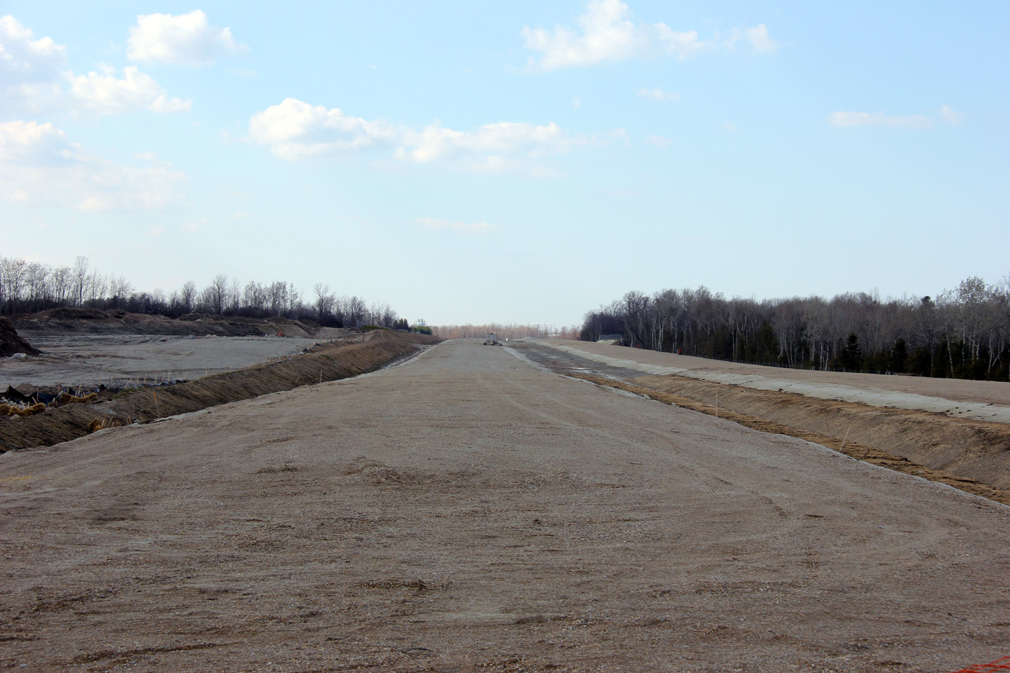
Town of Collingwood County of Simcoe |
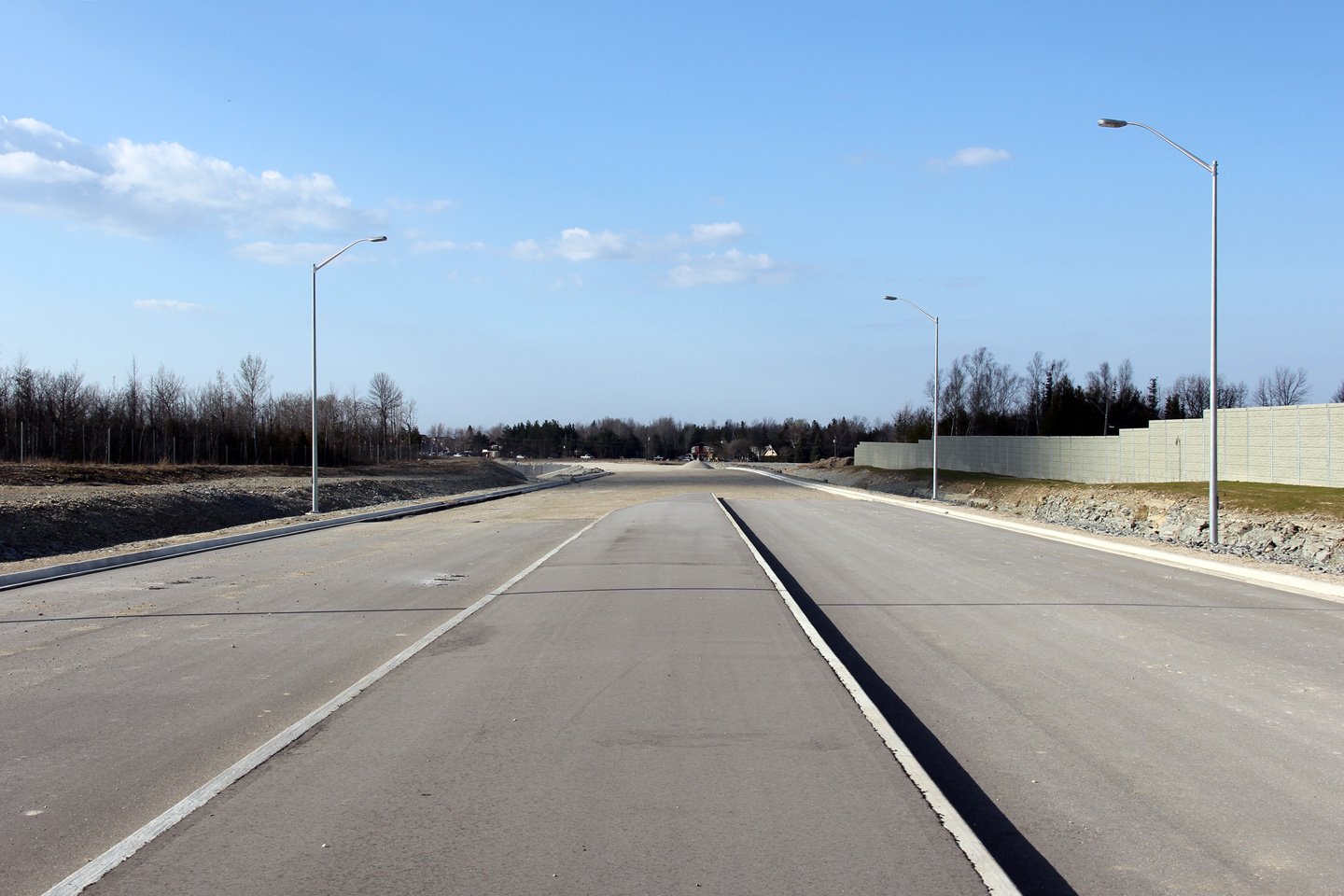
Westerly view along Highway 26-New as it approaches the existing Highway 26.
If you look closely (particularly in the high resolution photos) you can see
vehicles traveling easterly along the current highway.
Photo taken: March 19th, 2012. |
(720x480)
(1440x960)
(2400x1600) |
|
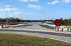
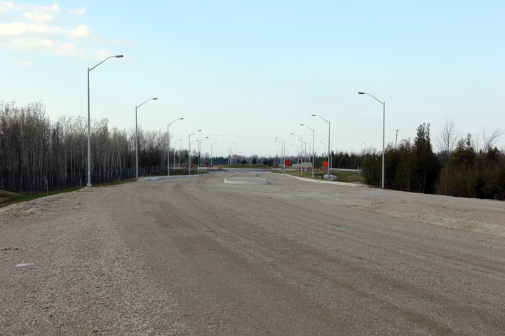
Town of Collingwood County of Simcoe |
View looking easterly (south on the compass) towards the Poplar Sideroad
roundabout.
Photos taken: August 27th, 2011. |
(720x480)
(1440x960)
(2400x1600) |
|
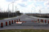
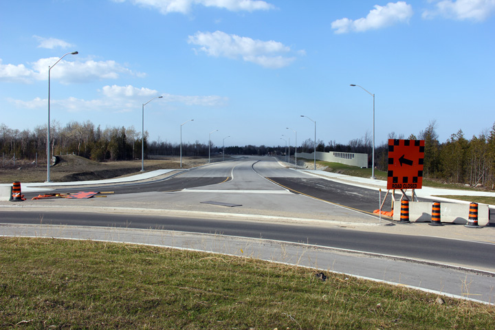
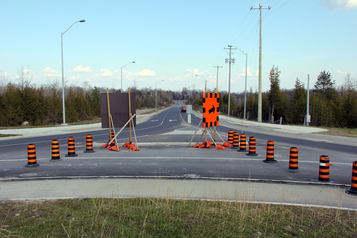
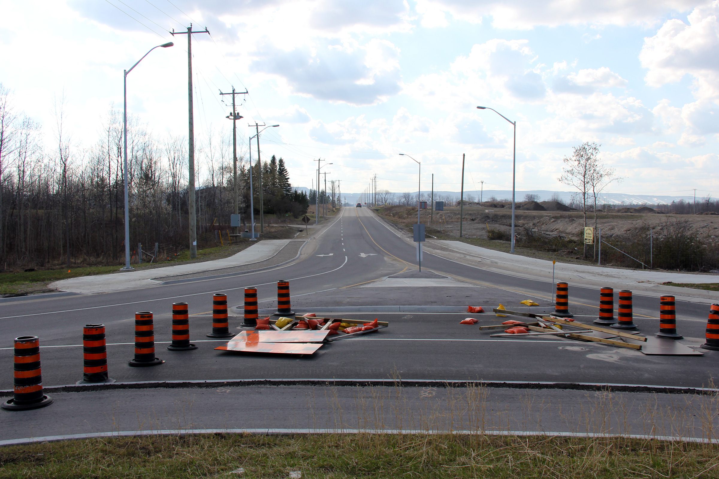
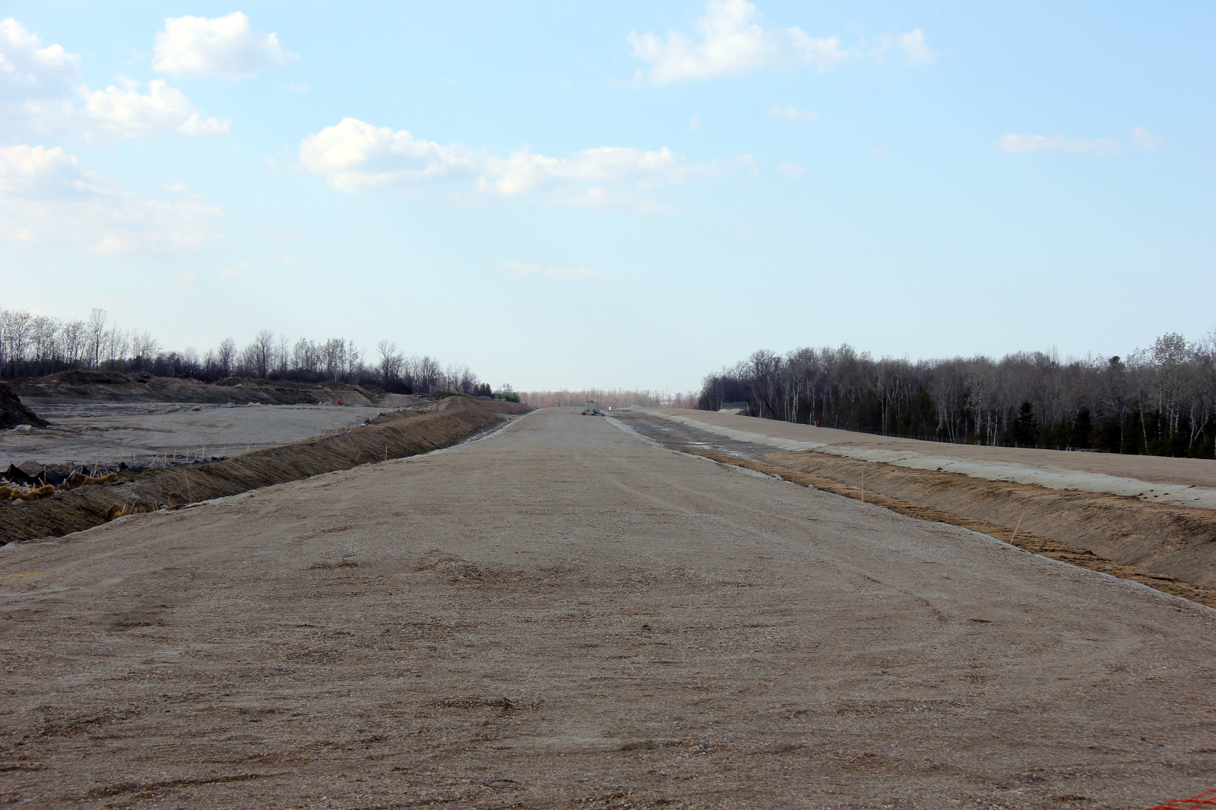
Town of Collingwood County of Simcoe |
Westerly view along the future Highway 26 (view looks north on the compass)
from the Poplar Sideroad roundabout. When this photo, and all
subsequent photos were taken, Poplar Sideroad traffic was using the
completed roundabout with all access to Highway 26-New blocked off.
Photo taken: March 19th, 2012. |
(720x480)
(1440x960)
(2400x1600) |
|
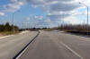
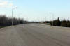
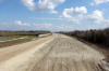
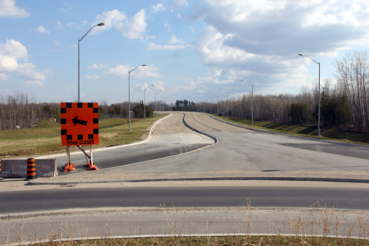
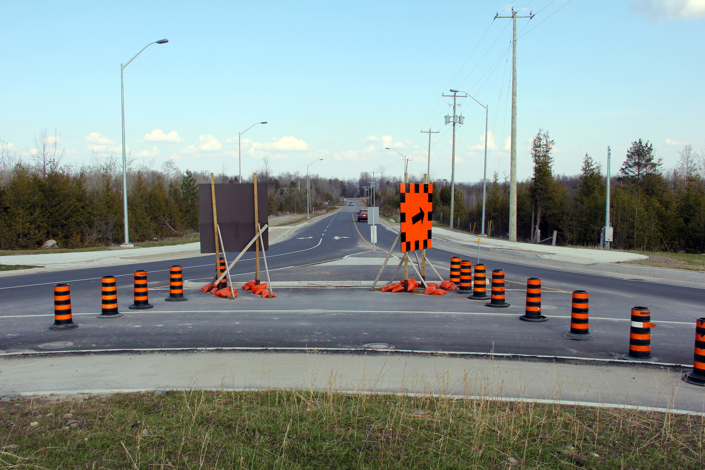
Town of Collingwood County of Simcoe |
Westerly (north on the compass) view along Highway 26-New from the Poplar
Sideroad roundabout.
Photo taken: March 19th, 2012. |
(720x480)
(1440x960)
(2400x1600) |
|
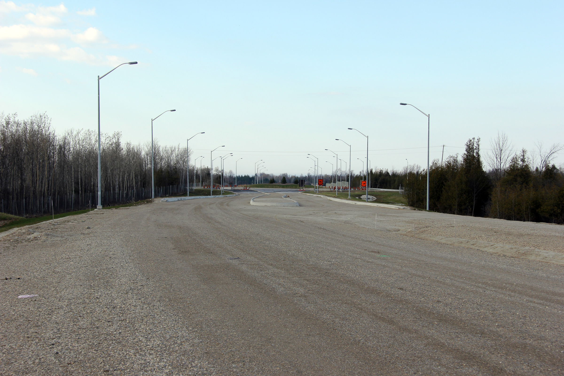
Town of Collingwood County of Simcoe |
Easterly view along Poplar Sideroad from the Highway 26-New roundabout.
Photo taken: March 19th, 2012. |

(720x480)
(1440x960)
(2400x1600) |
|
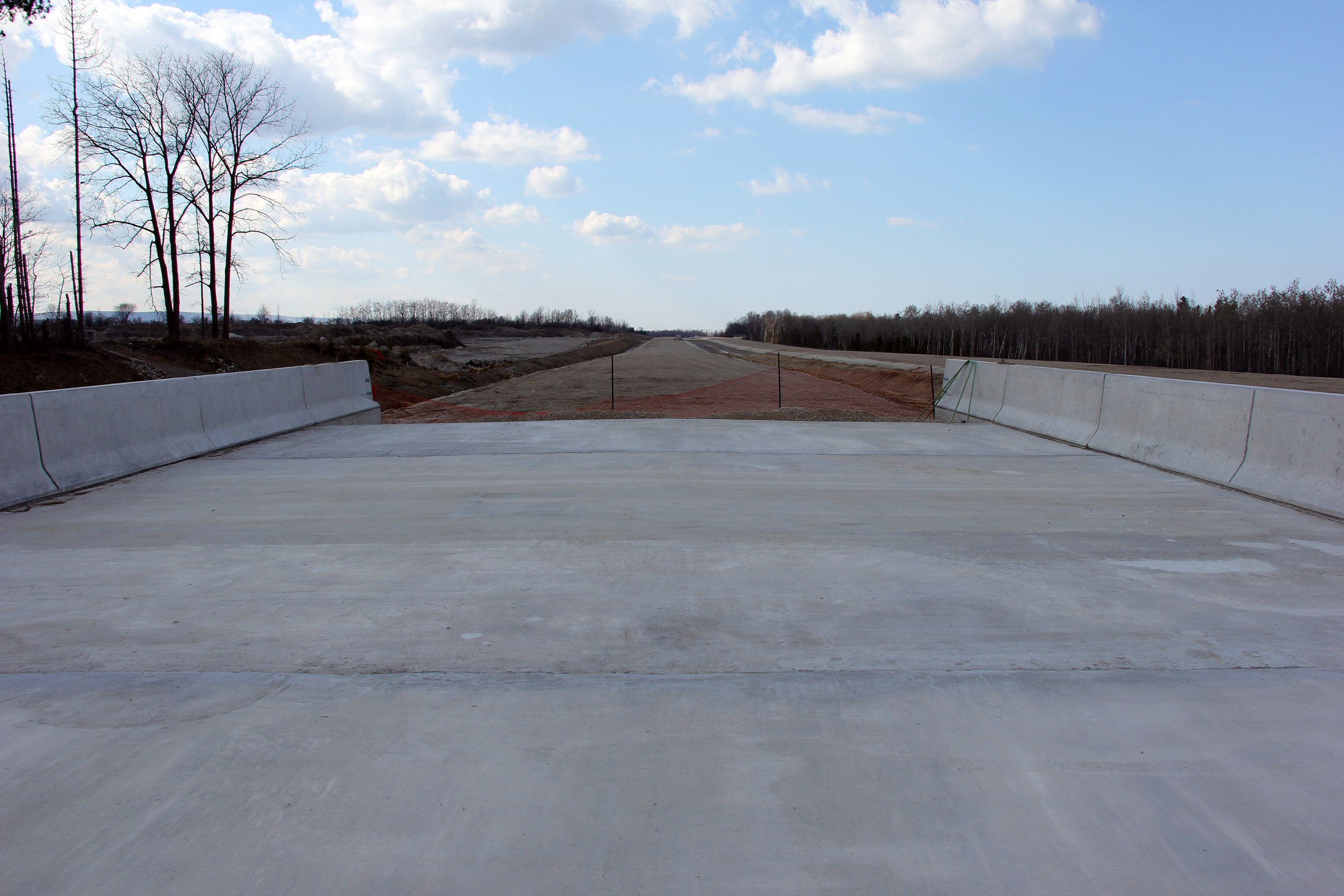
Town of Collingwood County of Simcoe |
Easterly view (south on the compass) along the future alignment of Highway
26 that will carry traffic towards Wasaga Beach.
Photo taken: March 19th, 2012. |
(720x480)
(1440x960)
(2400x1600) |
|
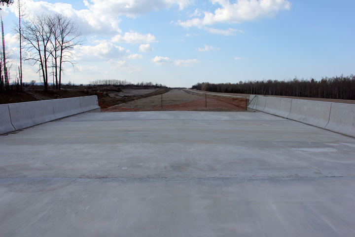
Town of Collingwood County of Simcoe |
Westerly view towards the Poplar Sideroad roundabout as the grassed median
of the future highway narrows to become a raised median.
Photo taken: March 19th, 2012. |
(720x480)
(1440x960)
(2400x1600) |
|
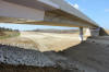
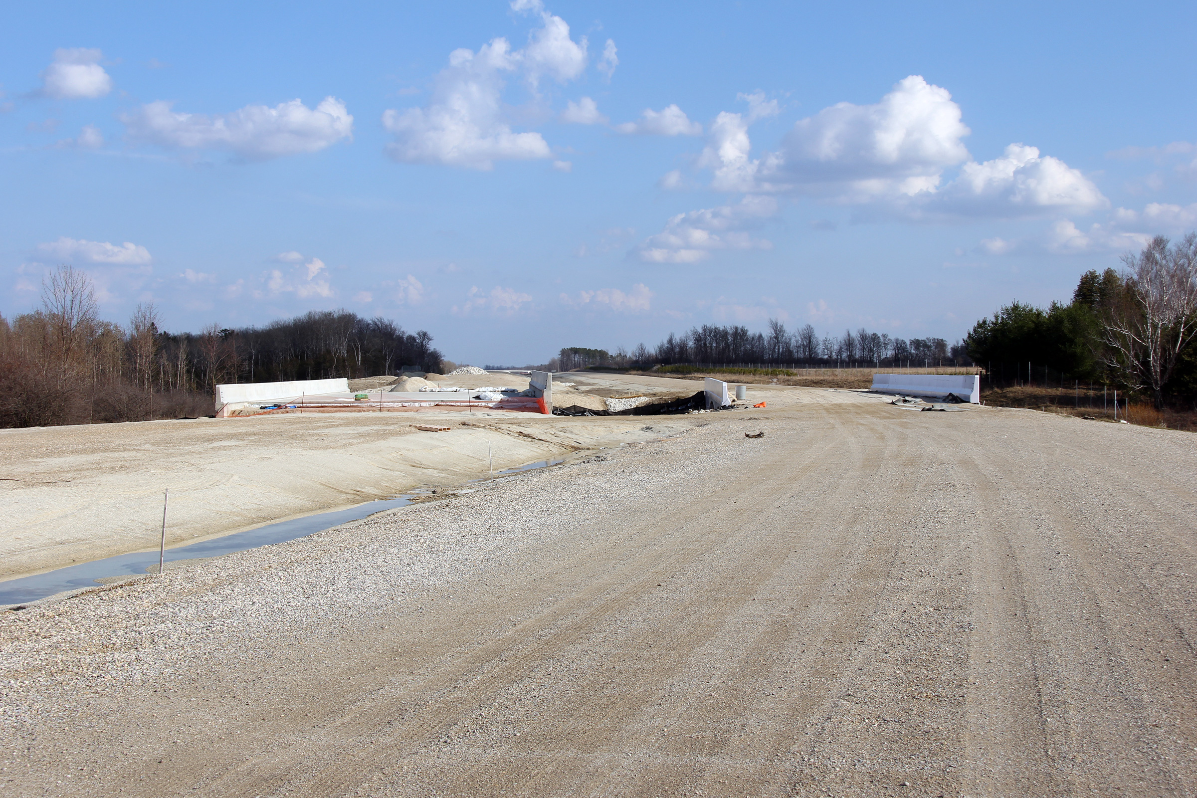
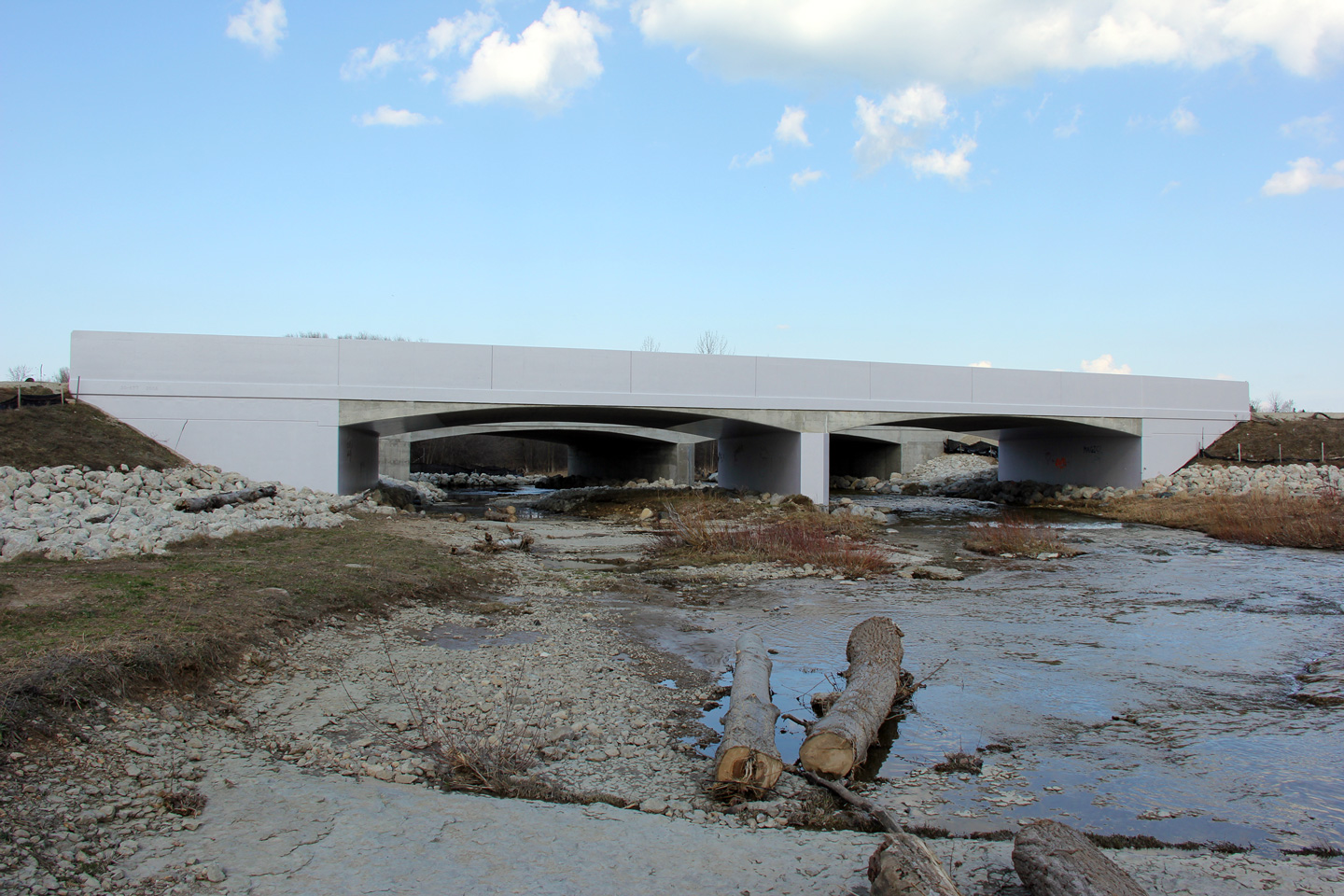
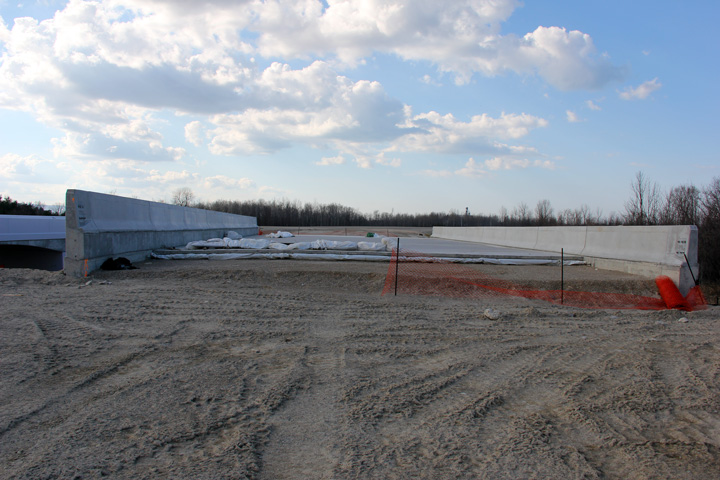
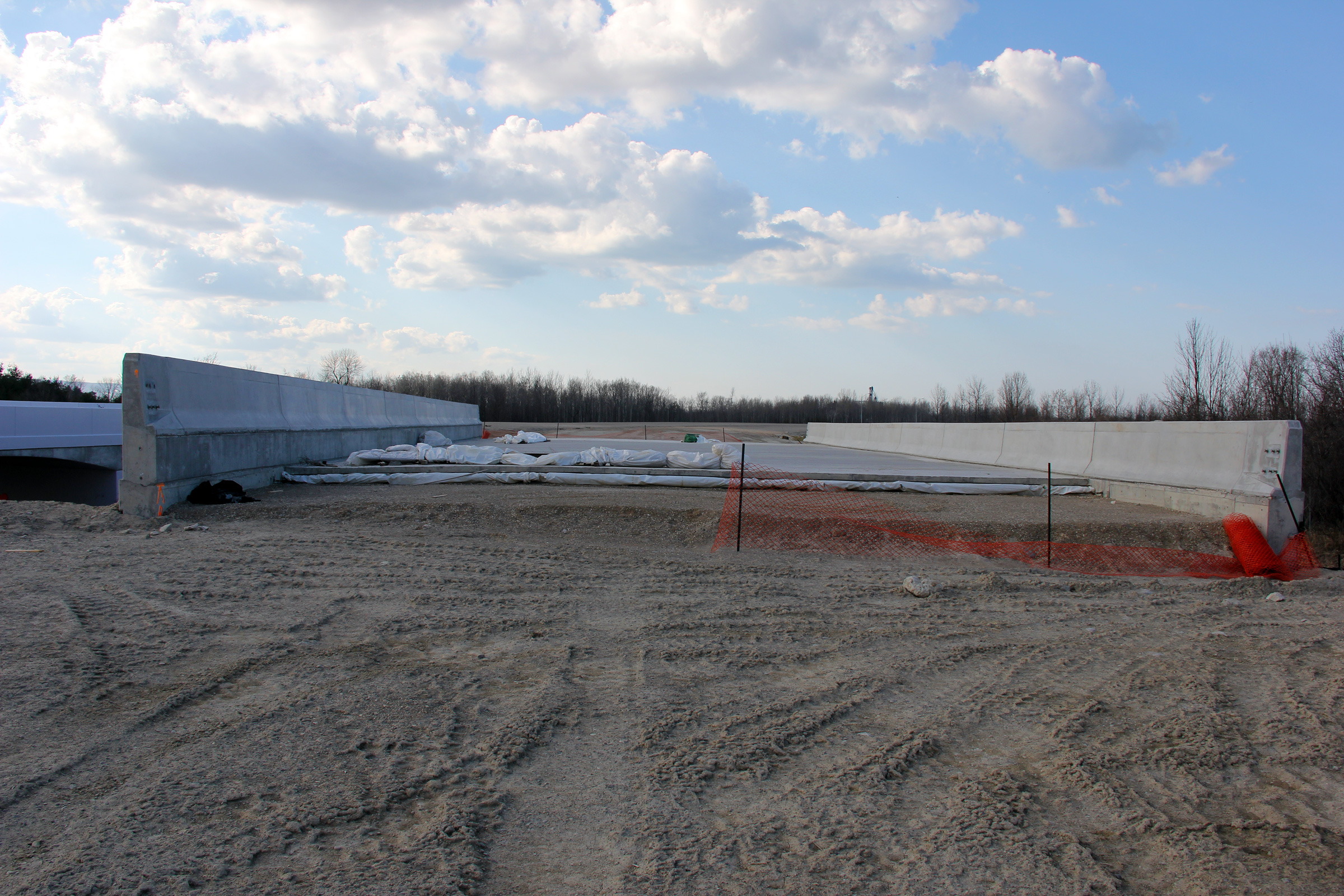
Town of Collingwood County of Simcoe |
Easterly view towards the twin Batteaux River bridges. Because the
width of the median varies as Highway 26-New rounds the curve east of the
Poplar Sideroad roundabout, the structures are built on distinct alignments.
Photo taken: March 19th, 2012. |
(720x480)
(1440x960)
(2400x1600) |
|
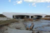
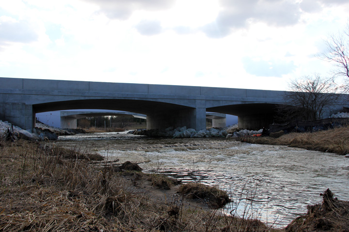
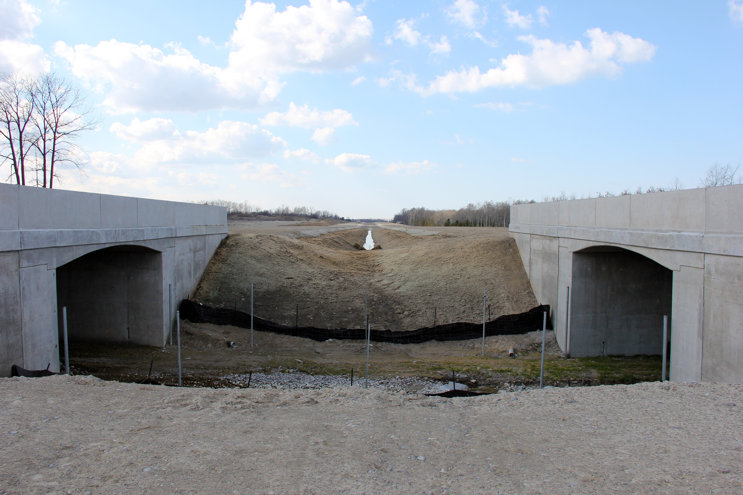
Town of Collingwood County of Simcoe |
View looking northerly towards the twin rigid frame bridges that span the
Batteaux River.
Photo taken: March 19th, 2012. |
(720x480)
(1440x960)
(2400x1600) |
|
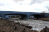
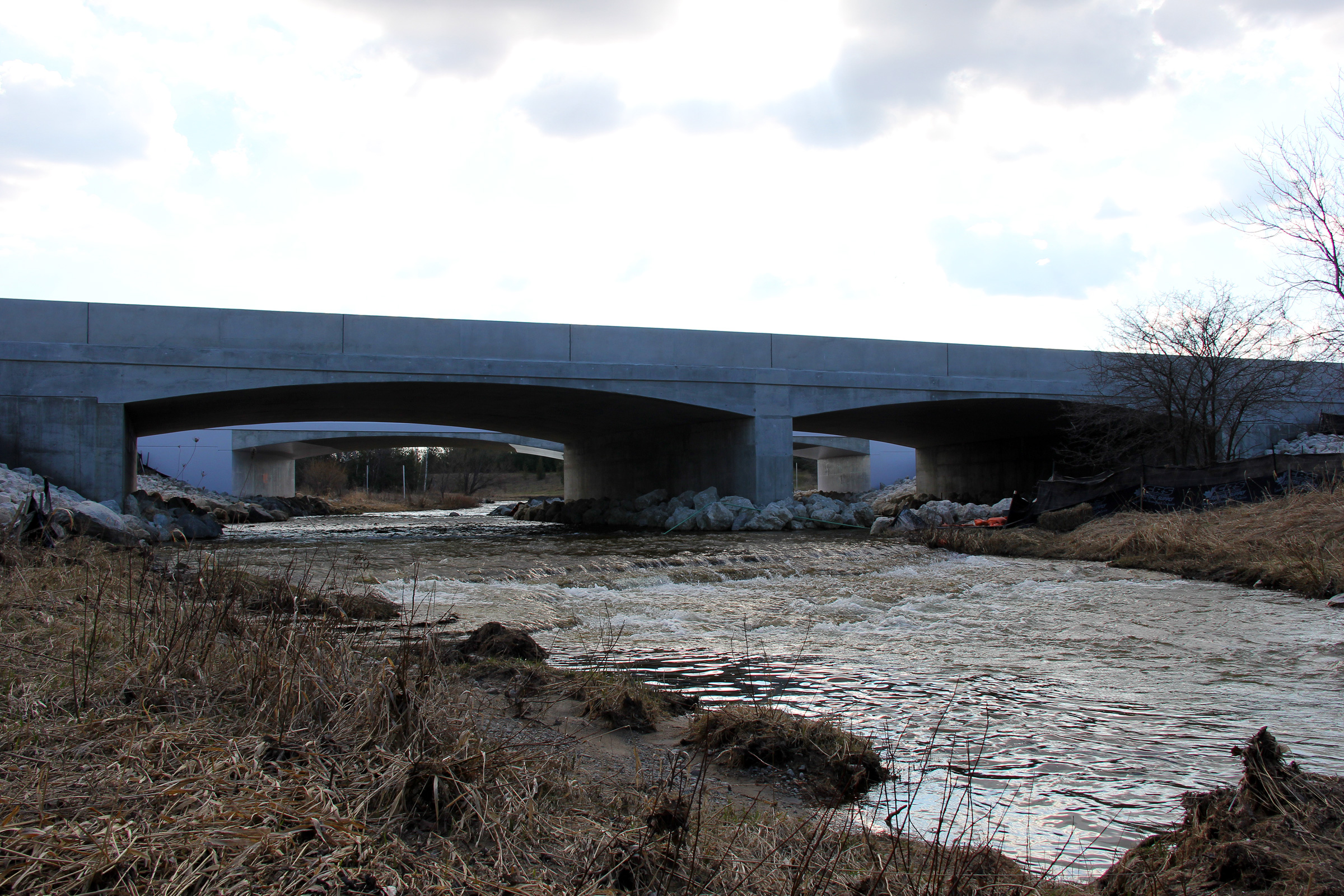
Town of Collingwood County of Simcoe |
A very wintery view looking southerly at the Batteaux River bridges.
Photo taken: March 19th, 2012. |
(720x480)
(1440x960)
(2400x1600) |
|
Town of Collingwood County of Simcoe |
Two views looking westerly along Highway 26-New as the highway crosses the
Batteaux River. In the lower photo (the westbound structure) notice
how much higher the left-most parapet wall is compared to that of the right.
This is because of the impending curve located just to the east of the
structure. Once completed this bridge will be build up with asphalt
and gravel to make up the super-elevation necessary for the impending curve.
Photos taken: March 19th, 2012. |
(720x480)
(1440x960)
(2400x1600)

(720x480)
(1440x960)
(2400x1600) |
|
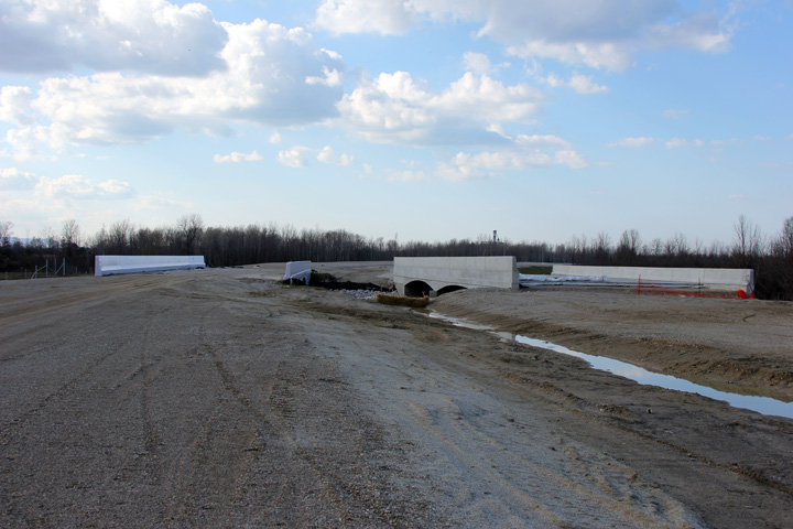
Town of Collingwood County of Simcoe |
Westerly views from the creek crossing at Sideroad 36-37 Nottawasaga.
Photos taken: March 19th, 2012. |
(720x480)
(1440x960)
(2400x1600)
(720x480)
(1440x960)
(2400x1600) |
|
Town of Collingwood County of Simcoe |
Westerly view in the median of the creek crossing at Sideroad 36-37
Nottawasaga.
Photo taken: March 19th, 2012. |
(720x480)
(1440x960)
(2400x1600) |
|
Town of Collingwood County of Simcoe |
Two views looking easterly towards the Fairgrounds Road overpass from the
creek crossing at Sideroad 36-37 Nottawasga.
Photos taken: March 19th, 2012. |
(720x480)
(1440x960)
(2400x1600)
(720x480)
(1440x960)
(2400x1600) |
|
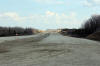
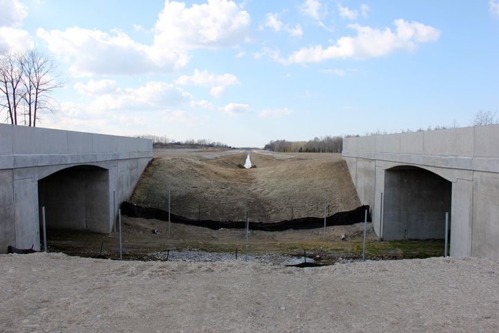
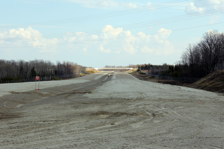
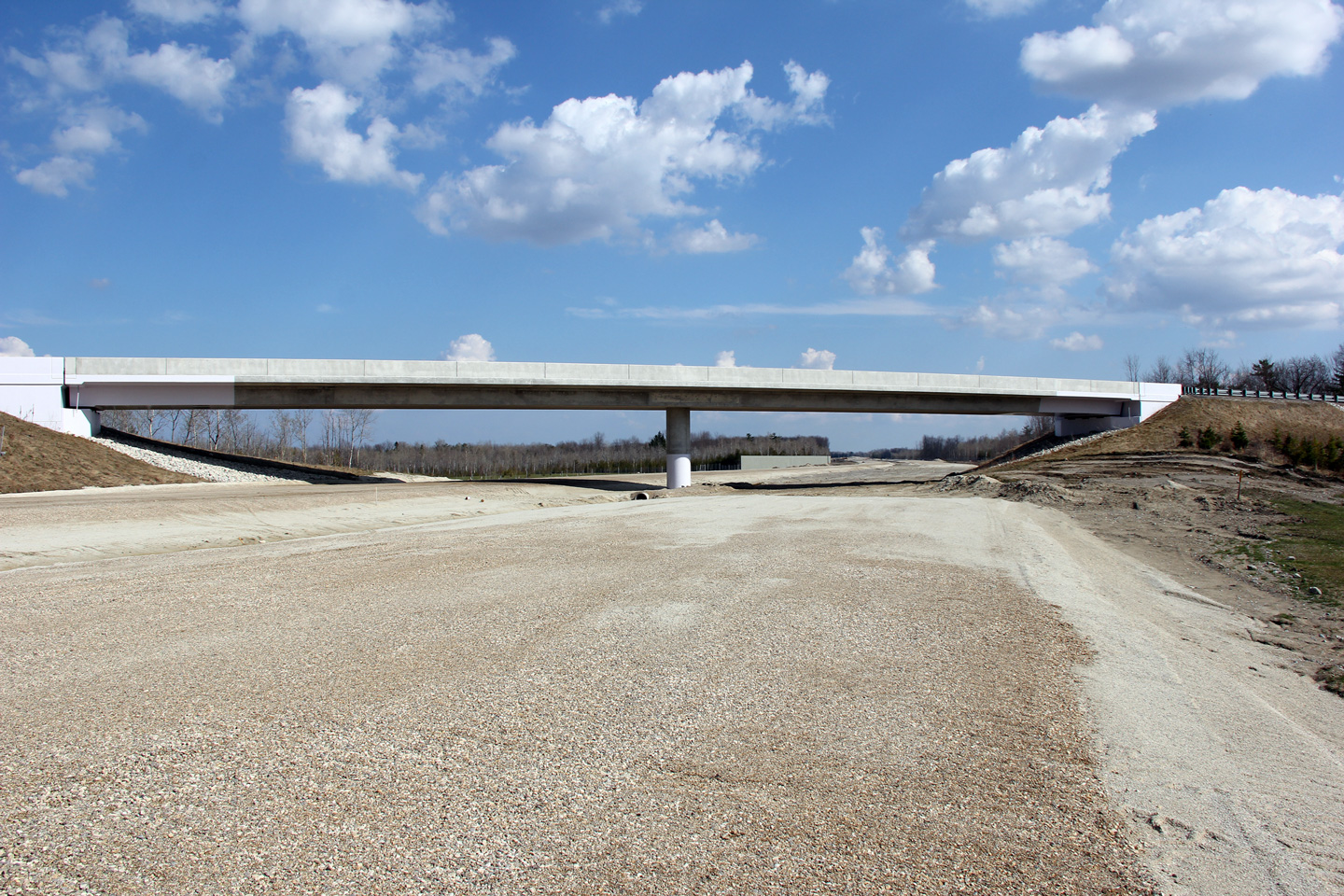
Town of Collingwood County of Simcoe |
View looking easterly towards the Fairgrounds Road overpass.
Photo taken: March 19th, 2012. |
(720x480)
(1440x960)
(2400x1600) |
|
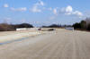
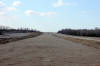
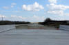
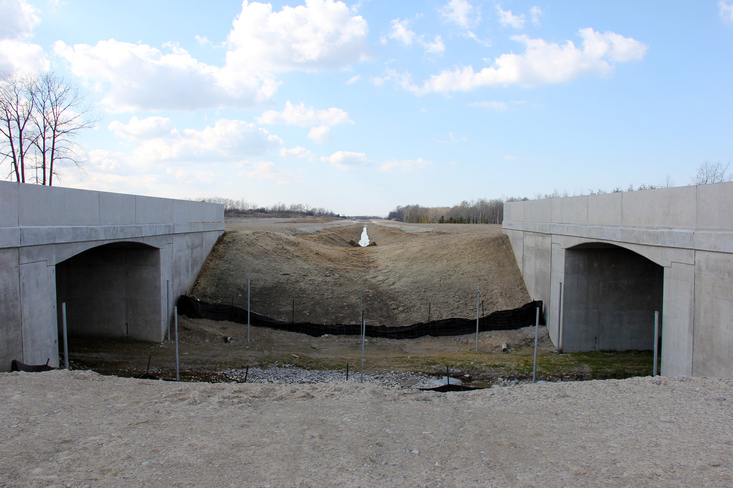
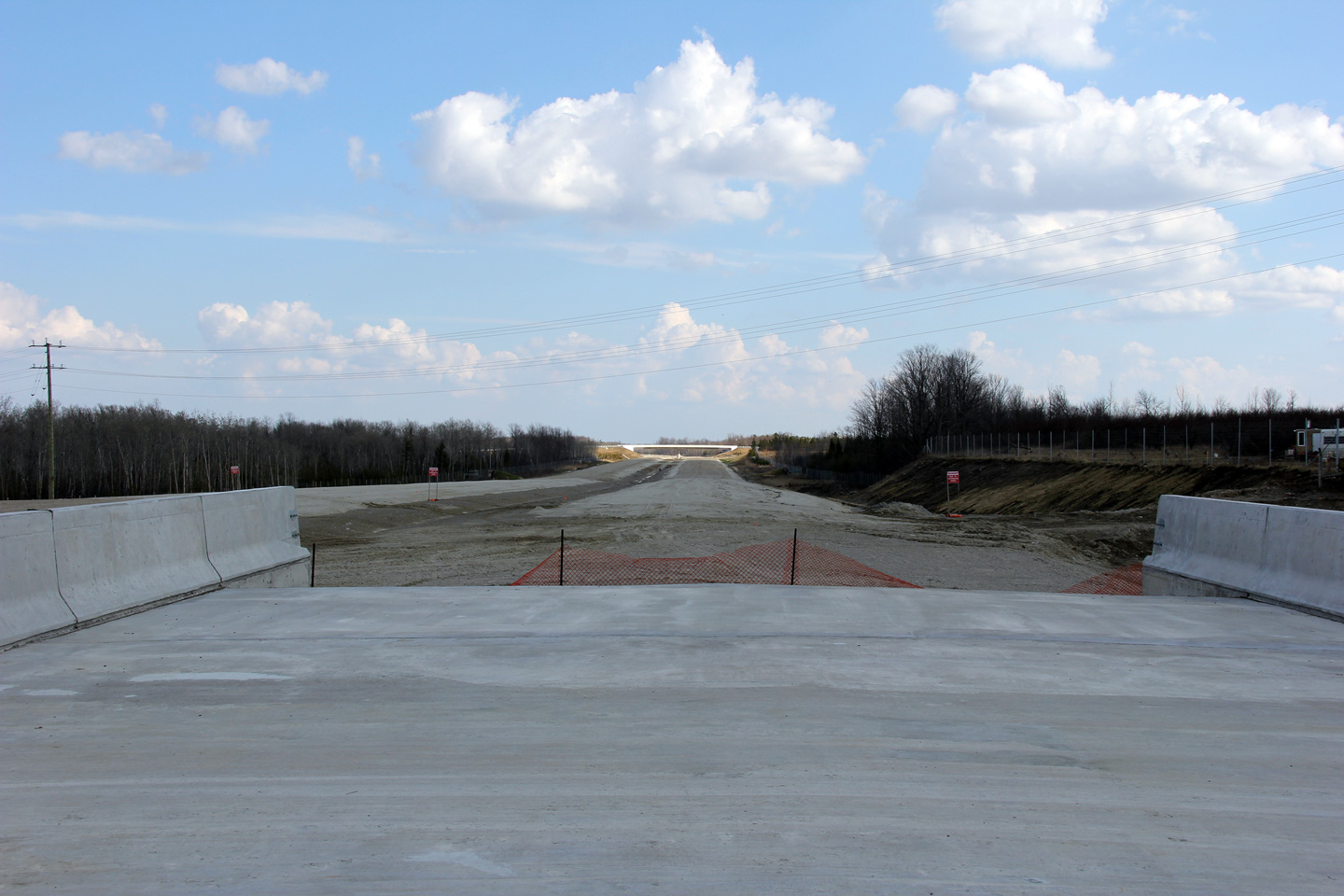
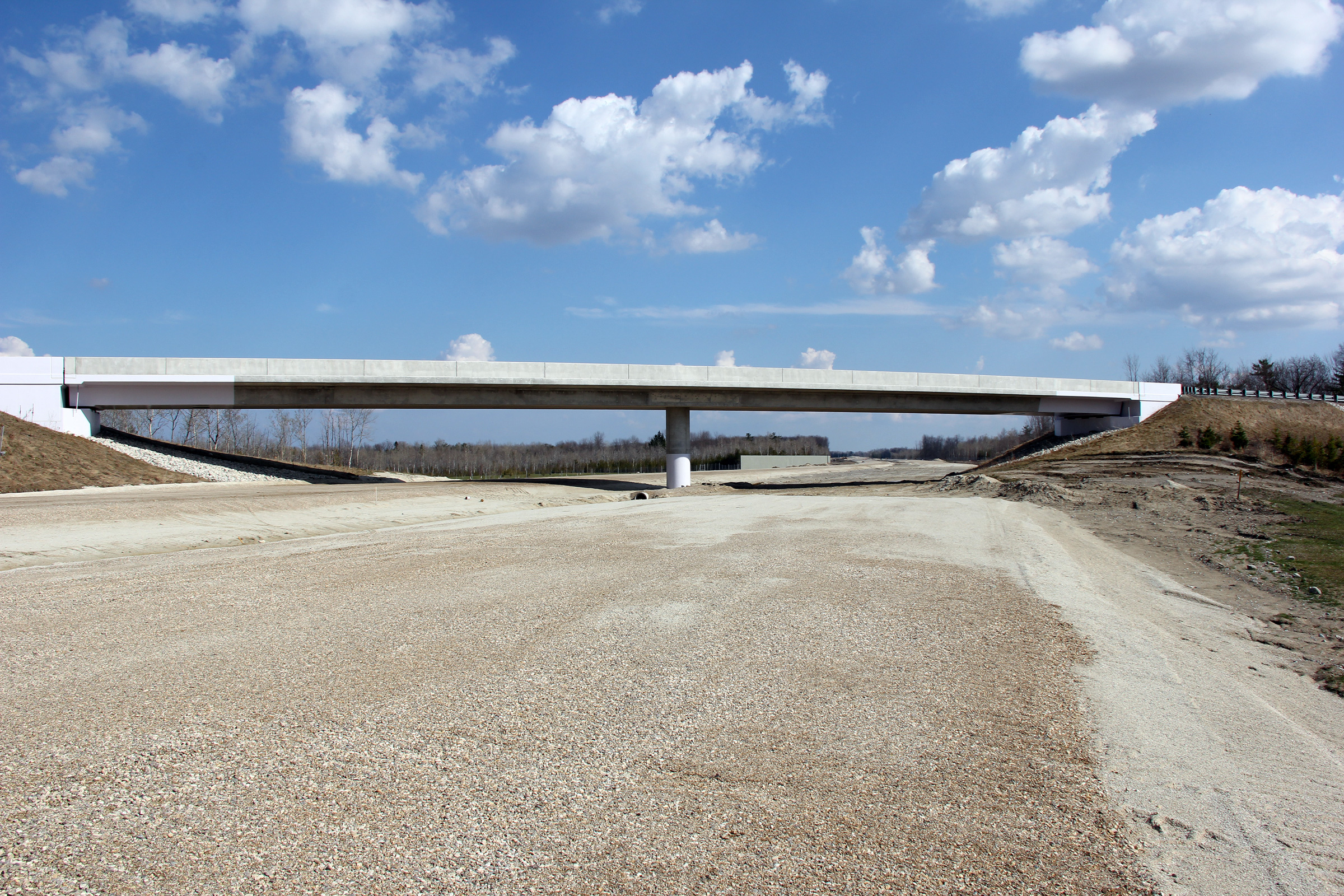
Town of Collingwood County of Simcoe |
Westerly view from the Fairgrounds Road overpass along Highway 26-New.
Photo taken: March 19th, 2012. |
(720x480)
(1440x960)
(2400x1600) |
|
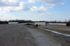
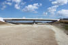
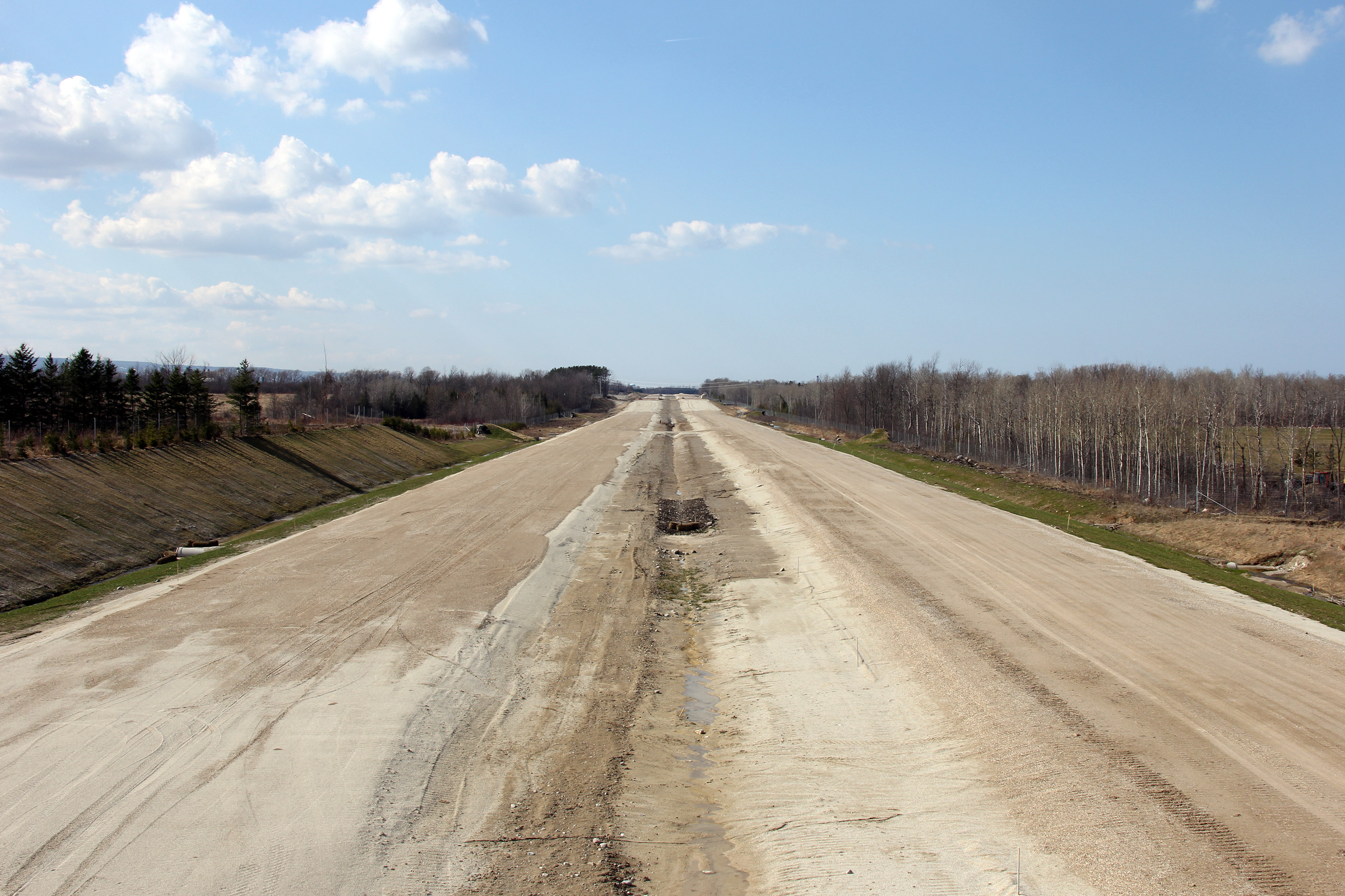
Town of Wasaga Beach County of Simcoe |
Easterly view from the Fairgrounds Road overpass. To the north of the
highway lies a storm water management pond. These ponds filter
pollutants out of water and regulate storm water flows into the natural
environment reducing the scouring effect that a large storm event can have
in a natural watercourse.
Photo taken: March 19th, 2012. |
(720x480)
(1440x960)
(2400x1600) |
|
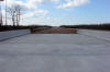
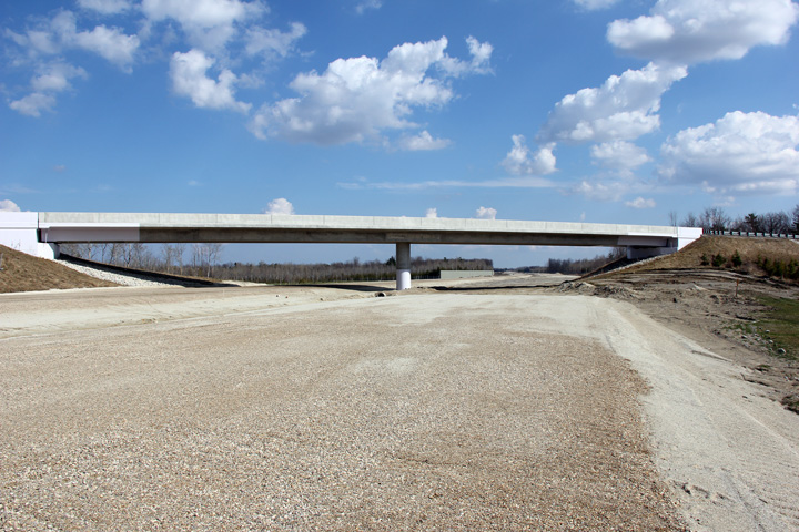
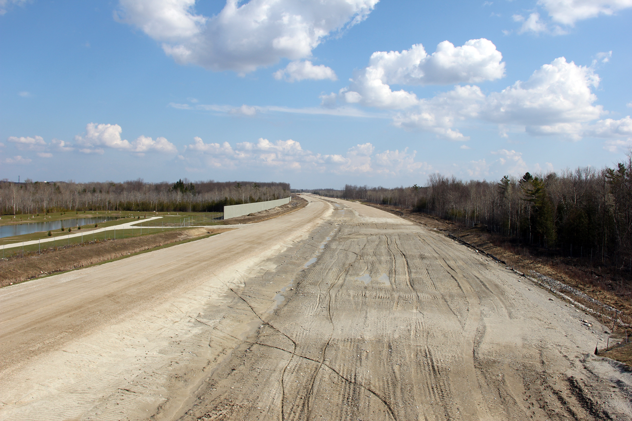
Town of Wasaga Beach County of Simcoe |
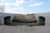
The eastern side of the Fairgrounds Road overpass. The two access
ports on the underside of the overpass provide access to structural
inspectors into the interior of this hollow bridge. This allows
inspectors to conduct regular inspection activities.
Photo taken: March 19th, 2012. |
(720x480)
(1440x960)
(2400x1600) |


