|
Proper Municipality Name |
Photo Description |
Photo |
|
Pictures taken
from driver's perspective appear offset from centre-line pictures: |
North-
Bound |
South-
Bound |
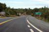
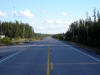
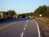
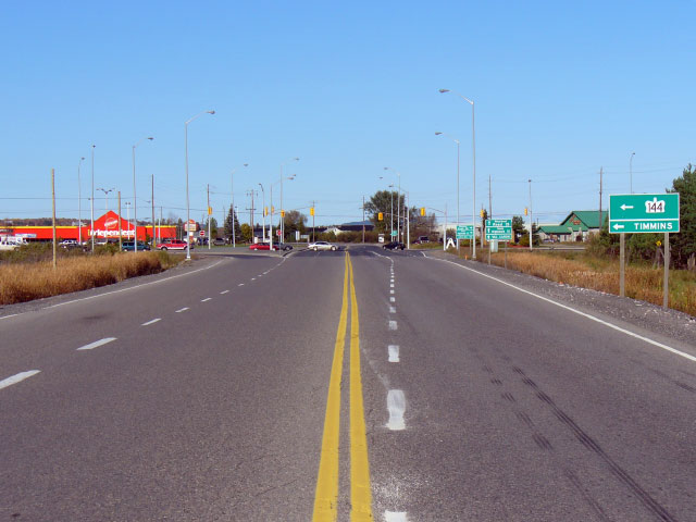
| City of Greater Sudbury |
Northerly view from just north of the Highway 17
interchange along Highway 144. It is generally a long and lonely ride
for the 292 km between this interchange and Timmins.
Photo taken: August 21st, 2011. |
(720x480)
(1440x960)
(2400x1600) |
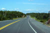
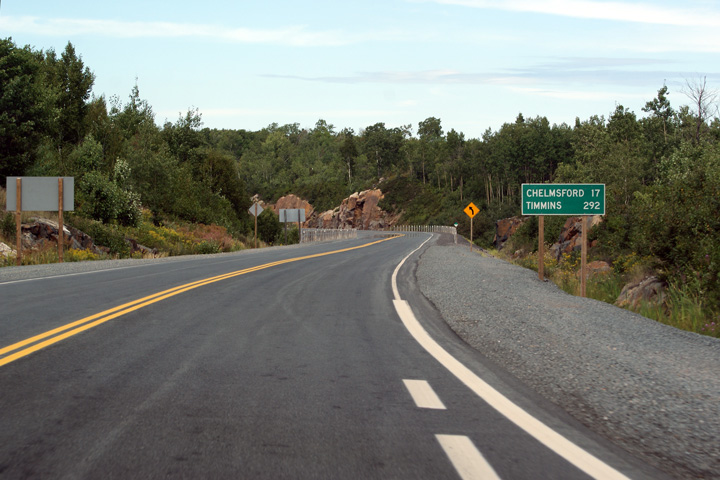
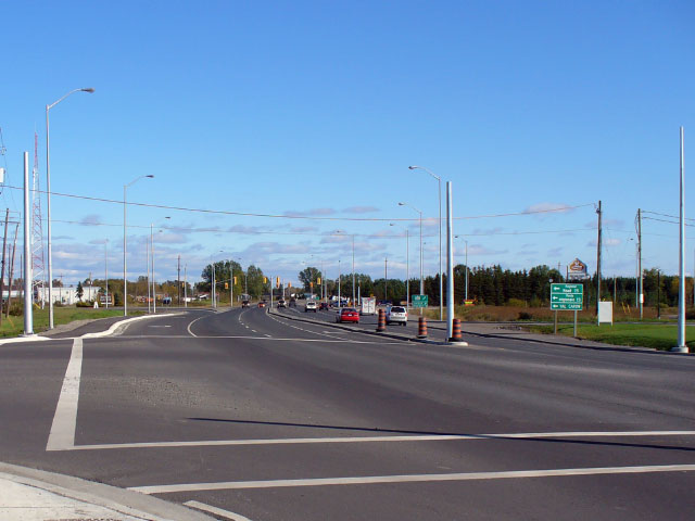
| City of Greater Sudbury |
Typical view of the Sudbury Northwest By-pass.
This view was taken approximately 8km north of the Highway 17 interchange.
Photo taken: August 21st, 2011. |
(720x480)
(1440x960)
(2400x1600) |
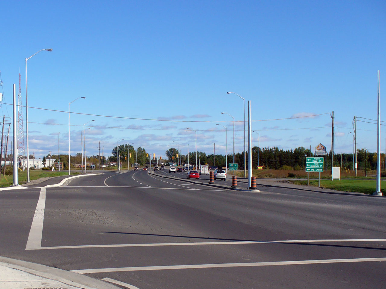
| City of Greater Sudbury |
View looking northerly at the north end of the
Northwest By-pass at the Regional Road 15/35 intersection. Photo
Copyright: Patrick Gaudreau. Taken: October 10th, 2007. Low-res:
55kb. High-res: 230kb. |
Low-res
High-res |
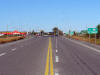
| City of Greater Sudbury |
Looking south towards the Northwest By-pass intersection. Straight
ahead at this intersection is Sudbury Road 35, which carries traffic south
into Downtown Sudbury, and was part of Highway 144 until the Northwest
By-pass opened in the 1980s.
Photo Copyright: Patrick Gaudreau. Taken: October 10th, 2007.
Low-res: 50kb. High-res: 175kb. |
Low-res
High-res |
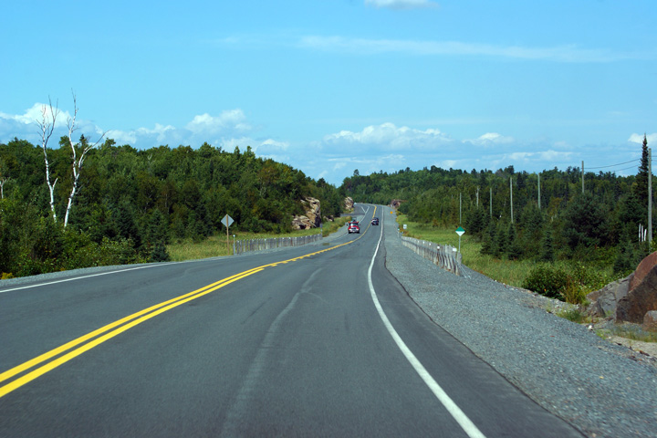
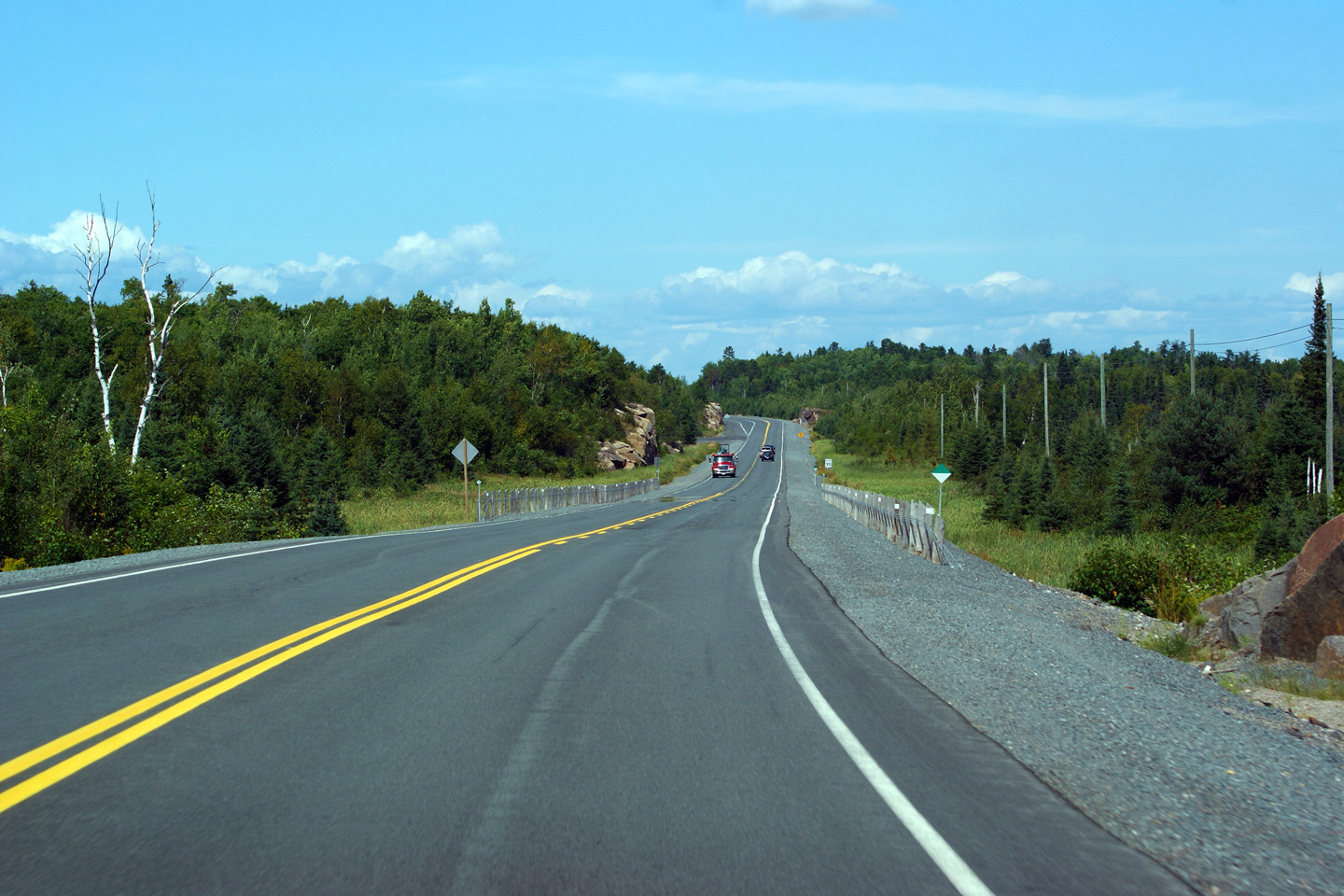
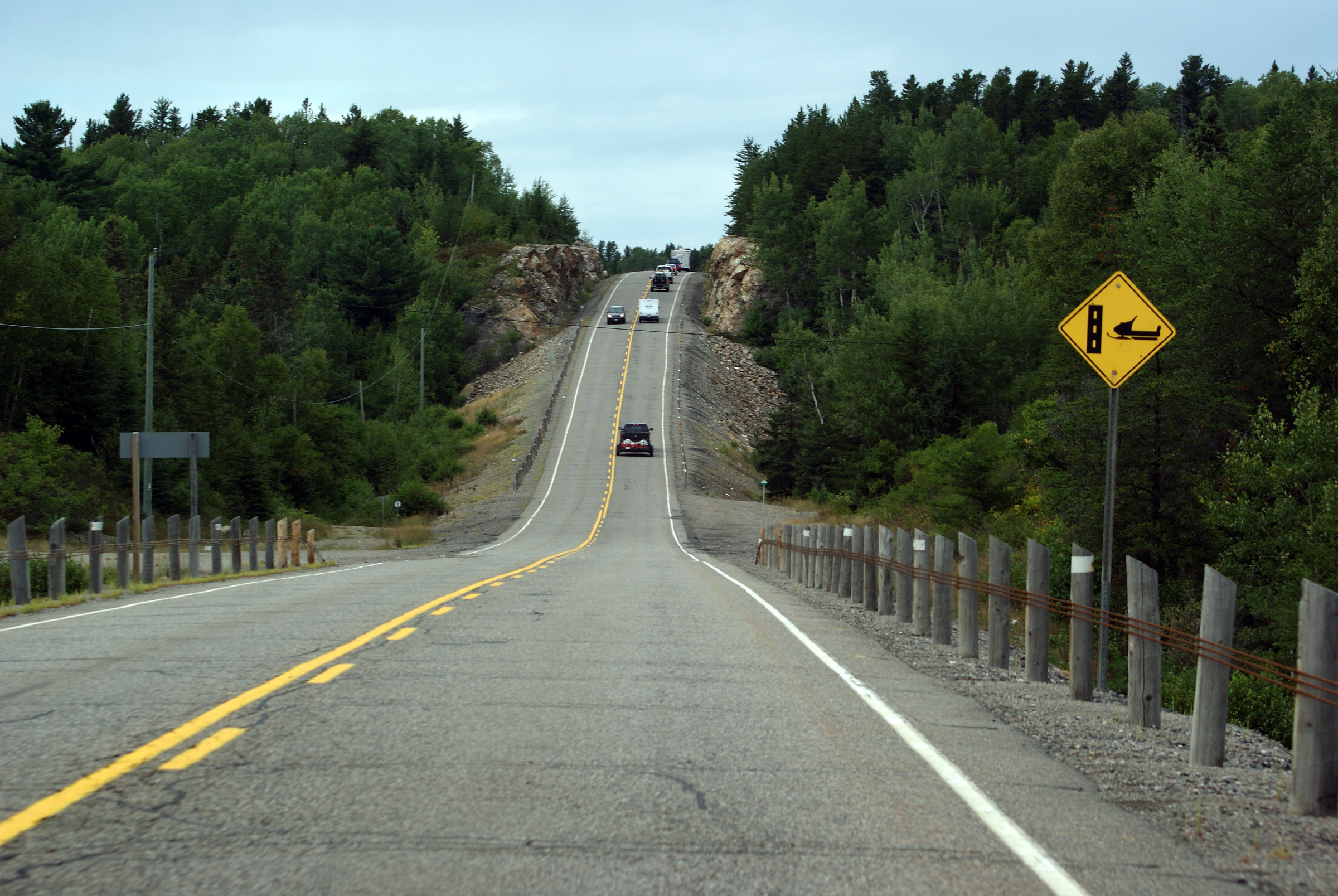
| City of Greater Sudbury |
View of Highway 144 near Onaping, looking
northbound.
Photo taken: August 21st, 2011. |

(720x480)
(1440x960)
(2400x1600) |
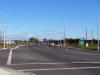
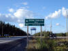
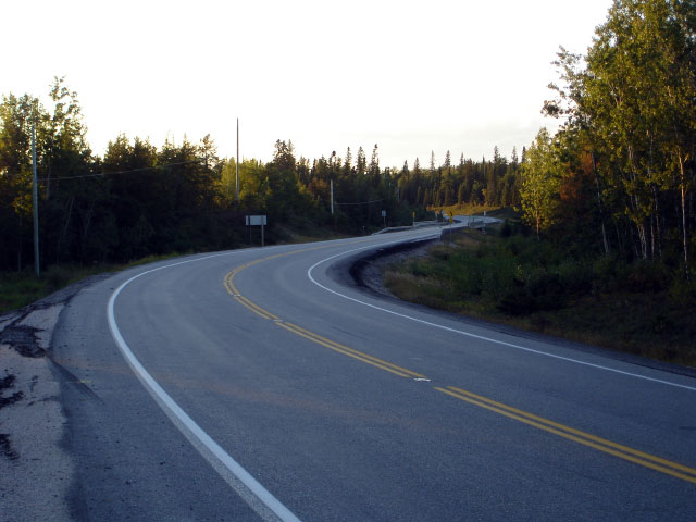
| District of Sudbury |
View looking south along Highway 144 from the
Highway 560 junction. Photo taken: August 27th, 2006. Low-res: 55kb.
High-res: 185kb. |
Low-res
High-res |
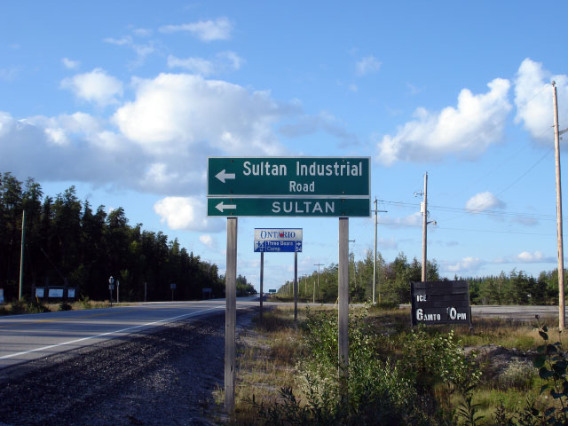
| District of Sudbury |
Green sign directing traffic onto the Sultan
Industrial Road. The Sultan Road is a private unpaved forestry access
road with public access. Reportedly this route in conjunction with
Highway 144 and 101 is the fastest way to traverse between Wawa and Sudbury.
Photo taken: August 27th, 2006. |
 |
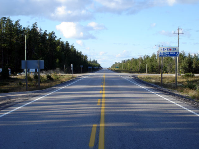
| District of Sudbury |
Looking north at the Sultan Road and Highway 560 intersection Photo taken: August 27th, 2006.
Low-res: 65kb. High-res: 220kb. |

Low-res
High-res |
|
Highway 560 extends east of
Highway 144 through the remote wilderness of this part of Ontario all the
way to Highway 11.
Click here for Highway 560 images |
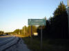
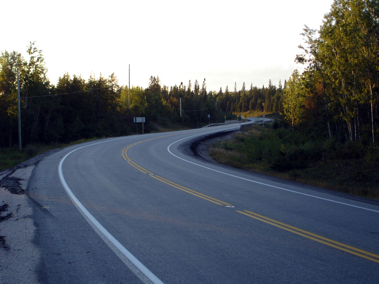
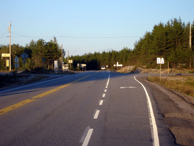
| District of Sudbury |
Looking south along Highway 144 from the Highway
661 intersection. Photo taken: August 27th, 2006. Low-res: 60kb.
High-res: 225kb. |

Low-res
High-res |
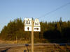
| District of Sudbury |
Green signage for Gogama and Timmins along
Highway 144.
Photo taken: August 27th, 2006. |
 |
| District of Sudbury |
Abnormally bright junction assembly set in front
of a late afternoon forest background.
Photo taken: August 27th, 2006. |
 |
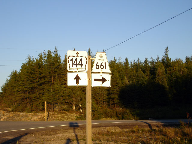
| District of Sudbury |
The Highway 661 intersection looking northerly. Photo taken: August 27th, 2006.
Low-res: 65kb. High-res: 265kb. |
Low-res
High-res |
|
Highway 144 ends at Highway 101.
Highway 101 is one of northeastern Ontario's longest highways stretching
from Wawa to the Quebec Border.
Click here for Highway
101 images |


