|
|
|
|
|
|
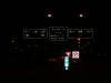
West-
Bound |
|
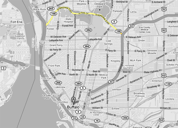
Interstate 190 runs along the eastern short of the Niagara River
throughout Buffalo, and is the principal route between Buffalo and
Niagara Falls.
Click here for I-190 images. |
|
Erie County
City of Buffalo
|
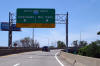
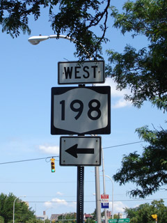
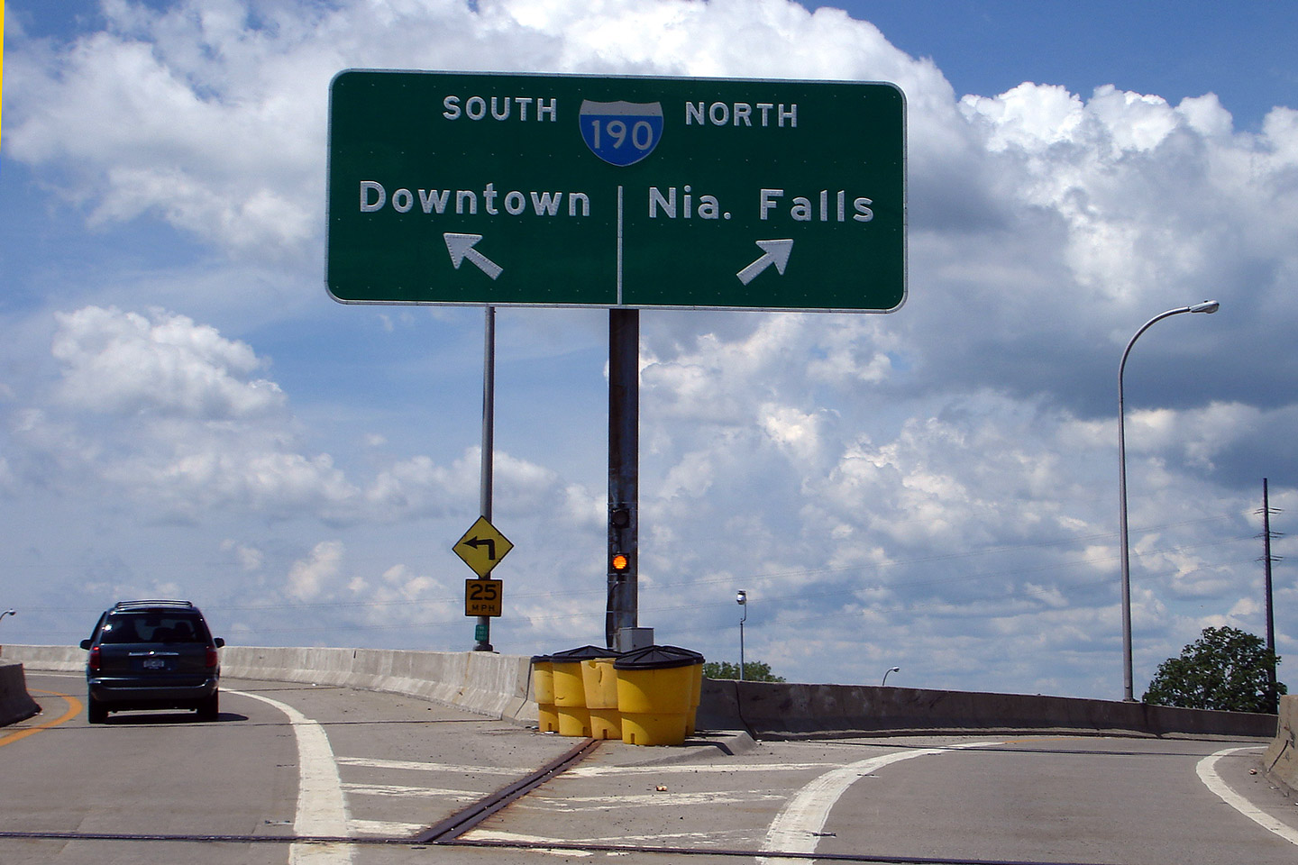
 Guide
signage overhead of the western end of Route 198 at the I-190
interchange. The western end of the Scajaquada is situated high
atop of I-190 and the Buffalo-Niagara Falls Railway. Guide
signage overhead of the western end of Route 198 at the I-190
interchange. The western end of the Scajaquada is situated high
atop of I-190 and the Buffalo-Niagara Falls Railway. |

|
|
Photographed by: AsphaltPlanet.ca |
Date: 3/30/2007 |
High Res
|
|
Erie County
City of Buffalo
|
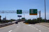
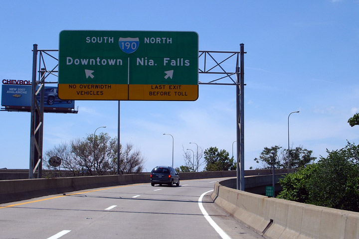
Overhead
'button-copy' signage for the I-190 interchange. When this
sign was taken, I-190 was still tolled both directions into Downtown
Buffalo. Considering the economic troubles that have befallen
Buffalo for the past fifty (or so) years, its amazing to think road
tolls like this could have existed for as long as they did. |
|
|
Photographed by: AsphaltPlanet.ca |
Date: 3/30/2007 |
High Res
|
|
Erie County
City of Buffalo
|
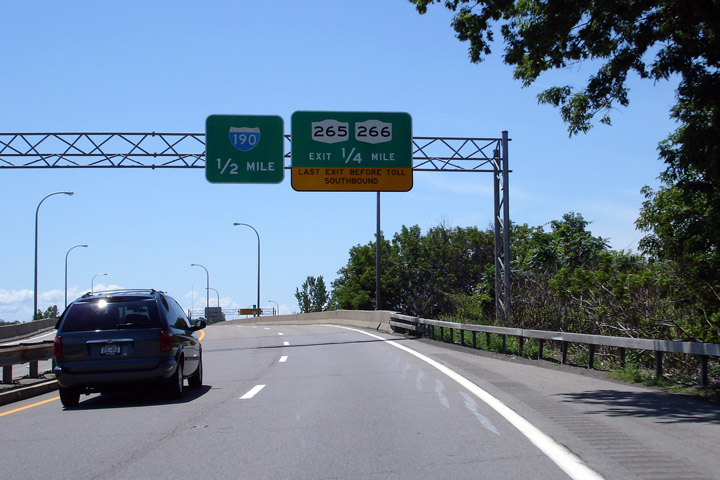
Exit
signage for both New York Route's 265 and 266 (convenient they would be
located next to one another). Note the '0' mileage marker visible
on the right side of the highway. Obviously Route 198
continues west of the Route 265/266 junction for another quarter mile to
I-190. |
|
|
Photographed by: AsphaltPlanet.ca |
Date: 3/30/2007 |
High Res |
|
Erie County
City of Buffalo
|
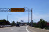
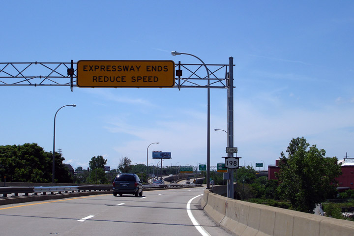
Overhead
guide signage denoting the western end of the Expressway. The
yellow beacon's flash in unison. |
|
|
Photographed by: AsphaltPlanet.ca |
Date: 3/30/2007 |
High Res
|
|
Erie County
City of Buffalo
|
Overhead
guide signage marking the two western most exits from Route 198. |

|
|
Photographed by: AsphaltPlanet.ca |
Date: 3/30/2007 |
High Res
|
|
Erie County
City of Buffalo
|
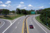
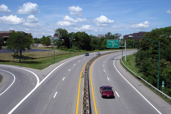
View
looking westerly along the Scajaquada Expressway from
the Elmwood Avenue interchange. at the Robert Moses Parkway interchange. |
 |
|
Photographed by: AsphaltPlanet.ca |
Date:
3/29/2007 |
High Res |
|
Erie County
City of Buffalo
|
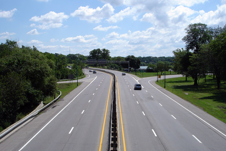
Easterly
view from the Elmwood Avenue interchange. East of Elmwood Avenue,
Route 198 begins to arc through the centre of Buffalo's rather scenic
Delaware Park. |
 |
|
Photographed by: AsphaltPlanet.ca |
Date:
3/29/2007 |
High Res |
|
Erie County
City of Buffalo
|
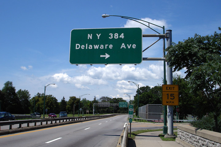
Overhead
'button-copy' signage for the Delaware Avenue interchange from Route-198
West. Delaware Avenue is one of Buffalo's principal north-south
arterial roads, and is from where Buffalo's premier central park's name
is derived from. |

|
|
Photographed by: AsphaltPlanet.ca |
Date: 3/30/2007 |
High Res
|
|
Erie County
City of Buffalo
|
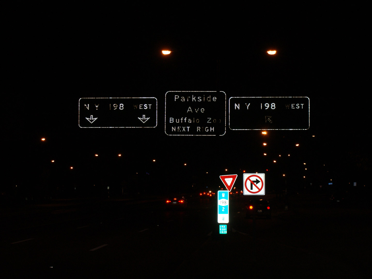
Overhead
button-copy guide signage for the Parkside Drive at-grade intersection.
This sign is taken at the point where the westbound service road/on-ramp
joins the expressway immediately east of the Parkside Drive signal. |
|
|
Photographed by: AsphaltPlanet.ca |
Date: 11/08/2009 |
High Res
|
|
Route
5 is Buffalo's Main Steet, running North-South through the City.
Click here for Route 5 images. |


