|
|
|
|
|
|
West-
Bound |
|
Niagara County
Town of Lewsiton
|
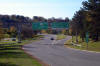
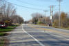
 View
looking southerly towards the Robert Moses Parkway and Route 104 split. View
looking southerly towards the Robert Moses Parkway and Route 104 split. |
|
|
Photographed by: AsphaltPlanet.ca |
Date:
3/30/2008 |
High Res
|
|
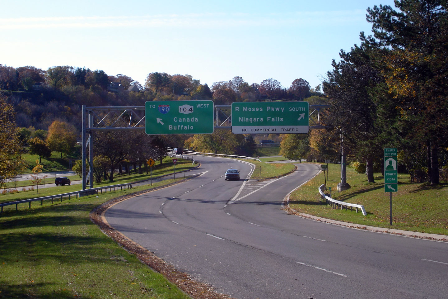
Niagara County
Town of Lewiston
|
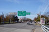
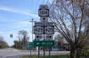
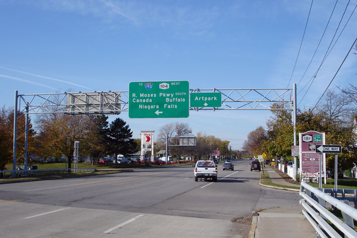
Overhead
green sign directing through traffic along West-104. Route 104
climbs the Niagara Escarpment along a steep 4-lane roadway. An
interchange with I-190 and the Queenston Lewiston Bridge is located at
the top of the hill. |
|
|
Photographed by: AsphaltPlanet.ca |
Date: 3/30/2007 |
High Res
|
|
Niagara County
Town of Lewiston
|
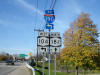
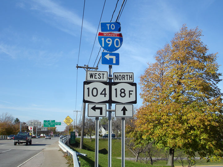
Junction
assembly for Route 18F at the Robert Moses Parkway interchange. |
|
|
Photographed by: AsphaltPlanet.ca |
Date:
3/29/2007 |
|
Genesee County
Town of Lewiston
|
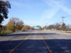
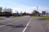
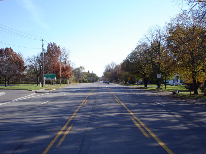
View
looking westerly along Route 104 at the Robert Moses Parkway interchange. |
 |
|
Photographed by: AsphaltPlanet.ca |
Date:
3/29/2007 |
High Res |
|
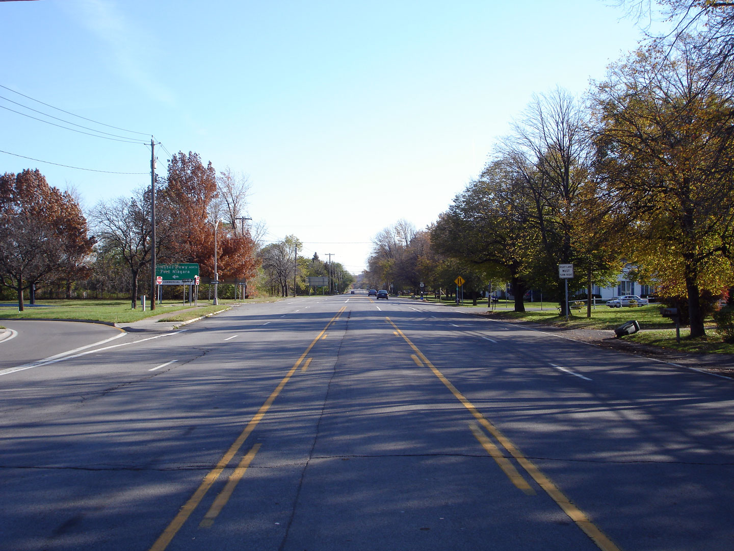
Niagara County
Town of Lewiston
|
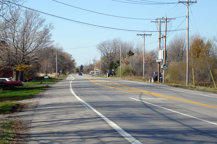
View
looking easterly along Route 104 from the Robert Moses Parkway.
Route 104 is primarily known as the Ridge Road, through Western New
York, this is very fitting since the highway runs along the lower side
of the Niagara Escarpment. |
 |
|
Photographed by: AsphaltPlanet.ca |
Date:
3/29/2007 |
High Res |
|
Niagara County
Township of Cambria
|
View
looking westerly along Route 104 from the Route 425 intersection. |
|
|
Photographed by: AsphaltPlanet.ca |
Date:
3/29/2007 |
High Res |
|
Niagara County
Town of Cambria
|
Signage
assembly at the Route 425 junction. |
 |
|
Photographed by: AsphaltPlanet.ca |
Date:
3/29/2007 |
|
Route 425
is a short secondary north-south highway that links Wilson on Lake
Ontario to Buffalo.
Click here for Route 425 images. |
|
Niagara County
Town of Cambria
|
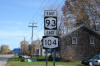
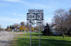
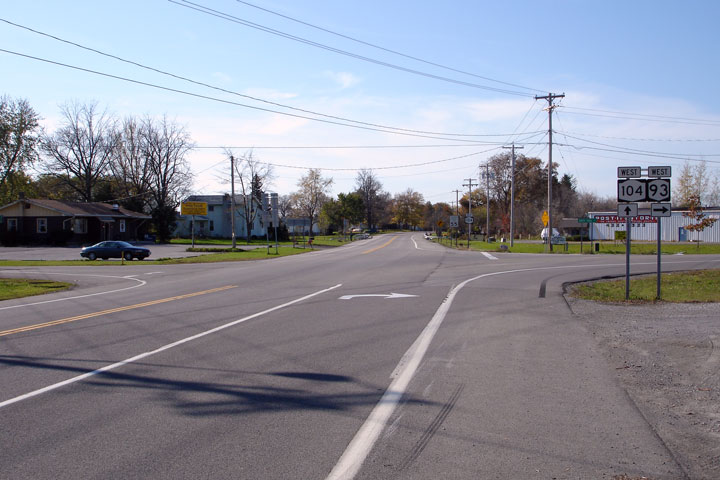
Easterly
view along Route 104 approaching the Route 93 intersection. Route
93 runs concurrent with Route 104 for several miles northwest of
Lockport. |
|
|
Photographed by: AsphaltPlanet.ca |
Date:
3/29/2007 |
High Res |
|
Niagara County
Town of Cambria
|
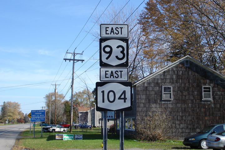
Eastbound
signage detailing the Route 93/104 multiplex. |
 |
|
Photographed by: AsphaltPlanet.ca |
Date:
3/29/2007 |
|
Niagara County
Town of Cambria
|
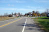
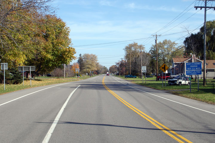
Easterly
view along Route 93/104. Route 104 is a very pleasant drive
through the Niagara frontier. |

|
|
Photographed by: AsphaltPlanet.ca |
Date:
3/29/2007 |
High Res |
|
Niagara County
Town of Cambria
|
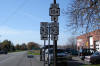
Junction
assembly for the eastbound split of Highway 93 and 104. |
 |
|
Photographed by: AsphaltPlanet.ca |
Date:
3/29/2007 |
|
Niagara County
Township of Cambria
|
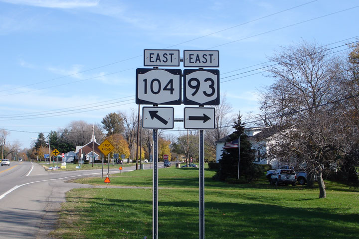
View
looking easterly along Route 104 as Route 93 departs towards Lockport.
Eastbound Route 93 takes the short ramp into Warrens Corners before
turning south along Town Line Road. |
 |
|
Photographed by: AsphaltPlanet.ca |
Date:
3/29/2007 |
High Res |
|
Niagara County
Town of Lockport
|
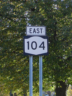
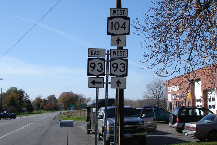
Westbound
junction assembly at the Route 93 East intersection. |
 |
|
Photographed by: AsphaltPlanet.ca |
Date:
3/29/2007 |


