AsphaltPlanet.ca > Michigan > Interstate 94 > Page 2
|
Interstate 94
(Michigan) |
| <- Page 1 |
|
Page 3 -> |
Pictures are arranged in order from
west to east.
I-94 East photos are
left-aligned in the last column, while I-94 West photos are right-aligned.
Center-line pictures are centered within the last column.
|
Location |
Description |
Photo |
||
|
East- |
West- Bound |
|||
|
Continue west along I-94. Click here for Indiana State Line to Paw Paw images. |
||||
|
Van Buren County |
View looking westerly from the Main St. overpass in Mattawan, located at Exit 66. |
|
||
|
Date: 7/06/2008 |
High-res: (1440x960) | |||
|
Van Buren County |
Easterly view of I-94 from Main St. in Mattawan. The eastbound lanes of the Interstate had been reconstructed in concrete not too long before this photo was taken. |
|
||
|
Date: 7/06/2008 |
High-res: (1440x960) | |||
|
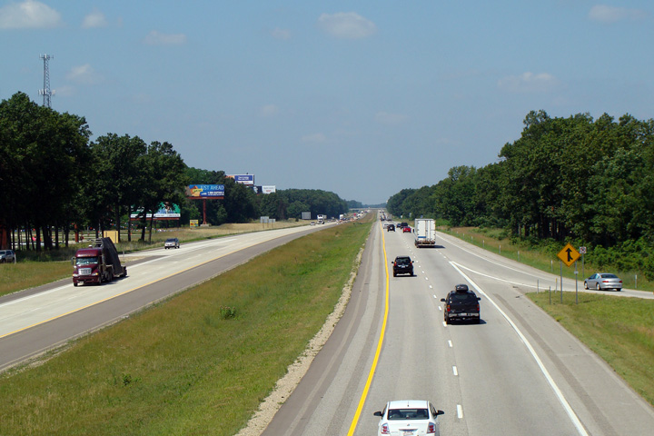
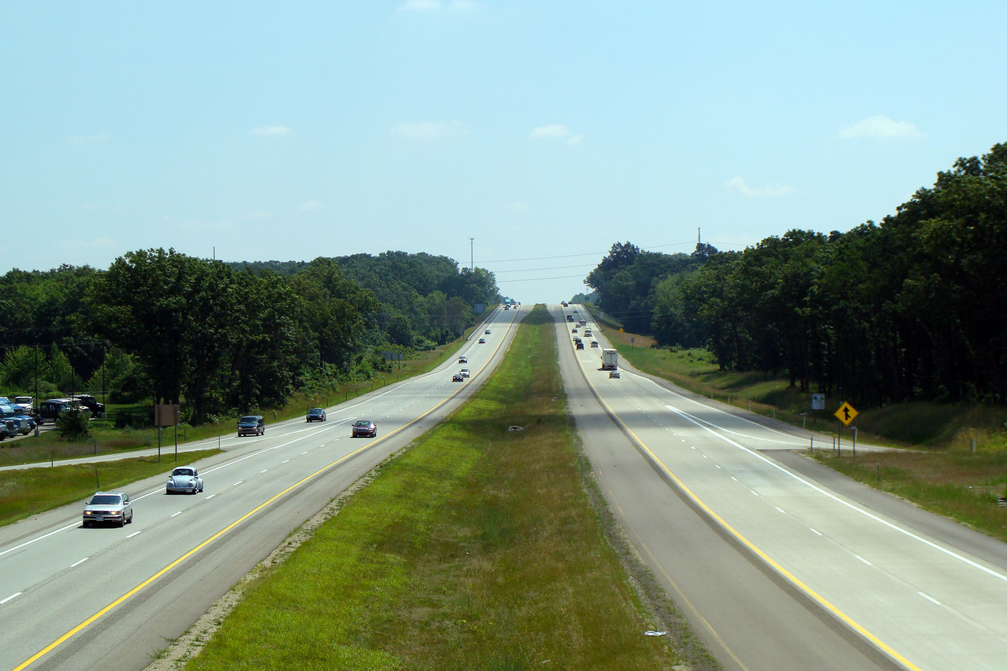
Kalamazoo County |
Easterly view through the 4th Street overpass west of Kalamazoo. An impressive amount of arch girder bridges remain spanning Interstate 94. An even more impressive number of them, such as the 4th Street bridge pictured to the right, retain their original steel railings, and appear to remain in very good condition. |
|
||
|
Date: 6/26/2011 |
High-res: (1440x960) (2400x1600) | |||
|
Kalamazoo County |
Eastbound advanced signage affixed to the 9th Street overpass. |
|
||
|
Date: 6/26/2011 |
High-res: (1440x960) (2400x1600) |
|||
|
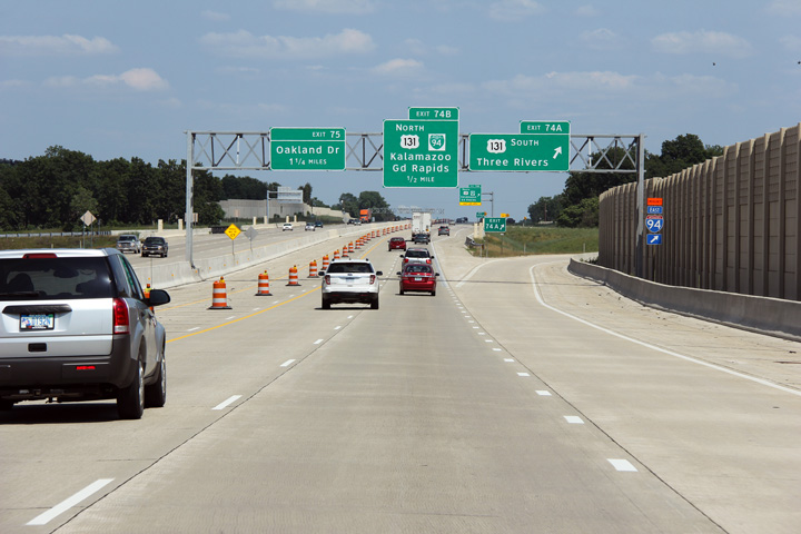
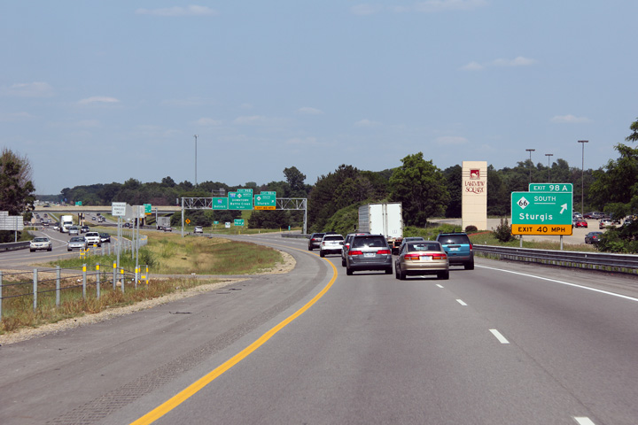
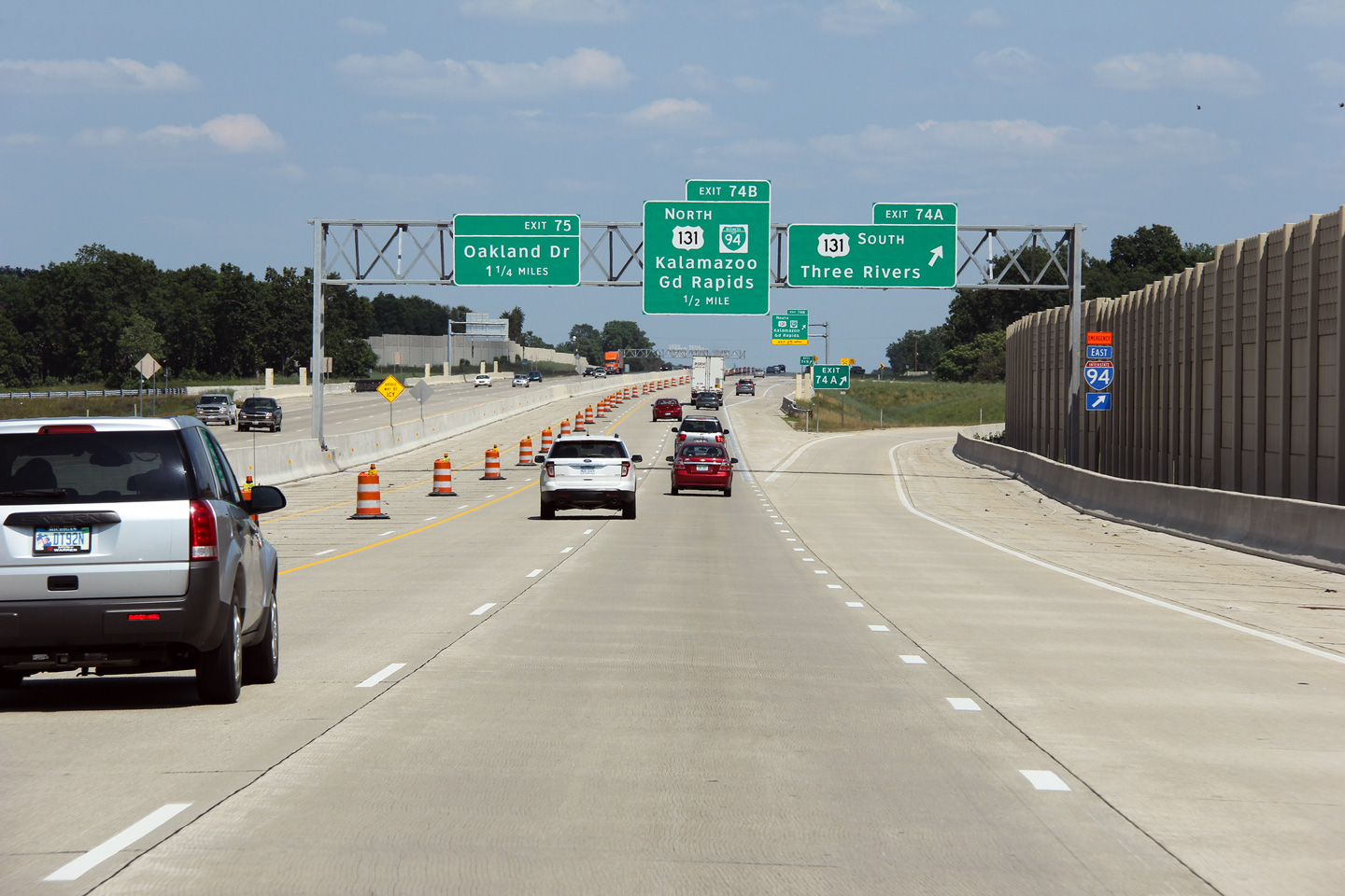
Kalamazoo County |
Advanced signage along I-94 East approaching the US-131 interchange. Notice that the advanced signage for US-131 bound for Three Rivers omits the fact that this is the ramp to US-131 South. |
|
||
|
Date: 6/26/2011 |
High-res: (1440x960) (2400x1600) |
|||
|
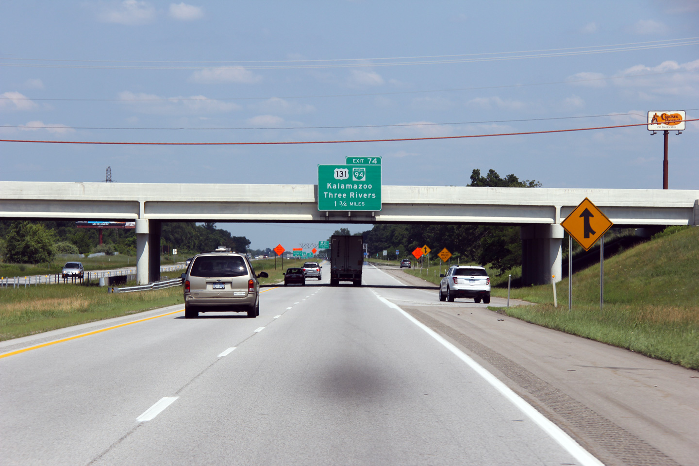
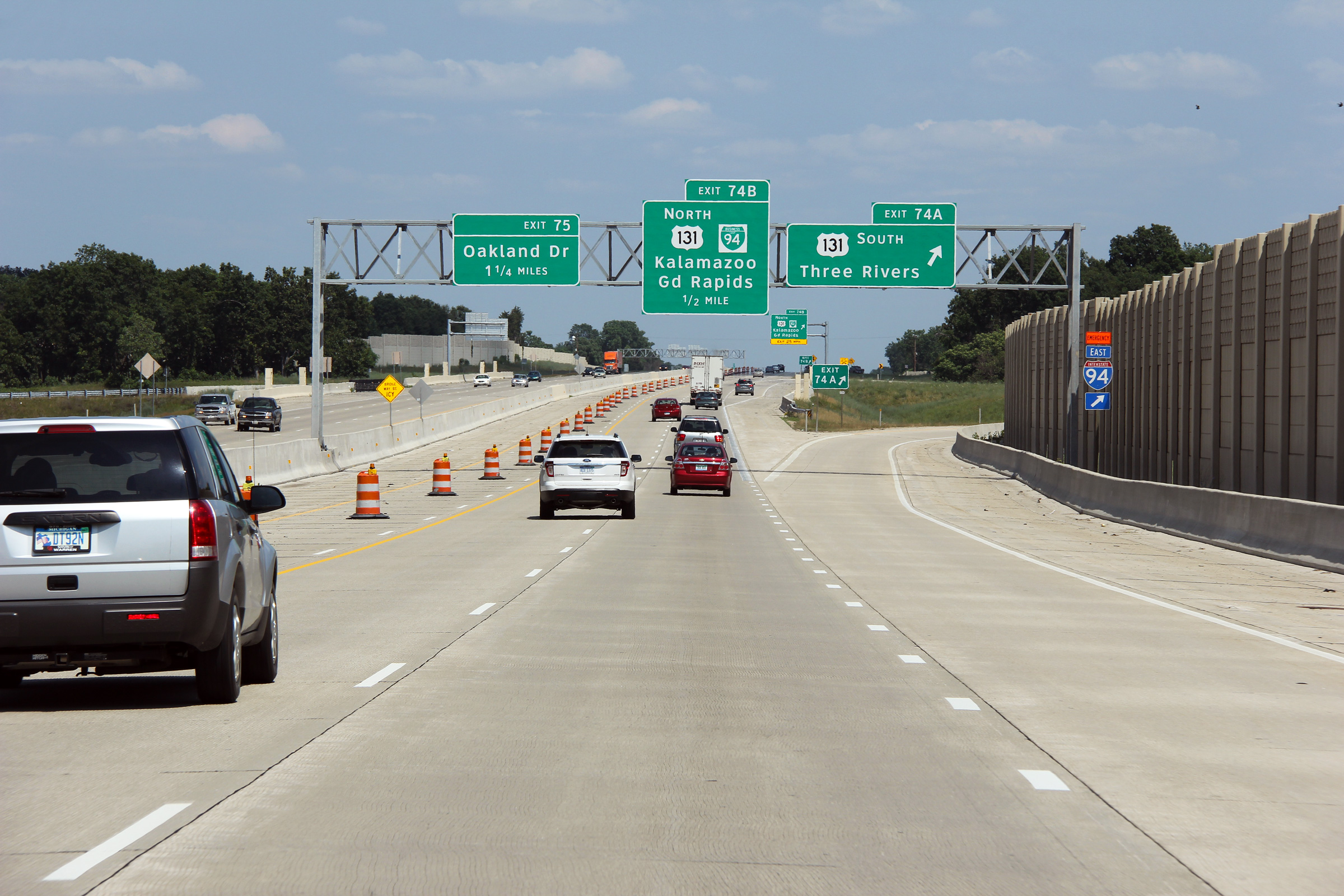
Kalamazoo County |
Eastbound signage approaching the ramp to US-131 South. At the time this photo was taken, MDOT had just wrapped up a multiyear project to upgrade the I-94/US-131 interchange and six lane I-94 in the vicinity of the interchange. At the time the photo was taken, the left-most eastbound lane of I-94 was still closed to traffic due to the continued six laning of the interstate through Central and Eastern Kalamazoo. The project, which will see six lanes pushed as far east as Lovers Lane, is set to be completed in November 2011. |
|
||
|
Date: 6/26/2011 |
High-res: (1440x960) (2400x1600) |
|||
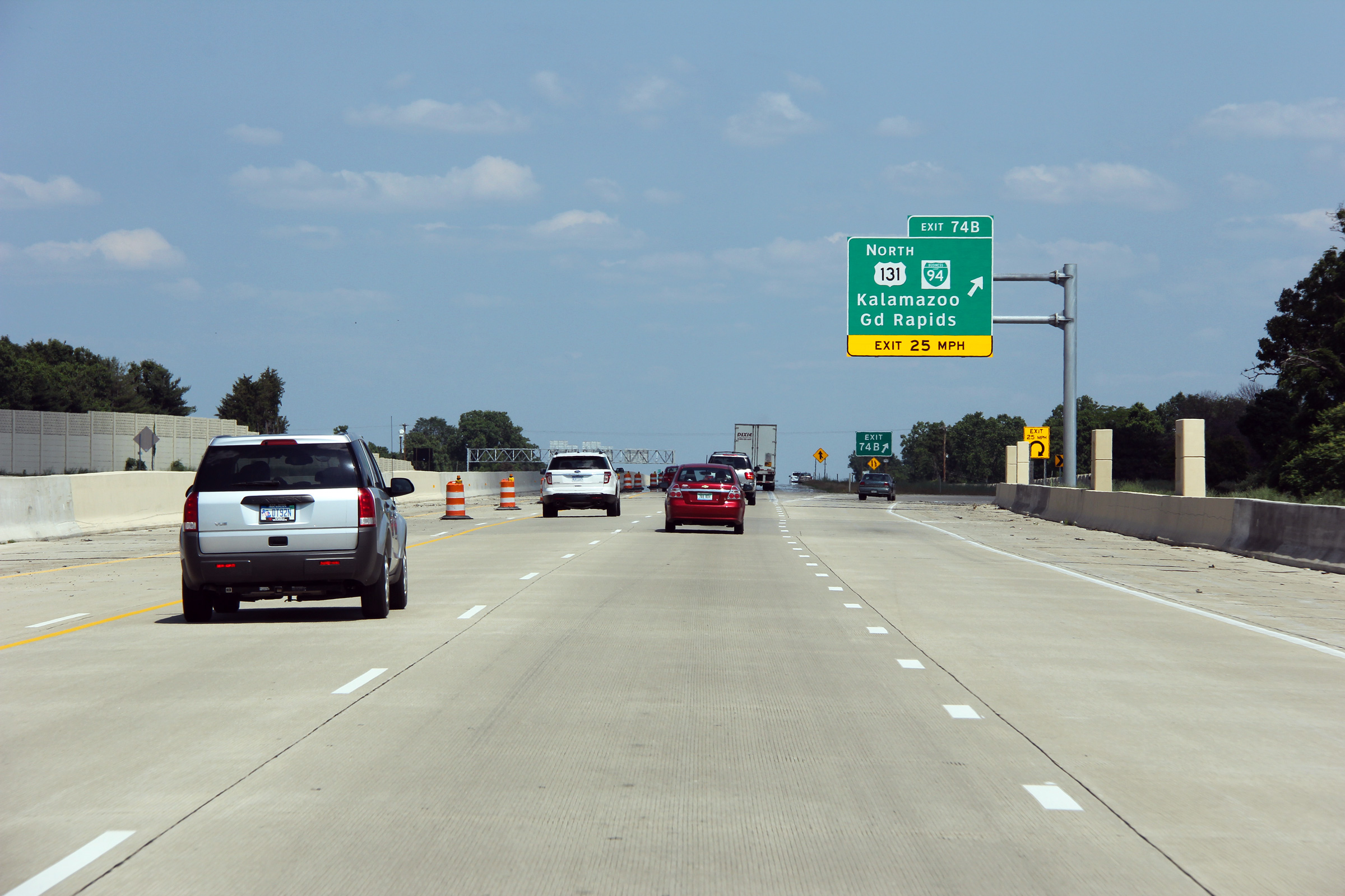
|
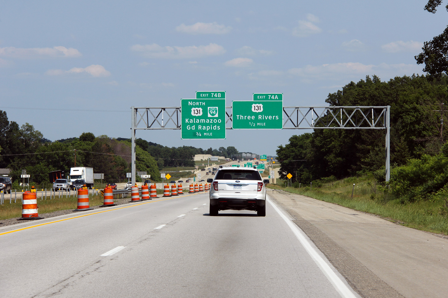
Kalamazoo County |
Eastbound view at the loop ramp to US-131 North. I-94 meets US-131 at a three-quarter cloverleaf interchange with a semi-directional ramp performing the task of a loop ramp for southbound to eastbound movements. |
 |
||
|
Date: 6/26/2011 |
High-res: (1440x960) (2400x1600) |
|||
|
Kalamazoo County |
Two views approaching the M-37 and Business I-94 interchange. The arched girder bridge pictured here has had the ornamental steel railings replaced. Arched bridges were more prevalent in Michigan and Ontario than in any other jurisdiction that I have visited. There are however, subtle difference between those arch bridges still standing in Michigan, to those in Ontario. The structures in Michigan use bearings to connect the girders to the piers. In Ontario however, arched bridges generally sit directly on top of piers, with no bearing visible. |
 |
||
|
High-res: (1440x960) (2400x1600) |
||||
 |
||||
|
Date: 6/26/2011 |
High-res: (1440x960) (2400x1600) |
|||
|
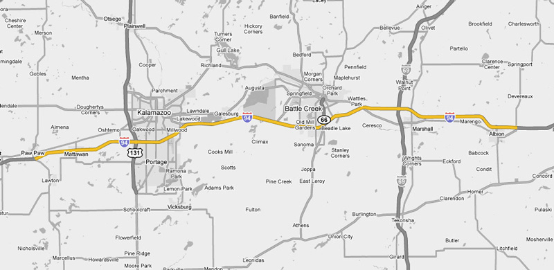
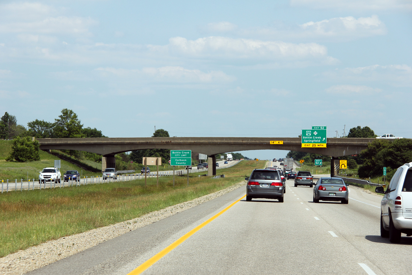
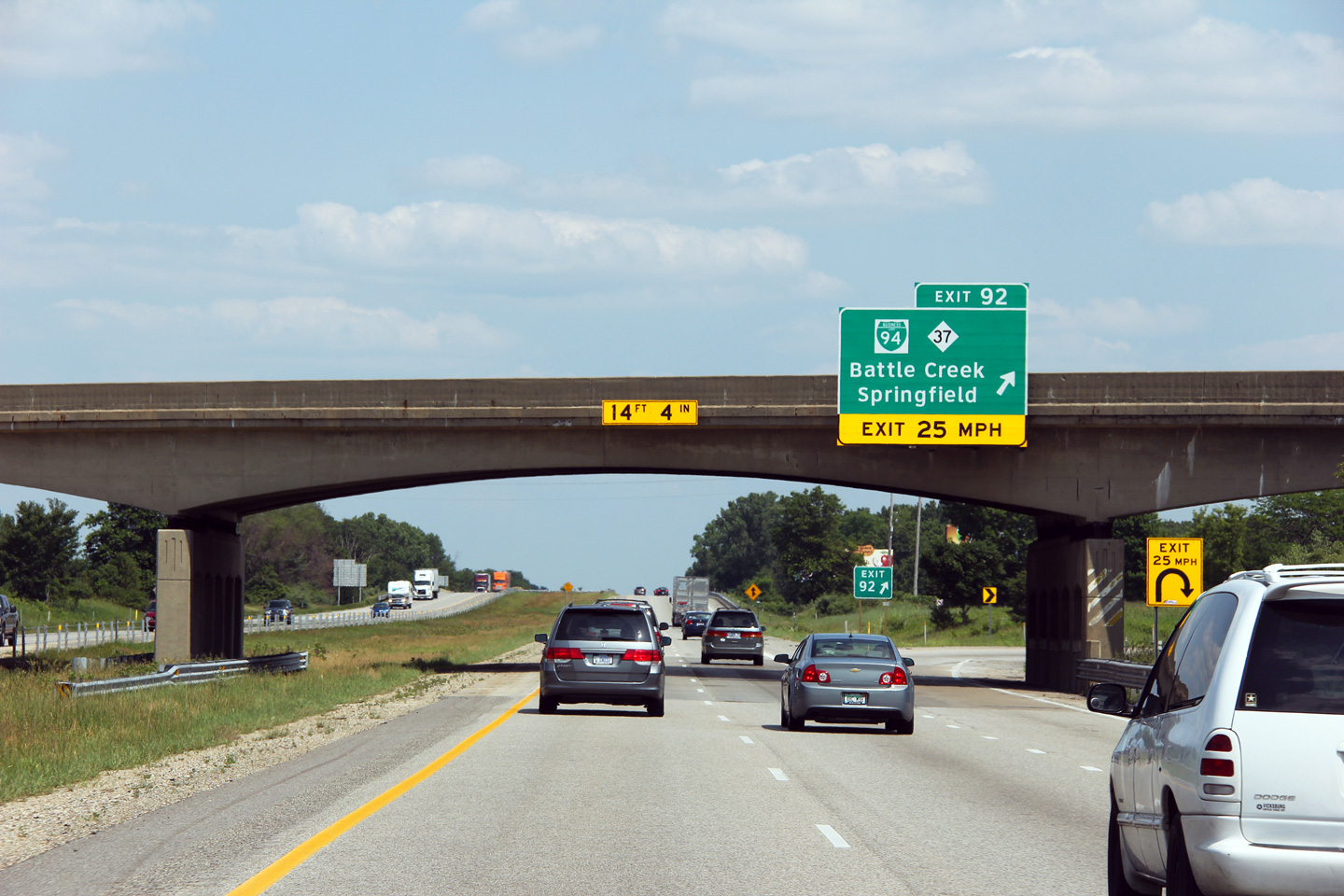
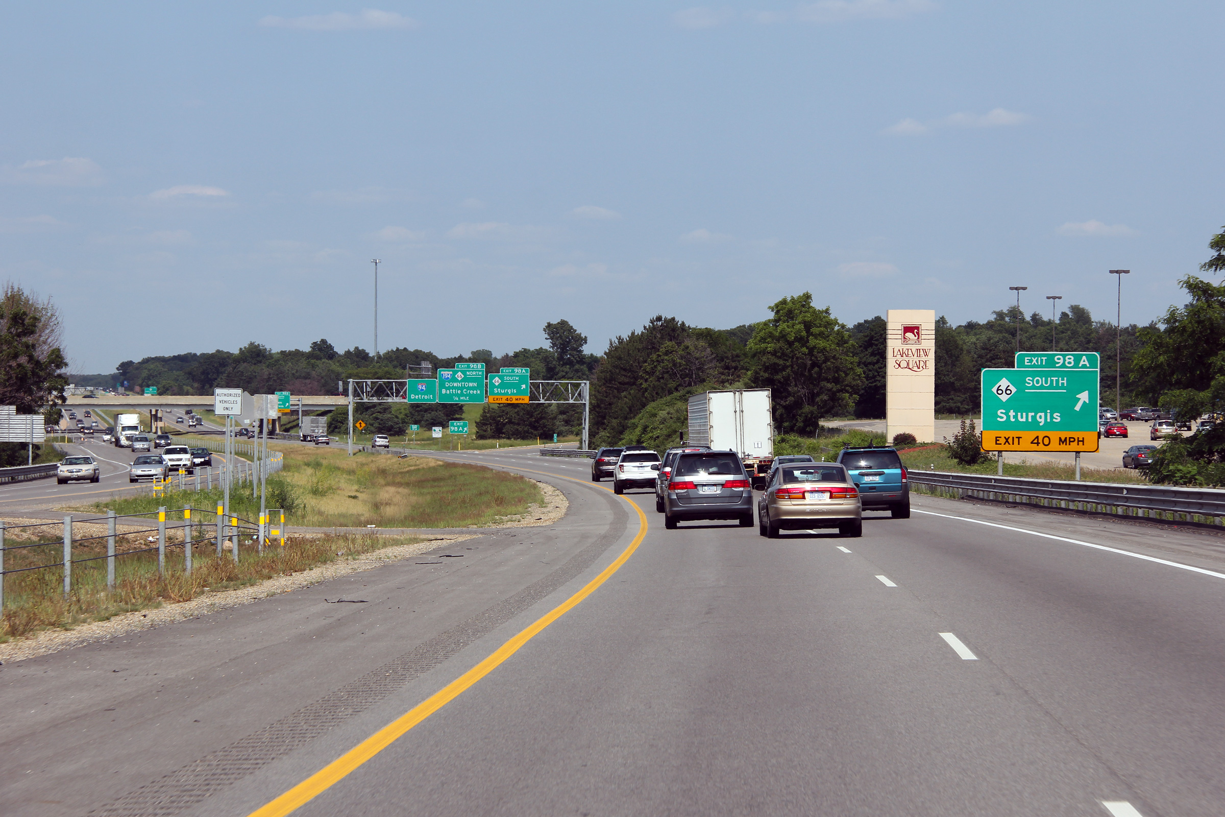
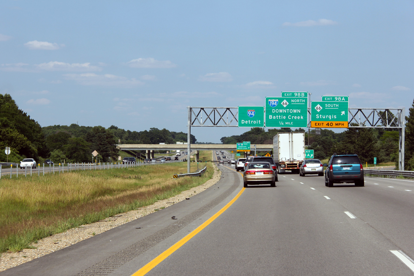
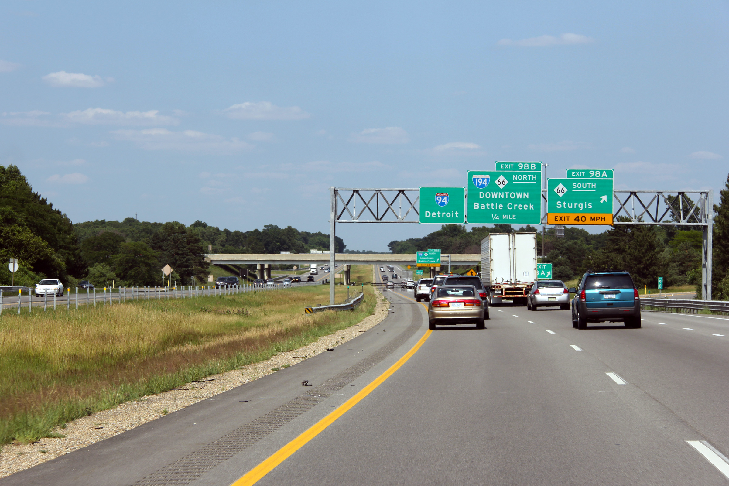
Calhoun County |
Two photos of the eastbound guide signage for M-66 and I-194 at Battle Creek. I-94 meets M-66 and I-194 at a cloverleaf interchange. |
|
||
|
High-res: (1440x960) (2400x1600) |
||||
|
|
||||
|
Date: 6/26/2011 |
High-res: (1440x960) (2400x1600) | |||
|
Calhoun County |
Eastbound view as Interstate 94 passes overtop of the Kalamazoo River. |
 |
||
|
Date: 6/26/2011 |
High-res: (1440x960) (2400x1600) |
|||
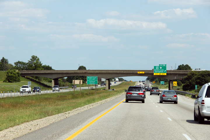
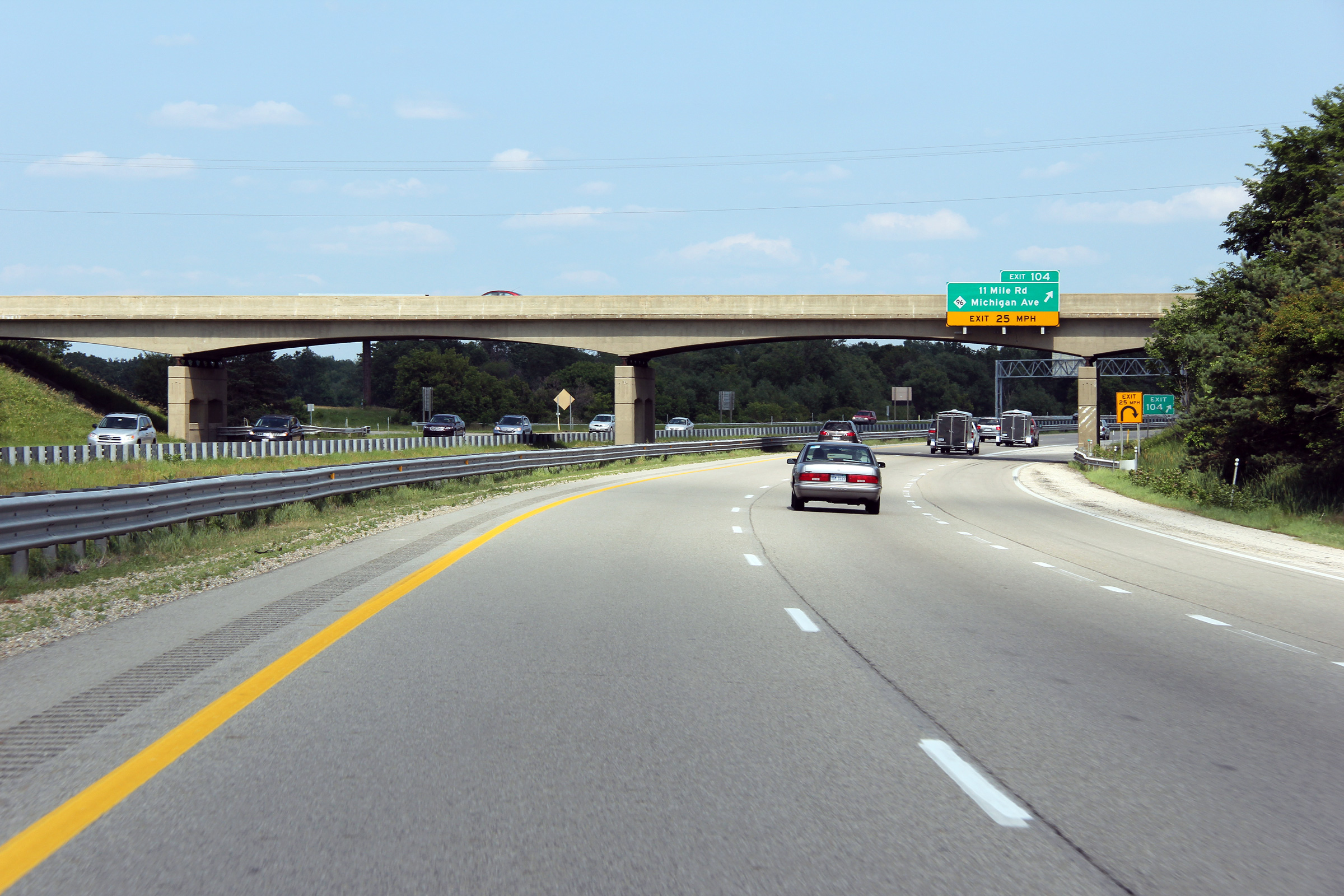
| Calhoun County |
Eastbound view approaching the M-96 Interchange. M-96 is a short highway that runs diagonally southeast from Kalamazoo to Interstate 69 at Marshall. |
 |
||
|
Date: 6/26/2011 |
High-res: (1440x960) (2400x1600) |
|||
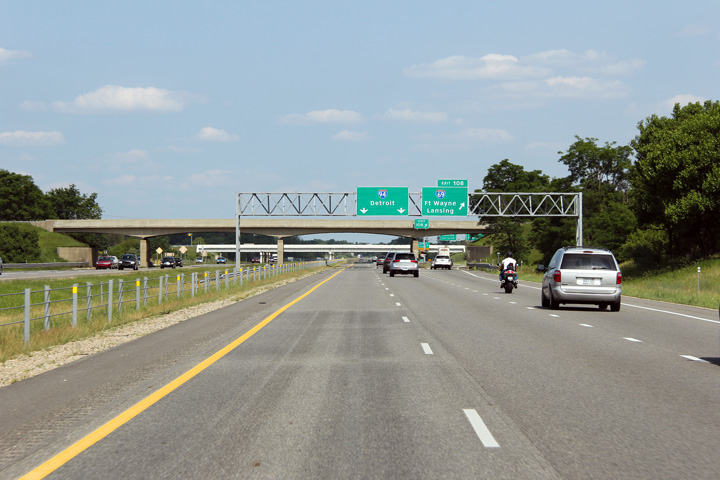
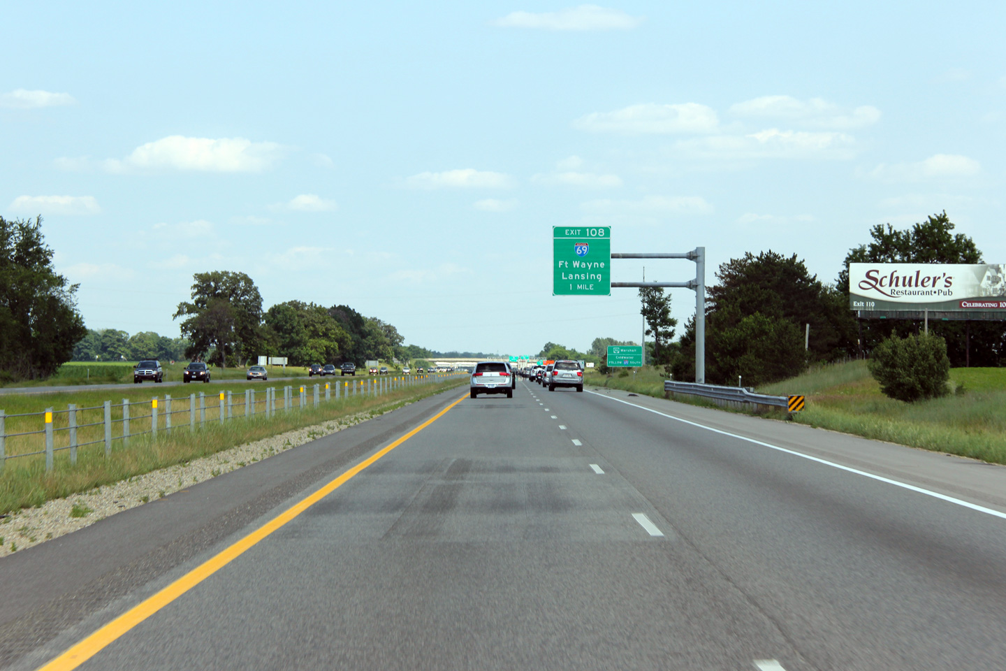
| Calhoun County |
1 mile advanced signage for the Interstate 69 interchange. |
 |
||
|
Date: 6/26/2011 |
High-res: (1440x960) |
|||
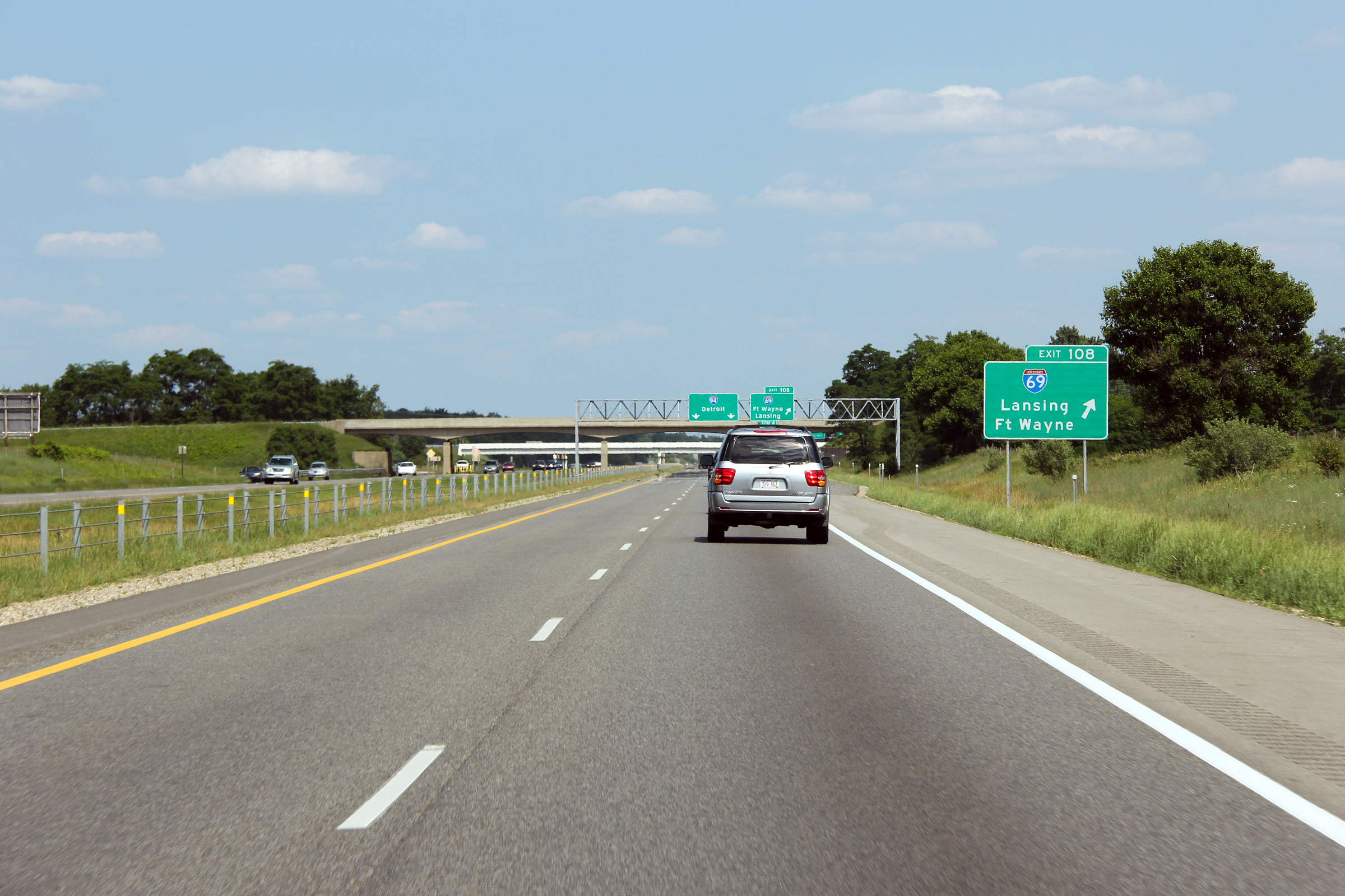
| Calhoun County |
Ground mounted signage for I-69 in advance of the off-ramp. |
 |
||
|
Date: 6/26/2011 |
High-res: (1440x960) (2400x1600) |
|||
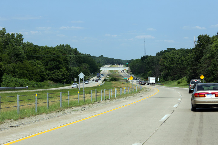
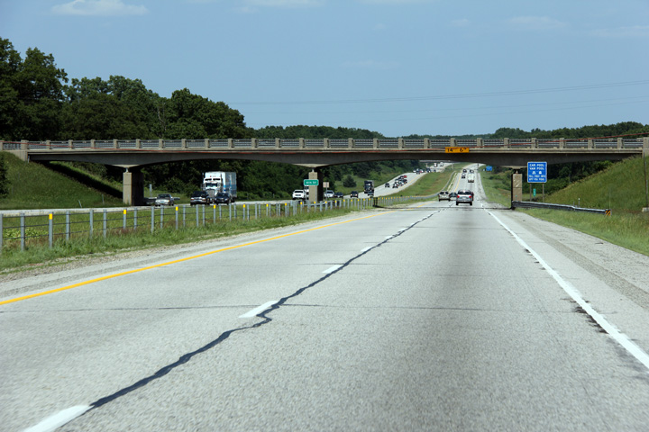
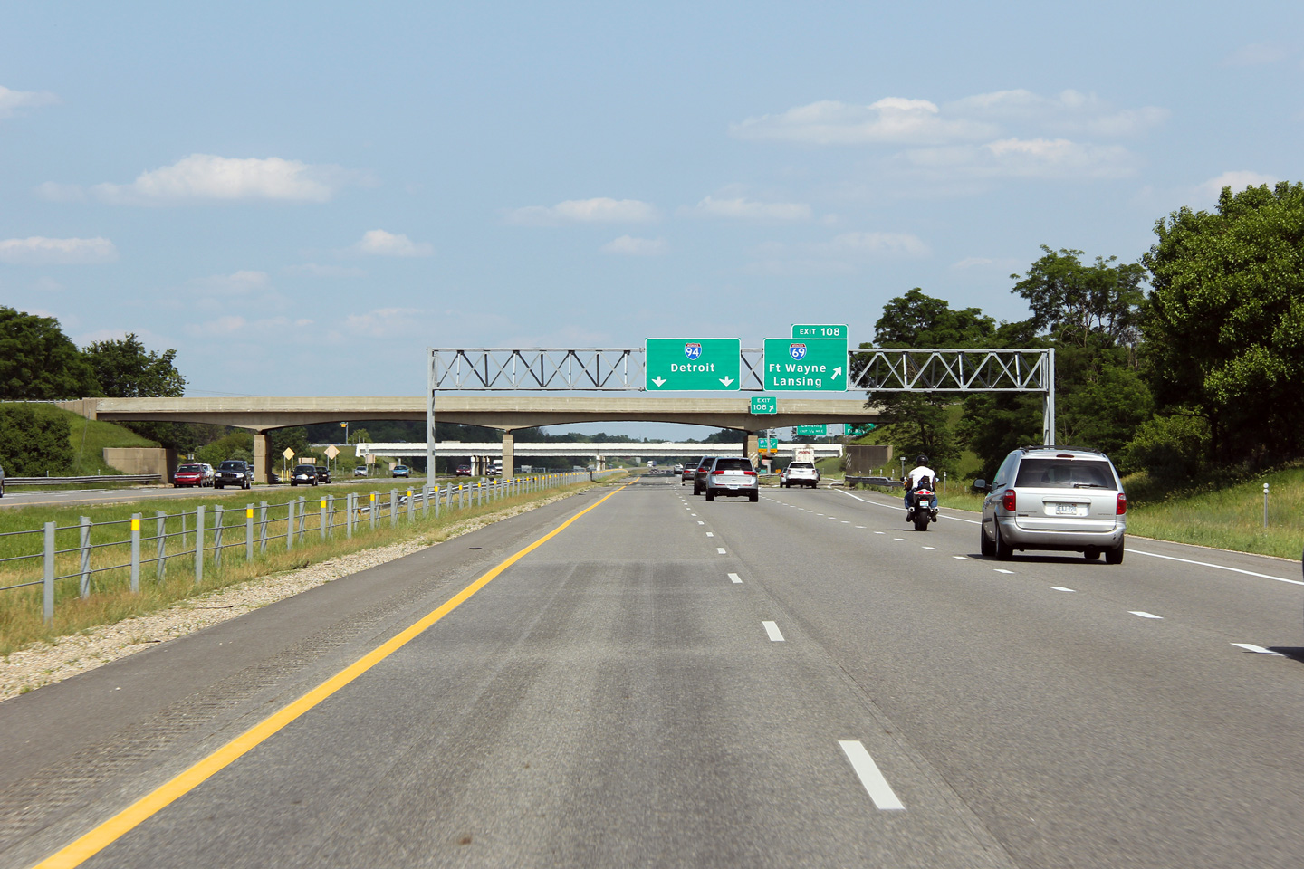
| Calhoun County |
Easterly view as Interstate 94 approaches the I-69 interchange. I-69 meets I-94 at a full cloverleaf with sub-collector lanes adjacent both freeways to separate weaving traffic from high speed traffic. |
 |
||
|
Date: 6/26/2011 |
High-res: (1440x960) (2400x1600) |
|||
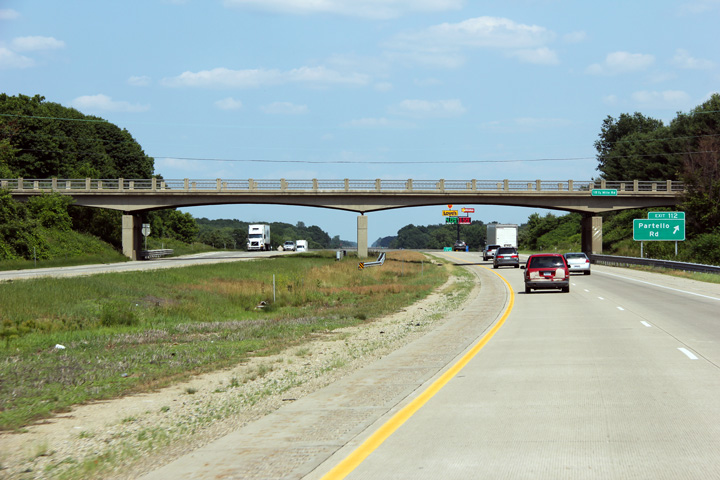
| Calhoun County |
Eastbound view approaching the Partello Road interchange as the interstate passes beneath of the 18 1/2 Mile Road overpass. |
 |
||
|
Date: 6/26/2011 |
High-res: (1440x960) (2400x1600) |
|||
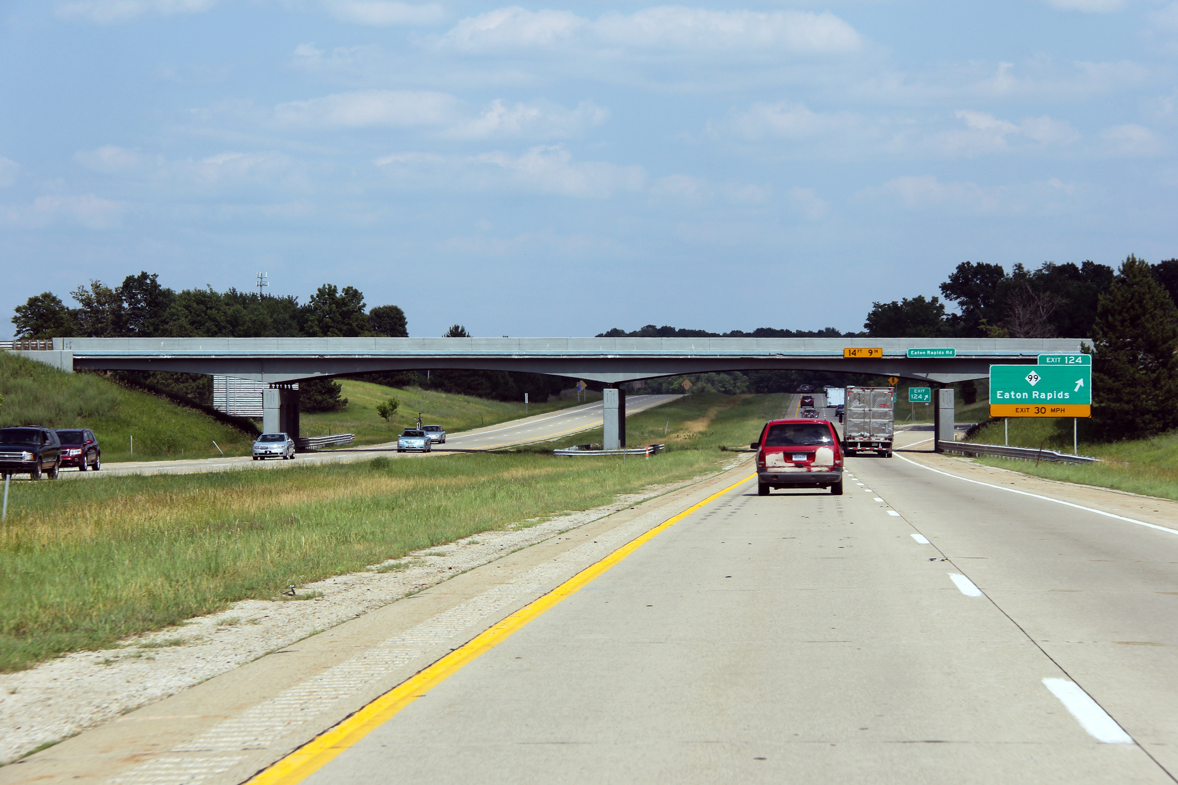
| Calhoun County |
View looking easterly as Interstate 94 passes underneath of the Eaton Rapids Road at the Eaton Rapids Road interchange. |
 |
||
|
Date: 6/26/2011 |
High-res: (1440x960) (2400x1600) |
|||
|
Continue east along I-94. Click here for Albion to Ann Arbor images. |
||||
<- Page 1 Back to I-94 Index Page 3 ->
© 2004-2011 AsphaltPlanet.ca.
AsphaltPlanet@asphaltplanet.ca
Page Created: June 7, 2007.
Last Updated: July 29, 2011.


