AsphaltPlanet.ca > Arizona > Route 188
|
Southern Terminus: US Route 60 near Globe.
Northern Terminus: Highway 87 south of Rye. Length: 60.85 Miles (97.93km). |
Pictures on this page are arranged in order from south to north. AZ-188 North photos are left-aligned in the last column, while AZ-188 South photos are right-aligned. Center-line pictures are centered within the last column.
|
Location |
Description |
Photo |
||
|
North- |
South- |
|||
|
Gila County |
For the first few miles north of US-60, Highway 188 has an undivided four lane cross-section. |
 |
||
|
Date: 21/3/2013 |
High-res: (1440x960) (2400x1600) | |||
|
Gila County |
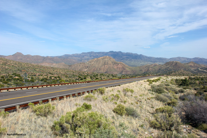
Northerly view along Highway 188 as the highway runs along a hillside. |
 |
||
|
Date: 21/3/2013 |
High-res: (1440x960) (2400x1600) | |||
|
Gila County |
Northerly view from about a mile northerly from the previous photo. |
 |
||
|
Date: 21/3/2013 |
High-res: (1440x960) (2400x1600) | |||
|
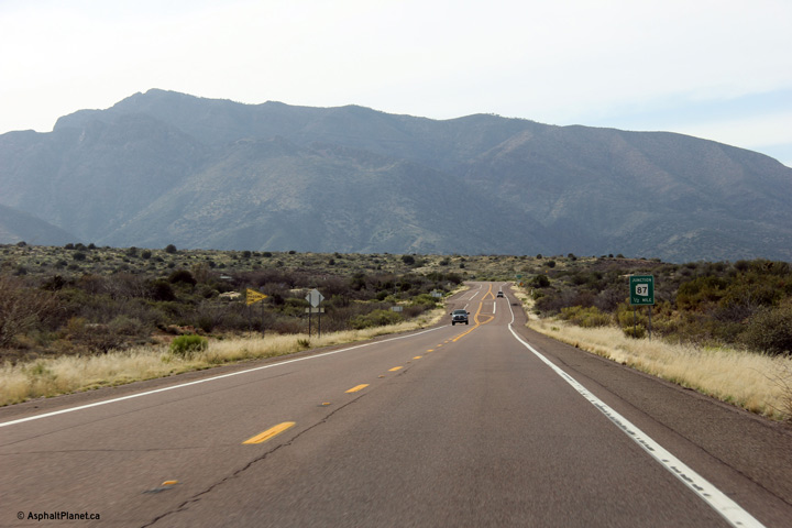
Gila County |
This view looks southerly along Highway 188 towards Globe. The high mountains of the Salt River Canyon Wilderness dominate the background. |
 |
||
|
Date: 21/3/2013 |
High-res: (1440x960) (2400x1600) | |||
|
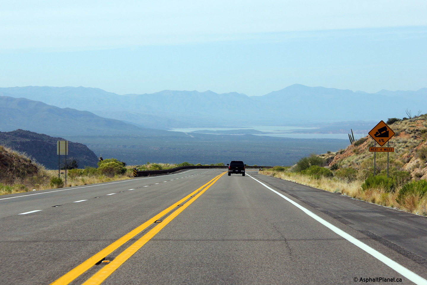
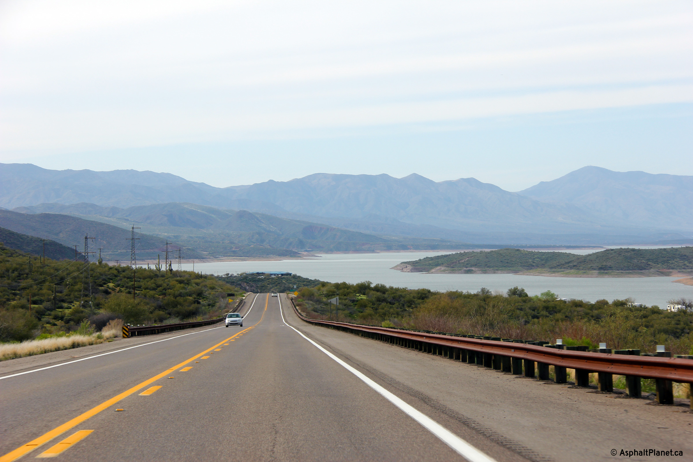
Gila County |
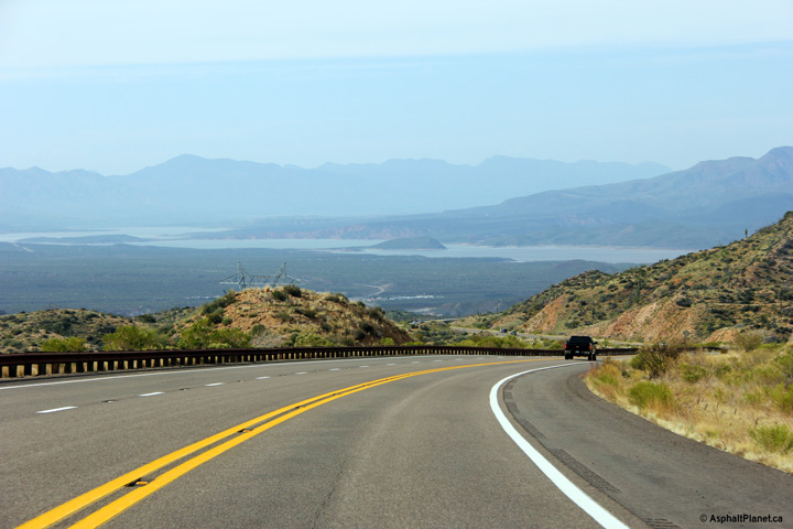
Northerly view as Highway 188 rounds a gentle curve just beyond the crest of the ridge. Theodore Roosevelt Lake presents itself to travelers for the first time at the bottom of this large valley. Lake Roosevelt is a large man-made lake that was created when the Salt River was dammed in 1911. |
 |
||
|
Date: 21/3/2013 |
High-res: (1440x960) (2400x1600) | |||
|
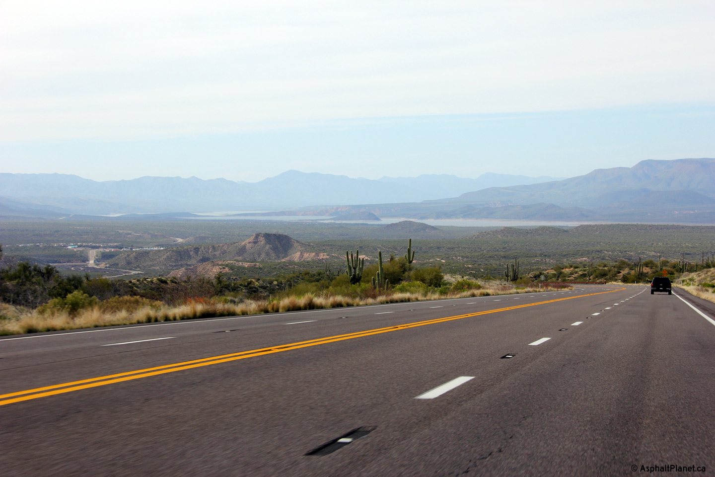
Gila County |
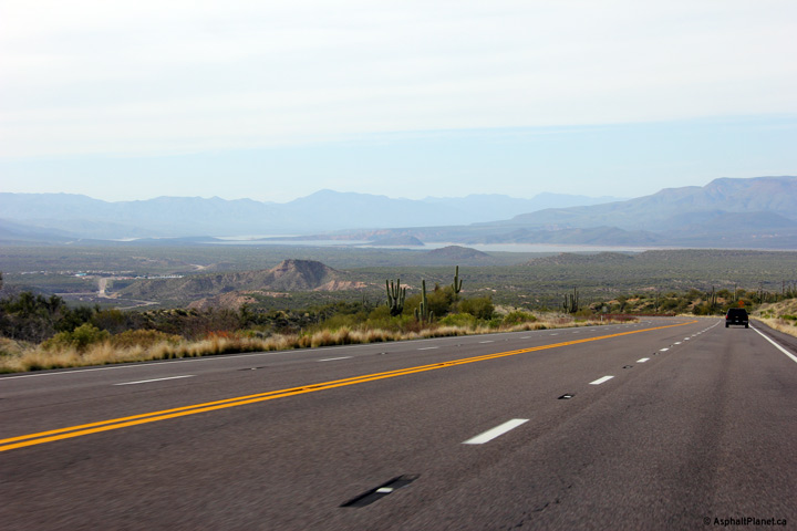
View looking northerly as Highway 188 descents into the Lake Roosevelt valley. |
 |
||
|
Date: 21/3/2013 |
High-res: (1440x960) (2400x1600) | |||
|
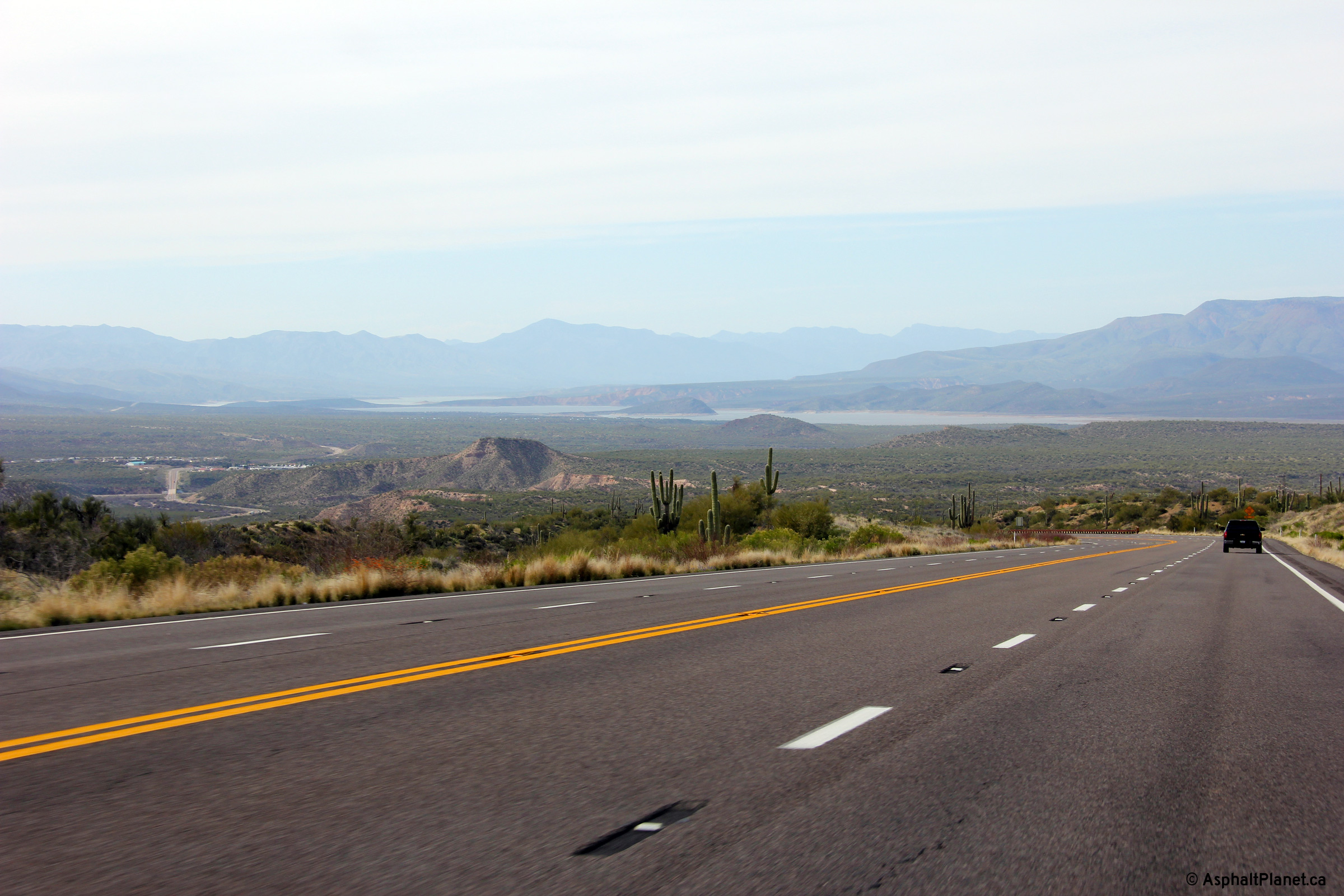
Gila County |
Northerly view north of the Highway 288 intersection. Highway 188 has a brief four lane segment for several miles in the vicinity of the Highway 188 intersection. |
 |
||
|
Date: 21/3/2013 |
High-res: (1440x960) (2400x1600) | |||
|
Gila County |
Northerly view along Highway 188 as the highway continues its descent into the Roosevelt Lake basin and outlet dam. |
 |
||
|
Date: 21/3/2013 |
High-res: (1440x960) (2400x1600) | |||
|
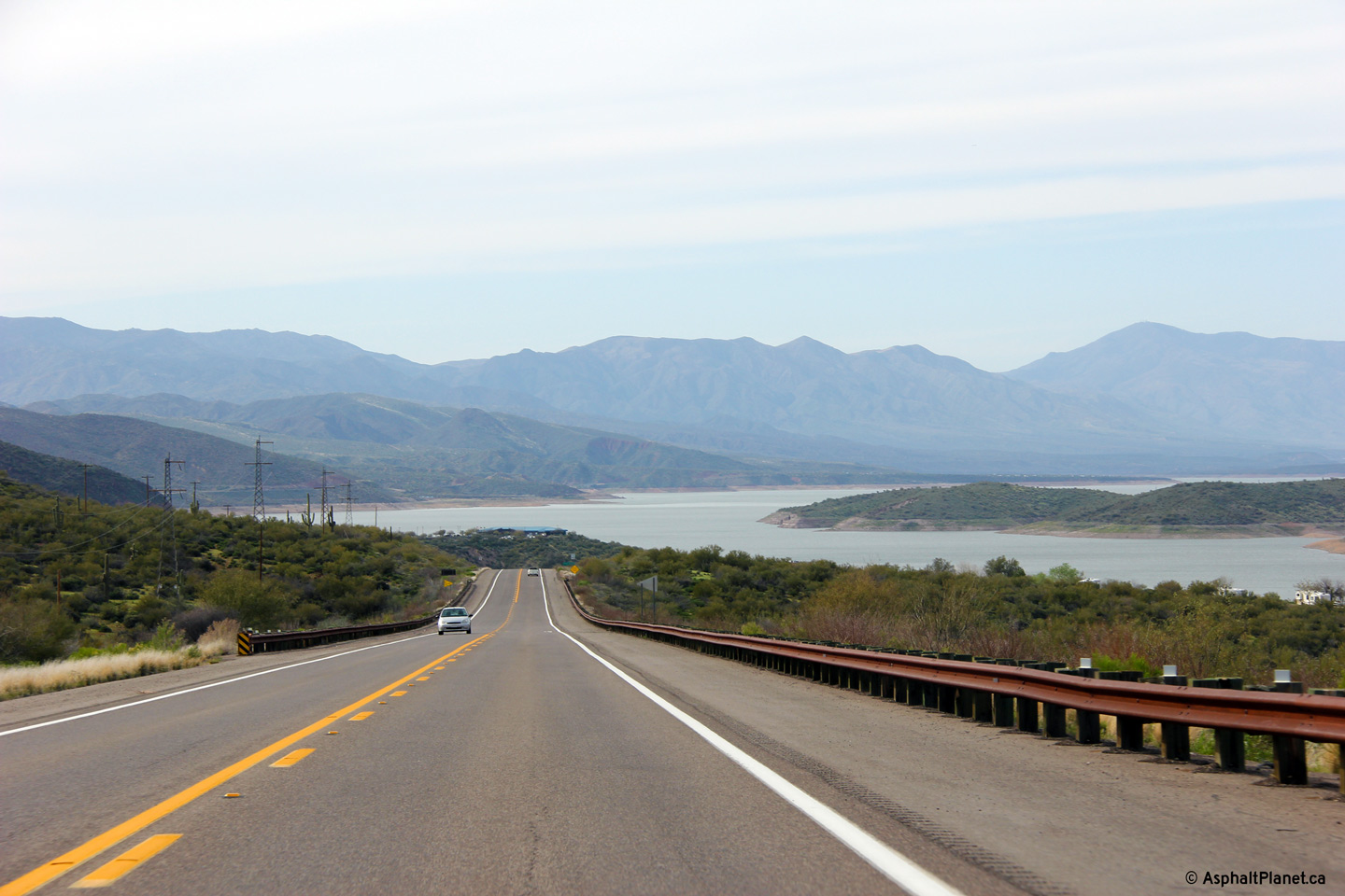
Gila County |
View looking northerly from the Highway 88 intersection towards the Roosevelt Lake bridge. |
 |
||
|
Date: 21/3/2013 |
High-res: (1440x960) (2400x1600) | |||
|
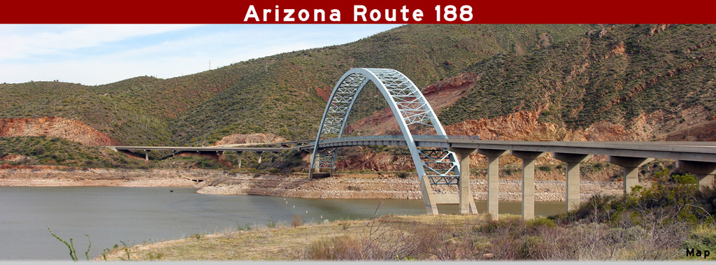
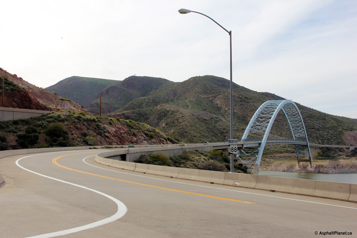
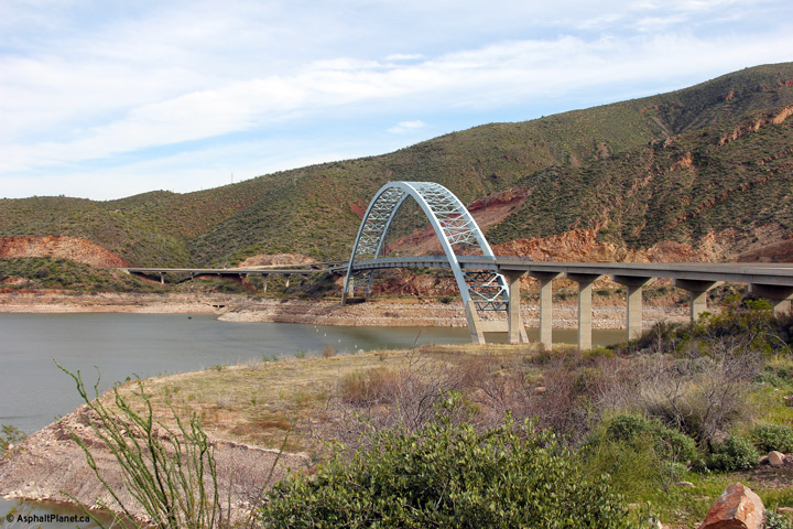
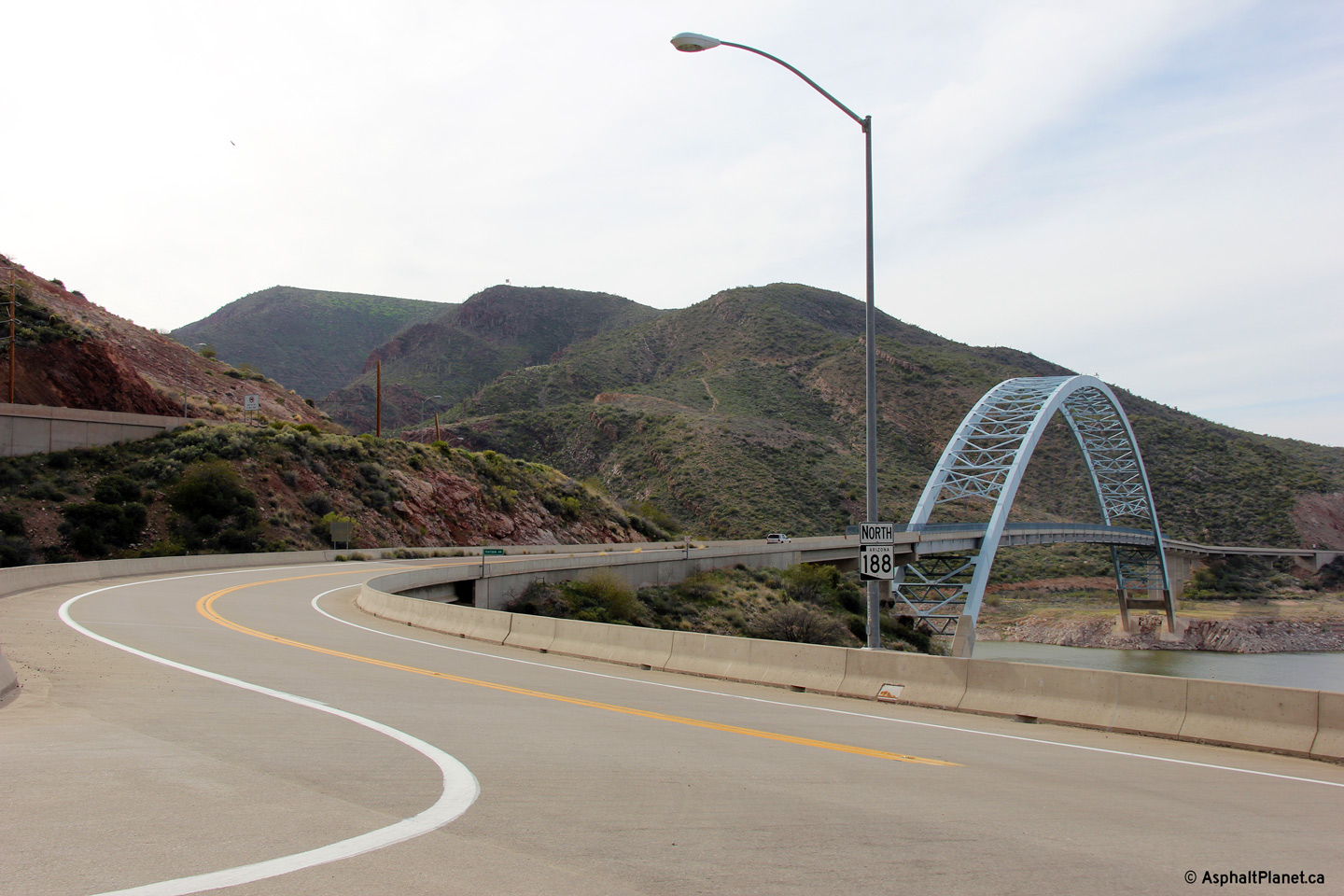
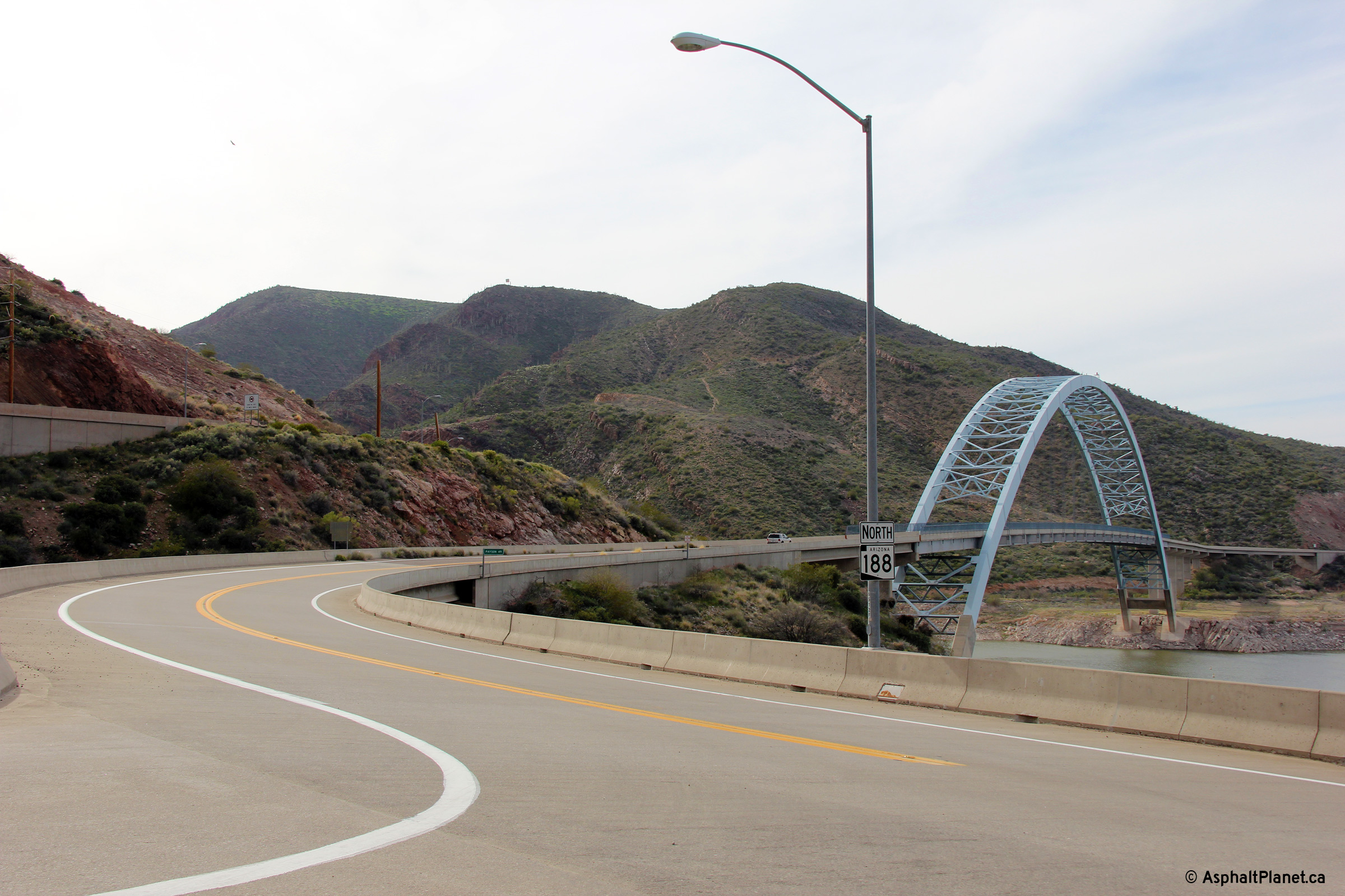
Gila County |
View looking easterly towards the Theodore Lake Bridge that carries Highway 188 high overtop of Roosevelt Lake. This high level bridge was completed in the 1990s. Prior to the construction of the high level bridge, Highway 188 crossed the mouth of the Salt River via Theodore Roosevelt Dam. The bridge was constructed as part of an expansion project which saw the high of the original Theodore Roosevelt Dam raised 23m (77feet). |
 |
||
|
Date: 21/3/2013 |
High-res: (1440x960) (2400x1600) | |||
|
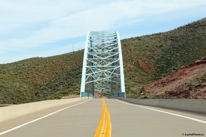
Gila County |
Southerly view across the Lake Roosevelt Bridge. Theodore Roosevelt Dam is located a short distance to the right of the bridge. |
 |
||
|
Date: 21/3/2013 |
High-res: (1440x960) (2400x1600) | |||
|
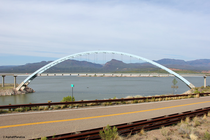
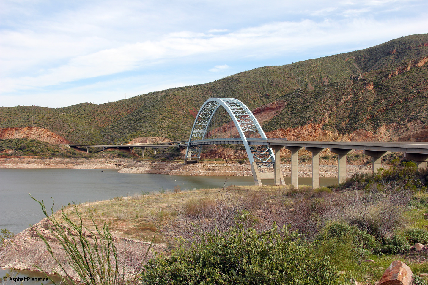
Gila County |
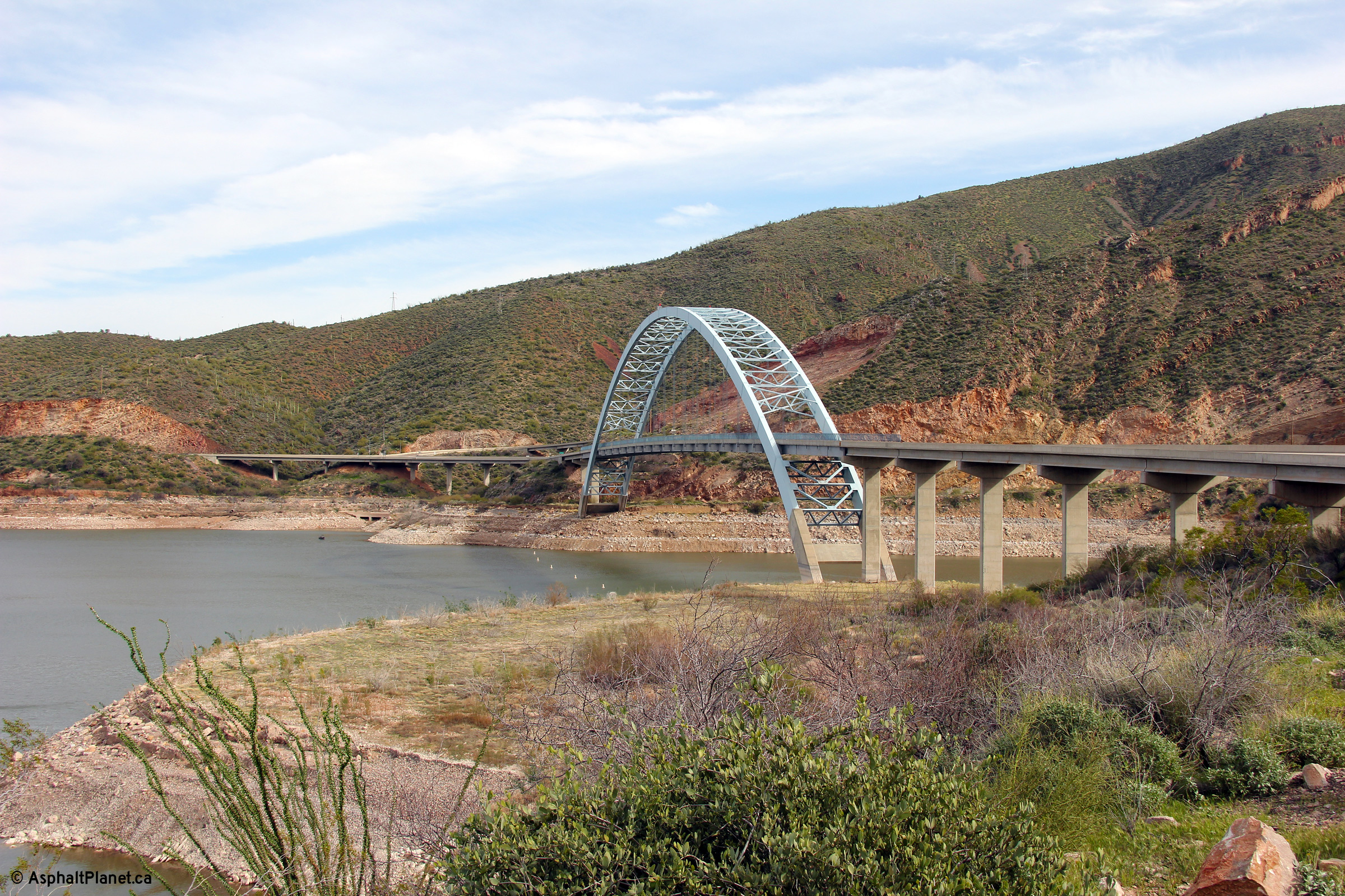
Scenic view of the Lake Roosevelt arch bridge from a roadside look-out to the north of the bridge. |
 |
||
|
Date: 21/3/2013 |
High-res: (1440x960) (2400x1600) | |||
|
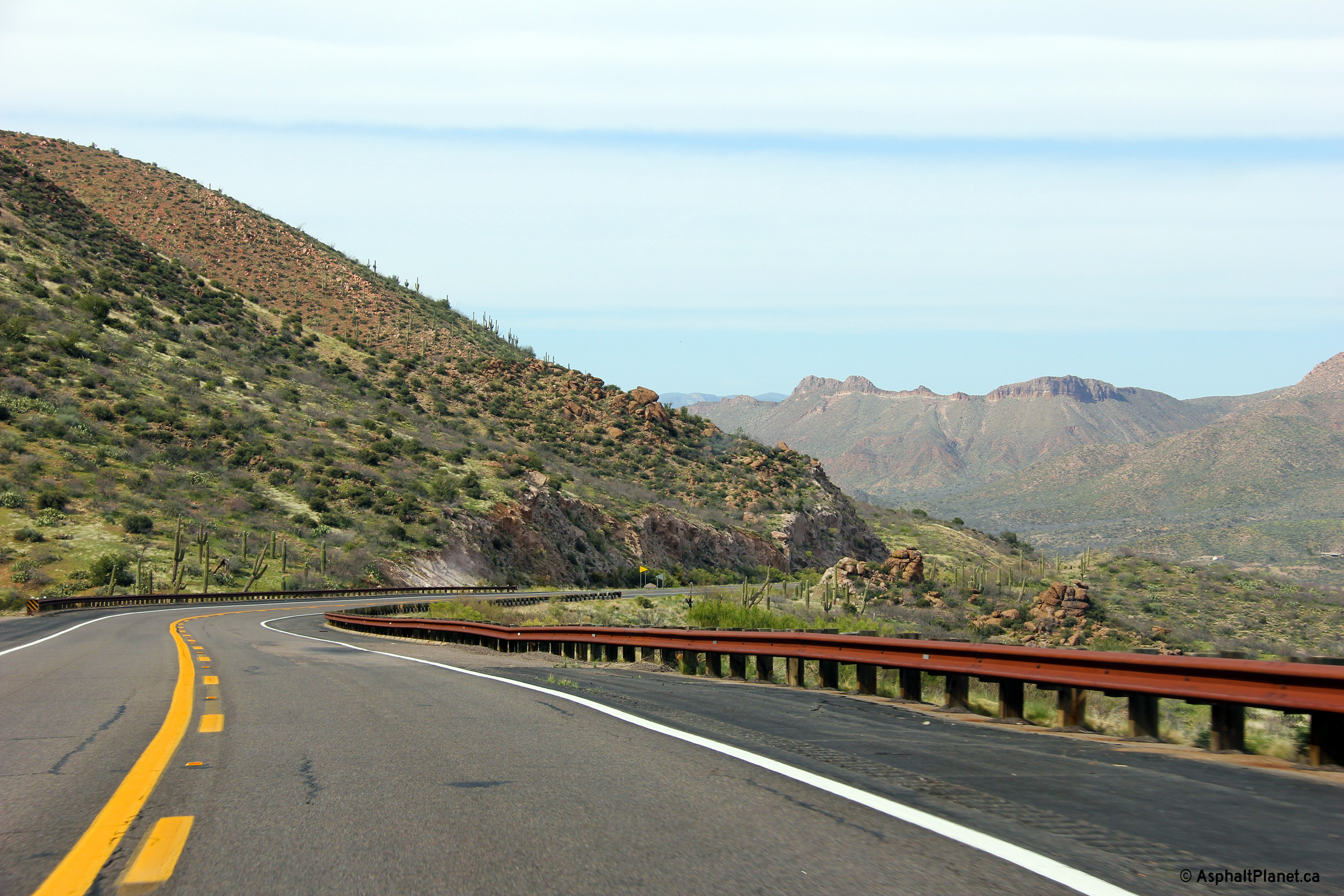
Gila County |
Northerly view as Highway 188 passes through the Theodore Roosevelt Lake Wildlife Area. |
 |
||
|
Date: 21/3/2013 |
High-res: (1440x960) (2400x1600) | |||
|
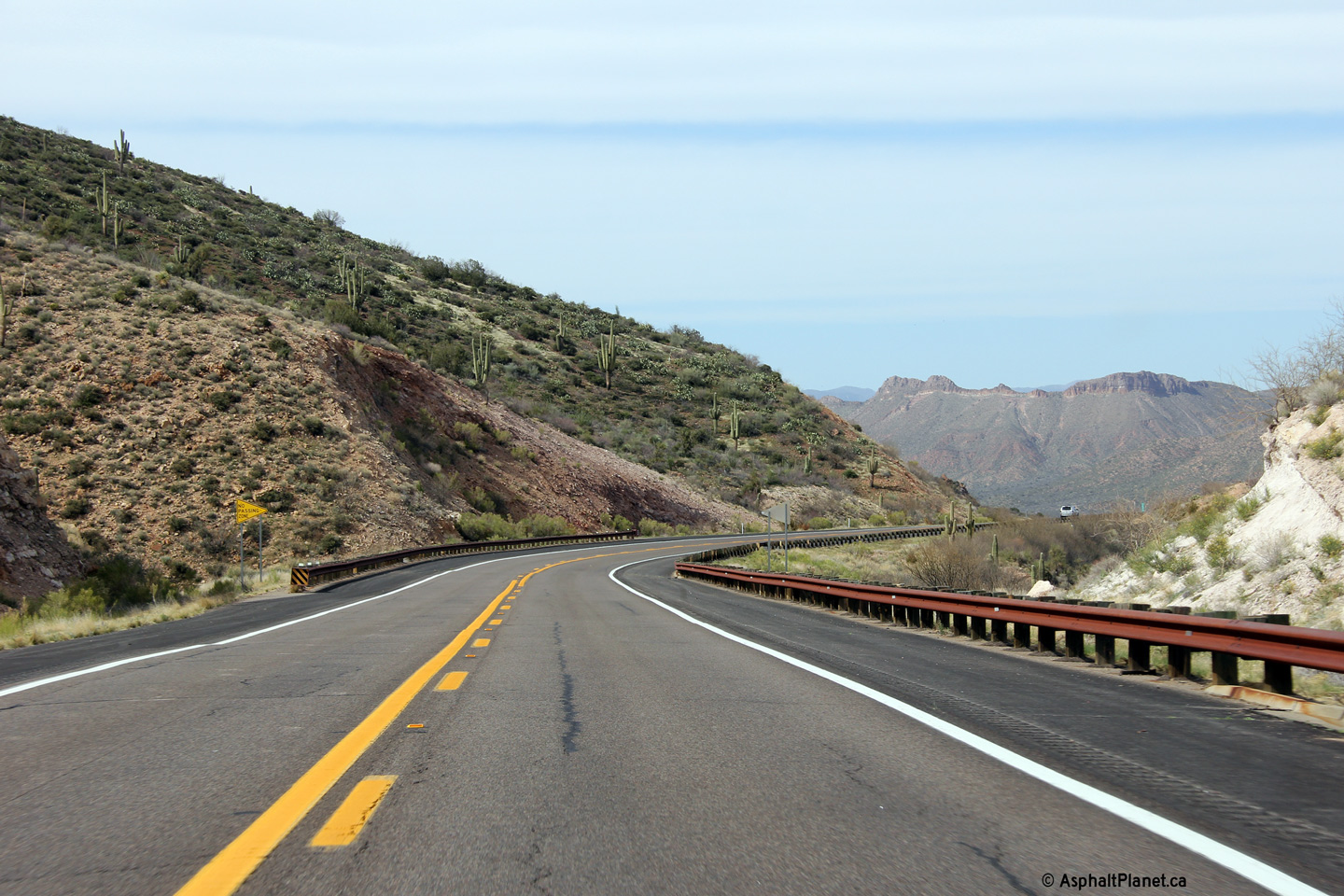
Gila County |
Northerly view approaching the Cottonwood Creek bridge along Highway 188. Beyond Cottonwood Creek, Highway 188 passes through a considerable notch in the tall ridge ahead before continuing north to Jakes Corner and Highway 87. Before the highway was notched through the hillside, Highway 188 followed a curving alignment that crossed overtop of the high ridge to the east of the current highway. |
 |
||
|
Date: 21/3/2013 |
High-res: (1440x960) (2400x1600) | |||
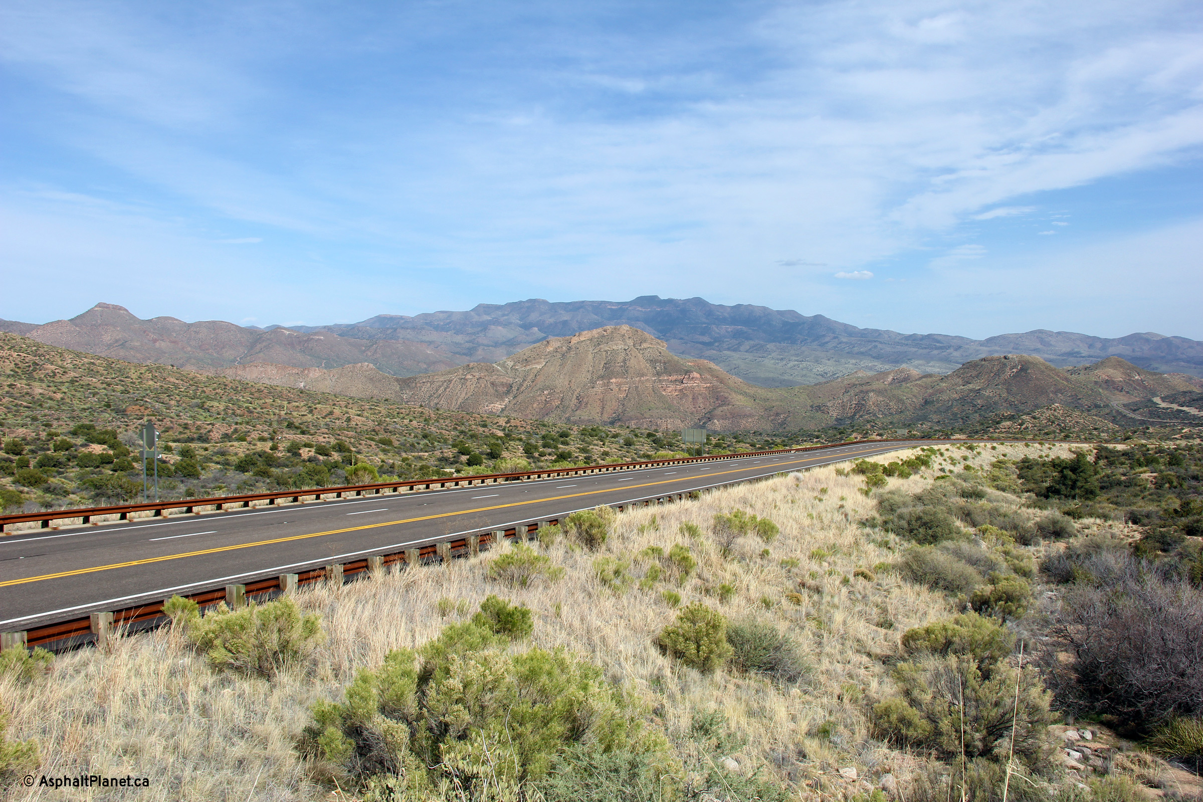
|
Gila County |
View looking northerly approaching the northern terminus of Highway 188 |
 |
||
|
Date: 21/3/2013 |
High-res: (1440x960) (2400x1600) | |||
<- AZ-187
AZ Highways
AZ-189 ->
AsphaltPlanet.ca
© 2006-2013 Scott Steeves.
Scott@asphaltplanet.ca
Page Created: October14 2013.
Last Updated: October 14 2013.